Note: Bob and Jen both contributed to writing this entry, so the “I” referred to below may not always be the same person. You can play a fun game trying to figure it out from context clues, such as passion for composting.
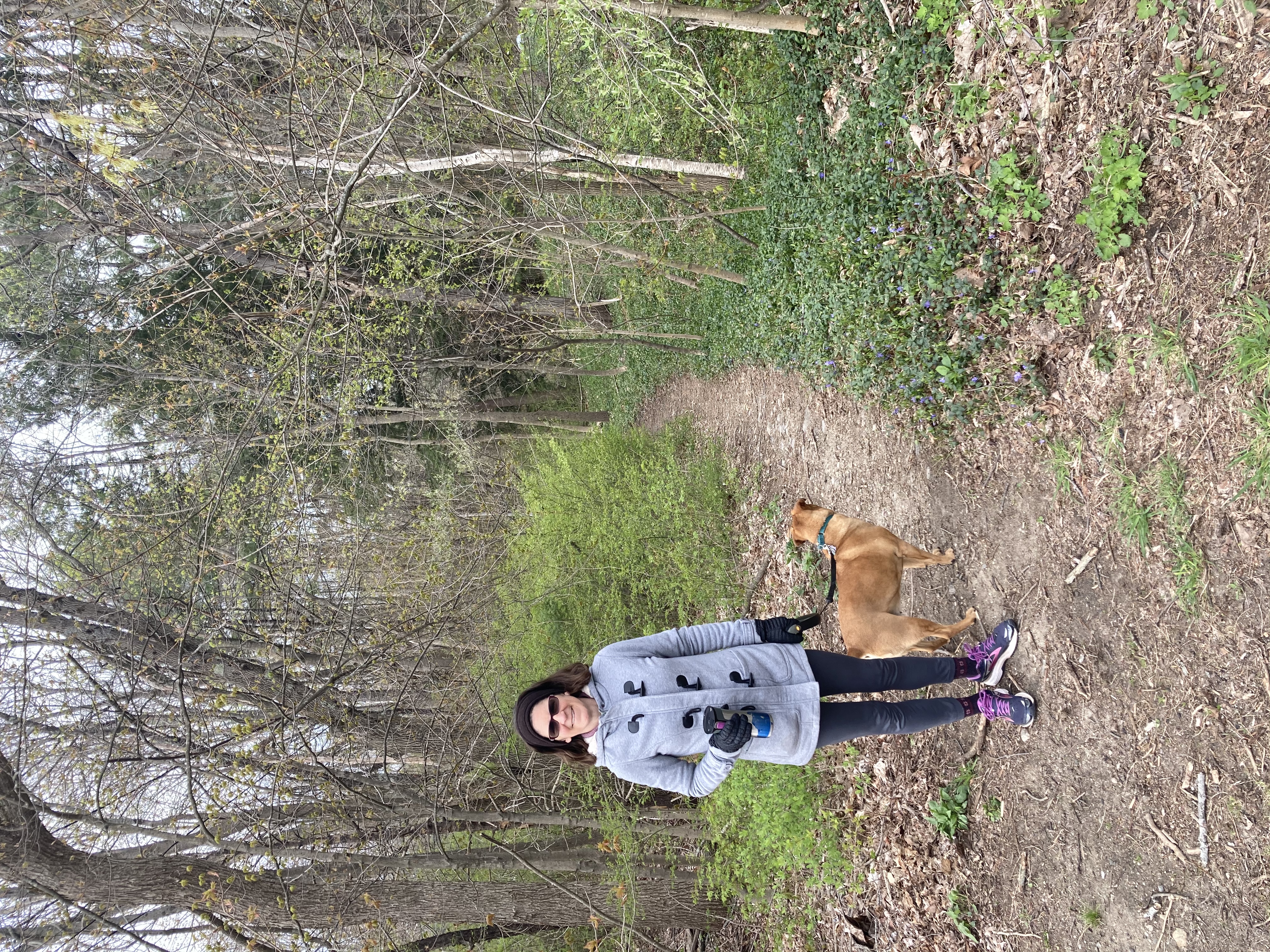
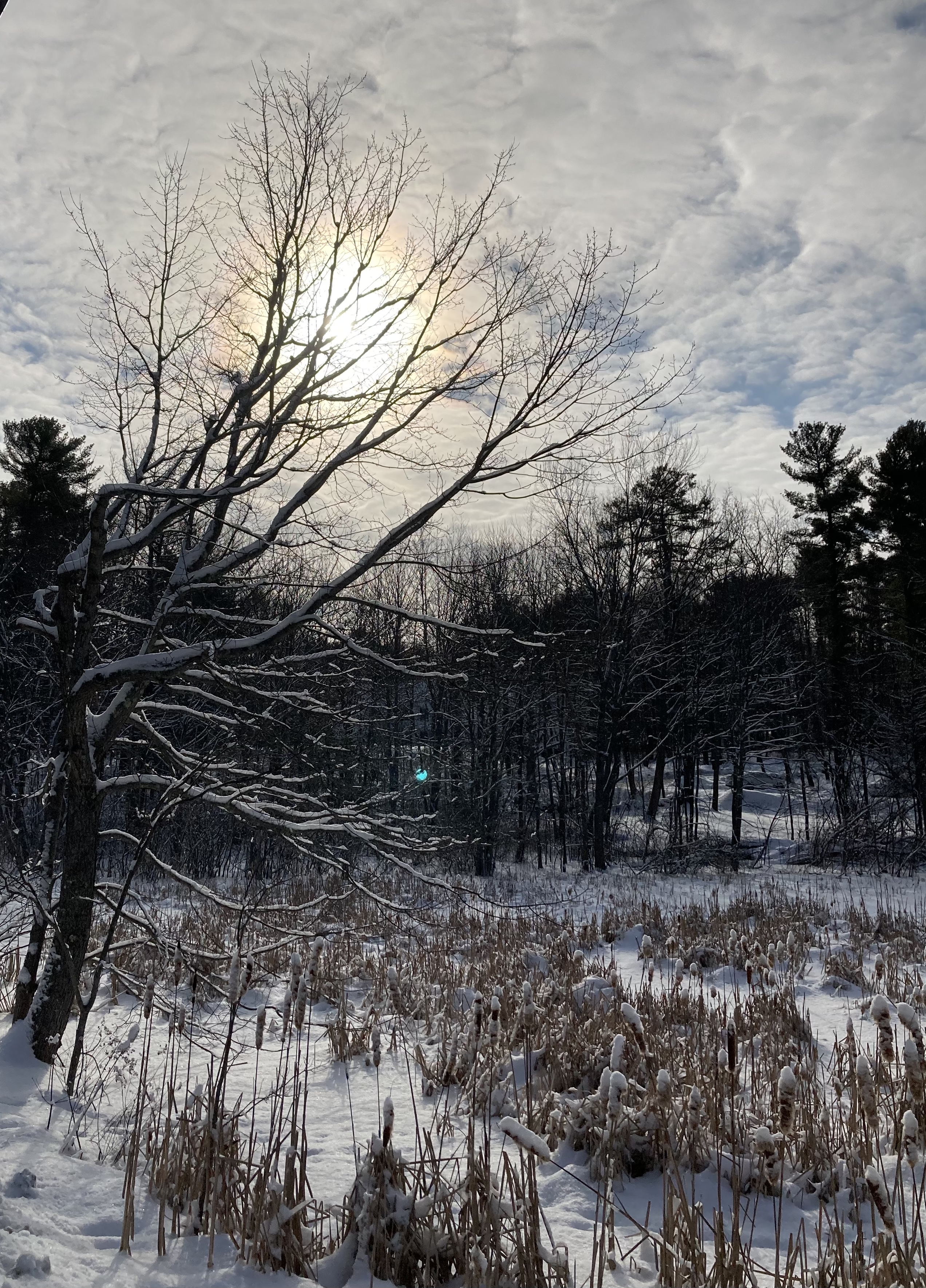
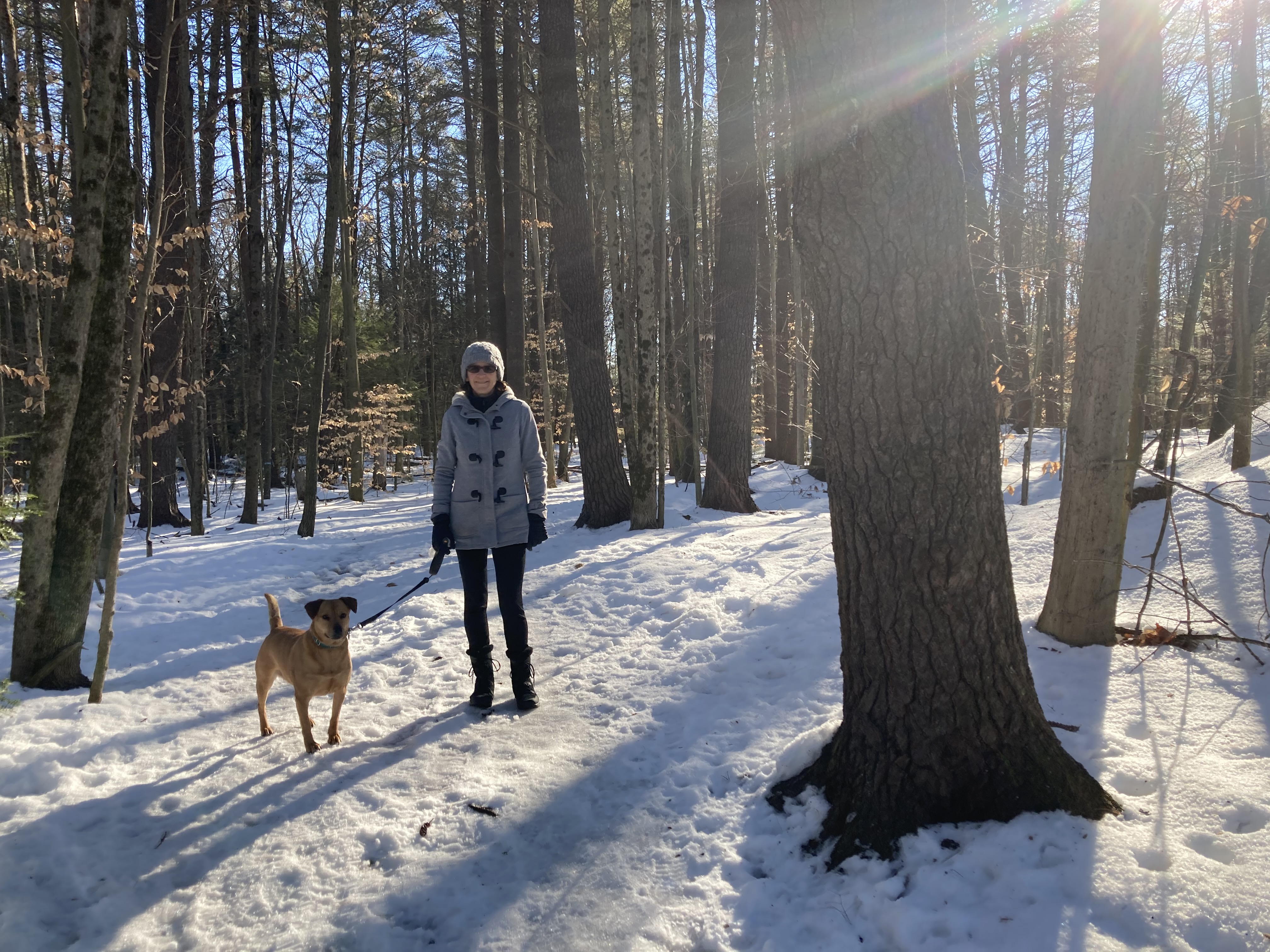
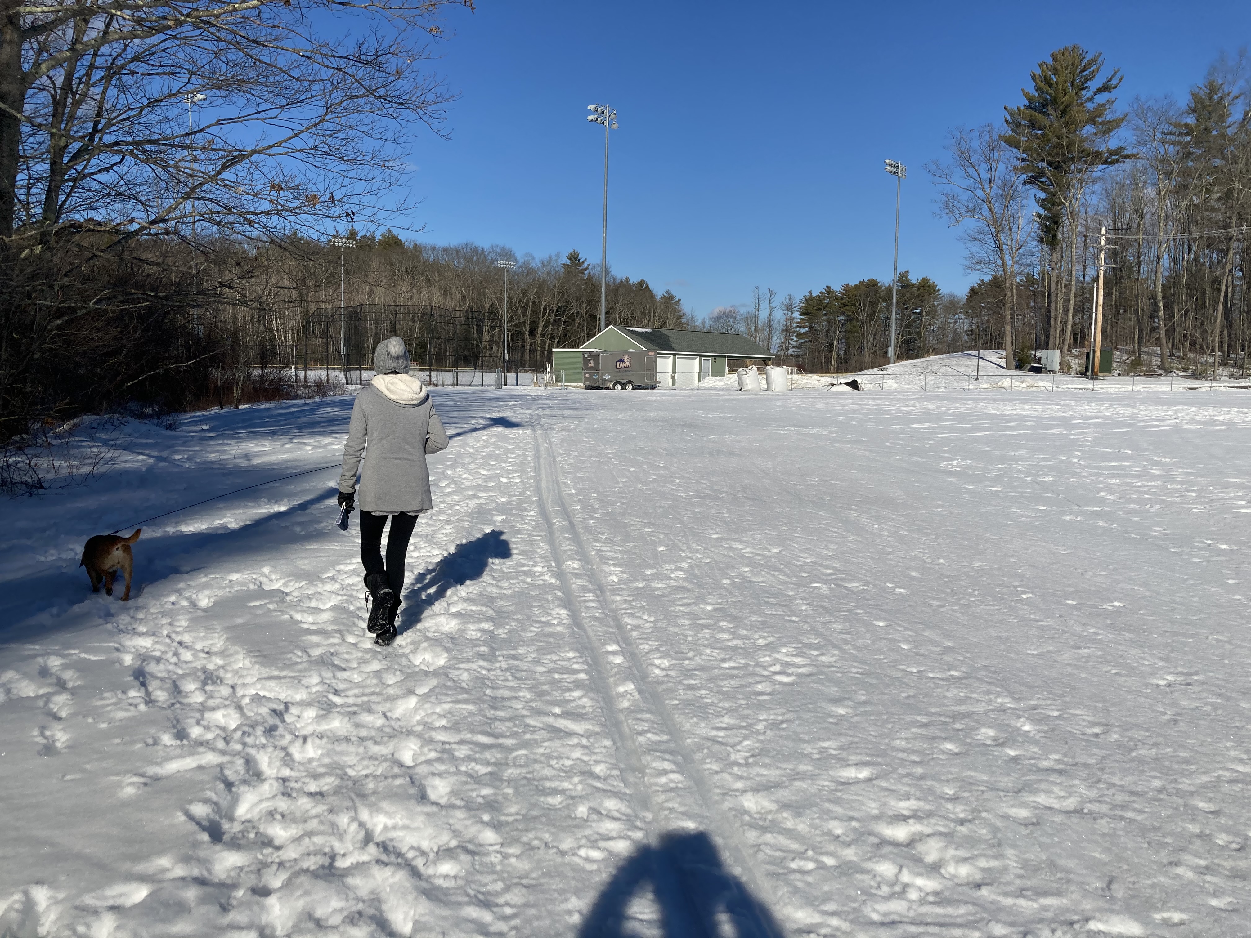
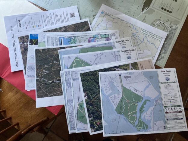
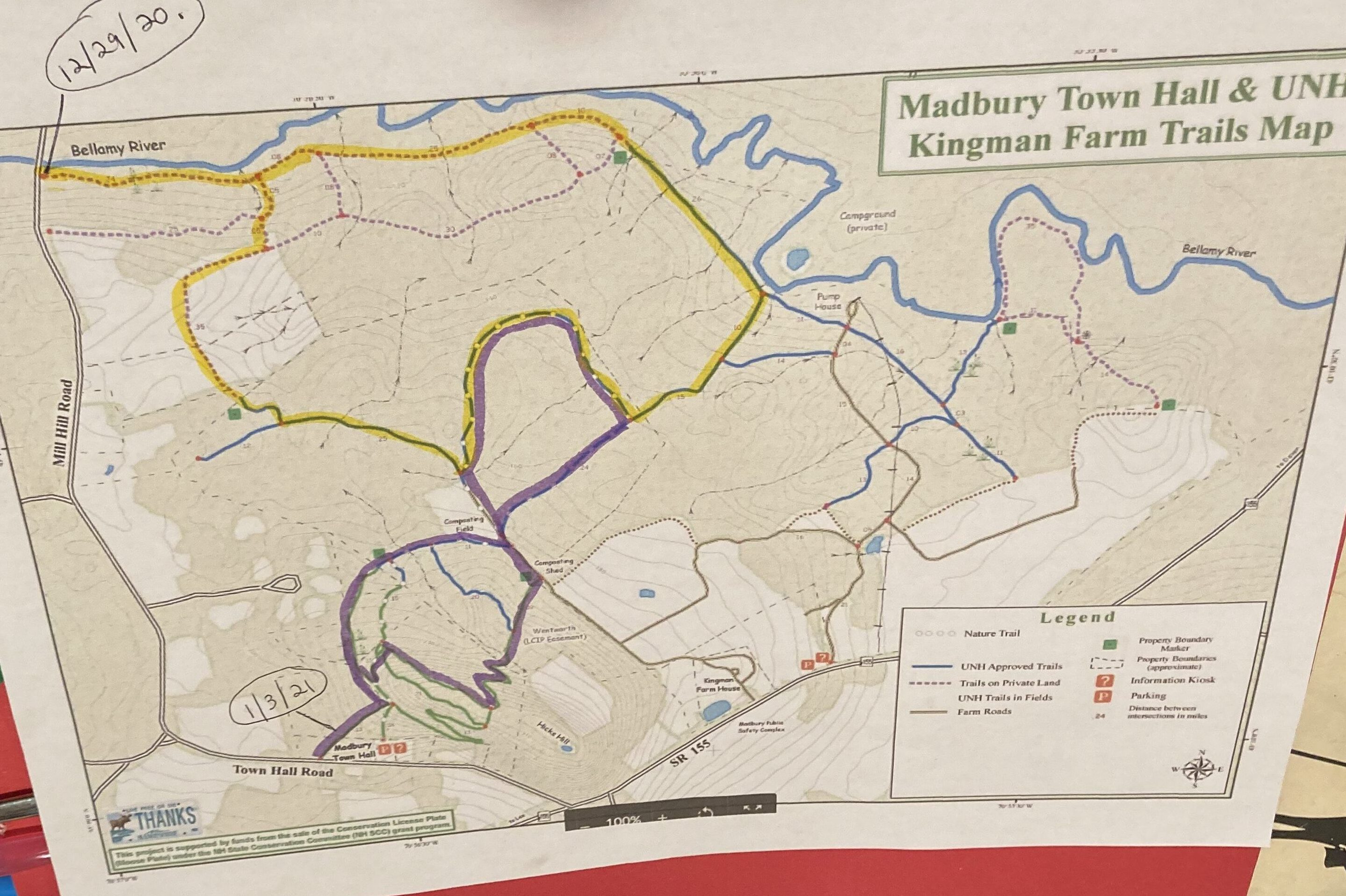
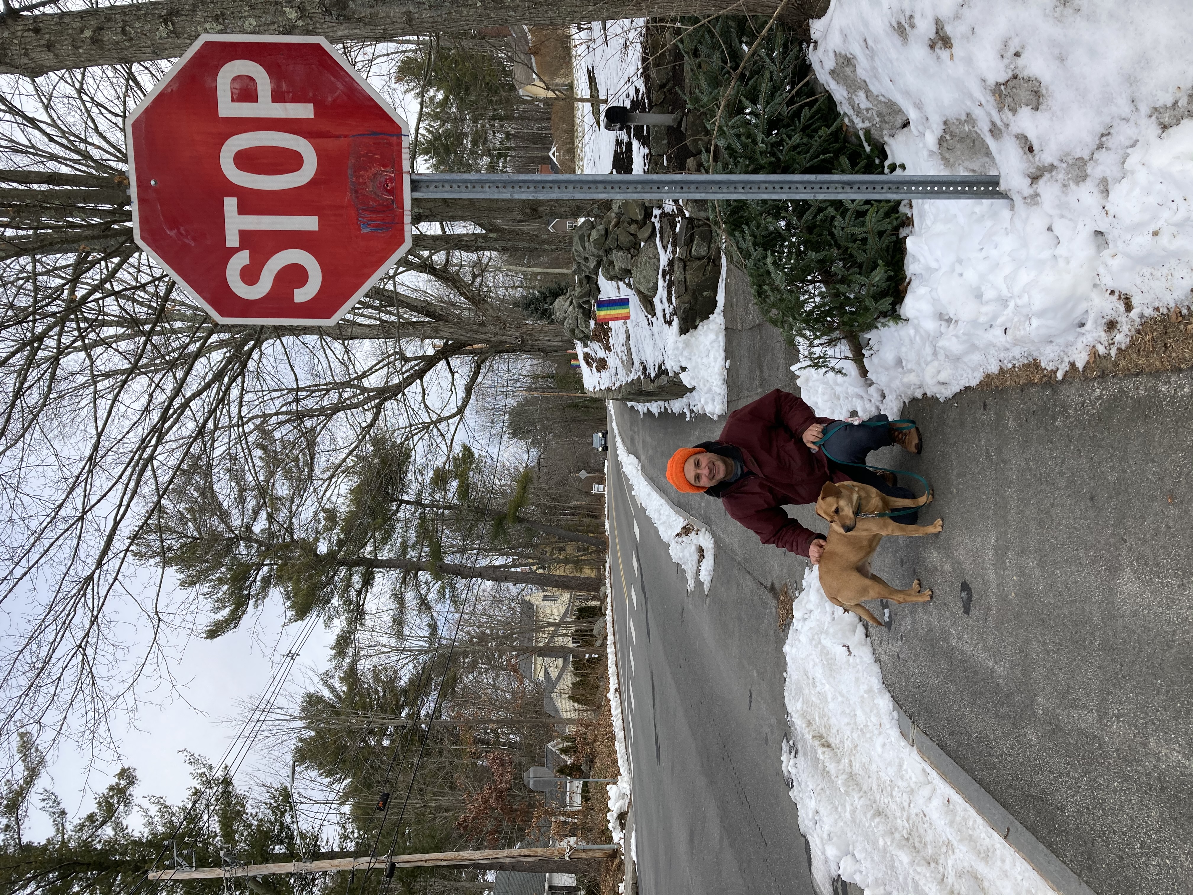
 Traveling isn’t happening so much these days, so we’ve been inspired to seek out adventures closer to home. For Christmas, we draw names and create homemade presents each year — and this year, one of Bob’s gifts to me was a full set of Durham/UNH trail maps. So many miles and miles of trails! The Great Bay, rivers, woods, wetlands, fields — Durham has it all. We are very fortunate to live where we do.
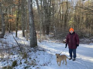
Our goal for 2021 is to walk every one of them. You’d think, having lived here almost 20 years, that we would have done this already, but we get into the habit of going to the same places over and over, and in fact there are several places we’ve never visited at all. With Daisy’s steadfast accompaniment, we feel ready for the task.
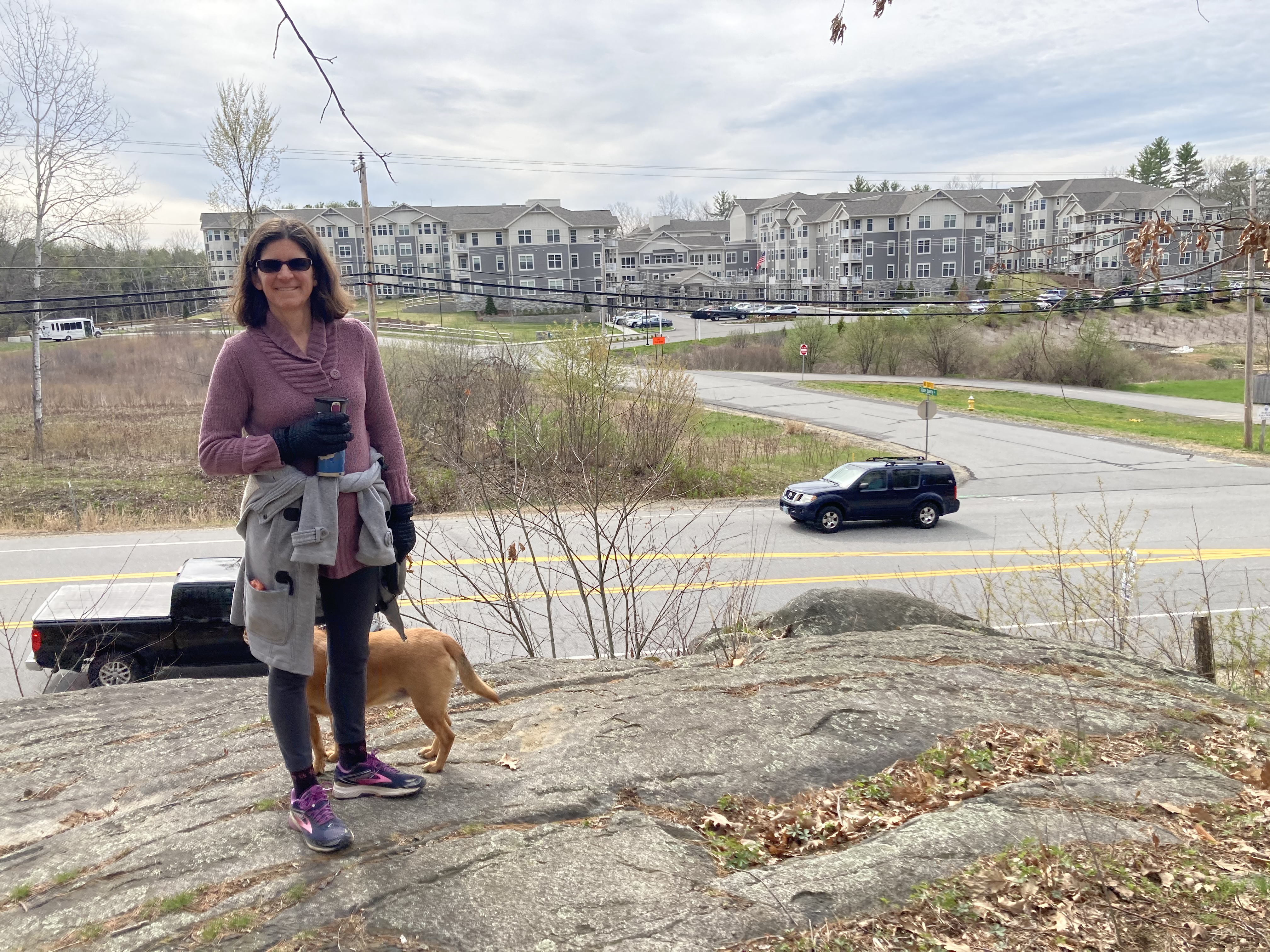
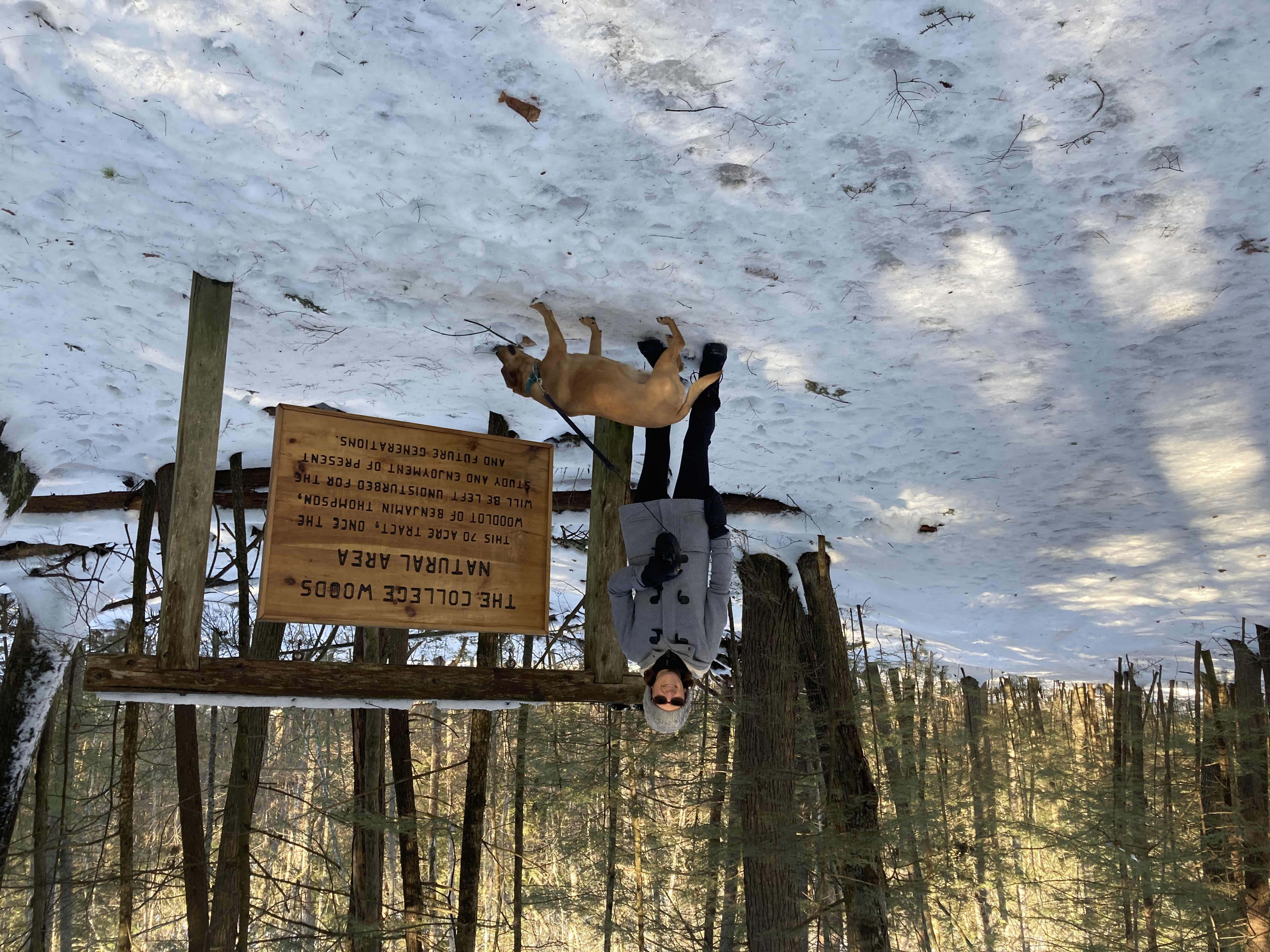
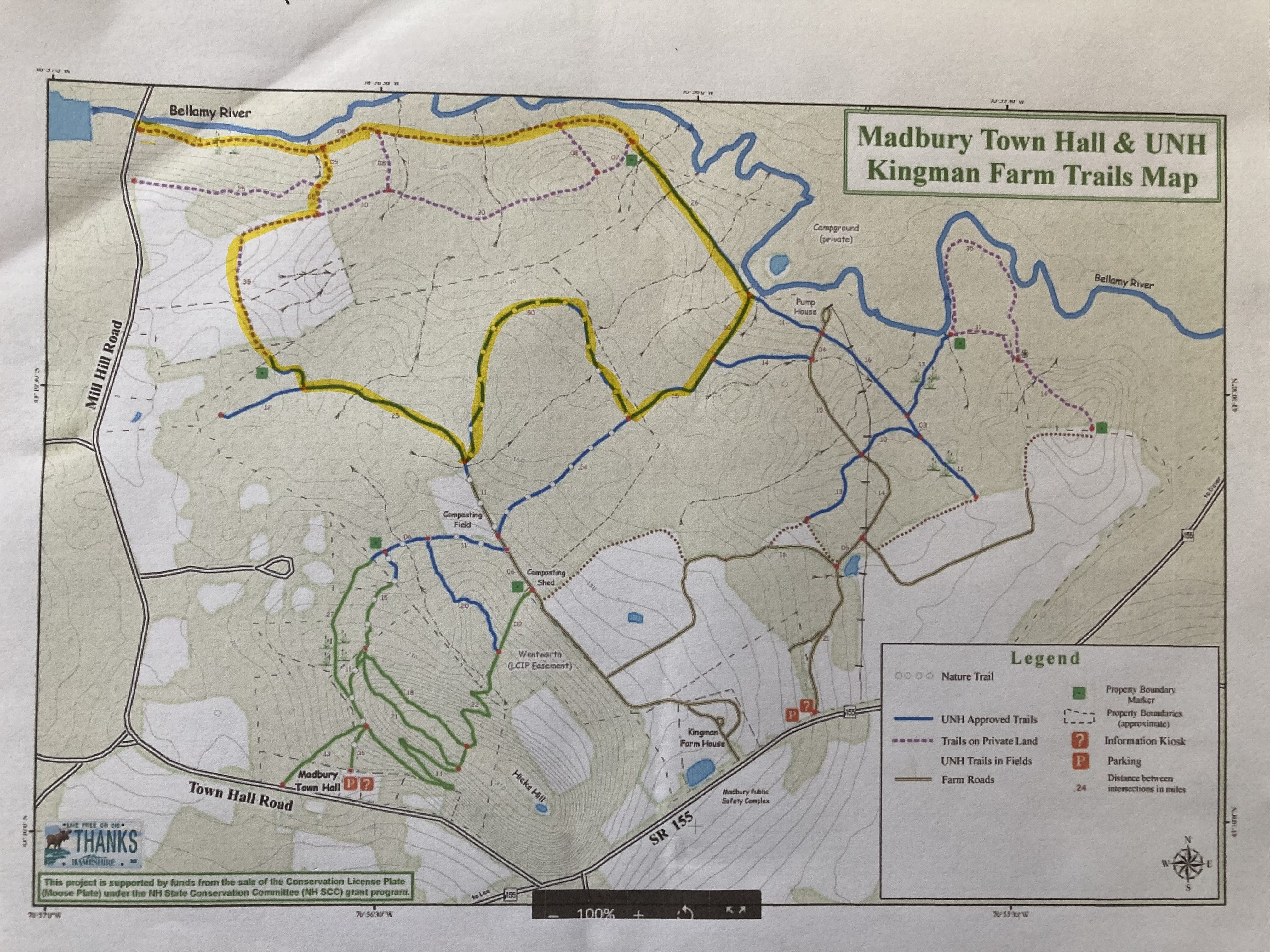
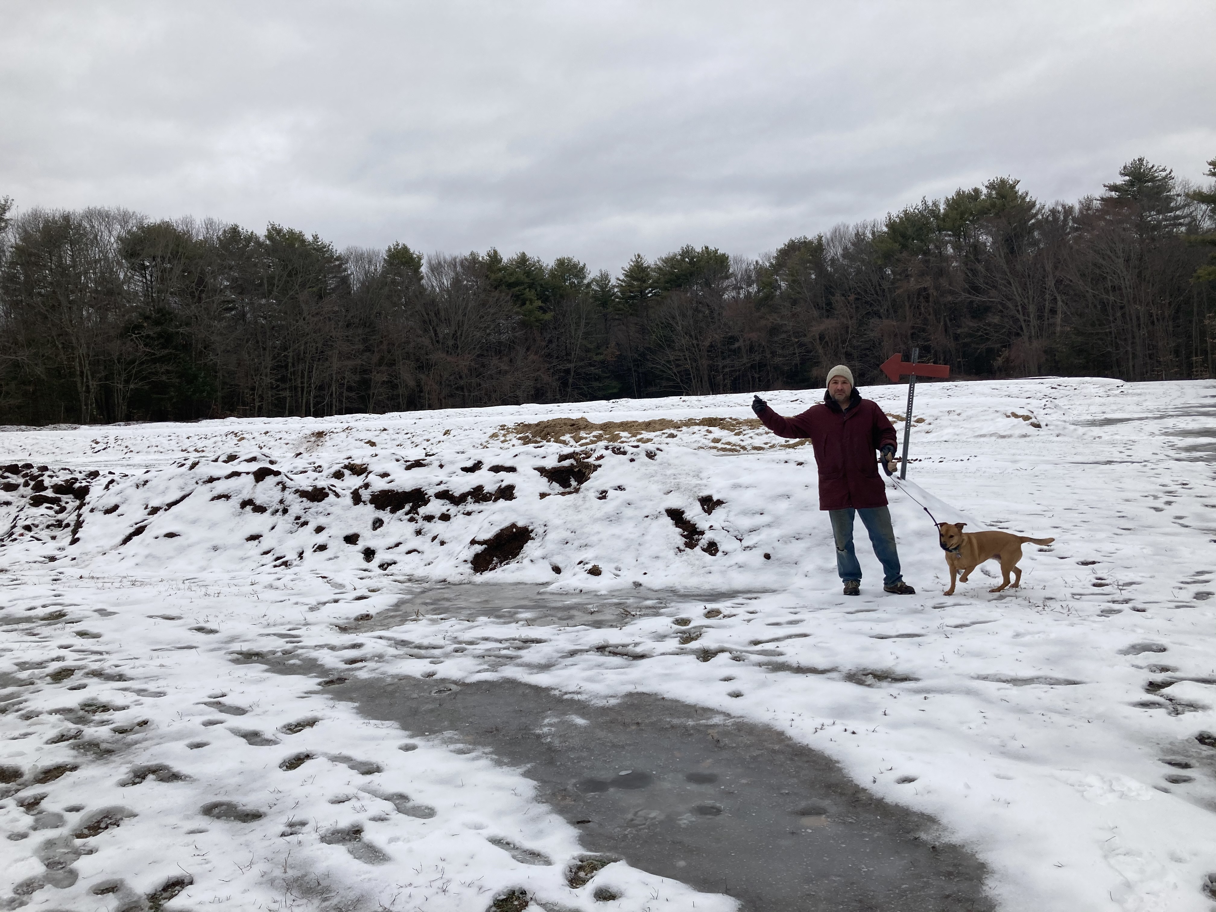
December 29, 2020 – Kingman Farm
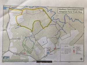
OK, we cheated a bit and got a slight head start in 2020. Also, this one is technically in Madbury, but it’s UNH land so we’re still counting it.
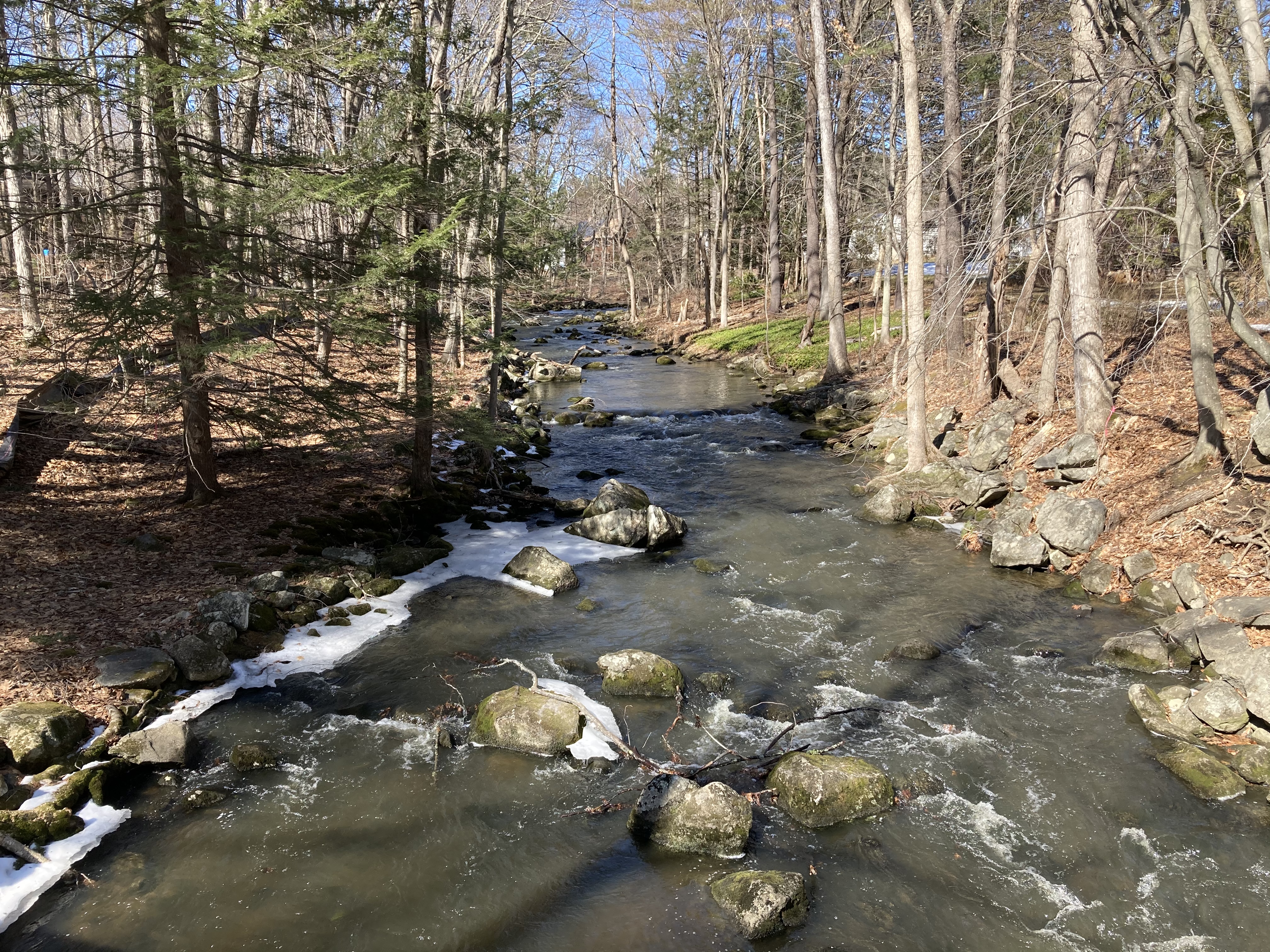
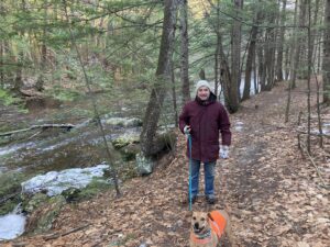 We started in the northern section, where we’ve never really visited. Much of our route wound along the Bellamy River, before eventually looping inland. We navigated the marked trails quite capabably — until we didn’t. Somewhere between turning right at the compost field (we saved that attraction for another hike) and rejoining the river-side loop, the trail disappeard.
The terrain of the map just did not match the terrain of the trail. There was some bushwacking, unfortunately; but nobody panicked. We soon found our way back to the river and completed the journey more or less like we intended.
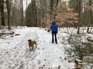
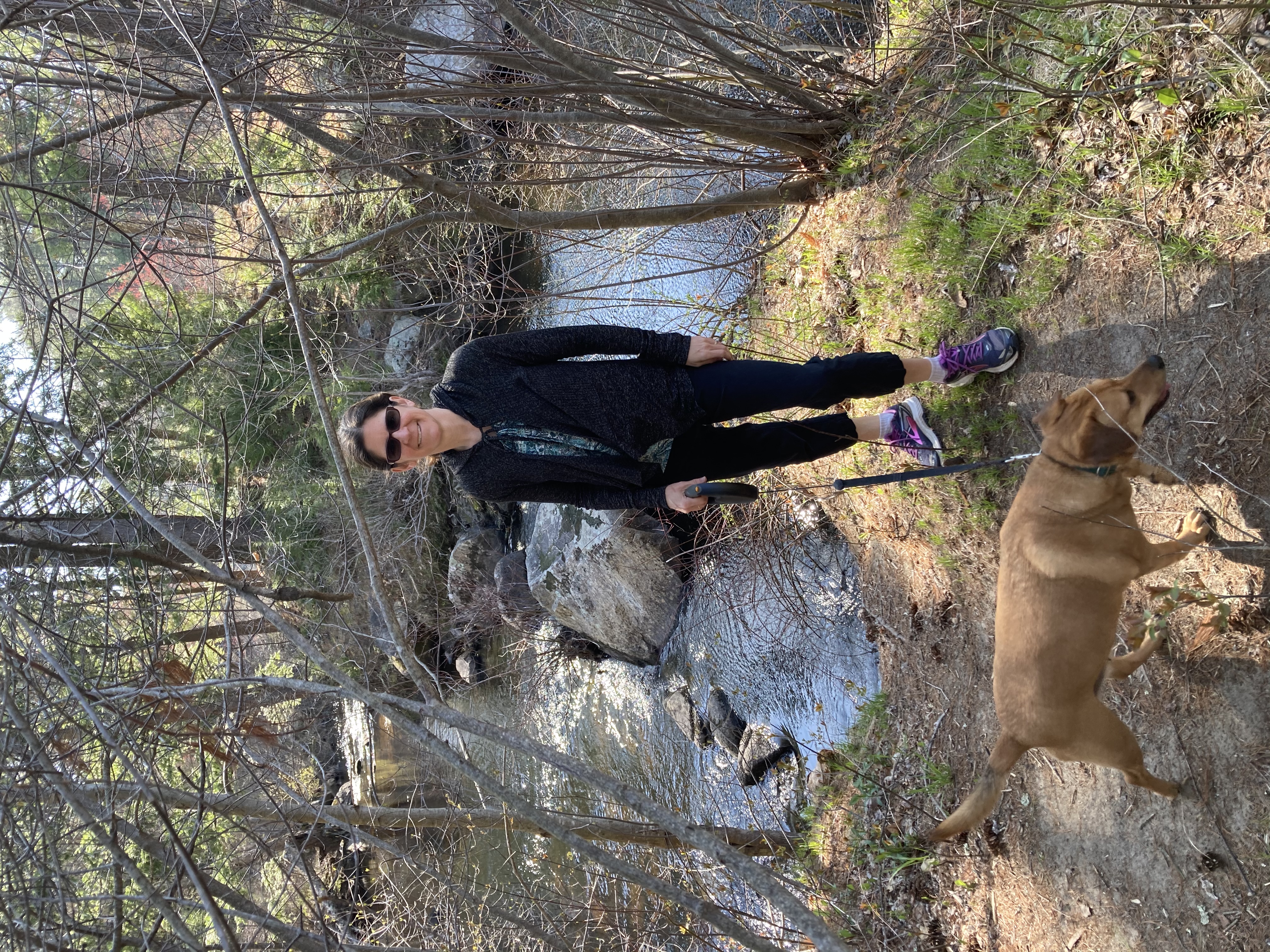
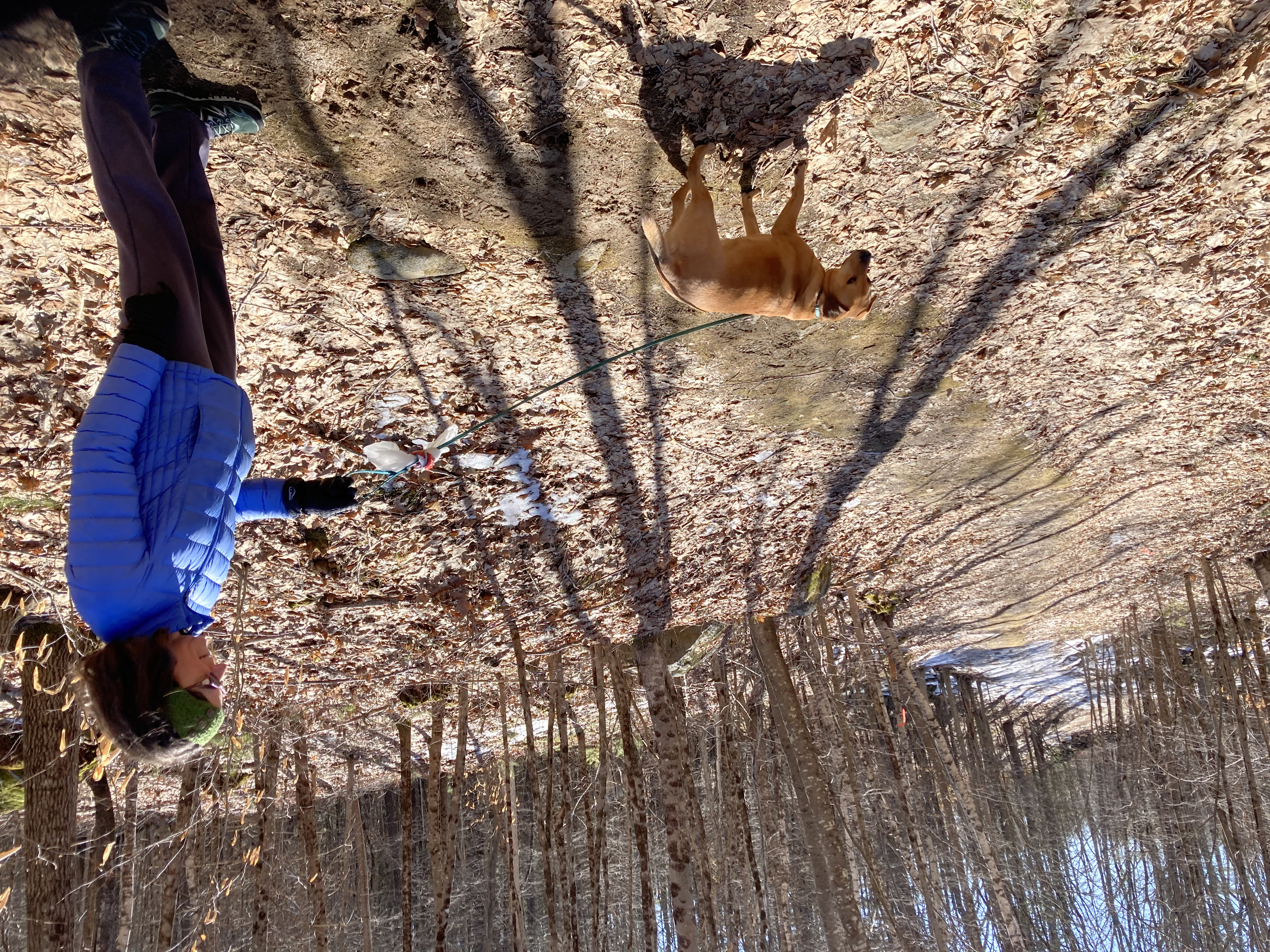
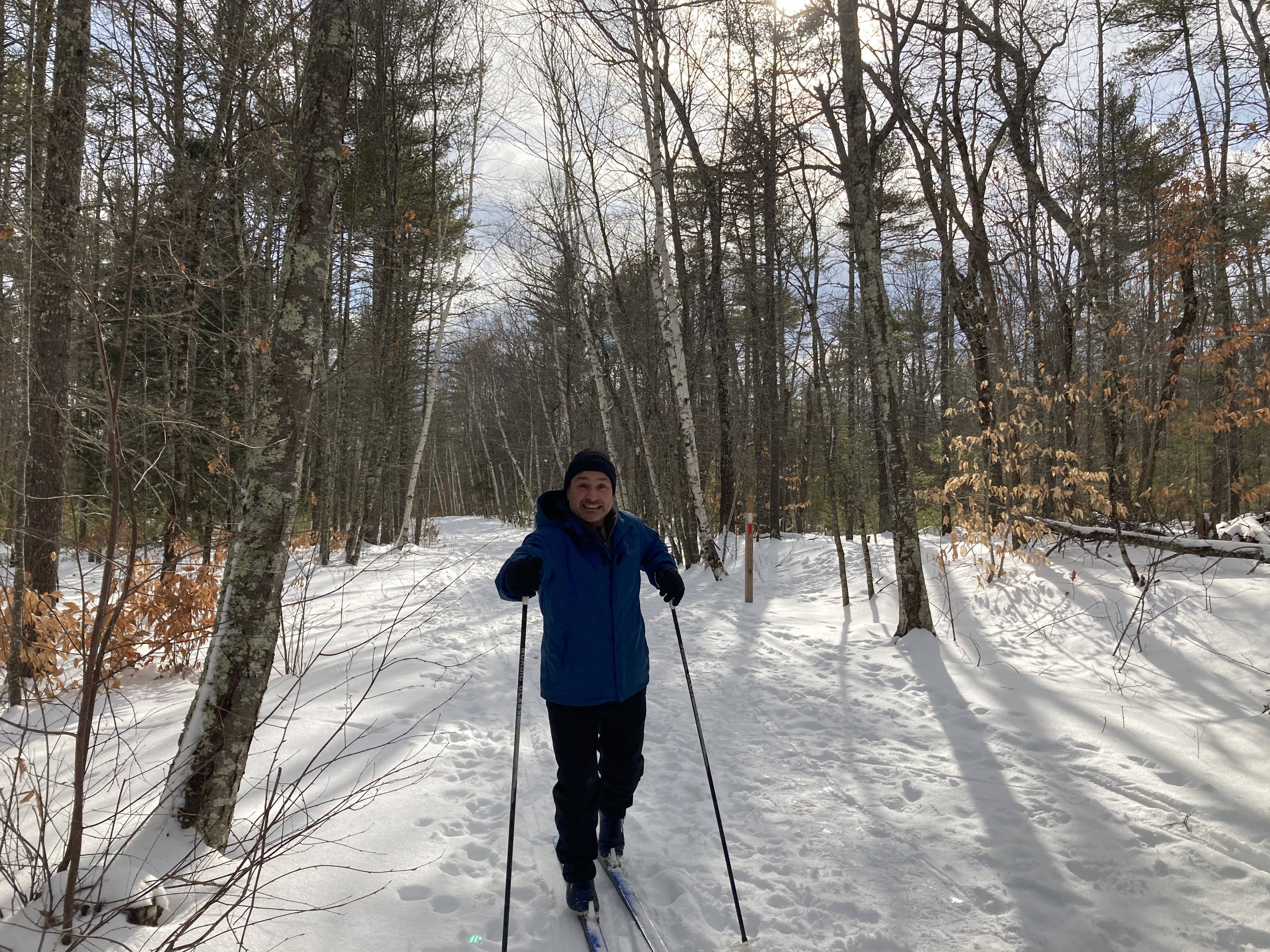
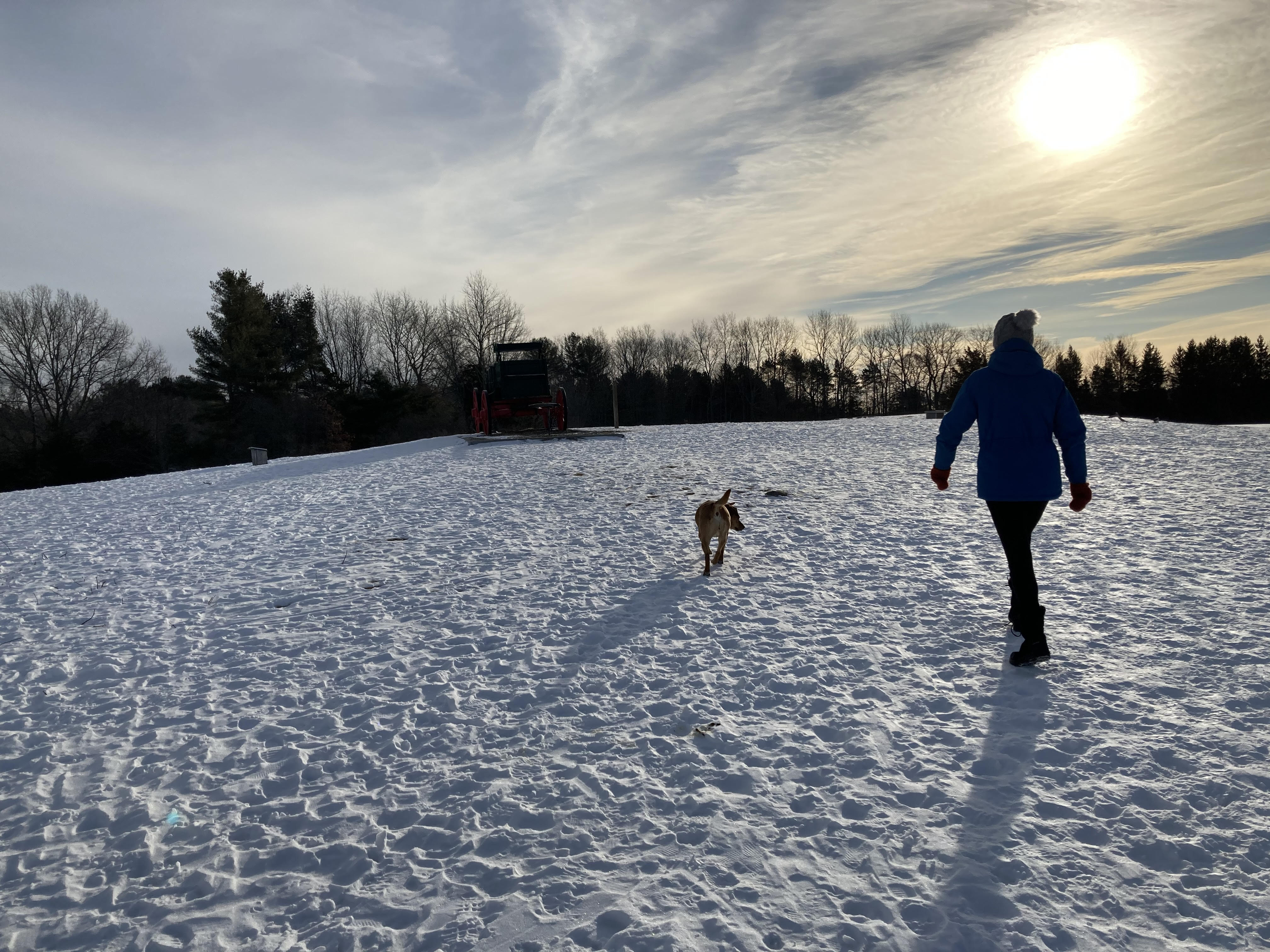
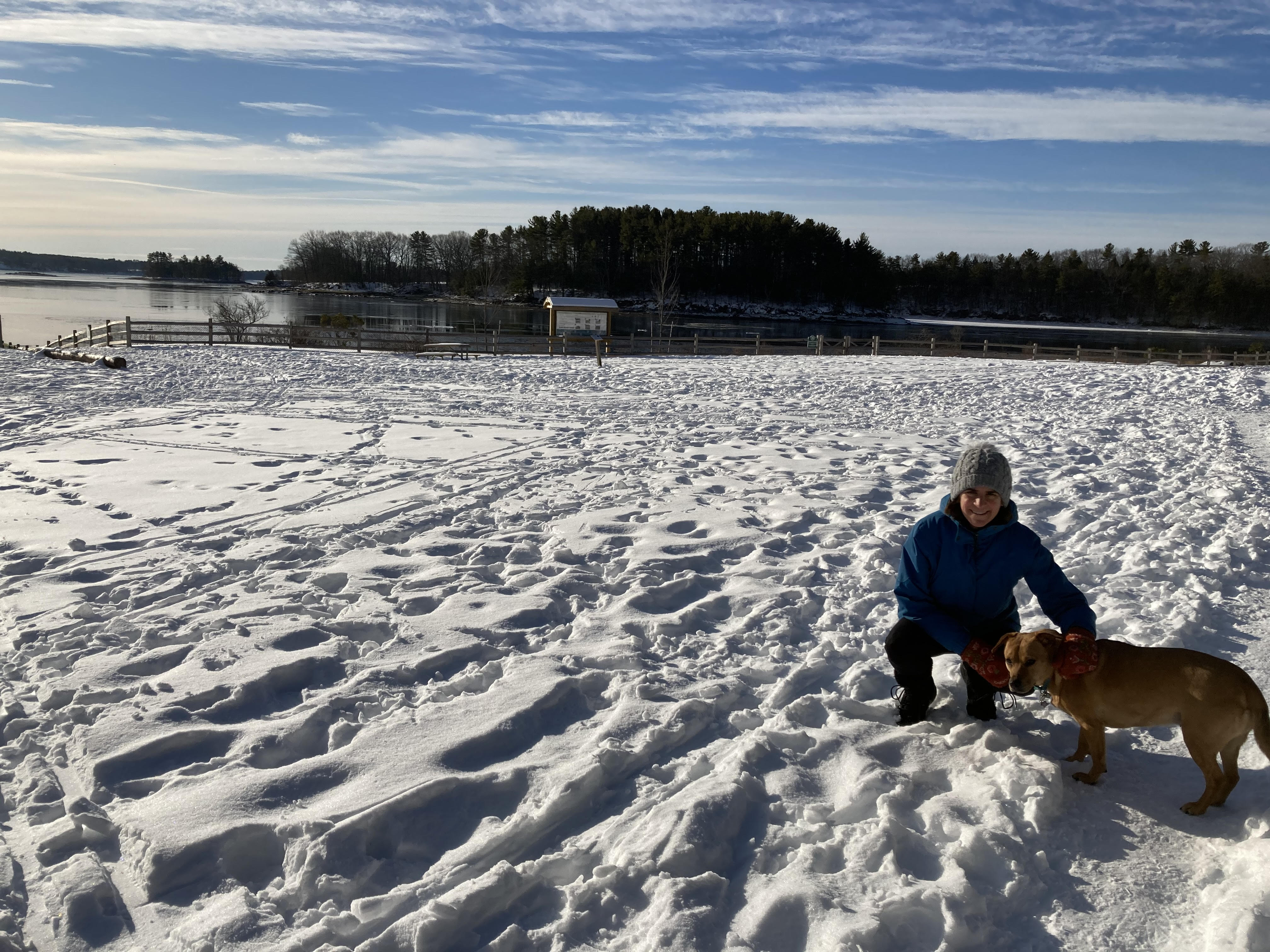
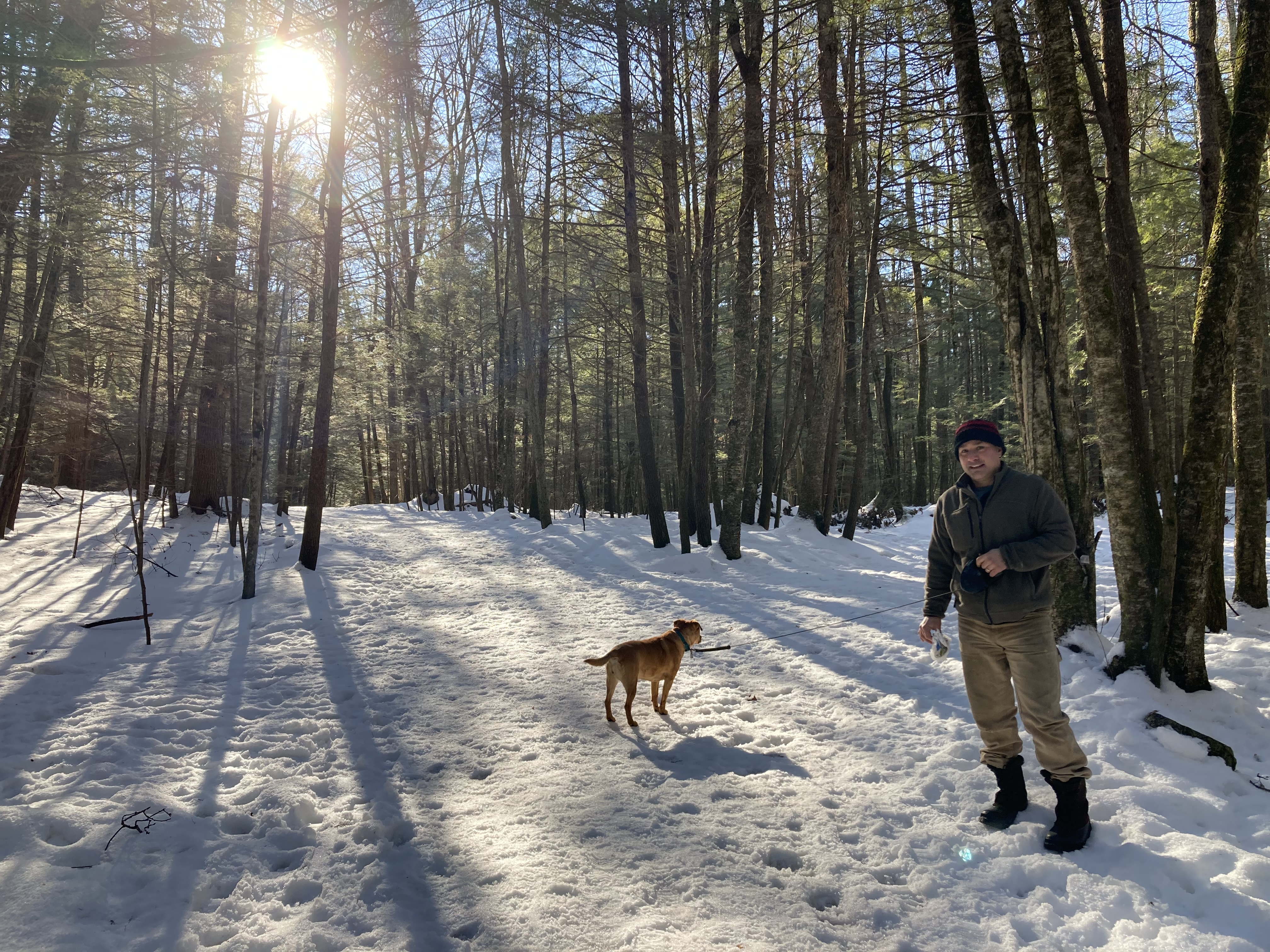
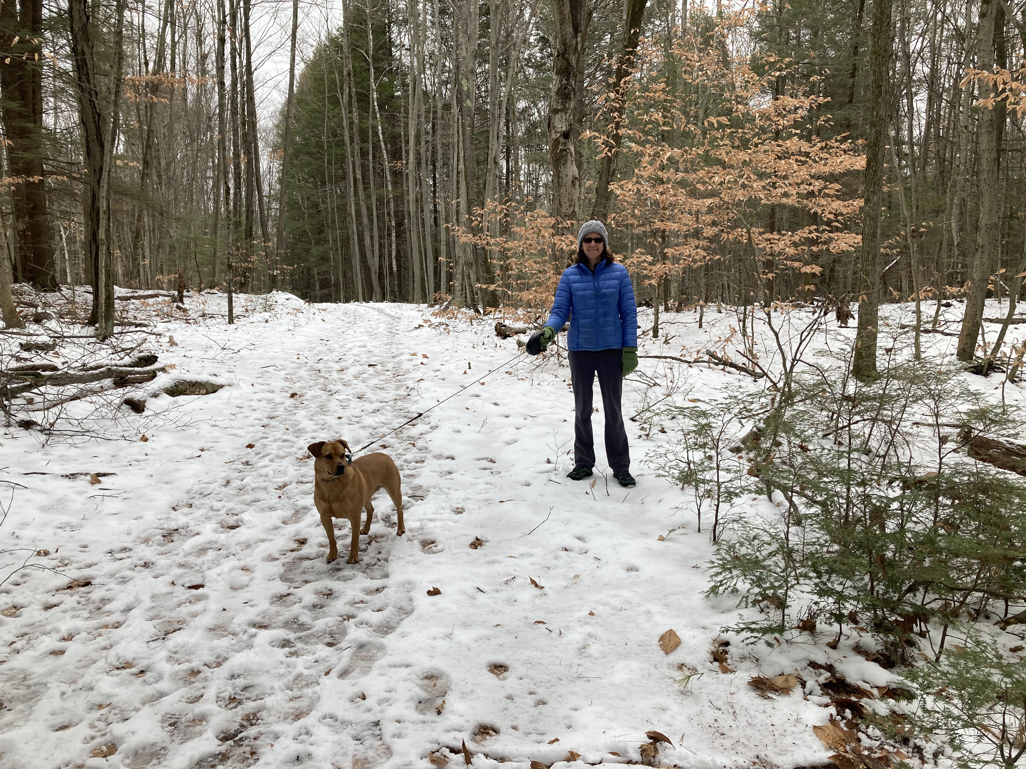
January 3, 2021, More of Kingman Farm
This time we approached the Kingman Farm from the Hicks Hill trail head behind Madbury Town Hall. It was less than a week after our first hike, and we were less than two miles away from the Bellamy River trail head, but things were very different this time around. Because we had several inches of snow over New Year’s, the mood now was definitely more wintery.

The arrow points to compost.
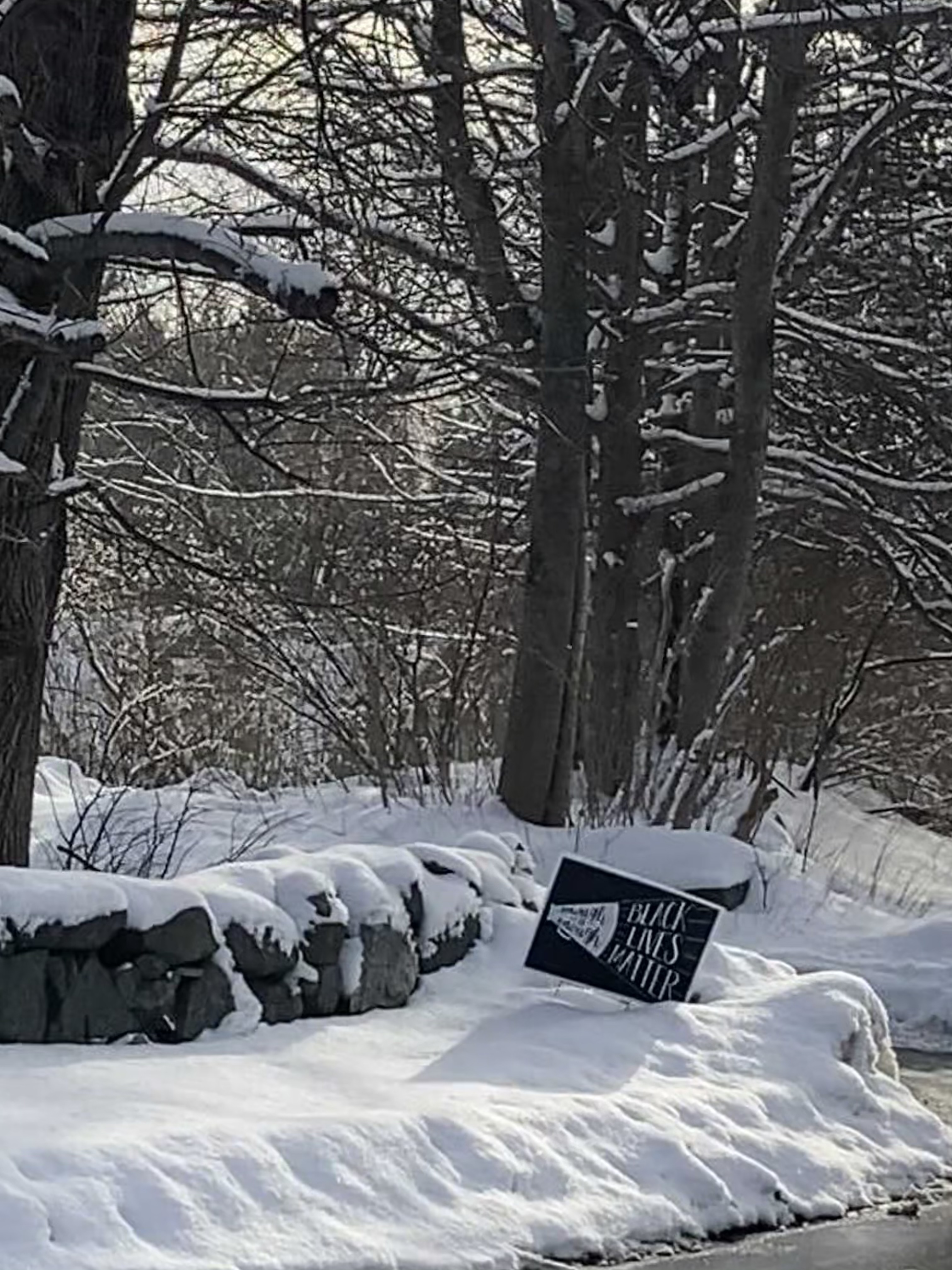
Today’s hike would take us to the highly anticipated Compost Field marked on the map (composting is one of my favorite pastimes), but it would also take us to the top of Hicks Hill, also known as Chief Moharimet’s Hill. Could we make it up the snowy hill without microspikes? We would just have to give it a try and find out.
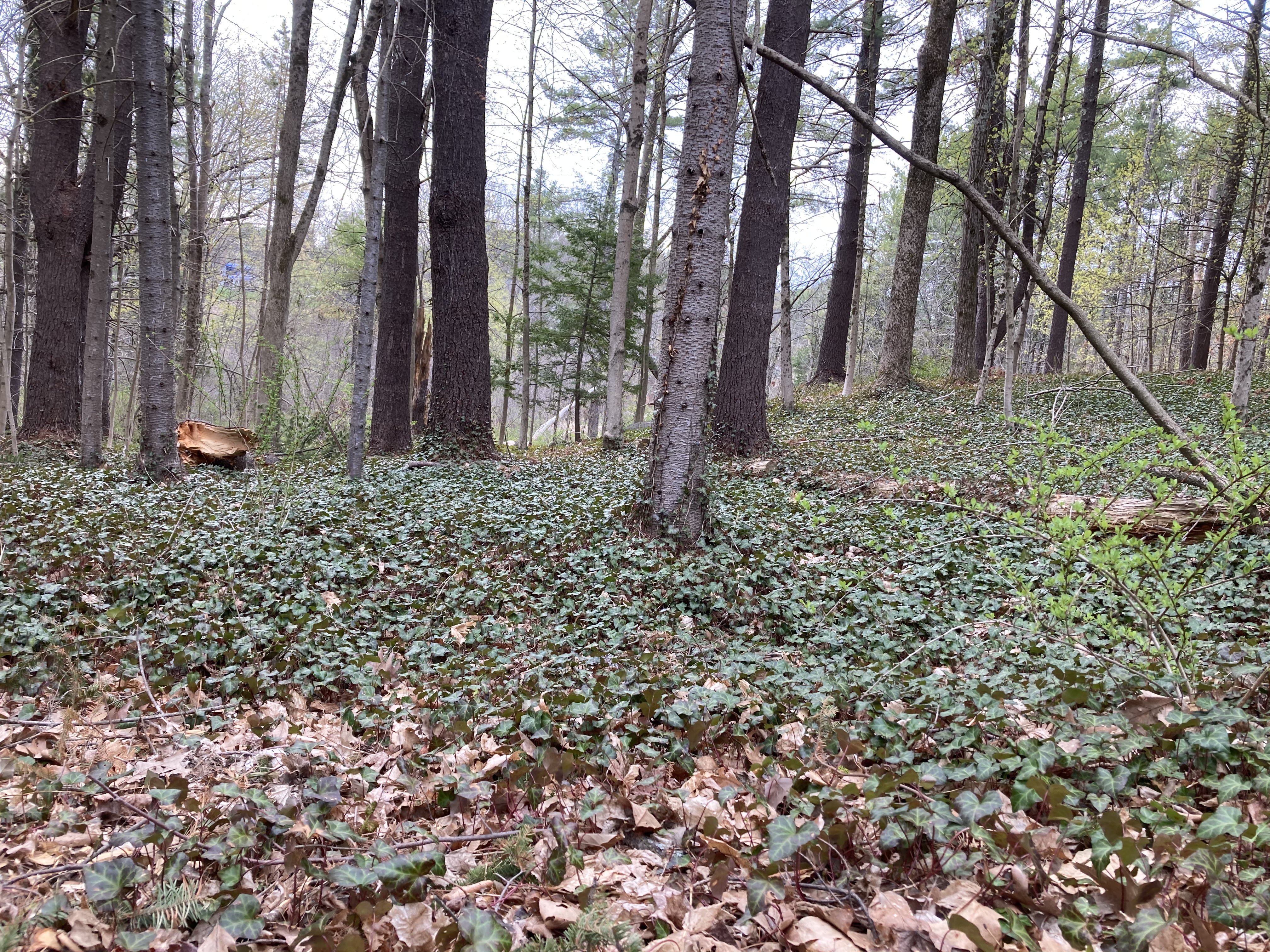
But we made sure to visit the Composting Field first just in case an avalanche or something prematurely ended our lives. If we never made it out of the woods, at least we would have seen the Composting Field. And, wouldn’t you know, the place did not disappoint. It was a two- or three-acre clearing with a half dozen 100-yard-long berms of some sort of material, just sitting there, rotting wonderfully. It was difficult to tell what was actually composting because of the snow. Kingman Farm is associated with the university, so it was probably food scraps from dining halls, and maybe the hay-strewn by-products of the horse and cow barns. Really cool stuff. We didn’t dig around because we didn’t want to disturb the composting.
 There were several other people in the clearing with us, including a few other dog walkers and two or three trail runners. The latter group were really taking their chances on this day. The Composting Field — possibly because of the slightly raised temperatures emanating from the biological processes taking place — seems to have melted and re-frozen several times. The walking paths were covered in many places by two inches of slick ice. It was tough to walk on; running was out of the question for us. Plus, who wants to hurry through a compost field?
We finally tore ourselves away and wandered through a more traditional wooded setting. There was a slight rise for a while as we curved around back toward the Madbury Town Hall. Then, the land dropped away and rose again on the other side of a hidden valley. We had the option of a straight-up path, but we chose the switchback trail because of the snow, and we made it up the far side of the valley quite comfortably. It was not nearly as icy here as it was on the Composting Field, thankfully.

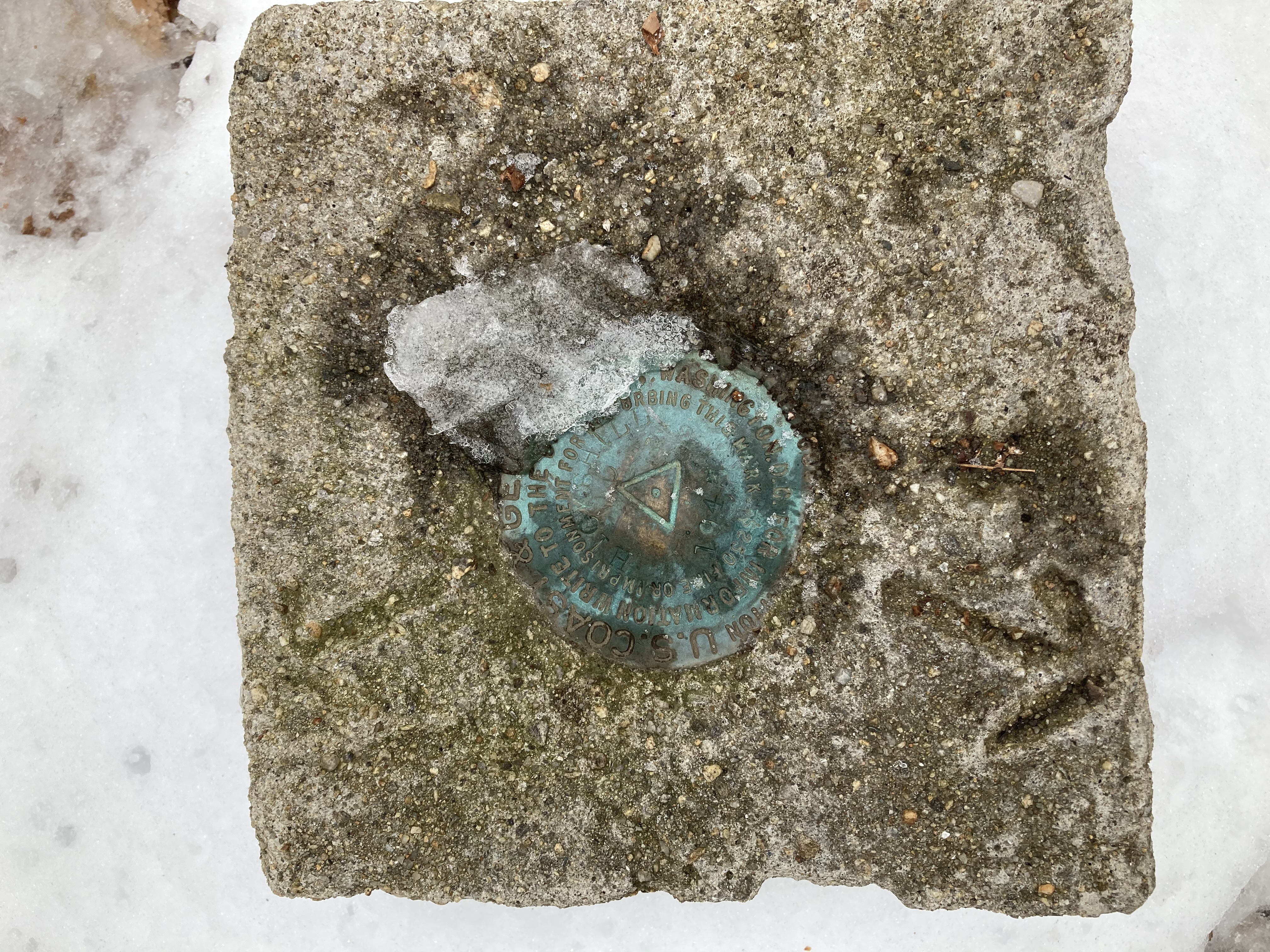
Atop Hicks Hill
The top of the hill, which we had seen behind the town hall many times — and maybe even climbed once — boasted some benches and a geological marker, though not much in the way of views. Nevertheless, it was pretty, young-growth forest and well maintained trails that were forgiving as we climbed down the far side and finished our loop.
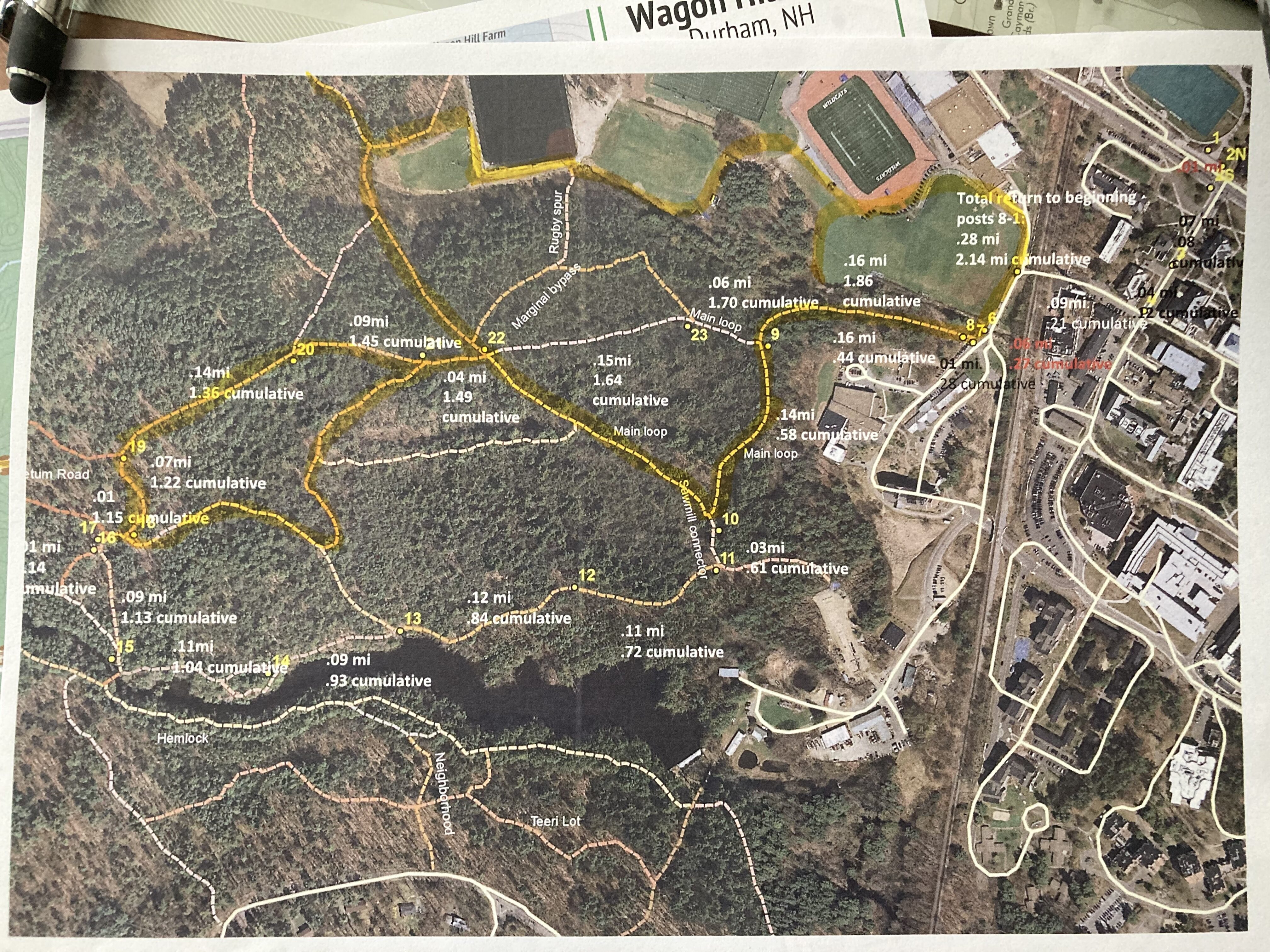
We returned to our car having traveled most of the trails on this side of the Kingman Farm property, but the map shows there still are several miles of trails on the other side of the farm. The tricky thing might be finding out how to access those trails. There used to be parking spaces on route 155, but that seems to have been shut down at the same time that a large fence was erected around the working part of the farm. We may have to re-trace some of our steps to get to the unexplored parts.

Today’s hike in purple
Before we decide on that, though, we might step away from Kingman Farm and see what trails the other preserves and conservation have to offer. There are more than 40 miles of trails left, after all.
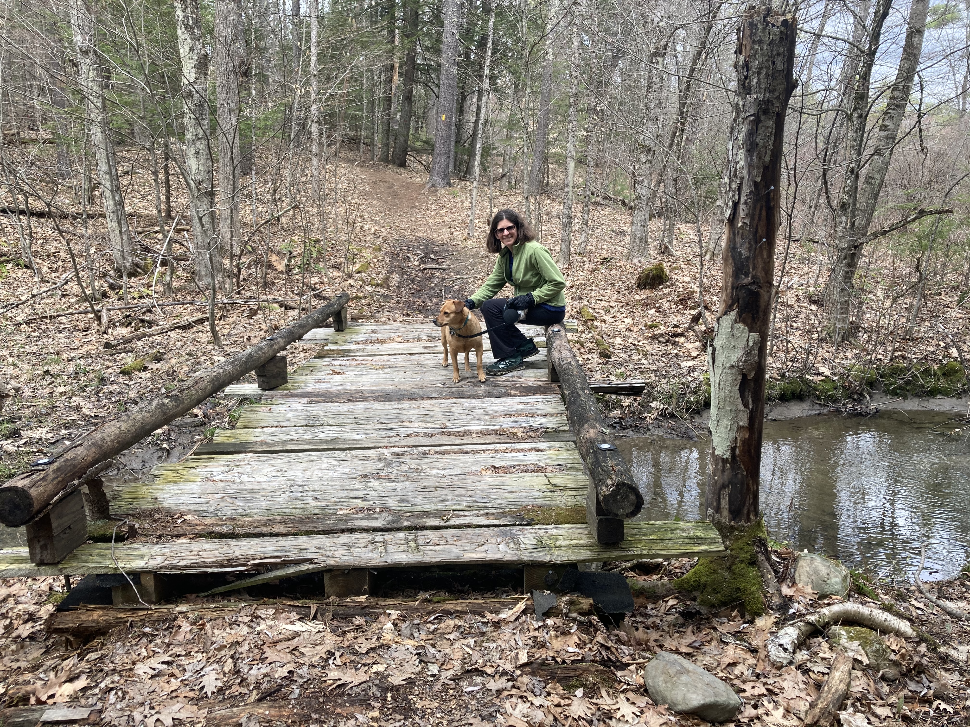
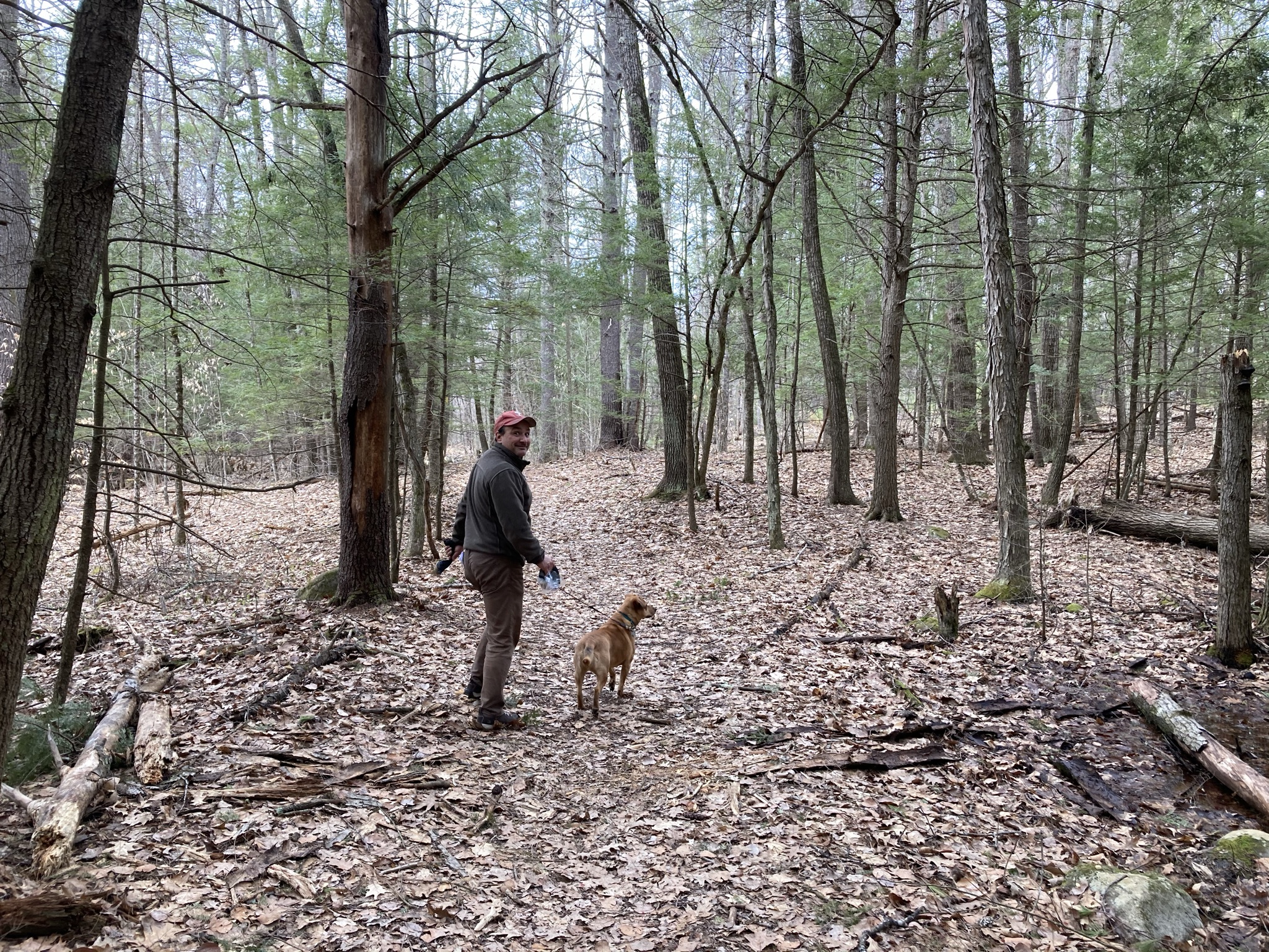
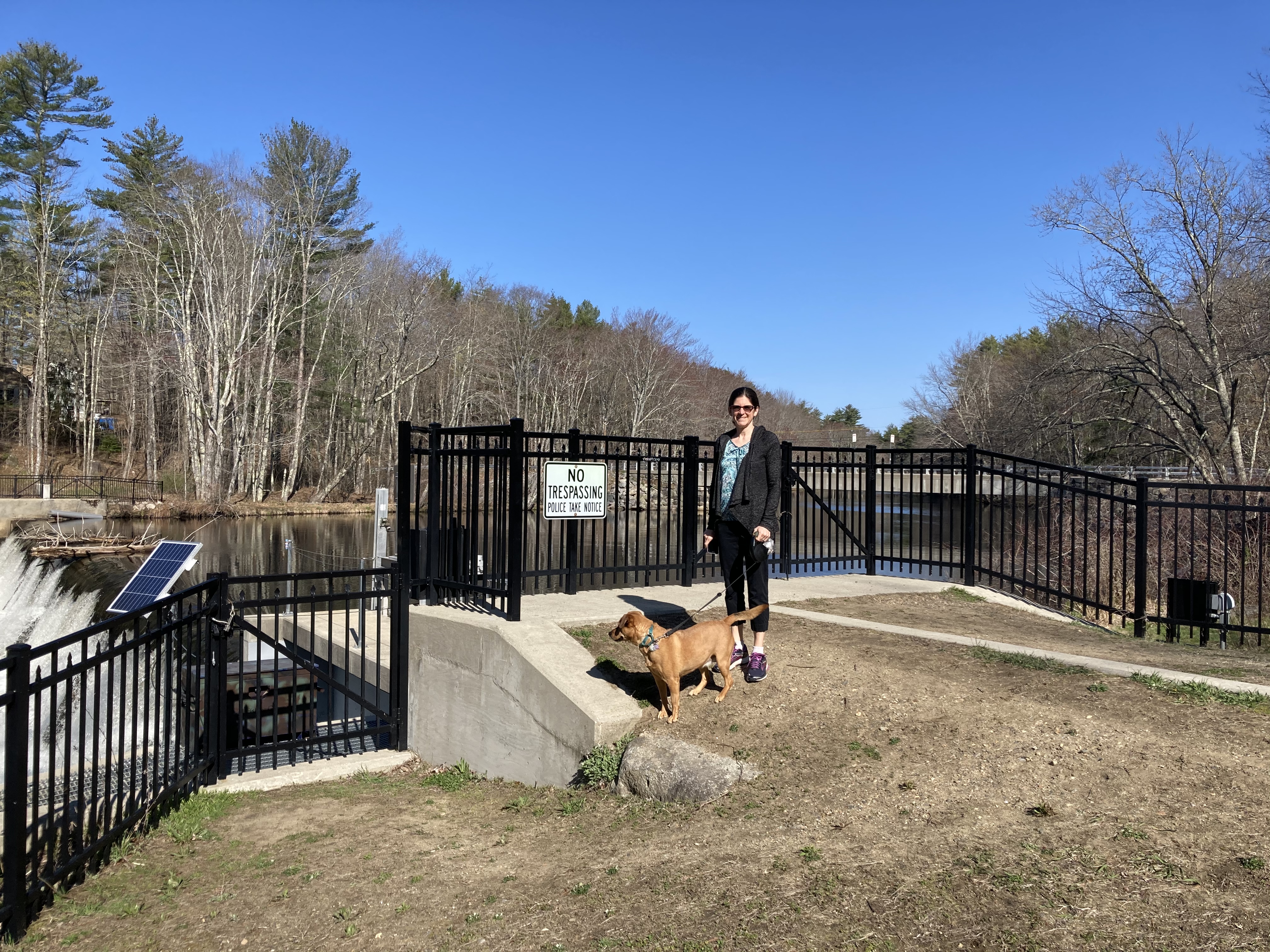
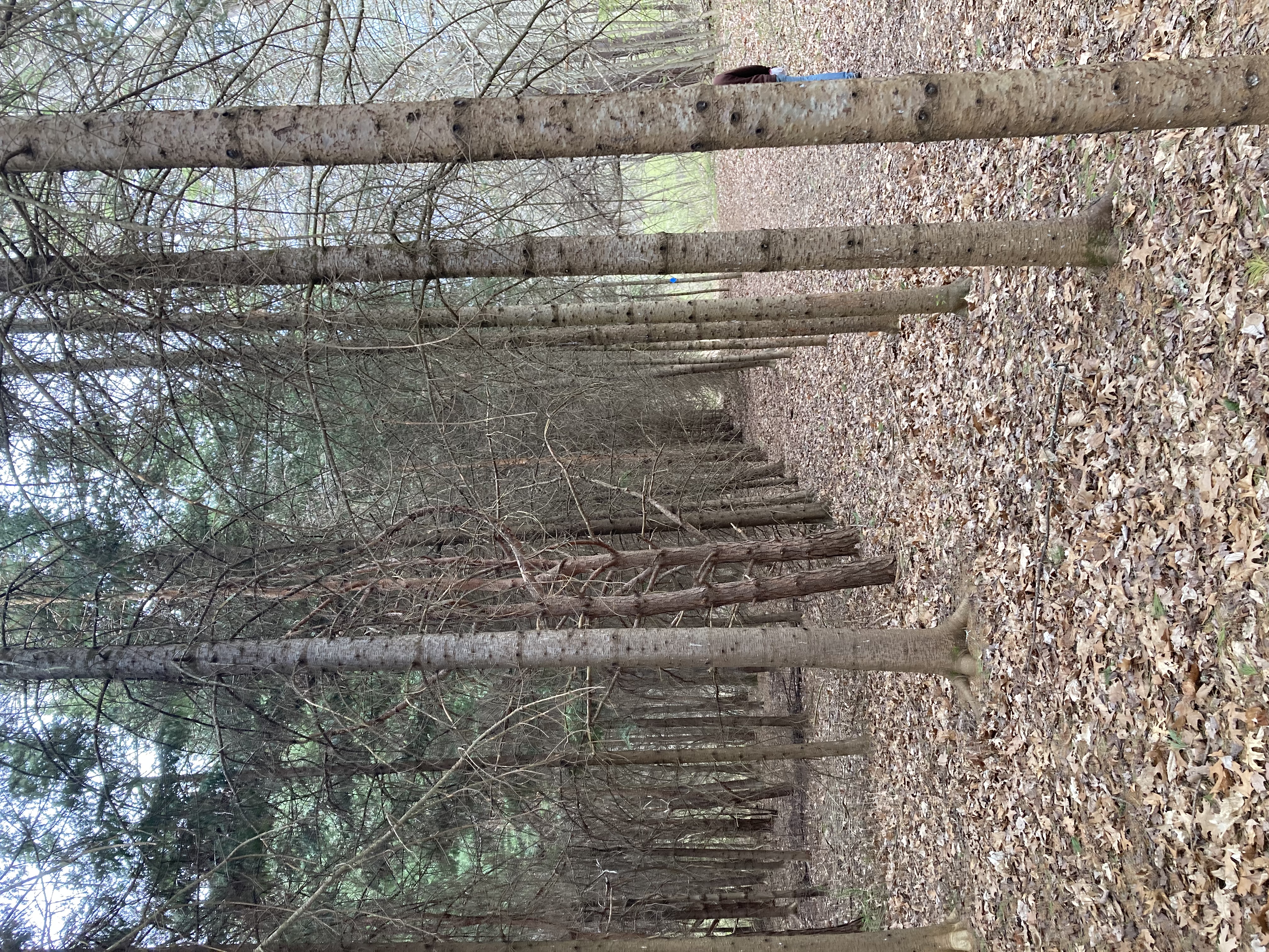
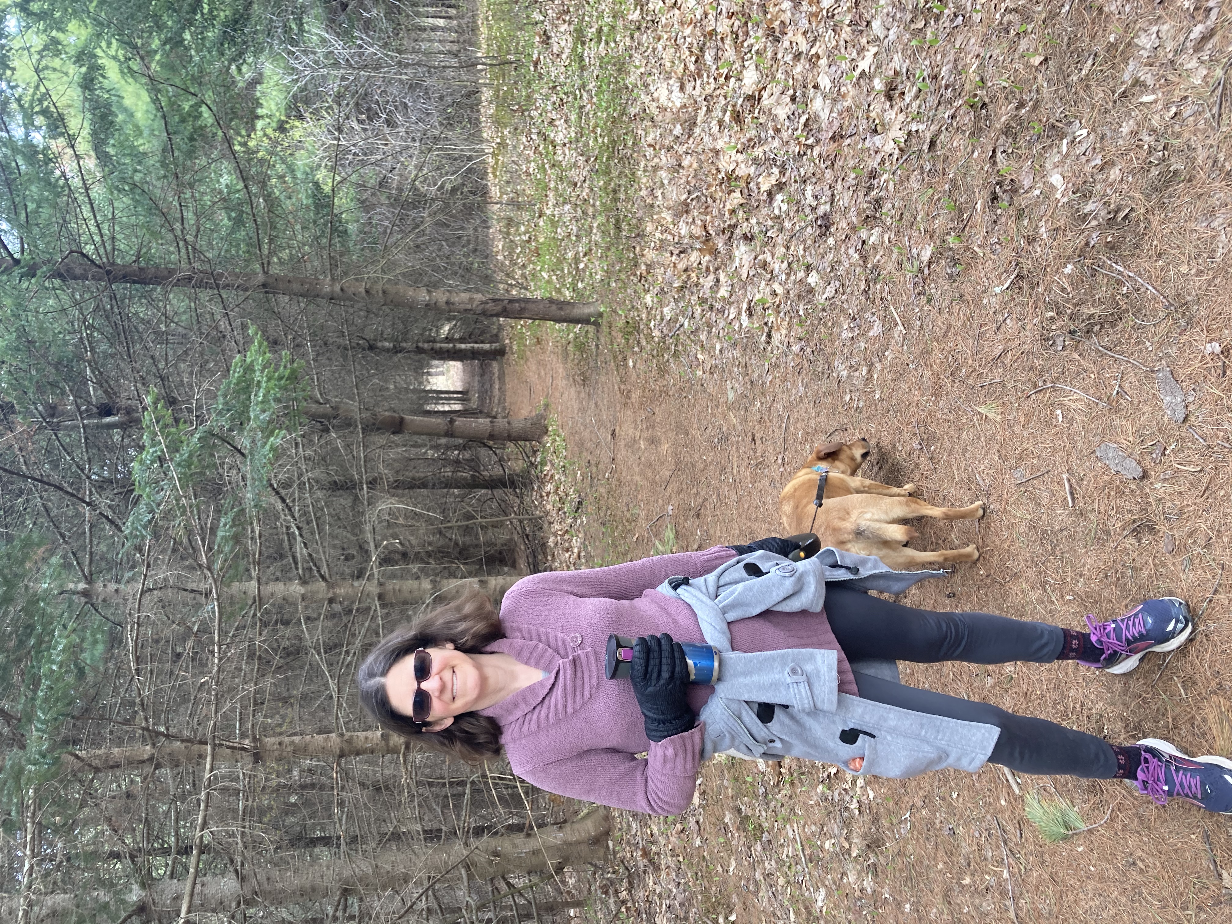
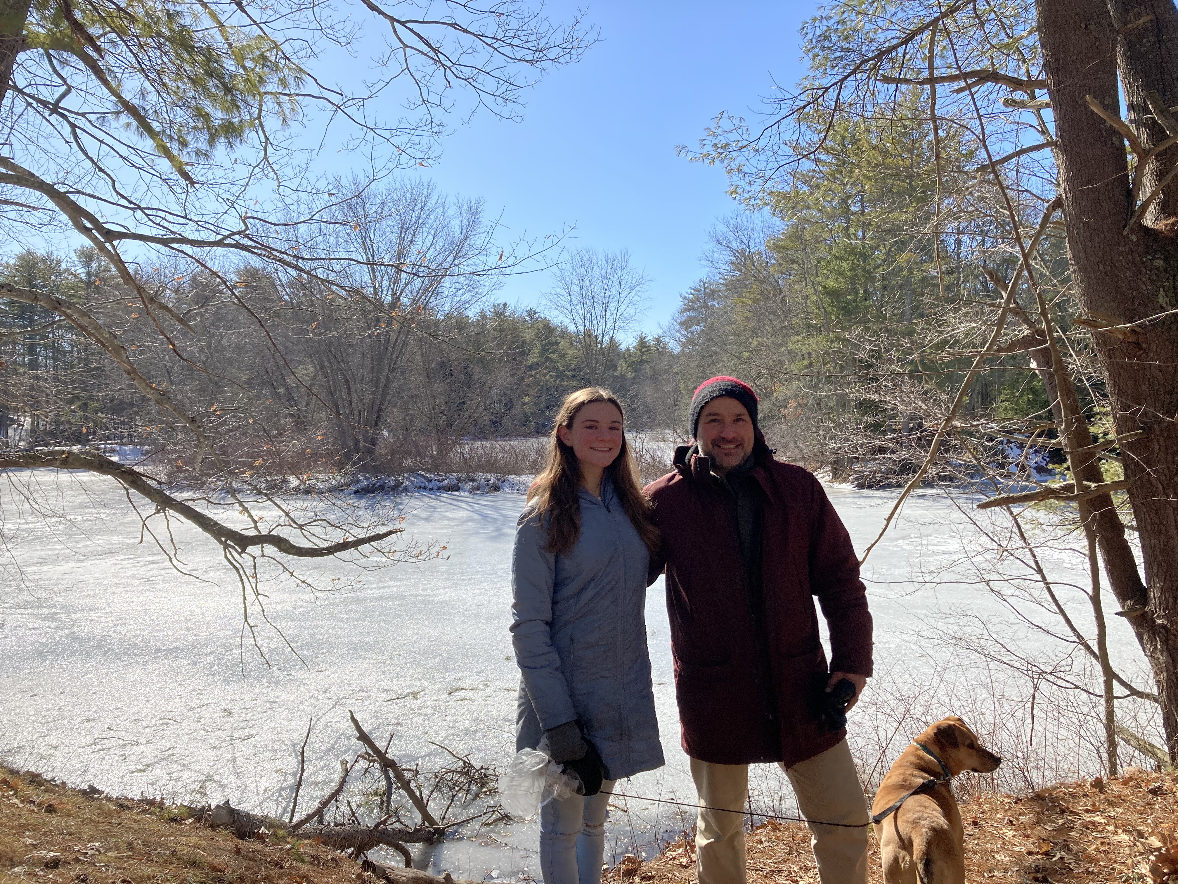
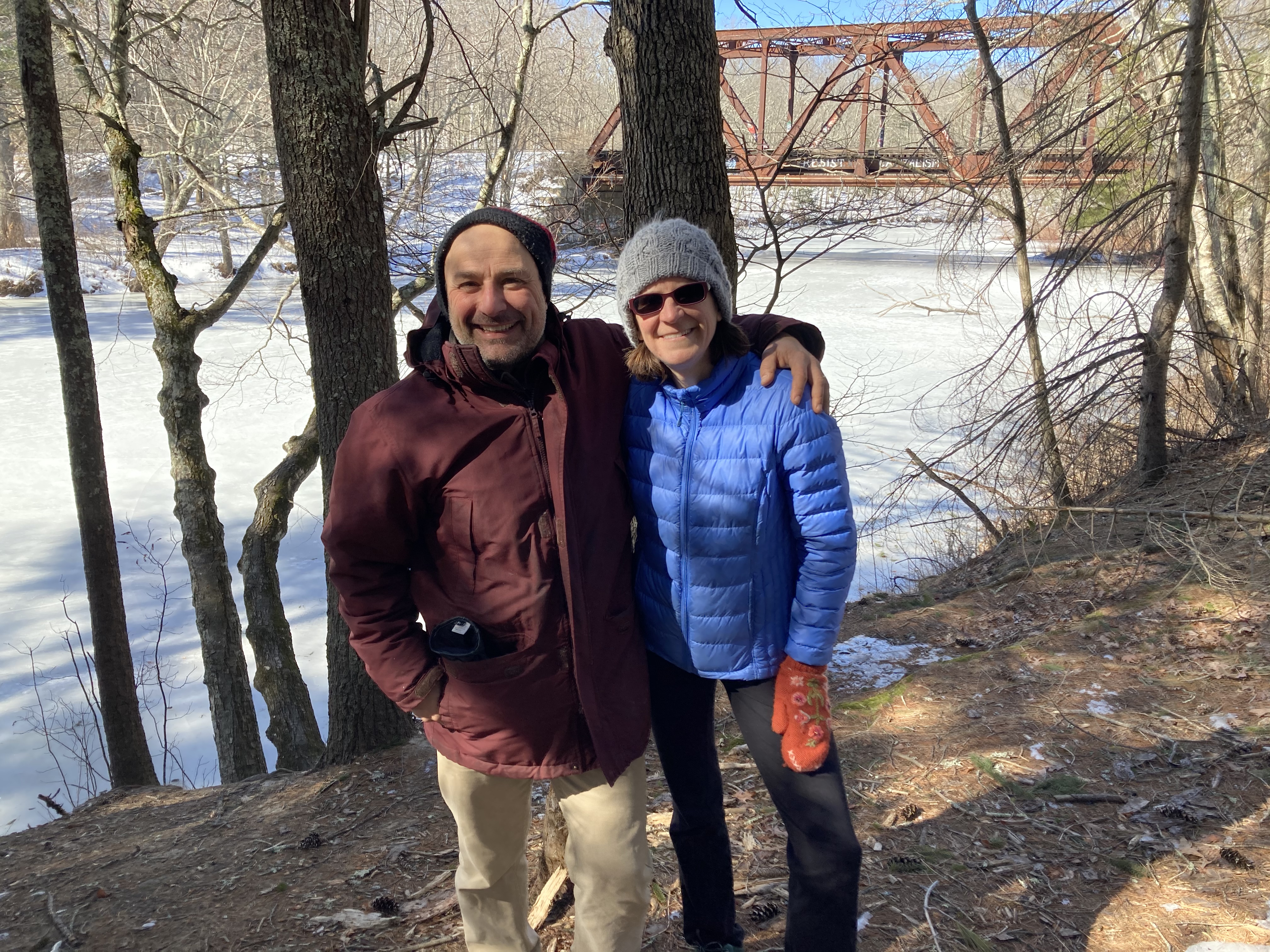
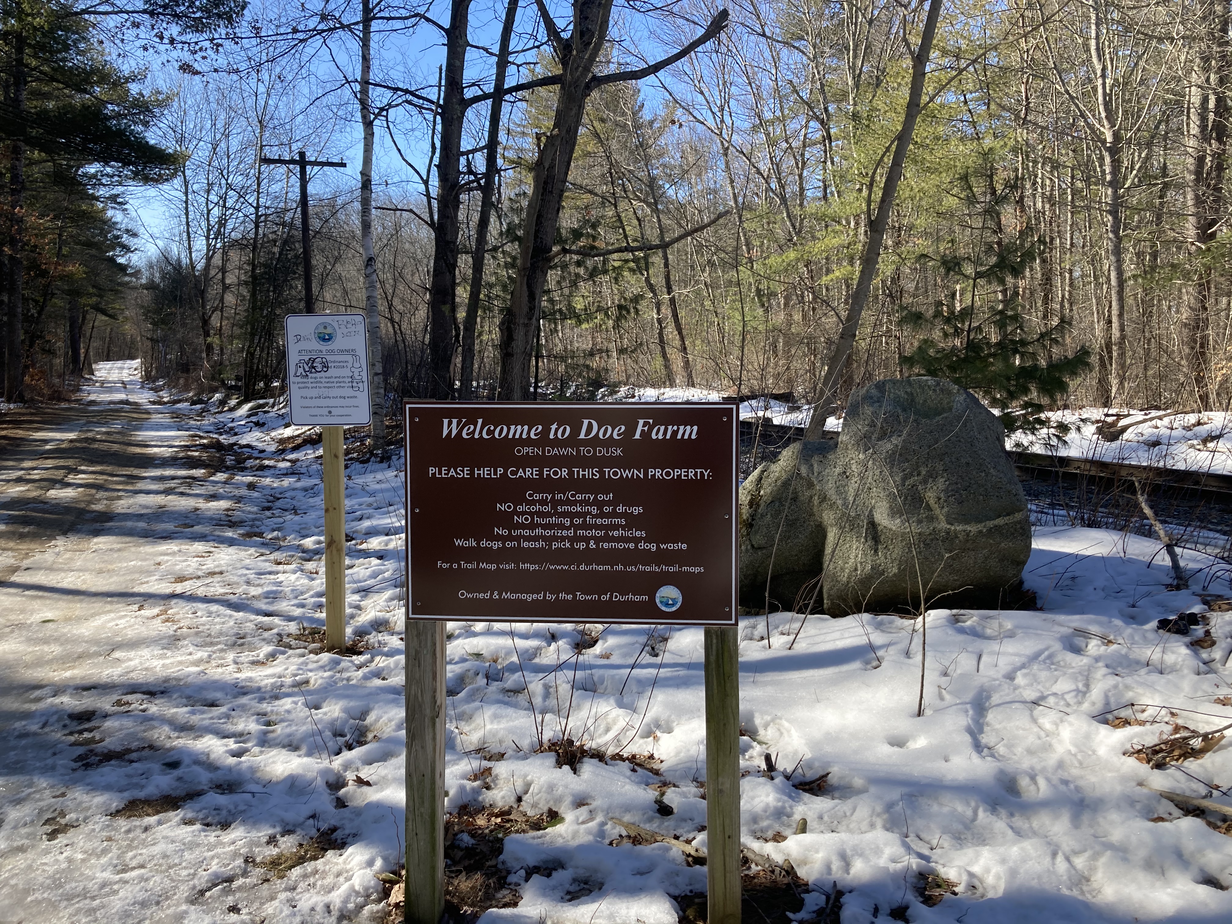
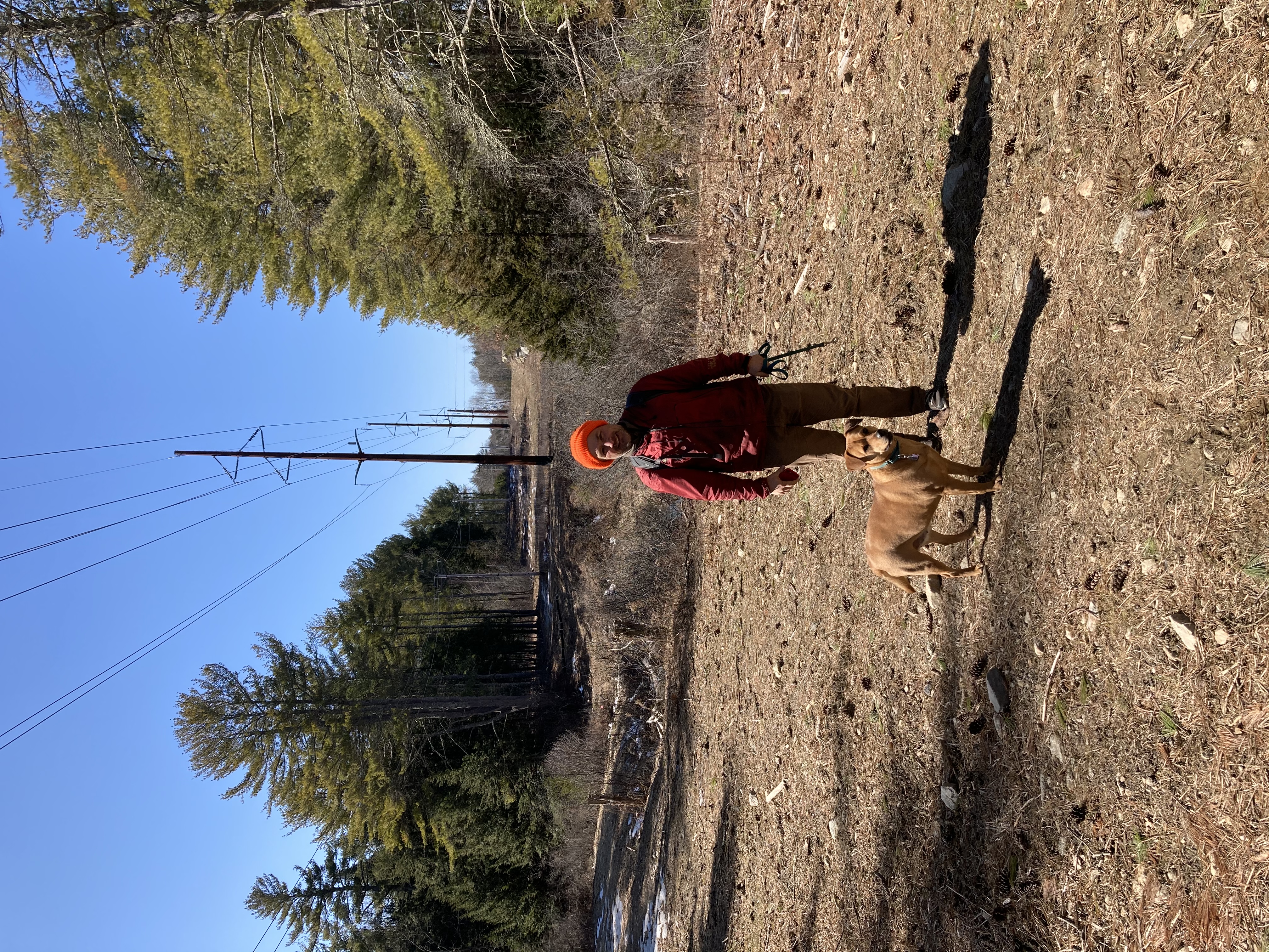
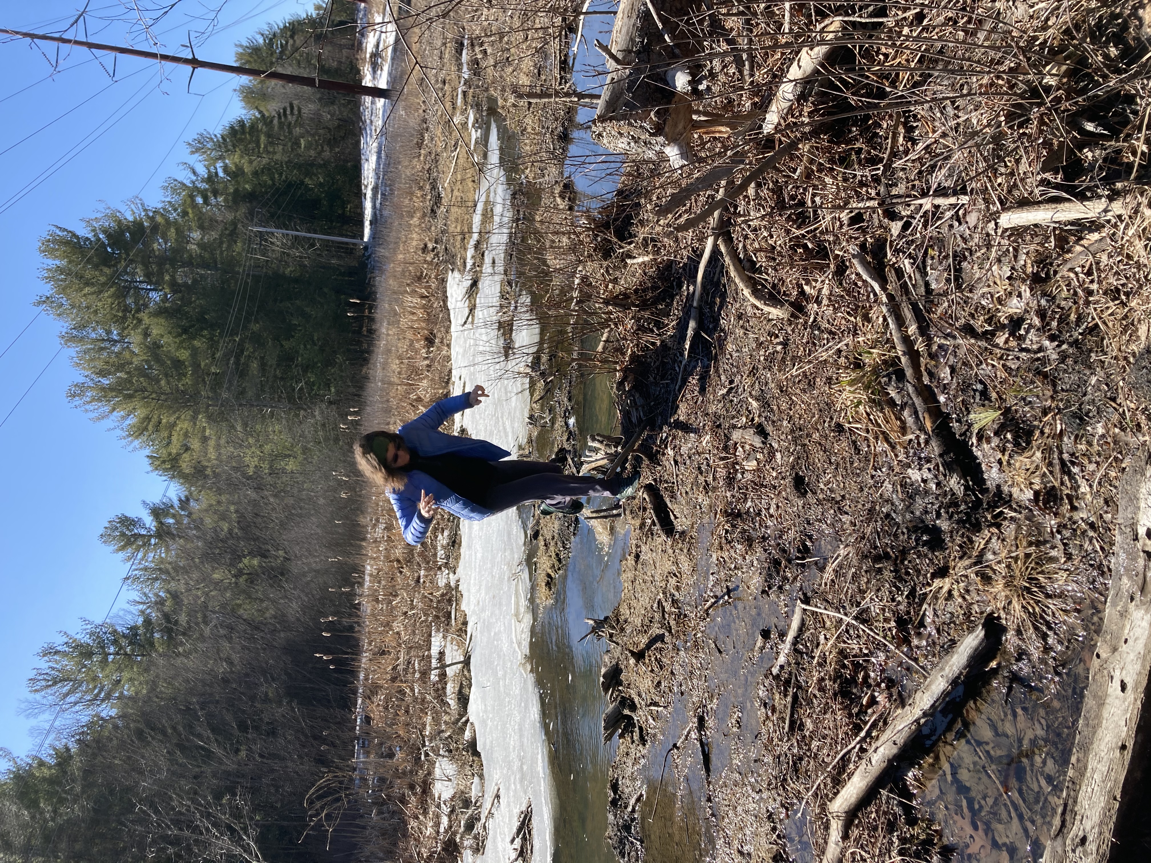
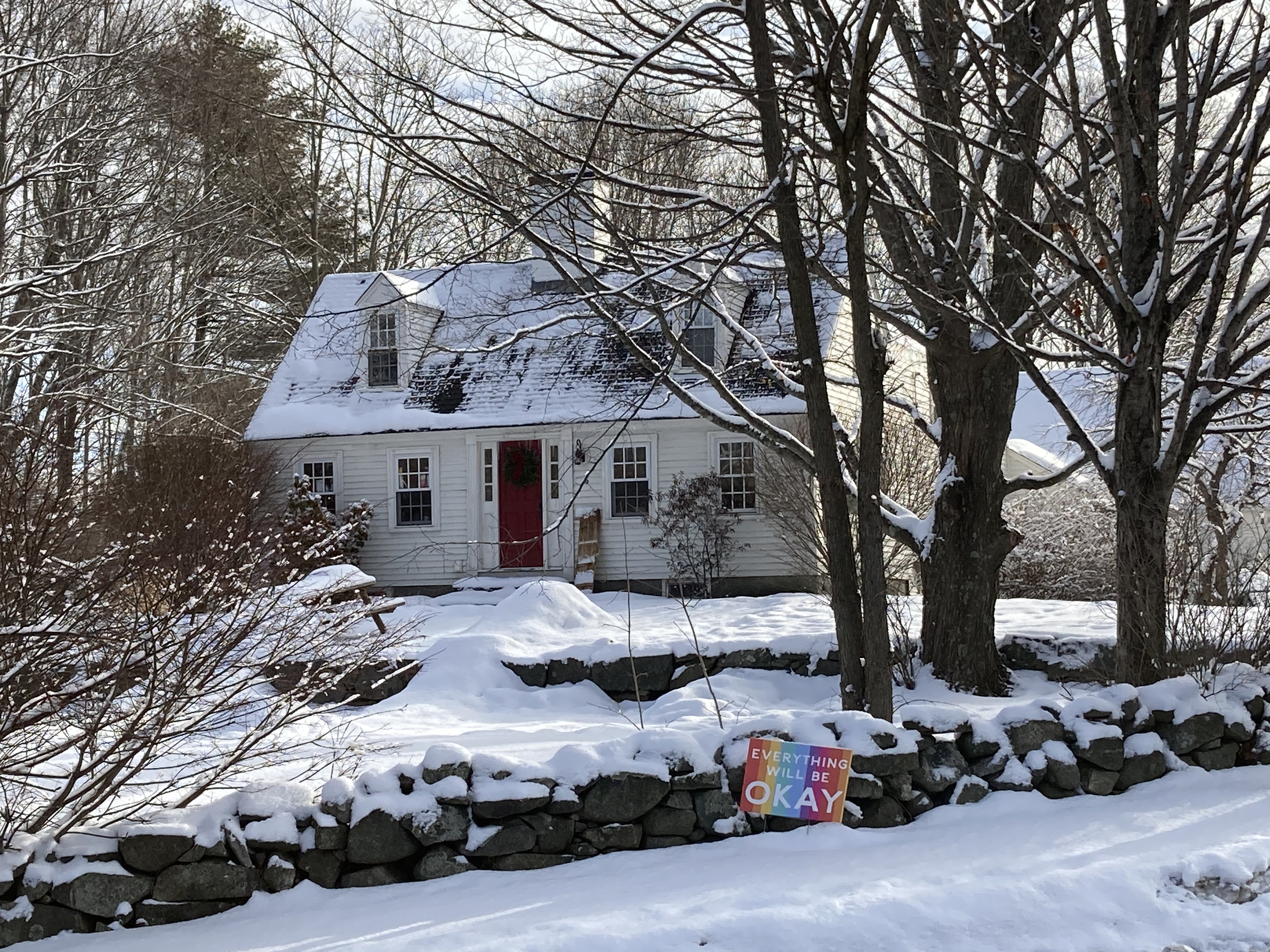
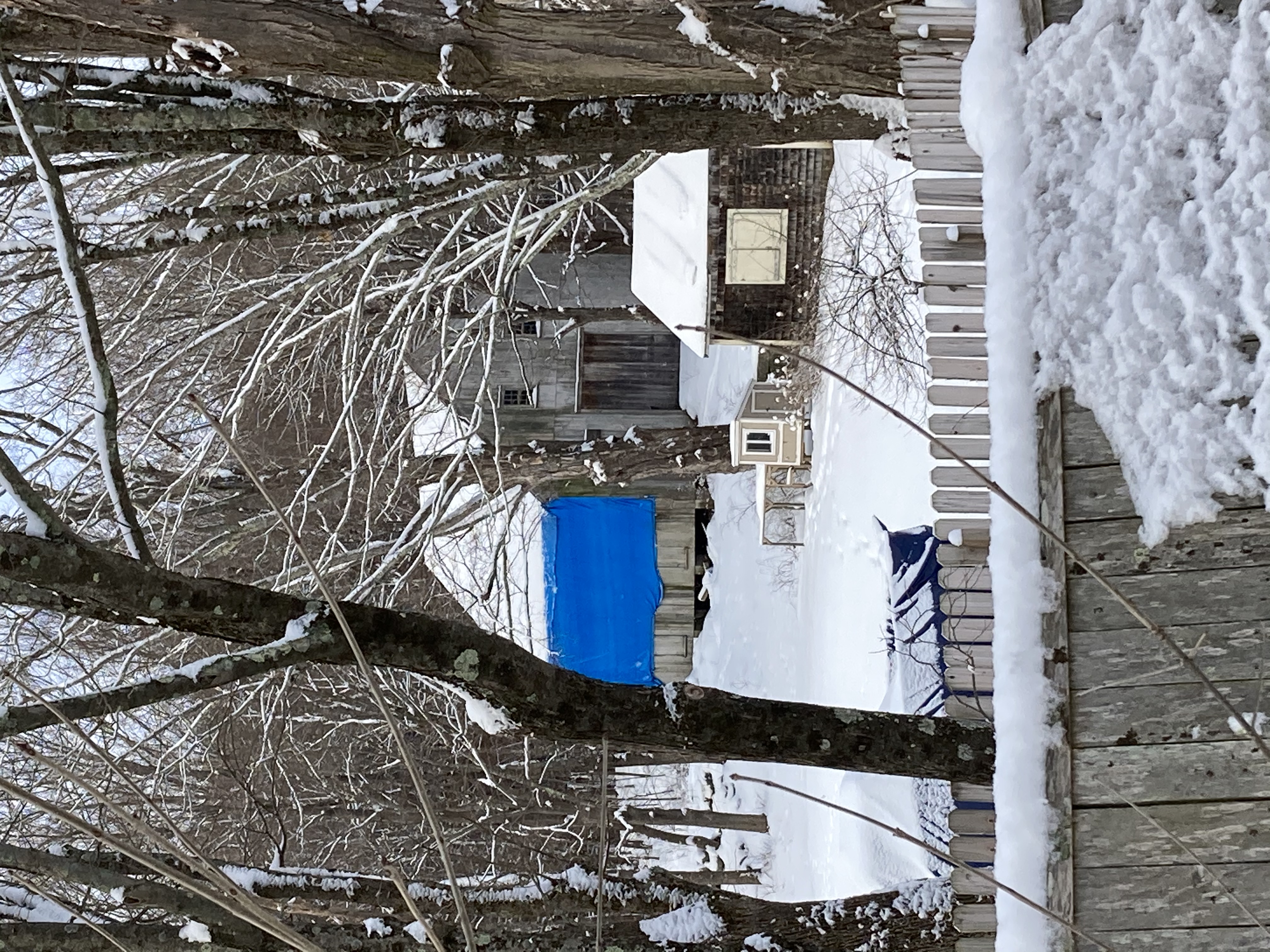
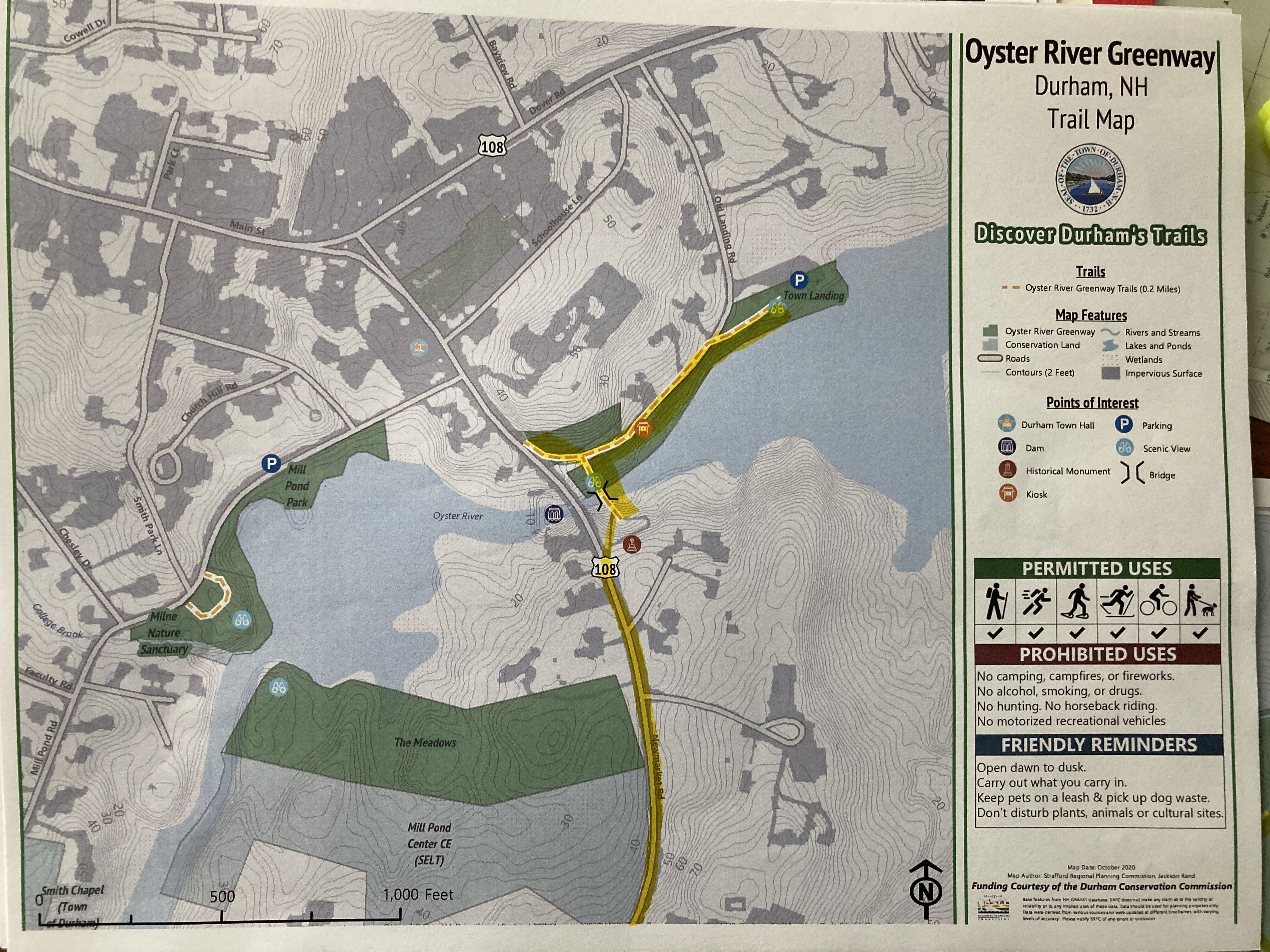
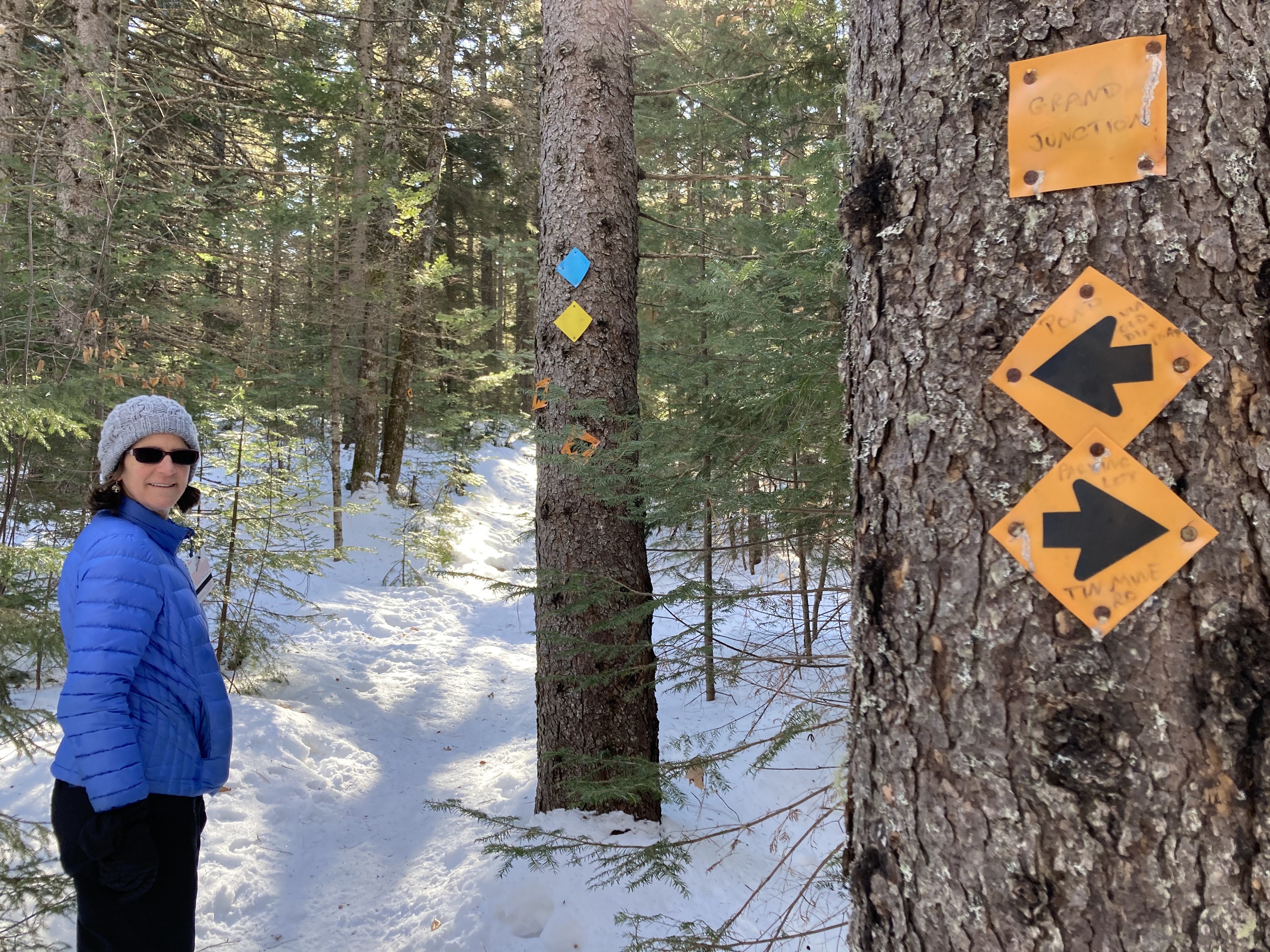
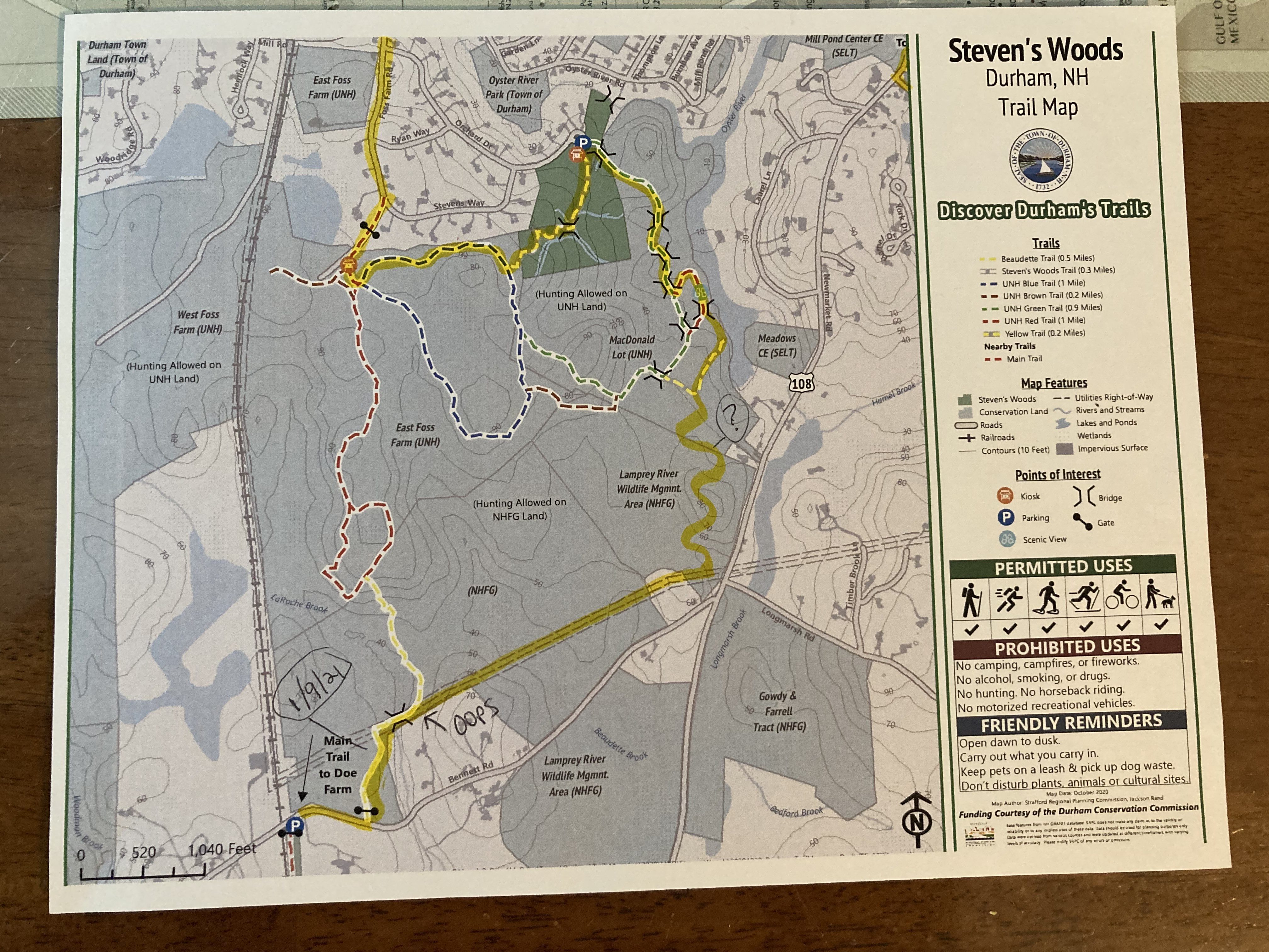
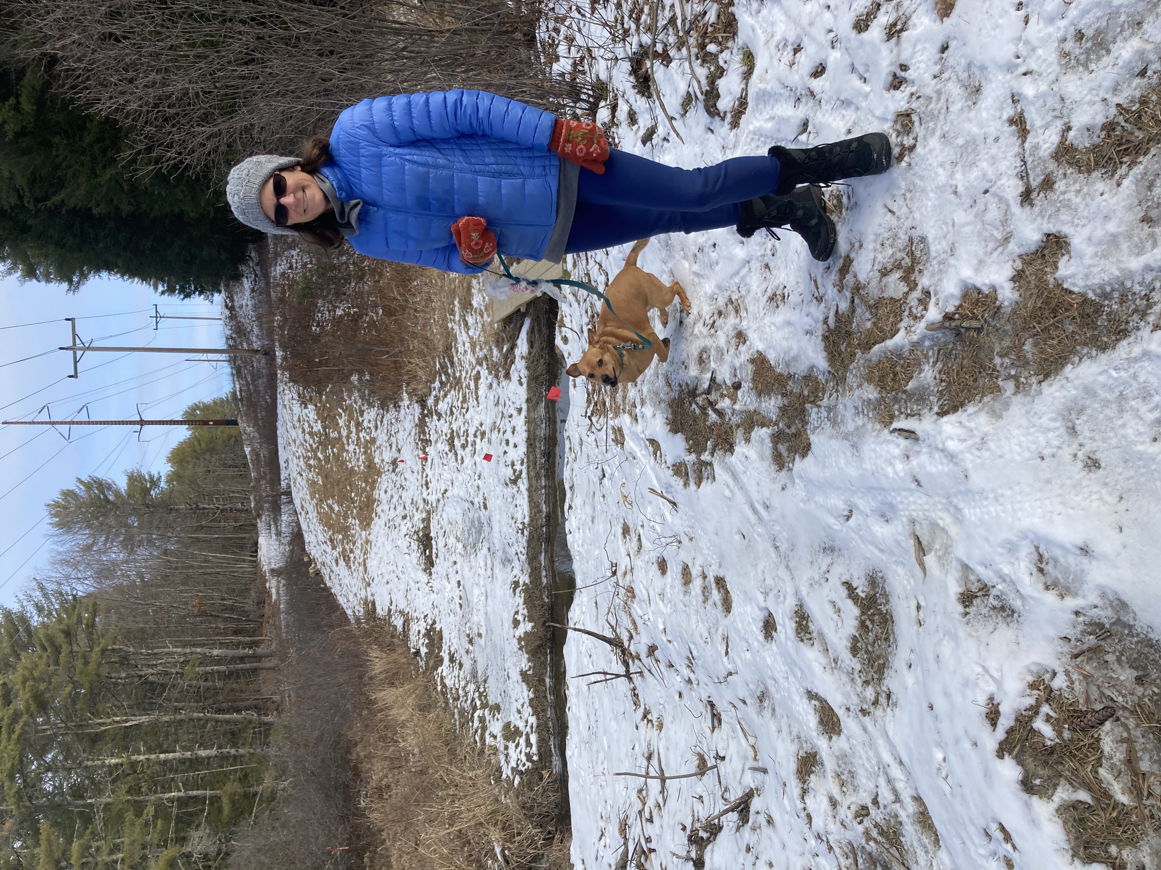
January 9, 2021, Doe Farm to Foss Farm/Steven’s Woods to Durham Greenway

Look closely for evidence of trailblazing.
Don’t be fooled by the fact that we’re walking on trails only a few miles from our house. The opportunity to get lost or side-tracked during this project is quite real. Even with a pretty good familiarity with our surroundings. Even with maps.

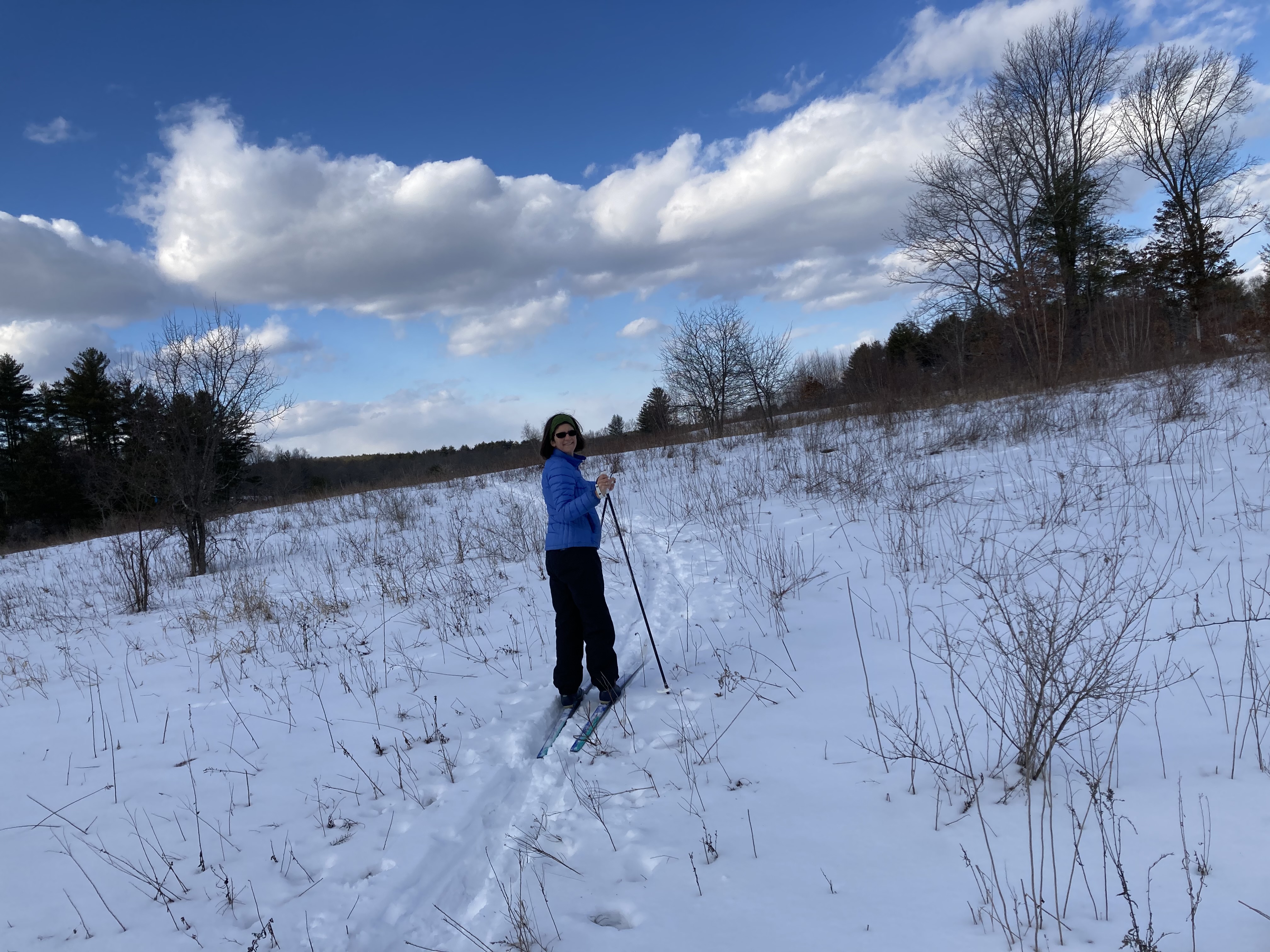
Nice and open under the power lines
Our maps — both from the town of Durham and from UNH clearly indicated a path connecting Doe Farm, off Bennett Road, with Foss Farm, near Mill Street. But we can now say with certainty that they don’t list every path connecting the two preserves.
We had trouble following the trail on the map. Very soon after Zoe dropped us off in the parking lot (our plan was to hike our way downtown and then walk back up the hill to our house), we missed a turn. Perhaps we were wrong to assume the trail followed the power lines. Maybe it did followed the power lines for a while, but we neglected to see the turn off.
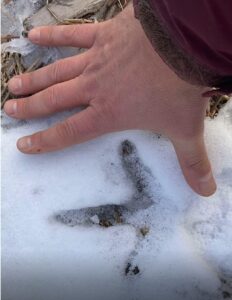
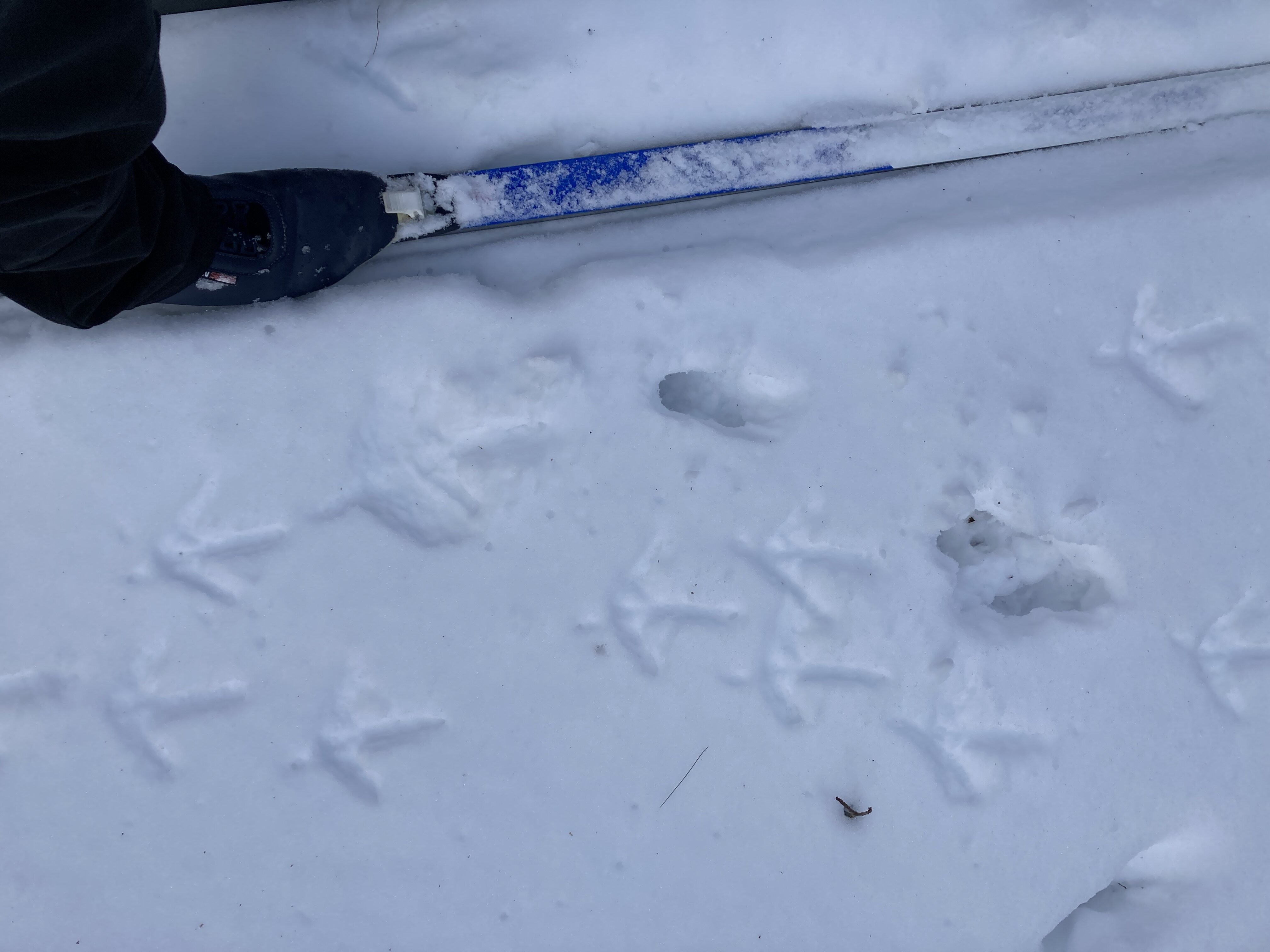
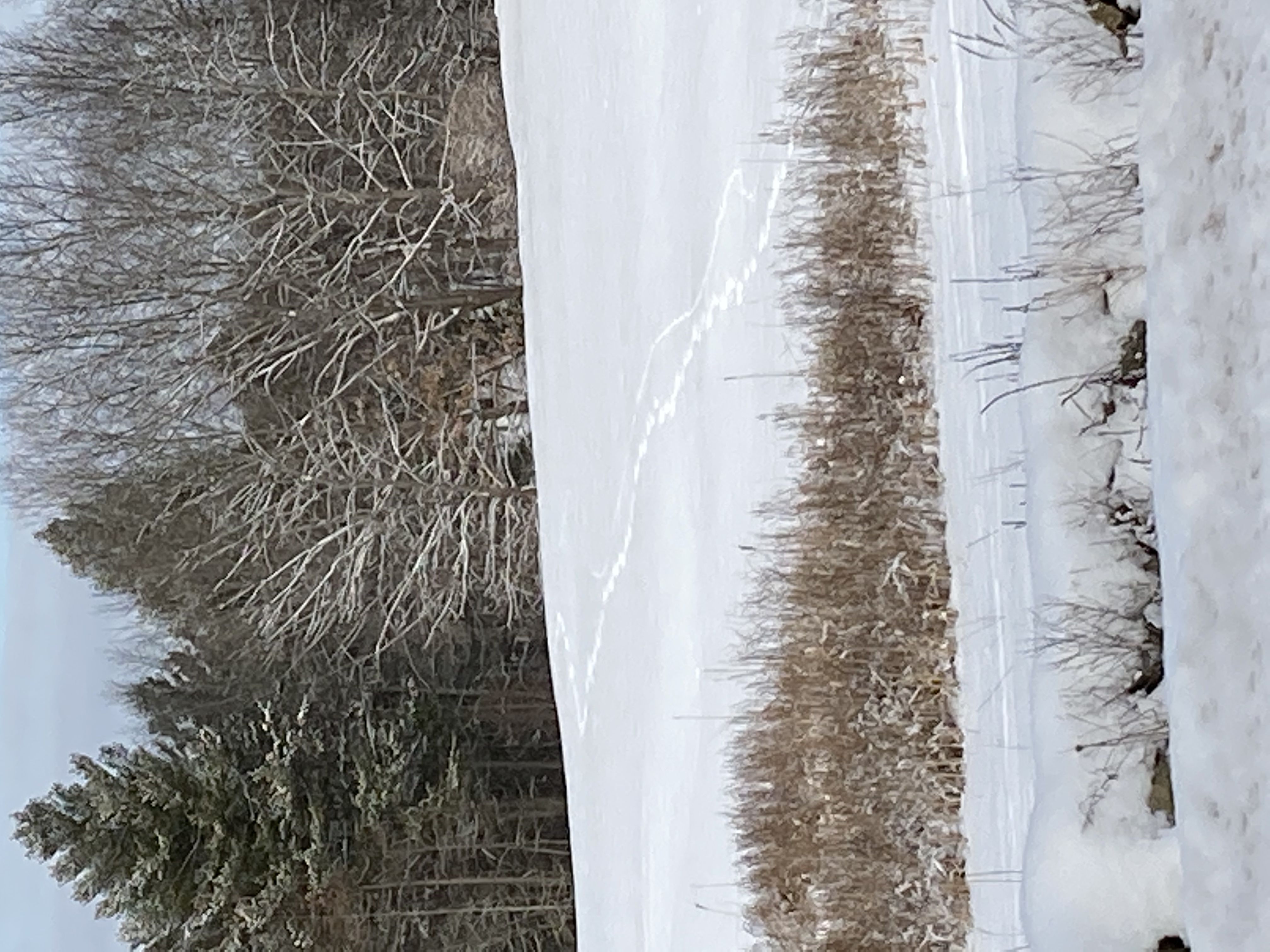
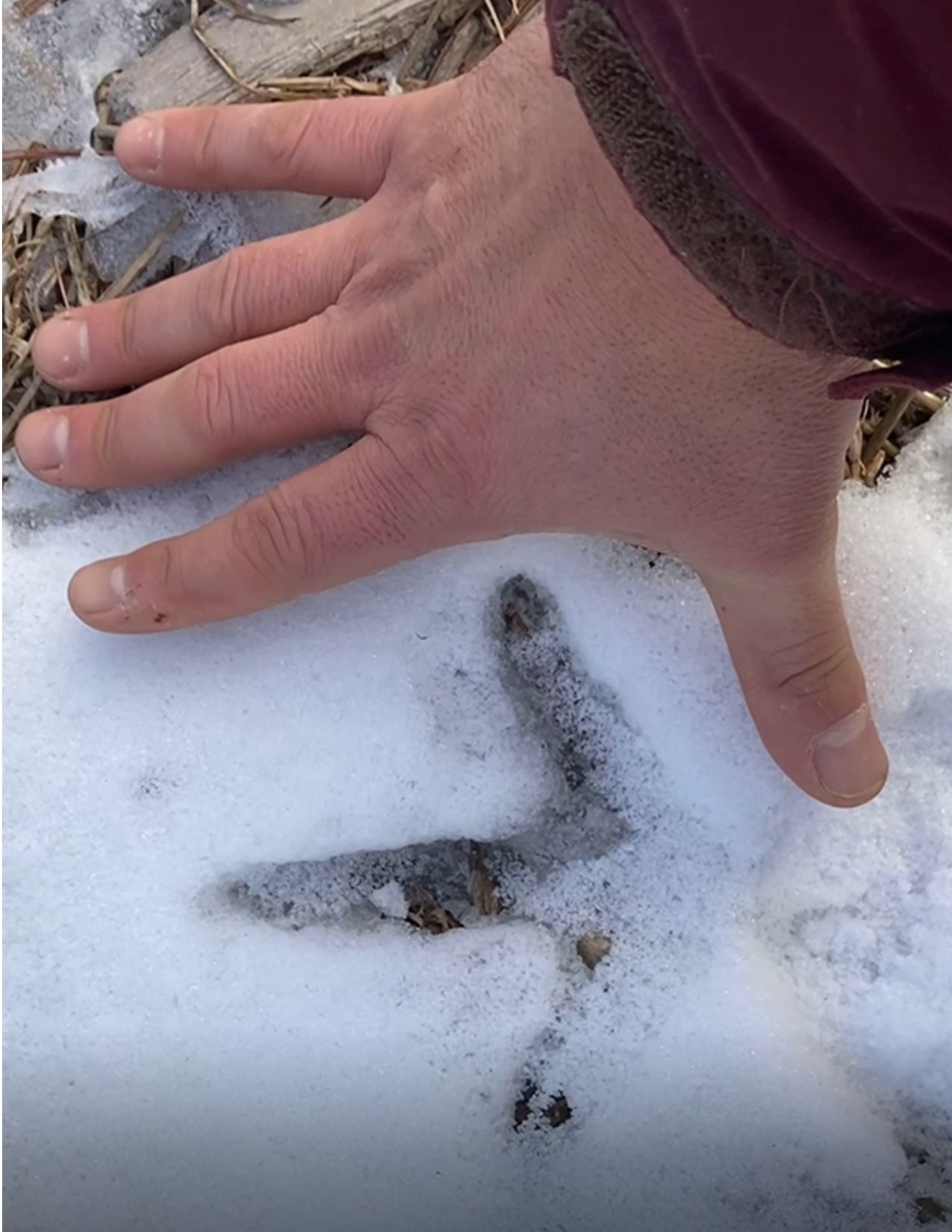
A fine turkey print
In fact, we enjoyed walking under the power lines. The ground was cleared and we could see a fair distance along the lines. There was just a coating of snow and we saw lots of animal tracks that I photographed for school. There were enough little brooks and puddles to jump over that we let Daisy off her leash (we didn’t see any other hikers around once we left the parking lot).
We were having such a good time, it was a bit of a surprise when we found ourselves overlooking route 108. We had nearly walked all the way back home, without doing the downtown part.
A faint trail led off towards town and we decided to take it. The

Somewhere between Doe Farm and downtown
snow here was unmarked by hikers’ feet. Jen checked the picture of the map on her phone. It didn’t look like we should be near 108 at all. But we kept walking. We knew where we were — sort of. We would get to the Mill Pond Center eventually — maybe. Those houses on the other side of the ice might be Laurel Lane. That could be the Oyster River. We staved off any chance of panic by feeding our curiosity. We probably were never more than a mile and a half from our house.
Then we met a trial that actually had blazes on it. There were footprints on the ground and a sign with the UNH logo announced an un-maintained trail. The sign was referrring to the trail we had just walked in on. There are more than one path connecting Doe Farm with Foss Farm (the UNH trail we found was in the Foss Farm system). If the maps represent the 50 miles of trails our town boasts about, then they are underestimating their network. There are 51 1/2 miles, at least. We found more miles.
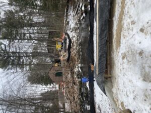
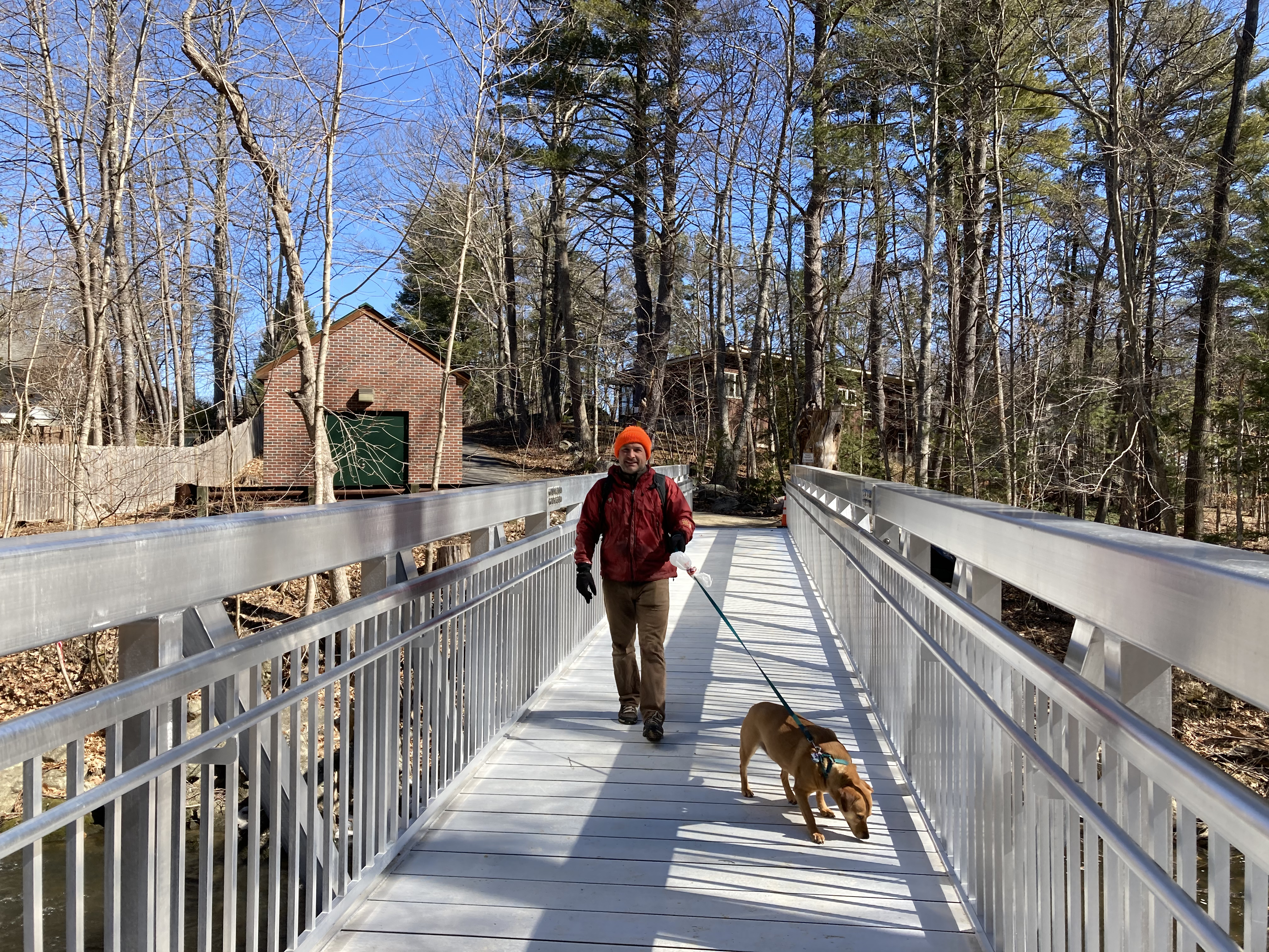
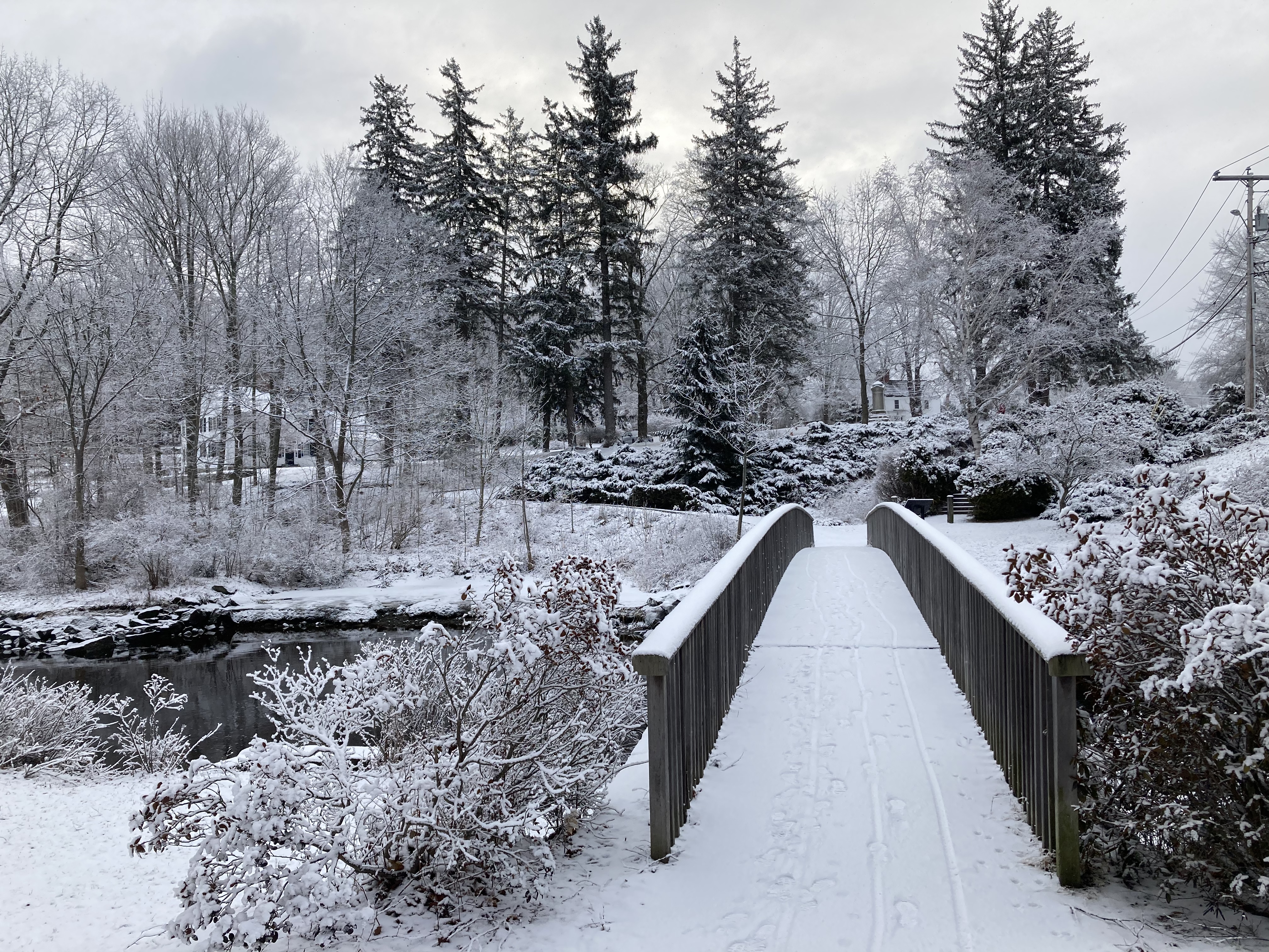
Future site of pedestrian bridge, as viewed by current pedestrians
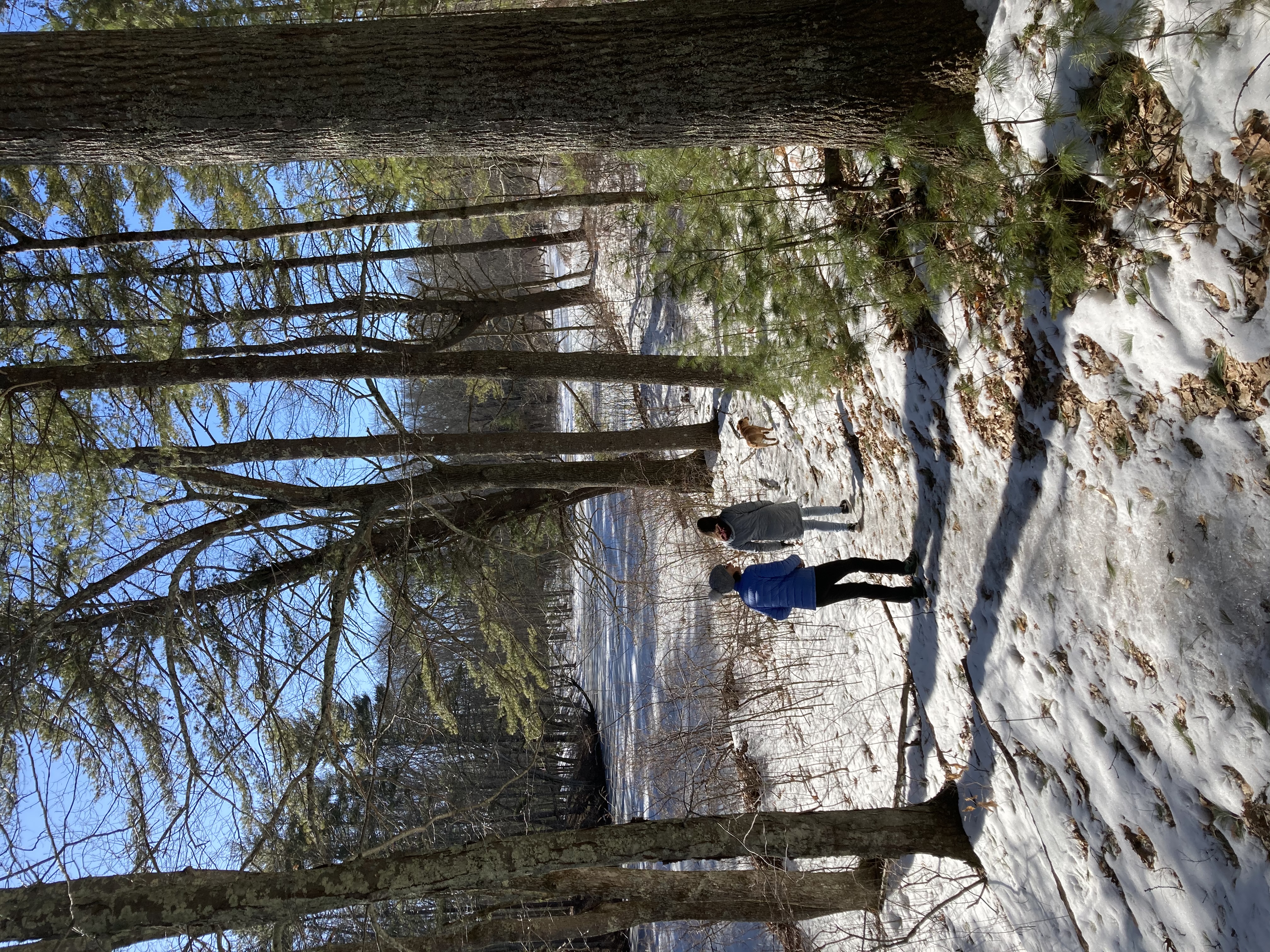
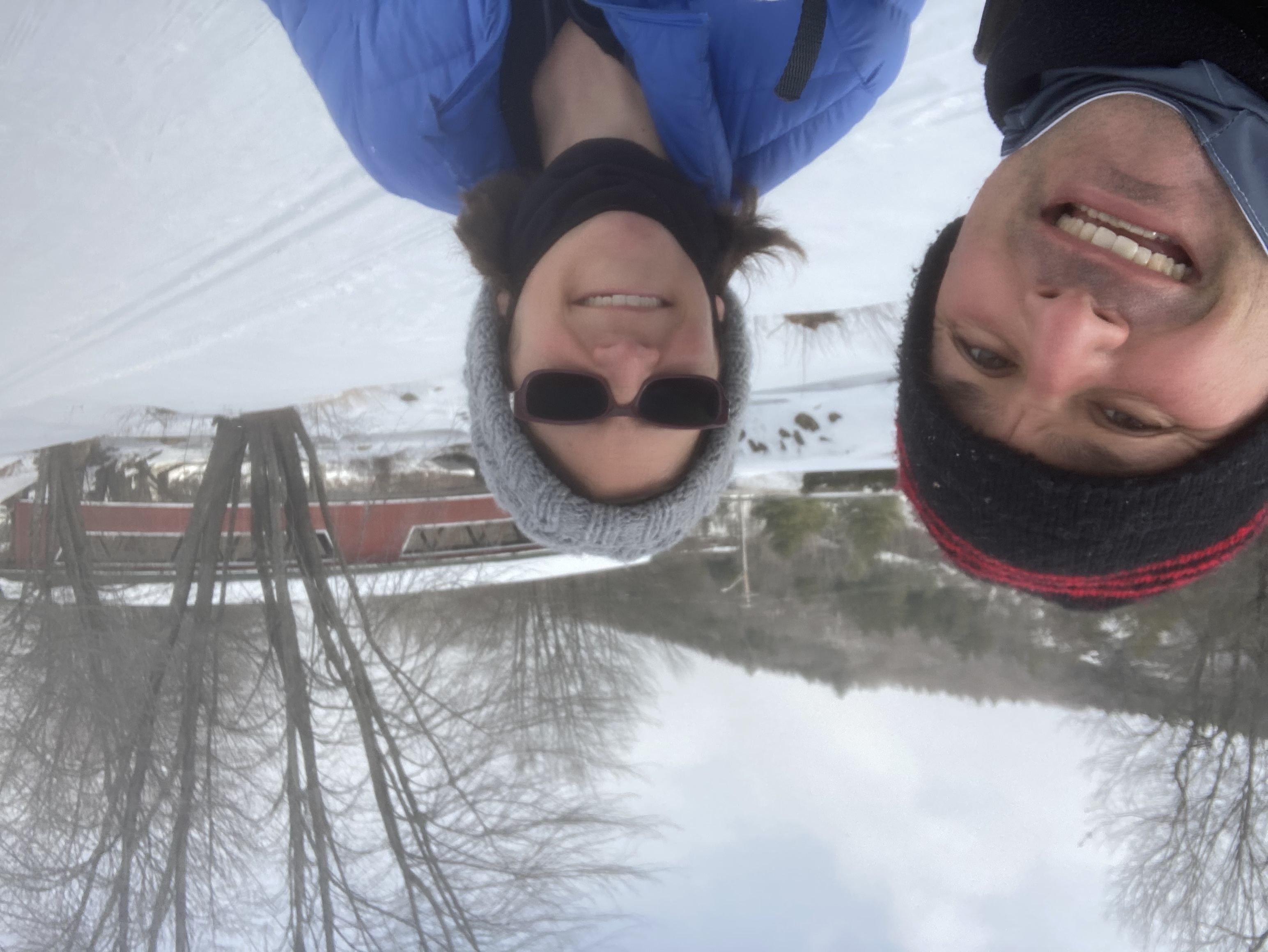
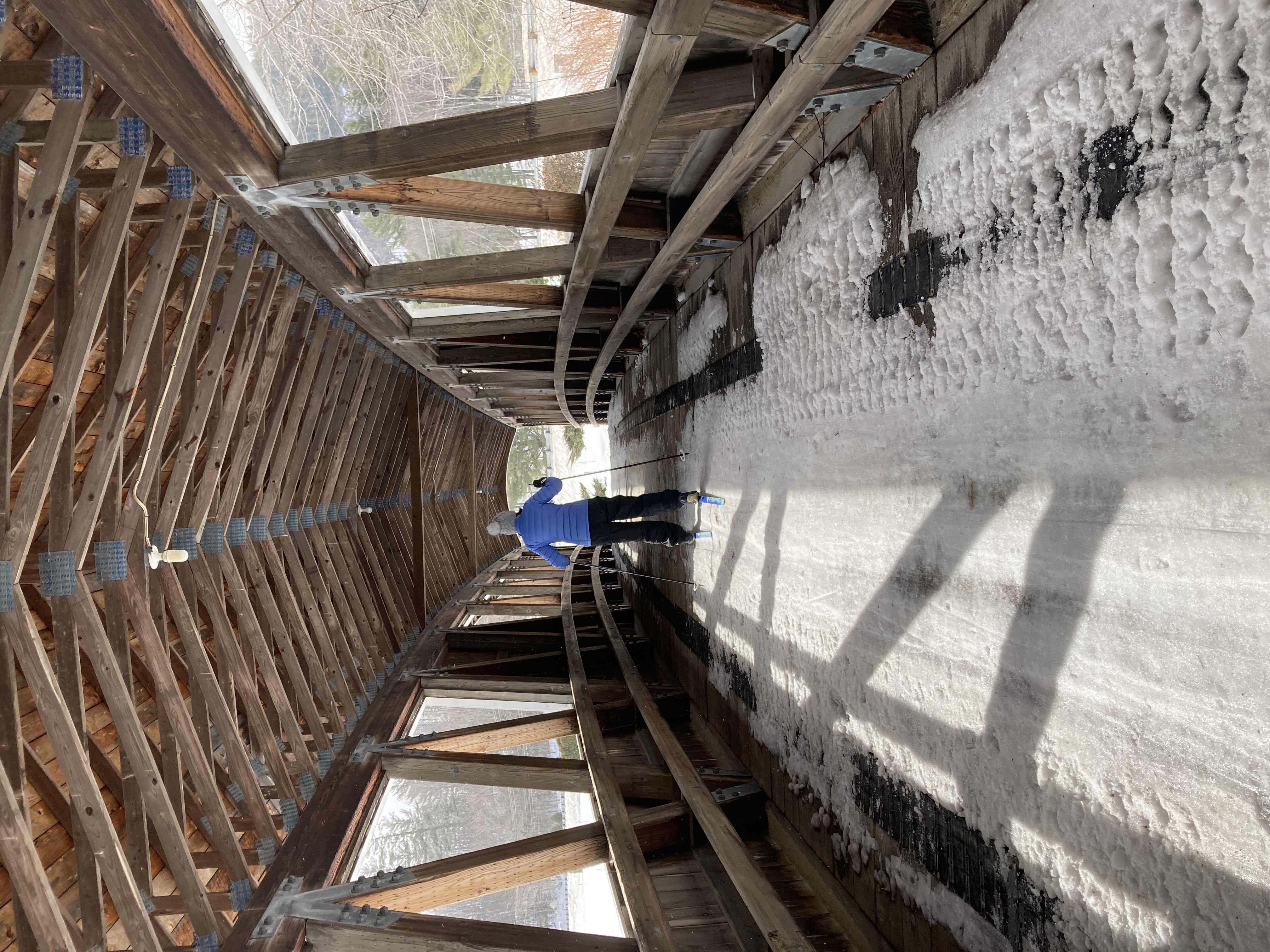
Once in the the Foss Farm network, we saw that not only are the trails marked, they’re color coded to the map. We really knew where we were now and we guided ourselves to the new bridge that had been assembled to connect the Foss Farm neighborhood with the Faculty neighborhood. We had read about it in the town updates.
Then there it was in front of us, in all its silver metal glory, sitting along the driveway to the pump house on the other side of the river. We had read that the bridge had been assembled; we had not read that it had been installed over the river, because it had not yet actaully been installed. This is a good lesson in why we should read the town updates very closely.

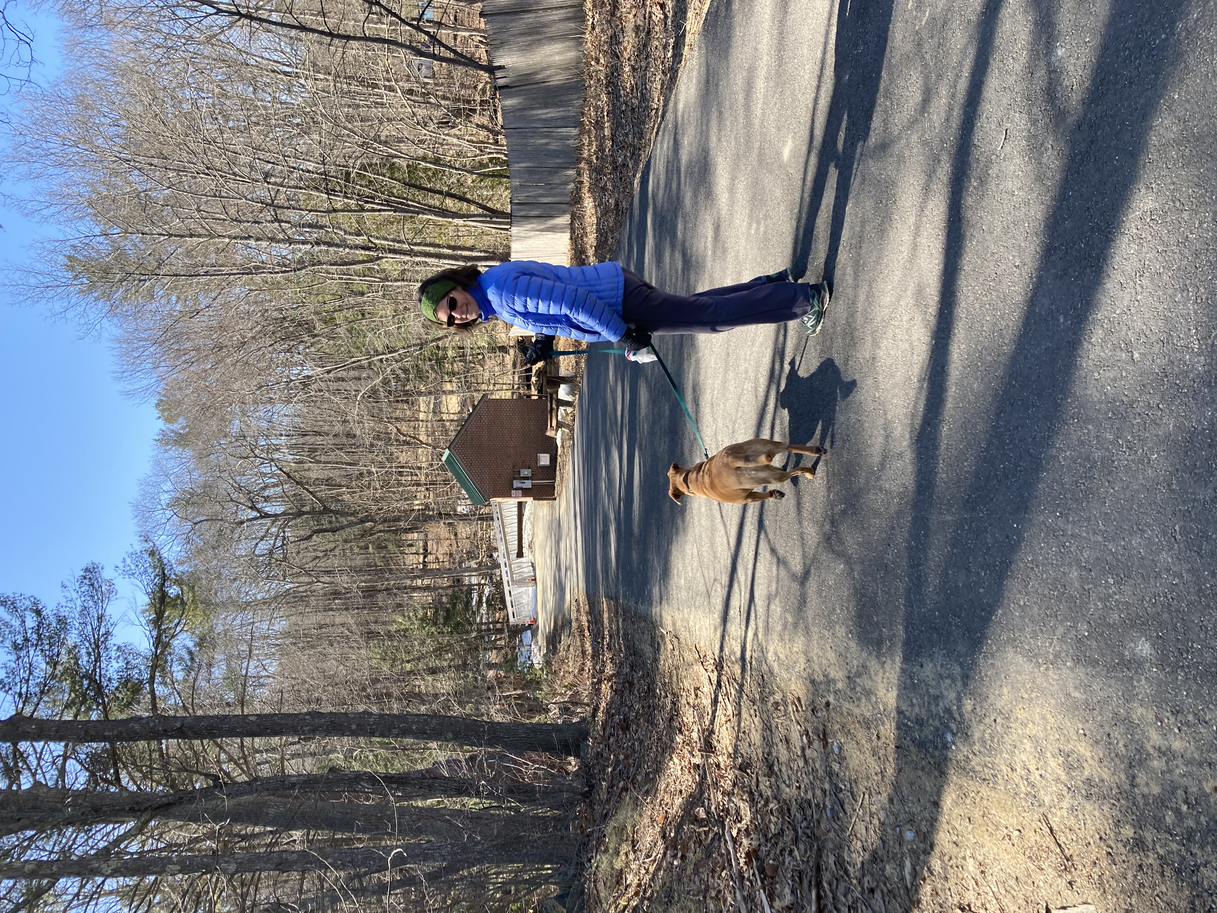
Sub-urban hikers
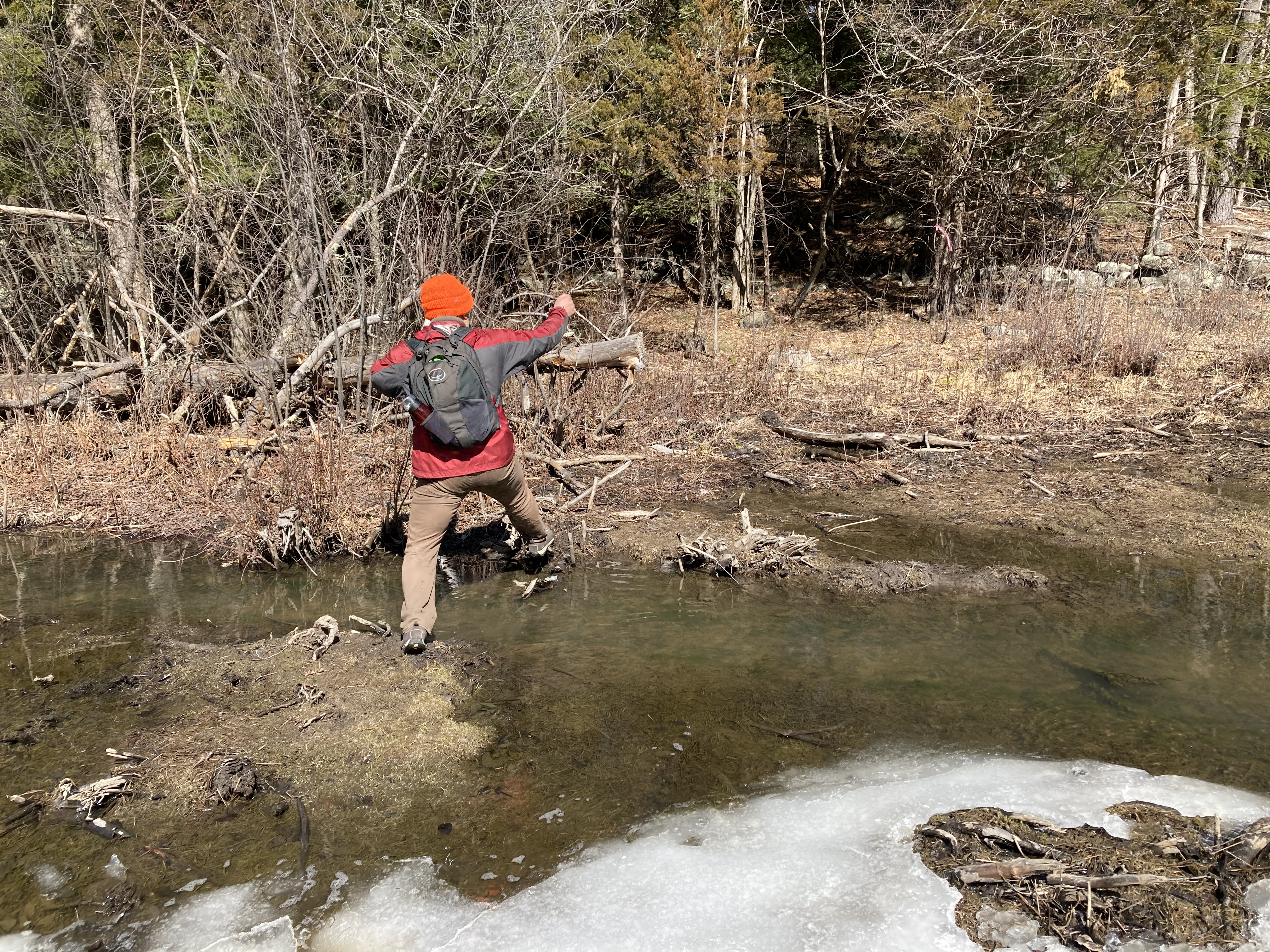
After briefly toying with and then quickly discarding the idea of attempting to ford the river, we walked some more through the Foss Farm woods and out onto Mill Road, then into downtown and up the hill back home. It turned out to be quite an epic walk — bypassing the bridge added another hour to a walk that was already two hours old. Daisy was wiped out by the time we got home and so were we.
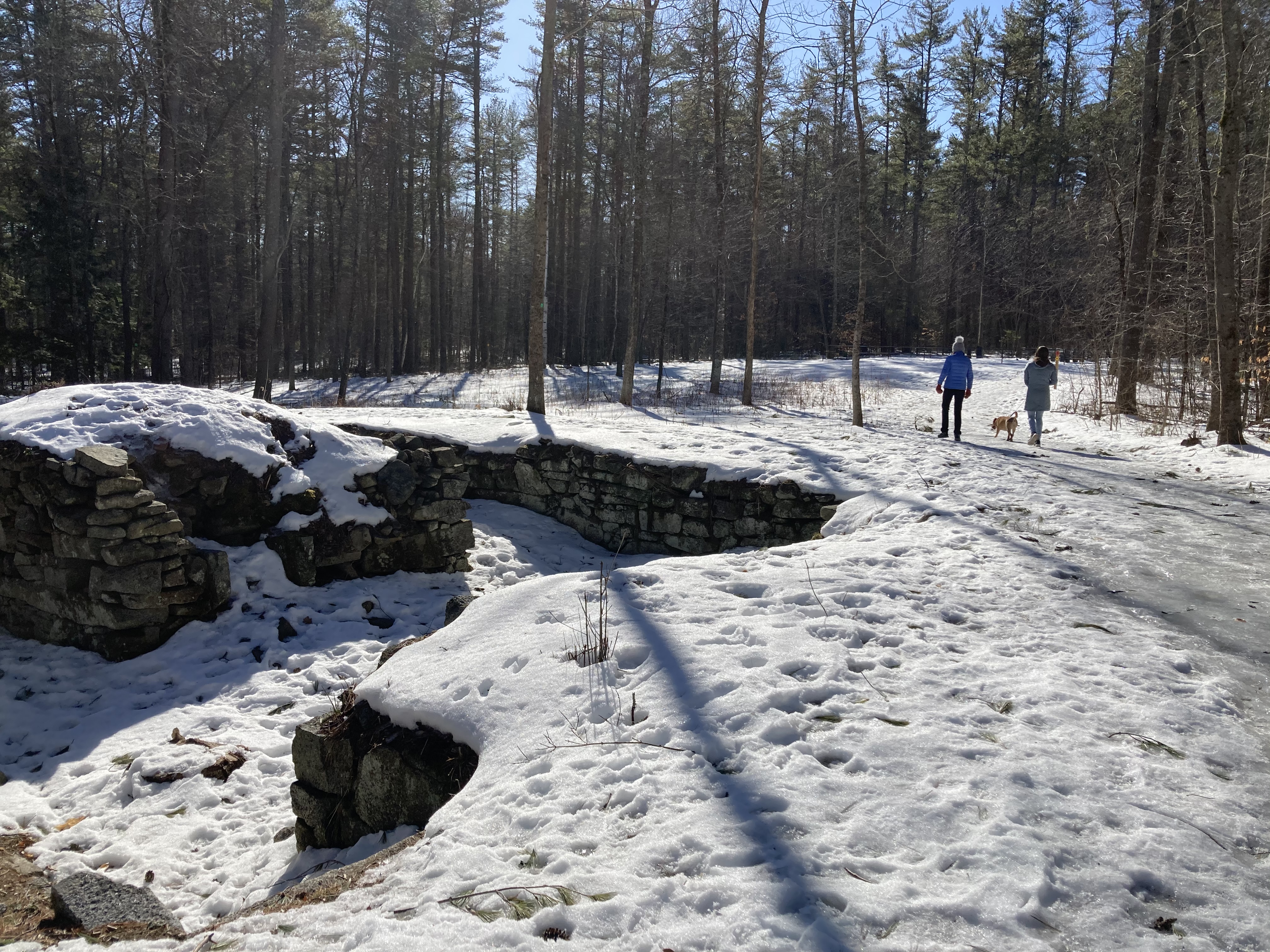
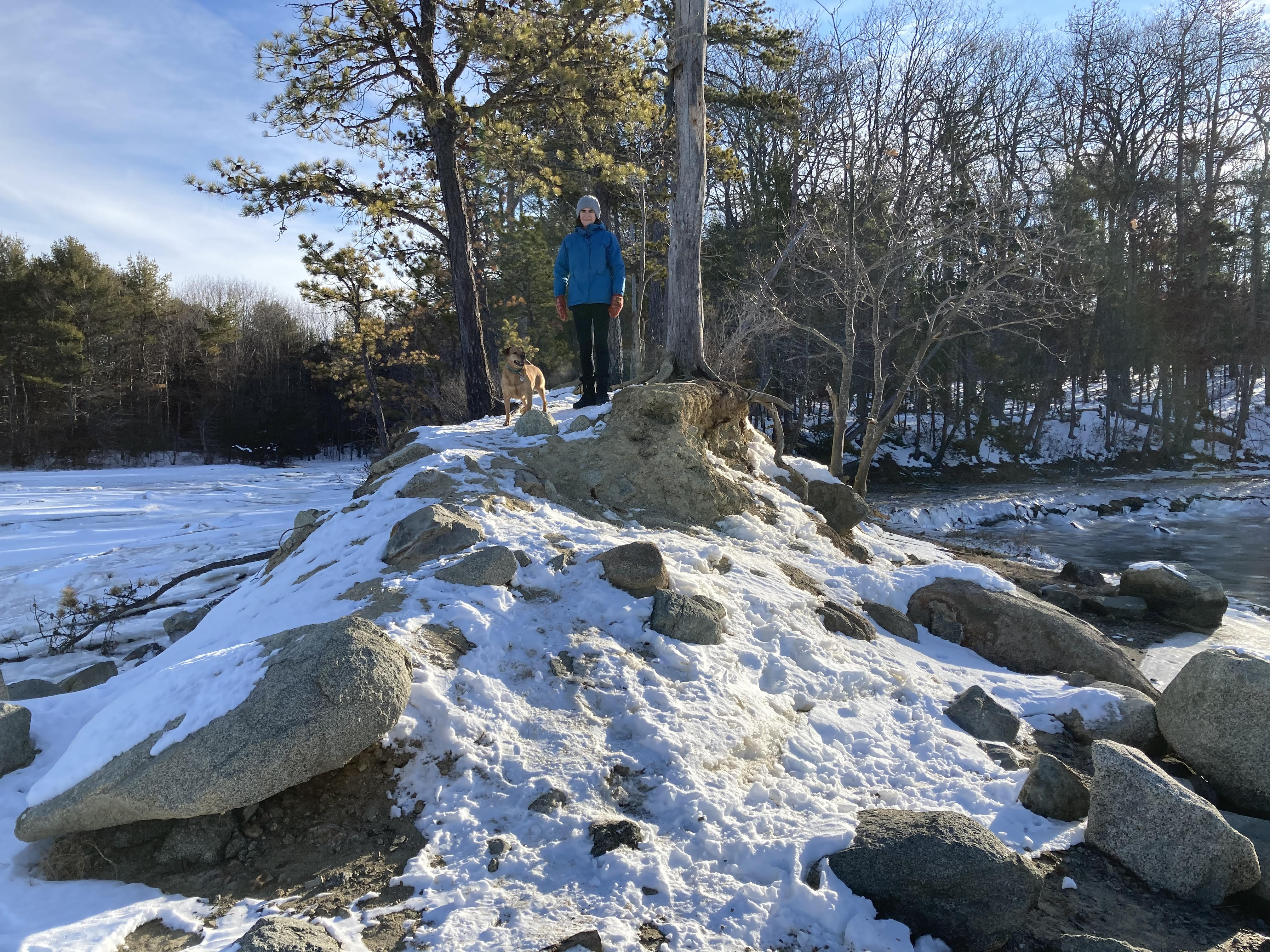
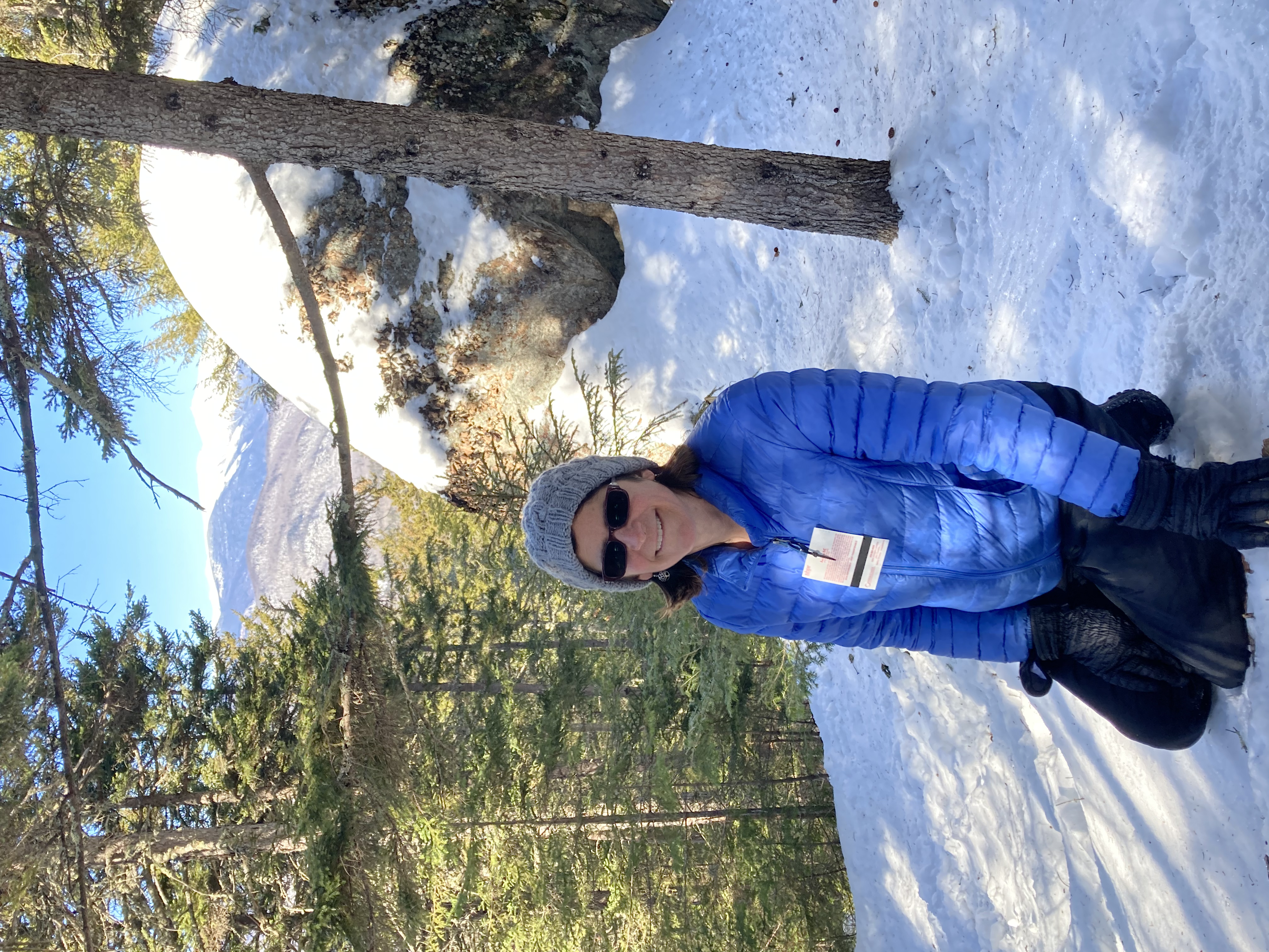
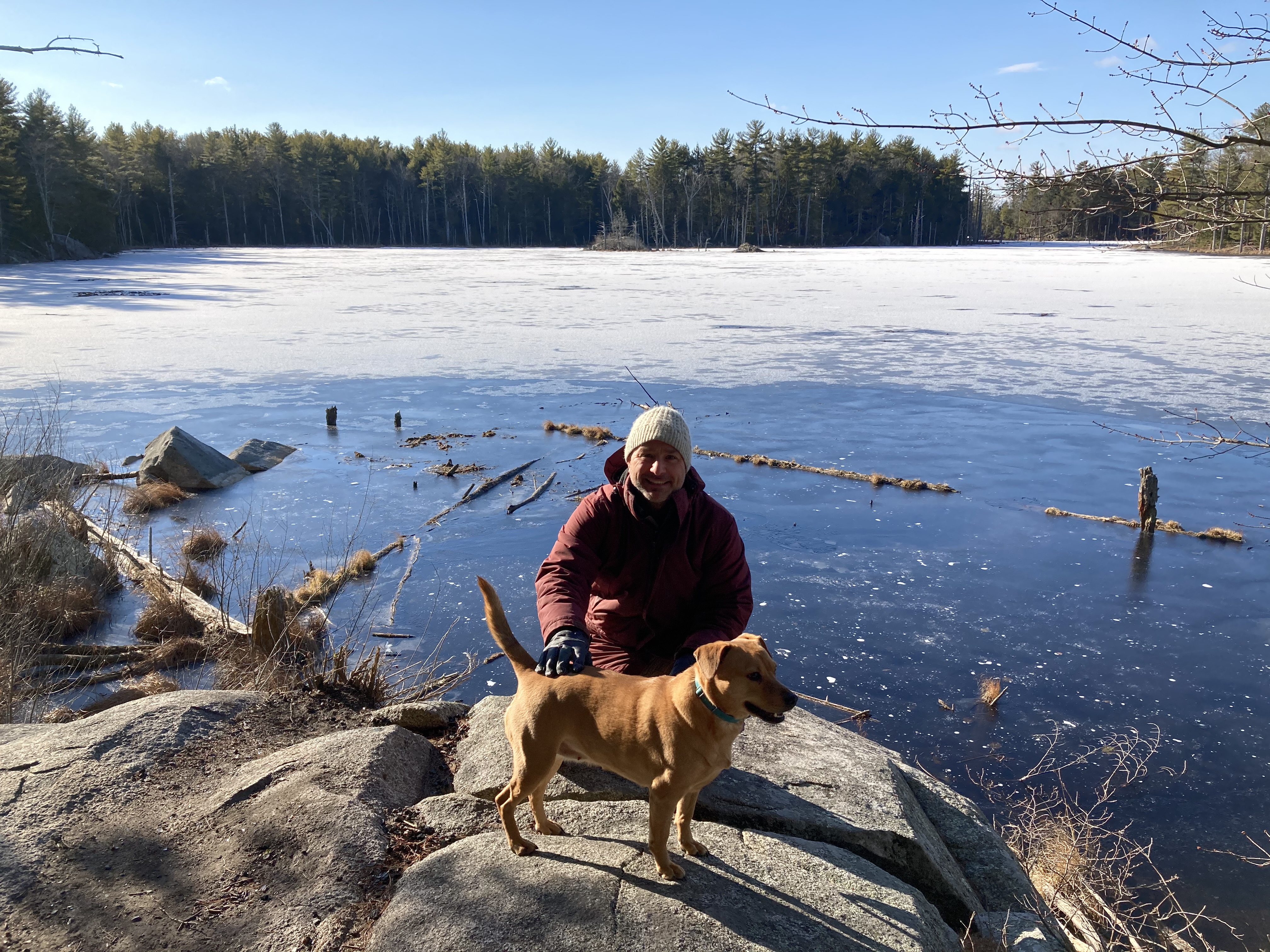
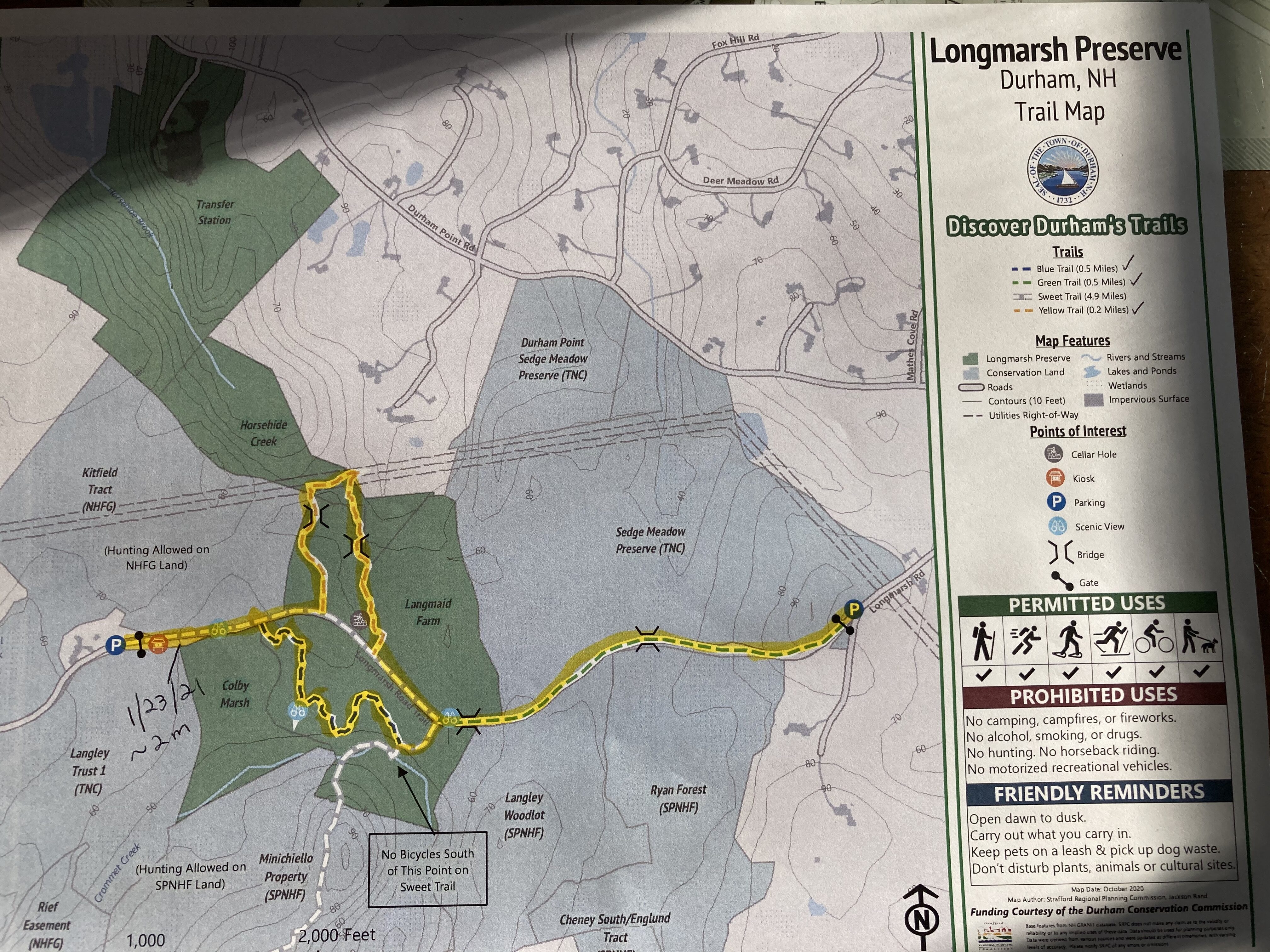
January 23, 2021, Longmarsh Conservation Area

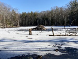
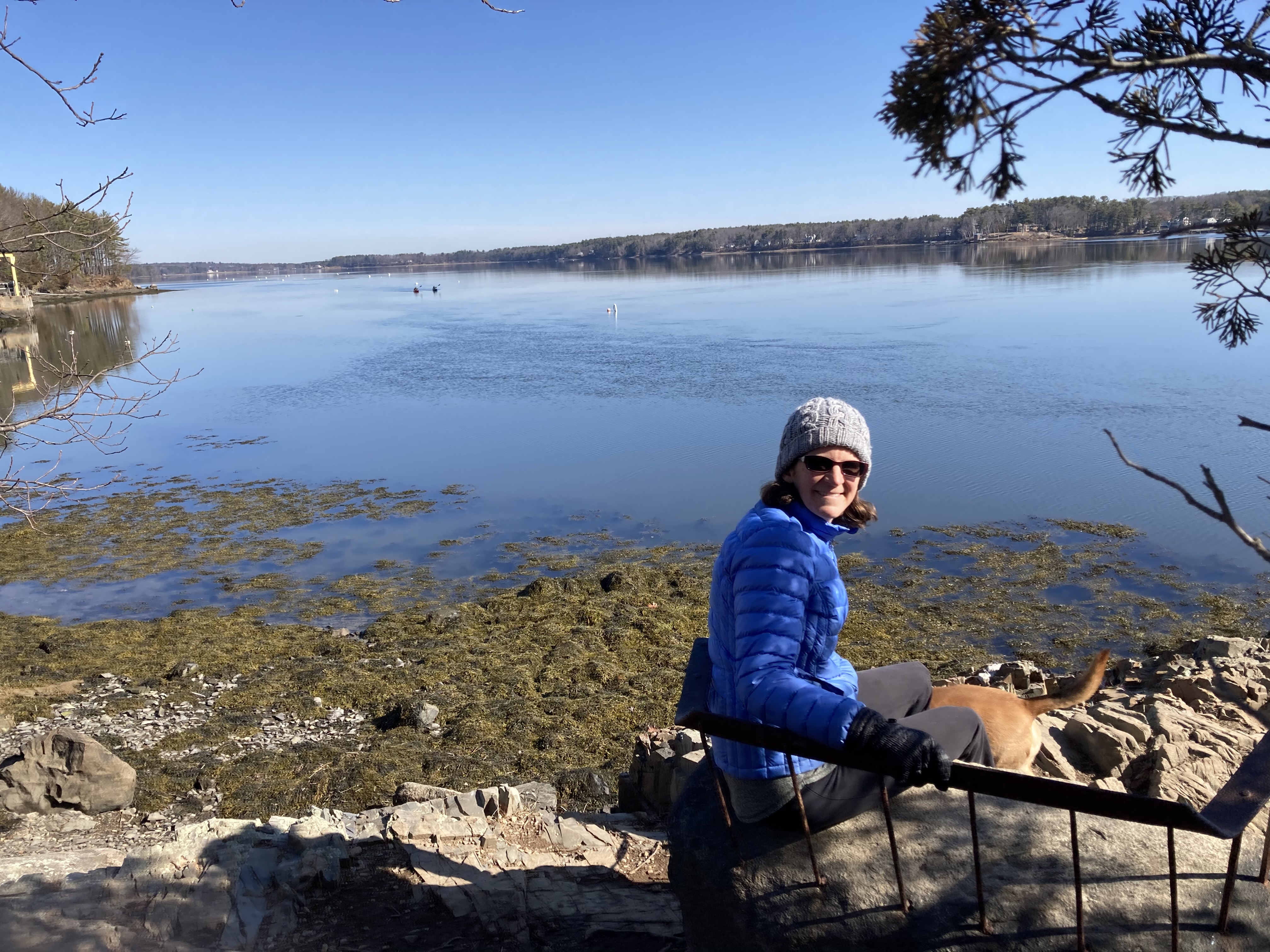
One of the Longmarsh beaver ponds
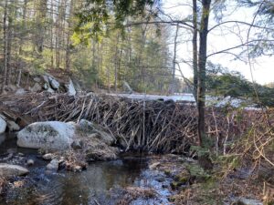
The dam that holds it back
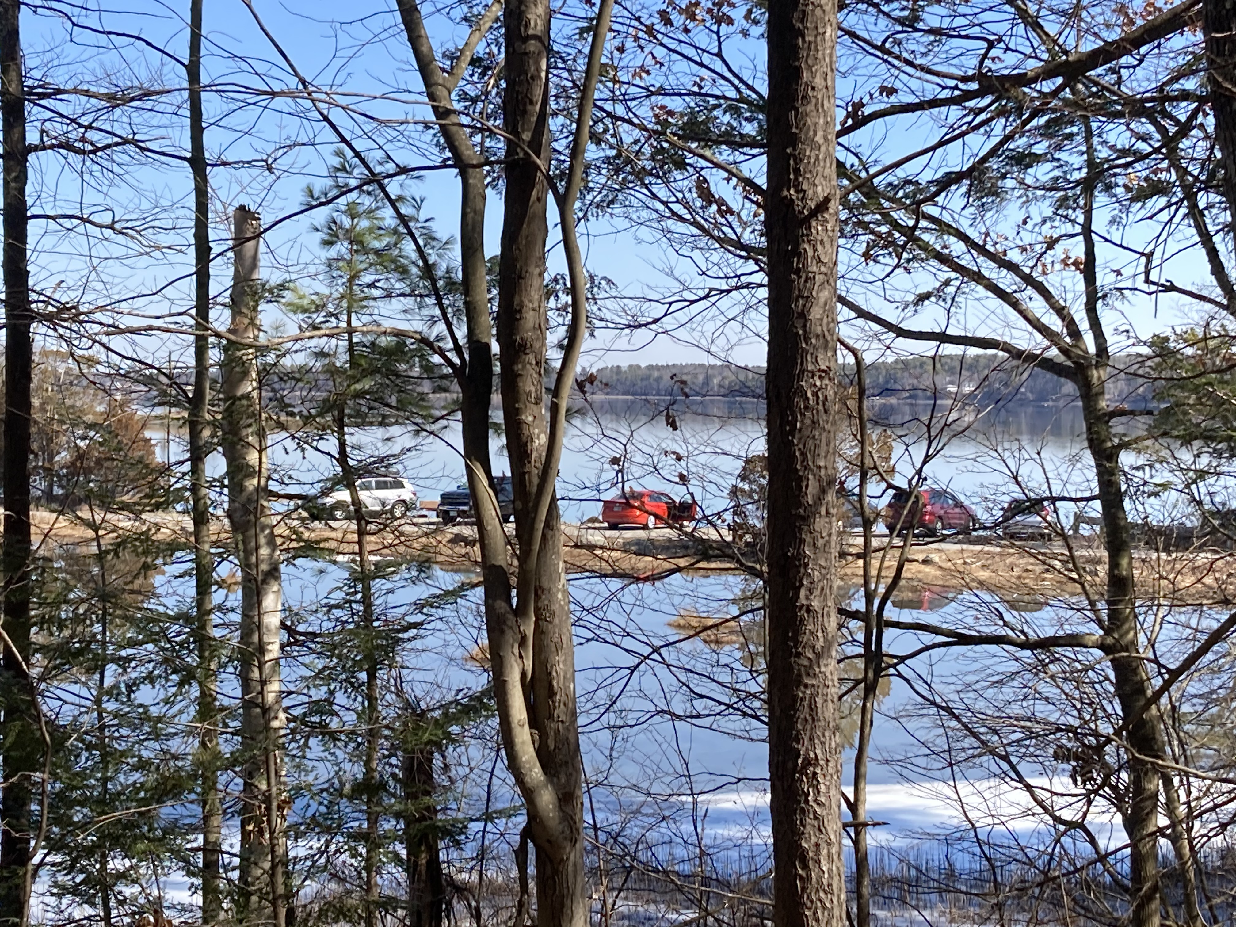
It could be said that the crown jewel of Durham-area trails is the Sweet Trail — that four miles of wild beauty that stretches into Newmarket and to the bay. The Sweet Trail is very popular among walkers and trail runners, but most of the attention seems to sway toward the bay side of the trail, whereas we tend to gravitate to the inland terminus, the Longmarsh Conservation Area.
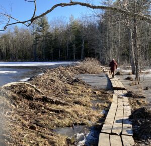
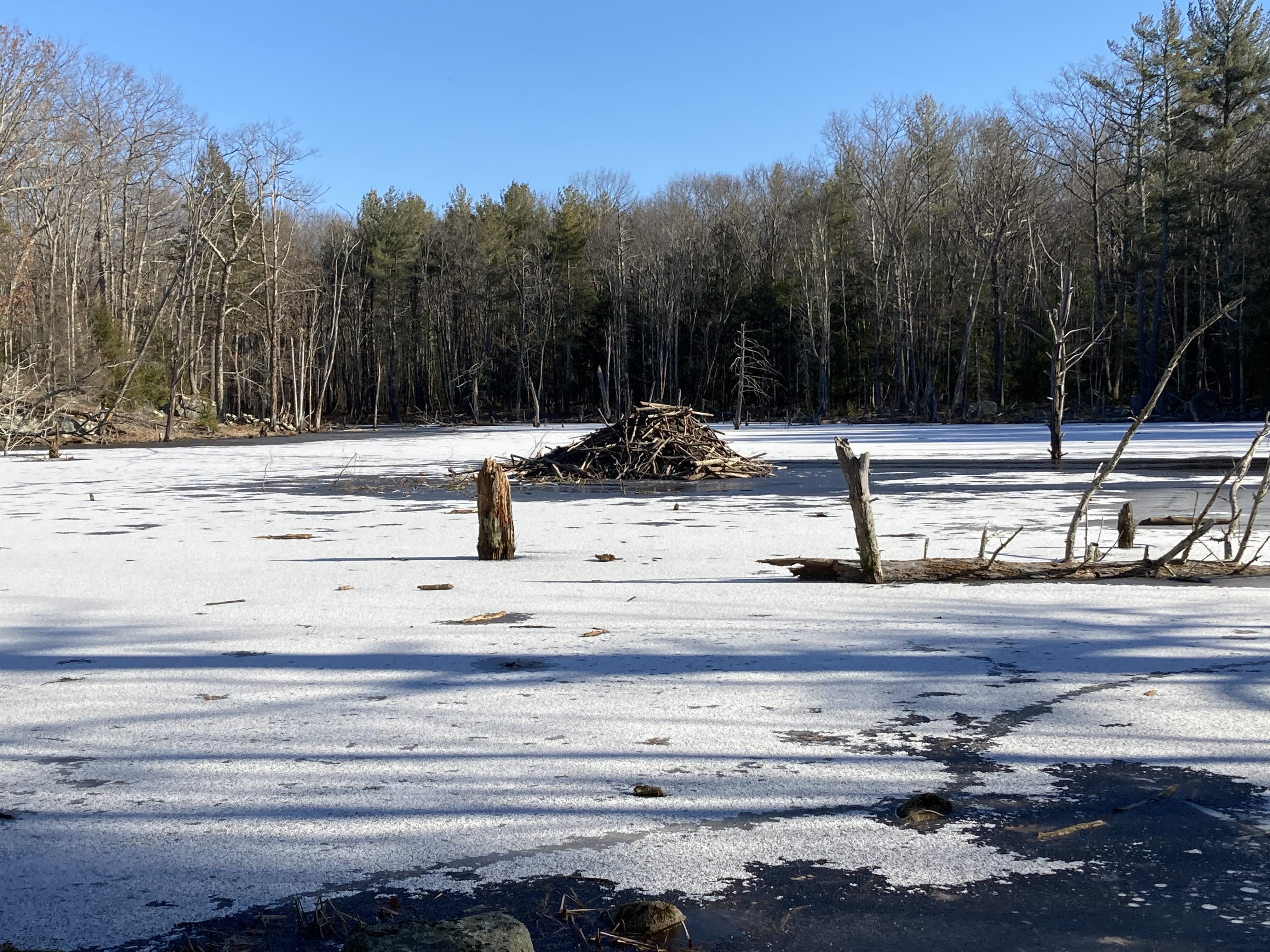
One of the Longmarsh beaver dams
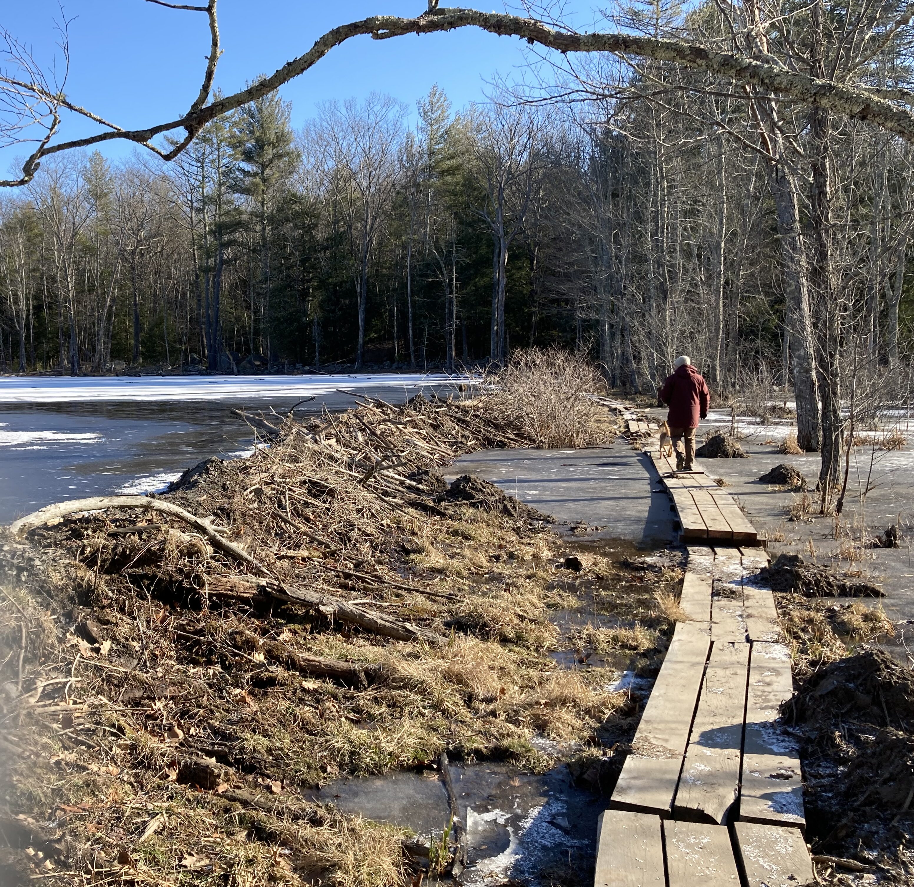
Not only is it supremely accessible to us — it’s on the other side of our neighbrhood — the Longmarsh Conservation Area offers views of multiple ponds held in place by feats of natural engineering that stretch our understanding of how non-humans can alter the environment. One beaver dam in particular should be listed as a modern marvel of the natural world. It is about 100 yards long and four feet high at its deepest point. Kindly bipeds have constructed a boardwalk at the base of the dam so other bipeds can walk along it, our head level with, or only slightly higher than the water in the pond. It gives the impression that you’re swimming without getting wet.
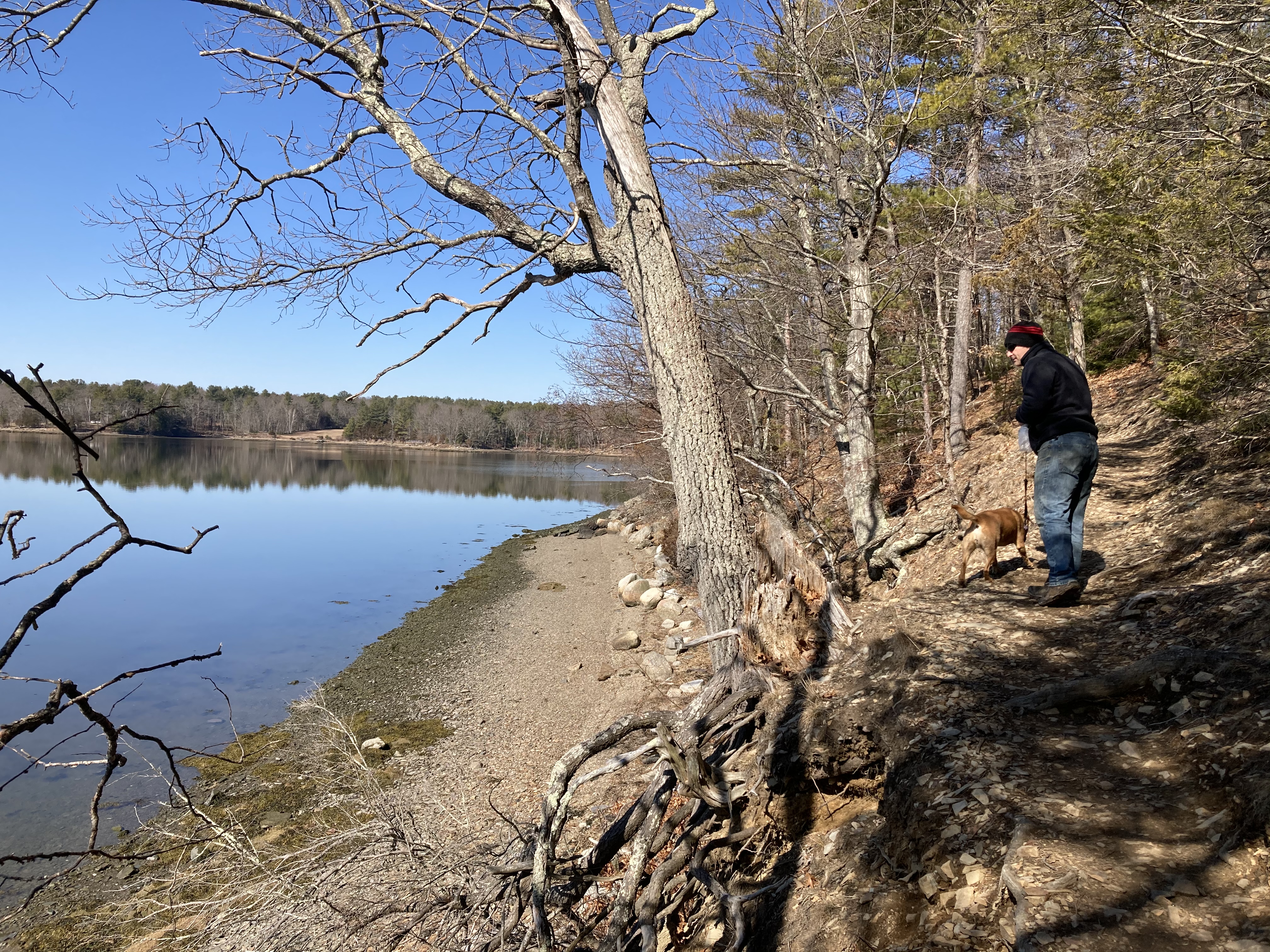
Actually, a full handful of beaver dams lie along the deserted section of Longmarsh Road, including this natural wonder of the world. We also found another
Natural wonder to the left, happy hiker to the right
dam along a side trail holding back the main pond that was visible as we walked in. Beaver lodges dot the waterscape here.
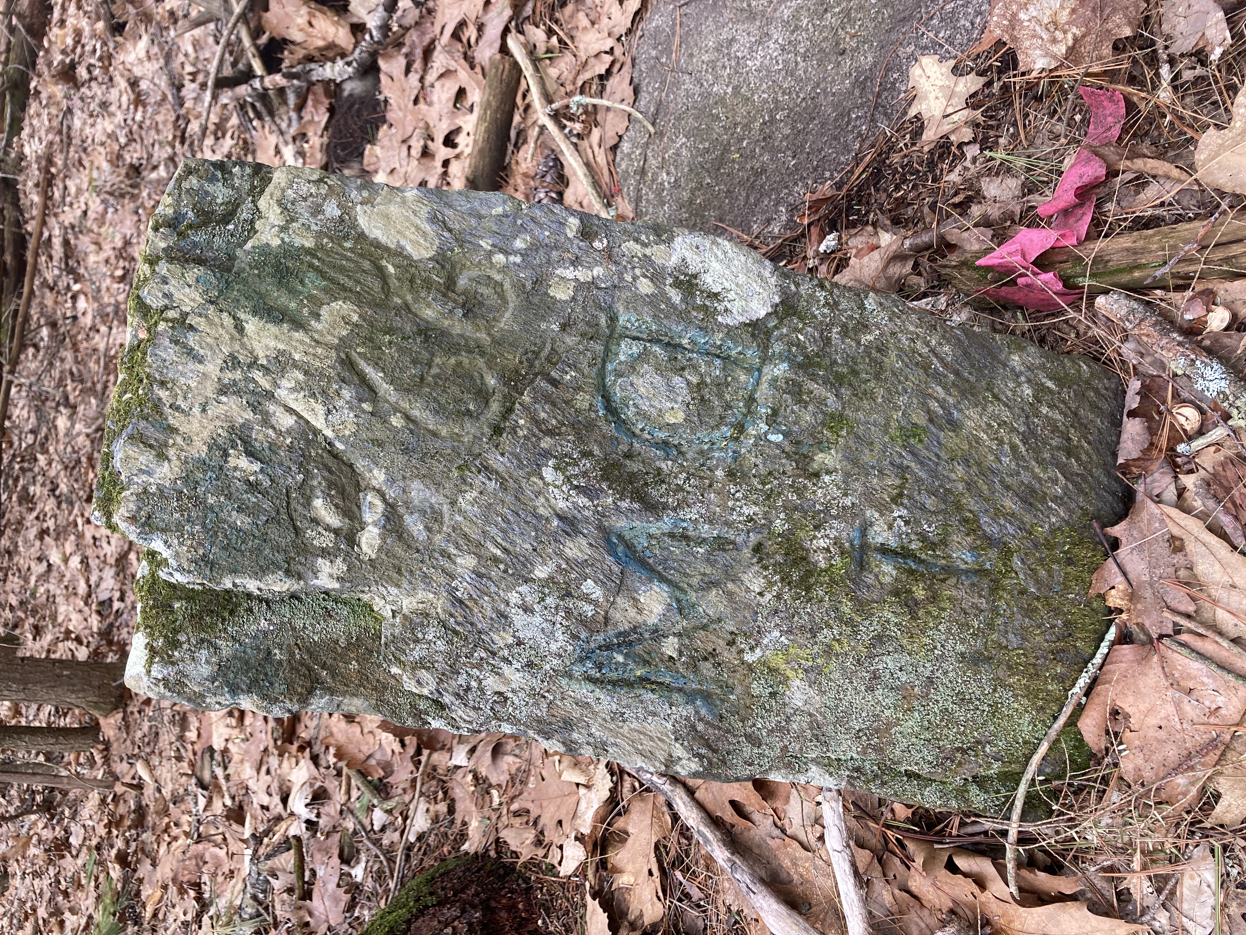
Meanwhile, if you can tear your eyes away from the natural scenes, you might find signs that this is recaptured wilderness. The trail is wide and flanked on both sides by atrophied rock walls. Parallel slabs of granite stand to form an ancient gate opening.
Another side trail brings us to more power lines, after leading us past a few automobiles decaying beside the path. This used to be just another road in town, with homesteads, yards, pastures and families. Longmarsh Road used to connect Route 108 with Durham Point Road. 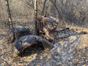 Each end still represents a modern road (some of it even paved) with modern homes; but this middle stretch is gated off and open to foot and bicycle traffic only. The forest closes in on the edges of the old road and the beaver ponds encroach on the original flow of the path.
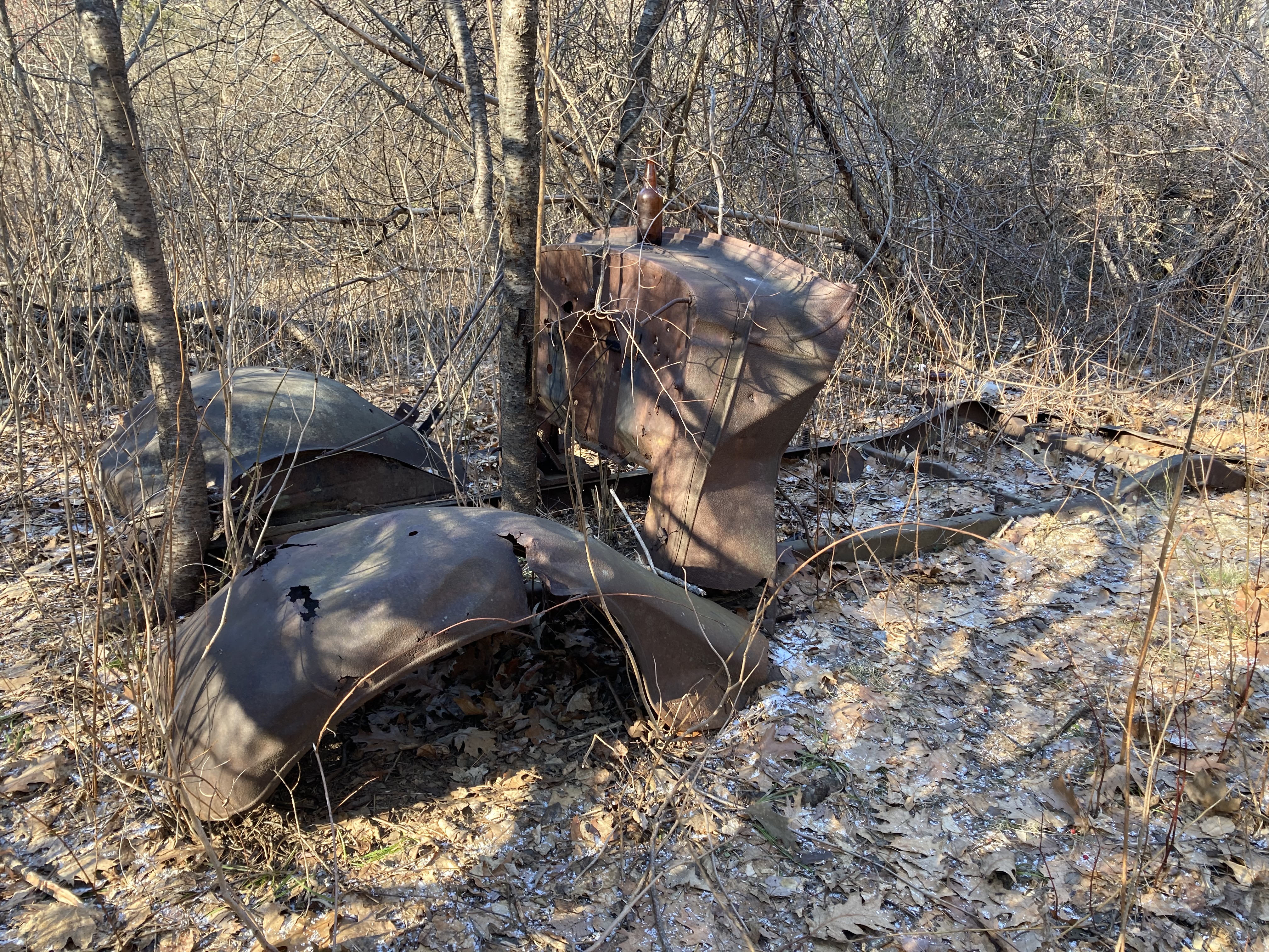
On the return swing of the second side path, we found another rusting car and the foundation hole of an otherwise disappeared house. A swath of bottles, cans, and metal tools surrounds the foundation, and has just about completed the transition from trash pile to archaeological site.
I jogged this path a few dozen times last summer, but I’m happy we took the time to walk it again and look at it closely.

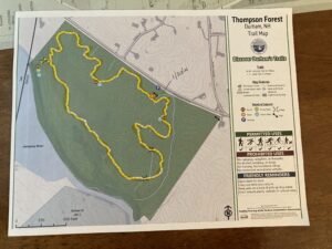
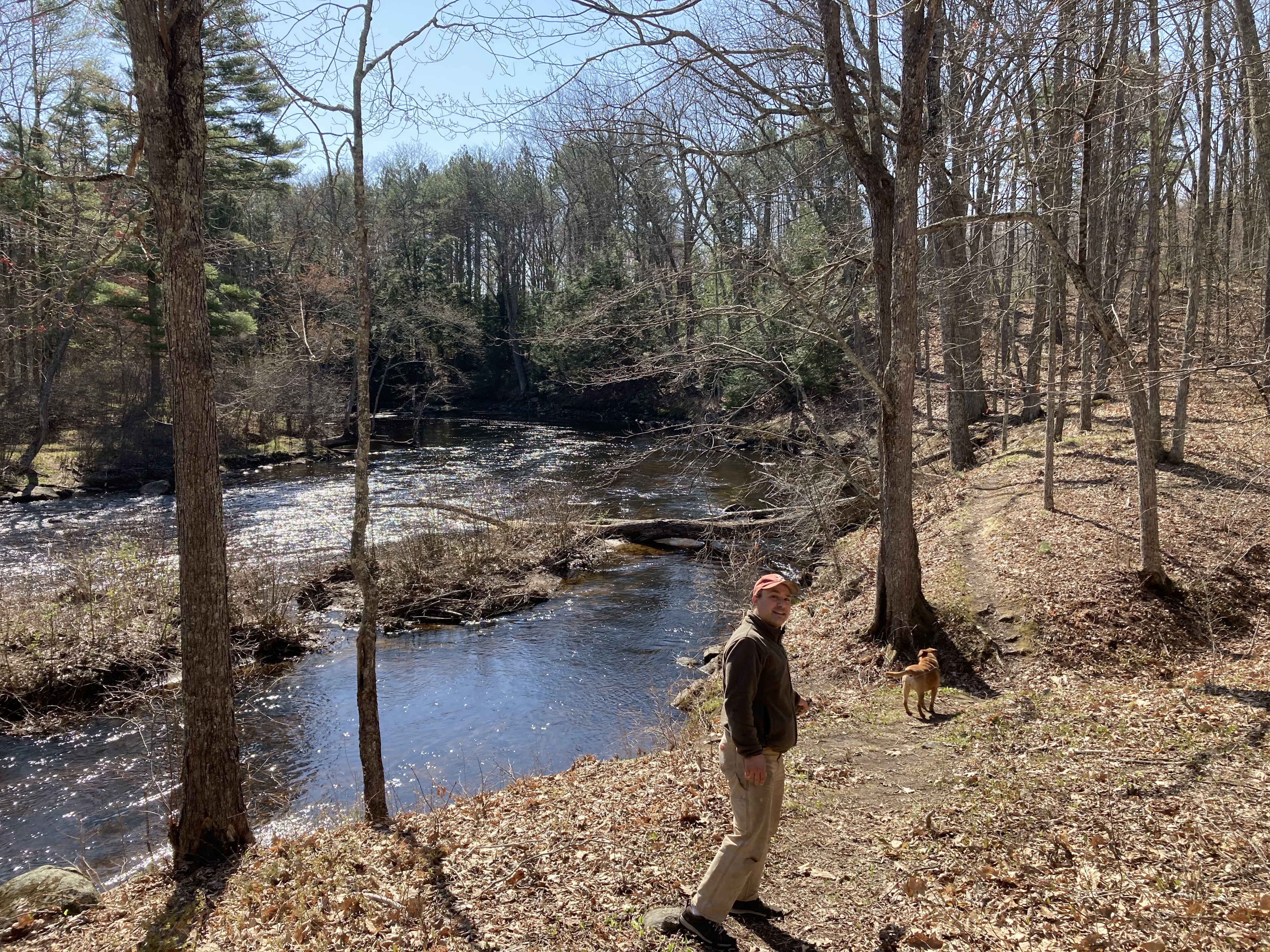
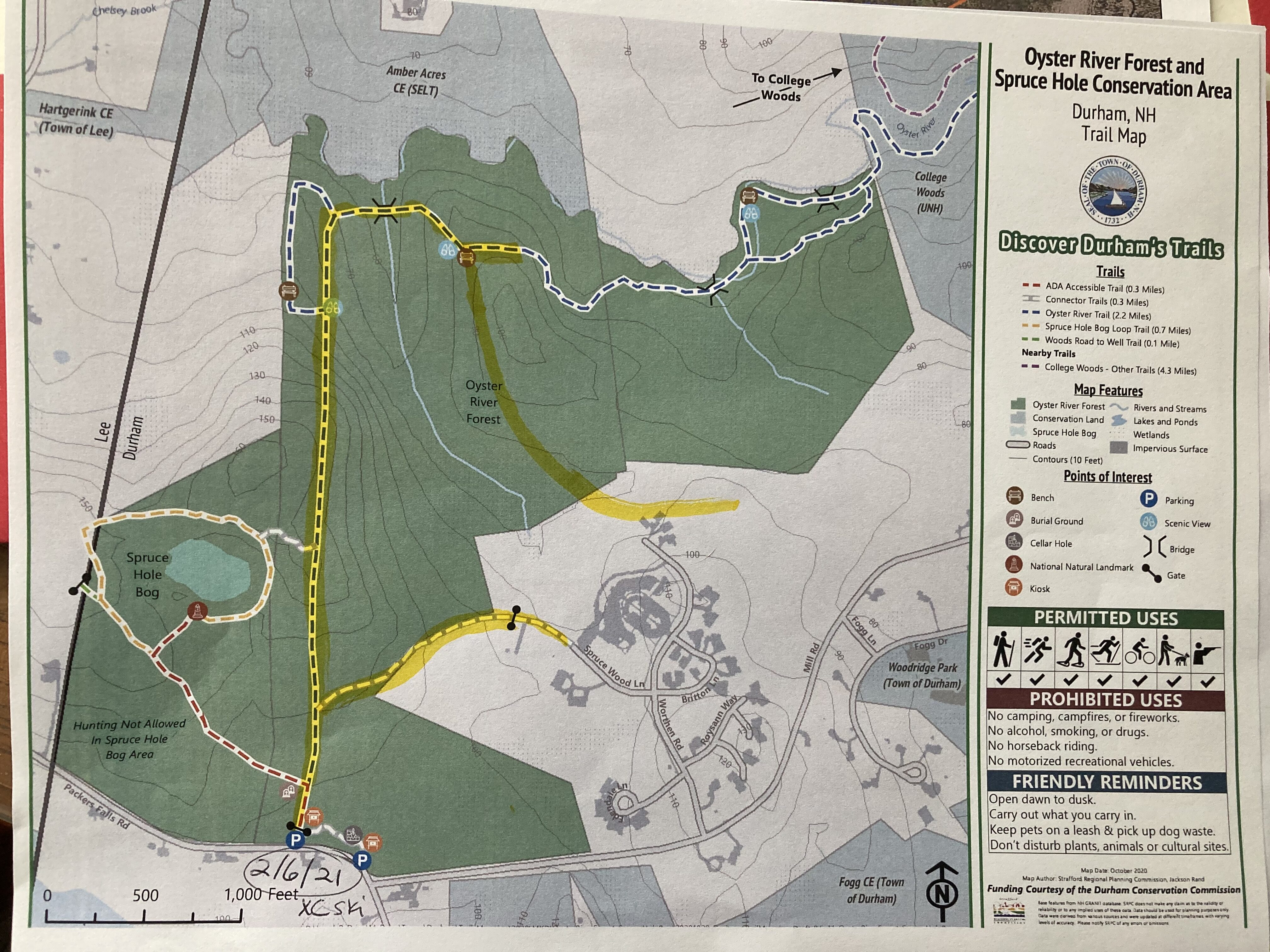
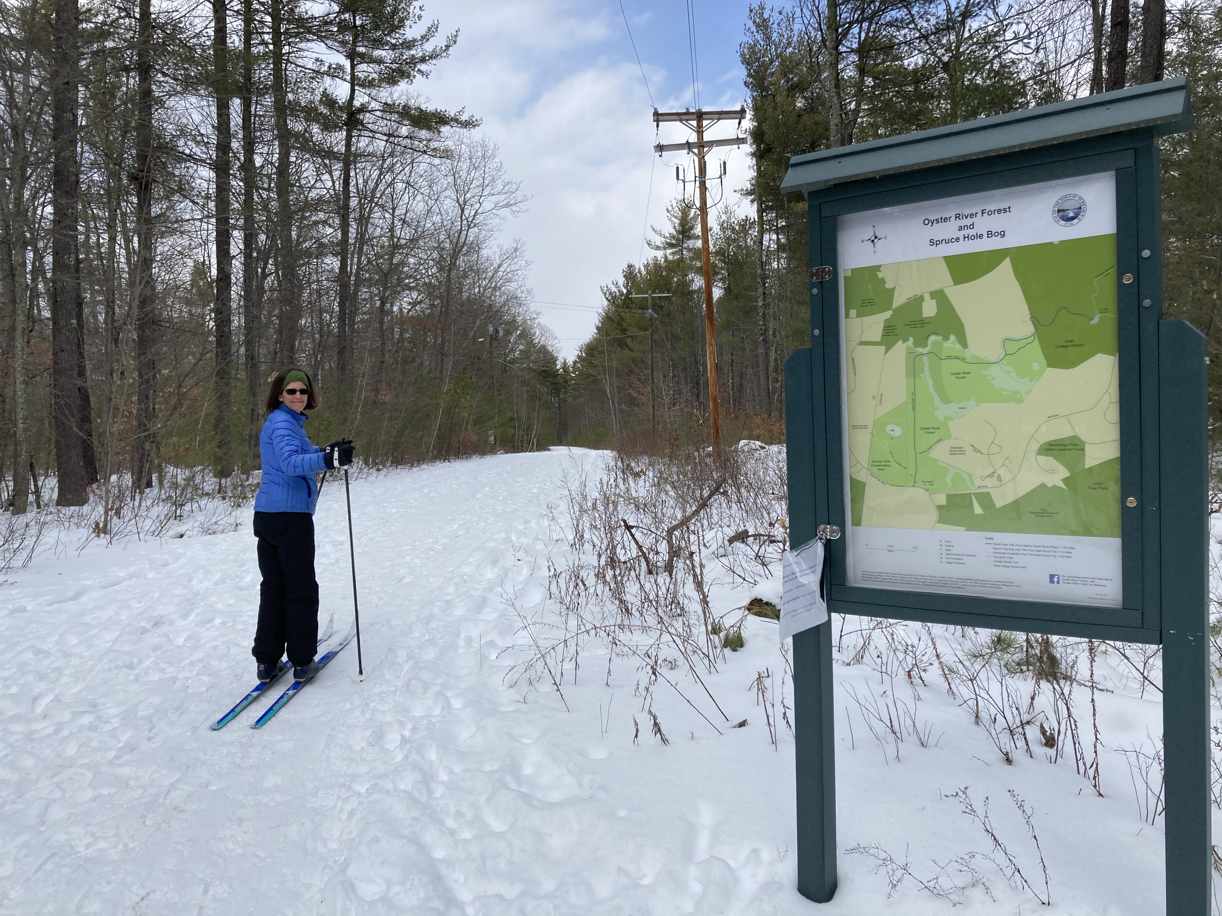
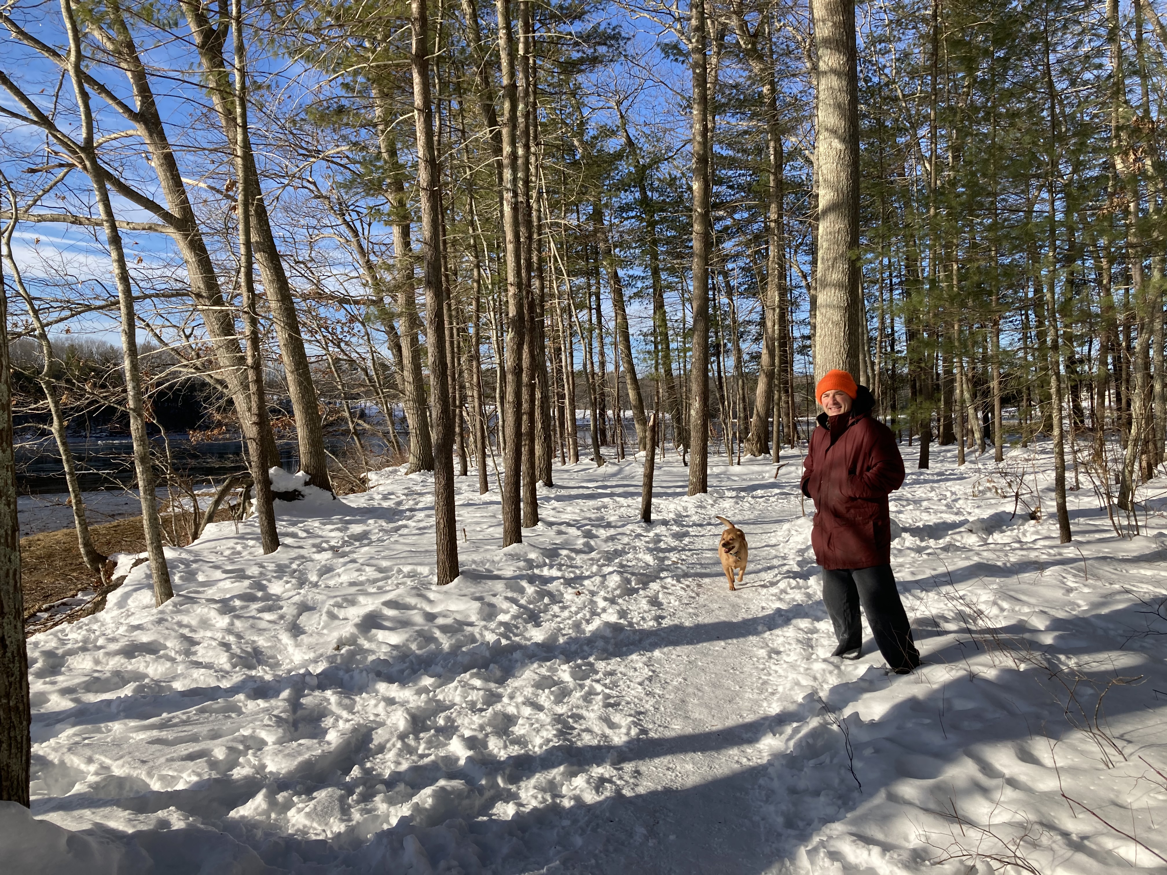
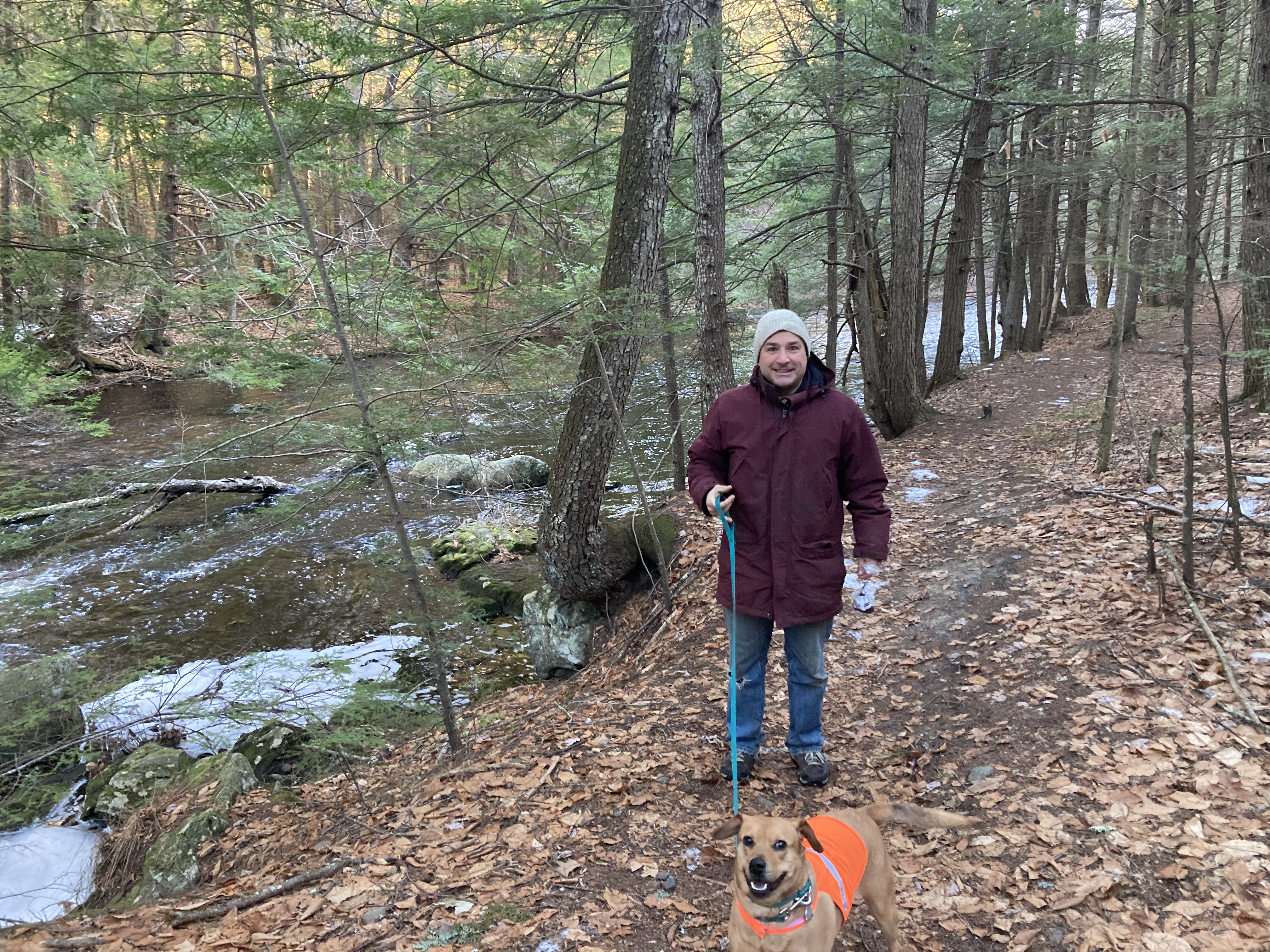
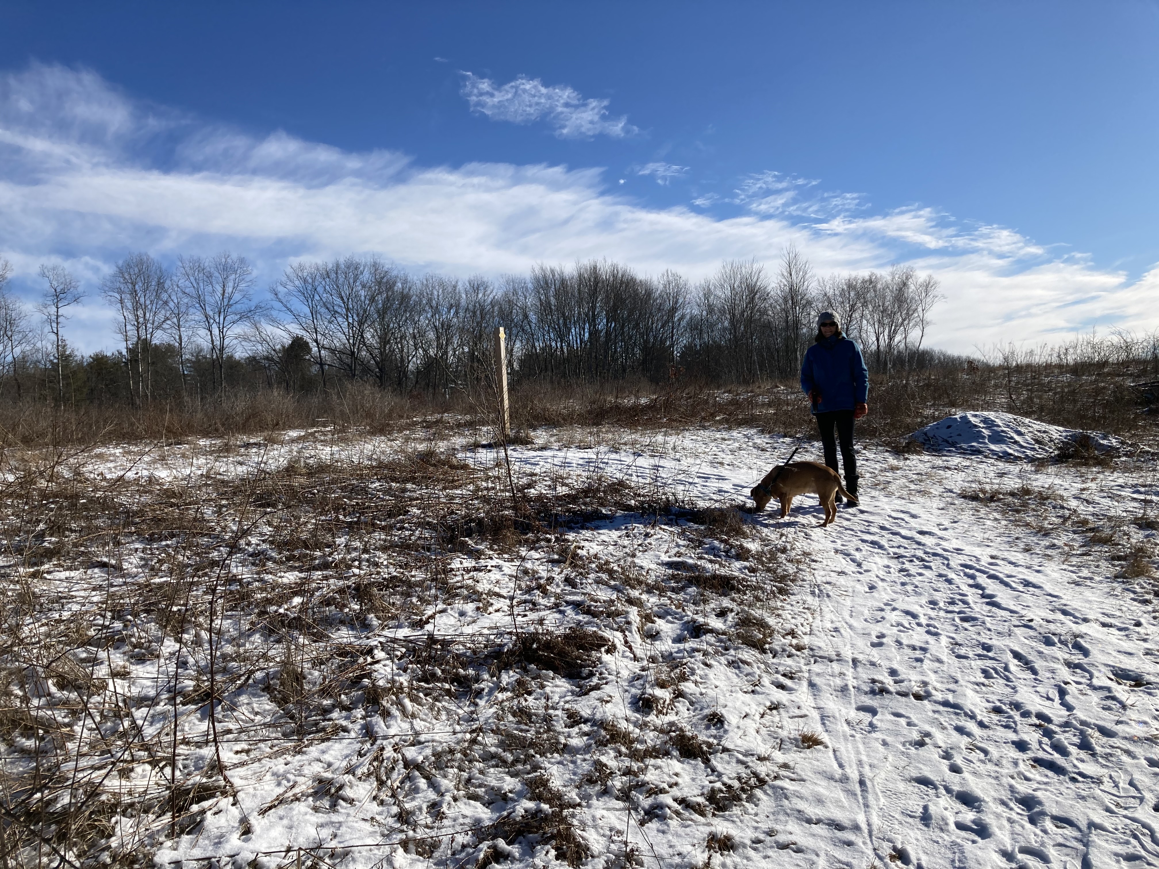
Janury 30, 2021, Thompson Forest
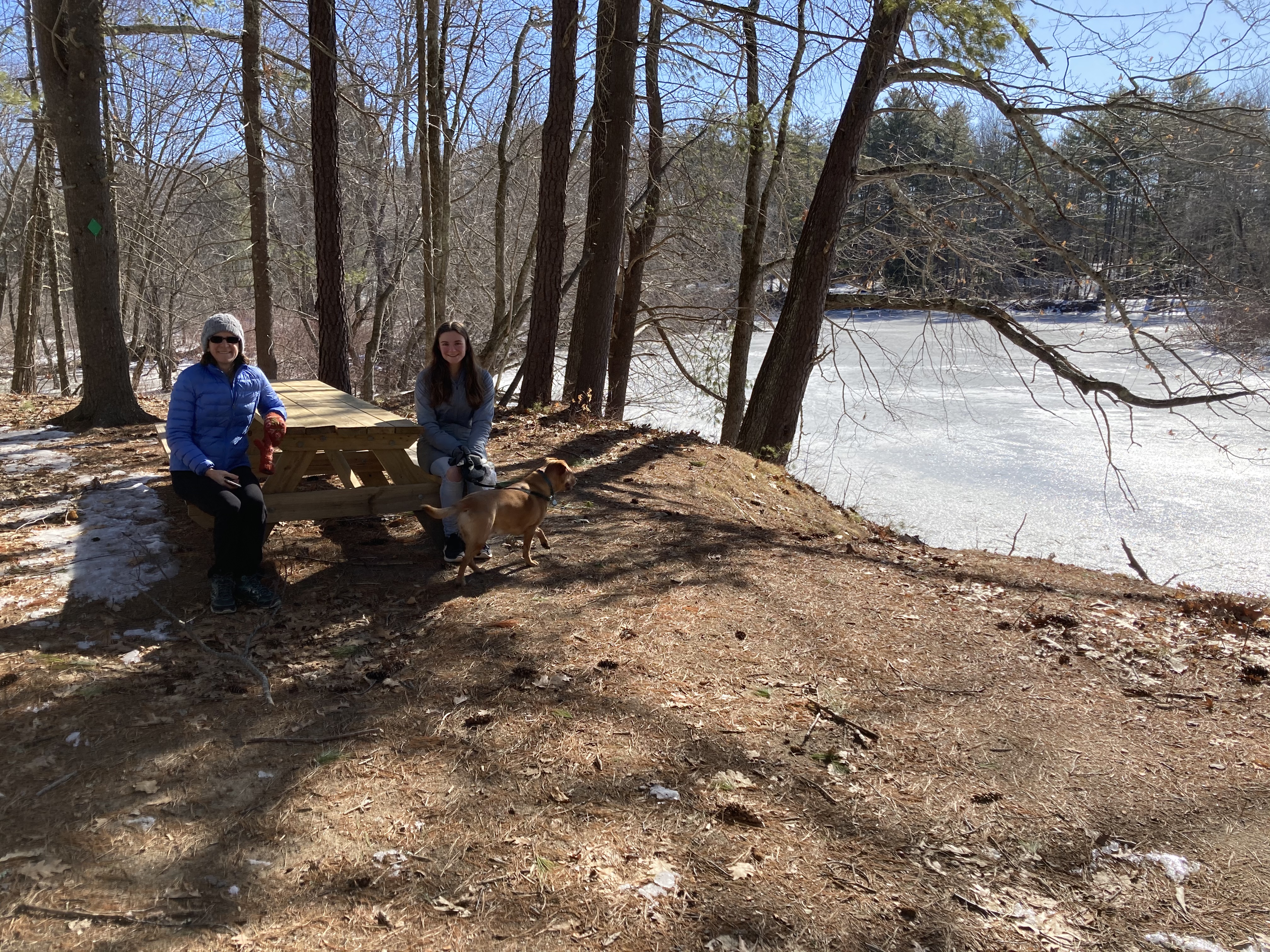
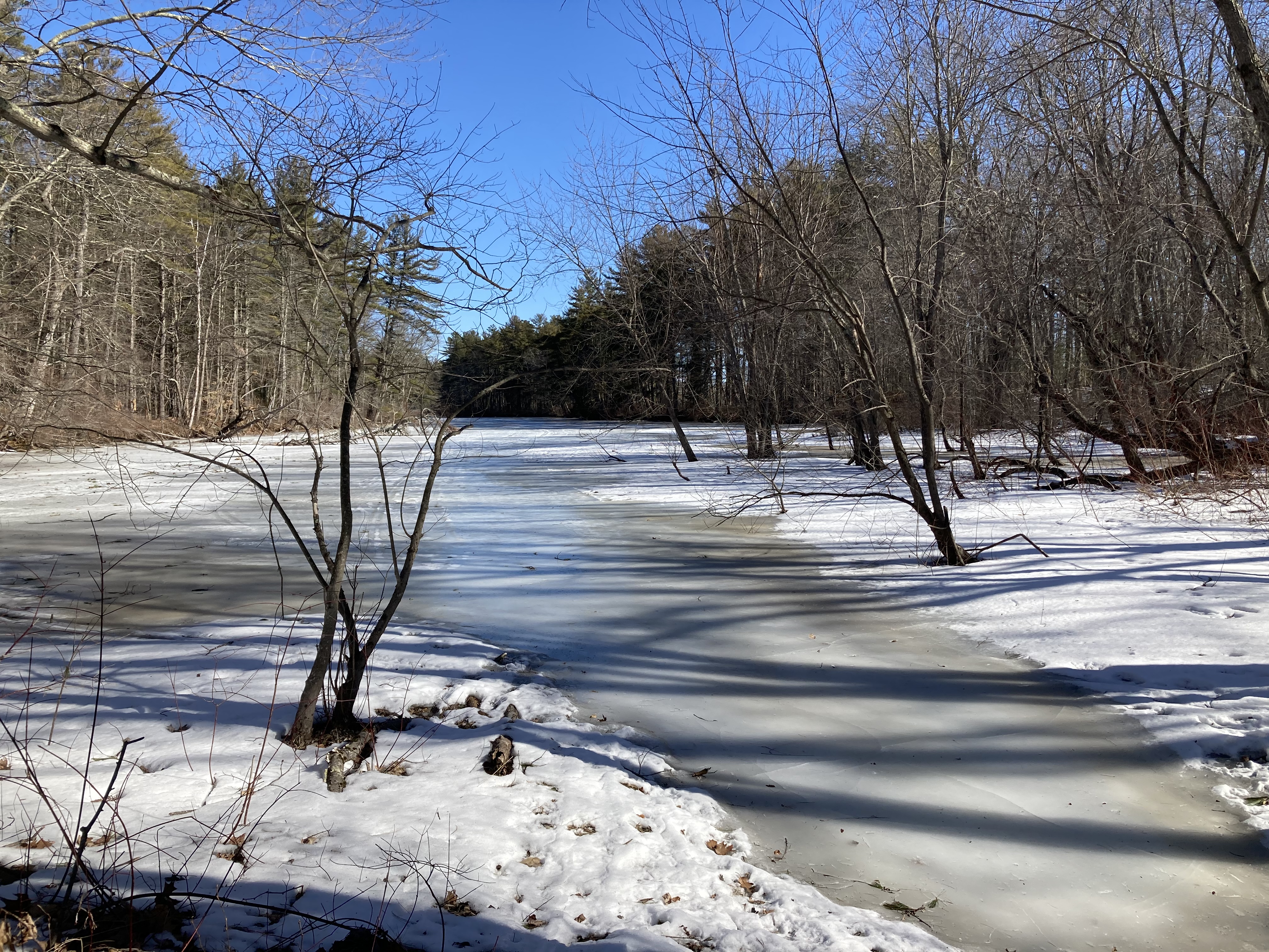
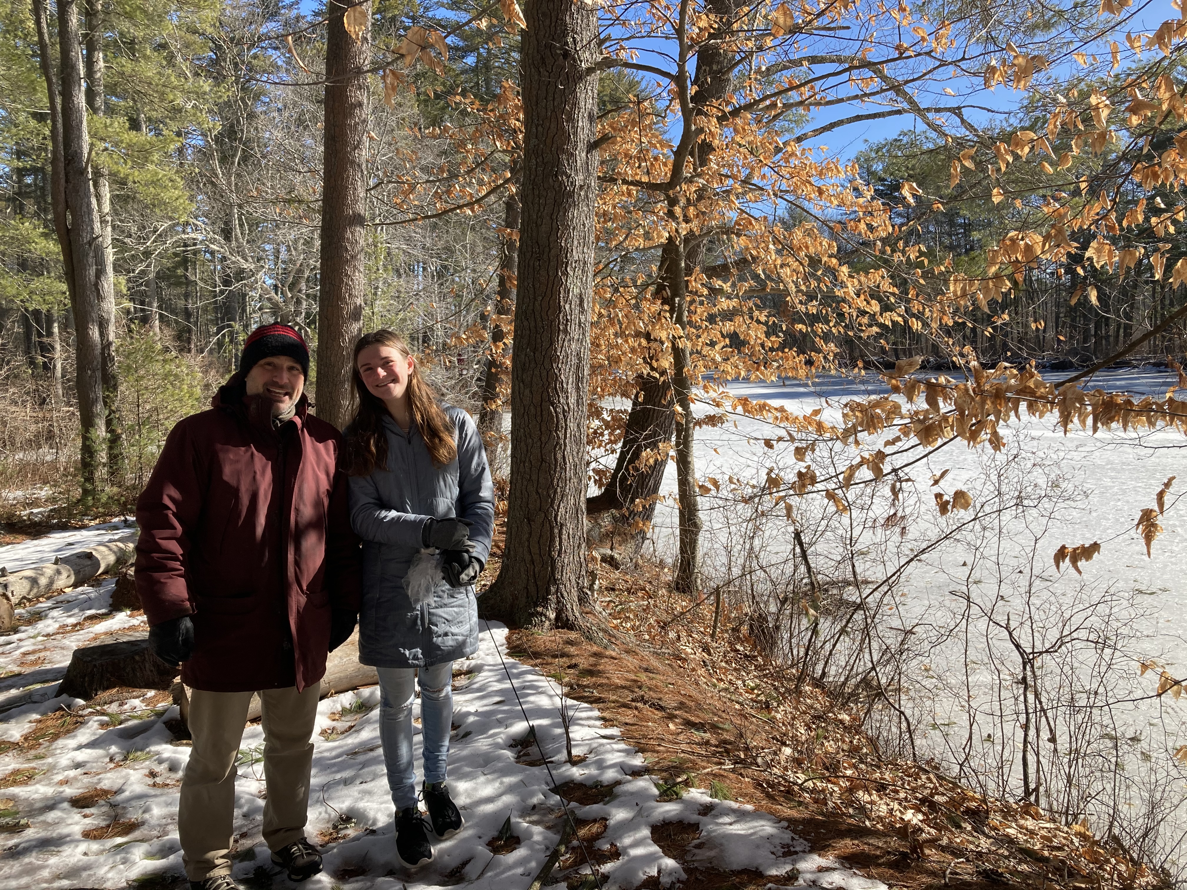
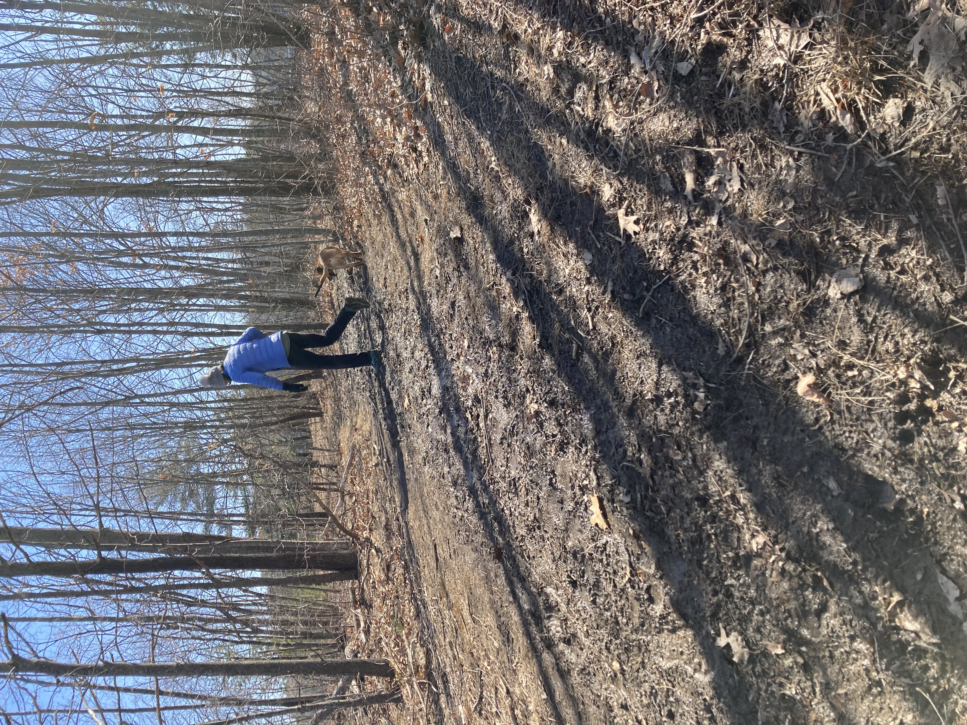
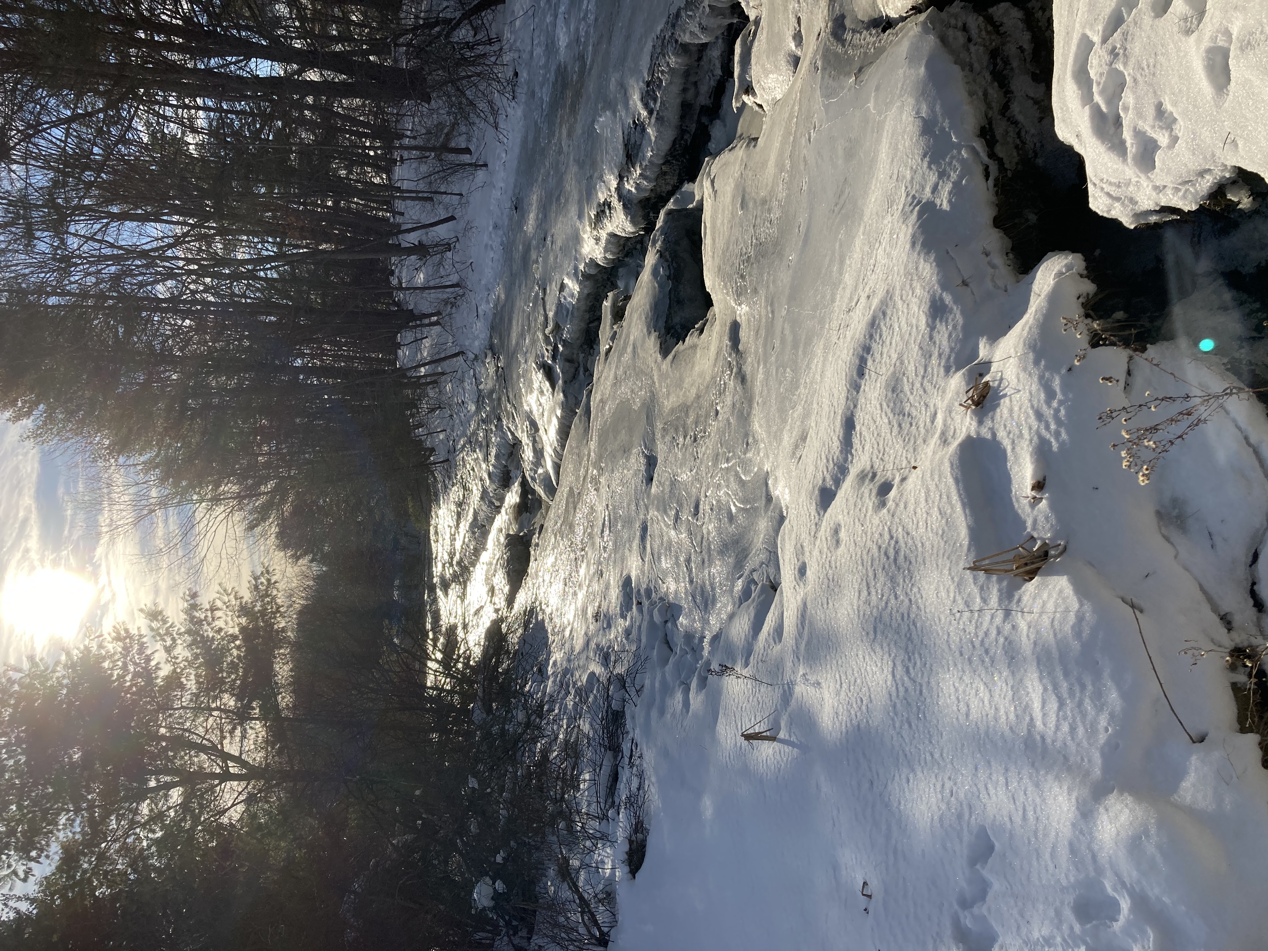
 After some of our hikes have turned into trailblazing, bushwacking affairs, it’s nice to just circum-navigate a simple loop. Thus, the appeal of Thompson Forest off Wednesday Hill Road (especially on a very cold day where we didn’t want to have to keep stopping to pull our phones out of our pockets). It was a little more than a loop, actually. There was a short spur that brought us to a nice picnicking spot on the shore of the Lamprey River. It was more of a Q than a O.
 But it was pretty simple to follow, with not a lot of chances to go wrong. We started in an open, stubbly field and wound around into woods, catching a glimpse of the river through the trees.
The trail was clearly marked, even if the map was deceptive. In parts of the walk, we were closer to the river than the diagram might have suggested.
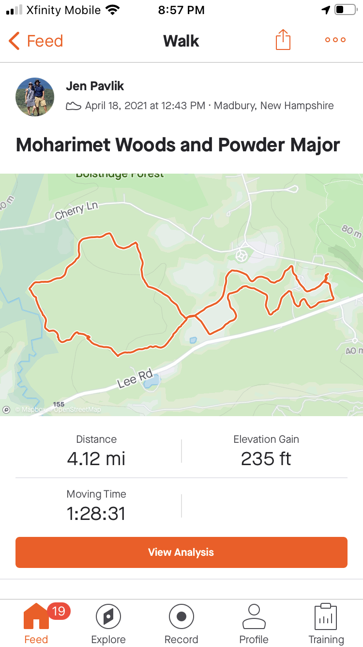
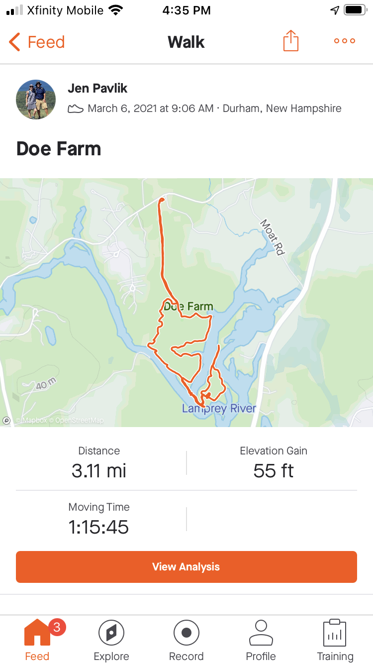
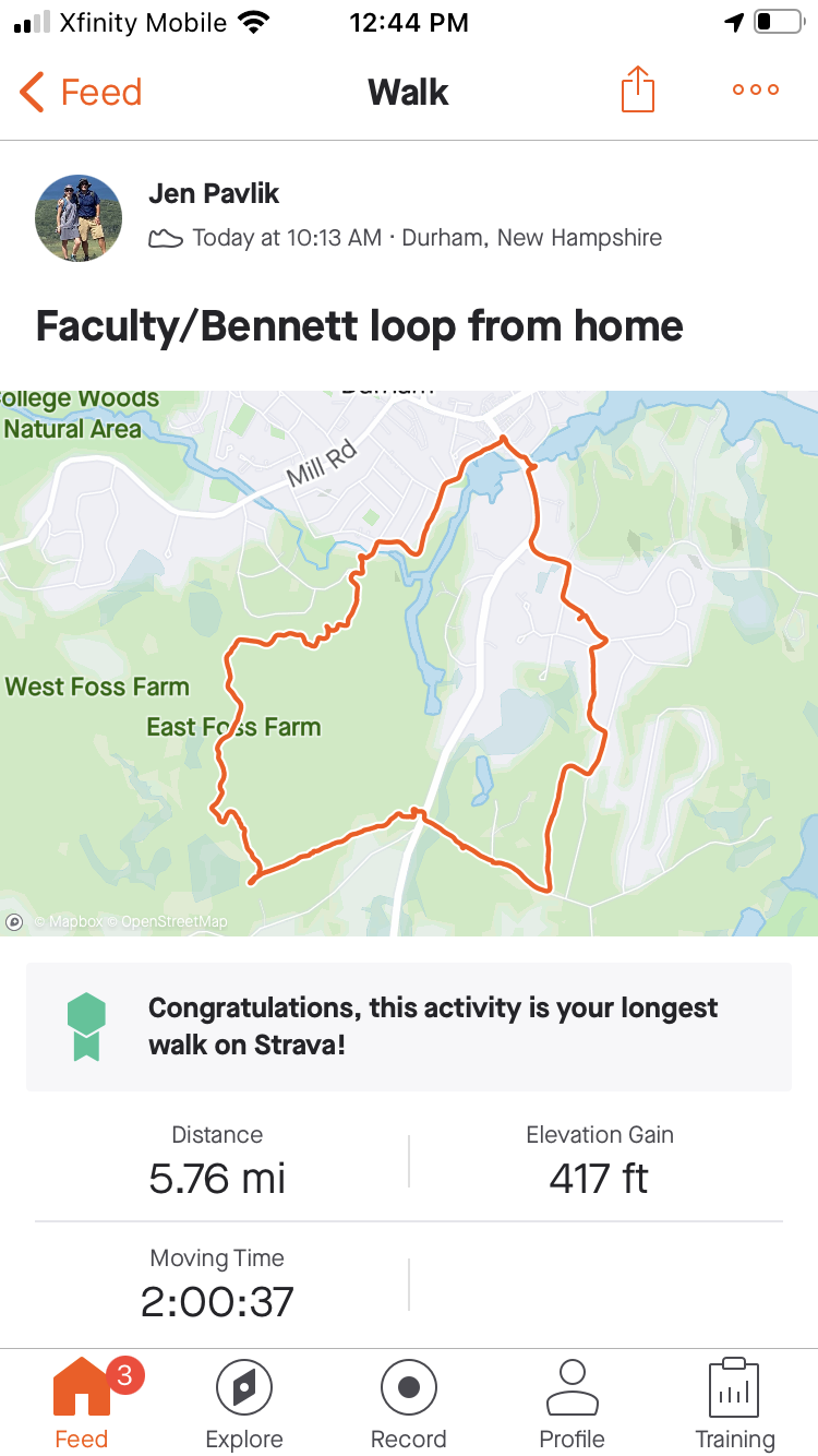
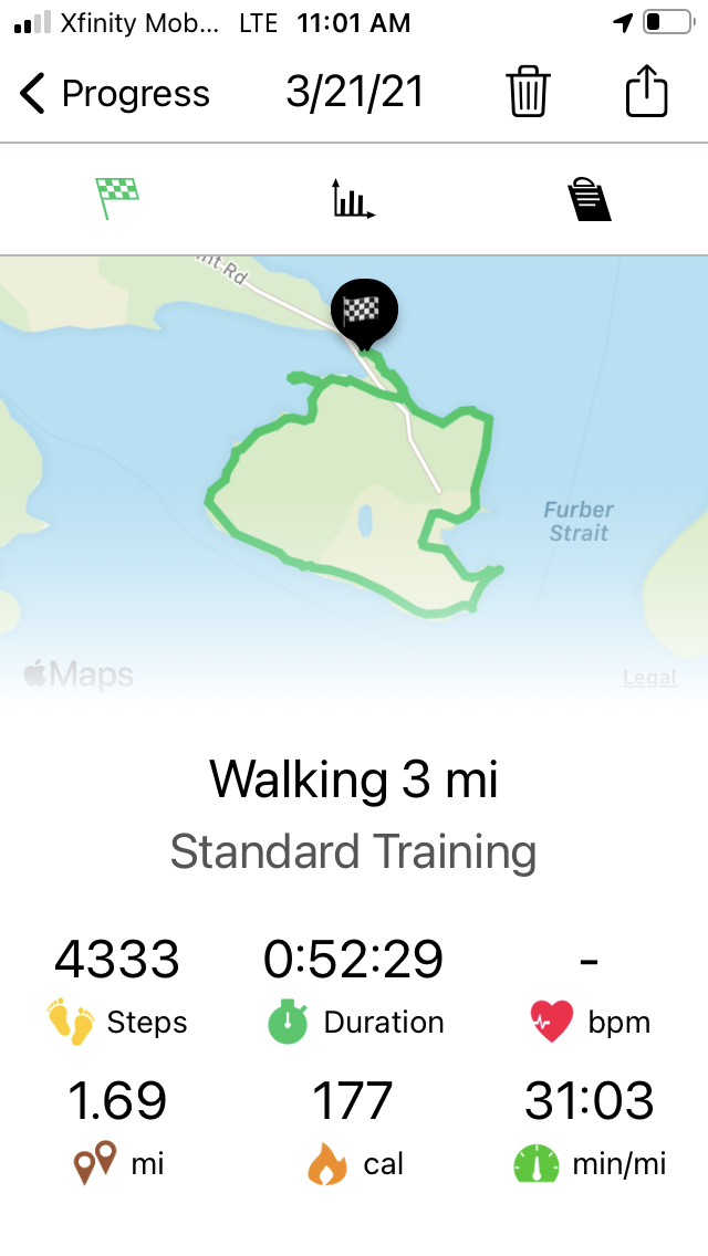
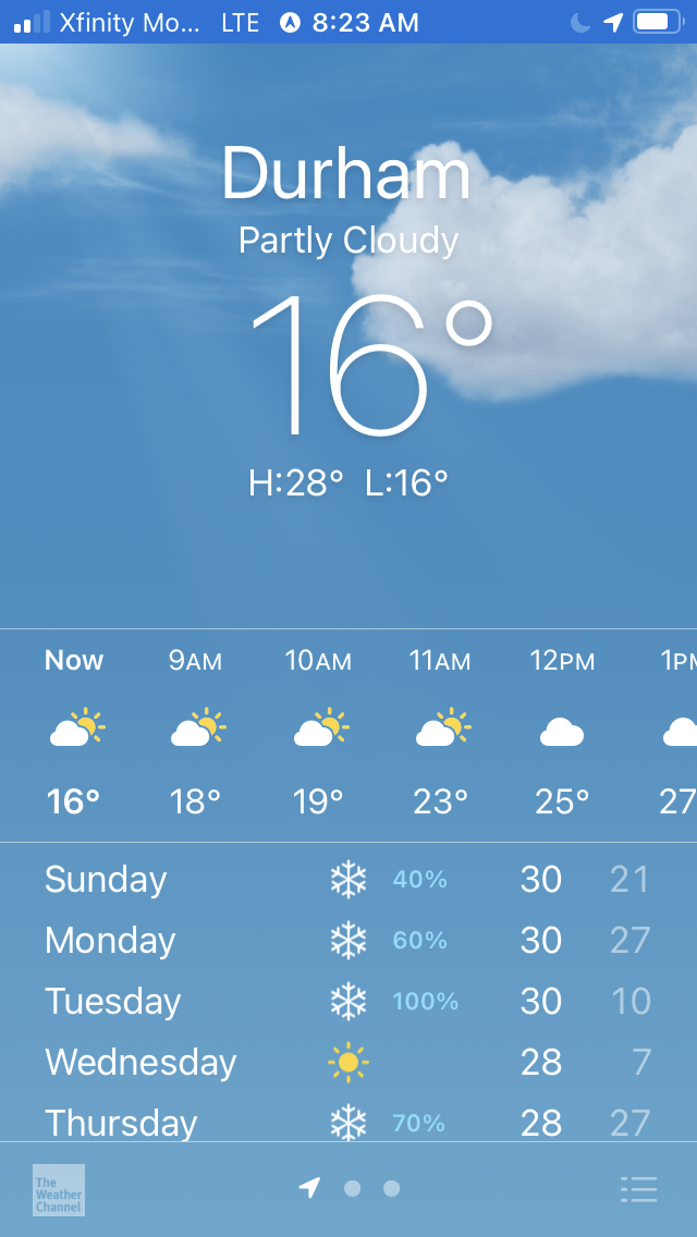
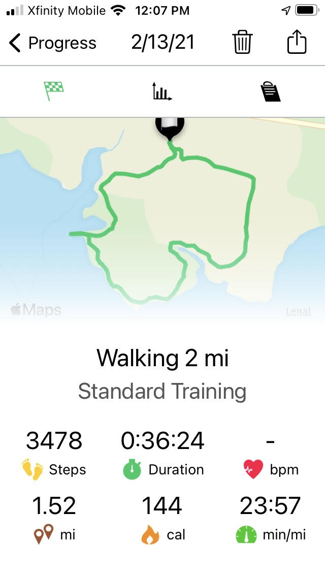
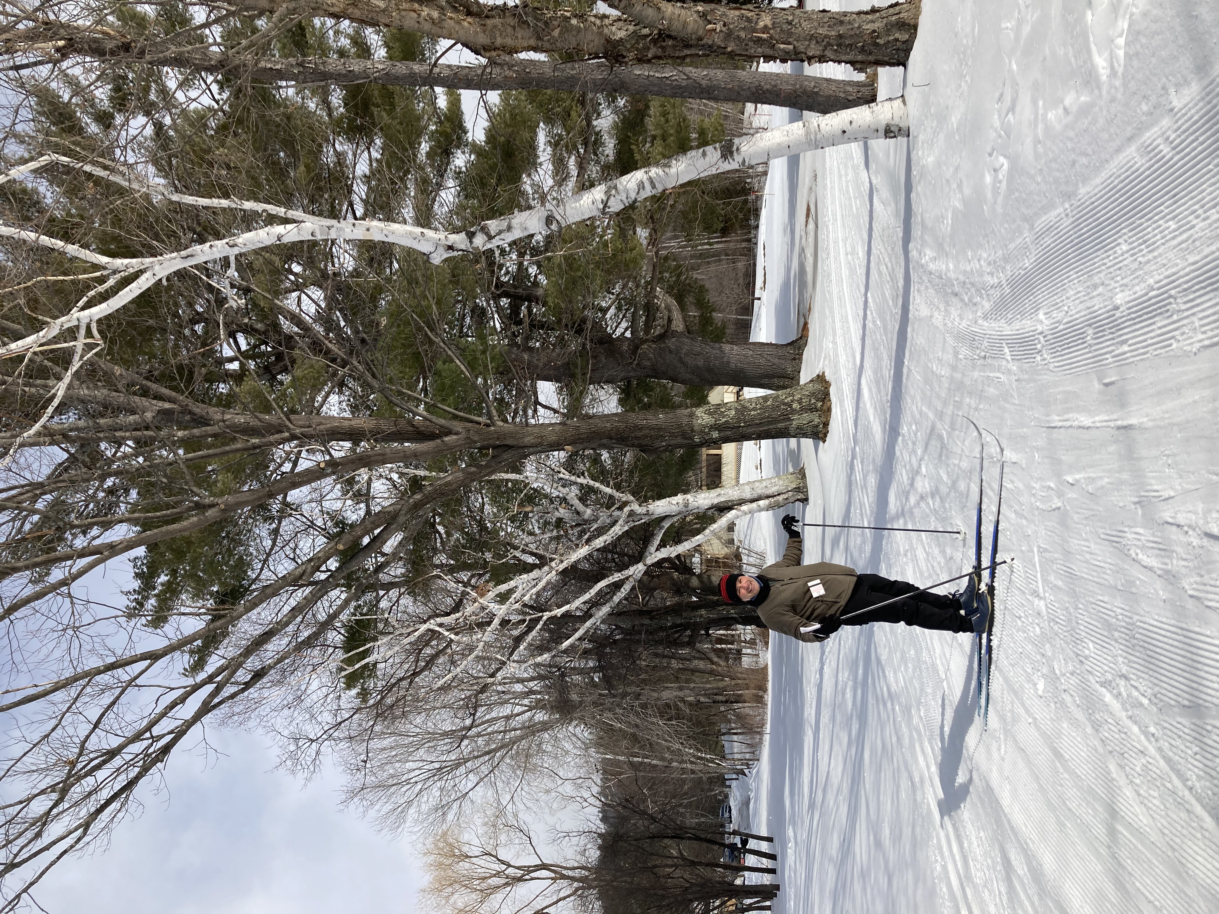
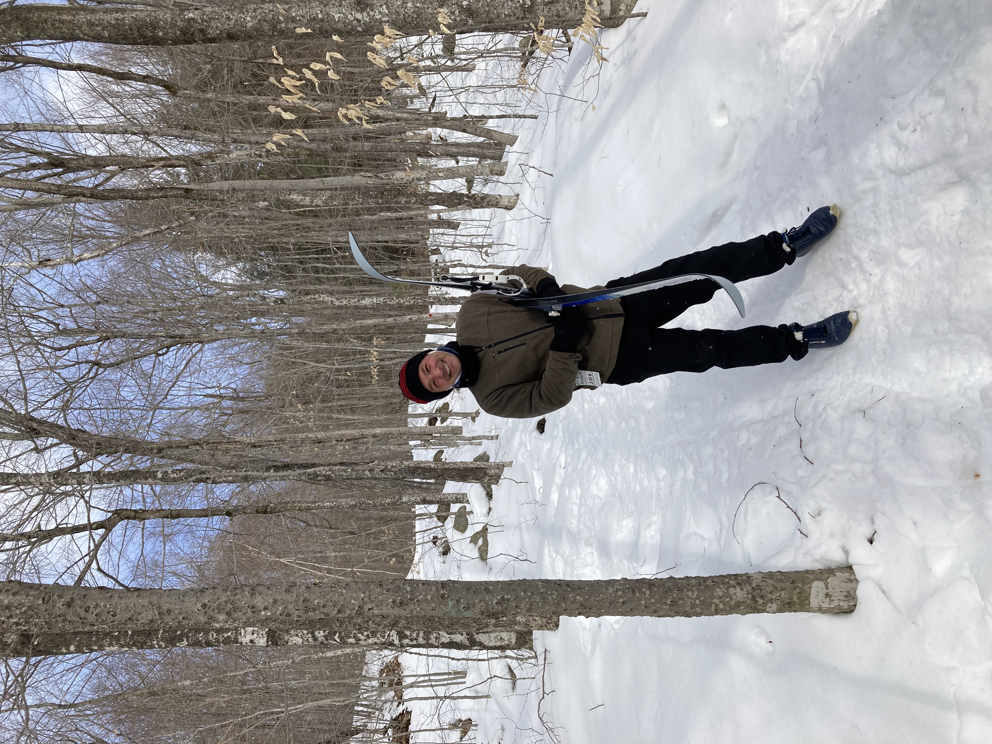
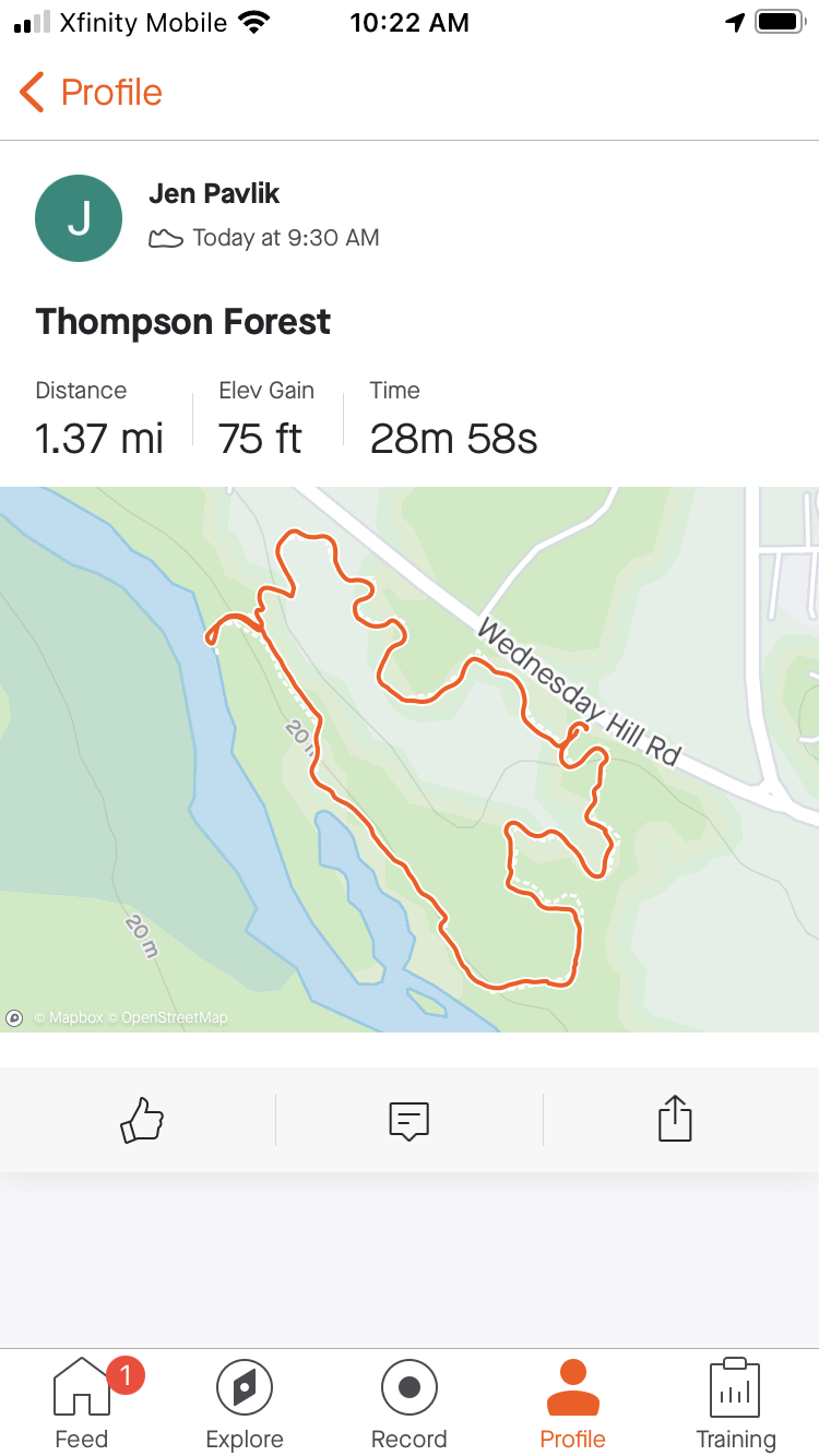
Today we were aided by gps and cell phone technology. Each of us downloaded a different app to help us track our travels. After spending so much time on (or trying to reacquire) the trails, we thought it would be a good idea to use something that could map our wanderings and maybe even tell us how far we had walked. We were pretty sure something like that existed, and we hoped we’d be able to have it at our disposal without having to pay a monthly subscription fee.
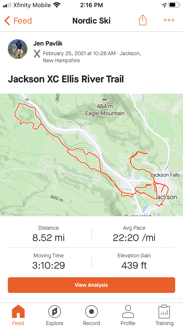
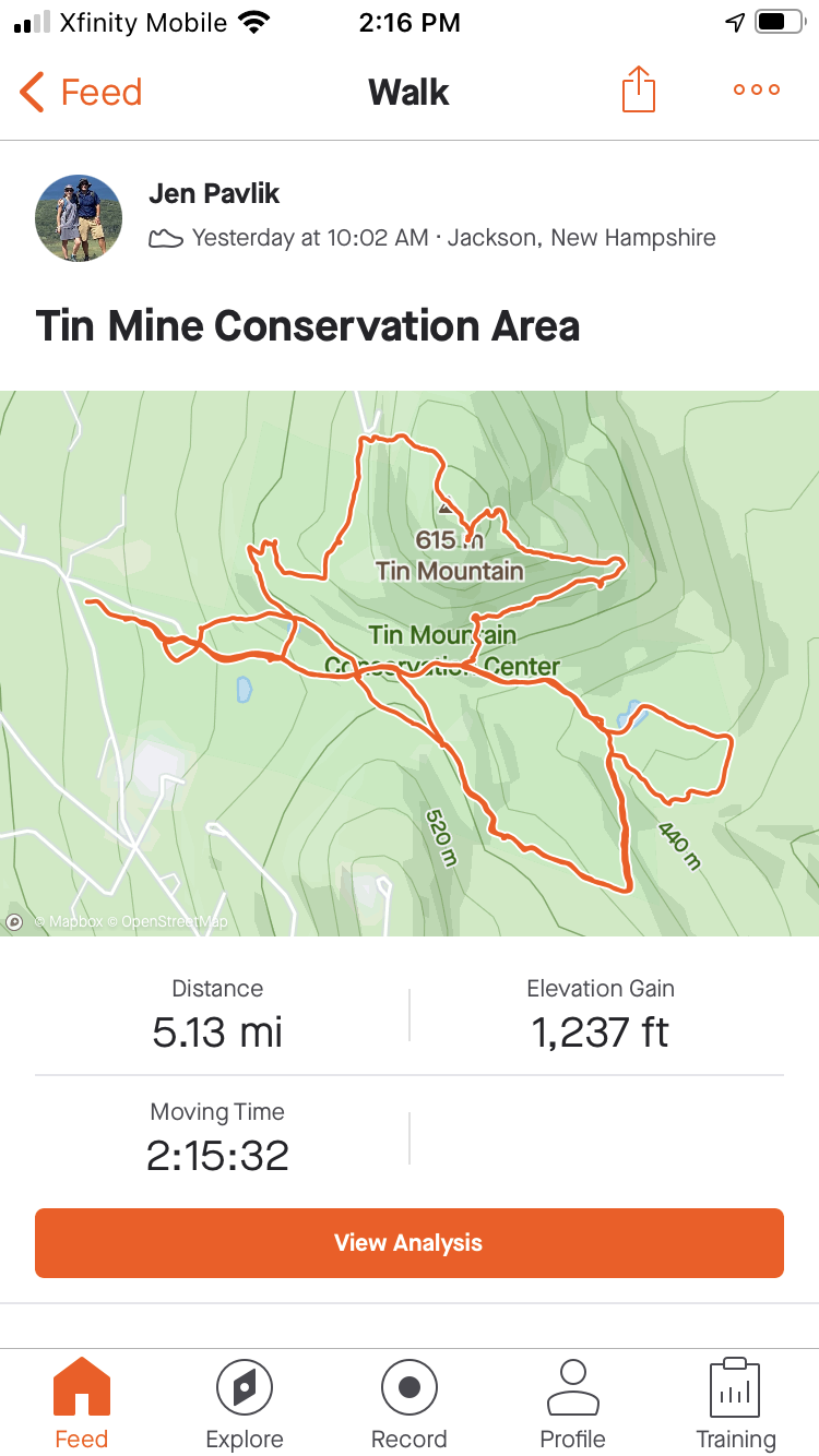
It turns out, we found two apps whose free versions fit our needs:
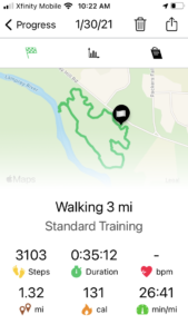
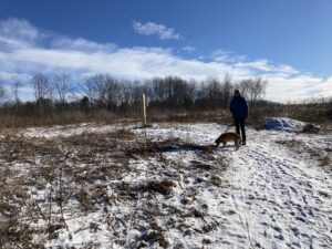
Still on the trail
Both apps track walking distance and keep a gps-rendered trail of or path. Both apps also could be used to track biking trips. Bob’s app, which is called Map my Goals, is pictured above on the left. It has the benefit of counting our steps. Jen’s app, called Strava, records altitude change and features a base map that recognizes the trail we were walking on. This last feature, which allows us to see the trail we’re supposed to be walking on and our progess in real-time, seems much better than our usual practice of taking a picture of the the map on our phone and referring to it when we got confused in the woods. It was very helpful to see the trail — and any intersecting trails in the area, along with our  location. Strava wins out in the head-to-head comparison, for our needs, at least.
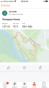
And with that, I can confidently say that we spent a nice 35 minutes or so walking 1.37 miles on this day. We didn’t fall in the river and we didn’t stray too far from our trail. And we even found a picnic spot for next summer. Seems like a successful day.
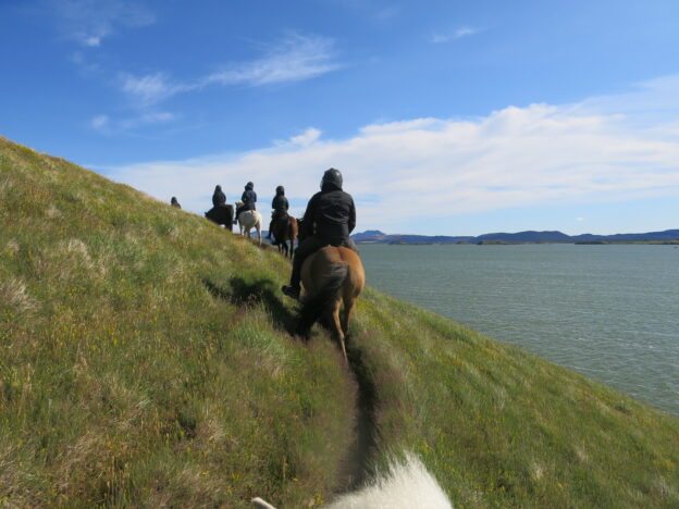
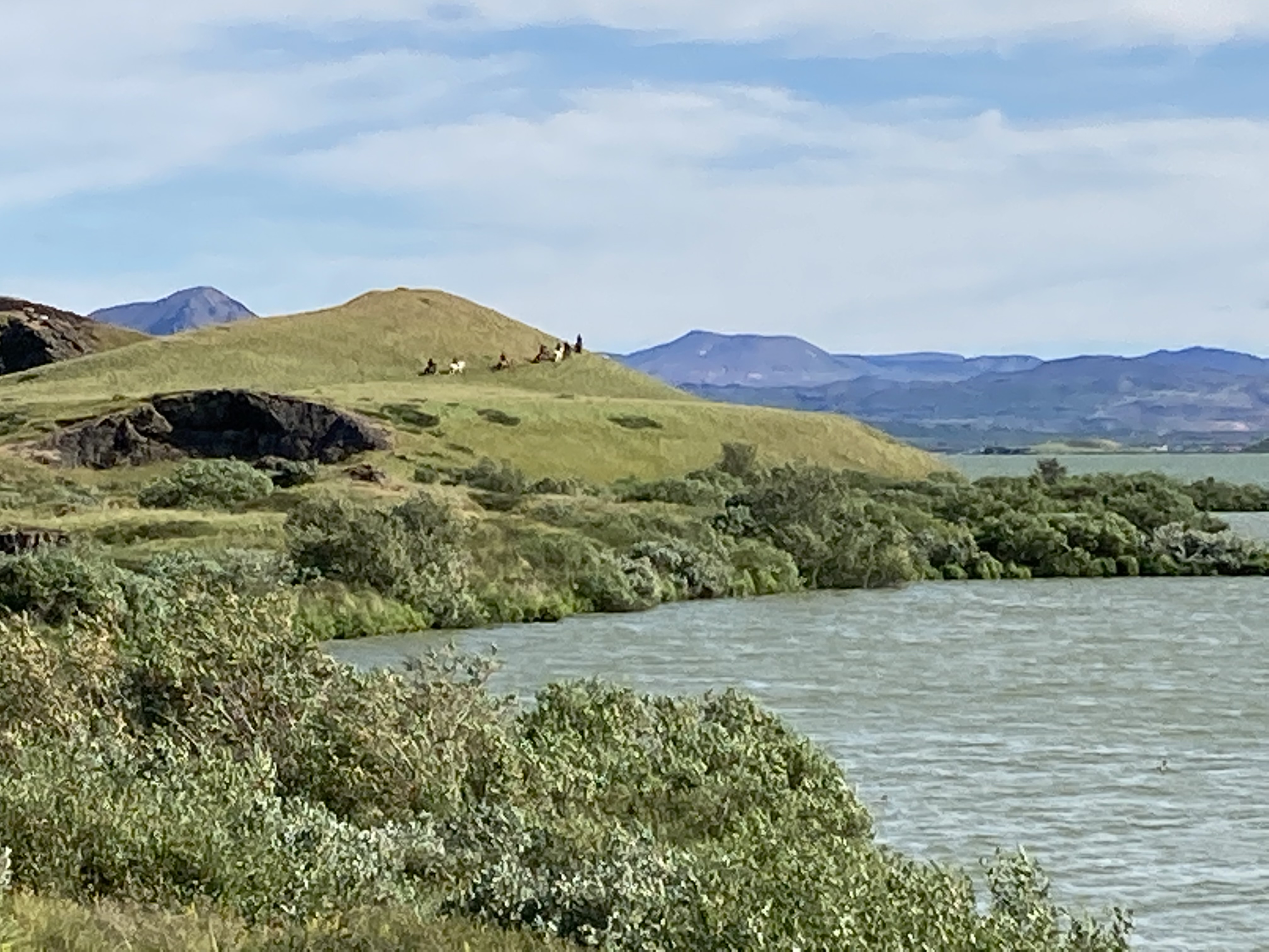
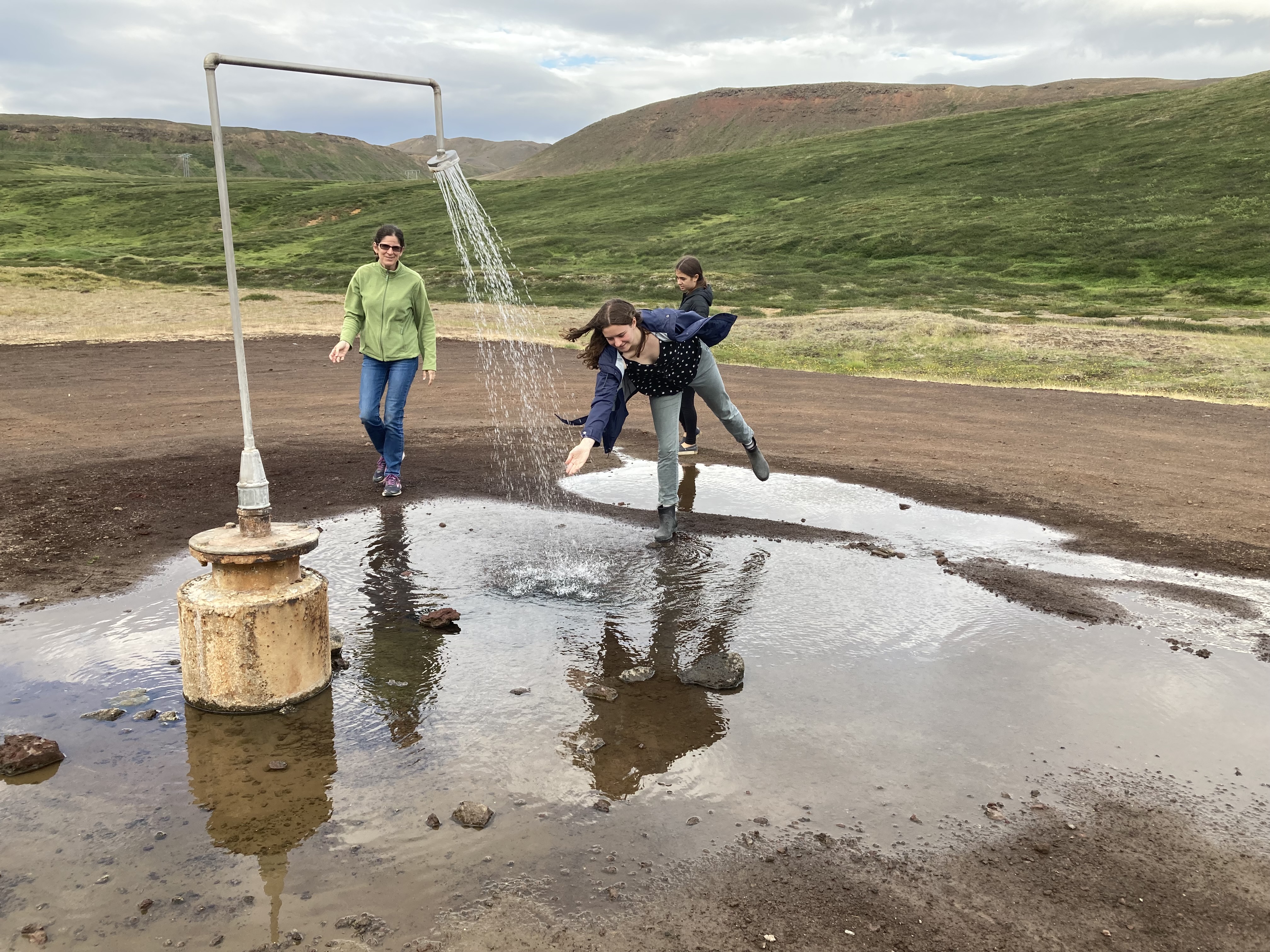
 As Bob mentioned yesterday, we ended up canceling our 4 pm horseback ride due to the rain (which my iPhone told me was going to last for hours, but which actually cleared up about two minutes after I made the phone call). All was not lost, however, because we had a little extra time this morning and were able to squeeze in a 10 am ride before hitting the road.
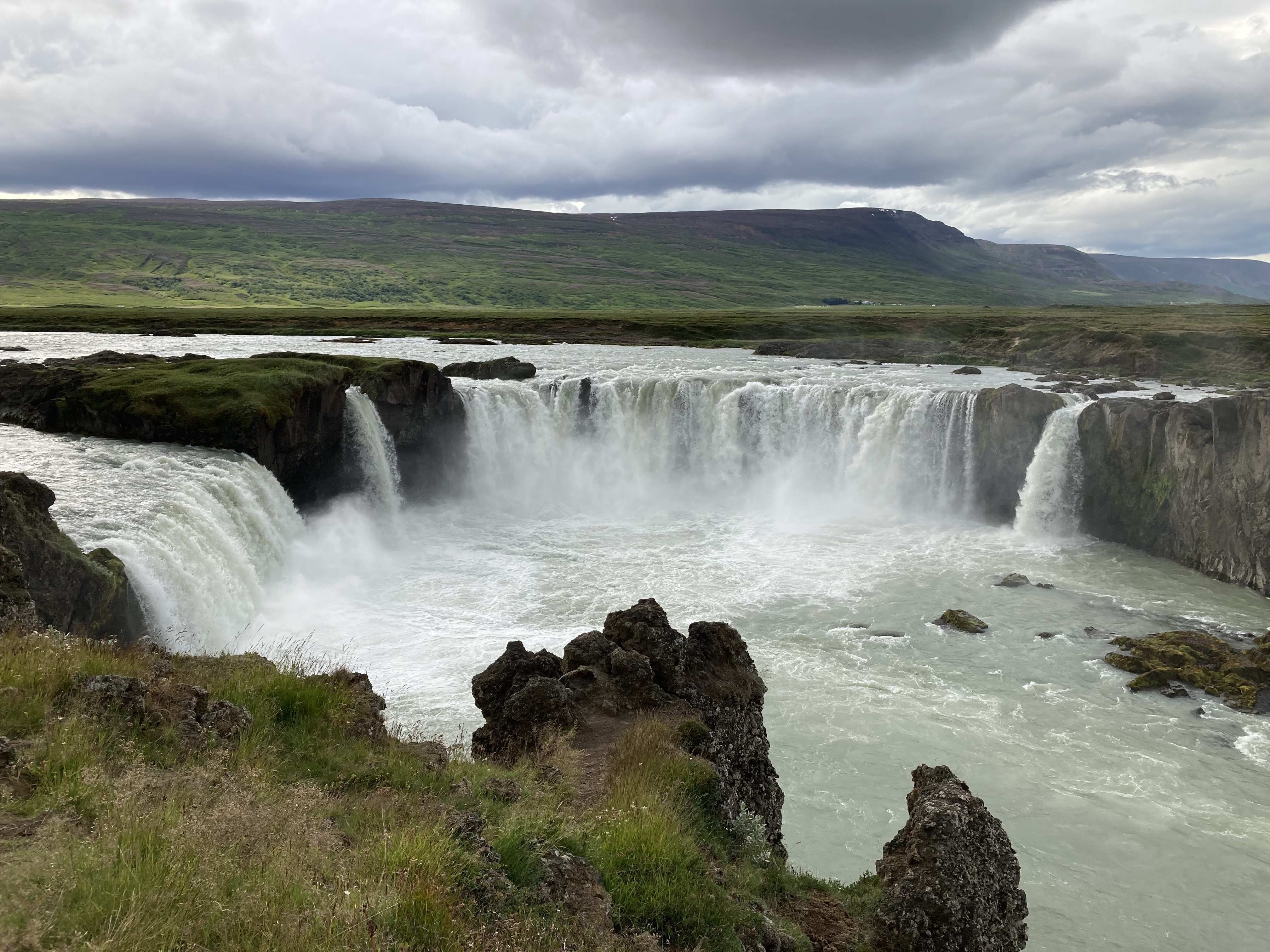
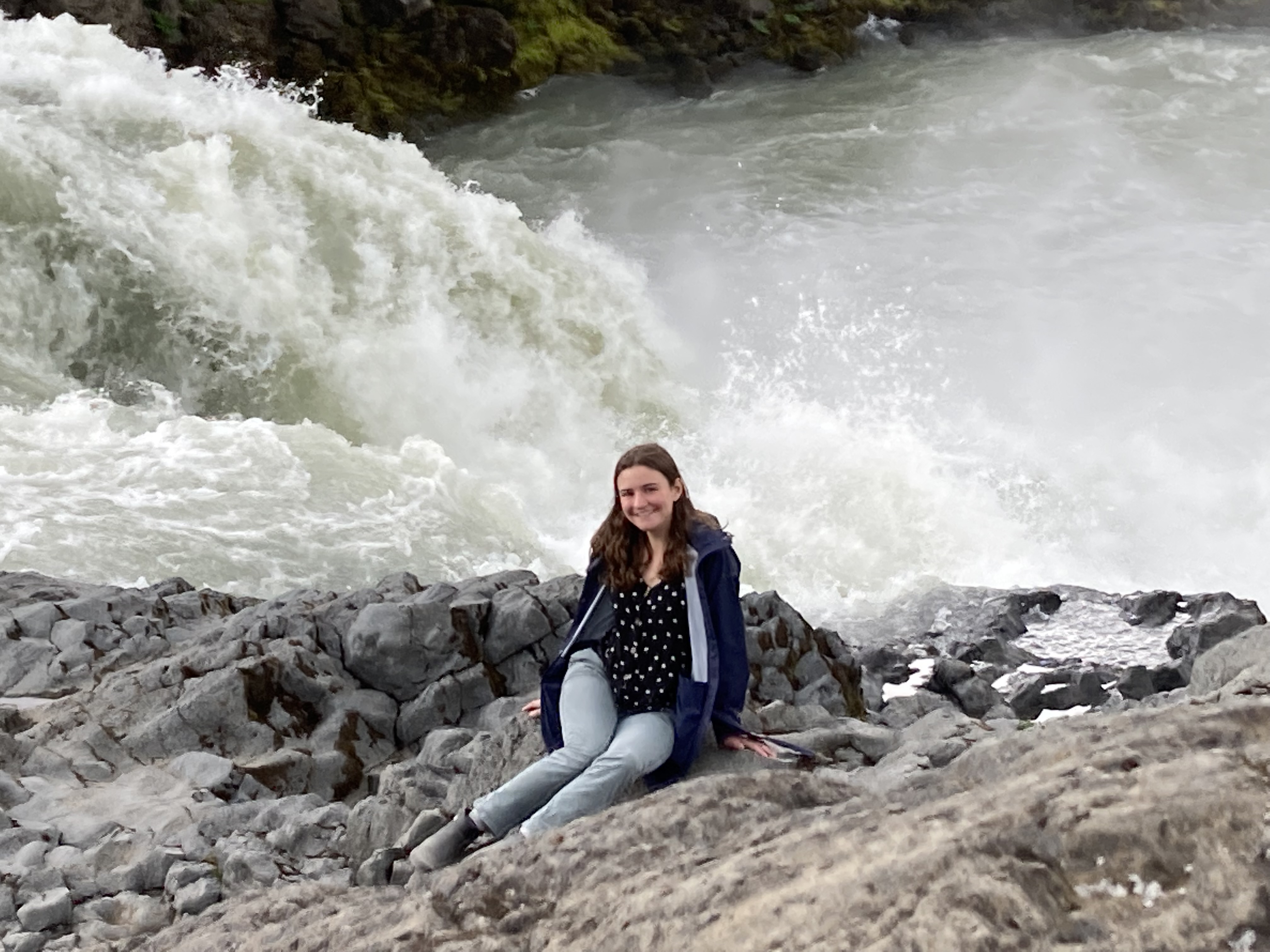
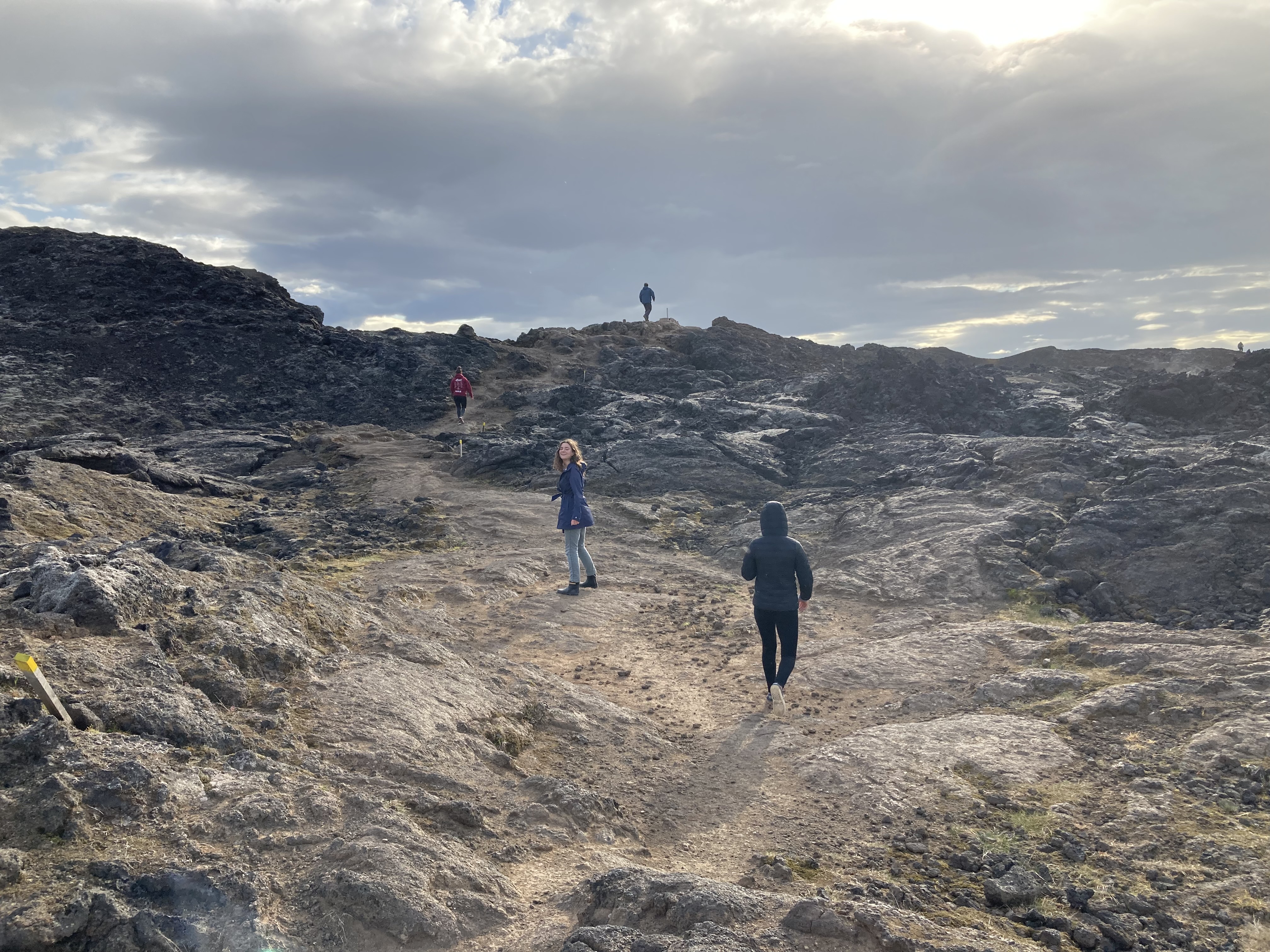
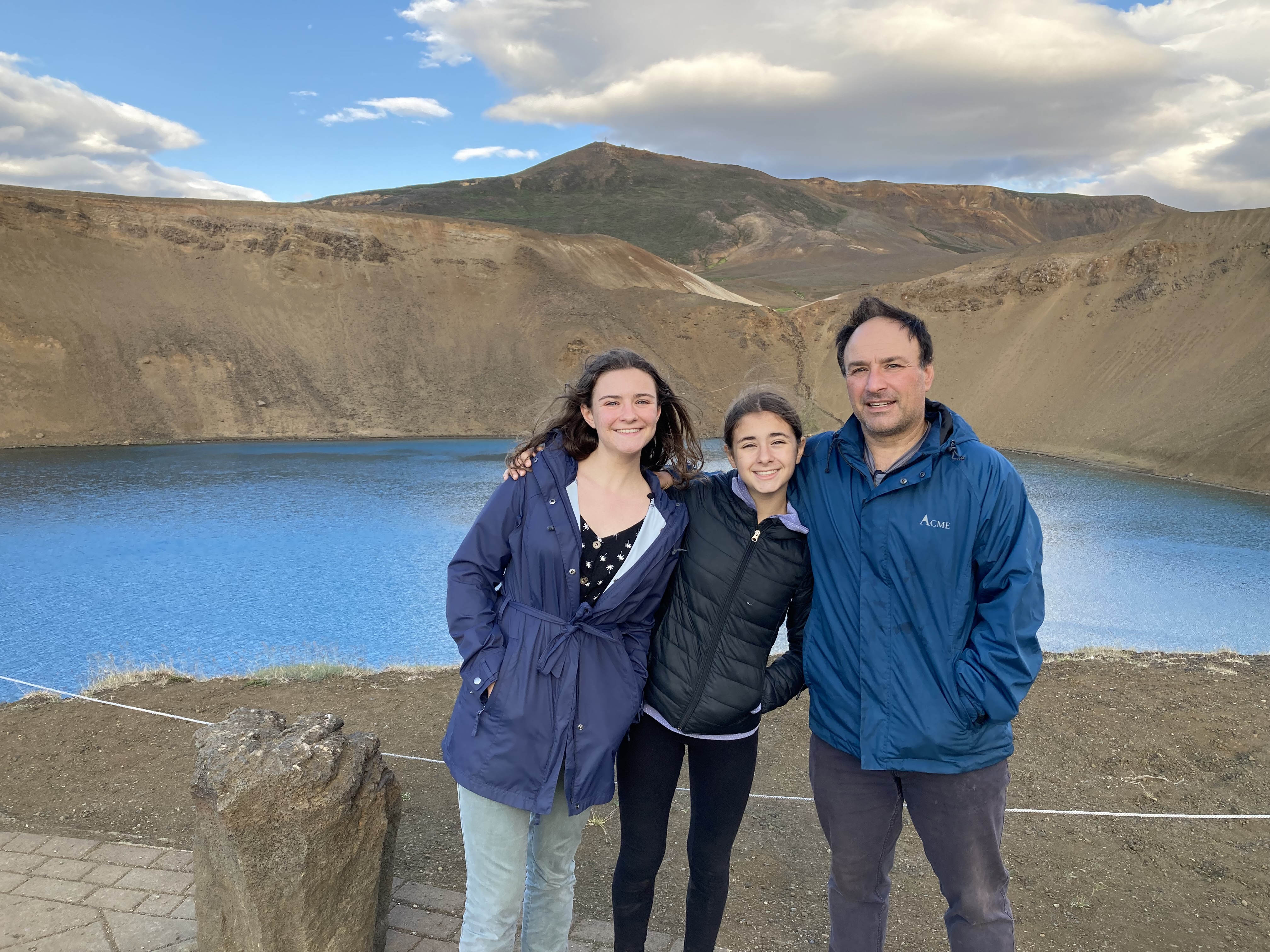
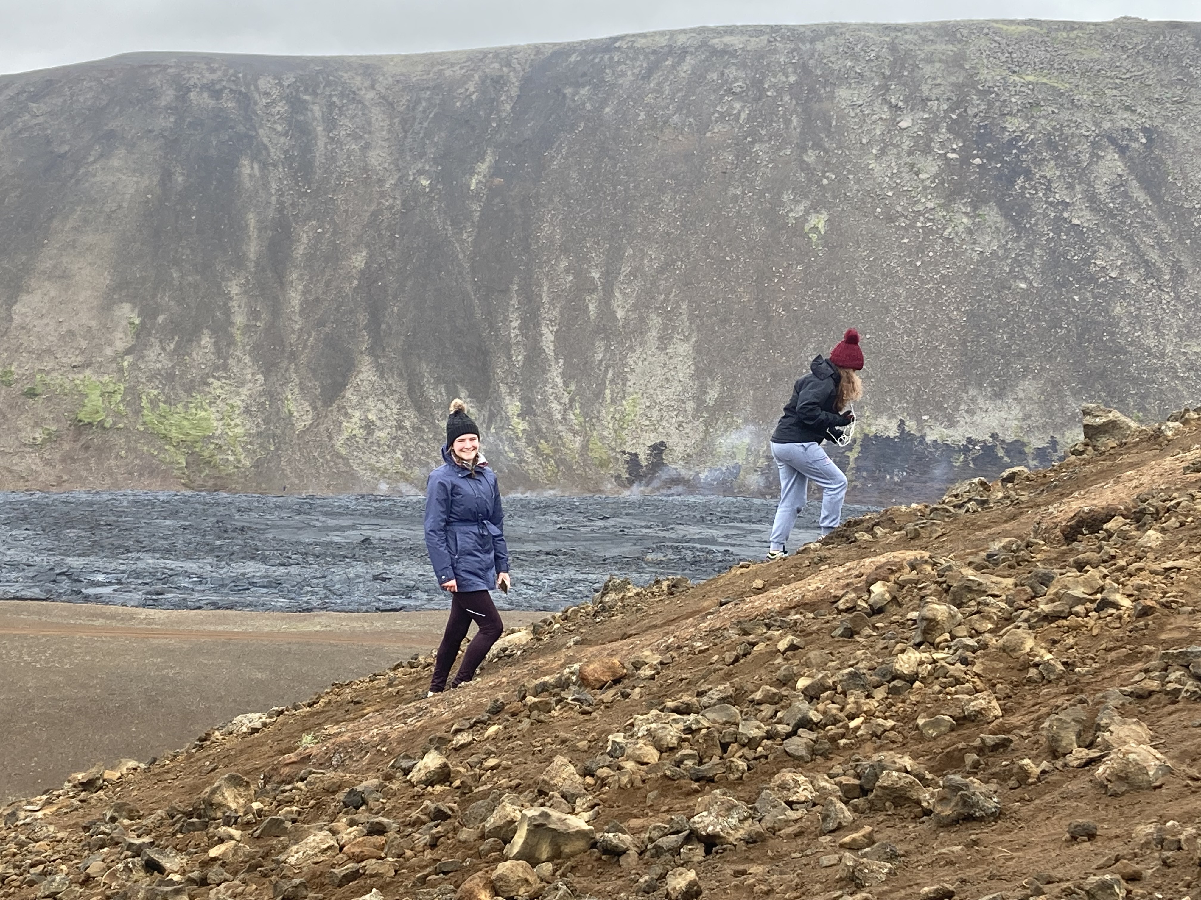
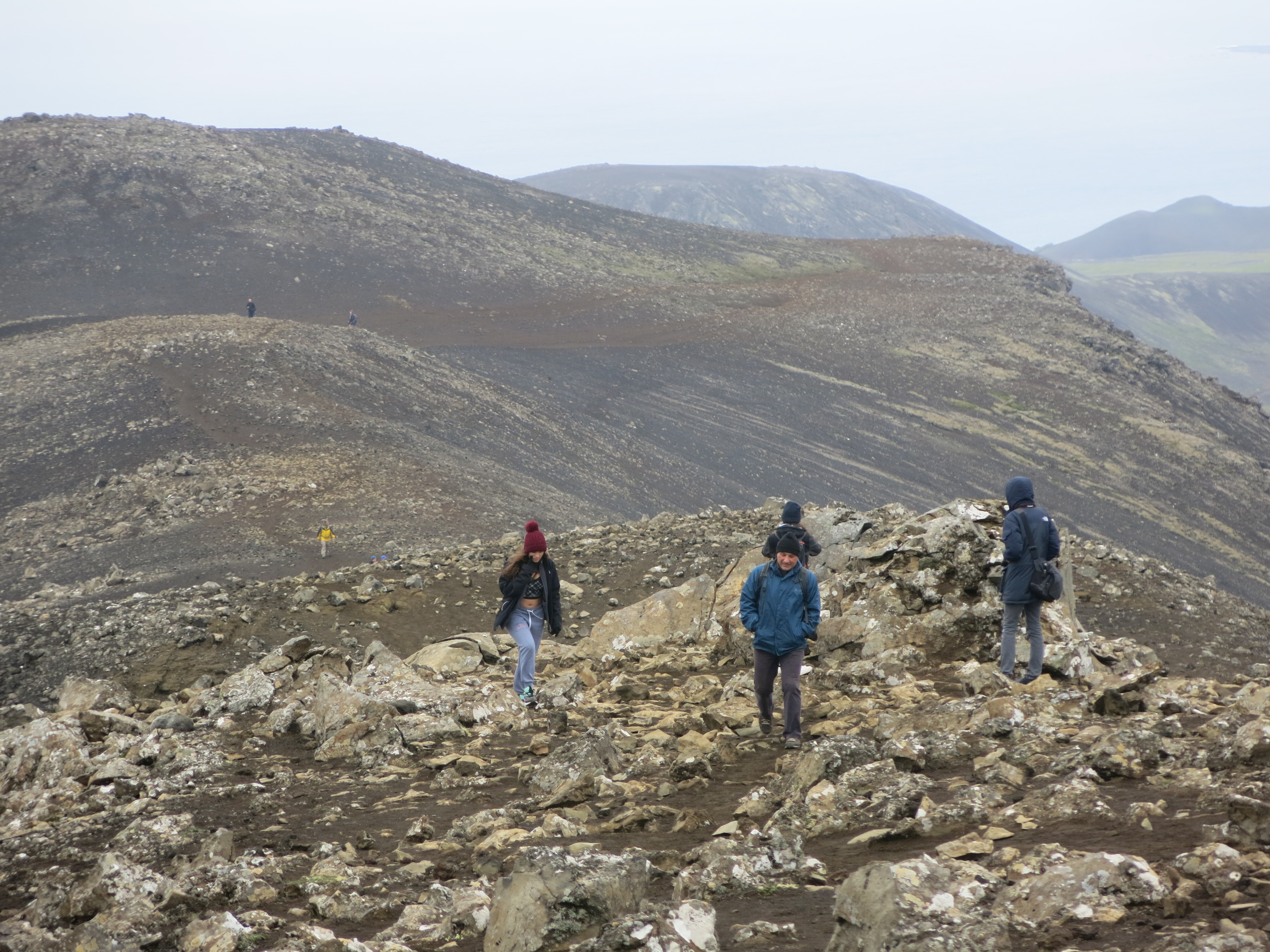
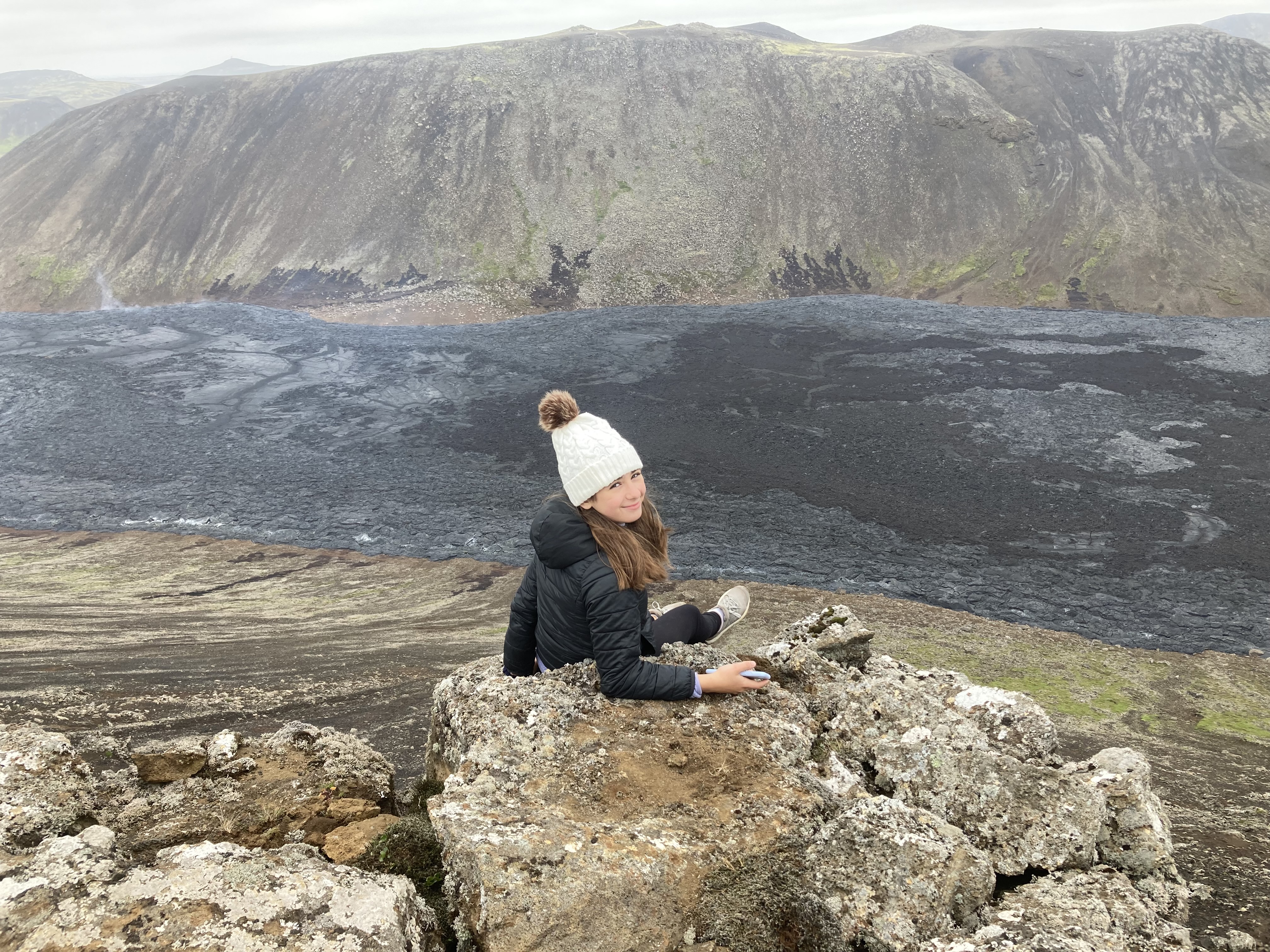
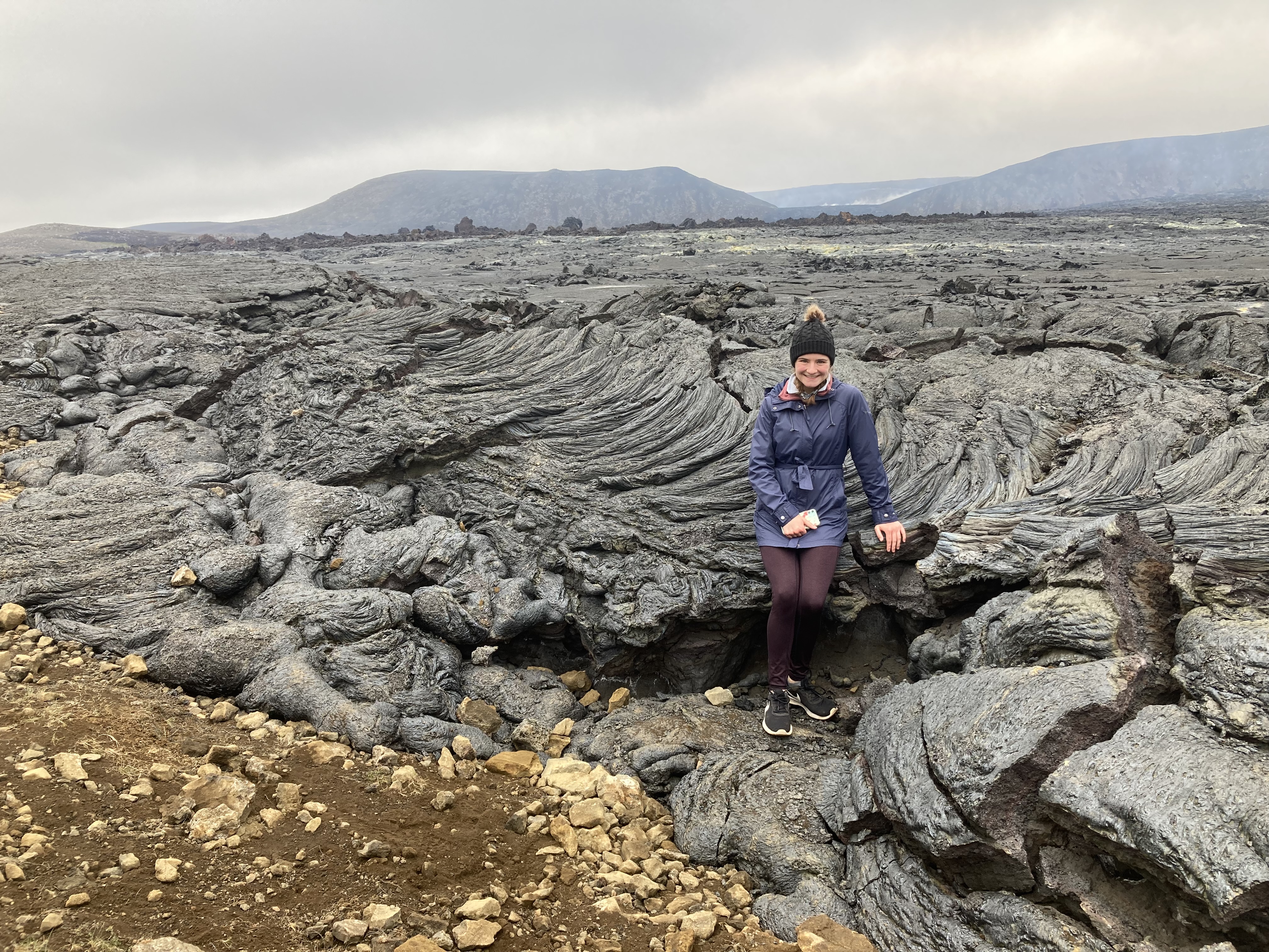
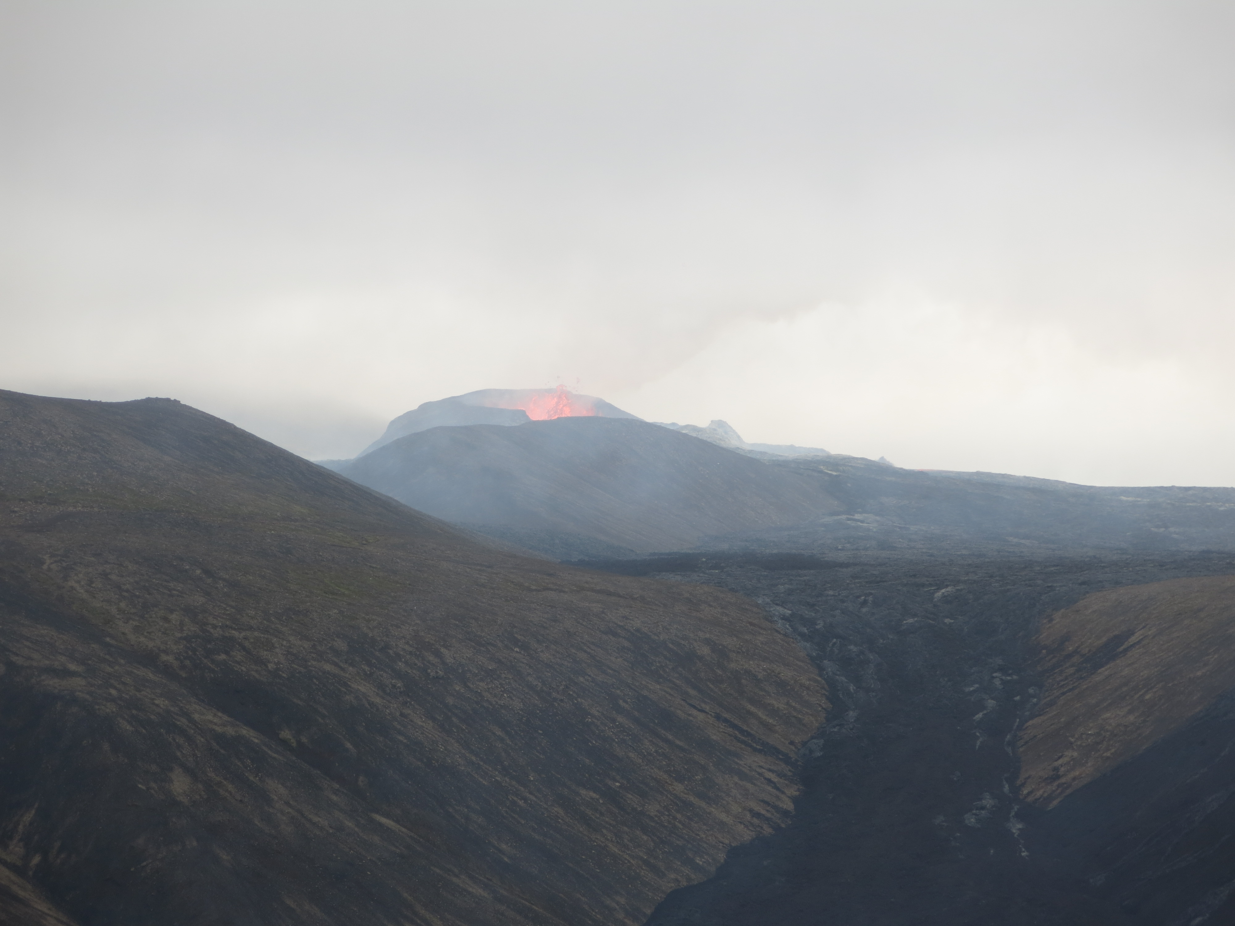
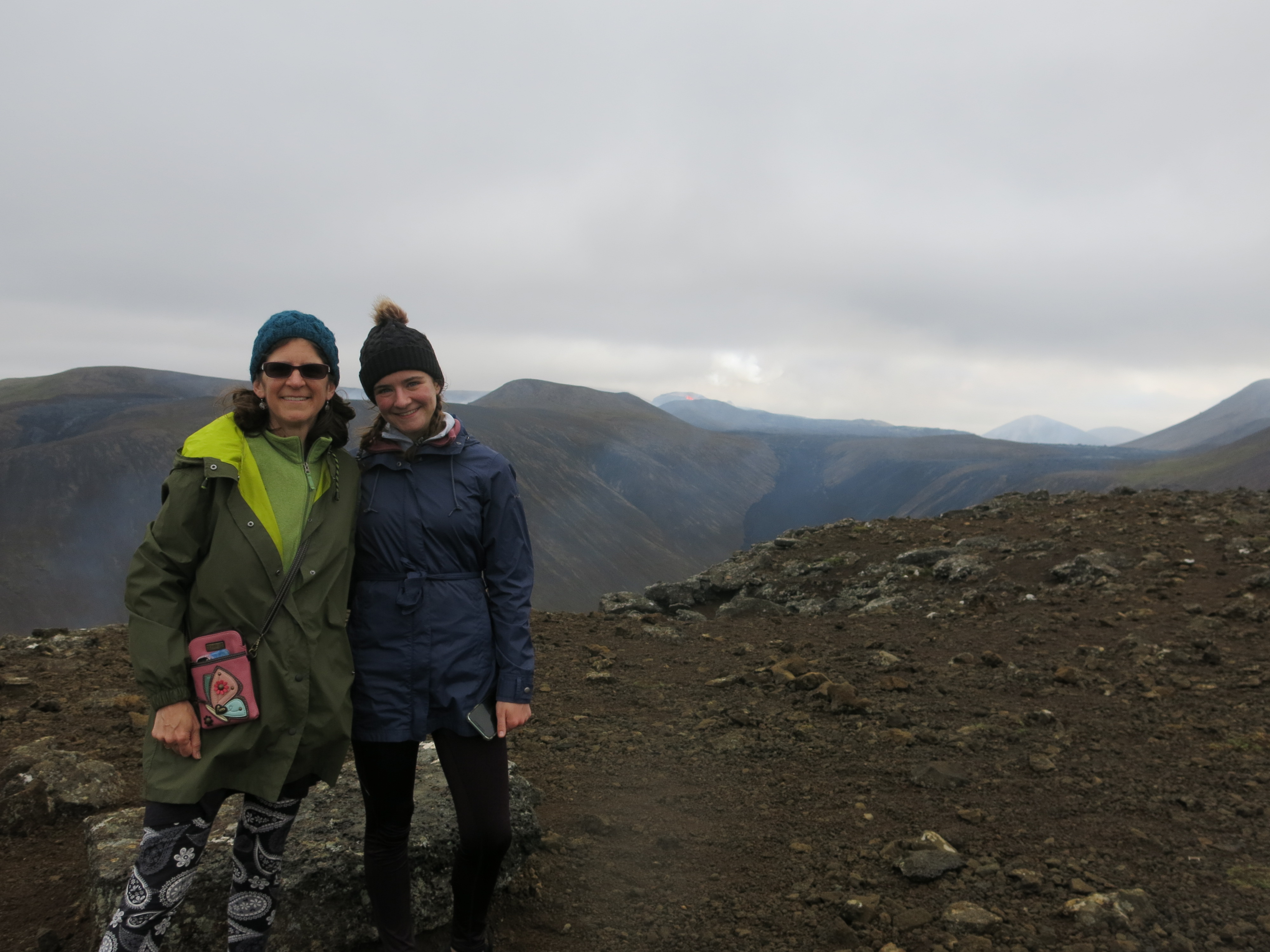
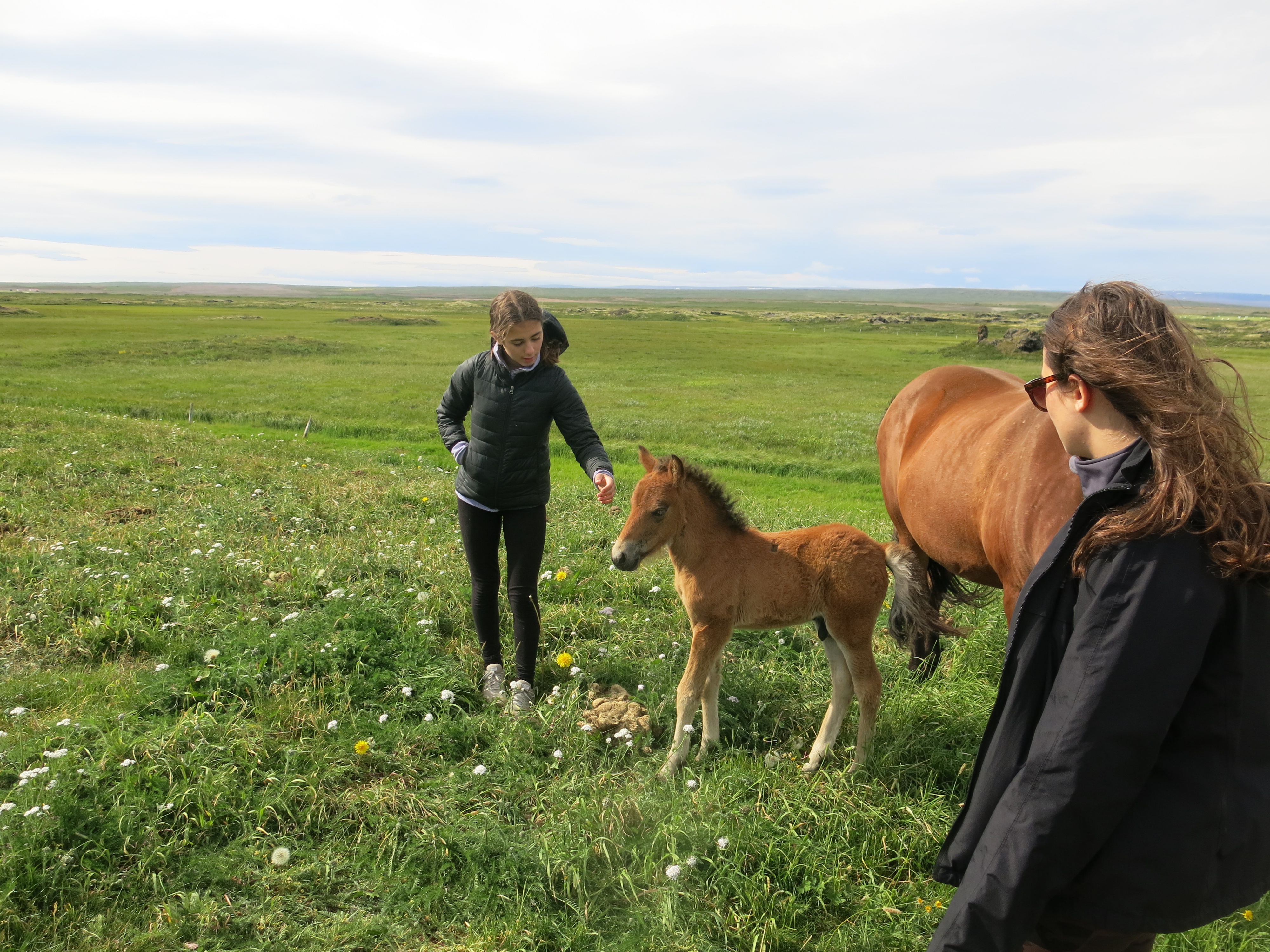 Bob elected to skip this one, which was probably for the best. We meandered through stunning scenery, until we rounded a bend and found ourselves right on the edge of the lake — or, I should say, quite a long ways above the lake, with a very narrow path and a sheer drop off to our right. Our guide told us we were riding on the edge of a pseudocrater, which is a large, round bump that was formed long ago by bubbles in lava flows. Nadia and I were both very concerned
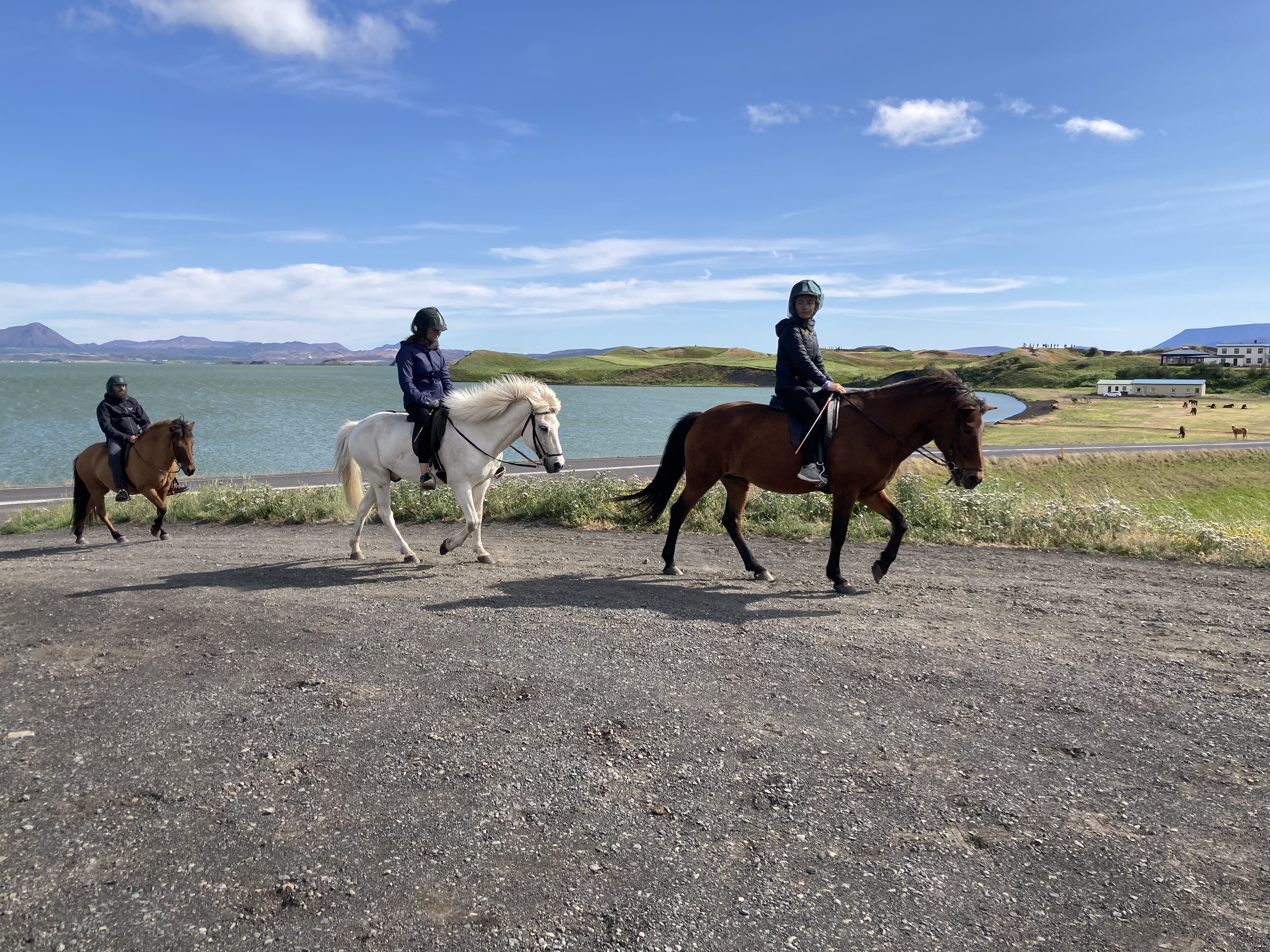
 We were also supposed to experience the “tolt”, which is a special gait unique to Icelandic horses. It’s kind of like a trot but supposedly much smoother and more comfortable for riding. I was very skeptical about this, because I found it plenty bumpy, but the kids later told me that my horse was rebelliously trotting rather than doing the tolt. Between the cliff ride and the trotting, I spent most of the ride holding onto the saddle with both hands like grim death.
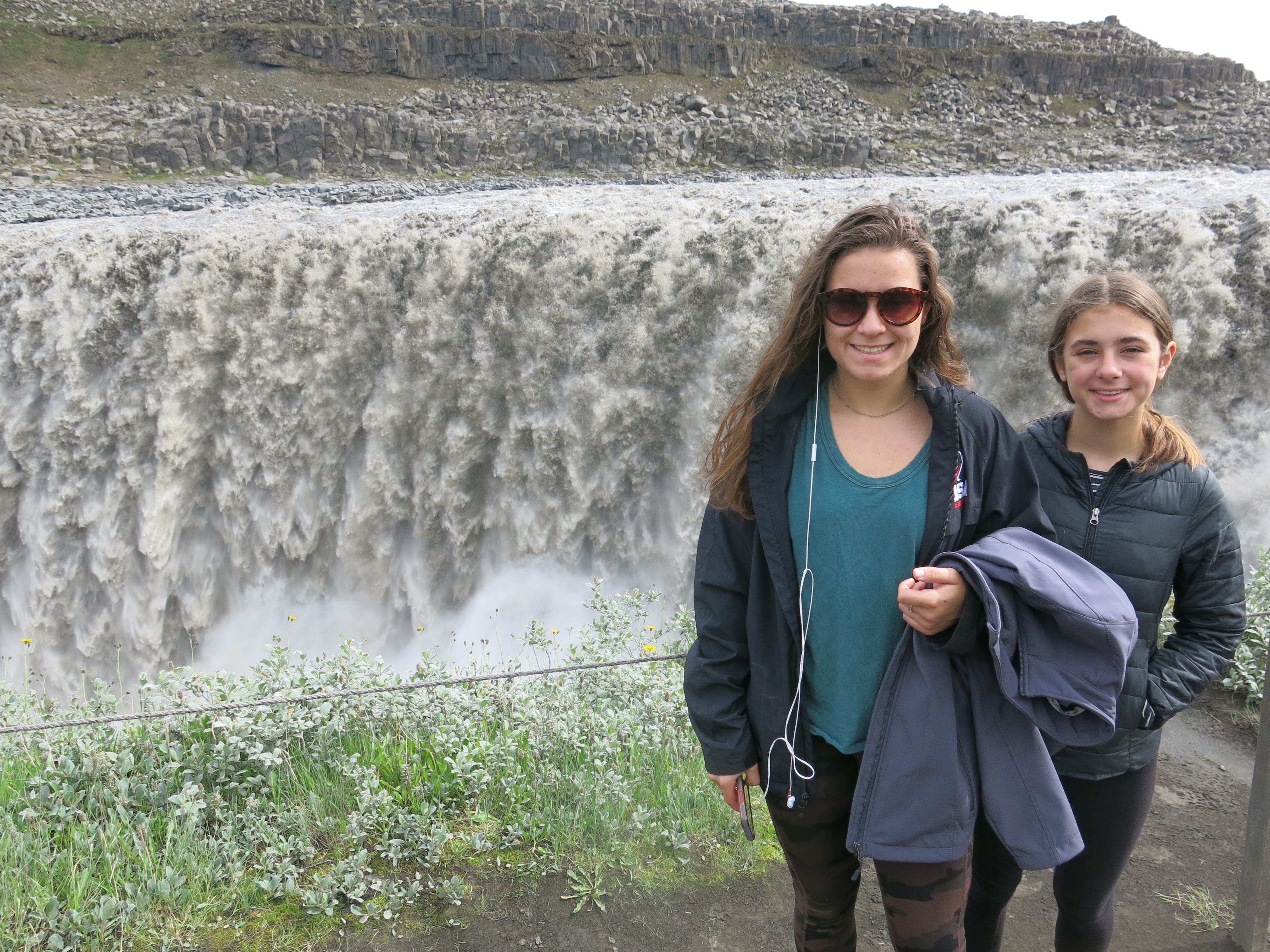
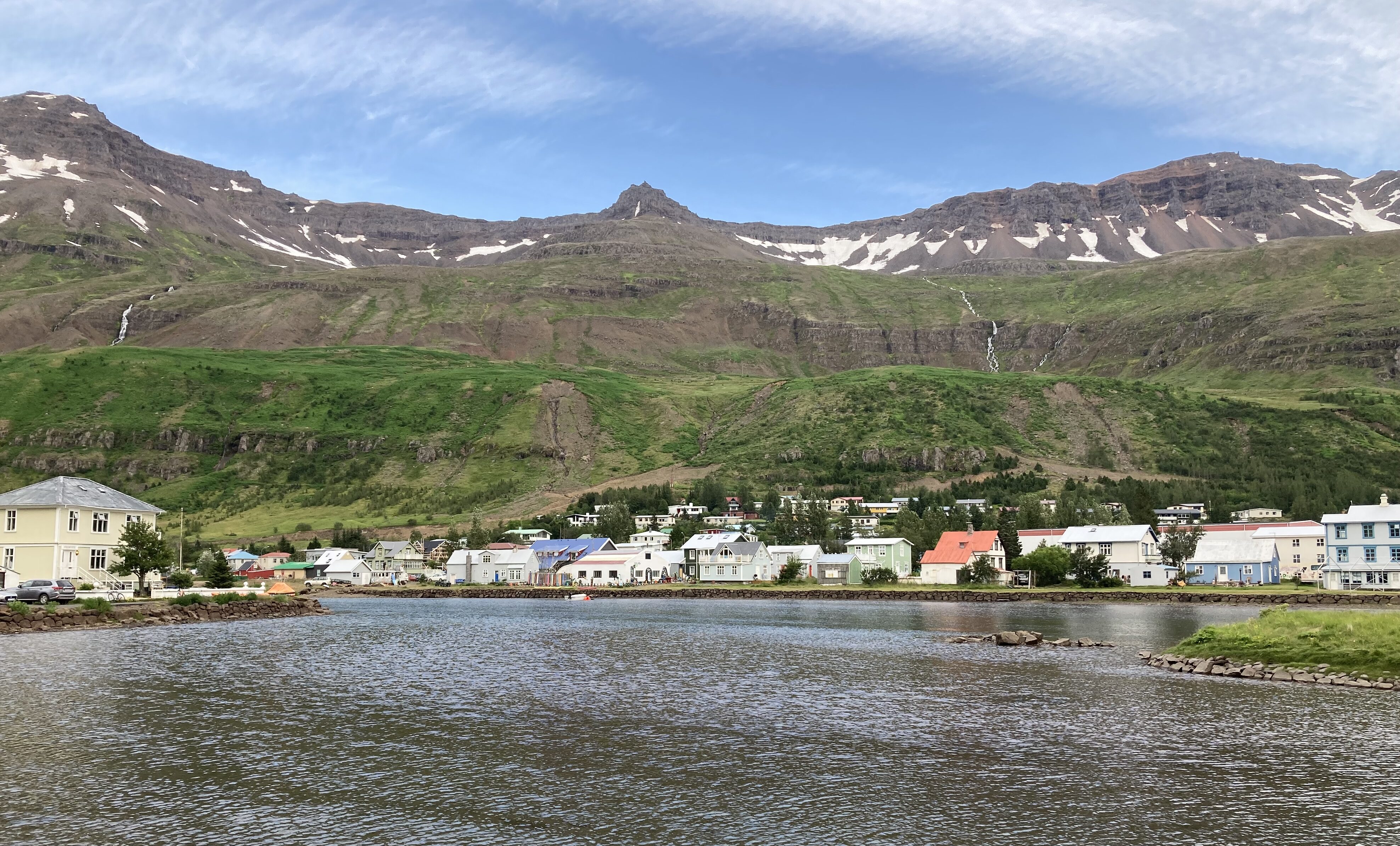
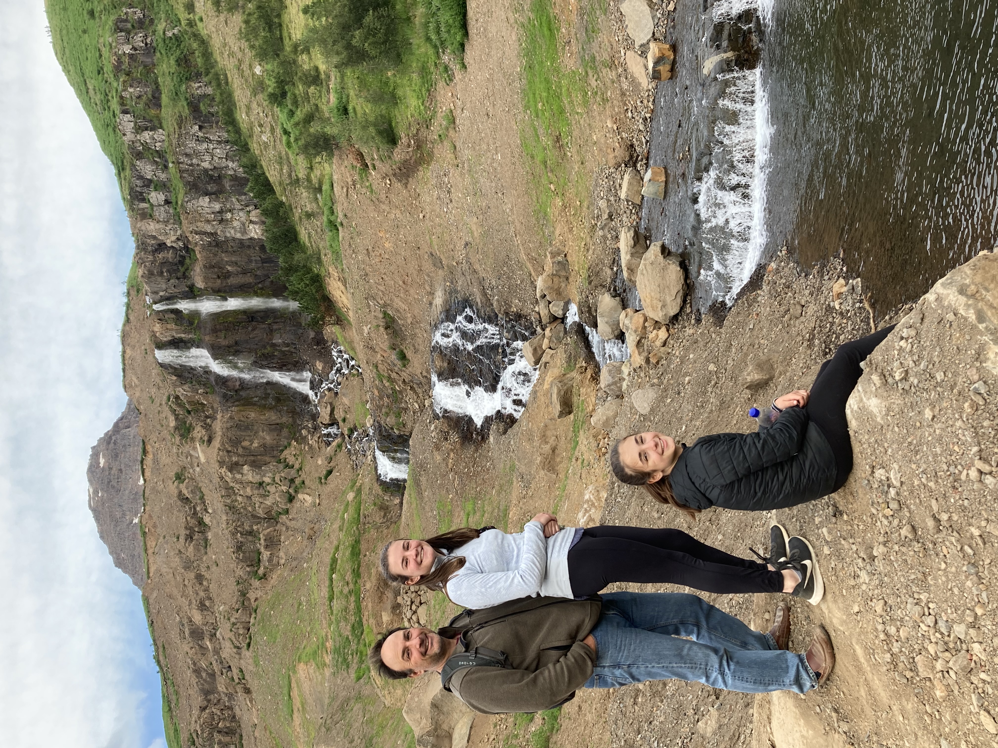
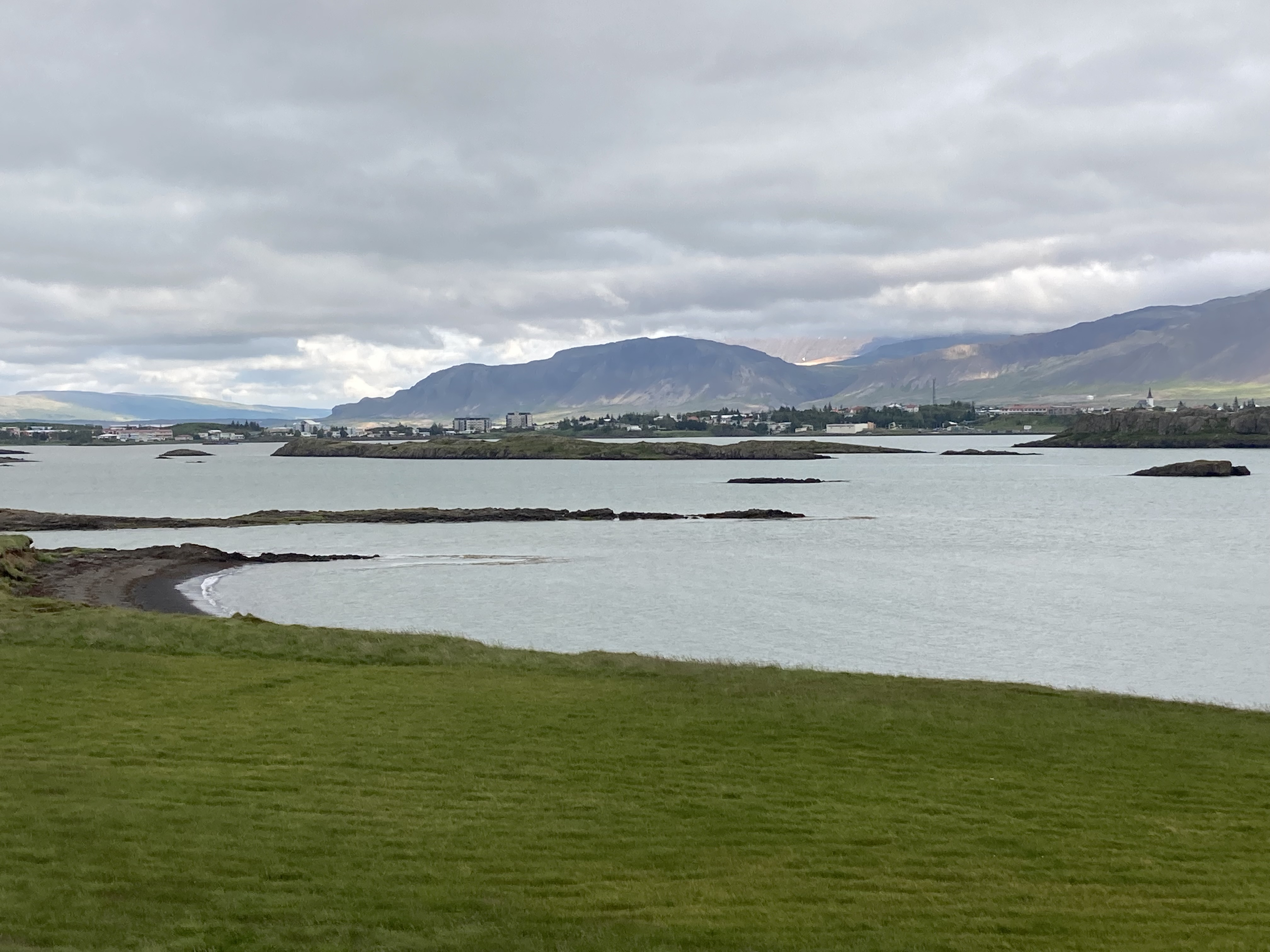
 We loved Seydisfjorder — a tiny, colorful village at the innermost point of the fjord, surrounded on three sides by high mountains streaked with waterfalls — from first glance. Our hostel is called the Old Hospital, and is in a beautifully restored historic building. There is a sauna in the basement and white-capped mountains towering outside our windows. We were almost disappointed to not be cooking dinner tonight, when we saw the lovely kitchen and dining areas on the first floor.
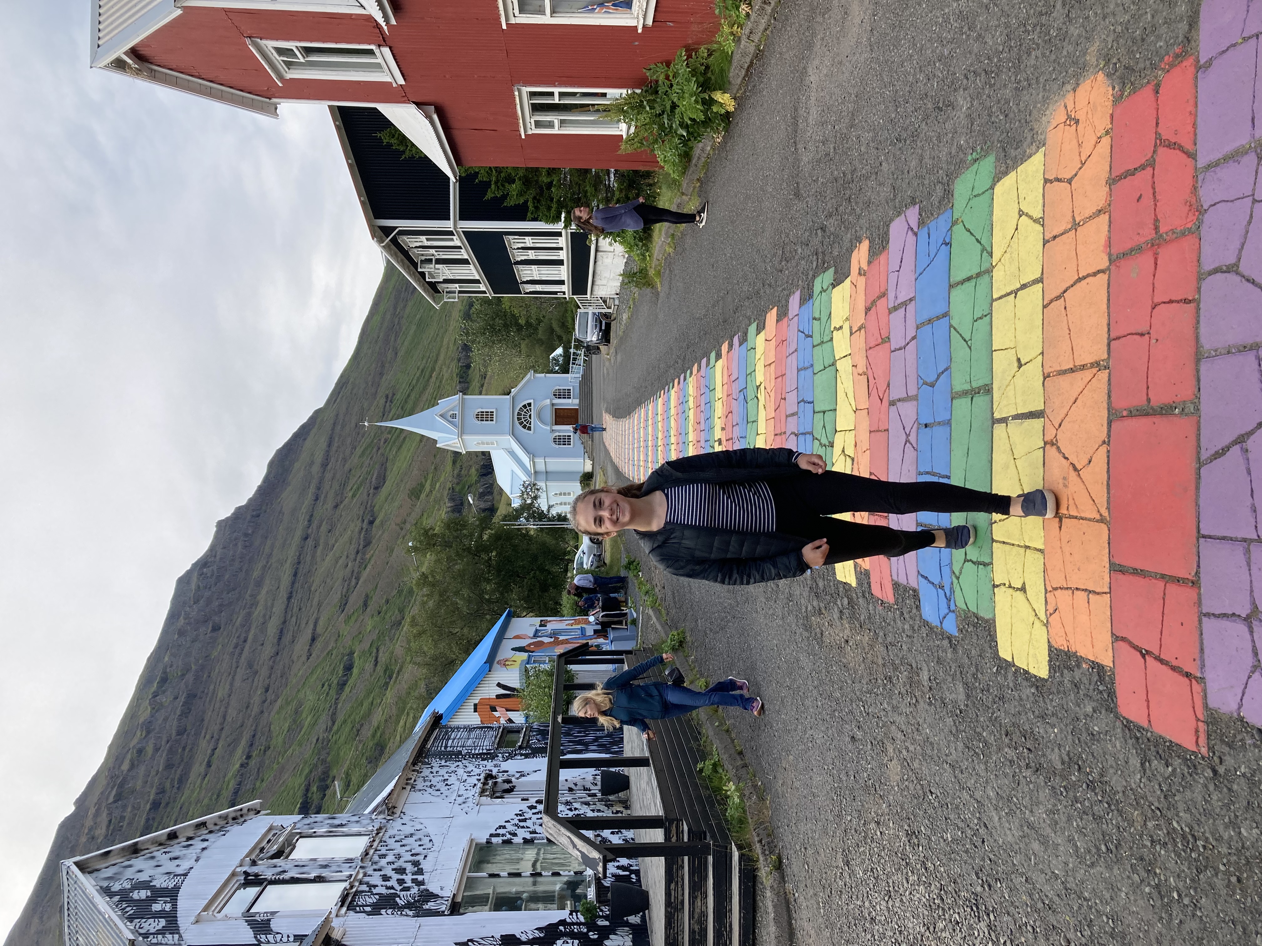
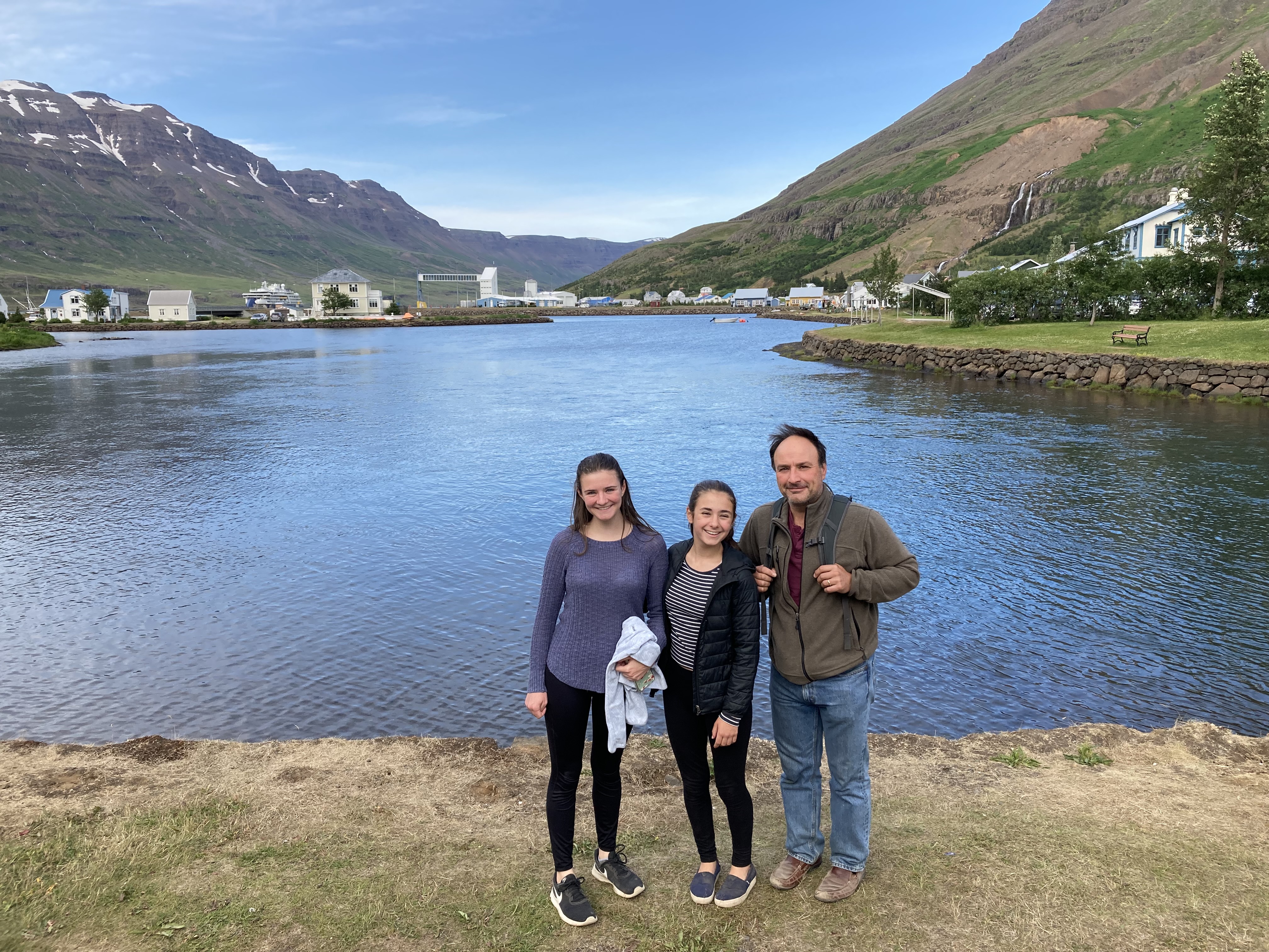
 Luckily (especially since the grocery was closed) we actually managed to eat inside a restaurant for the first time on the whole trip. (Normally this would be because Bob and I are being cheap — the food here is VERY expensive — but really, this time around we’ve tried several times and been foiled for one reason or another.) A short stroll around the town and its lagoon, and we’re ready to call it a night. Onward and southward tomorrow!
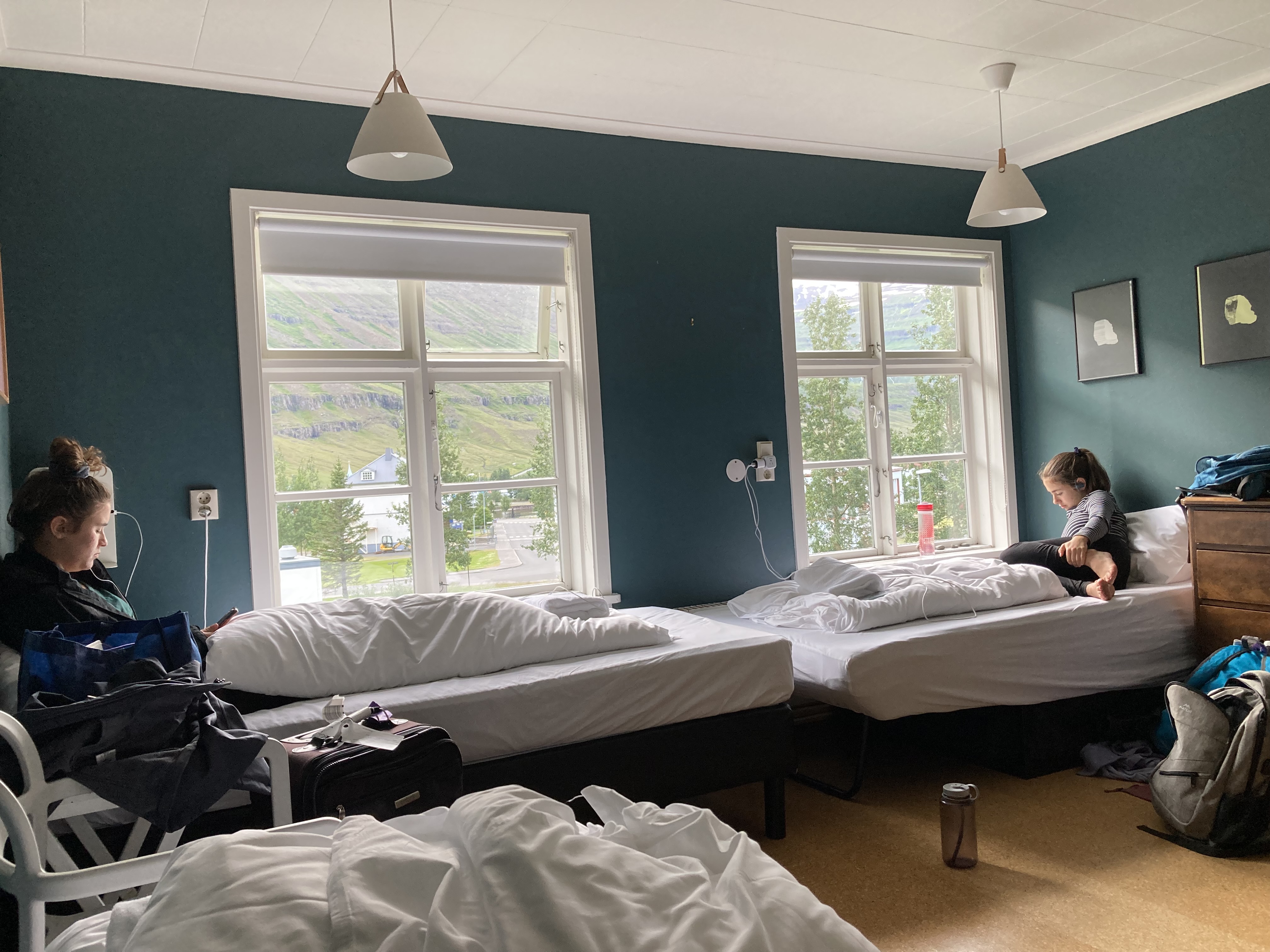


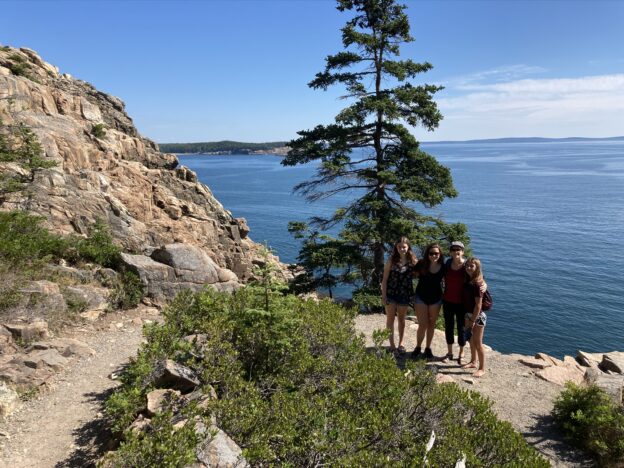
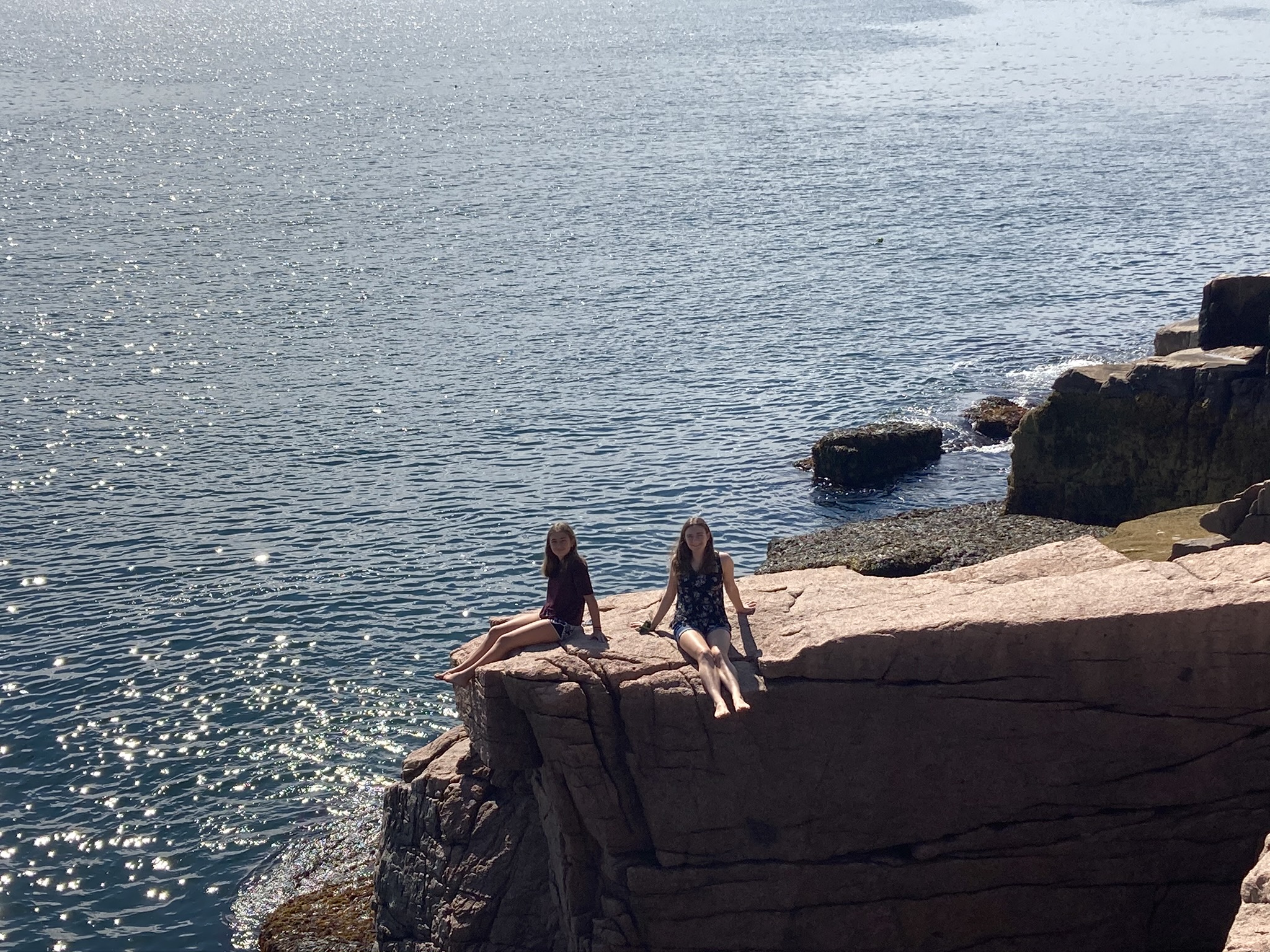
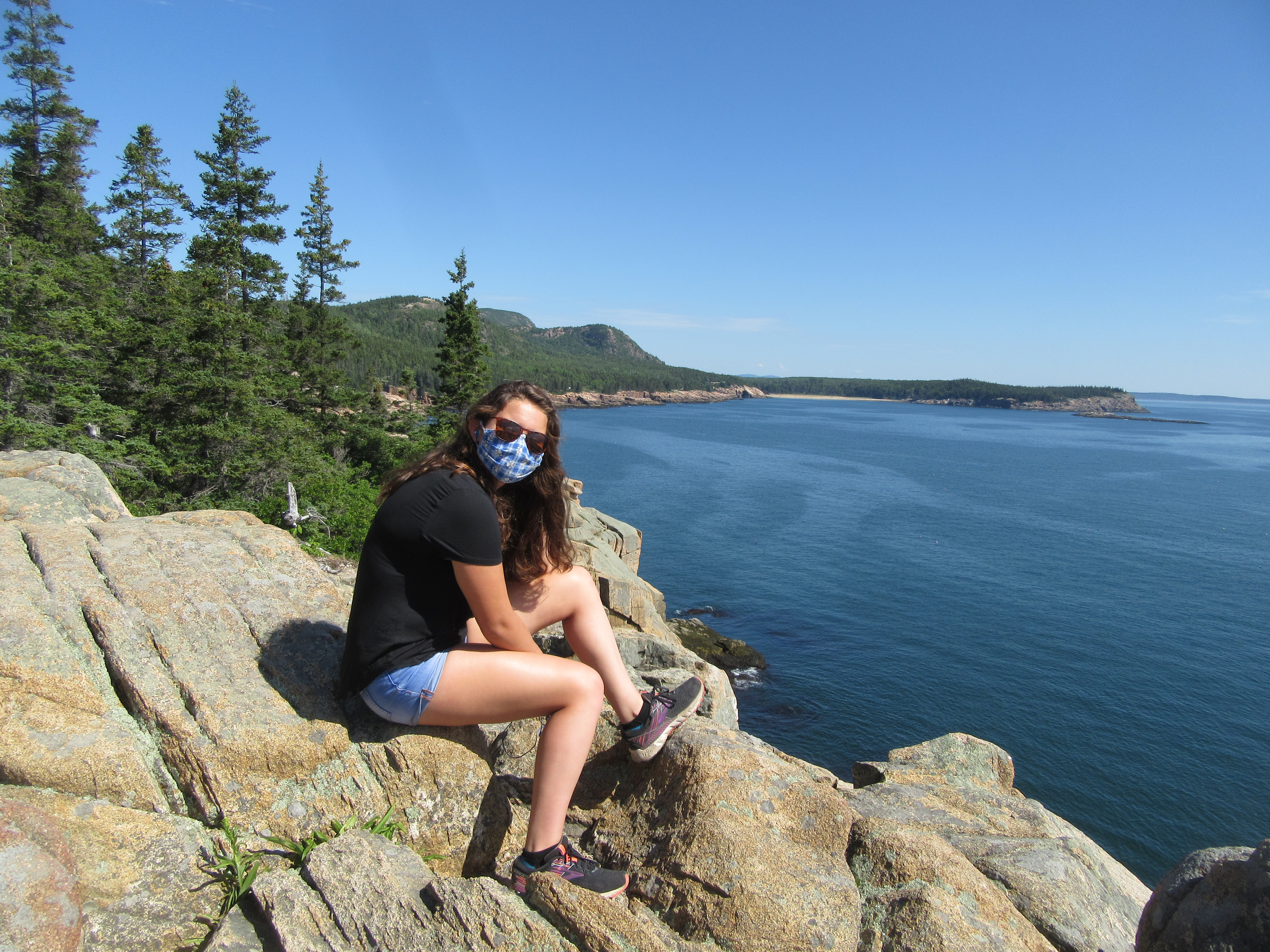
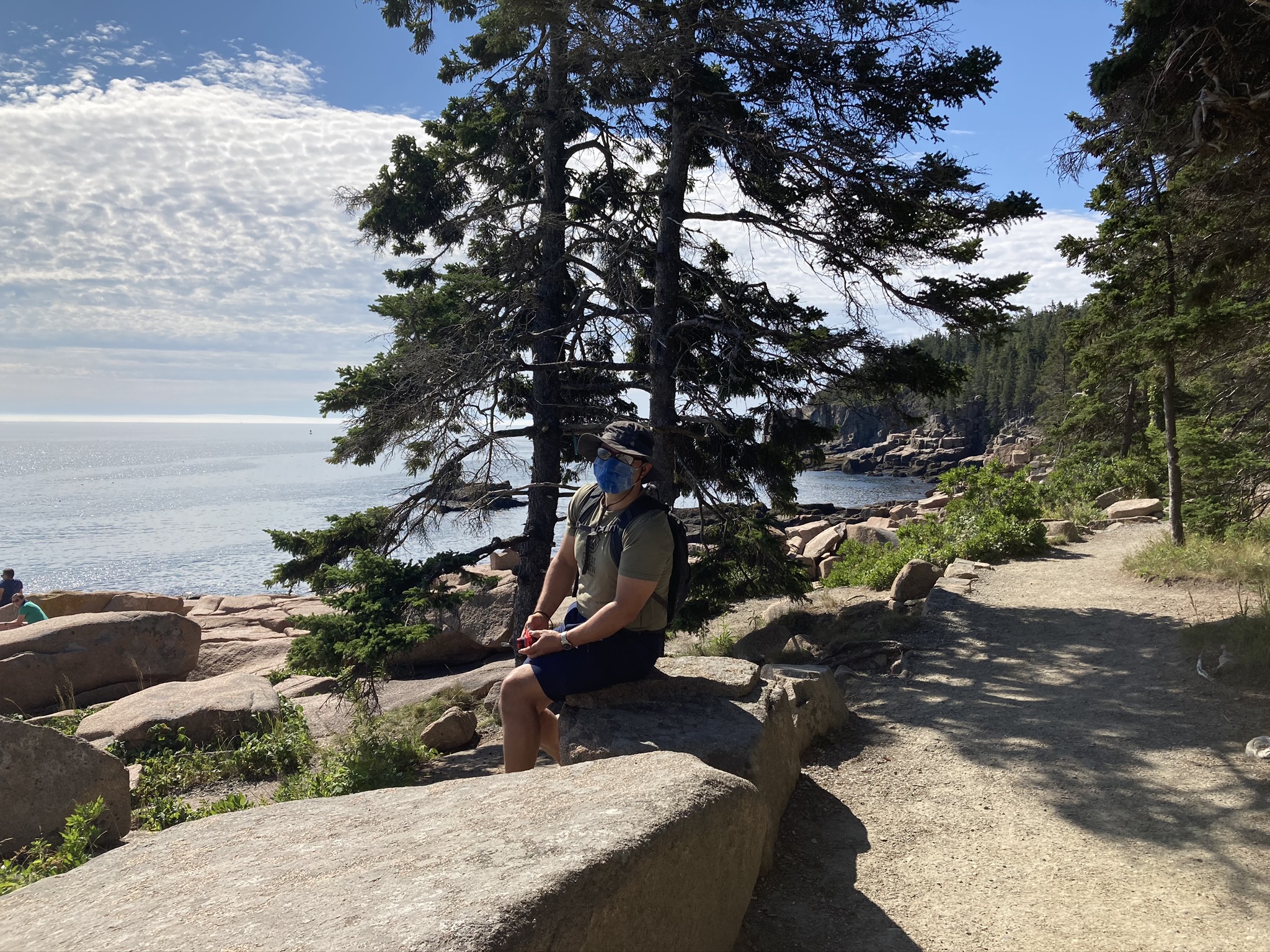
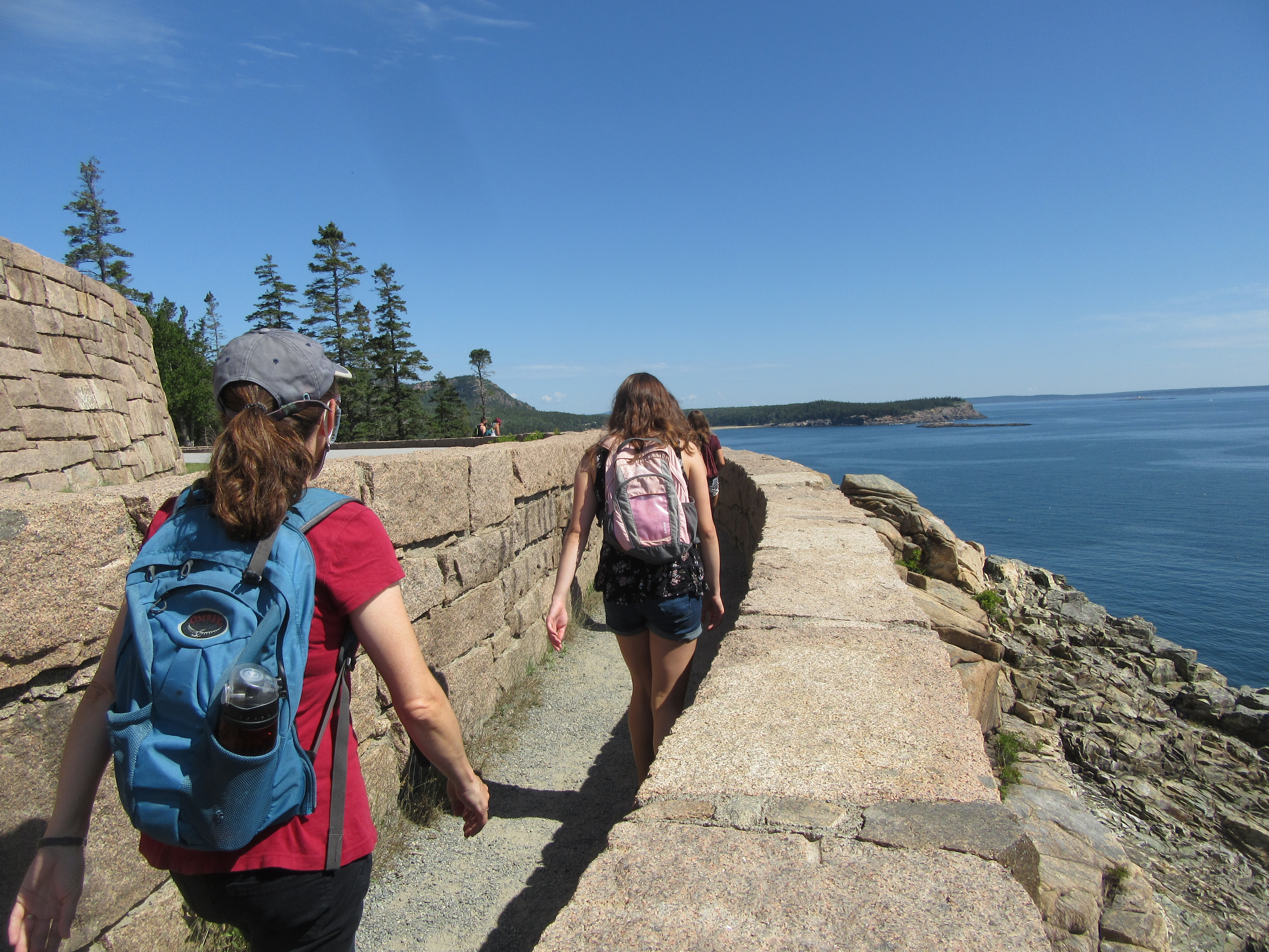
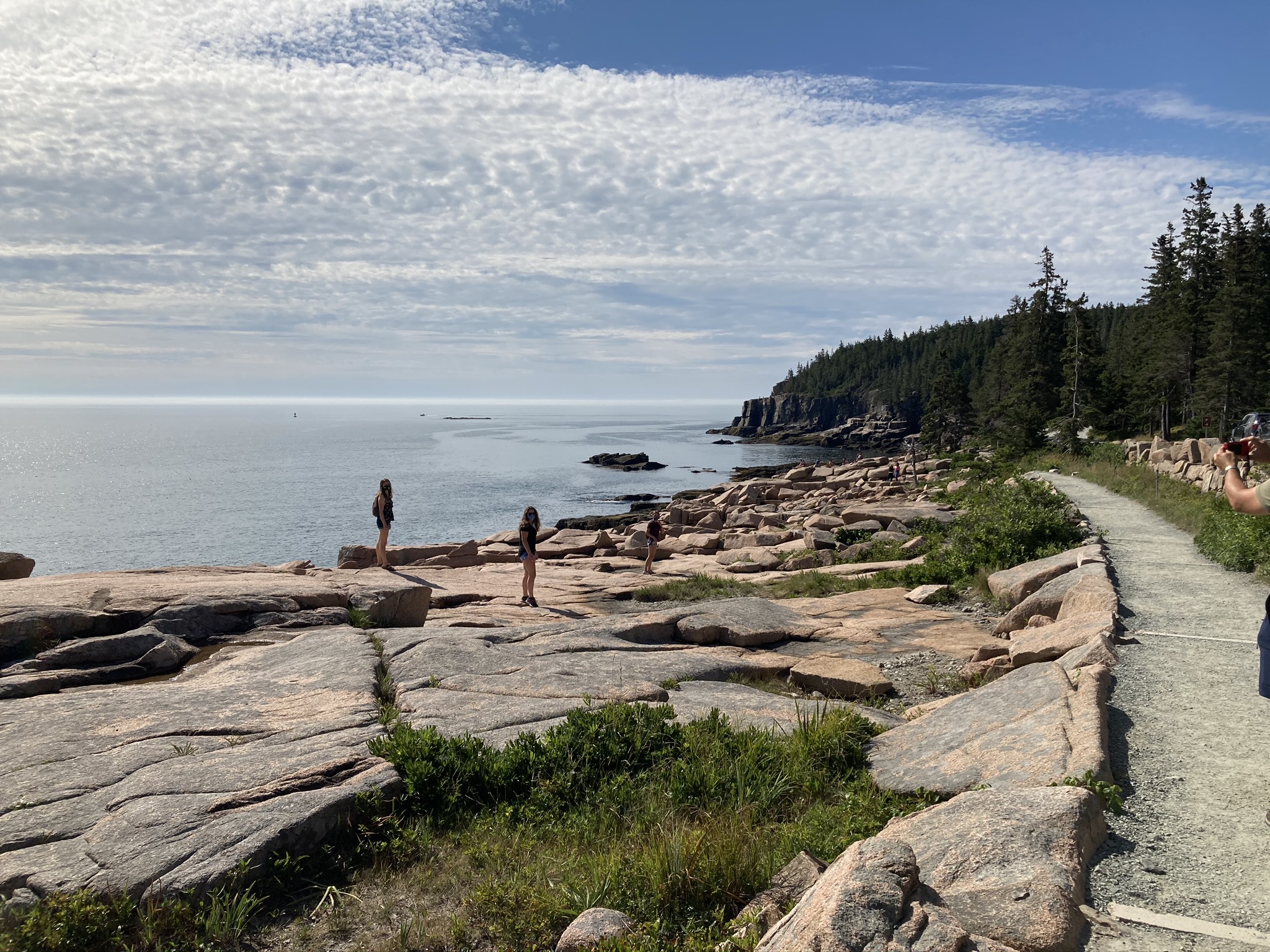
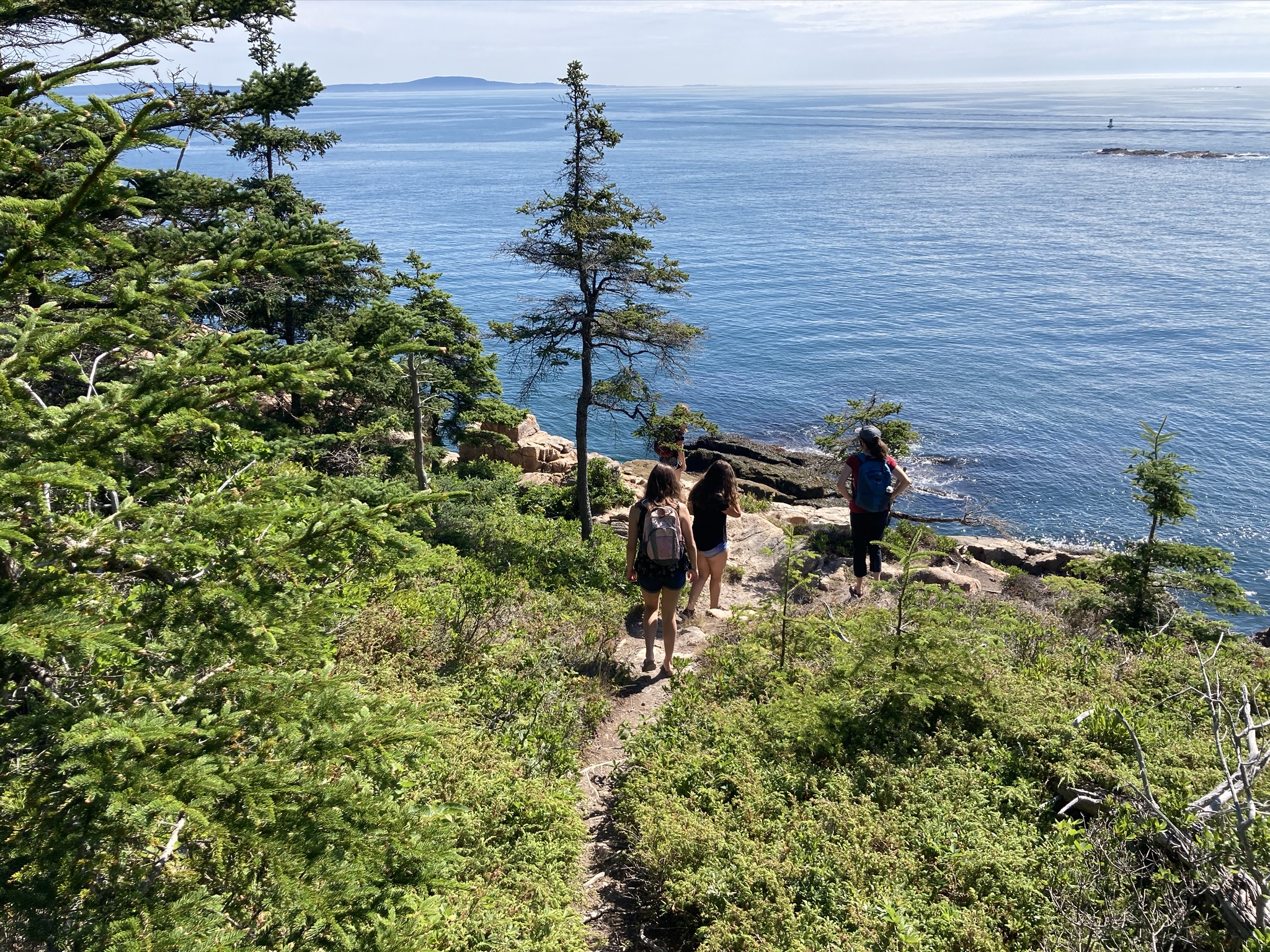
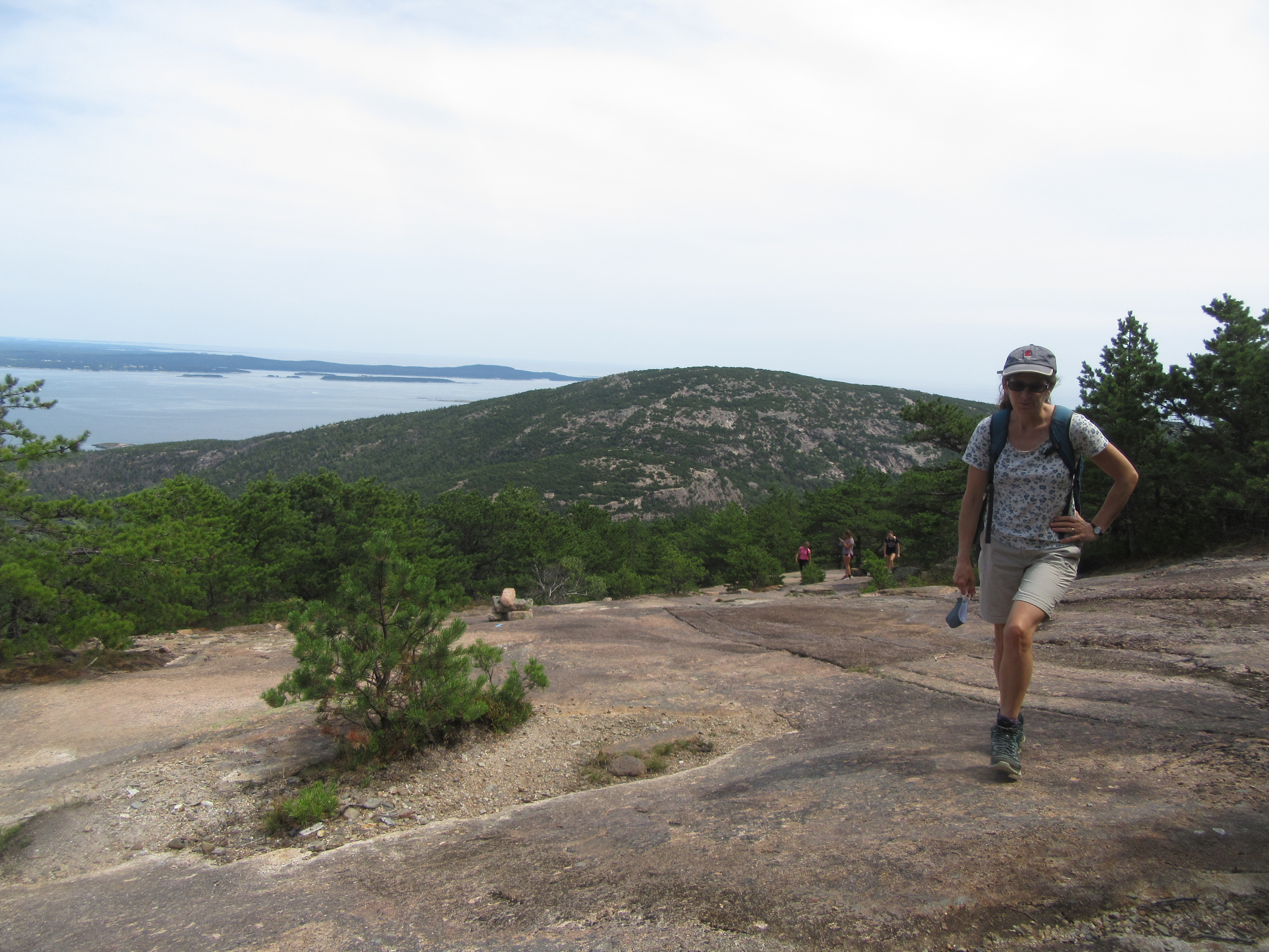
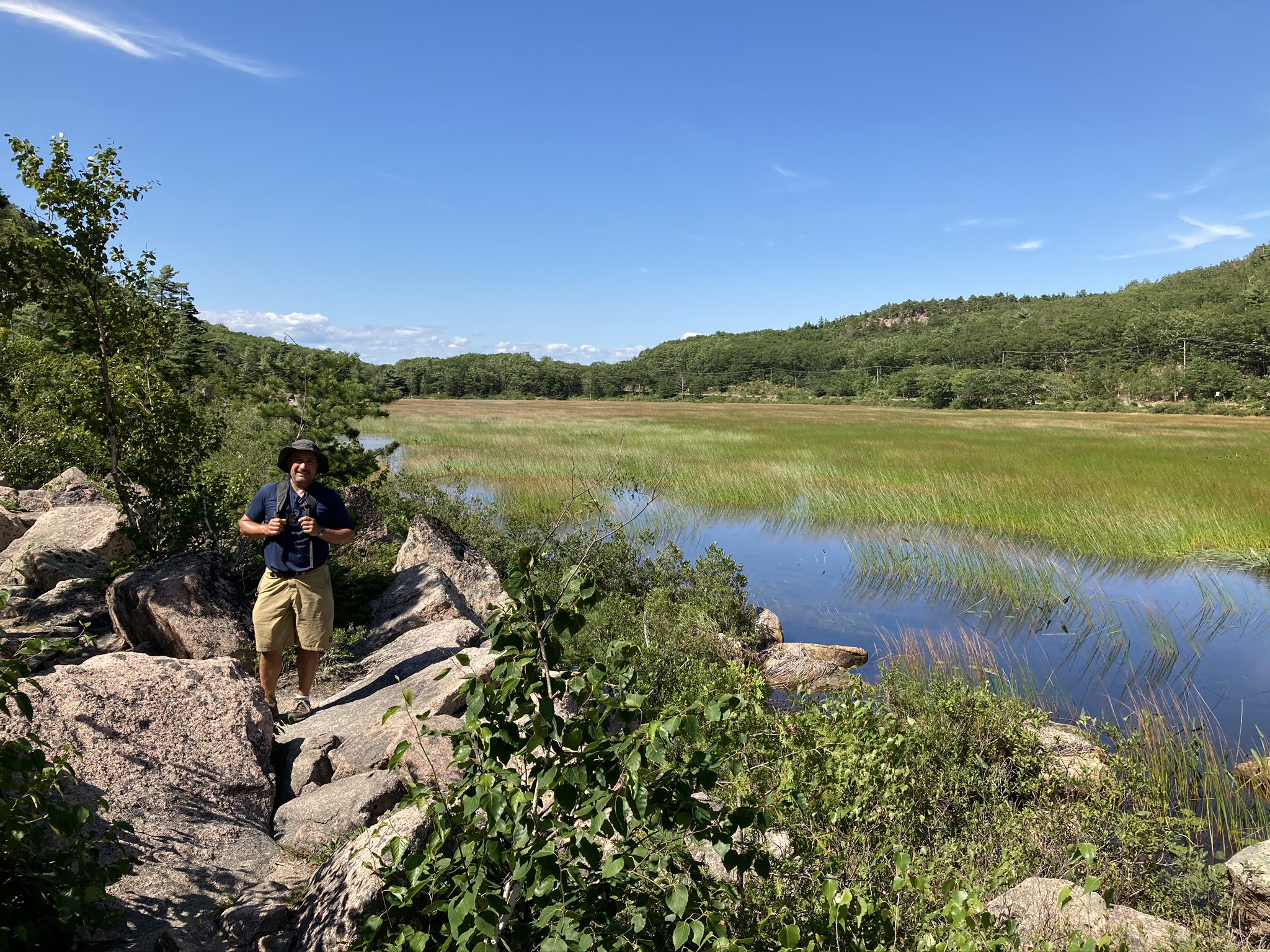
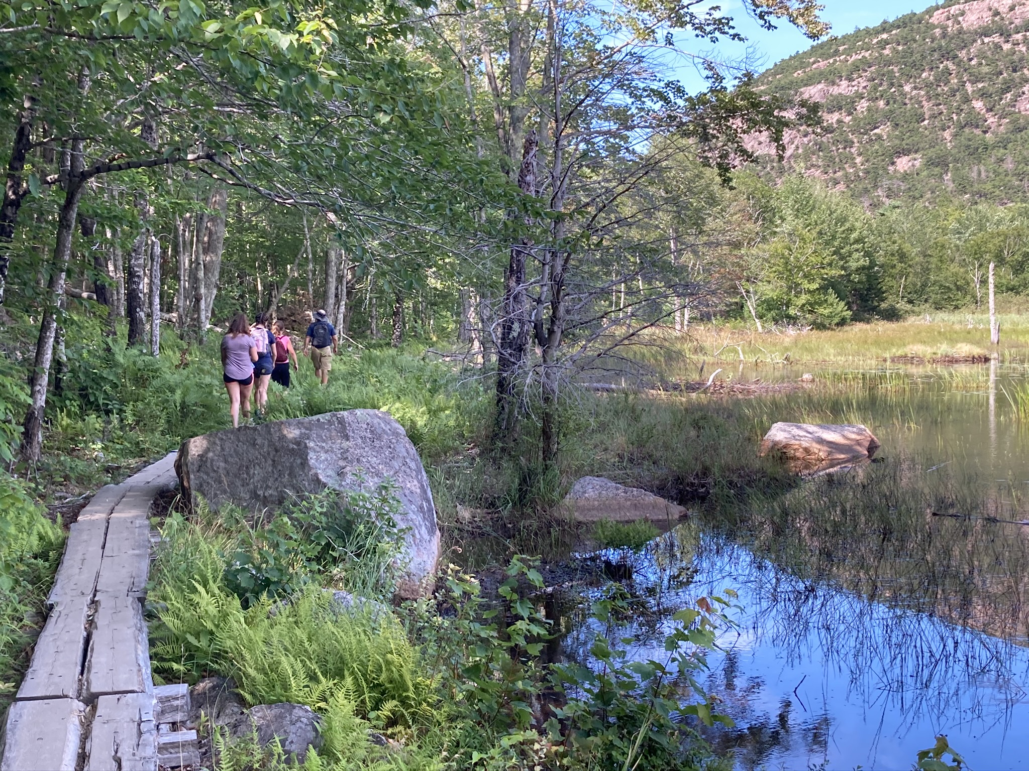
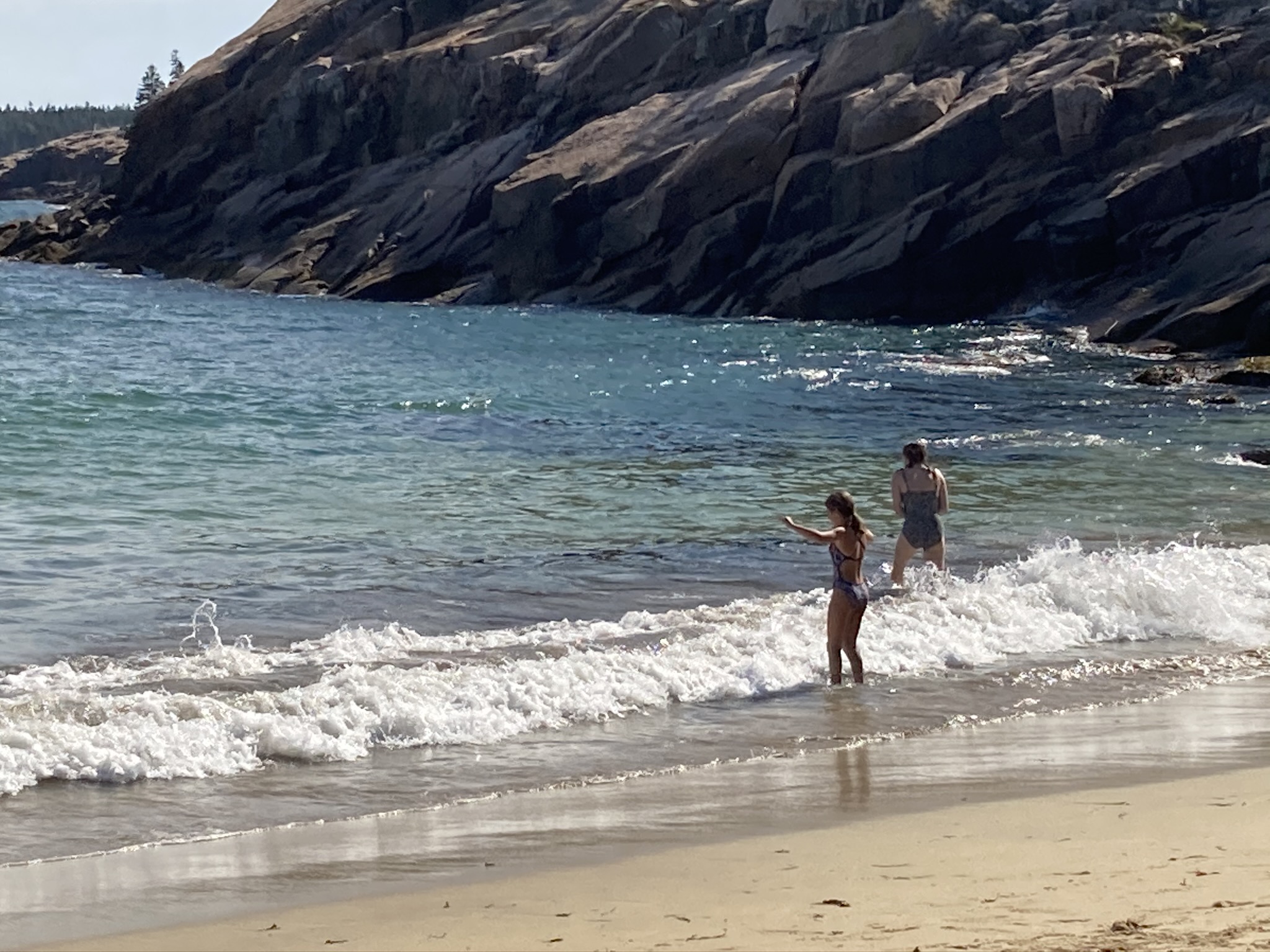
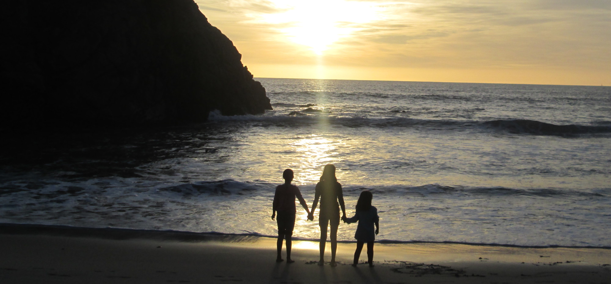
 All too soon, our mini-vacation comes to an end. After attempting unsuccessfully to cajole our kids into eating all the leftover food so we didn’t have to lug it home, we set off for Acadia one more time. After yesterday’s tough hike, today’s ambitions were lower. We promised an easy walk along the seaside path near the Park Loop Road.