Category Archives: New Hampshire

Trails of Durham: April edition

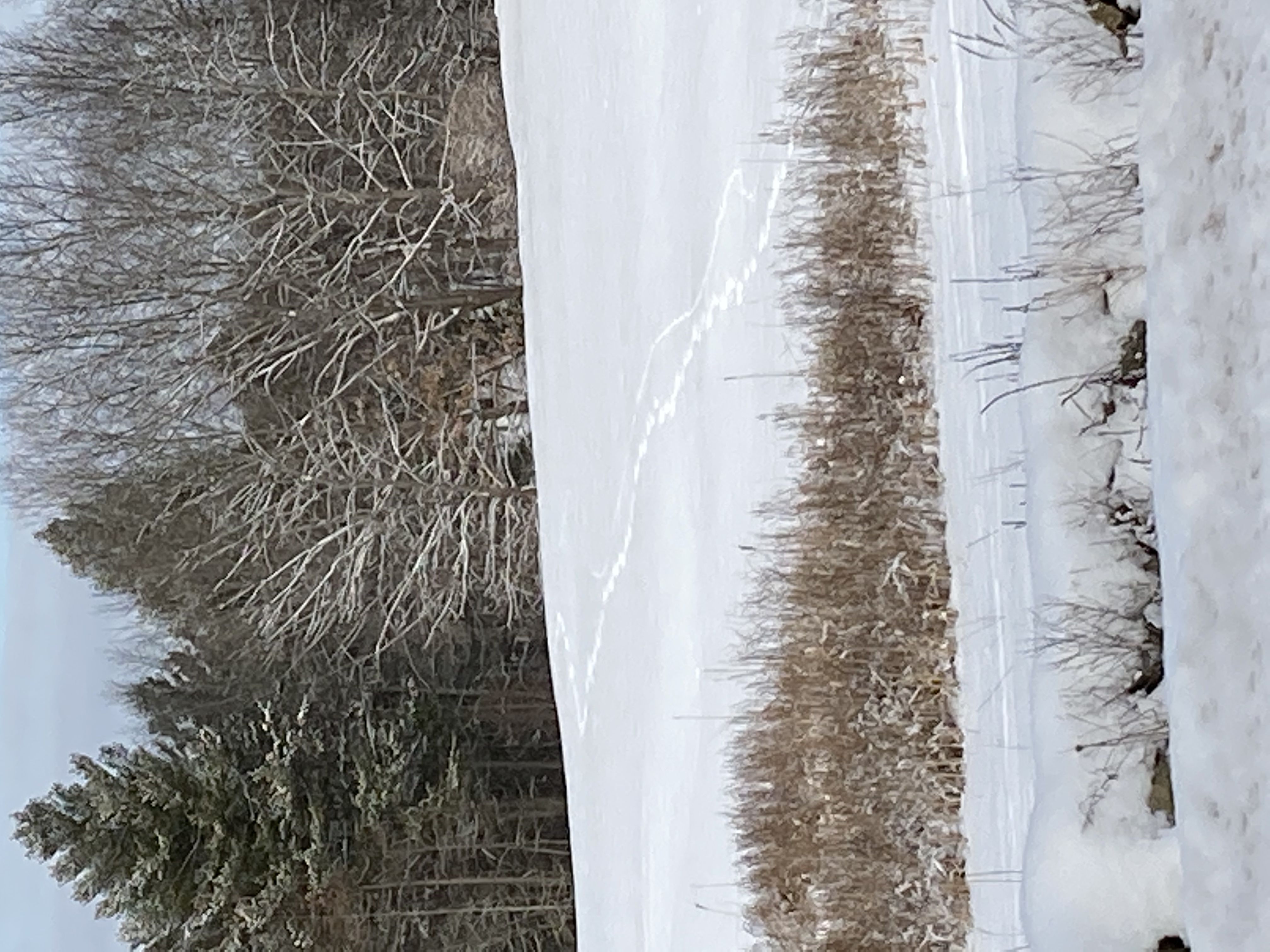
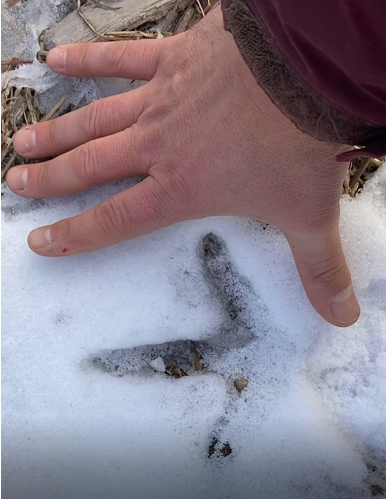
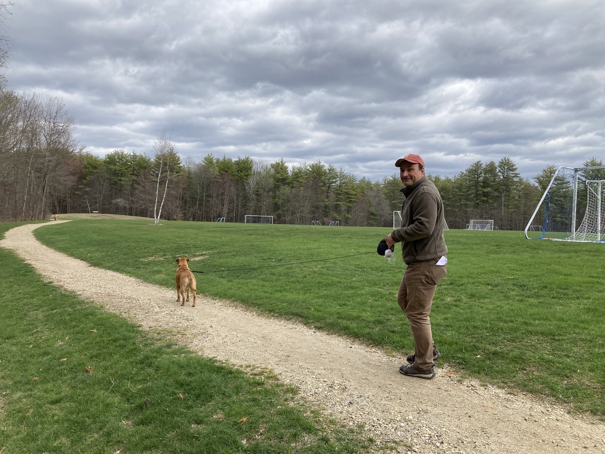
April 3: We see two bald eagles on the Durham Greenway

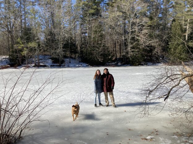
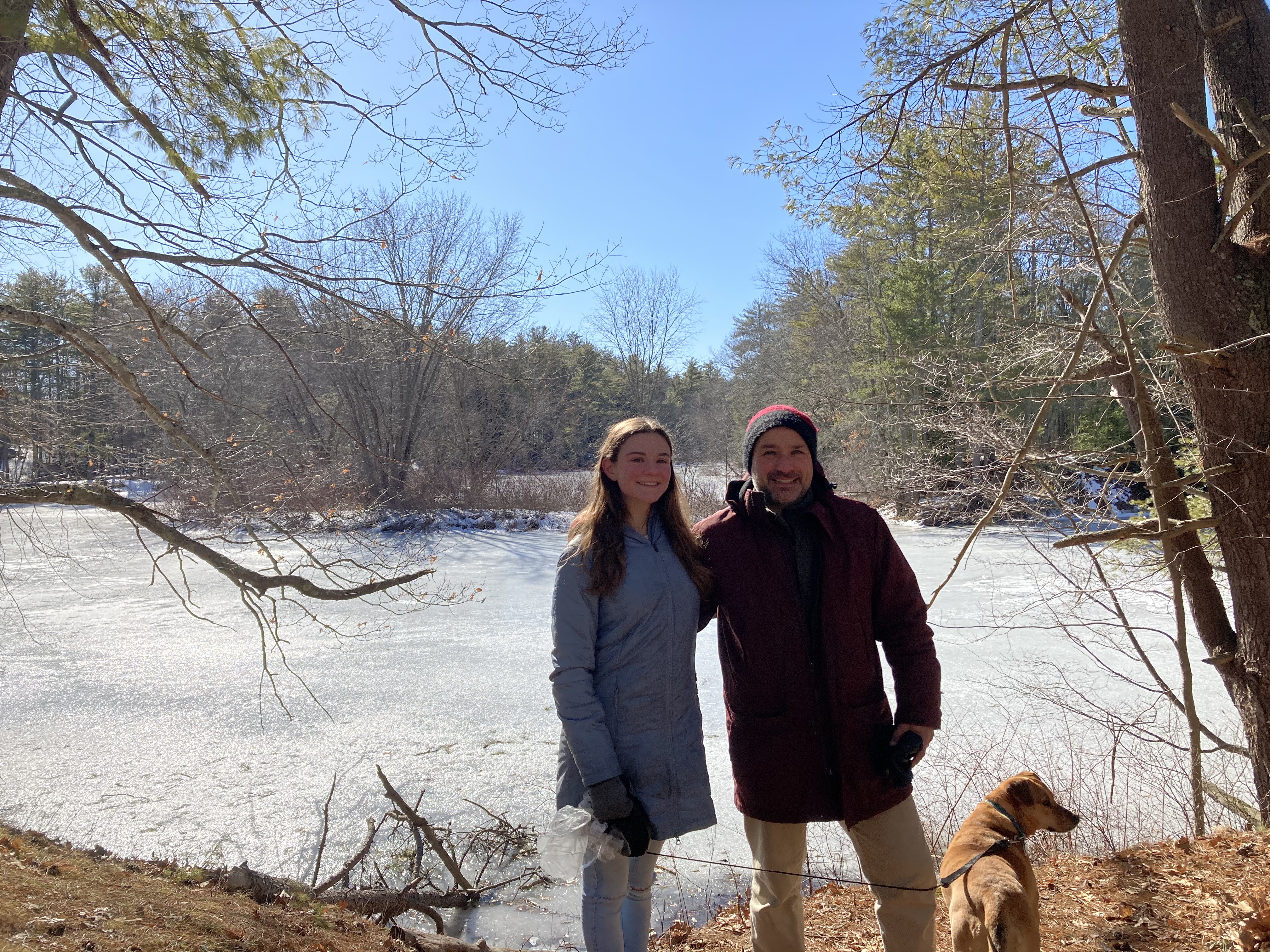
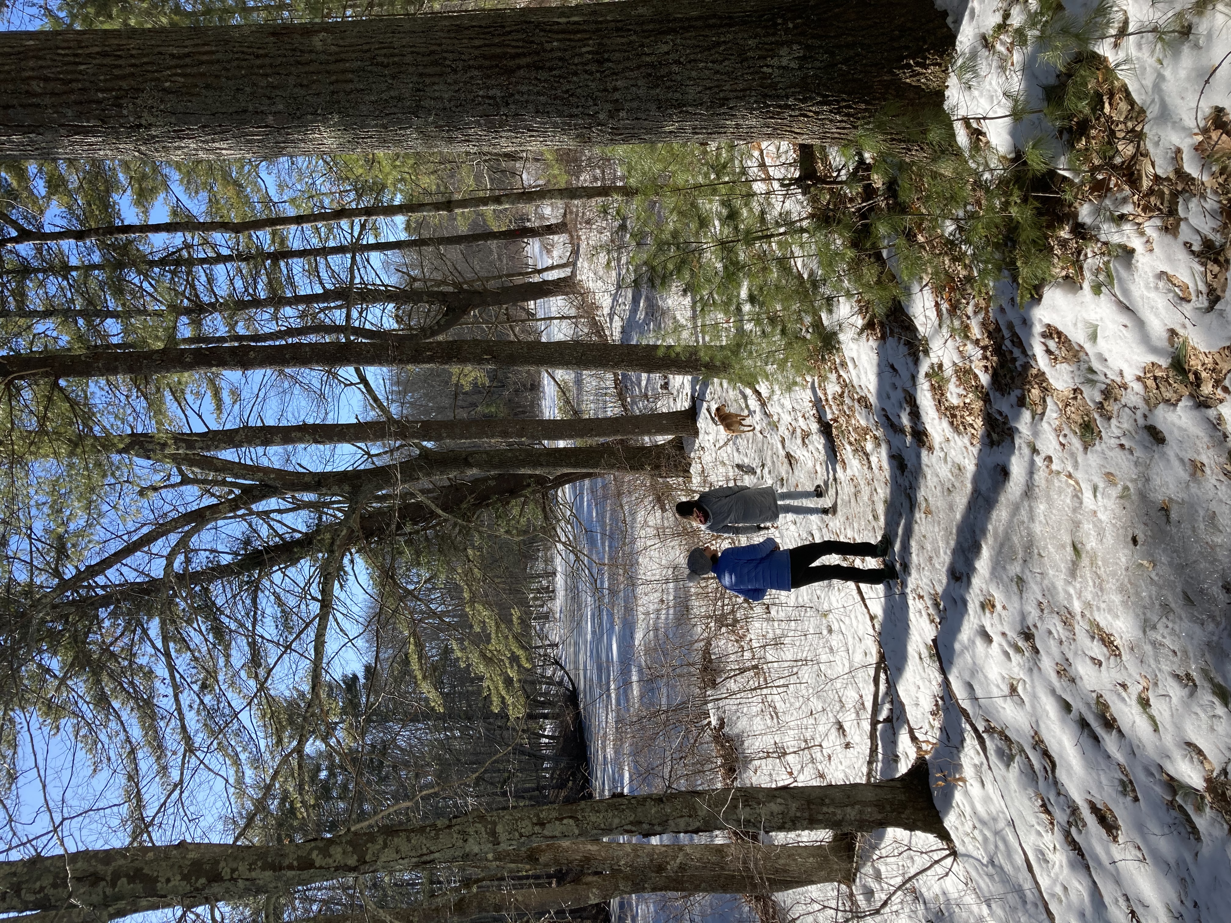
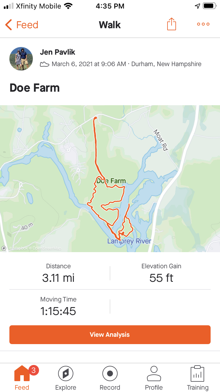
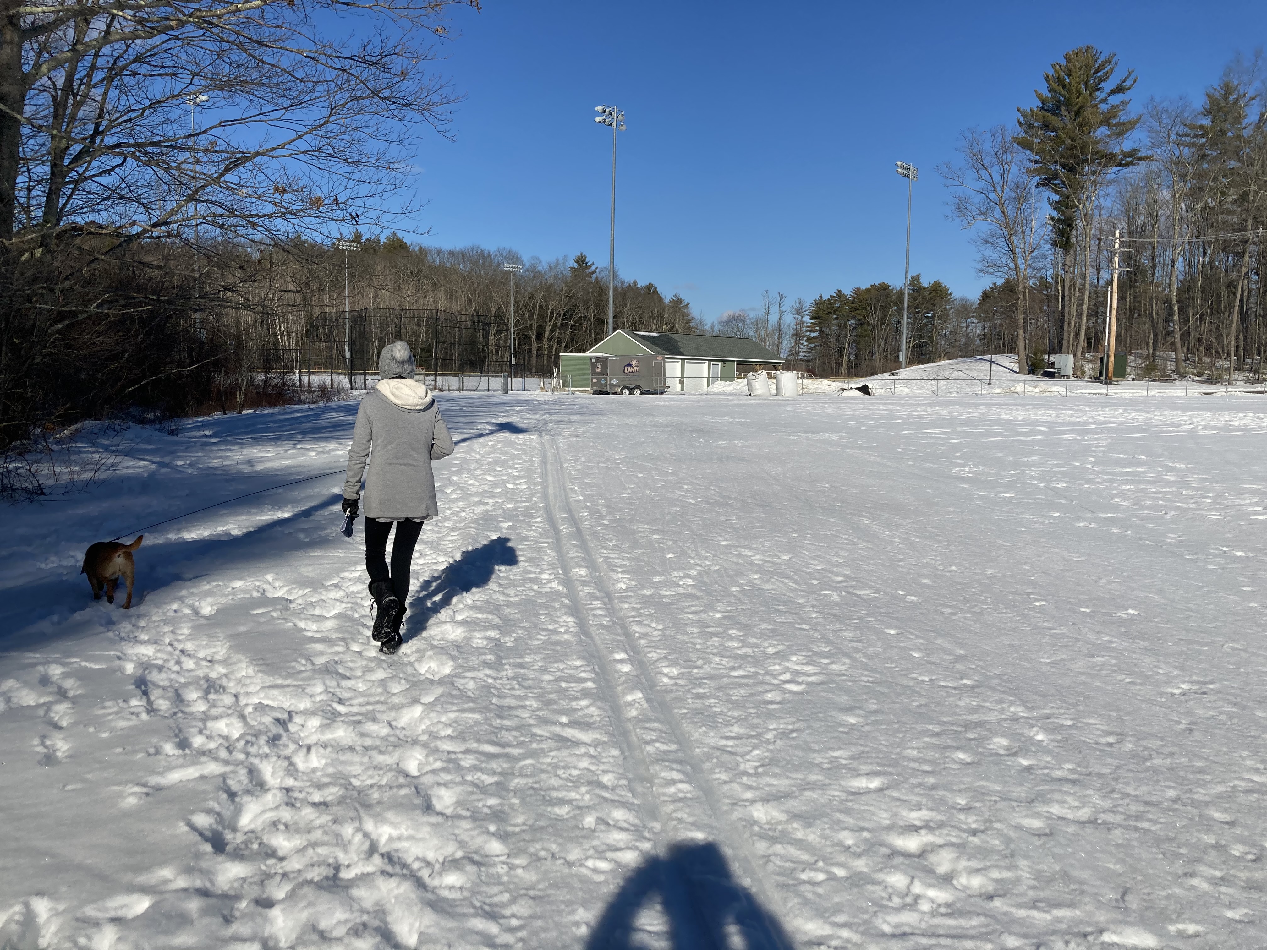
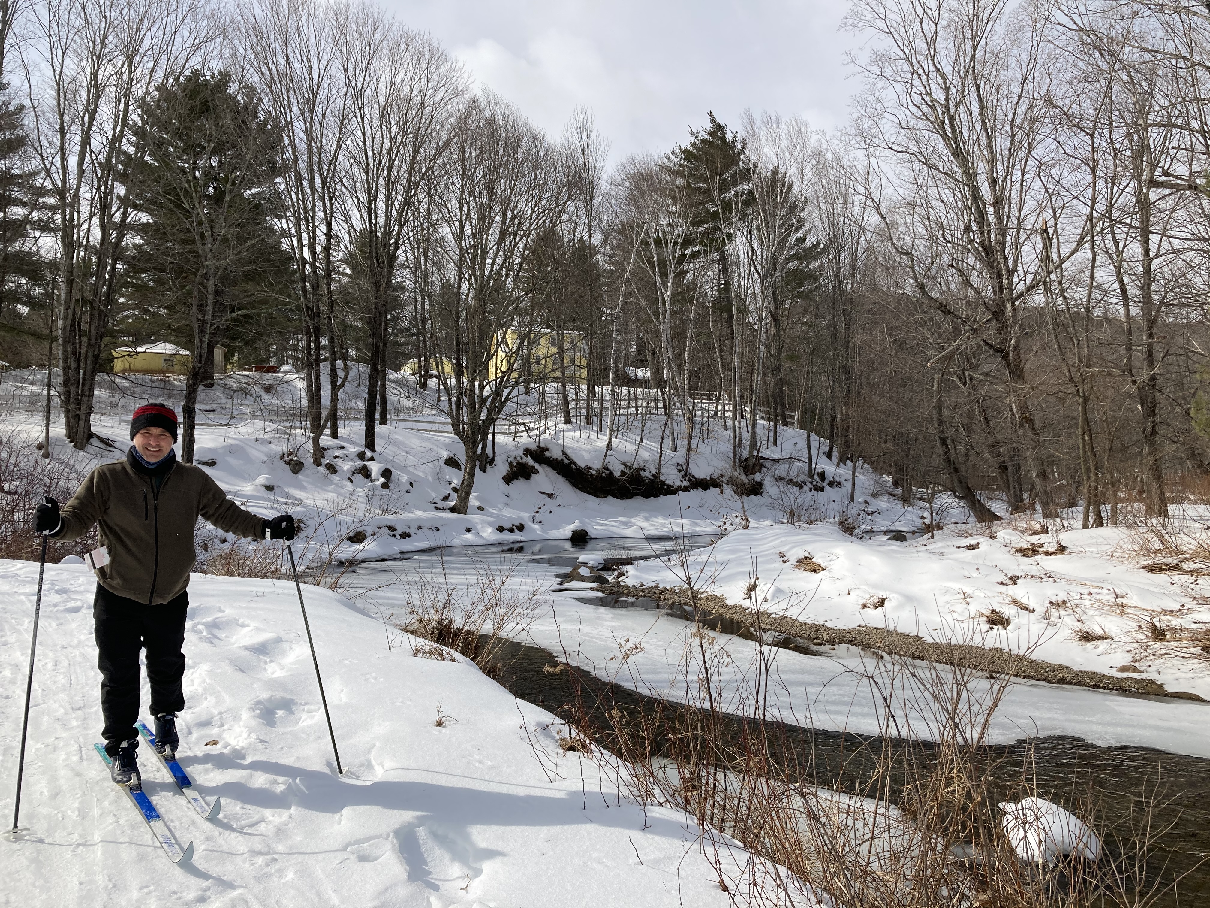
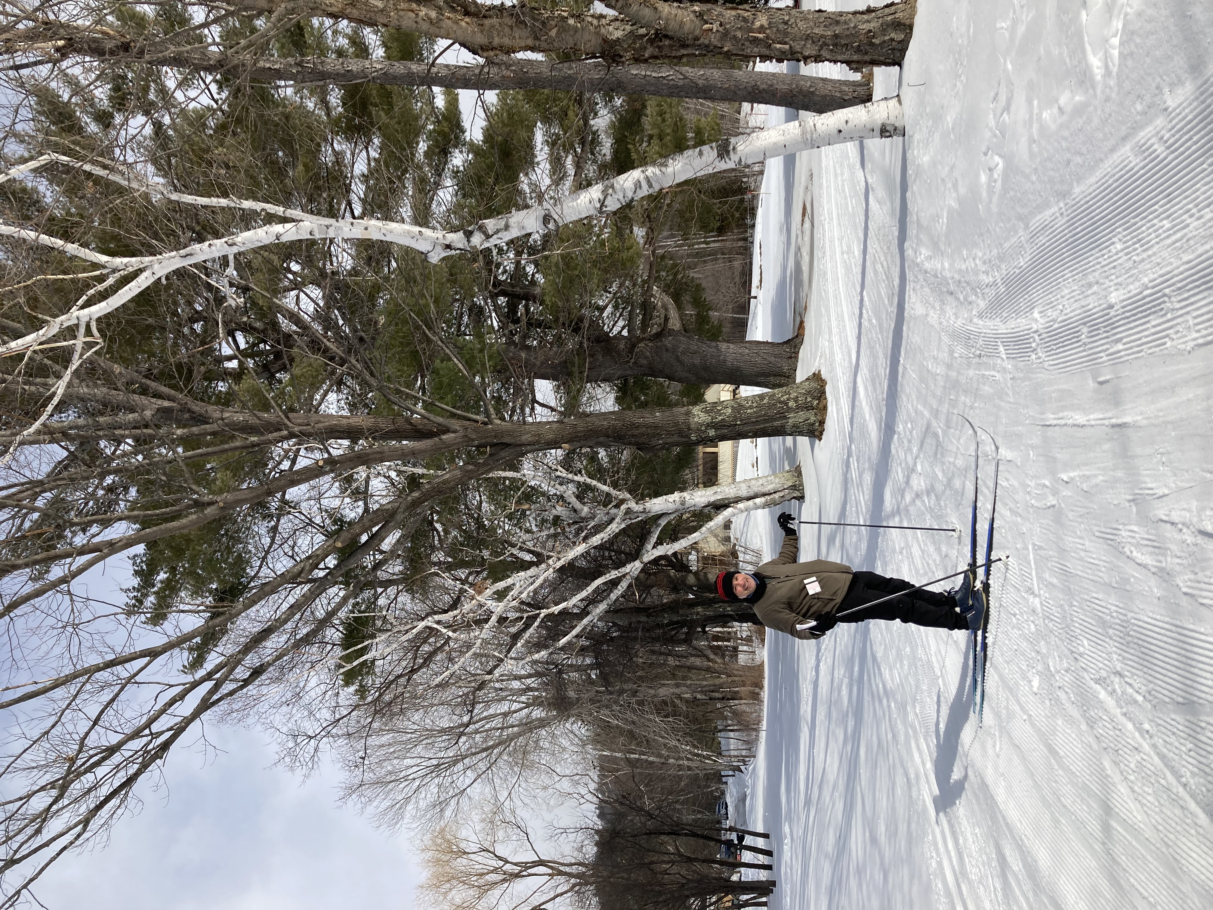
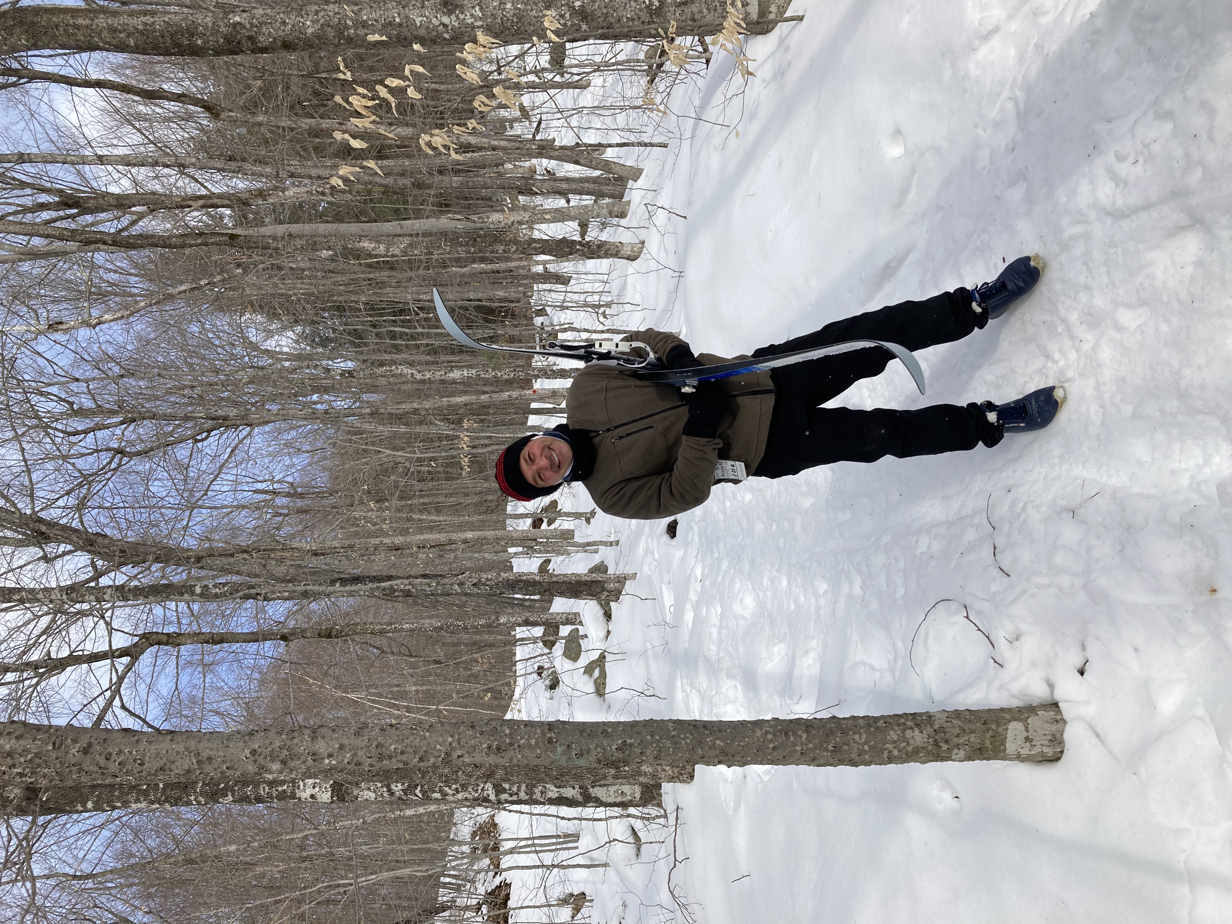
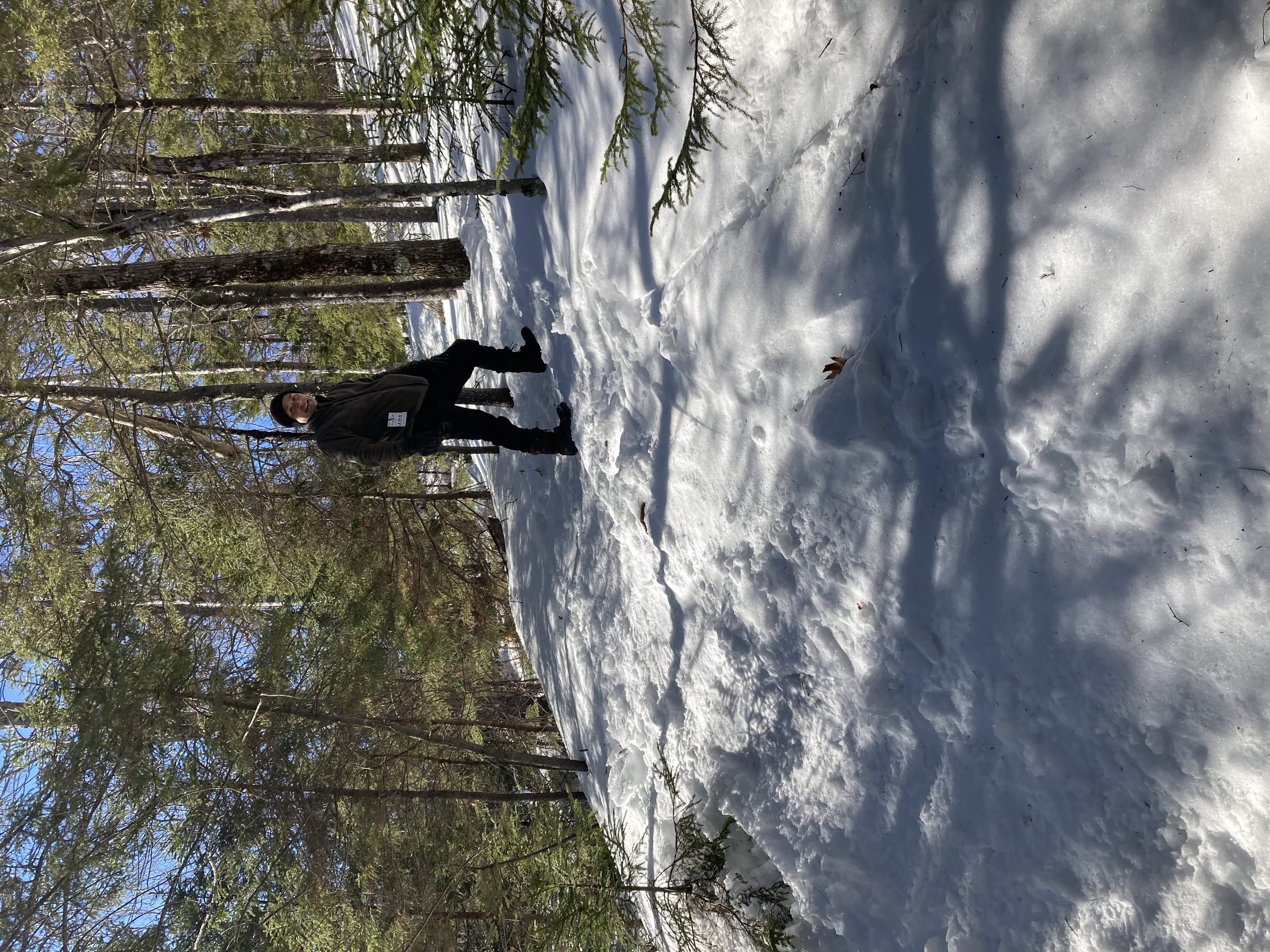
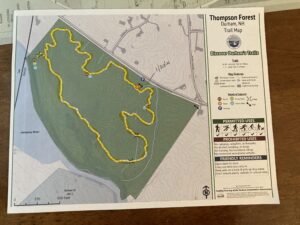
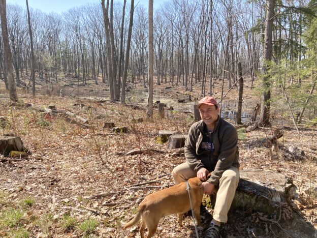
Given that we’ve been stuck pretty much in the same place for over a year, it’s tempting to wish ourselves somewhere else.  But, really, we’ve got everything we need right here.  Look at all the great hiking experiences with in few miles of our house.

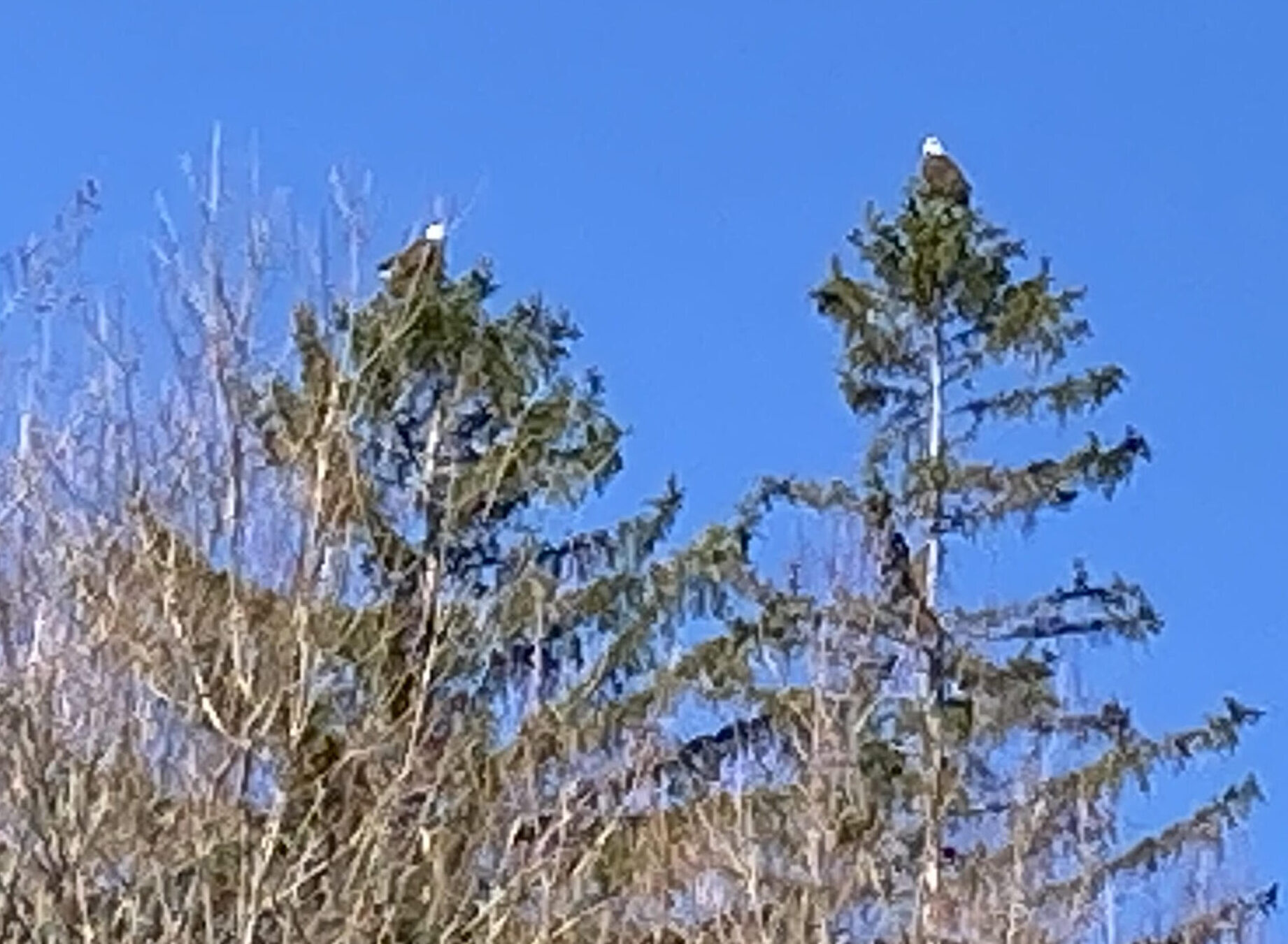
AND LOOK AT THESE TWO BALD EAGLES WE SAW ON OUR MORNING WALK TO THE TOWN LANDING THIS MORNING!

No, that’s not Alaska.  That’s the two tallest trees looming over the Three Chimneys Inn.  The two tallest trees looming over the Three Chimneys Inn were each adorned with it own bald eagle this morning, and we were there to witness it.

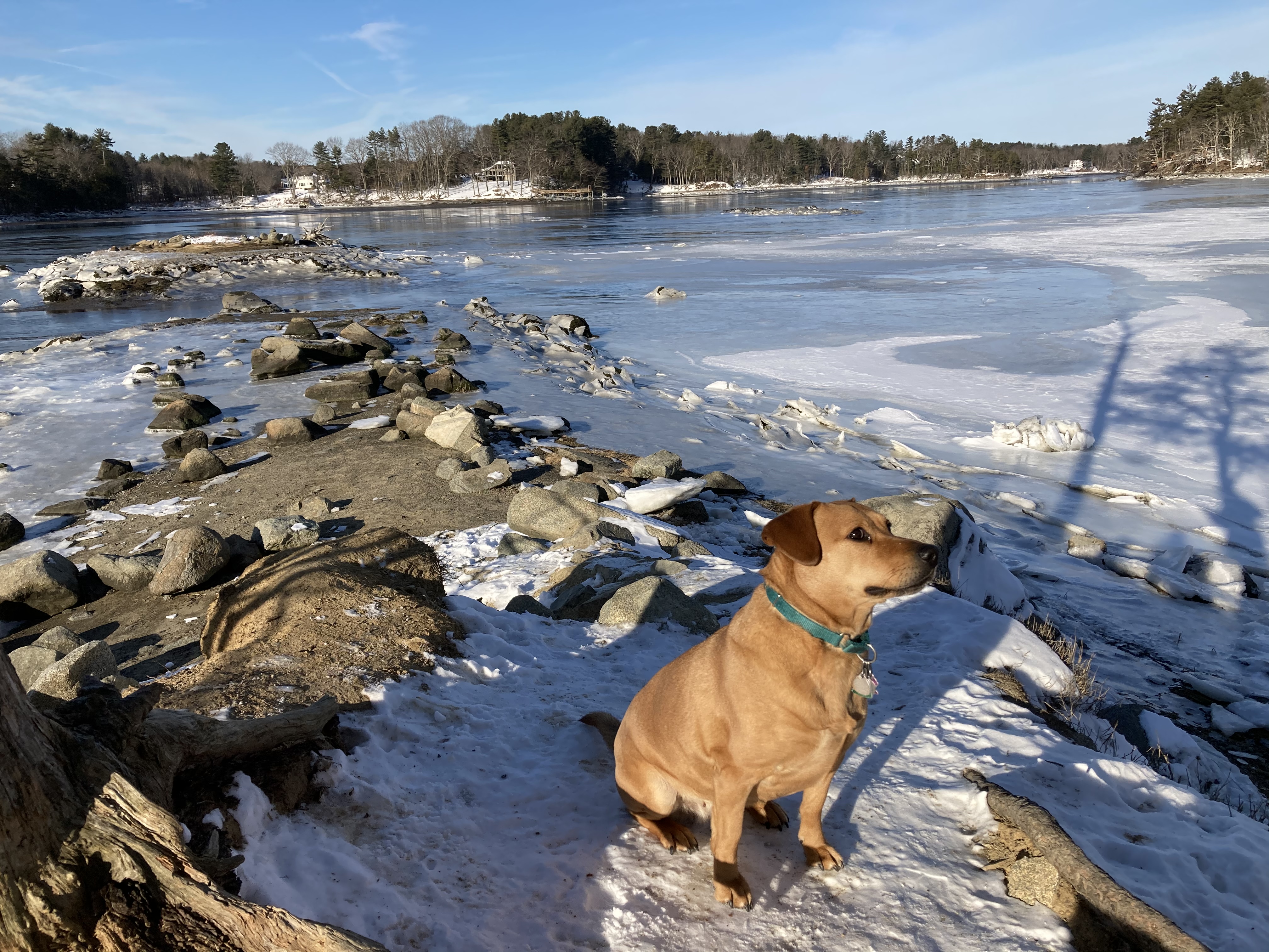
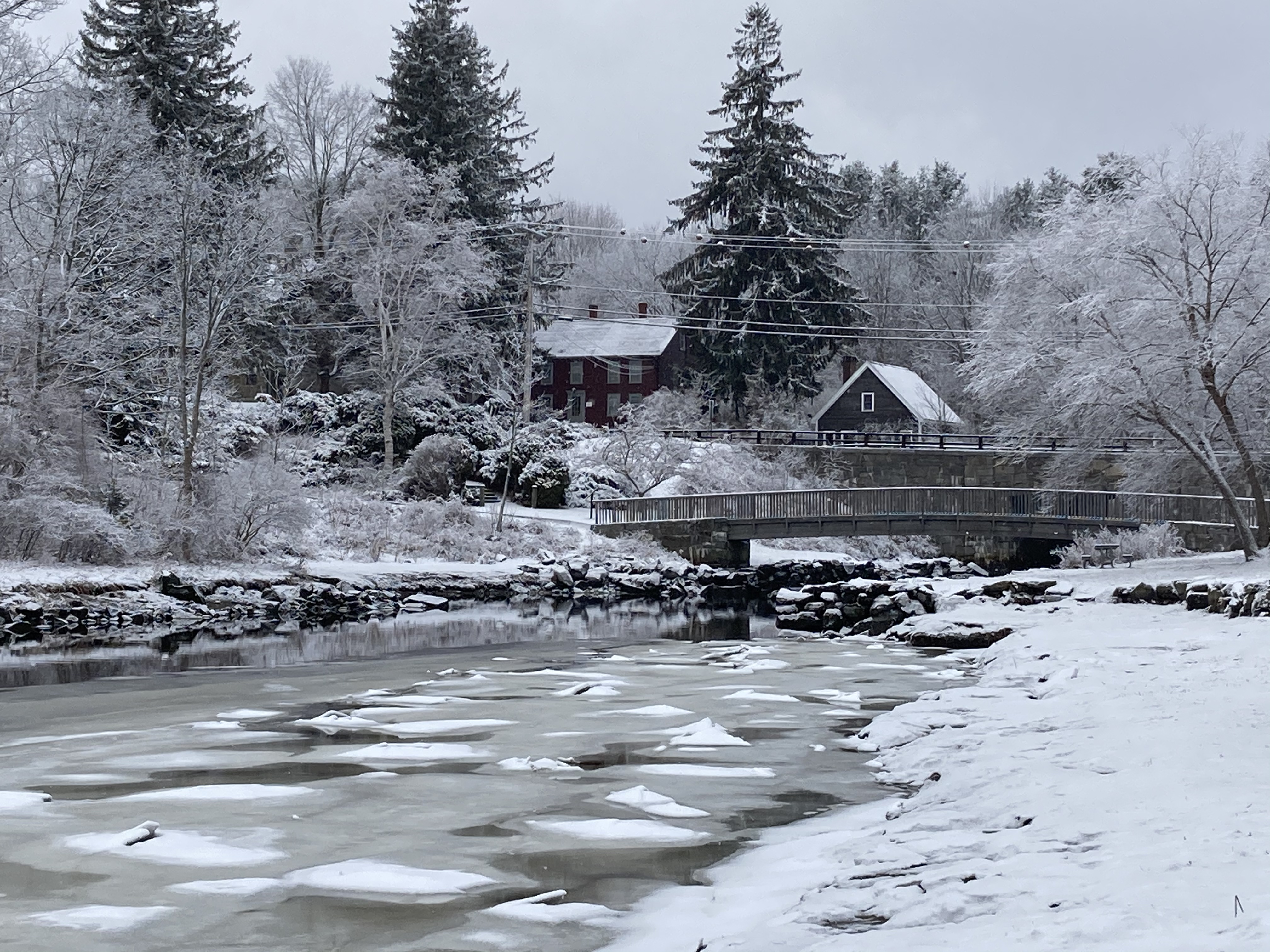
It was not the first time we saw a bald eagle on our walk along the Durham Greenway, but it was the first time we, or probably anybody else, saw two awesome bald eagles standing out in full relief against the light blue morning sky over our town, which is in New Hampshire and not Colorado, or somewhere else where one might expect to see such a thing.

God Bless America.


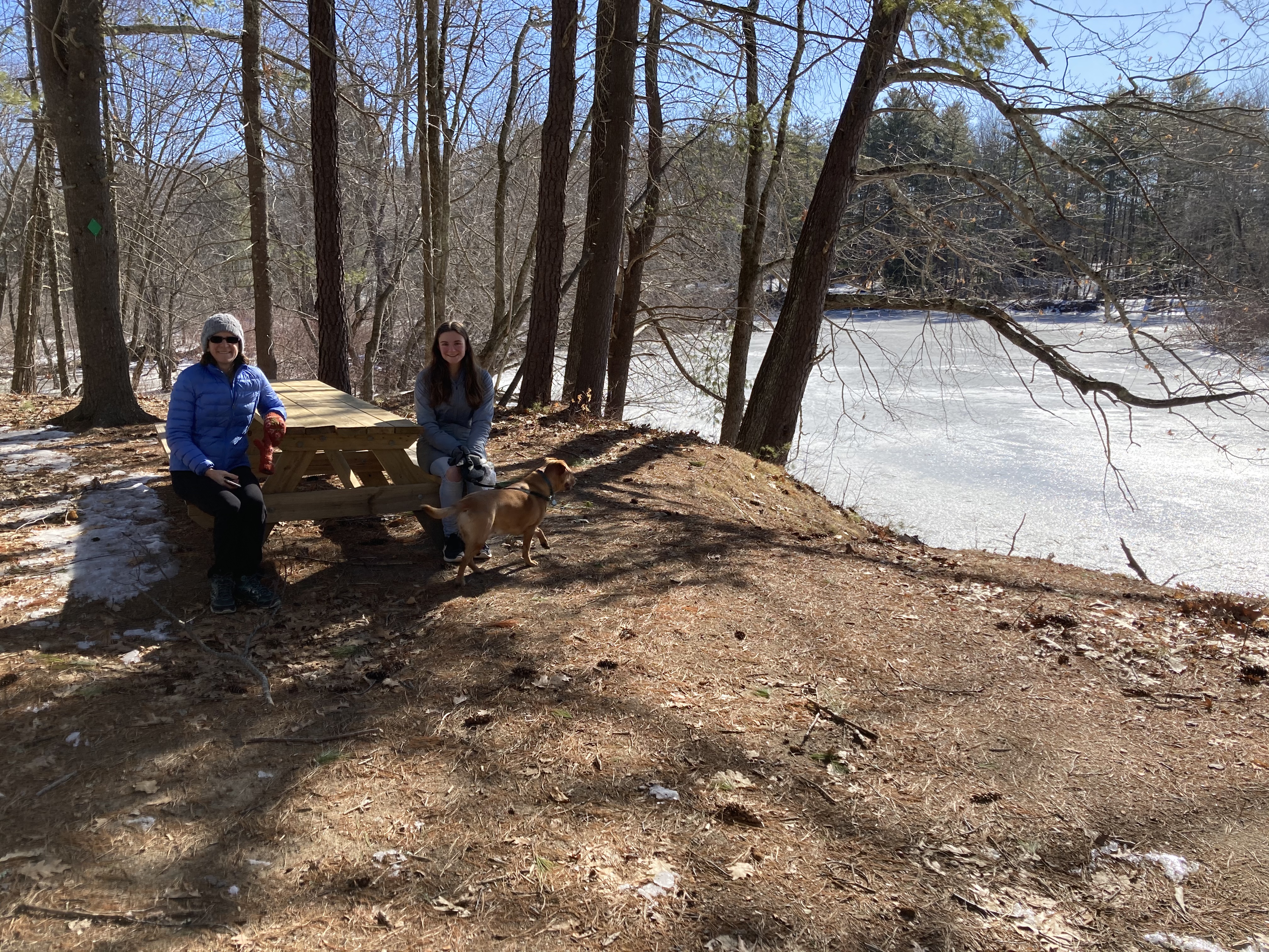
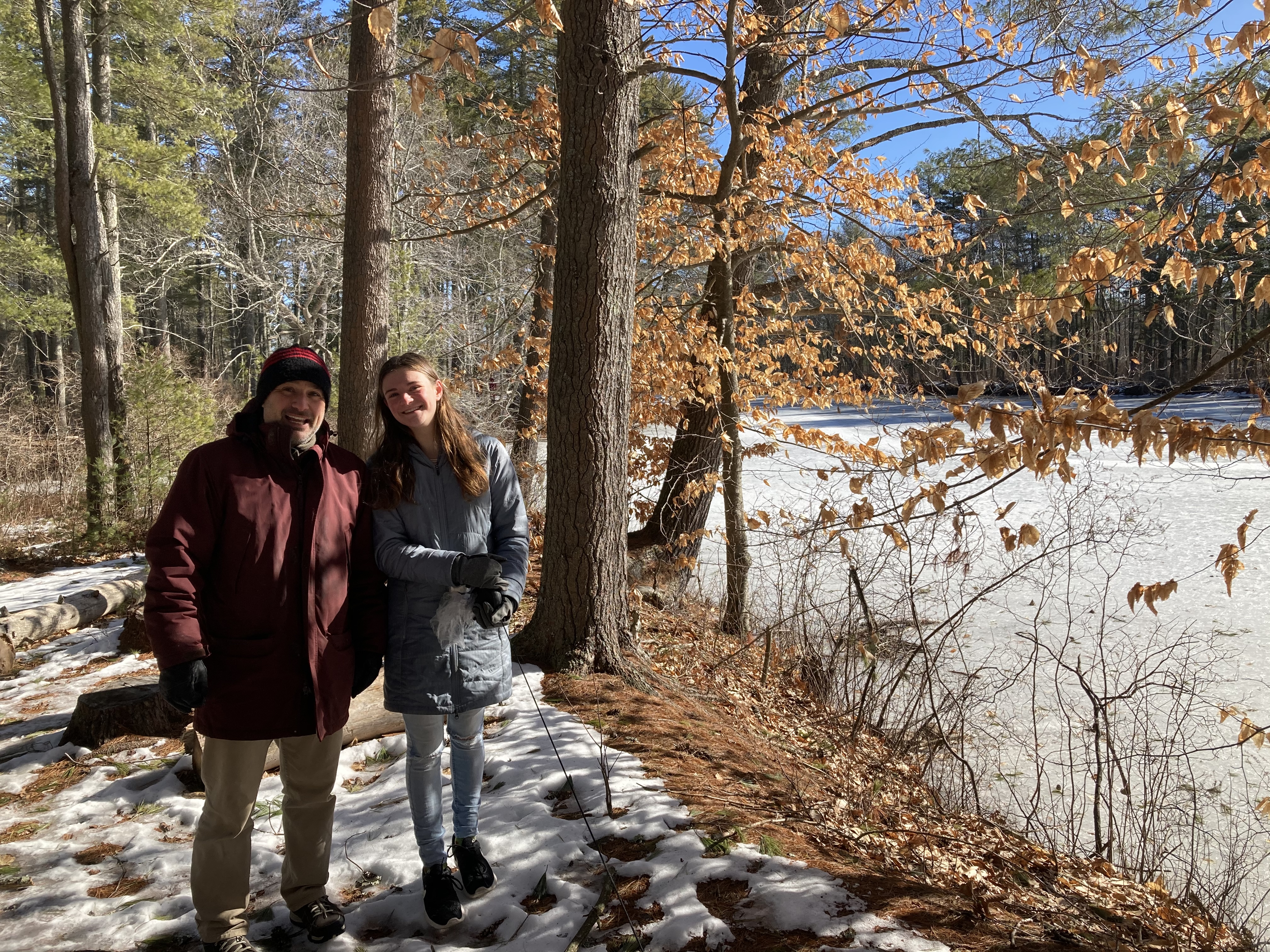
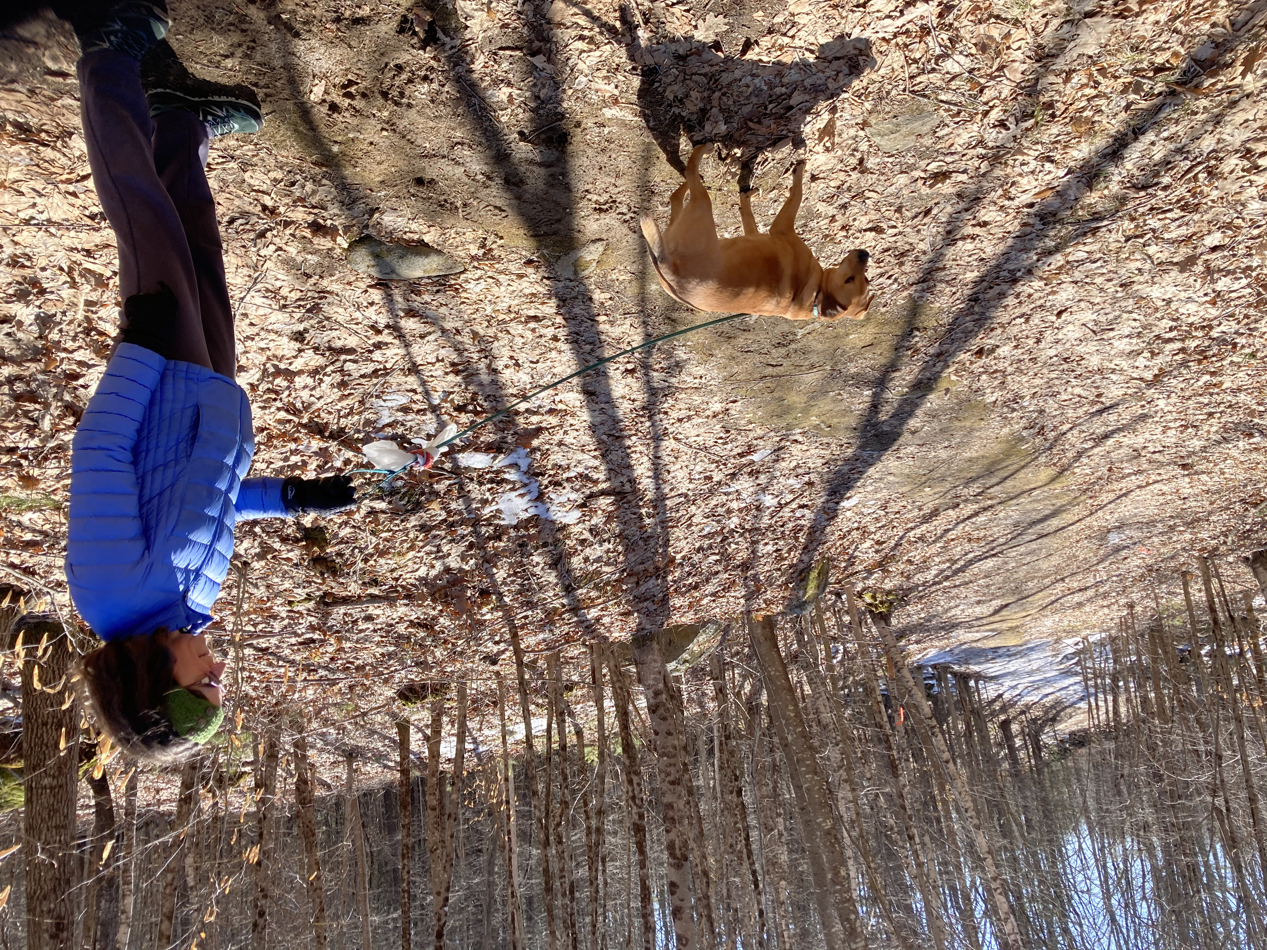
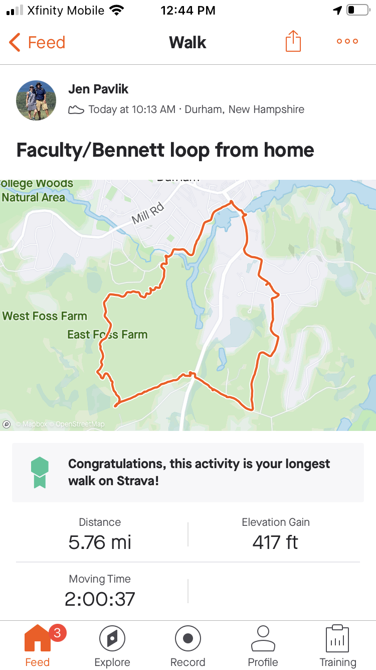
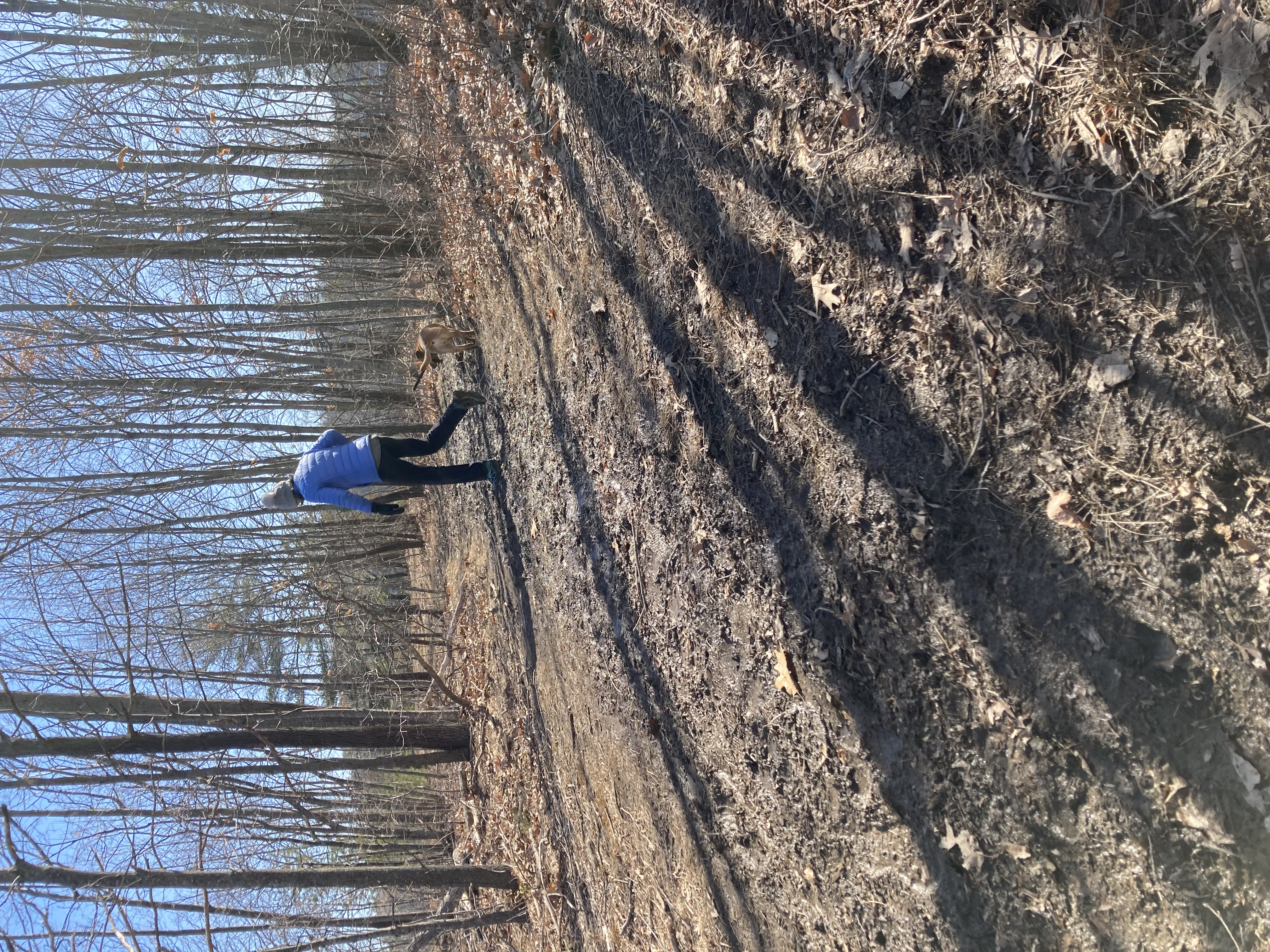
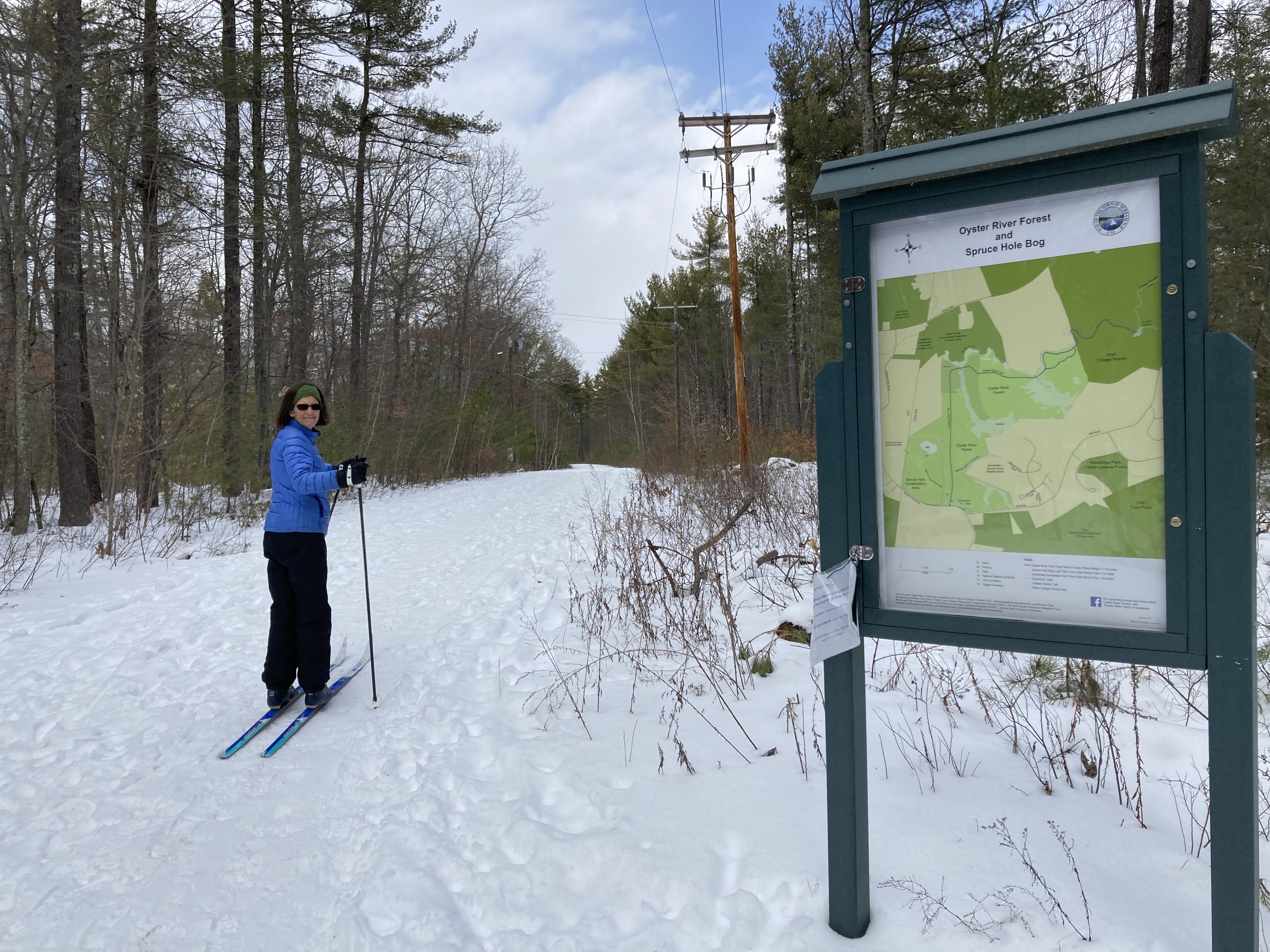
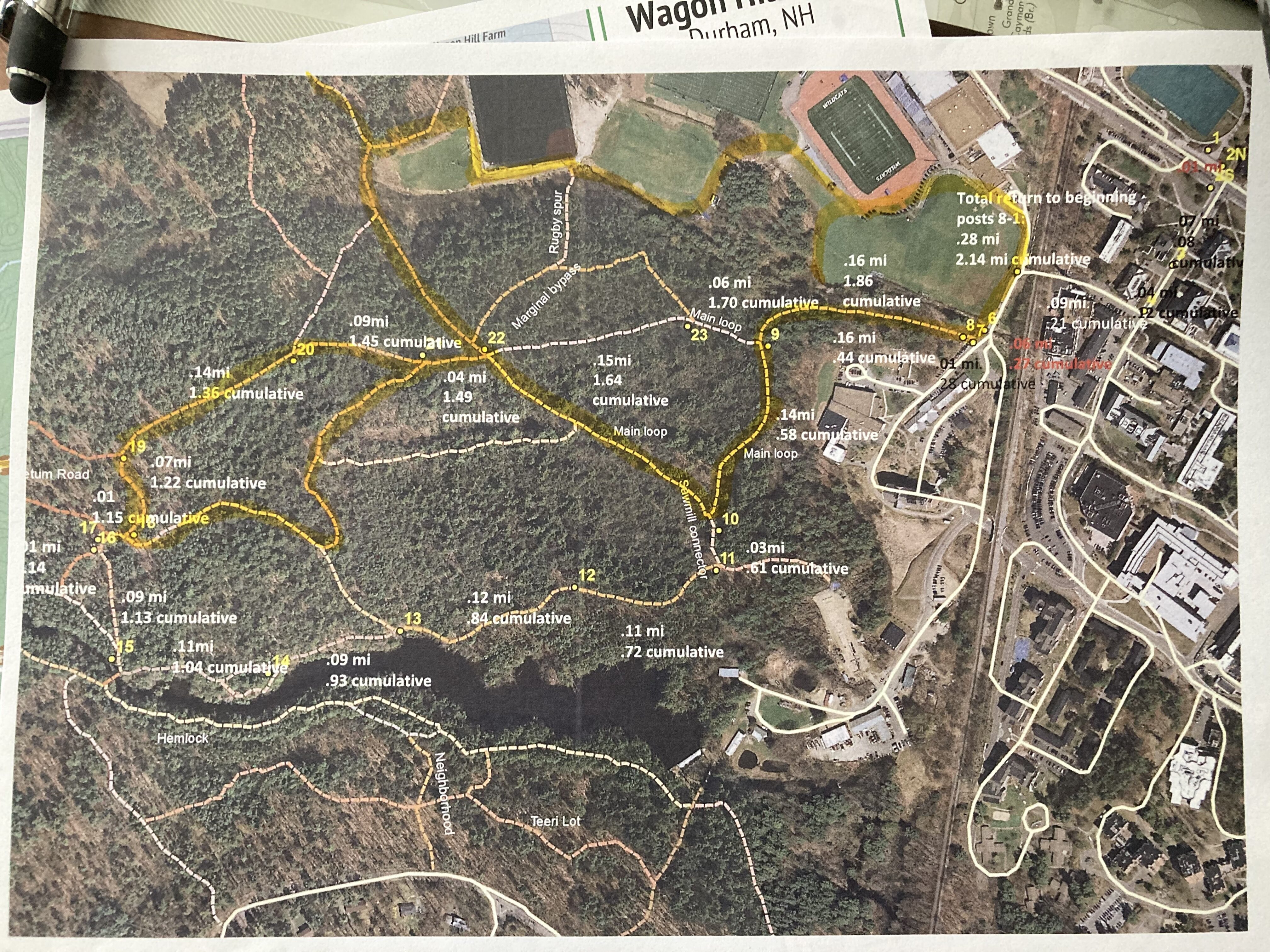
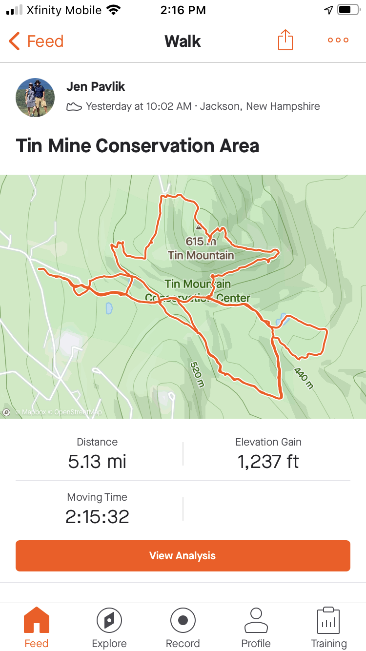
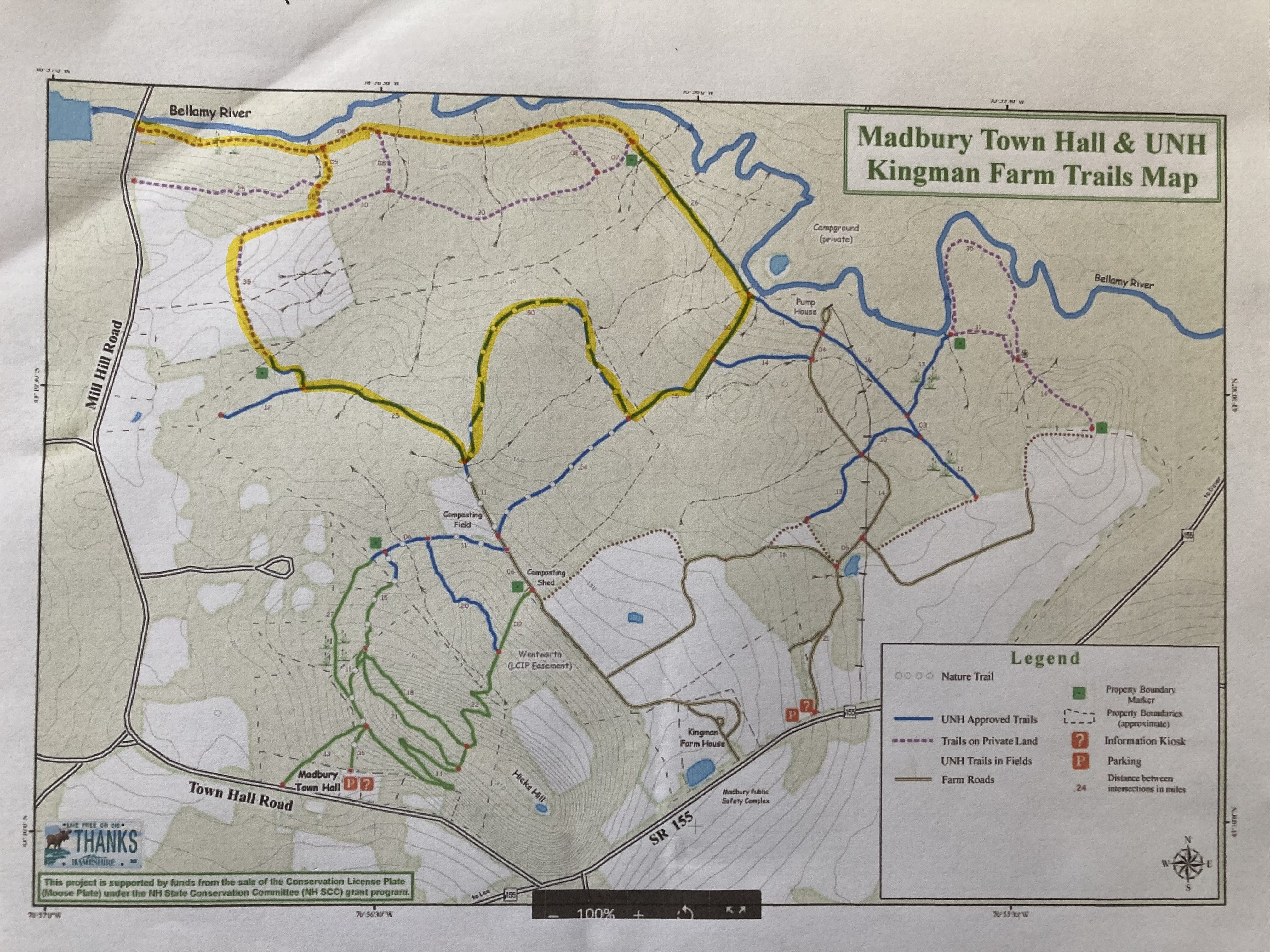
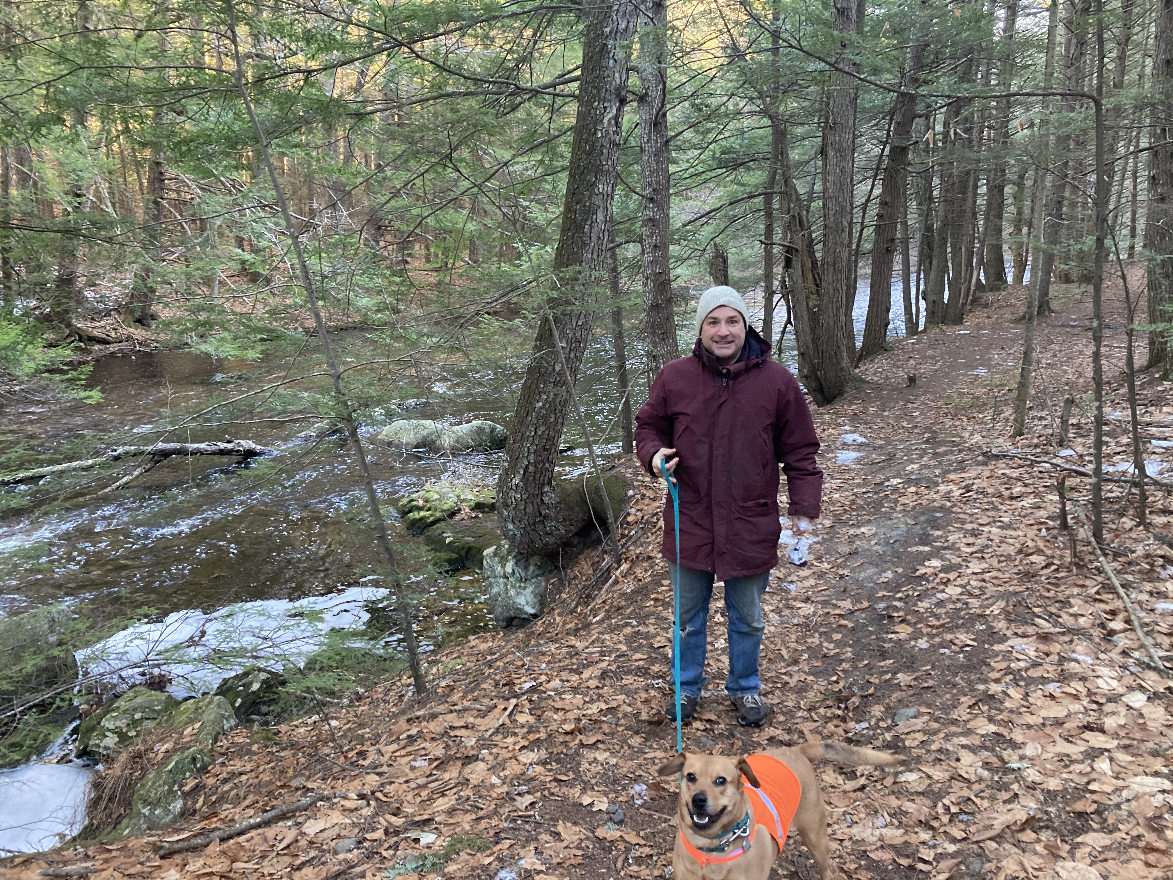
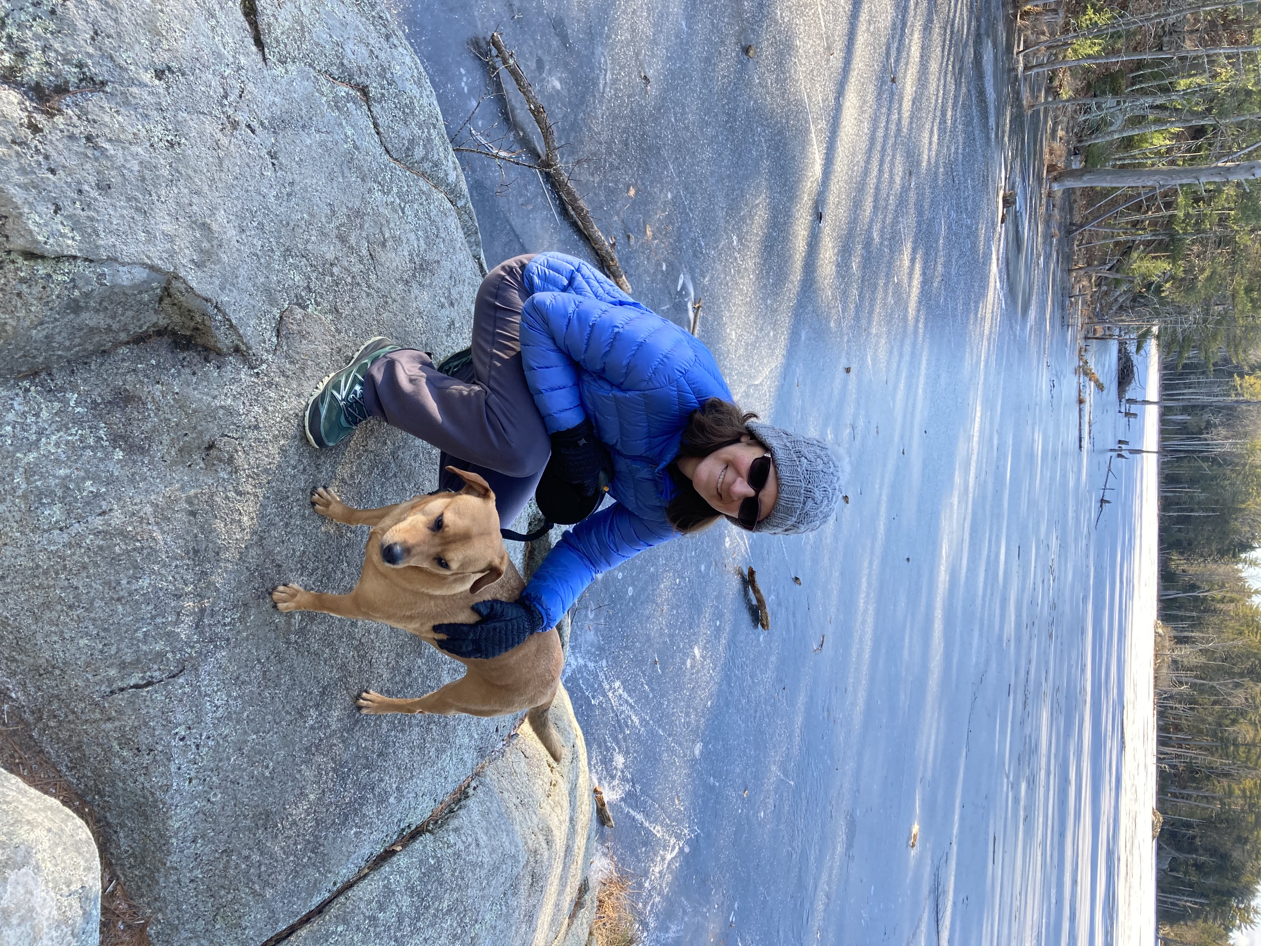
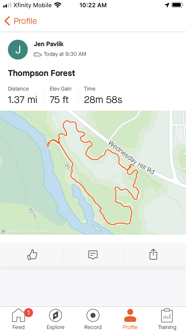
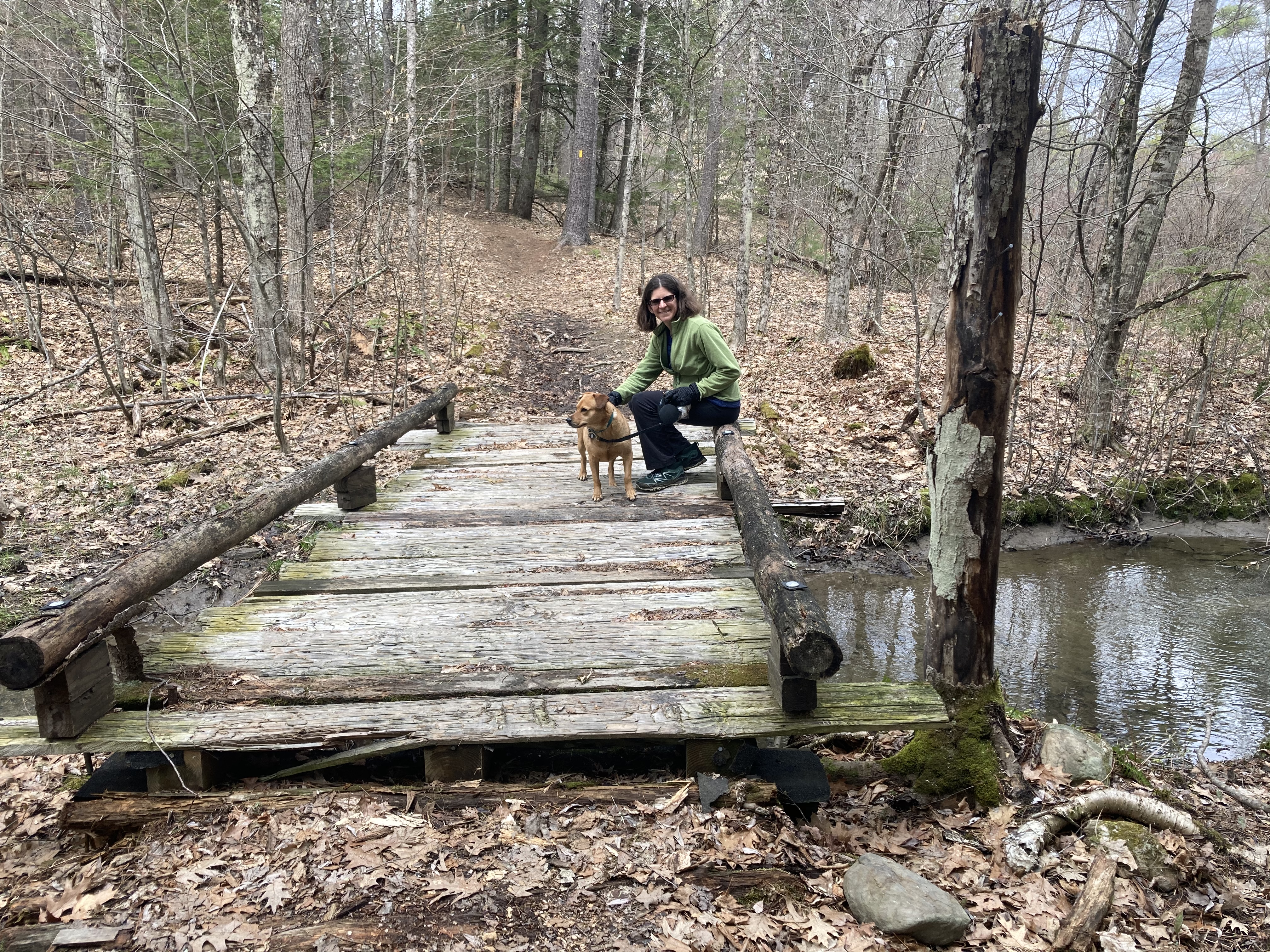
April 18: Moharimet Woods/Powder Major Trails 

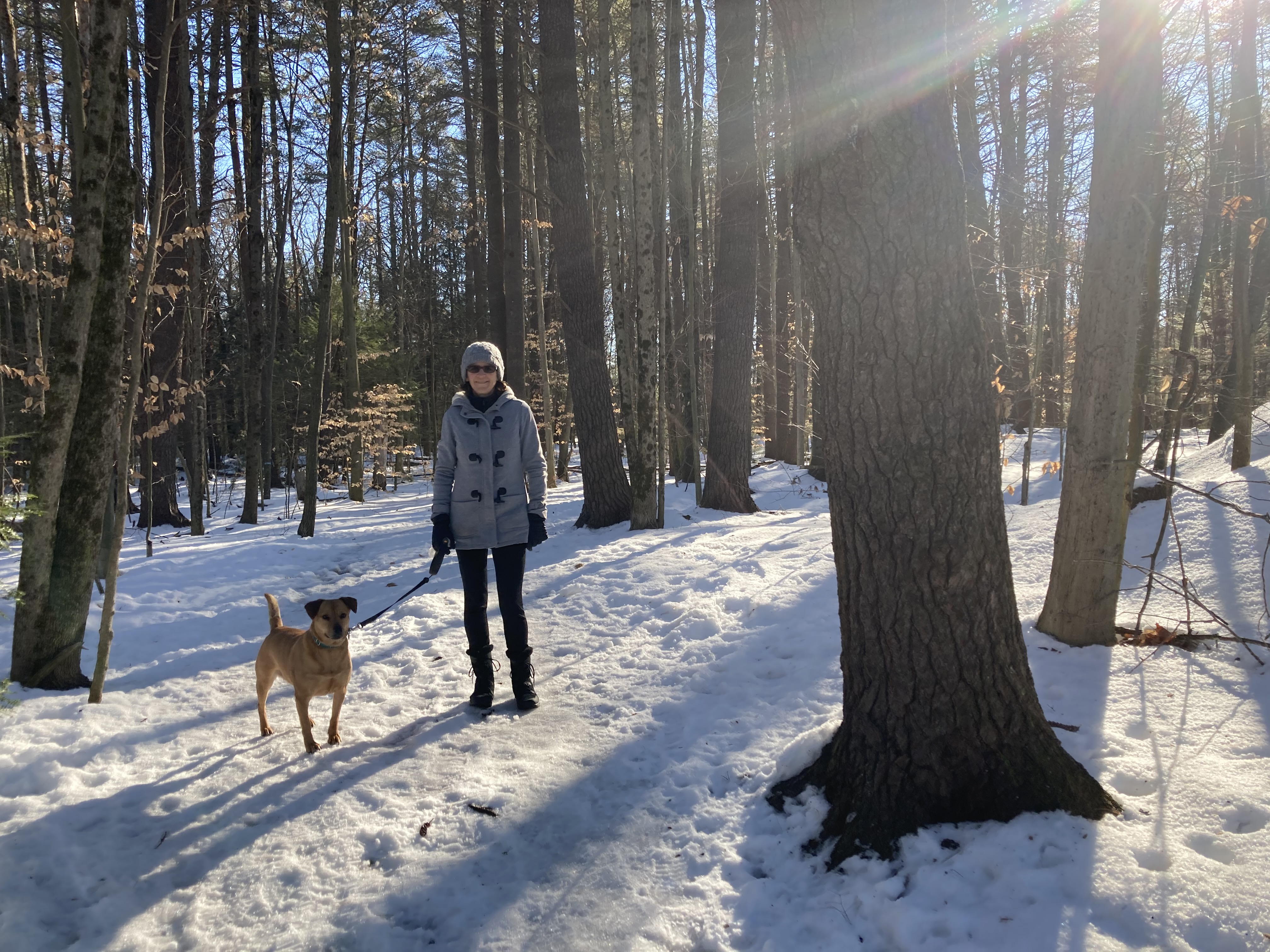
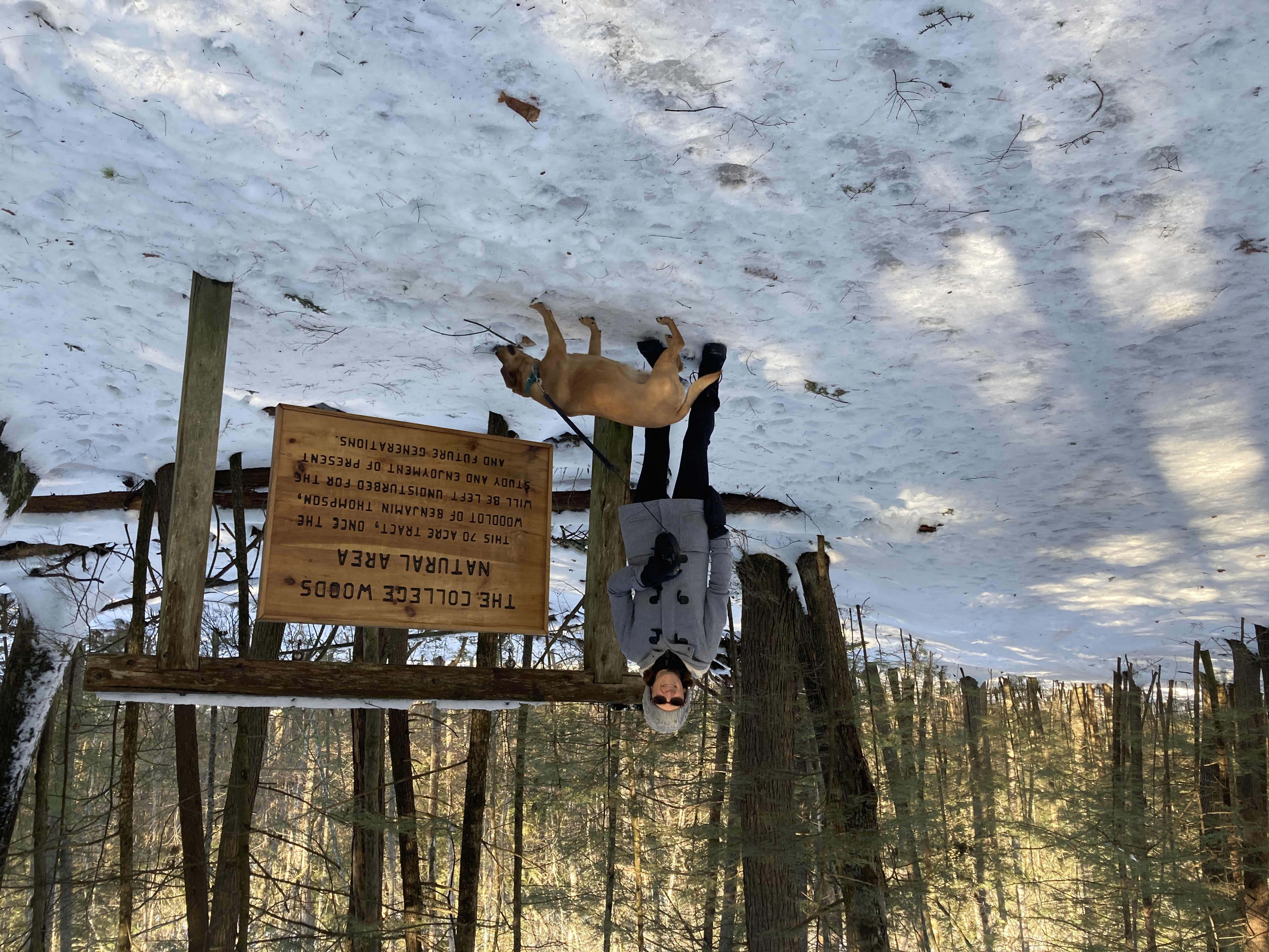
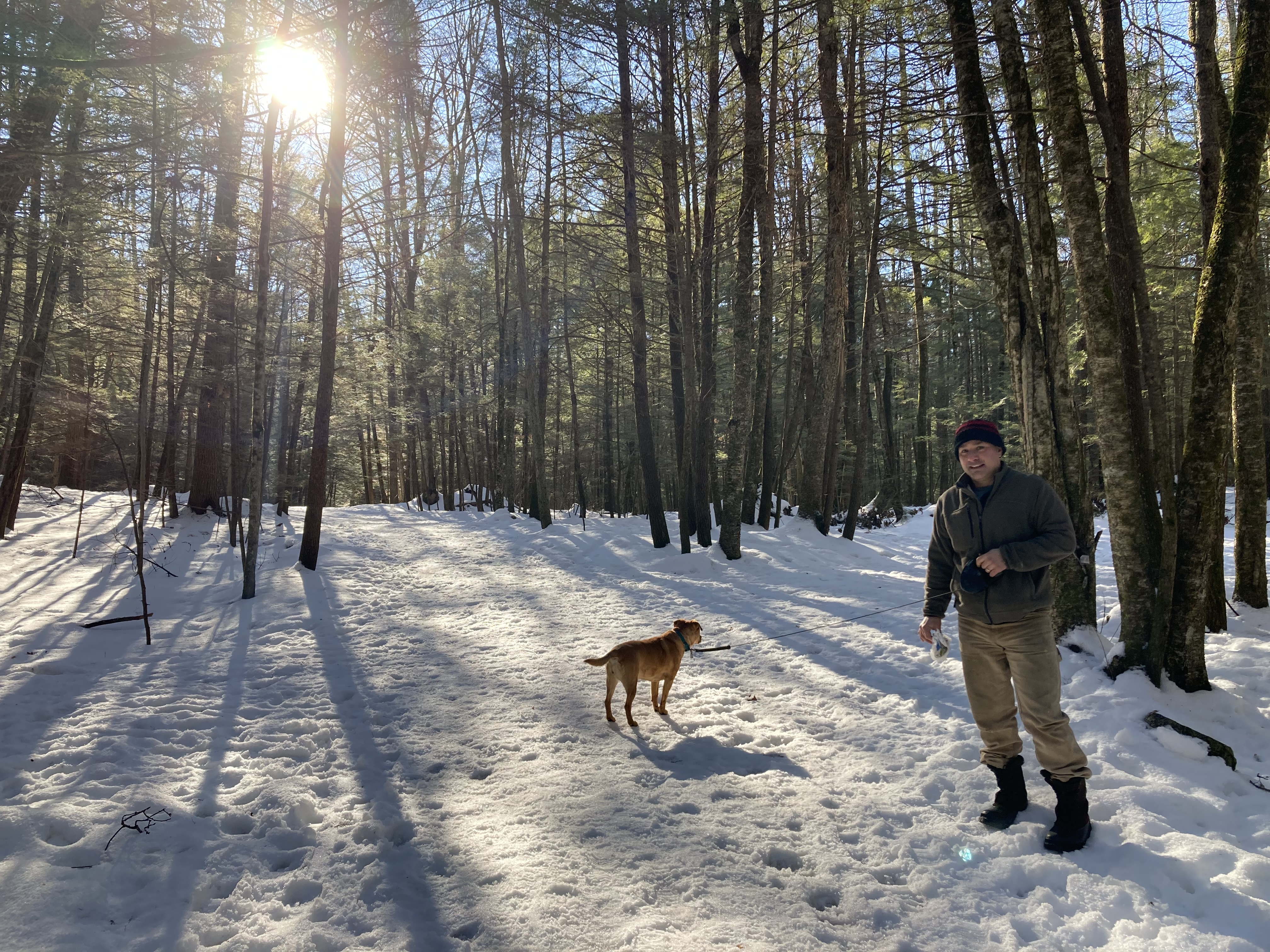
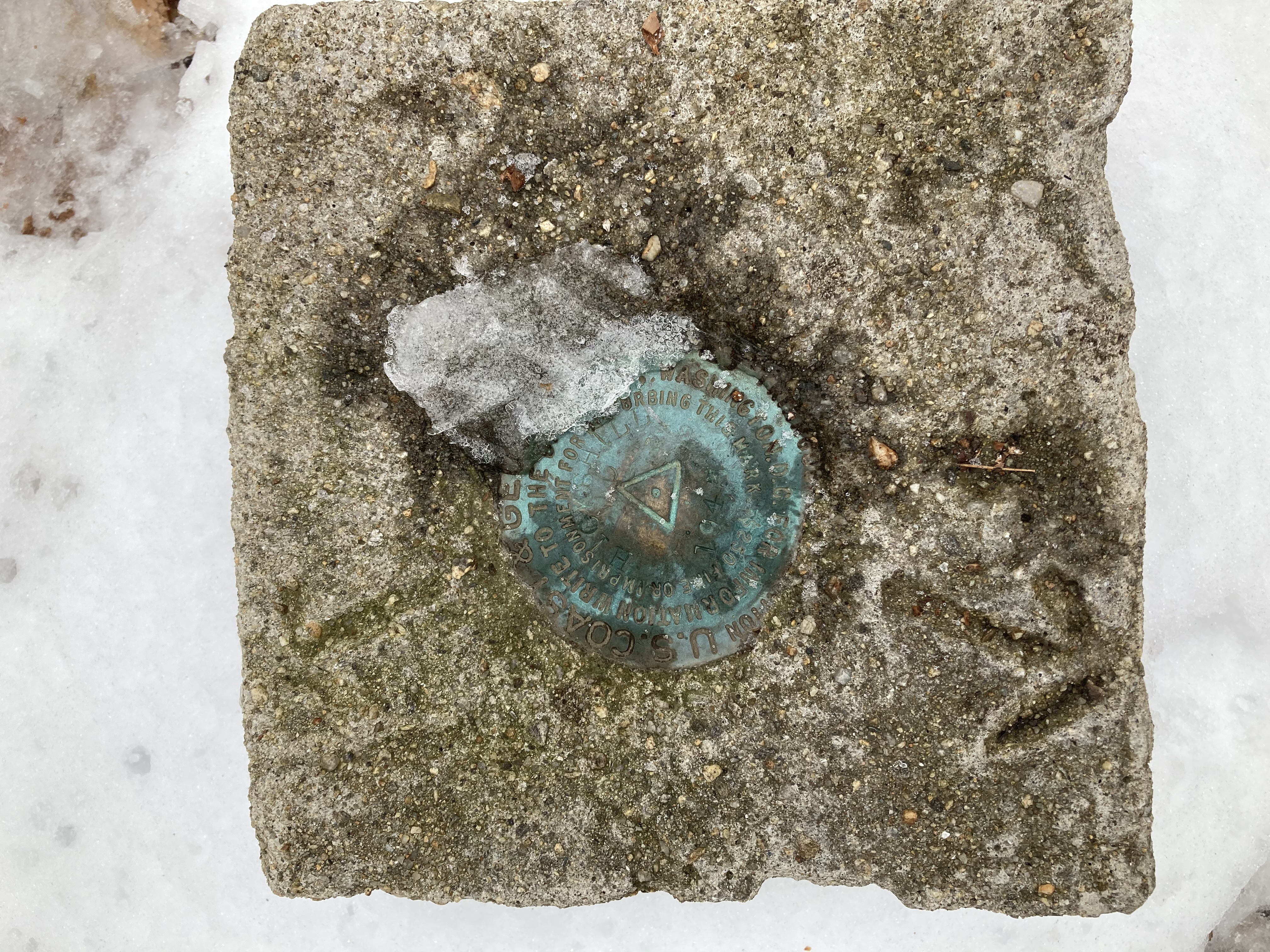
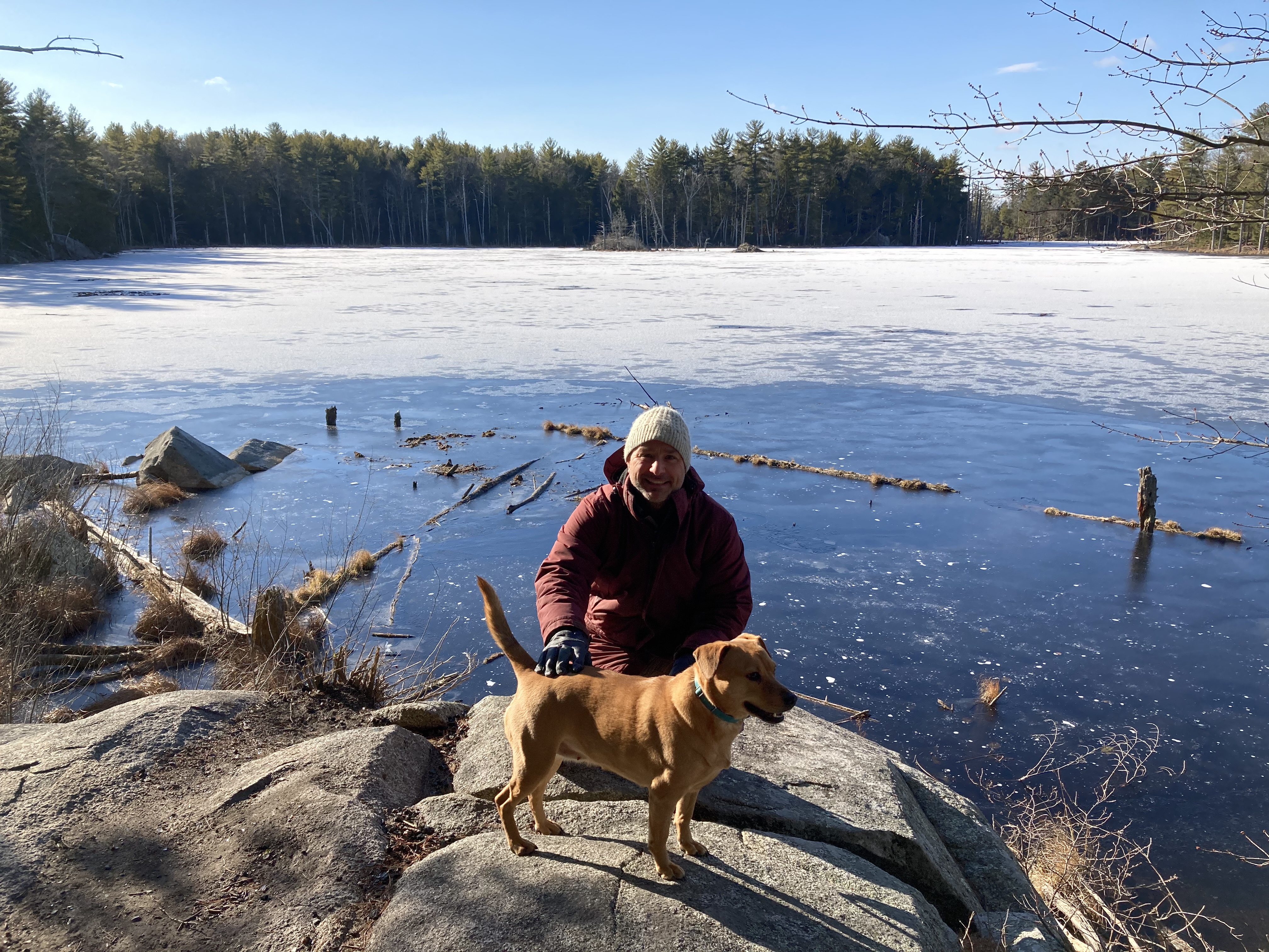
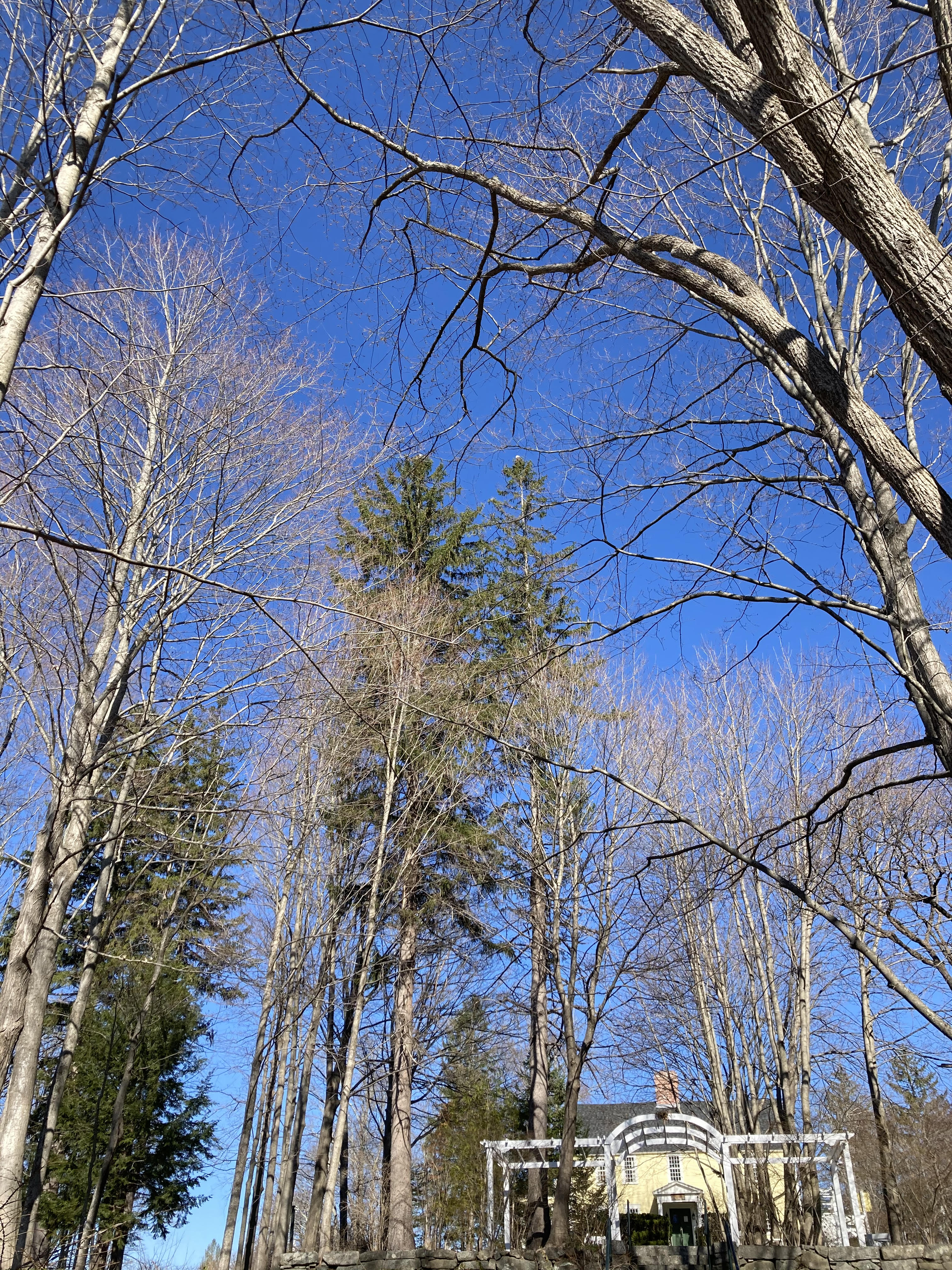
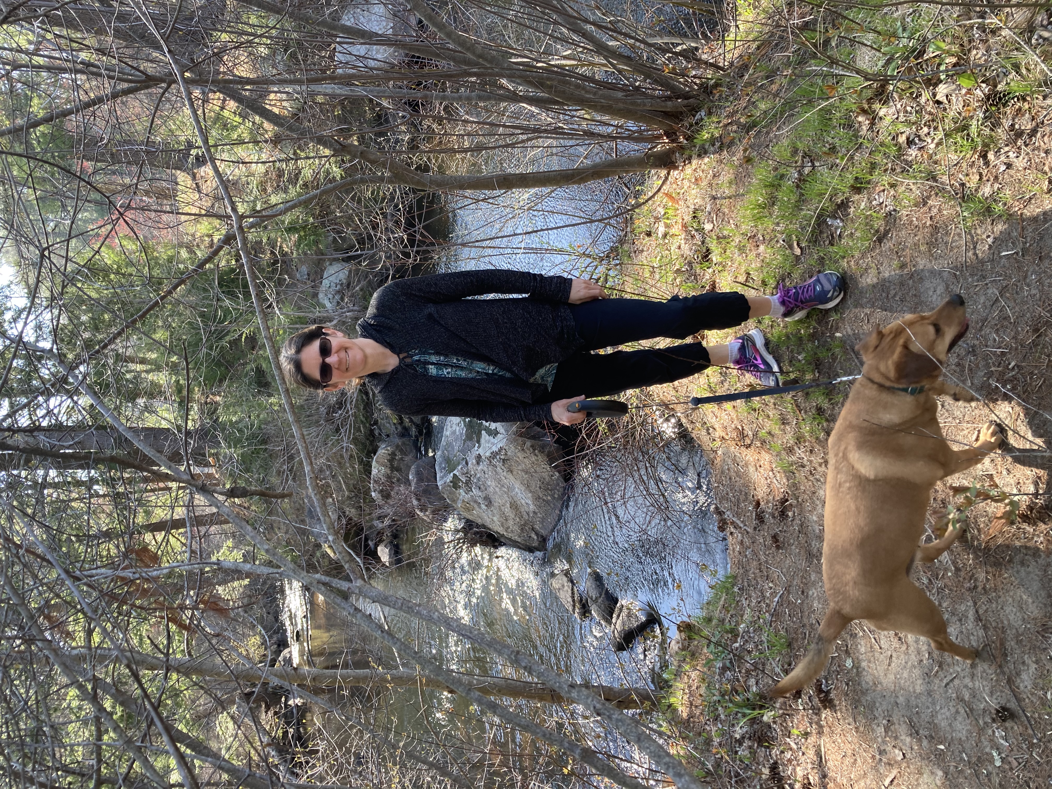
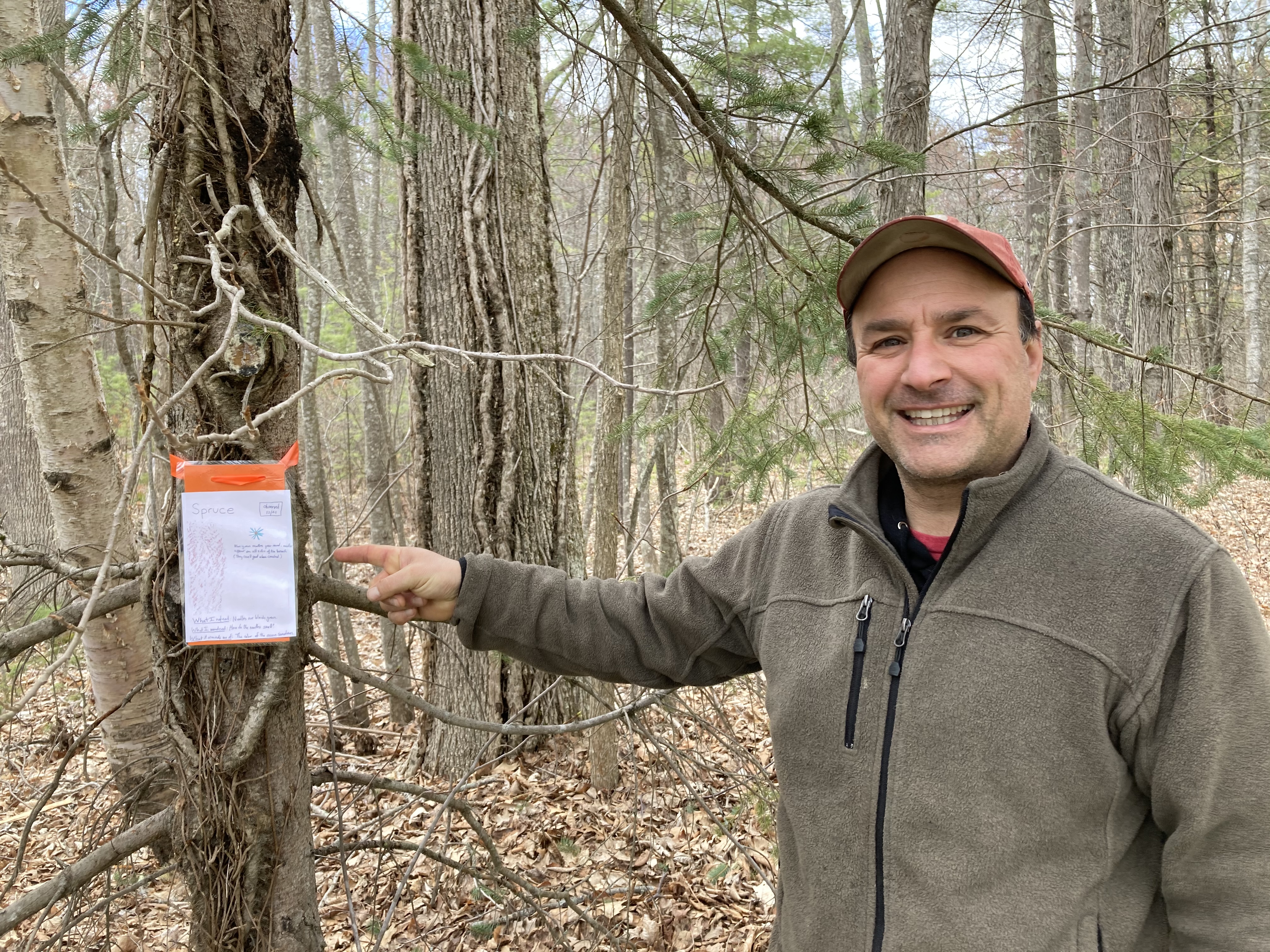
Technically, this walk is not in our back yard, but major portions of today’s hike were extremely familiar.  We have had an association with Moharimet Elementary school since at least 2006, when Zoe started kindergarten there.  I currently walk a portion of the trails every day (at least twice) for work.  I was able to show off some the trees kindergartners and I identified and tagged last fall.

Then we hit the portion of the walk — leading up to and circumnavigating Tibbets Field — that were part of the high school cross country course when Zoe was an underclassman.  The U10 girls soccer team that was practicing did not seem to notice us as we went by.

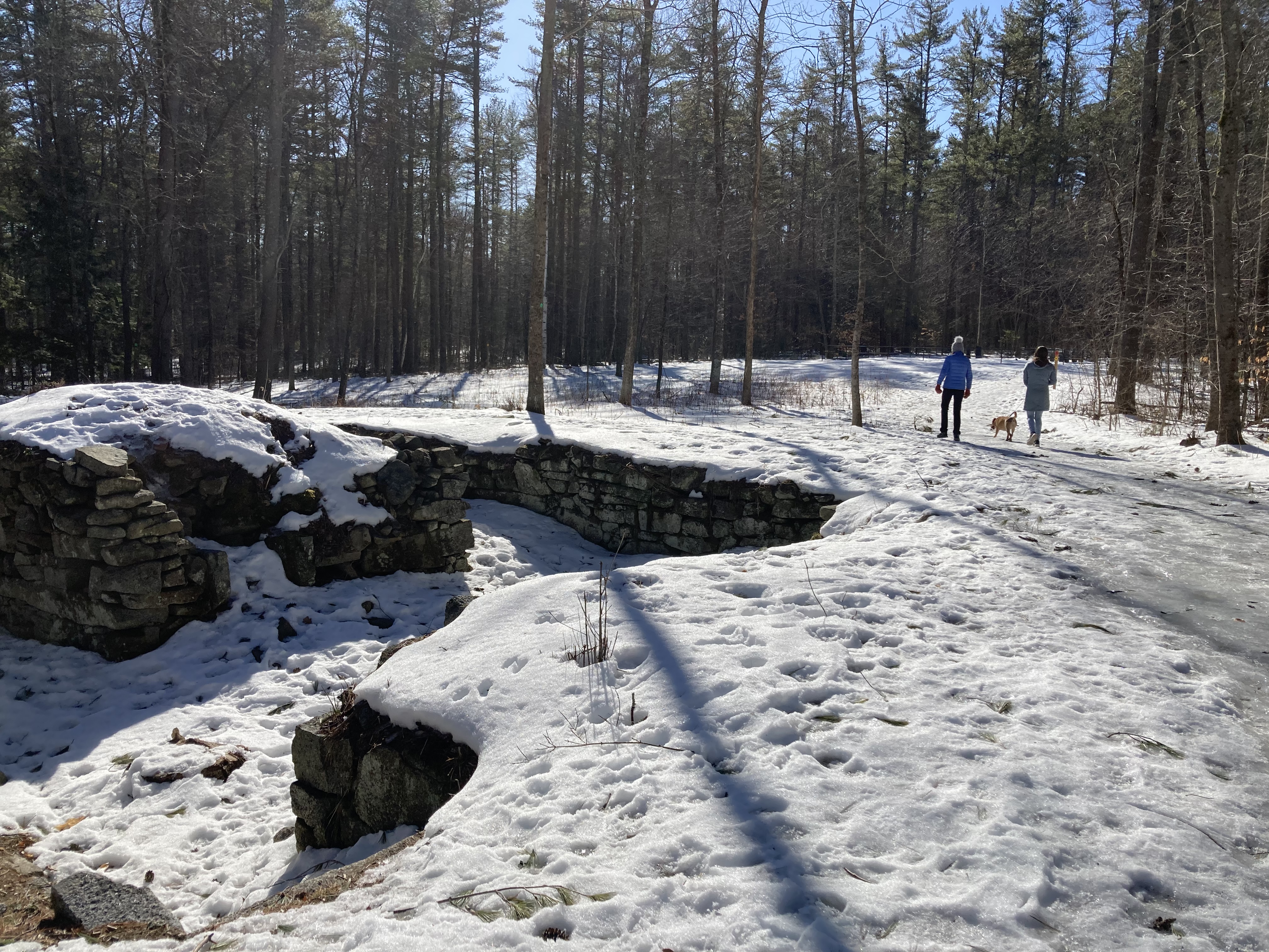
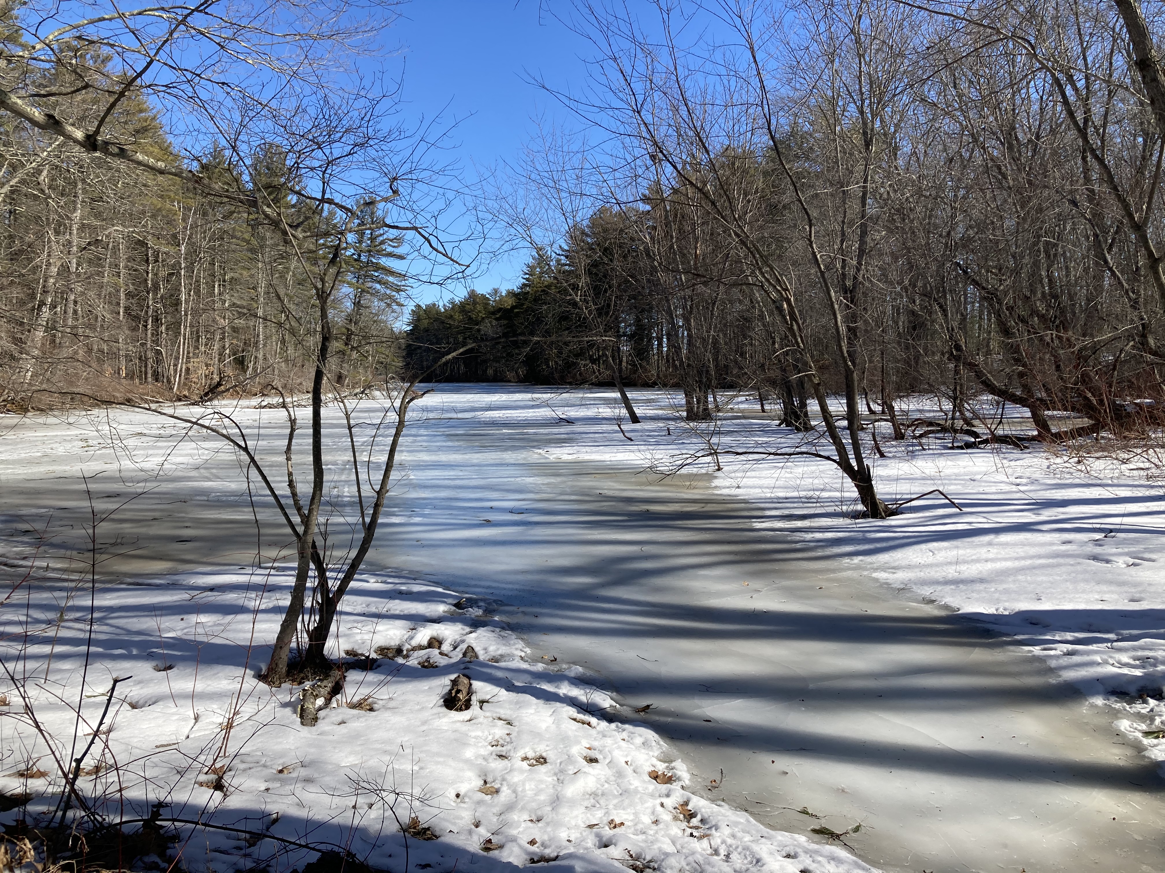
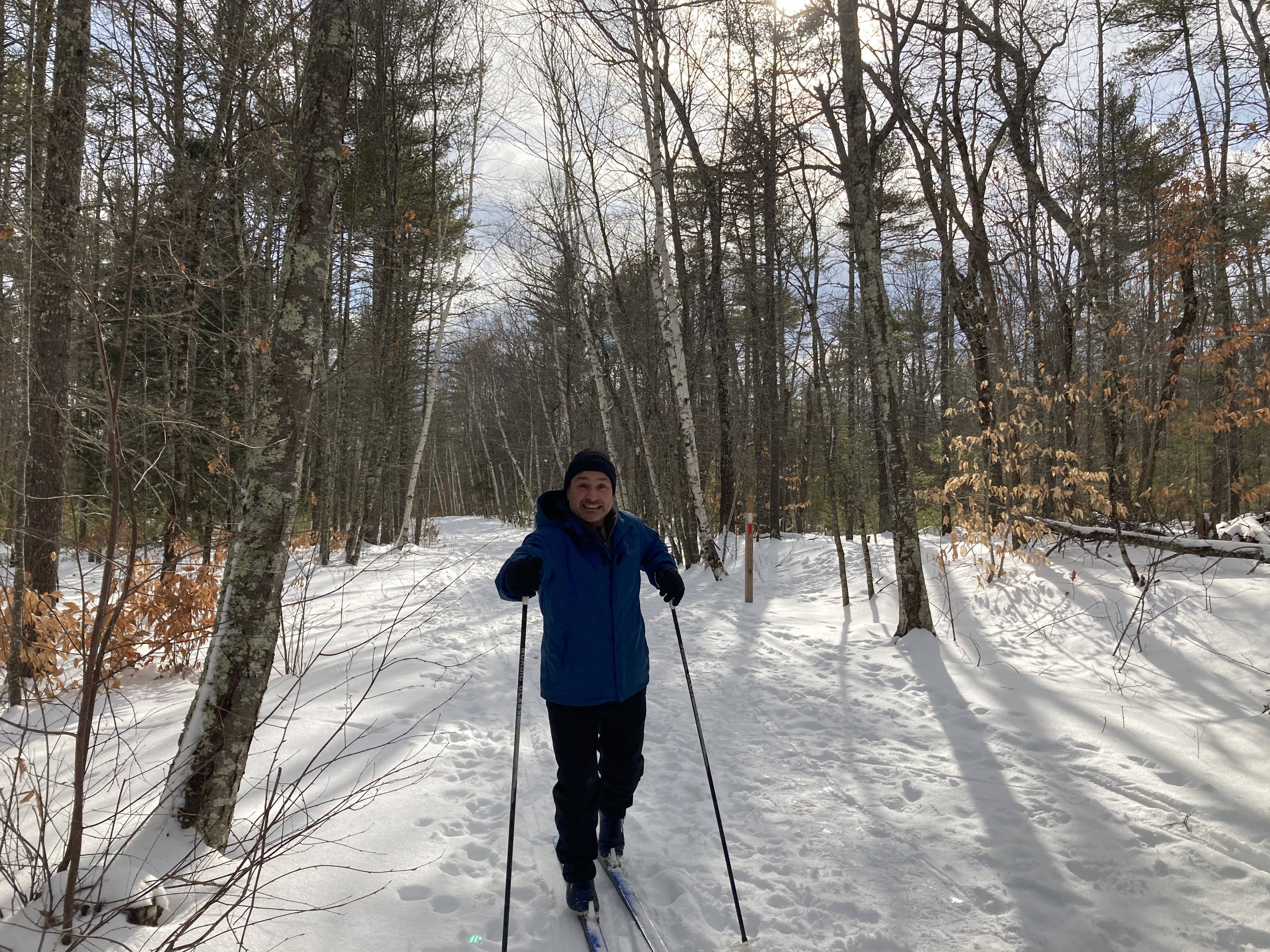
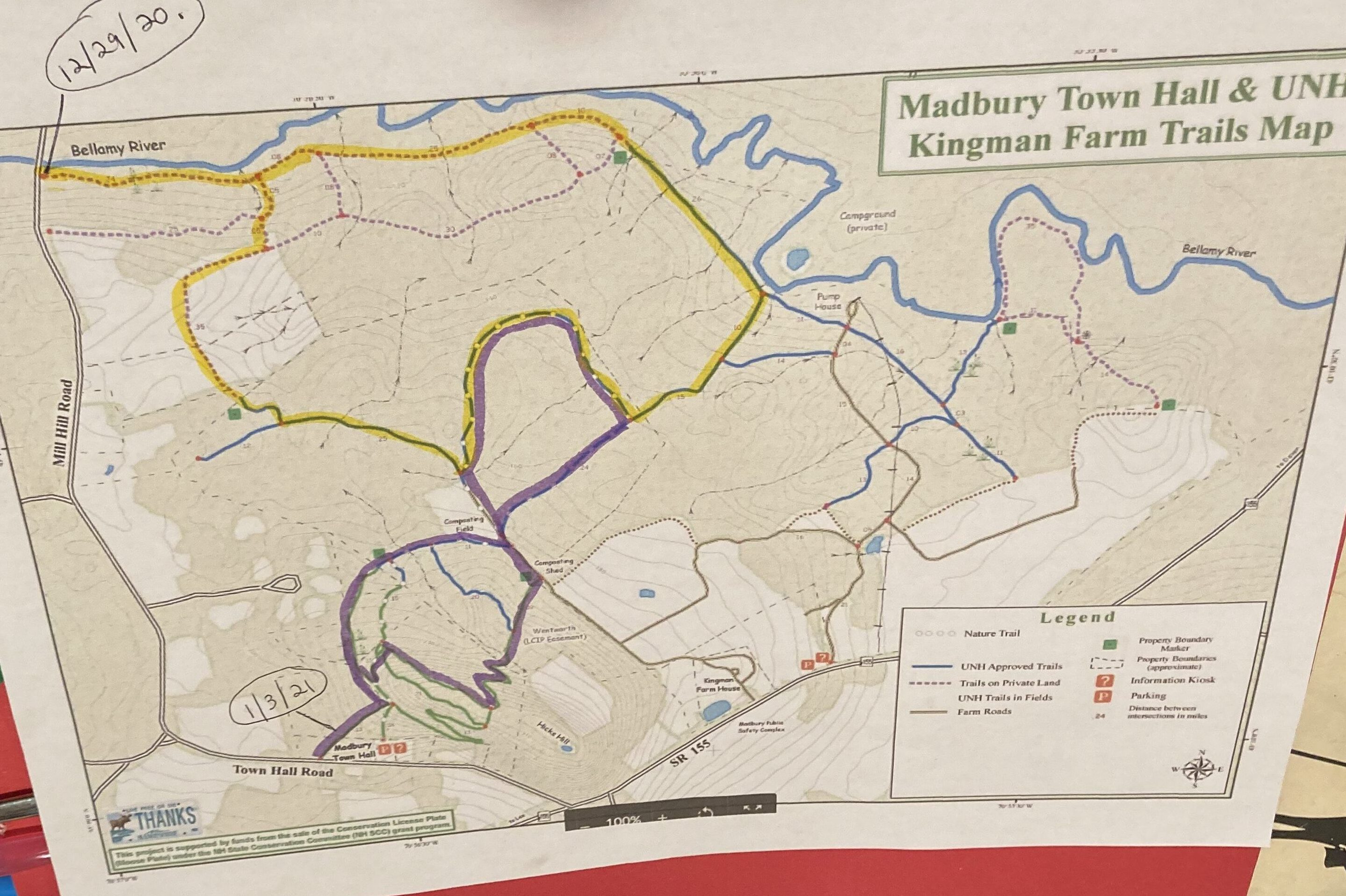
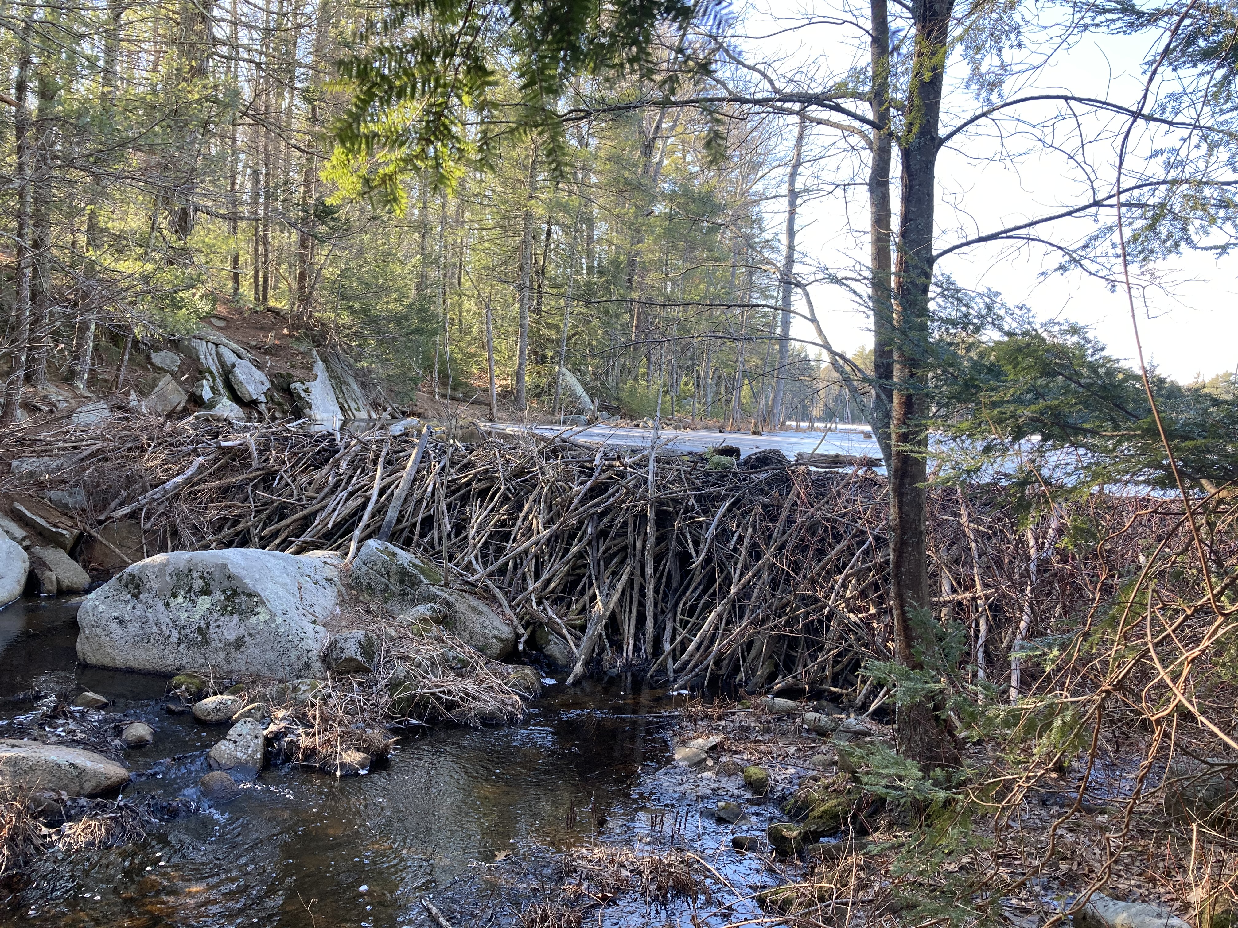
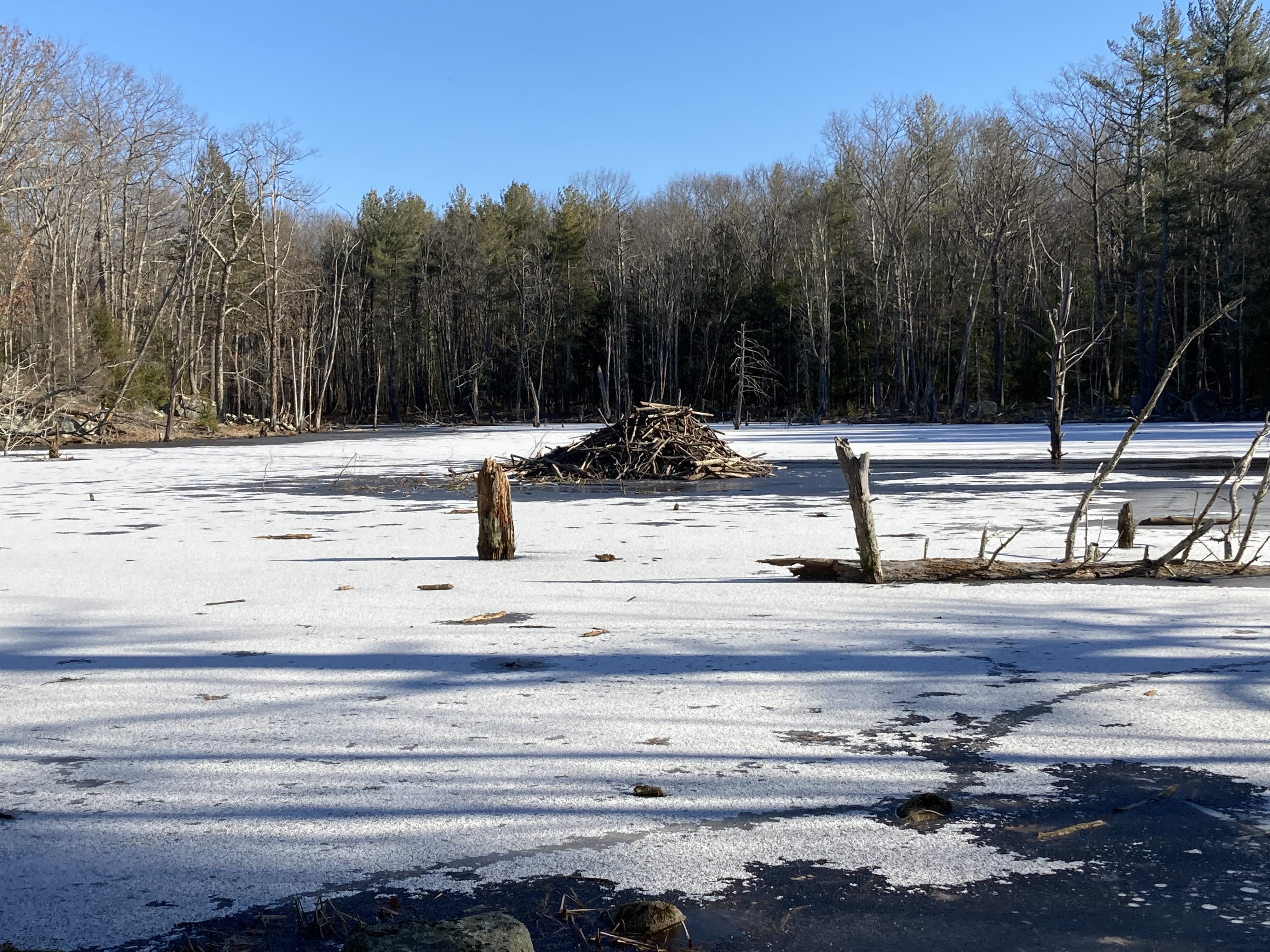
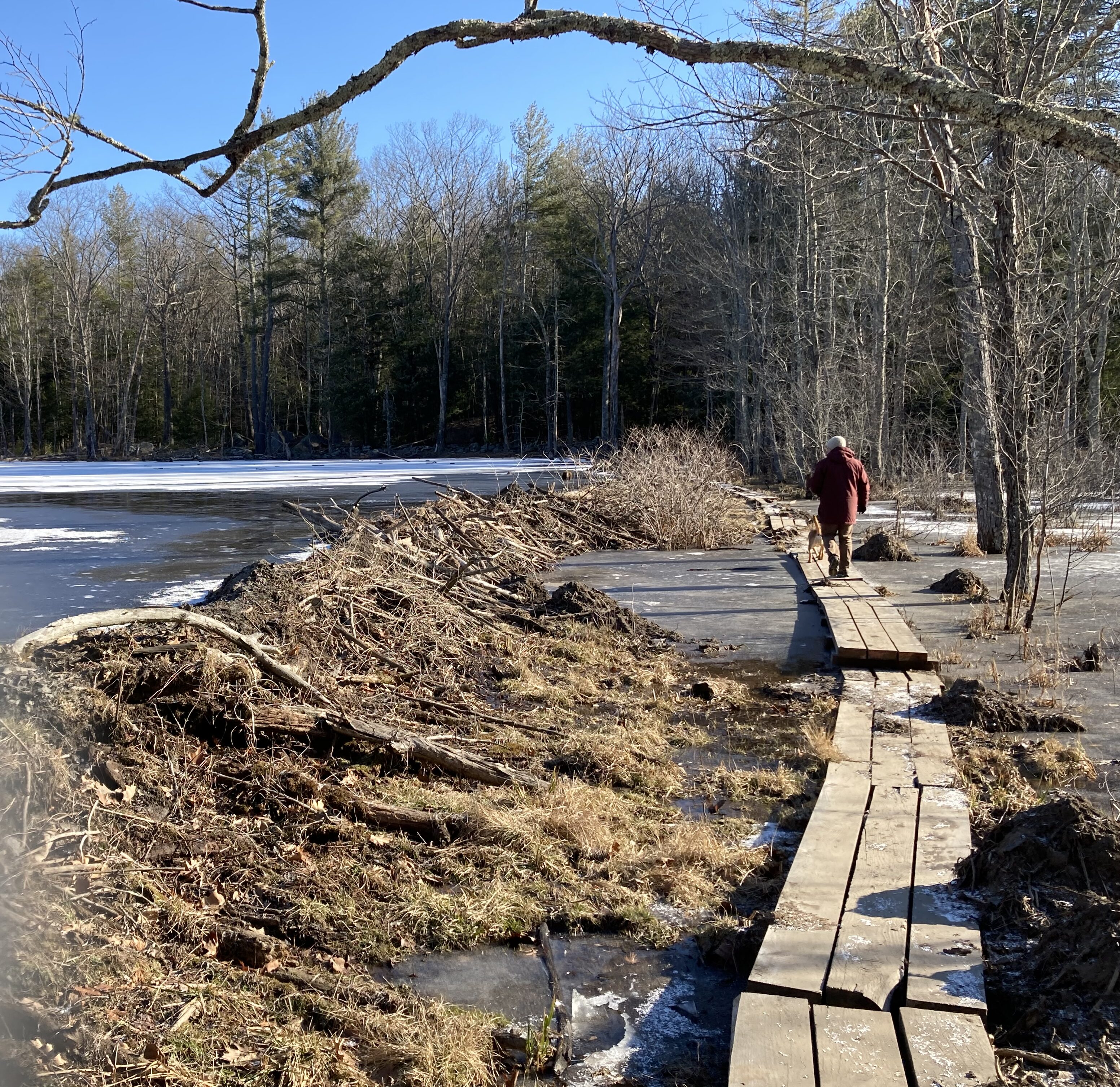
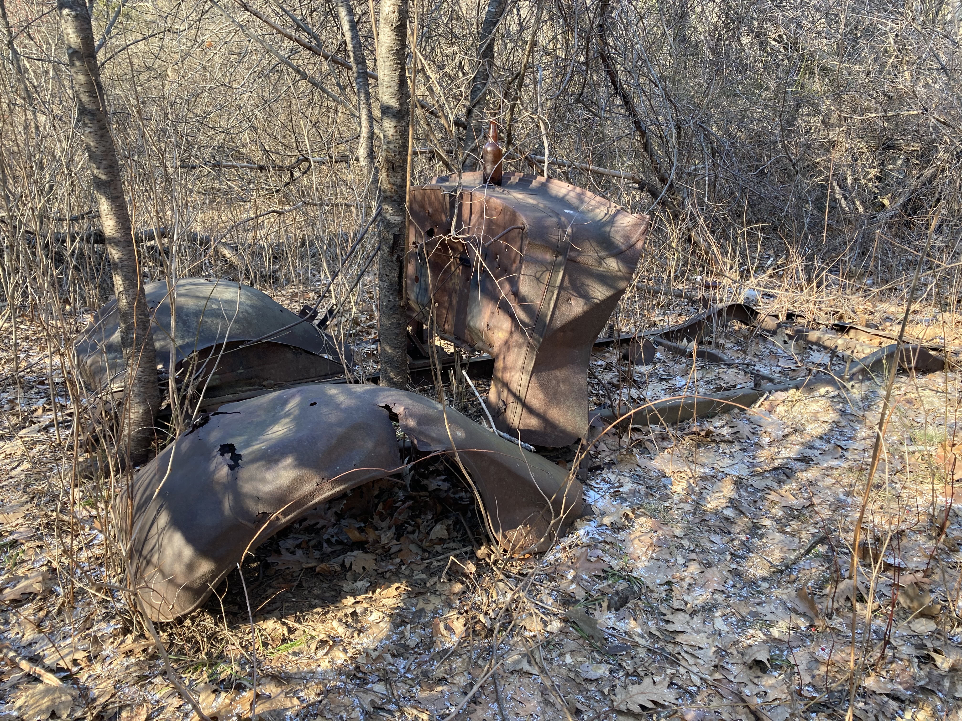
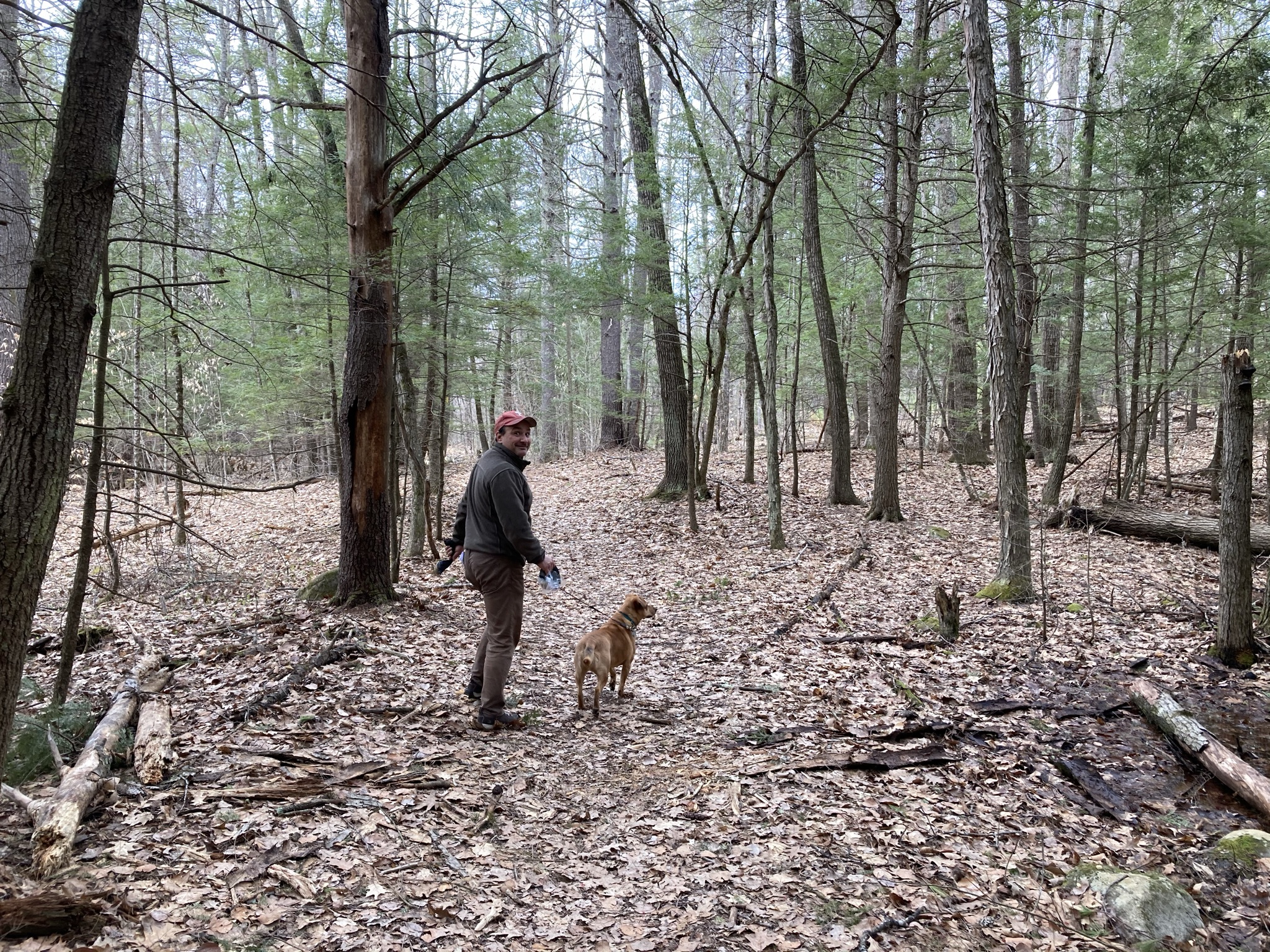
After that, we entered the woods on the far side of the fields for some unexplored territory.  The Powder Major Trails are pleasantly flat, sufficiently wooded, and wonderously complex.  That is to say that beyond  three or four marked trials the property is honeycombed with seemingly dozens of paths.  Many of them beckon exploration.

They also seem to defy explanation.  Is this an snowmobile park?  Was there a neighborhood here in colonial times?  Was this land once worked by generations OCD farmers?  How many people are at this moment wandering the side trails of the Powder Major Perseve, trying to find their way out?

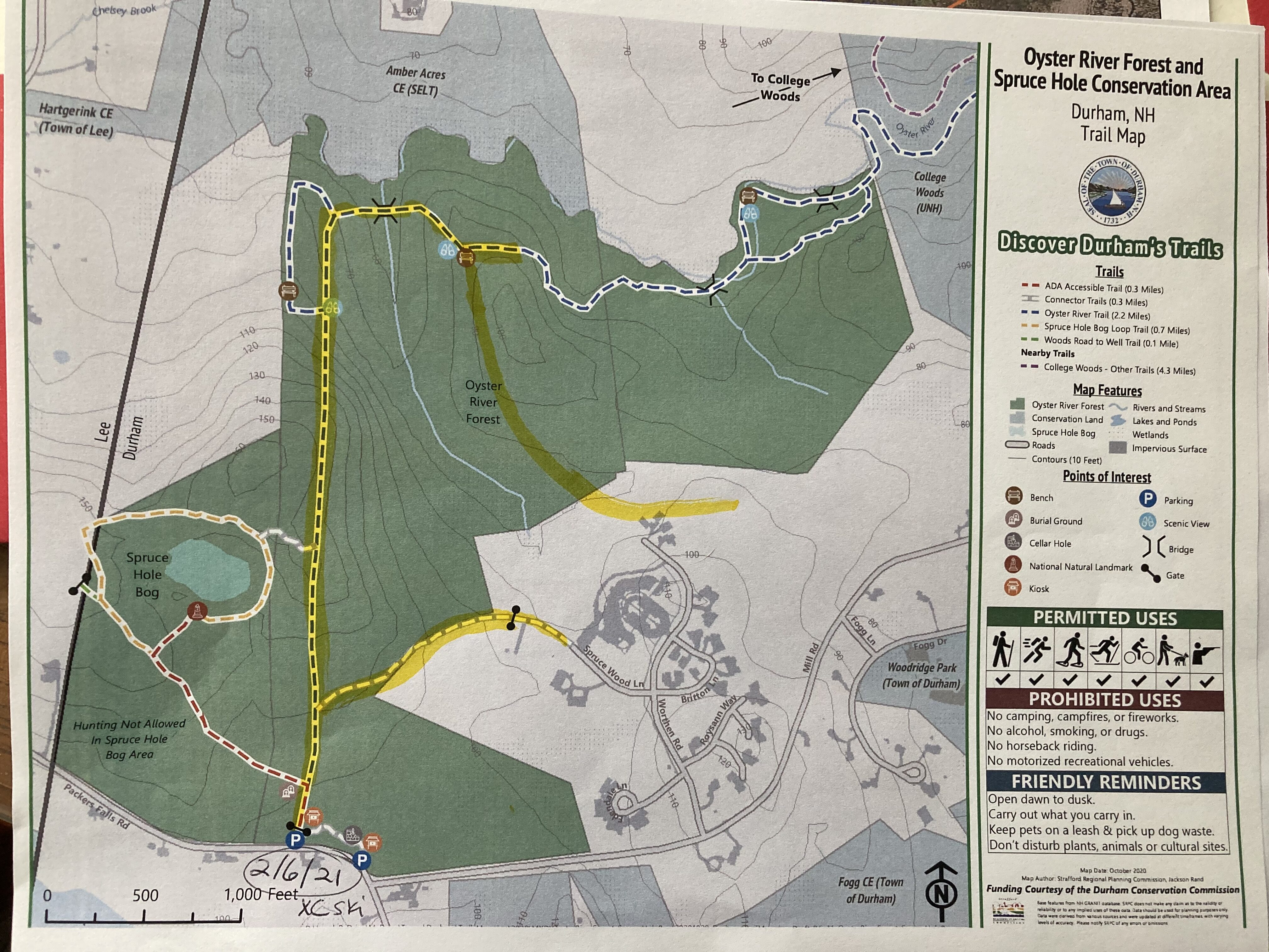
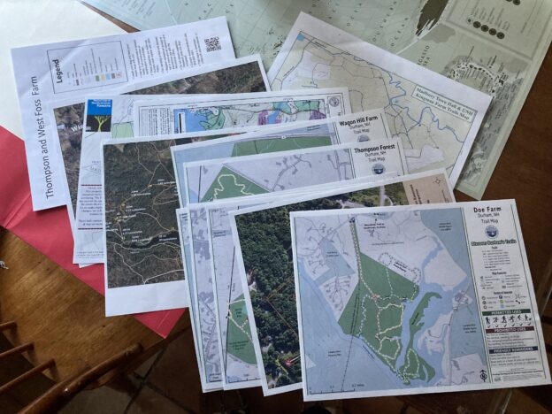
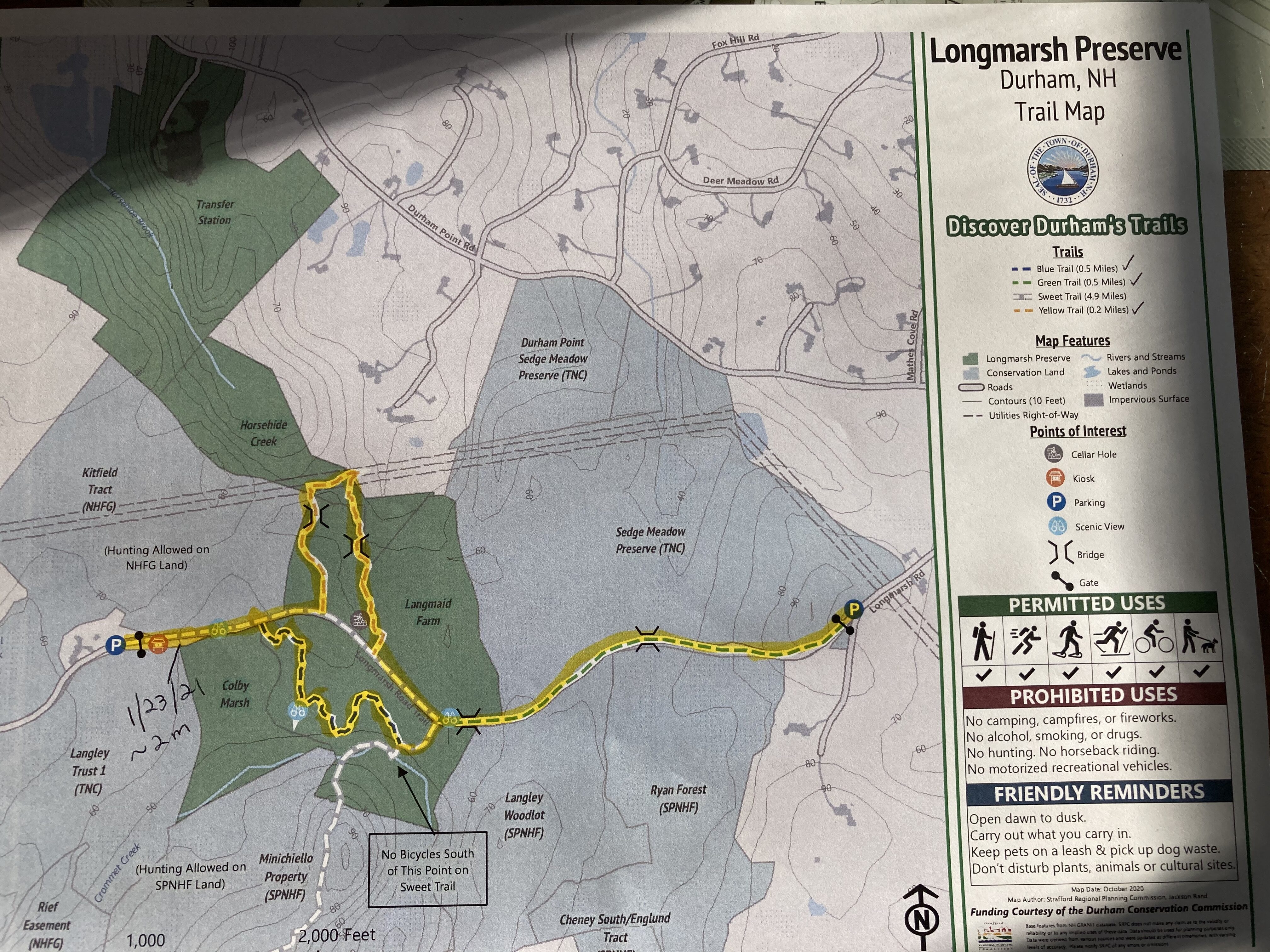
Fortunately for us, the map we have in the Trails of Durham folder shows some of this intricacy.  We noticed all the lines and made firm plans to stay on the yellow-blazed trail that follows the perimeter of the preserve;  we would stick to the yellow trail even if presented a whole field of poppies.

So we were alright.

Though there was a left turn that promised exposure to even deeper, darker Madbury.  Who knows what was waiting in that direction.  Maybe even Lee.  It will have to wait for another hike.

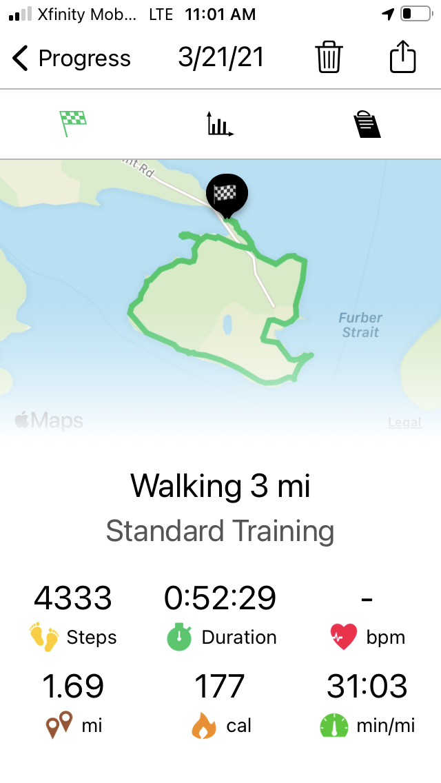
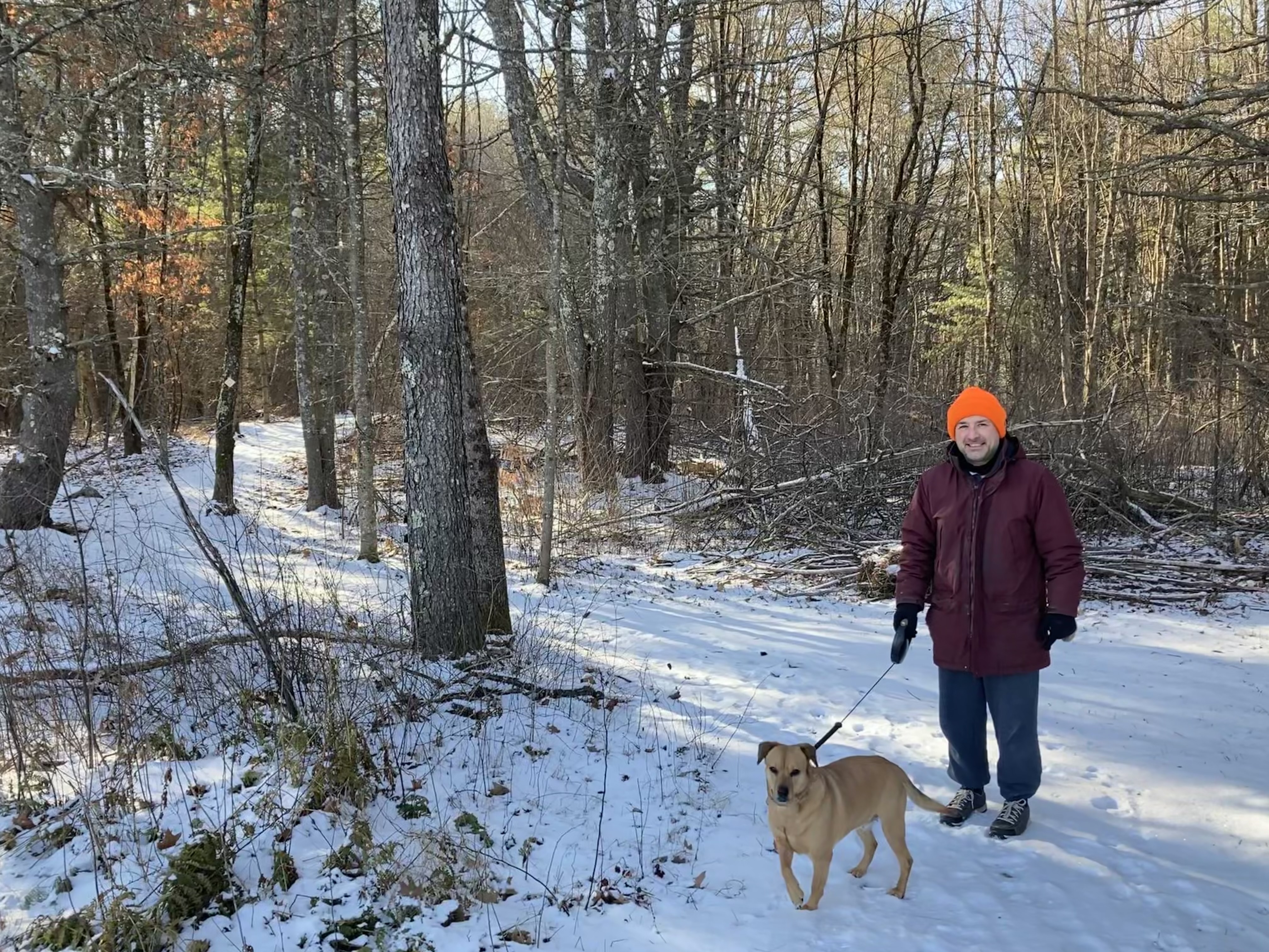
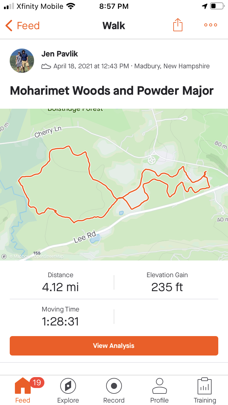
We stuck to our plans, and, despite all the trails we did not walk down, we still managed to rack up a four-mile loop.


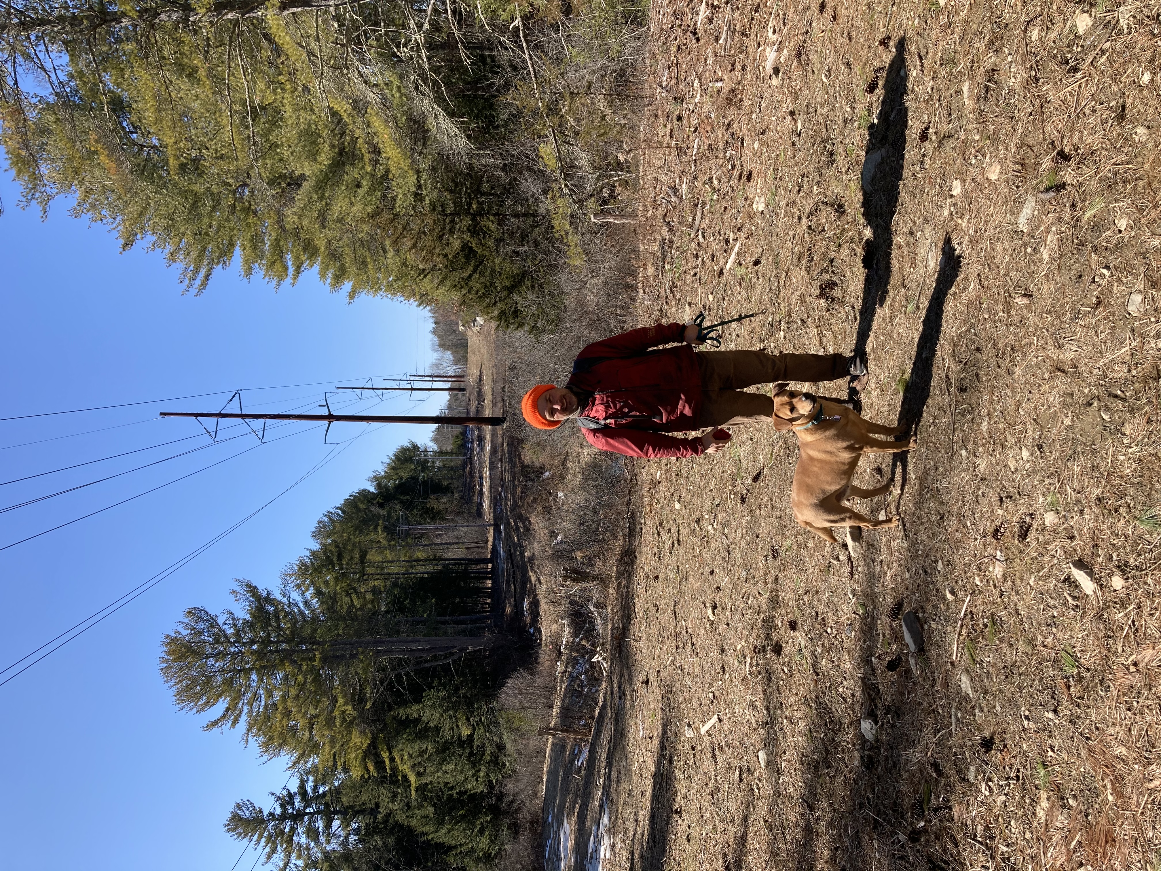
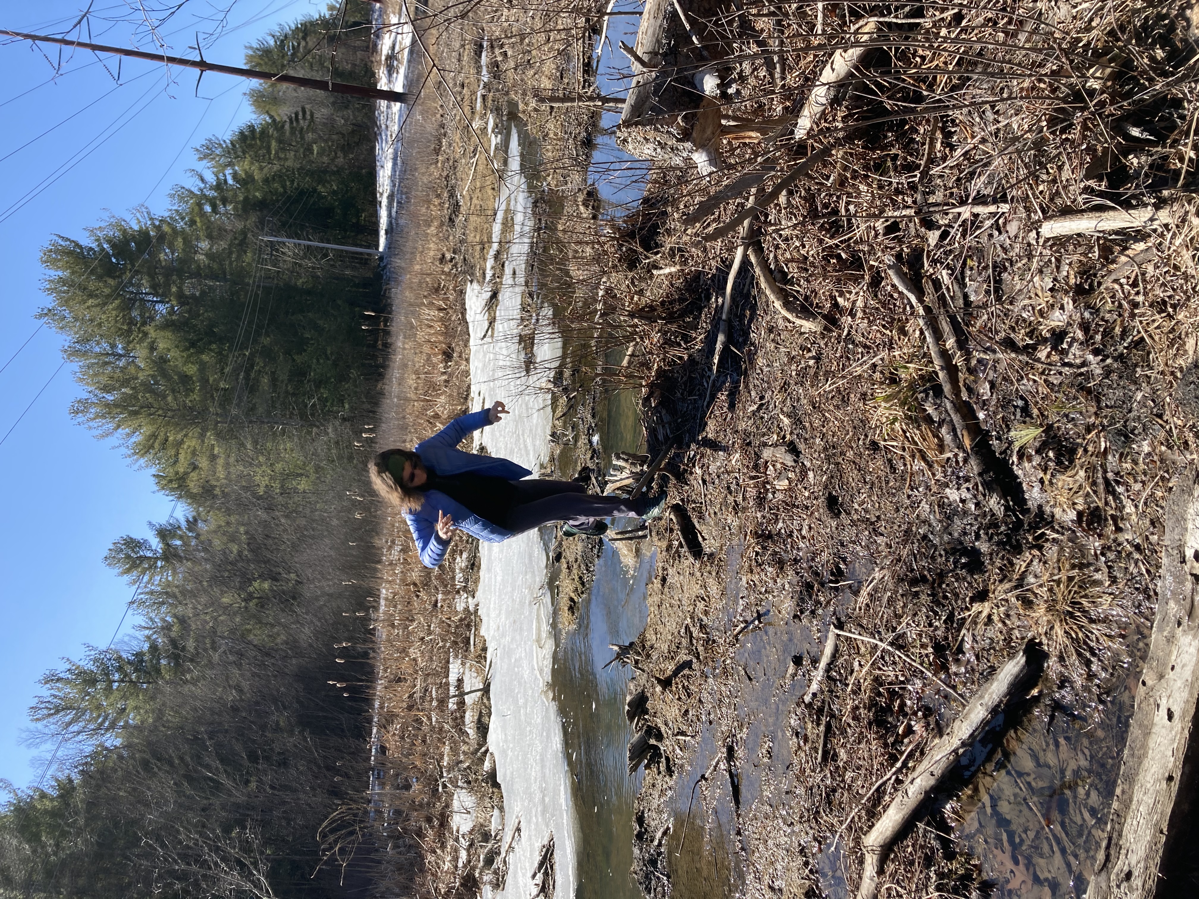
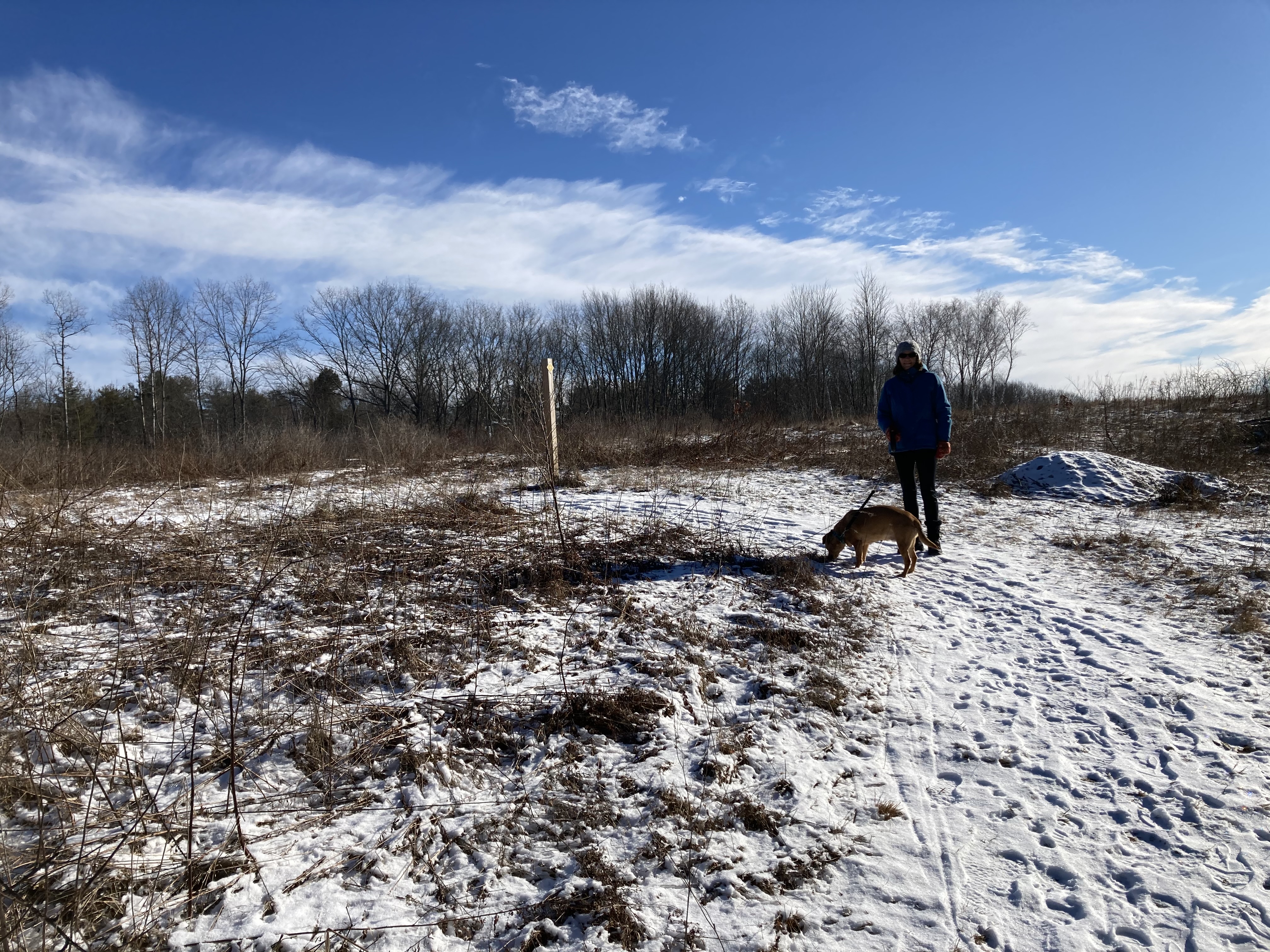
April 24: John Hatch Park/snow mobile trails/Audubon Society preserve

Local hiking does not get the attention it deserves from the extreme sporting community.   Not only is there addictive thrill of seeing what’s behind the next turn.  There’s also the not-entirely-uncommon threats to life and liberty — actual threats to actual life and actual liberty — that we encounter on the trail.  Within the past year we’ve verbally threatened with gun violence for wandering on the wrong trail.  It’s a trail we won’t be wandering on again.

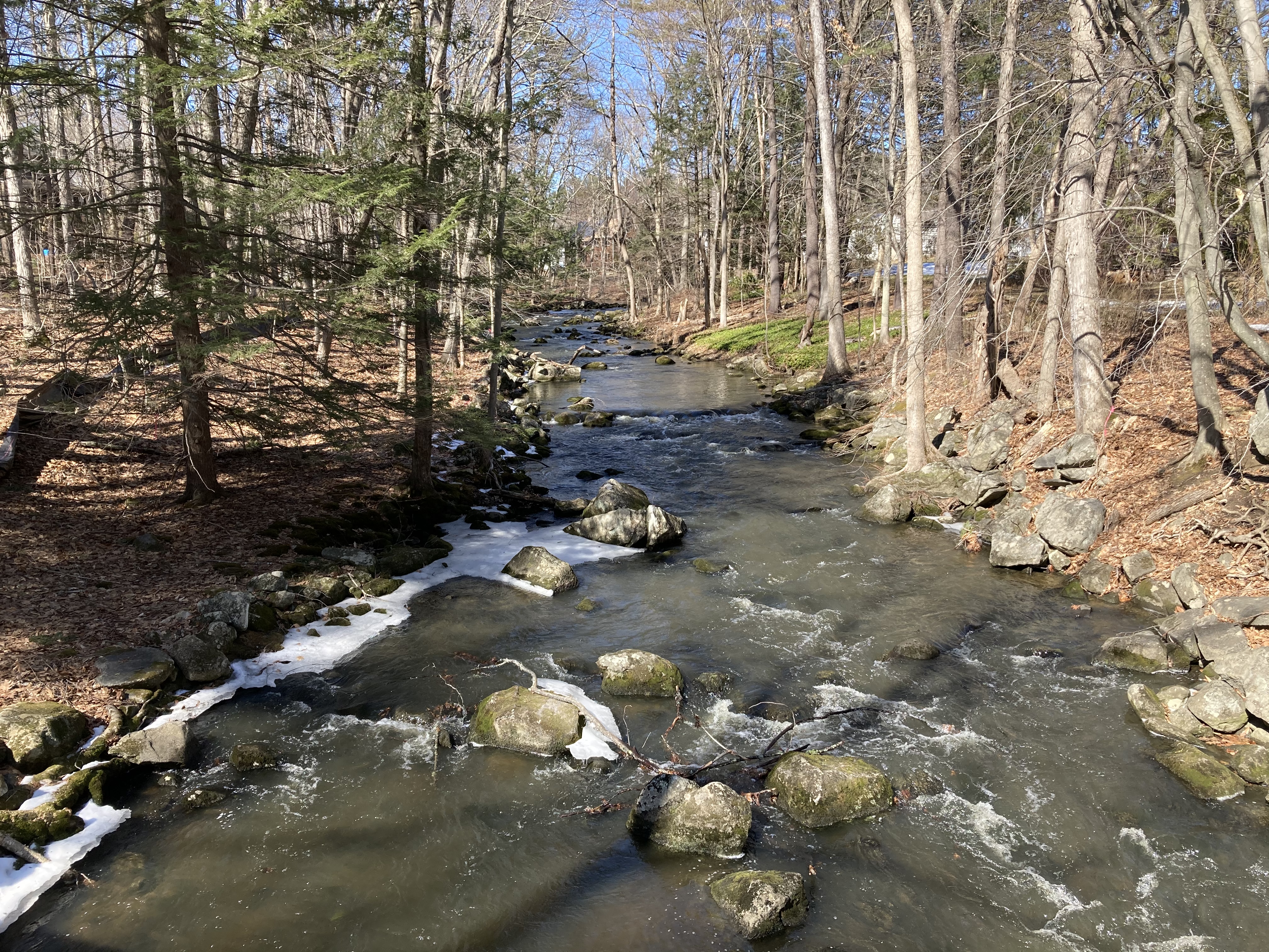
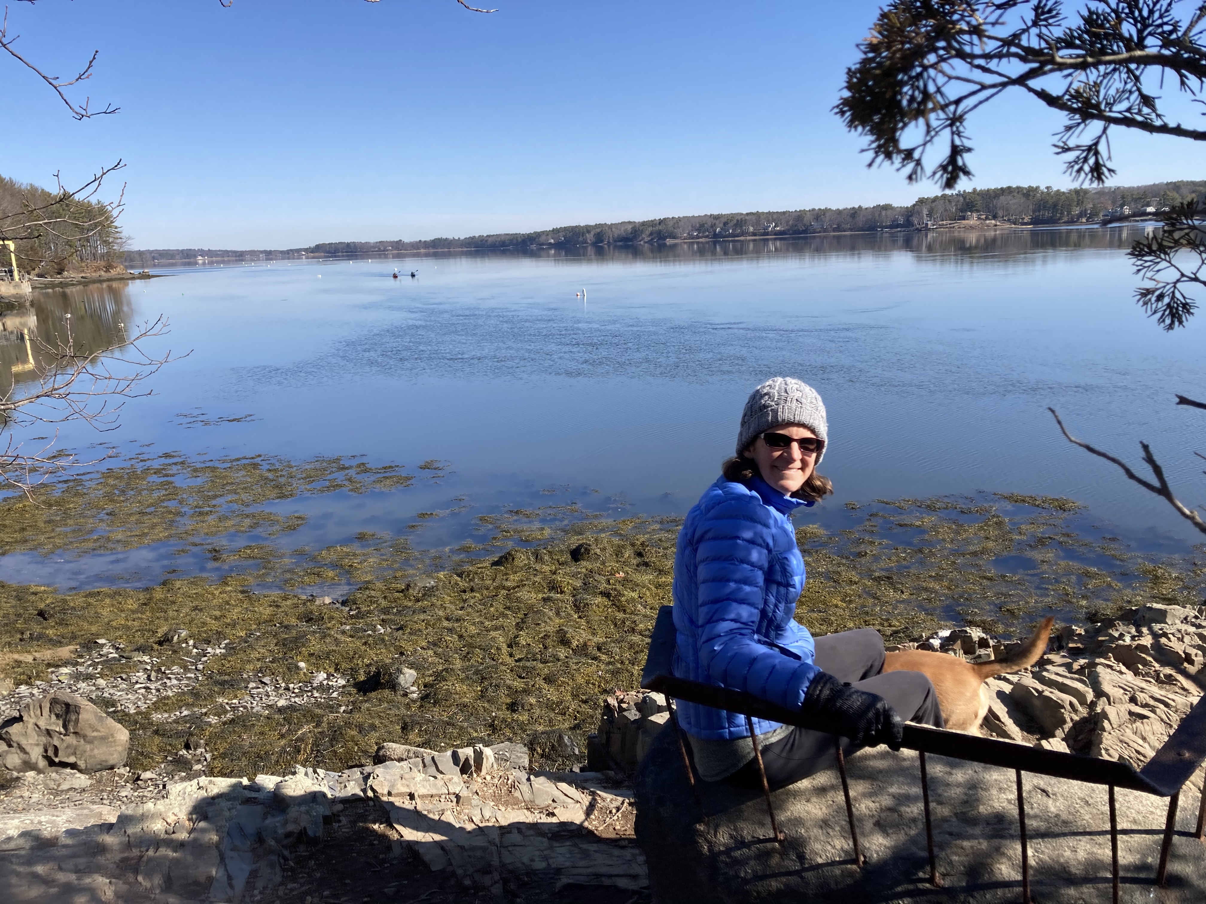
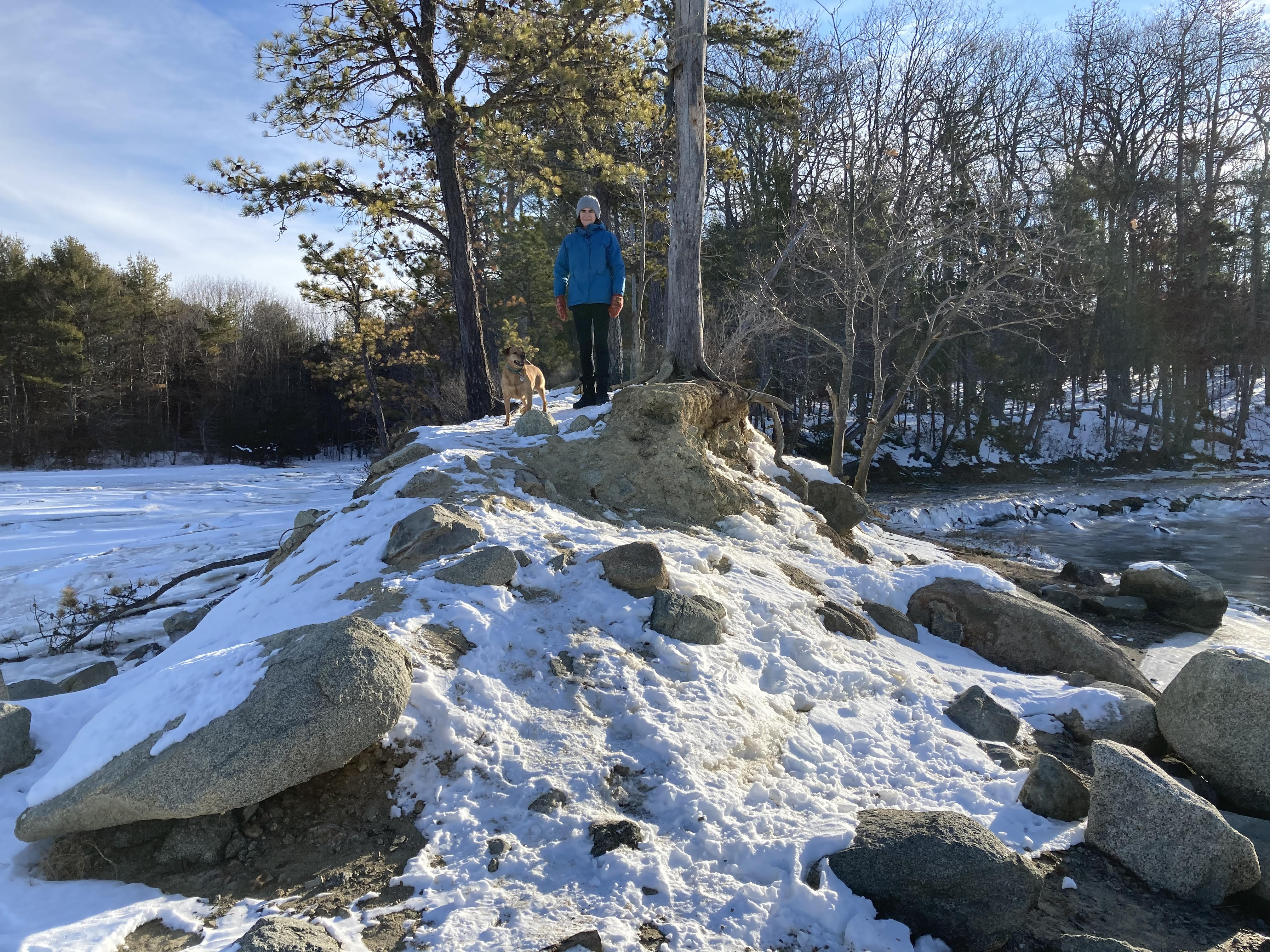
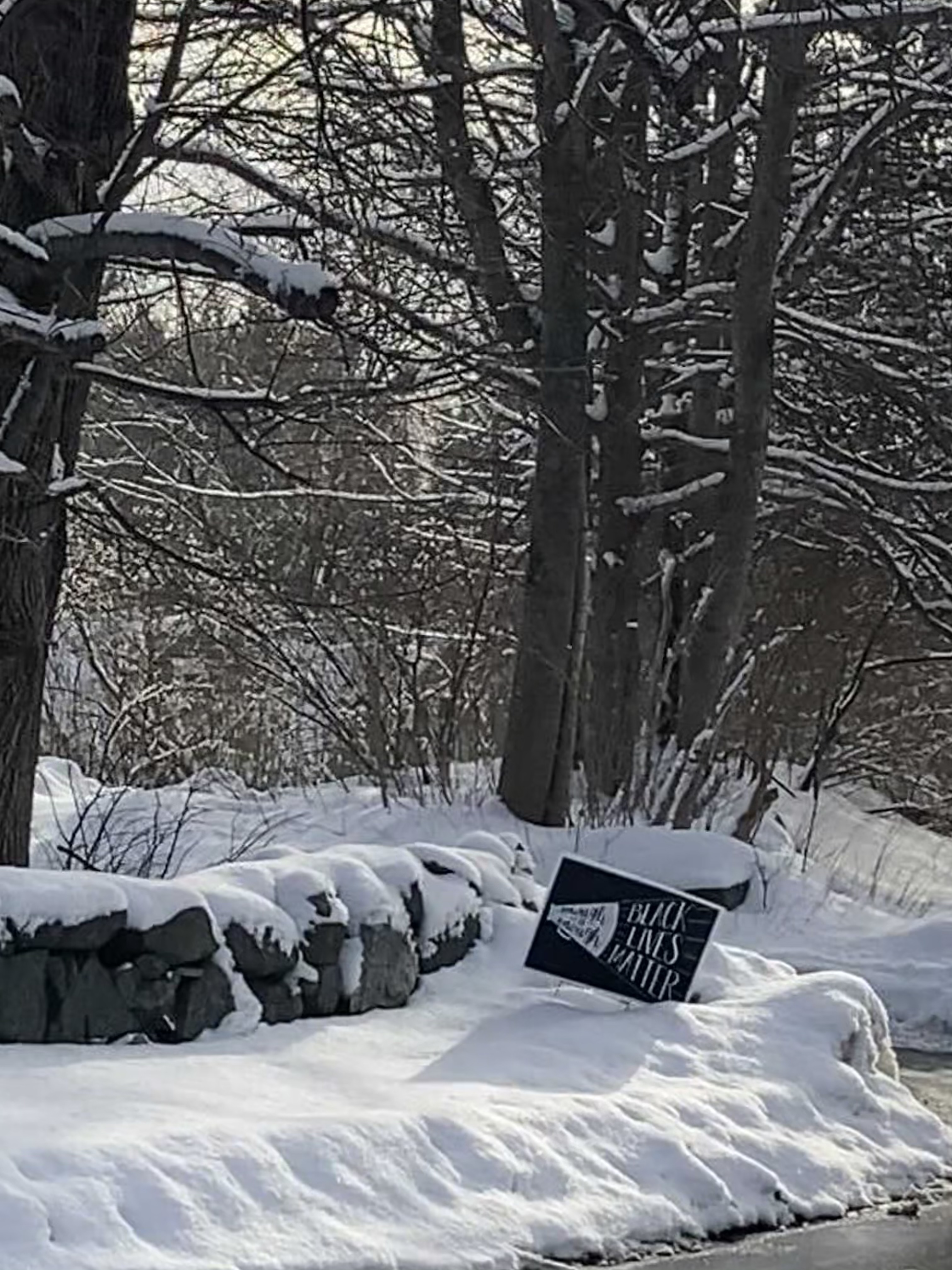
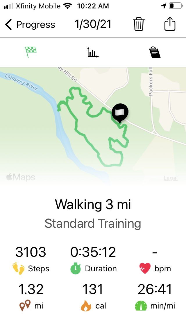
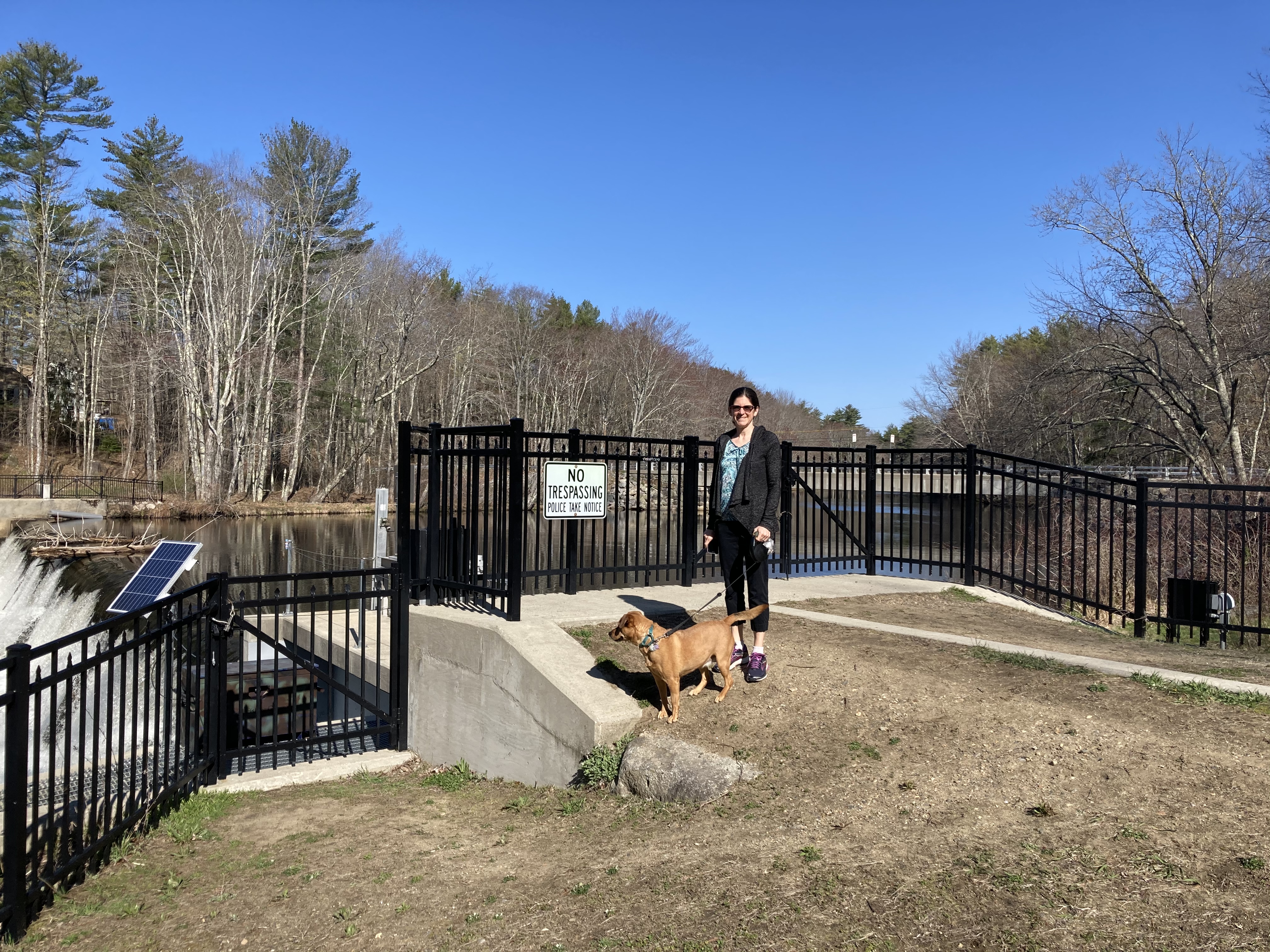
Mostly, though, the threats come in written form, like the sign we saw along the banks of the Lamprey River.  The sign was near a gate and a fence that not only blocked our path but extended all the way down to the river.  Someone was taking no chances that we might ignore the sign that promised prosecution or death if we followed the pleasant trail east towards Packer’s Falls, impinging, I guess, on someone’s back yard.

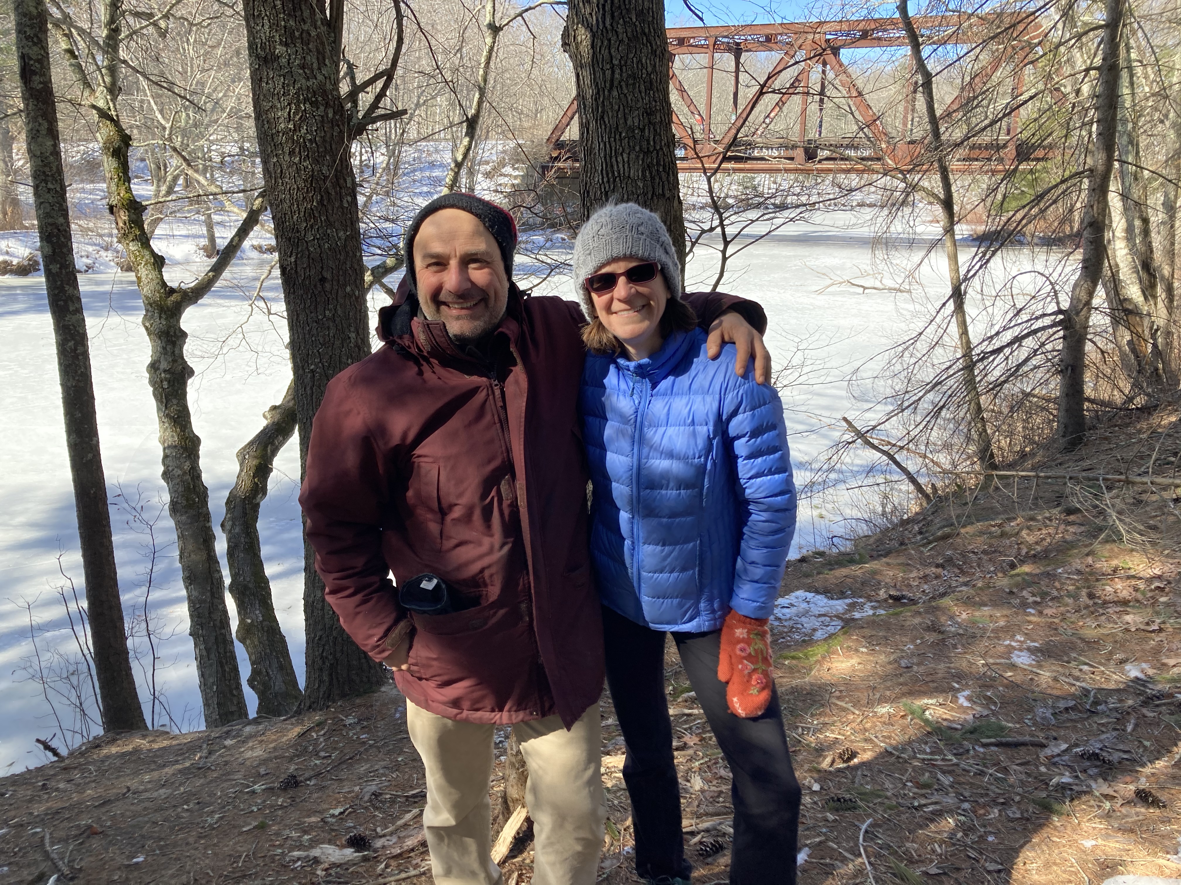
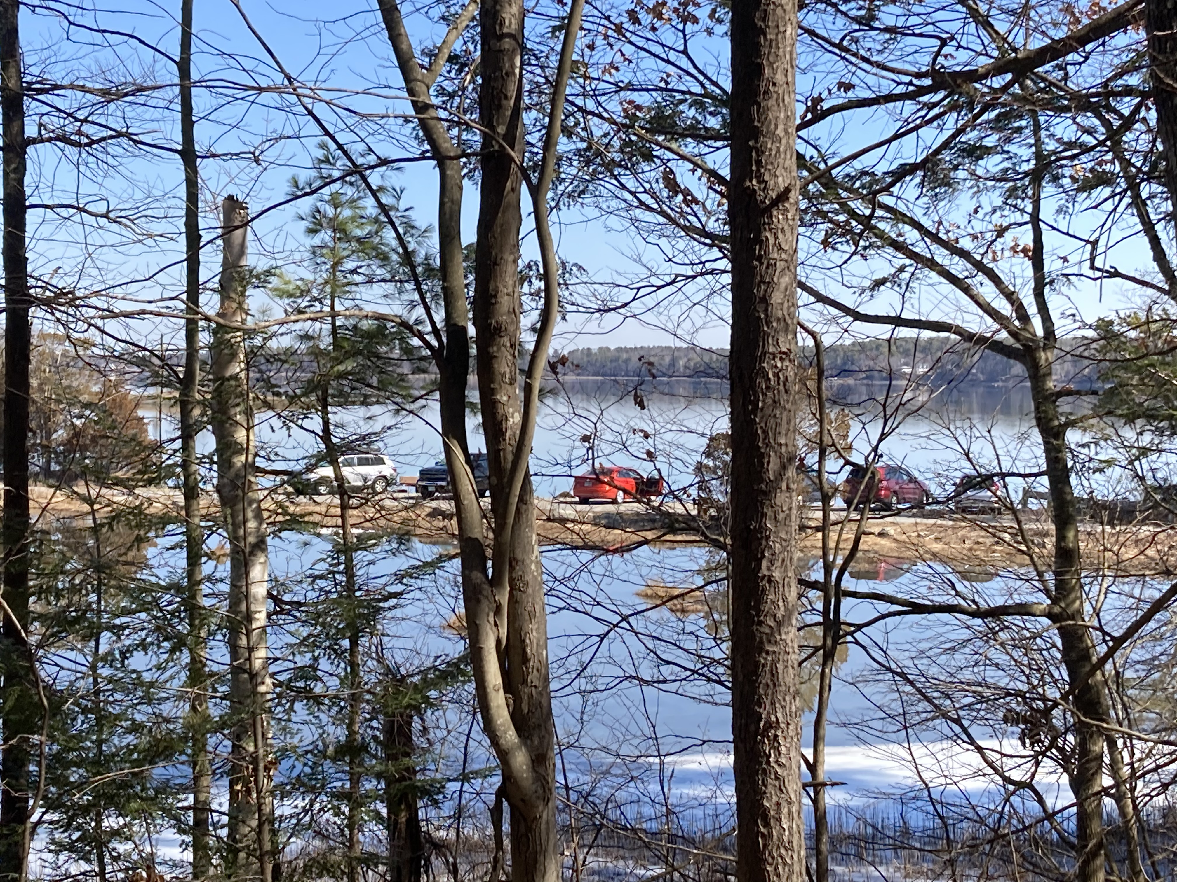
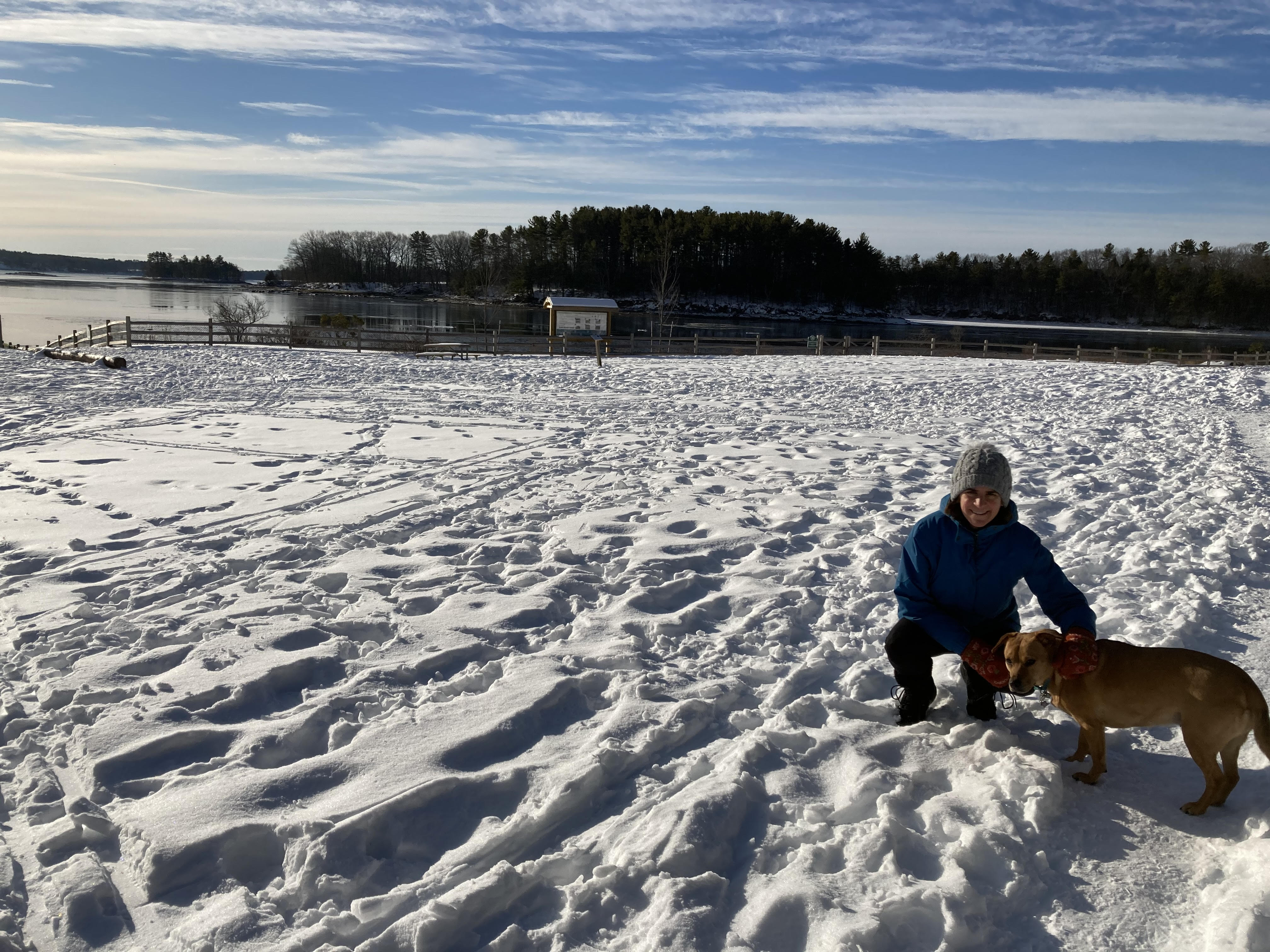
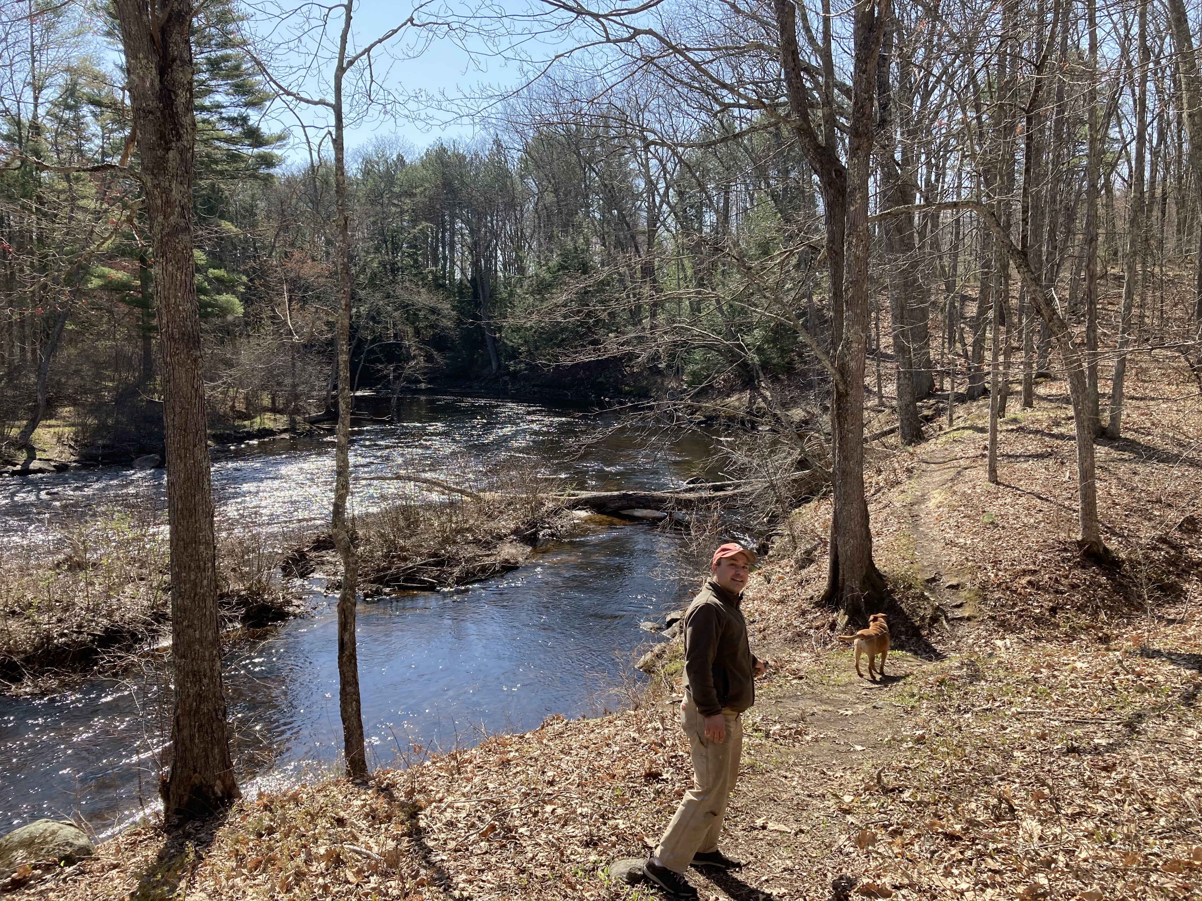
That was on the north bank of the river.  Having crossed the dam and followed a similar trail on the south bank we eventually came to another sign.  This one merely posted no trespassing sentiments and forewent threats and fences.  We turned around here, too, giving us a little more time along the lovely river as we headed back to dam.  Here’s one more view of the inviting island, free of No Trespassing signs, that we would like to storm and claim for wanderers everywhere — as soon as we can sew up a flag and as soon as the river level drops enough that we can hop the rocks across.

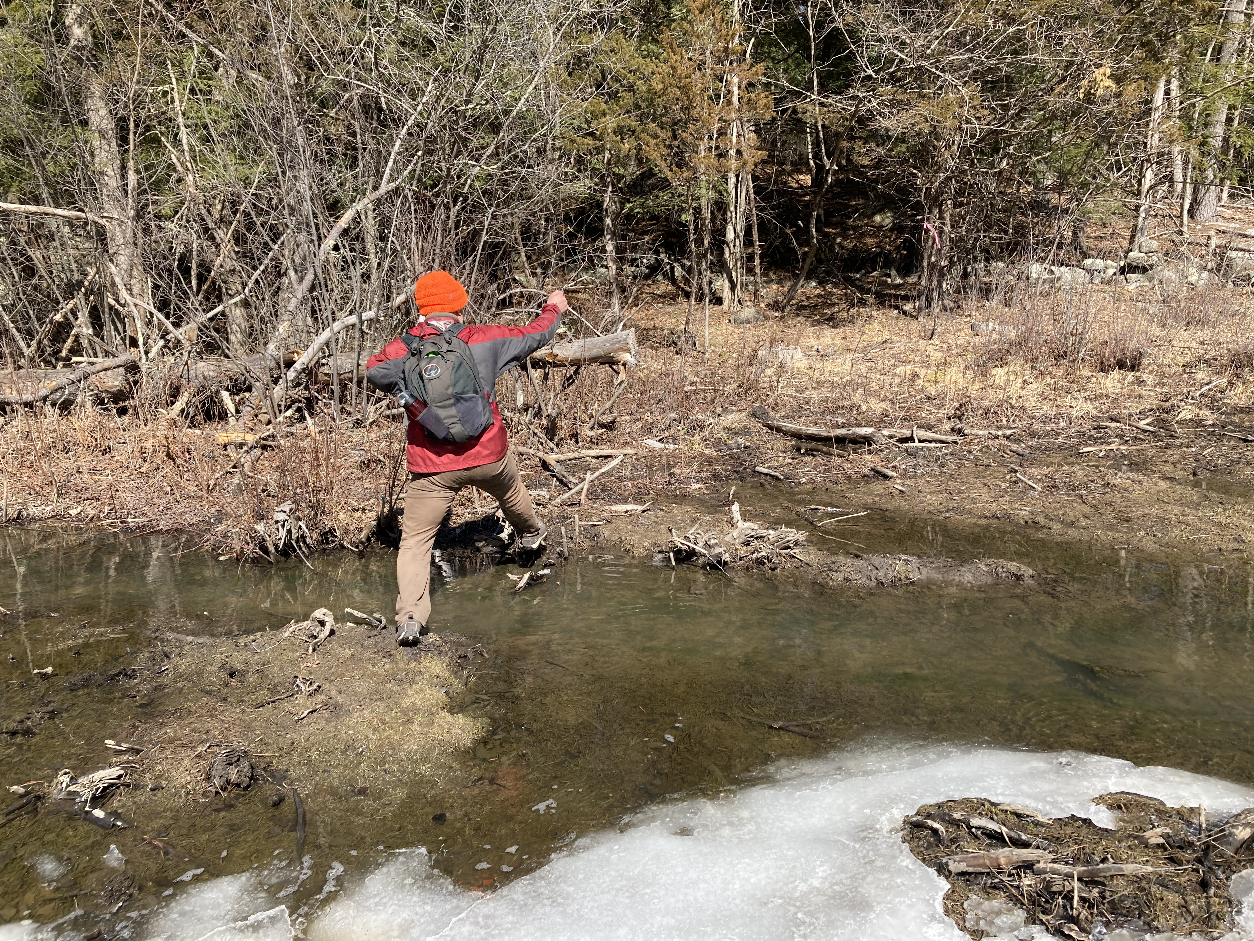
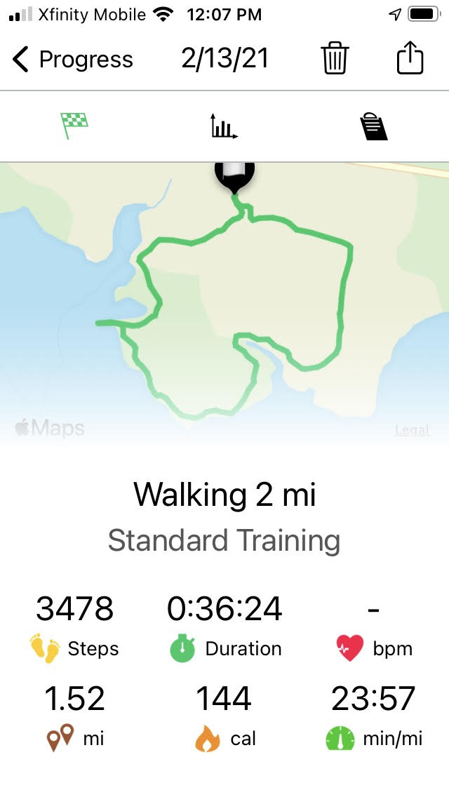
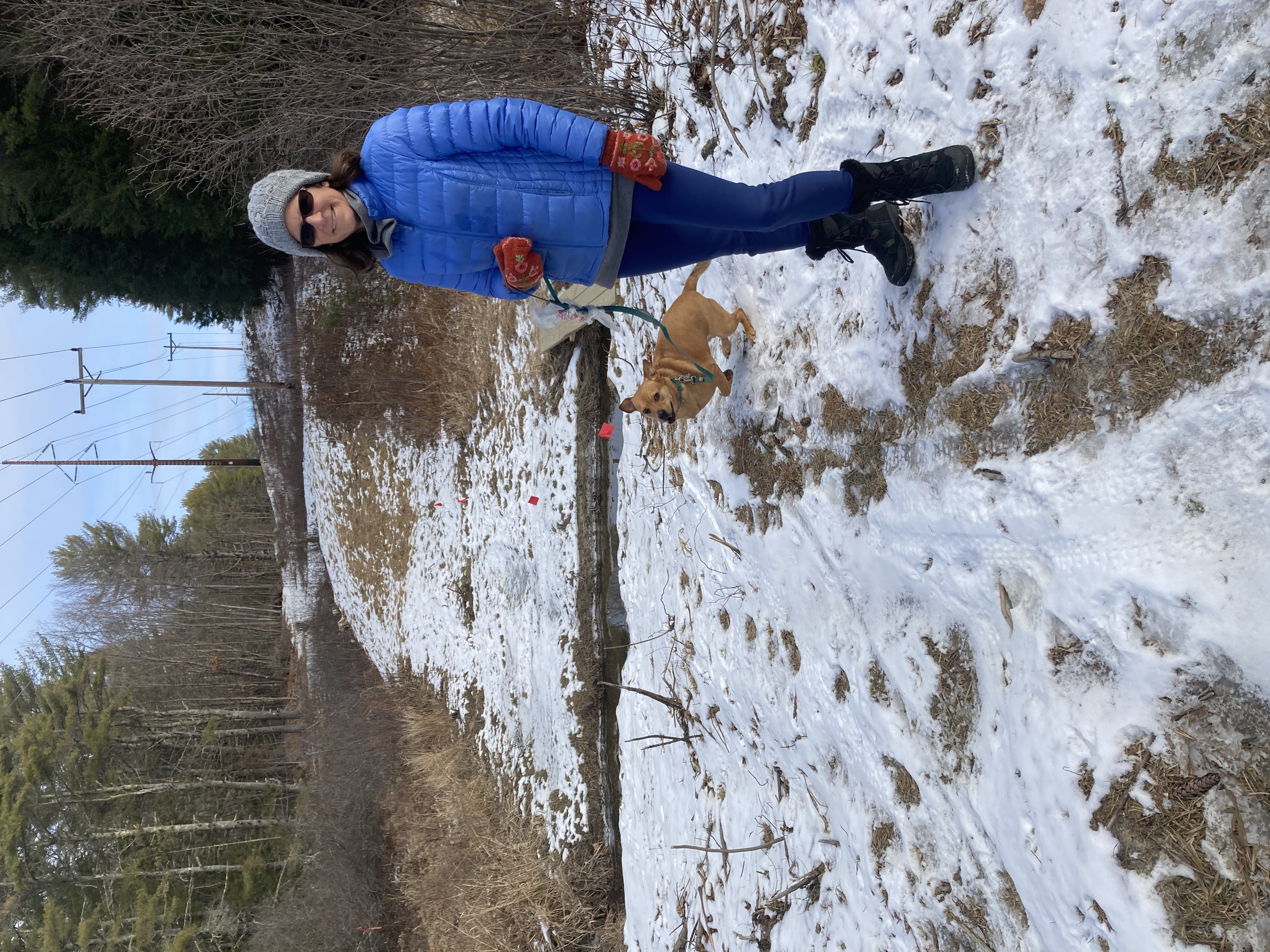
Property rights are property rights, and I’m not really interested in finding out how vaild those threats are, but this was not going to get us to the 3.5 mile goal my phone app was expecting.   Luckily, we are good at noticing things, and we’re often ready for adventure.  So when a well-worn path departed from the bank, and when we looked and did not see any No Trespassing signs, we decided to follow it for a while.

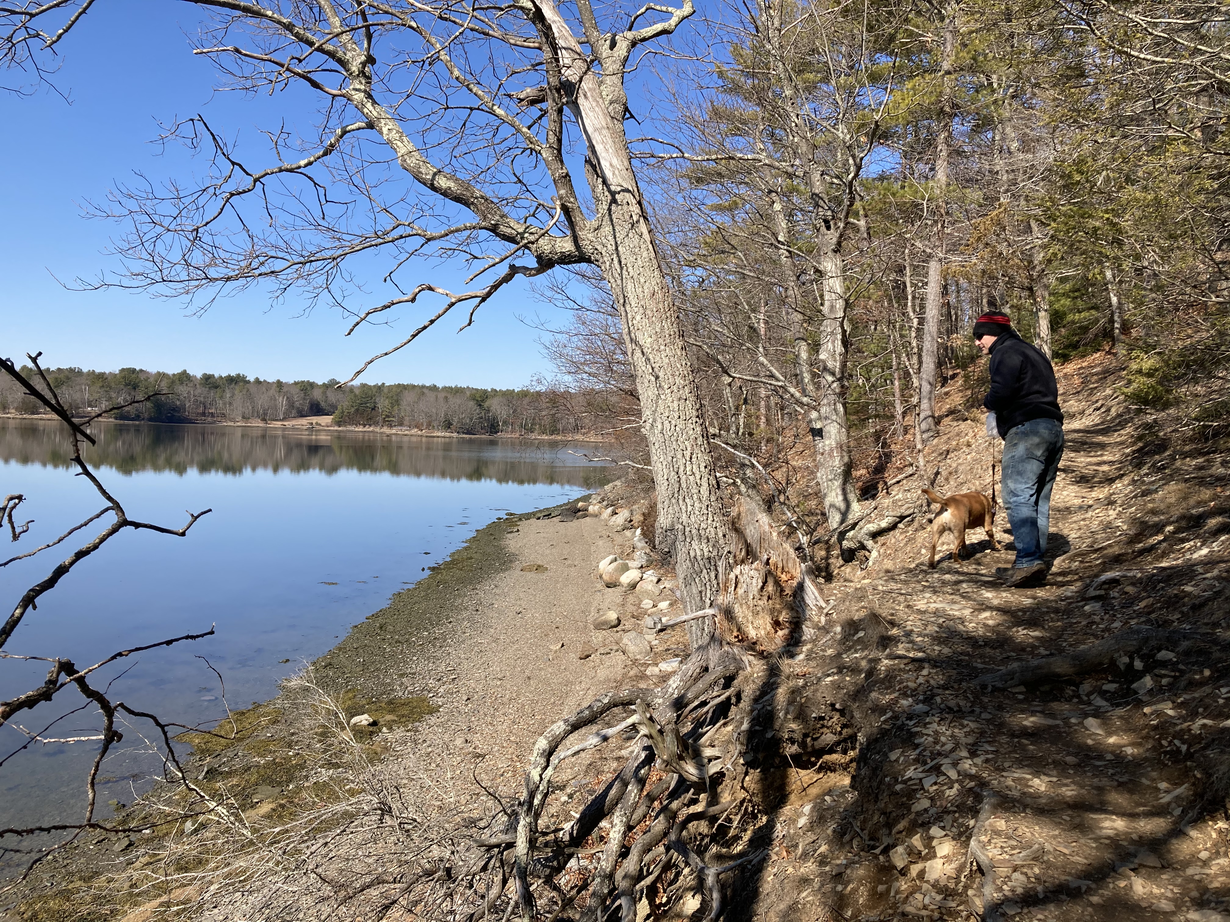
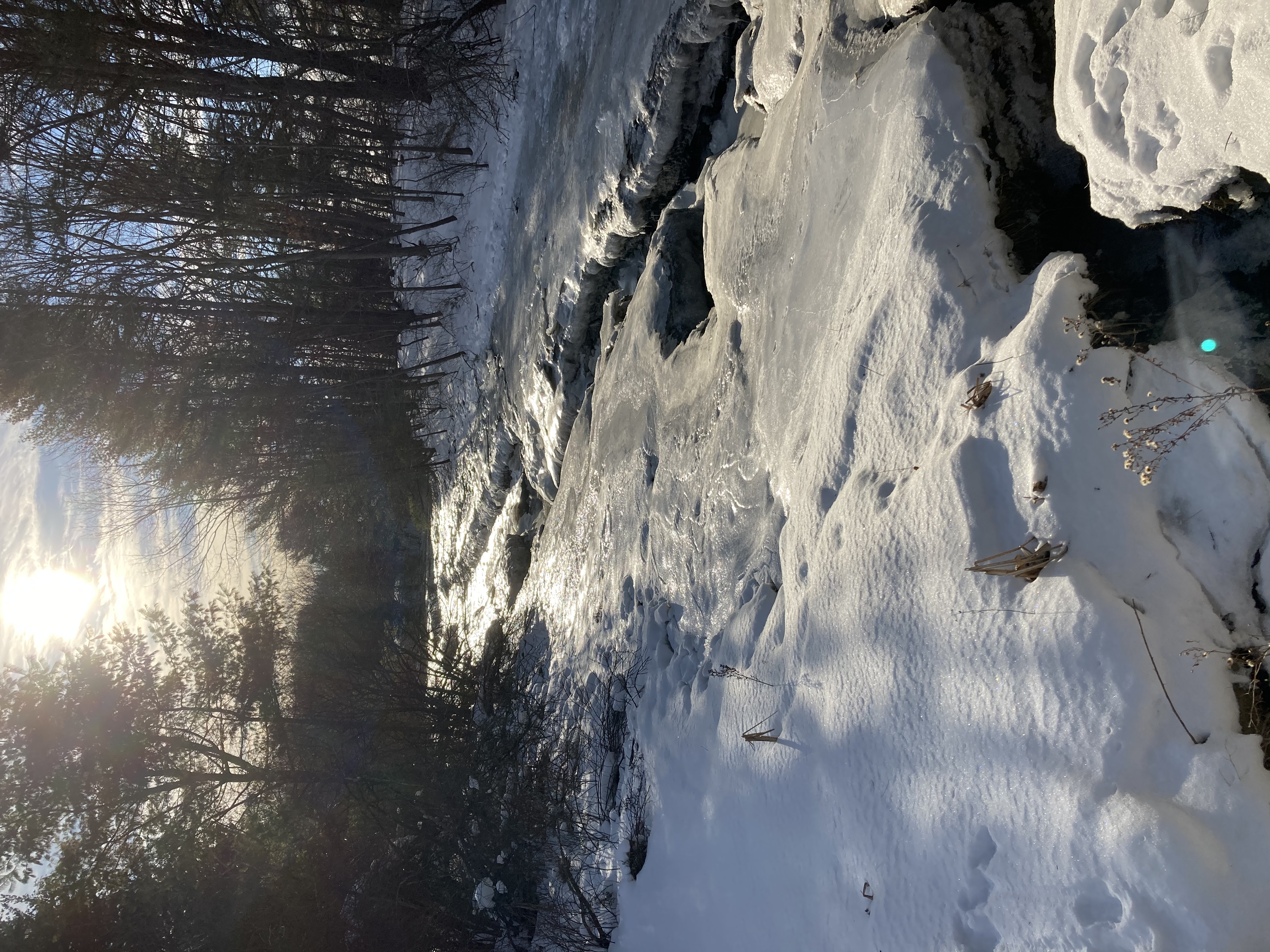
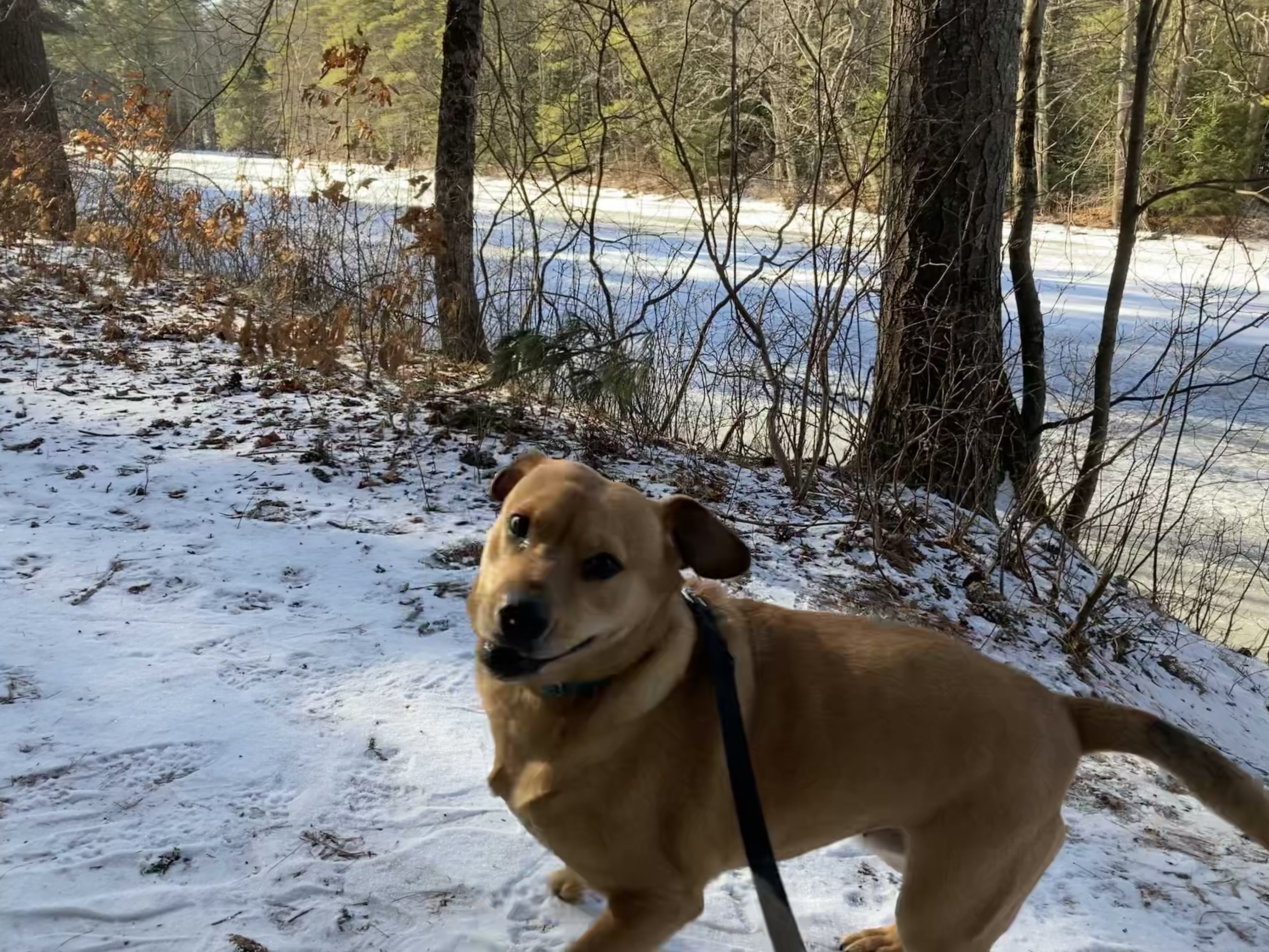
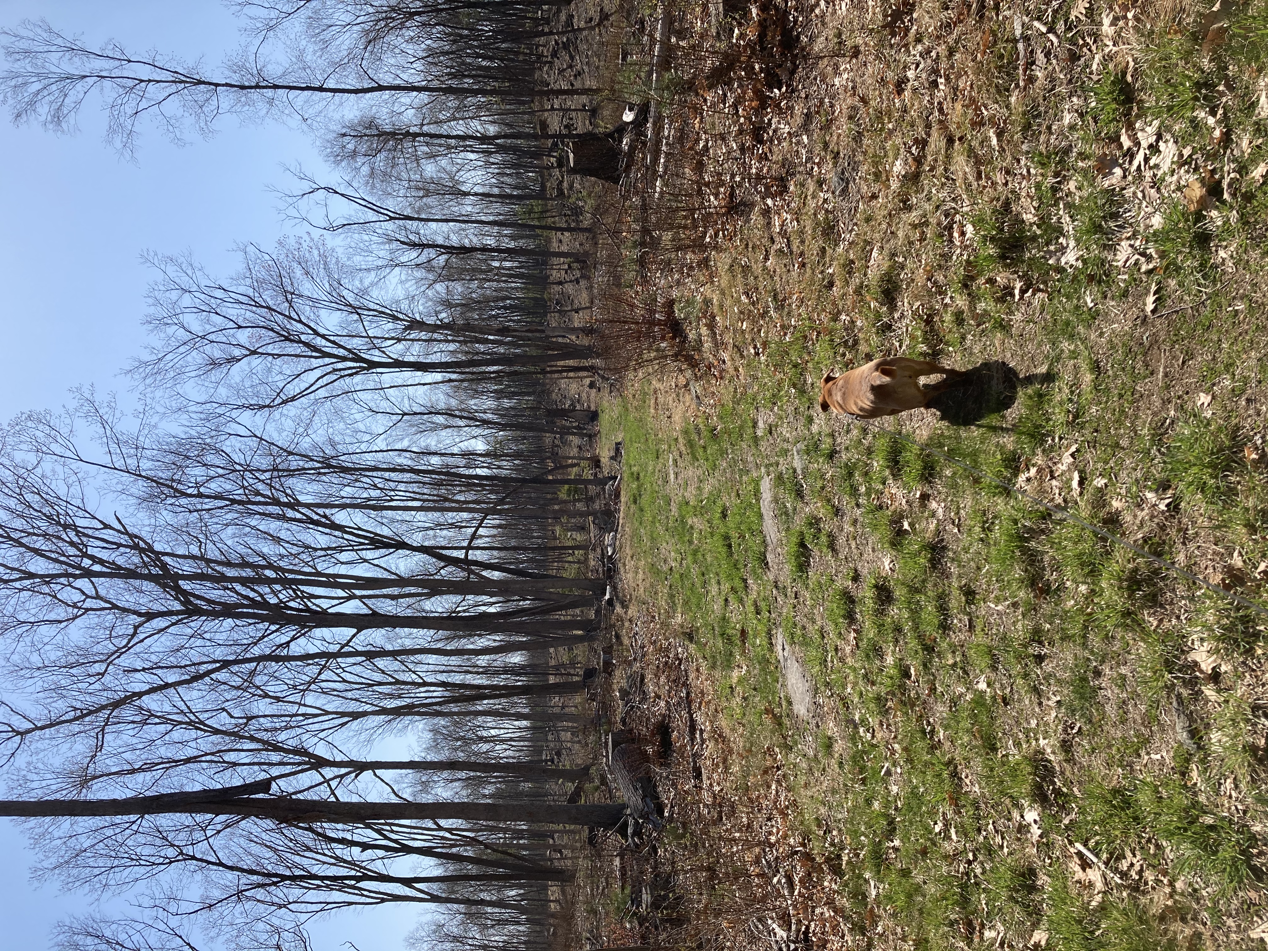
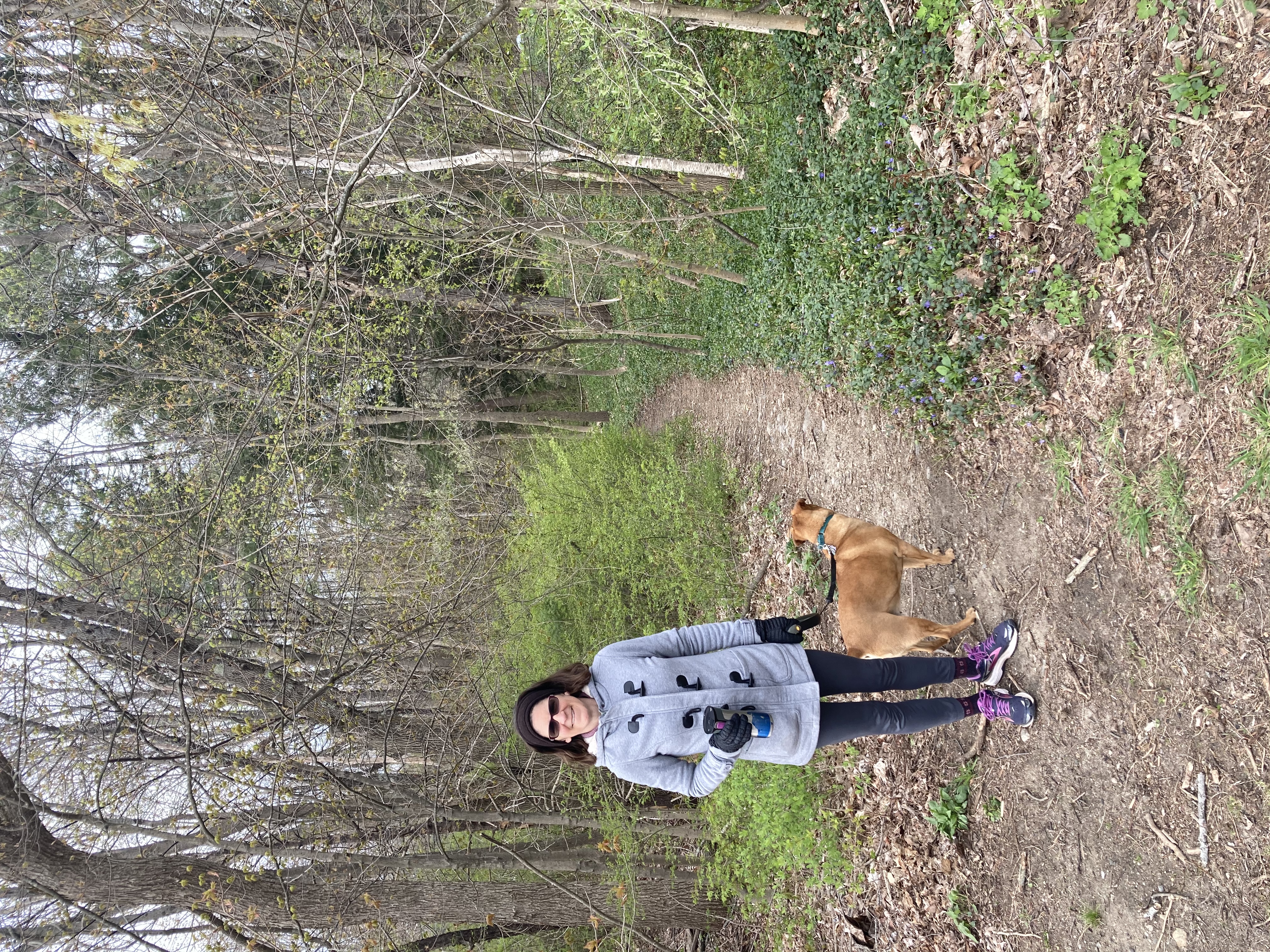
Here we got into “just around the corner” mode, and we found ourselves in an extensive forest.  Portions had recently been harvested for timber, but they were not clearcut.  We still felt like we were in the woods, under a nice canopy, but we could see for quite a distance between the sparse tree trunks and follow the rocky landscape for a fair distance in all directions.

The path turned into a network of snowmobile trails punctuated by a few traffic signs nailed to trees.  Jen went on her phone to find out when we’d come to a street, or to a building with a no-trespassing sign, but things looked pretty empty for quite a while on her phone map.

Talk about adventure!

We enjoyed a nice walk through this thinned forest, but we did not encounter any boundaries — or any other hikers.   We turned around with plans of returning sometime soon to try to see around a few more corners of these trails.   On the way back, we notice a few signs announcing the boundary of an Audubon Society preserve, but it was not clear if we were inside the boundary or outside of it.  There sure was a lot of land around.

When we made it back to the car, we had not only had our hearts full of extreme sports and adventure, we also reached our mileage goal.  All was right with the world.

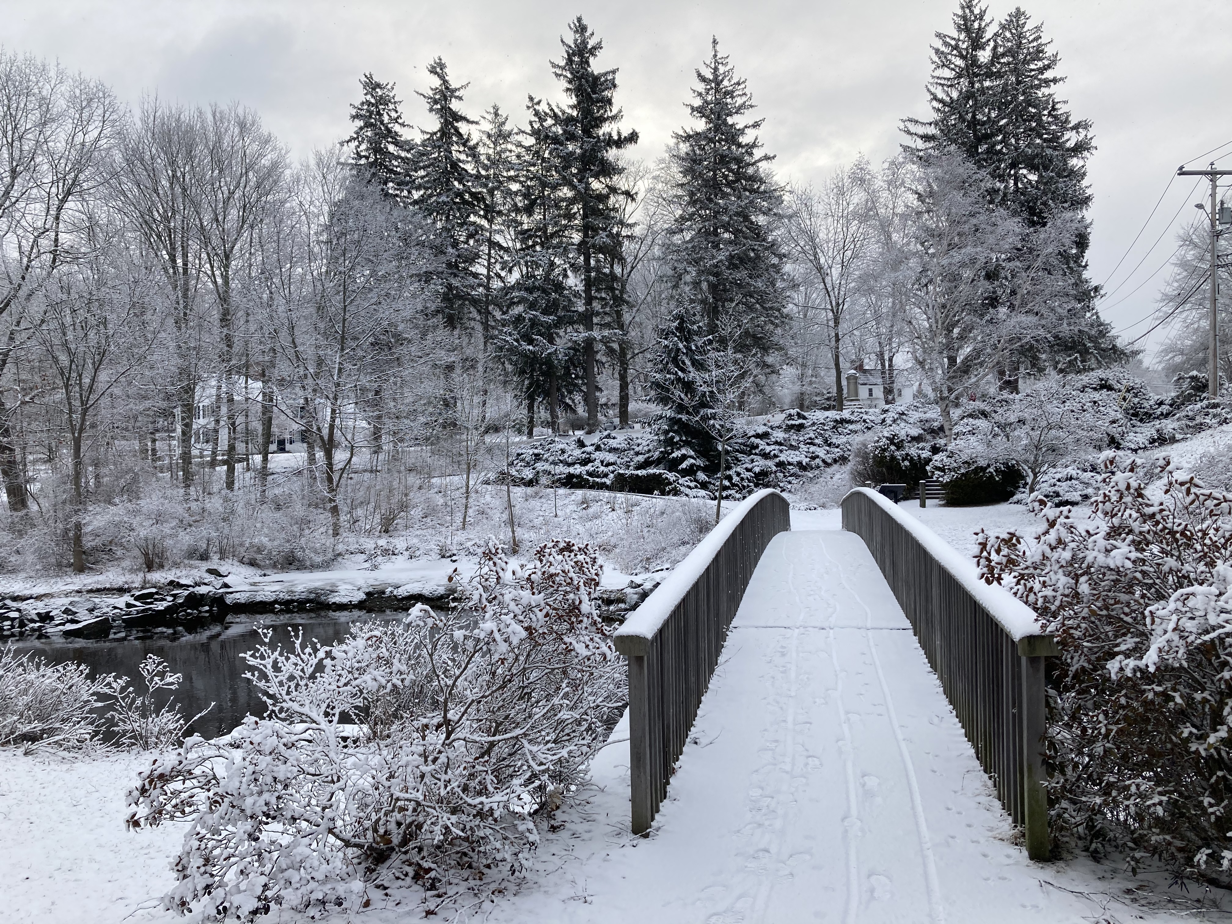
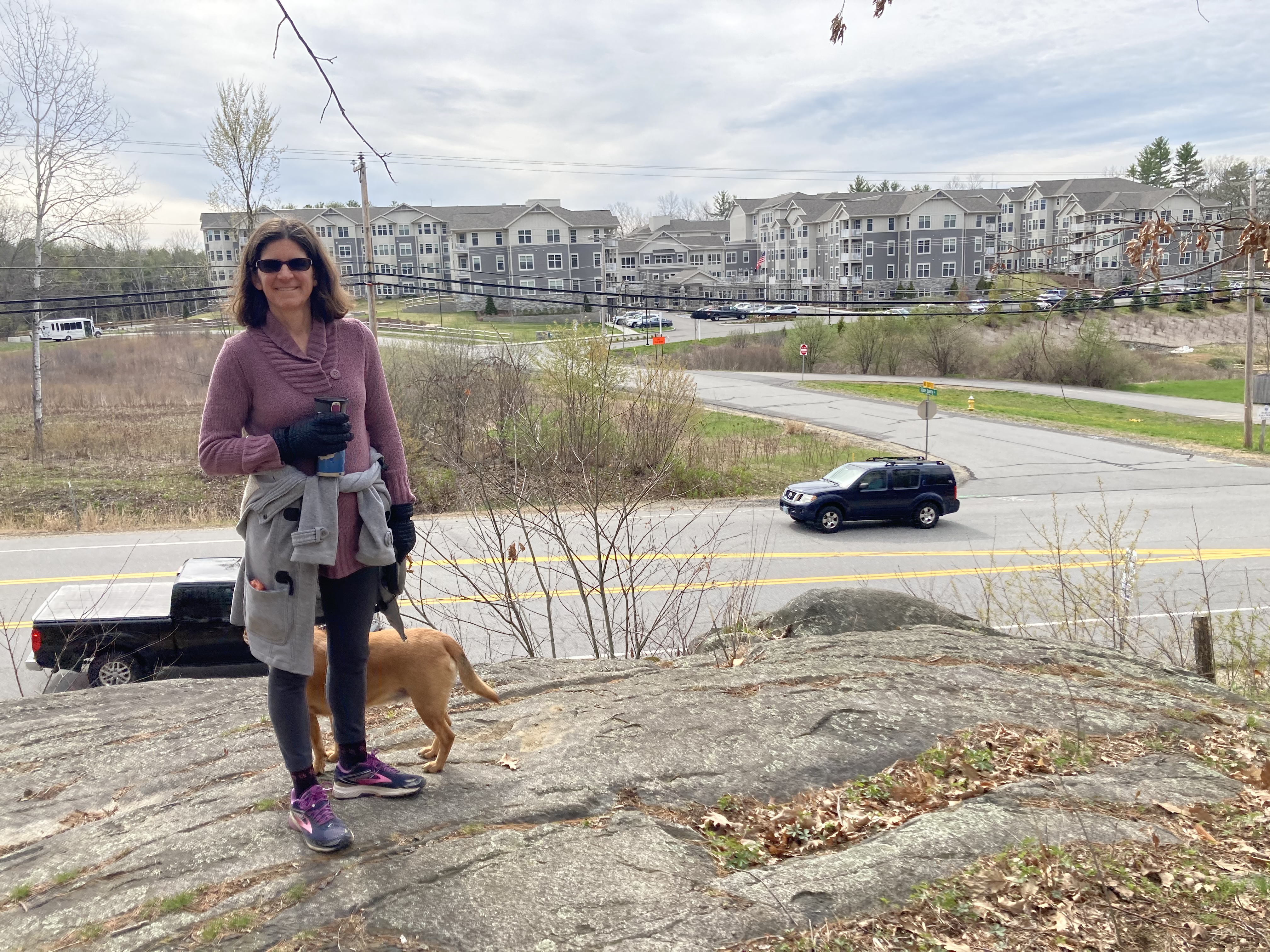
April 30: Marion J. Stolworthy Wildlife Sanctuary/Merrick Conservation Easement

Once more on familiar grounds, we stomped our way through two seprate trail areas in one morning’s walk.  Parking in an Oyster River High School parking lot emptied by April Break, we had quick access to the Stolworthy preseve after short sidewalk trek along Bagdad Road.  We have walked here before, and our children certainly have spent time in this preserve.  It’s brimming with middle schoolers when school is in session.

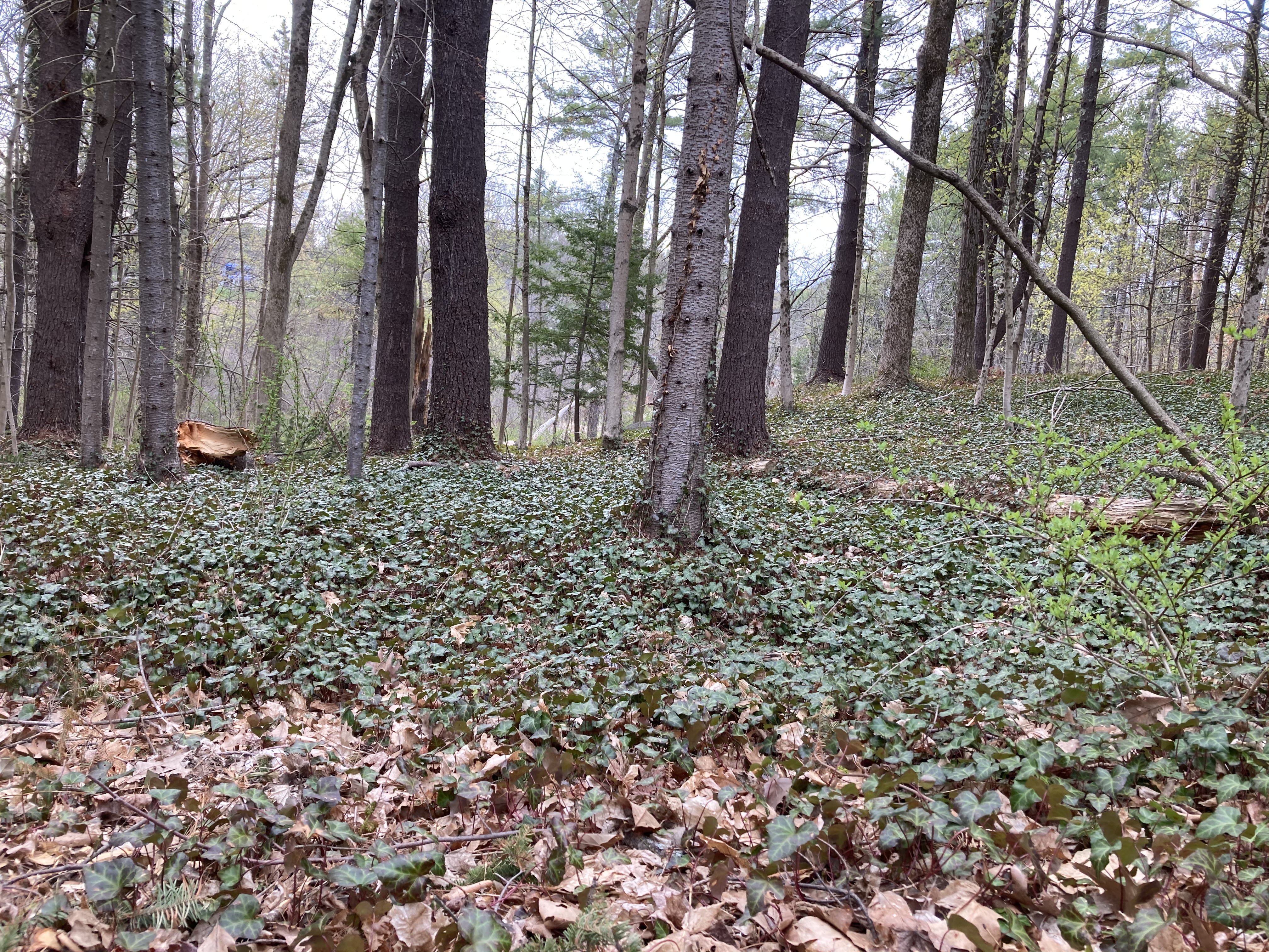
Today was a quiet stroll, brushing against neighborhoods where so many of our friends live.  Still, you can find yourself in the middle of the woods here and not see schools or houses in any direction.  You have to be in the heart of the preserve, though; and you have to ignore clues like the carpet of virginia creeper, or the overgrown Japanese holly bushes, if you want to imagine you’re not practically in someone’s back yard.

It was quite interesting and different to come upon so many domesticated plants in a wild setting.  Daffodils and hyacinths were popping up in random clumps.  There is a patch of pulmonaria like the one in our garden.  Myrtle stretched off in several directions.

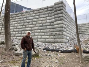
Then, we looked up and saw the imposing wall supporting the new middle school parking lot.  It does not seem like there is currently any access to the school from the trails, which makes sense, given that the school is construction site.  Hopefully, middle schoolers will be able to get into the Stolworthy again once the dust settles.

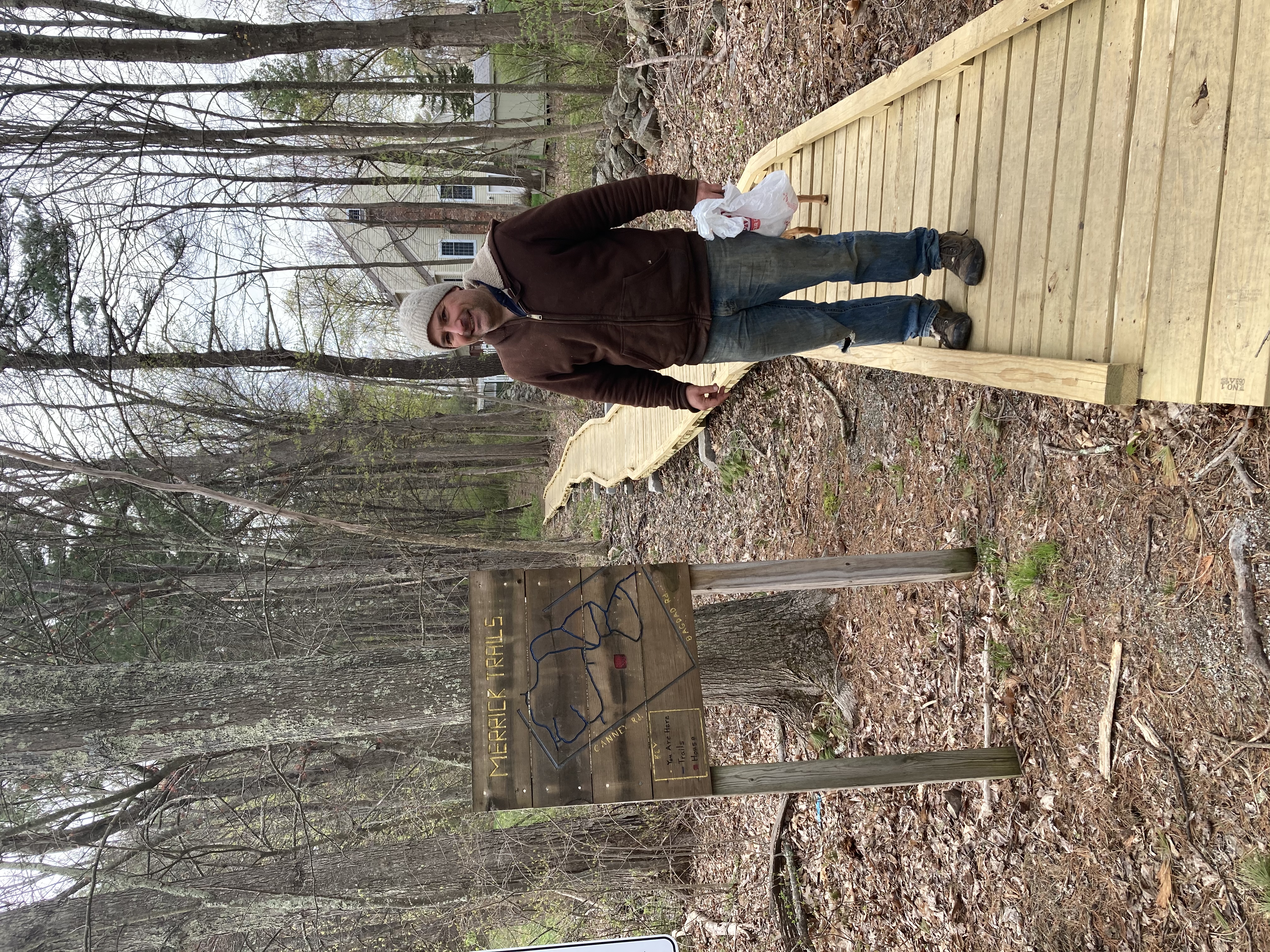
We rebounded off the wall and forked onto a side trail that led to the high school athletic fields.  Then we swerved back and found ourselves on Bagdad again.  About a quarter mile up the sidewalk, past the high school, our car, and route 4,  we found the entrance to the Merrick Conservation Easement.  From this entrance you enter the trails via a well-maintained boardwalk that keeps you out of the mud and gives a nice view of the backyards of the adjacent Nobel K. Peterson neighborhood.

The trail marked in white on the map carried us a full 3/4 of the way around the property, past  a grand view of Riverwoods Durham across route 108 and back along Canney Road.  The white trail dropped us off in a large patch of fir trees that were planted in a grid formation, perhaps by someone intending to sell them as Christmas trees a long time ago.  A spooky, tunnel-like trail led through the heart of this grove, and after that we were ushered on to the blue trail that led us the final 1/4 of the way around the loop.

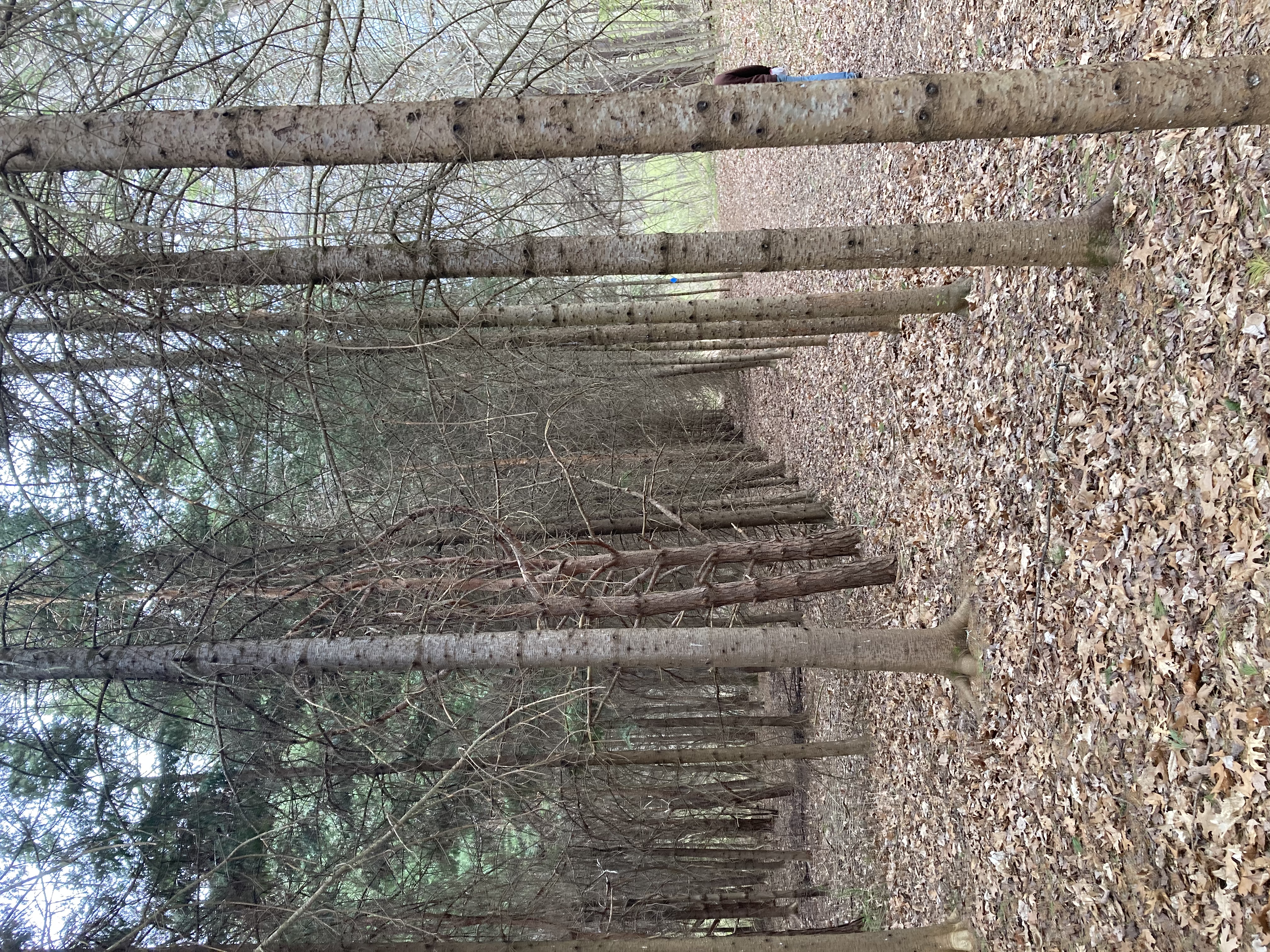
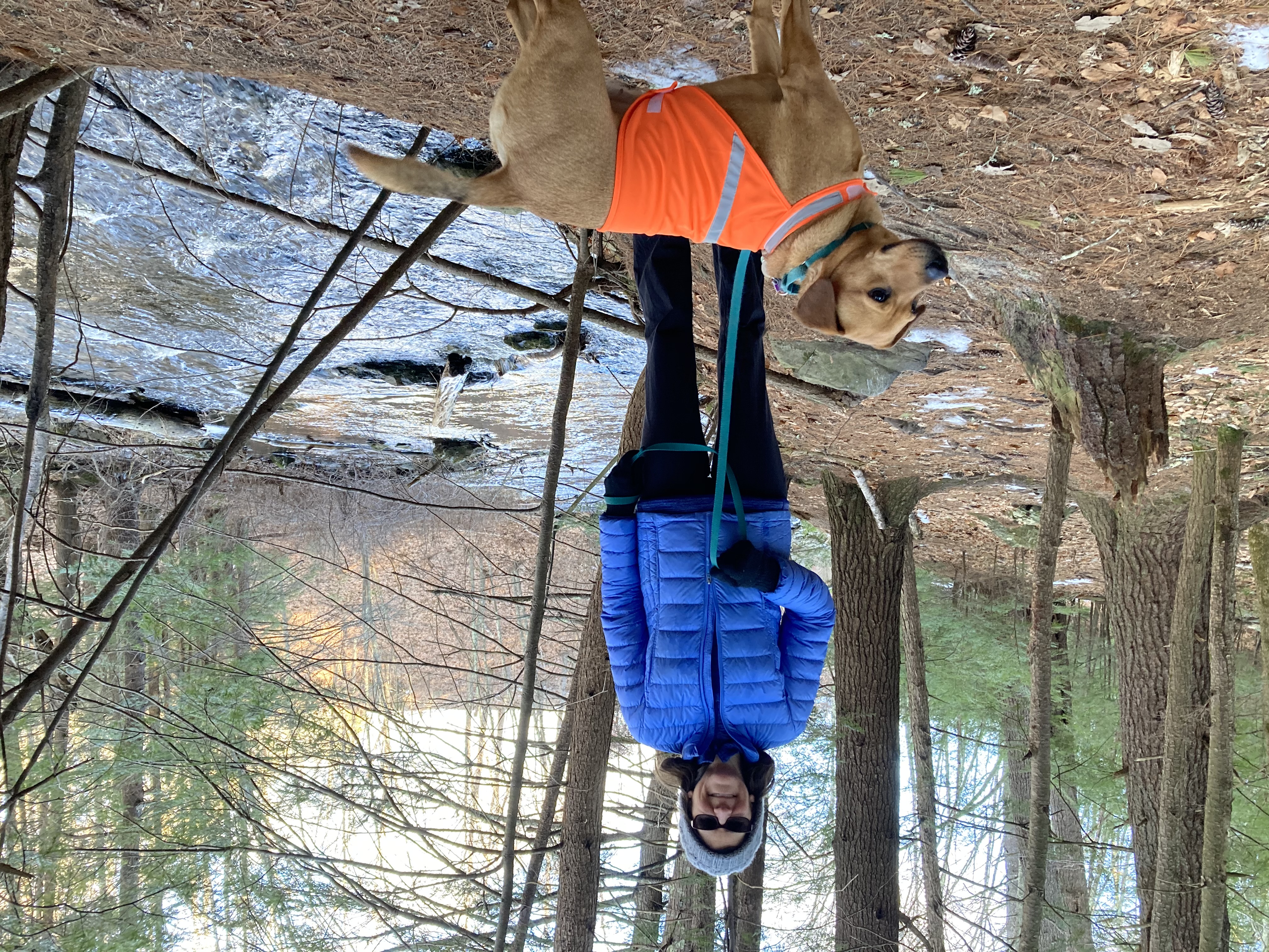
Two loops in two parks forged into a figure eight in the heart of a lot of people’s back yards.  There wasn’t even much elevation gain, and the parking lot had plenty of spaces on a Friday morning during April break.  There really is no reason not to go walking in this town.  Unless maybe if you don’t have a dog.

Trails of Durham – March edition

It’s part 2 of our quest to walk every Durham/UNH trail in 2021!  You can read part 1 here and part 2 here.  Also, we are enjoying our ten minutes of fame after this was published in the UNH newspaper (see page 6).

Ah, March — my least favorite month.  You feel like it SHOULD be spring, but in New Hampshire it generally isn’t.  It teases you with a warm day here and there and then plunges back into cold that seems even worse by comparison.  It’s either snow and ice or rivers of mud, the ground and trees barren and gloomy.  Winter activities are either not possible or not appealing, but it’s not warm enough for much else.  But this year March gave us a bit of a break, with lots of sunshine and temperatures ranging from a little chilly to very pleasant.  In a year when we’re waiting for spring even more desperately than usual, this was much appreciated.

March 6: Doe Farm with special guest Zoe Pavlik!

We had a special treat for our walk today — Zoe was home from college for the weekend and decided to join us.  In addition to enjoying her company, it also meant we could get a rare non-selfie photo of the two of us!

This was another area where we somehow had never been before, even though it was only a couple of miles from our house.  (We did leave for our Doe Farm to Foss Farm walk from this location, but didn’t actually venture into Doe Farm itself.)  And it was another hidden gem.  The path we followed was bordered by the beautiful frozen river almost the whole way, sometimes on both sides.  We probably could have walked or skied right across the river itself, but with March and slightly warmer weather having arrived, we’ll save that adventure for next year.


The path started out along the railroad tracks, and we got to see the train go past at one point — maybe the same train Zoe will be taking to Portland tomorrow en route to Orono.  But soon we left the train tracks behind for the quiet of the woods and the river.  We barely saw another soul during our whole 3+ mile walk, other than one man who was there with a chainsaw to clear the path of trees that had fallen during the recent high winds.

We also discovered yet another lovely picnic area, complete with a picnic table and charcoal grill.  We are mentally filing away the locations of all of these areas, and are geared up for lots of outdoor socializing this summer (although we are very much hoping to be in a place where indoor socializing is also a possibility).

March 13 – Wedgewoord/Faculty/Bennett loop

With the warm temperatures earlier this week (sadly, not today), we knew we would be likely to encounter mud anywhere we chose to go.  We decided to do a long loop walk, partially on trails and partially on the roads.  AND we had heard on good authority from our friend Yvon that the new Kenny Rotner bridge is actually, really in place this time, as opposed to how things turned out on our last attempt.

The view from the new bridge

We left from our home in the Wedgewood neighborhood, starting off with our usually walk to the town landing.  From there we headed into the Faculty neighborhood and down to the site of the new bridge on Mill Pond Road.  It is a thing of beauty, and bore us safely across onto Foss Farm Road and the start of the Foss Farm trail system.  We had to start out by retracing our steps from our last time here (the missing bridge incident), but this time were traveling in reverse.  We then took the trail that we’d intended to take last time, but missed, which would lead us to Bennett Road.

We stopped a bit short of actually going onto Bennett itself — not very pedestrian-friendly — and instead walked under the power lines all the way to 108.  (We did this accidentally last time we were walking in this area; this time it was intentional.)  The power lines are built on a series of rolling hills, and we more than once found ourselves in difficulties getting through wet and marshy sections without soaking our feet.  The final culvert, just before hitting Rt. 108, was a particular challenge.  Daisy ended up wet and muddy from her belly downwards.

Anyway, we eventually made it across 108 and onto Longmarsh Road — and from there back to our starting point at home,  two hours and almost 6 miles later.  We were tempted to keep following the power lines down to Cutts and Ffrost, closer to our house — but we deterred by the marshy areas we could see (and also slightly uncertain if getting out would require us to walk through someone’s yard).  We plan to try it eventually, once we’re into a drier season.


March 21 – Adams’ Point (Perimeter)

Great Bay is considered by many people around here to be the thing we have to drive around to get to the ocean.  That’s when people think of Great Bay at all.

I had this in mind today when I floated my theory about Adams Point being a mini-Mount Desert Island, both in shape and setting.  I was prepared for pushback.

But, really, all we could come up with to separate today’s hike from one in Acadia National Park were:

  • Almost the Precipice Trail

    No mountains here

  • No waves here
  • This place is 3 1/2 hours closer to our house.

All three are valid points, but third one made up for a good portion of the drawbacks of the first two, as we walked Adams Point this weekend.

Great Bay shone in the early-spring morning sun, and it accompanied us the entire way along the perimeter path around the point.  The water perhaps even benefitted from the calmness of the day.  It reflected the clear sky and surrounding forest almost perfectly.

Muddy trails in the field

The paths through the wooded sections unfolded in stone and pine needle carpeting, though the open field segments were quite muddy.

Adams Point is a popular spot, as the full parking lot and the bootprints in the mud can attest, but also like Acadia, it has lots of folds and nooks where people can hide themselves away and look out over the mostly un-molested surface of the bay.  (Two kayakers left from the boat launch as we were walking past, but other than them, two islands, and a bunch of water birds, Great Bay’s surface was unoccupied. )

Almost full parking lot at the boat launch

Sometimes we would glimpse a portion of someone seated among the rocks, but who knows how many people we walked past and didn’t see.  The park did not seem crowded, though both parking lots were close to capacity when we walked past.

There are more trails criss-crossing the interior of the park, but the one drawback of being so close to home is that we are closer to things we have to get back to.  No wandering all morning long like we did in the Tin Mine Conservation area.

We will get to those interior trails on another trip; today we were content to stay near the water and follow the point’s perimeter loop.  And we managed to get home before the breakfast Lanie had prepared for us had gone cold.


Trails of Durham – February edition

It’s part 2 of our quest to walk every Durham/UNH trail in 2021!  You can read part 1 here.

(We also headed a bit further afield this month; if you are interested in hearing about our exploration of the Trails of Jackson, NH, check this out.)

As usual, Jen and Bob collaborated on this post, so figuring out who the narrator is at any given time is an exercise left to the reader.

Spruce Hole Bog – 2/6/2021

After some fresh snowfall this week, today we traded in our walking boots for our cross-country skis.  Unfortunately this meant Daisy couldn’t accompany us, but she seemed to consider staying home and lying by the fire to be a fair substitute.

No map, no problem.

Now that we have our Strava app, we’ve gotten a little nonchalant about consulting maps and having a plan as to where we’re going.  I neglected to bring a copy of the map, and in fact didn’t even glance at it before heading out.  (This later proved to be a bit of a mistake.  Unlike our last walk, Strava was sadly unaware of the location of the trails, so while we could see where we were as a dot on the map, there was no way to see how to actually get back to where we wanted to be.)

This place is great for skiing, though.  We initially found wide trails with actual Nordic grooves along the sides (either actually groomed in or possibly skied repeatedly by skiers more talented than us, who can keep their feet straight and evenly spaced).  We passed through woods, fields, and marshland, and even made it down a not-very-steep hill without falling over.

Eventually we had a fork in the road and decided to stay out in the open marshland rather than heading into the dark forest.  (The dark forest started with a substantial hill.  While many XC skiers may be deterred by a steep uphill climb, Bob and I are usually more terrified thinking about getting back down.)  The trail we took proved to be one of those paths that start out looking very much like a trail, and then gradually get narrower and more overgrown, until finally you’re skiing over underbrush and come to the conclusion that something has gone wrong somewhere.  Despite the ski tracks continuing on ahead of us, we decided to backtrack and try the woods instead.

Maybe the turkey tracks will lead us out of the woods and back to civilization.

Alas, this did not last very long either.  The hill proved as difficult to surmount as we’d feared, and we’d no hope of getting back down.  We finally decided to consult Strava, and found that we were not, as we’d hoped, heading back in the direction of our starting point.  Instead, the trail we’d abandoned seemed like it had been the way to go — it seemed that if we’d continued on a little further in that direction, we’d have come back to the main trail.  So, off with the skis to walk back down the hill, and then back off on the possibly-not-a-trail again.

Skiing among the stubble — this might not have been a trail but we skied across it twice.

The trail got more overgrown.  We met some people walking the other way and assumed they must have come from SOMEWHERE, so we persevered.  We discovered that the yellow part on the map that we’d wondered about actually signified a marsh.  Eventually we were following a single set of ski tracks on a seemingly random path through trees and underbrush.  At one point we could see the roof of the nearby assisted living facility and thought maybe we could make our way to their parking lot, but were foiled by a thin strip of forest and an impregnable-looking yew hedge.  In the end, we had to give up and backtrack yet again.

(By the time we got back to the trail junction , our four total trips up and down the possibly-not-a-trail had made it look even more trail-like.  We passed some walkers and, looking behind us, saw them veer off in that direction.  A few minutes later we could see them across the field, scratching their heads and consulting their maps.)


Wagon Hill Farm – 2/13/21

Here’s a tip from a few locals:  You have to choose your time wisely when you’re going to Wagon Hill Farm.  Town-approved off-leash hours are extremely popular, we have found since we got a dog.  More than once this summer we failed to find parking during Saturday morning free range time.  We eventually stopped going , and now we’re making a big deal about hiking all the other trails in town, just to punish Wagon Hill.

But to really complete our goal, we have to do Wagon Hill; and to do that we either had to get lucky or have a plan.   Well, we could go at a time when Daisy would have to be on leash, but then we would be ignoring the unique opportunity to let her run free.

So we went with having a plan, and the plan was this:  Maybe it’s too cold this morning for people to go to off-leash hours.

What do you know — our plan worked.  There were plenty of parking spaces and lots of space on the 1.5-mile perimeter loop.  There were sunny skies, gleaming fields, and sparkling water.  There was the urge to keep moving and not linger on the scenery, because it was 16 degrees.  It was ok, though.  Daisy has a good coat.

Now, at home by the stove, we can linger on the pictures.  Wagon Hill is one of the four Crown Jewels of Durham hiking (along with the Sweet Trail/Longmarsh Conservation Area, Adams Point, and College Woods).  Wide open field views, plenty of space, shoreline hiking, scenes across the bay into the wilderness side of Newington — these all make for a can’t miss hiking experience here, even if the whole round trip is just over a mile and a half.  You don’t have to rush through it (when it’s, like, 25 degrees or warmer) and you shouldn’t.

As for the canine riff-raff on a Saturday morning, the cold might have kept people away, but the Town of Durham was not taking chances.  As we returned to our car in the still-mostly-empty parking lot, we passed two occupied police cars.

The police officers were probably justthere to keep an eye on things; but it is interesting to note that in a college town, so much of the public safety resources on a Saturday morning were dedicated here.  Sure, they would likely switch to downtown and the UNH campus as the students woke up and began moving around and the townies emerged from their homes, but Wagon Hill is still important enough to our community to keep an eye on it, too.

Oyster River Greenway (Town Landing)

Turtle pond

We’re a bit light on hikes this month — the snow finally arrived and we’ve been spending some of our weekend days skiing instead of walking.  So I’m going to include this walk for February, which could be documented anytime because we (or at least I) walk it almost every day.

Through all seasons and weathers, first thing in the morning we’re generally taking Daisy for the half-hour round trip walk down to the Town Landing on the Oyster River.  The actual “greenway” is kind of comically small and doesn’t include any kind of actual trail — “park” would really be a more appropriate word.  But it’s hard to beat for easy-to-access beauty in all seasons.  Plus the town actually does include a “trail map” for it on its website, so we’re going to go ahead and count it.

Even though most of this walk is along the road (and a busy road at that), I really love the whole thing.  The first thing we pass is the small, marshy pond at the edge of our neighborhood where turtles sun themselves on rocks in the summer.  In spring, when we’re so thankful to feel the temperatures begin to rise, we always slow the car and roll down the windows when passing at dusk to hear the spring peepers begin to sing.  In winter it is a lovely picture of snow and ice.


We pass by stately Colonial-era houses and barns, fronted by old stone walls dug out of the fields by the farmers who first settled here.  Across the street is a rolling field, always lovely in the morning light.  (This past year the stone wall fronting it had to be moved back, and the town planted purple lupins all alolng the front of it — an unexpected delight in the spring.)

We pass the General O’Sullivan house and monument, which played a key part in the Revolutionary War (though apparently General O’Sullivan himself was actually not such a great guy).

When we eventually reach the landing, a graceful wooden footbridge invites us across the river.  Glancing to the left reveals the waterfall coming off the dam that forms the Mill Pond (at least for now; dam removal may be coming to restore the natural river).  This is a tidal river, and thus is different every day — sometimes just a trickle with mud flats stretching on either side, sometimes flooding over its banks and partially submerging the picnic tables along the shore.  We walk down the road to the end of the park, then loop back by walking along the stone wall that defines the edge of the river.  (One time Daisy somehow managed to fall off the edge; luckily that was a mud flat day so she was able to walk to safety.)

Bob has fond memories of this walk as well — all our girls went to preschool at the (now sadly defunct) Old Landing Children’s Day school, so this is the path they would walk to be dropped off in the morning or picked up in the afternoon.  Now we’re happy we have Daisy to motivate us to revisit it each morning.

Colege Woods – 2/24/2021

Right at the center of it all is College Woods, where more people walk their dogs, jog around, cross country ski, and just generally hang out, than any other trails around.  Not as scenic as Wagon Hill, it is much larger and more heavily criss-crossed with trails.  It is easy to get lost, or at least to feel lost in College Woods.

So it will come as a bit of a surprise that we did not get lost on our walk this week.  The closest we came was a little anxiety over whether we allowed to walk along the concourse behind the football stadium, and how close to the cross country trails we could get before we caused damage to the skiing.  We decided to risk the avenue behind the stadium and to try to keep our from the ski ruts as well as we could.

From past walks, skis, and runs through the woods, we had a pretty good idea of our bearings.  Today we started and ended at the NH Public Television station parking lot where we used to drop Zoe off for high school cross country practice.  We passed the main crossroads at the center of the woods, in front of the dinner table-sized sign announcing the presence of a natural area.  I always considered this the Grand Central Station of College Woods.  Lots of people always seem to be coming and going to and from this semi-clearing.

Not today, though.  We passed fellow dog walkers at either end of our walk and one runner who might have been a member of UNH’s womens cross country team, but no one else.  Even the football stadium and adjacent athletic fields were empty.

We made such good time and the trails were so pleasant that we decided to tack on an extra loop before we wrapped it up.  Side trails wandered off sporadically.  We will have to pay multiple visits to College Woods to cover the majority of its trails.  Jen suggested we come back once a month, and that might be enough to keep the college students reading the blog.

Right now passage is easy, but mud season is coming.  College Woods seems to be one of the less swampy trails, so it will be a good place in the spring and summer.  It will very likely factor into our “Longest Continuous Hike in Durham” that we’re planning for sometime later this year.   Right now it looks like we can walk from Doe Farm on Bennett across (on the proper trail) to Foss Farm, then cross Mill Road and enter College Woods, which should allow us to connect to the Spruce Bog Hole trails.

That sounds like a nice day of walking doesn’t it?  If we can tack anything onto that basic framwork, we shall.  Stay tuned to the blog for more details.

Our first winter anniversarymoon

The Riverwood Inn

We generally alternate planning an anniversary weekend getaway each year, but I’ve been slacking off a bit.  I should have planned one for fall 2019, but we were so busy with school stuff and college visits and kids’ sports — plus a fun weekend trip to NYC with friends — that it didn’t quite happen.  Then 2020 rolled around and things were even worse — lockdowns and travel restrictions, Zoe starting college and the other kids stuck schooling at home, social distancing preventing them from staying with various friends and family while we were away.

At the Wildcat Tavern — first time in a bar in almost a year!

So when winter 2021 dropped a getaway opportunity in our laps, I seized it.  Lanie is skiing at Sunday River with one of her friends in her “pod”, and Nadia is visiting colleges with her best friend.  That, combined with Bob’s recent big birthday, made a perfect case for our first ever winter anniversarymoon trip.  Options were, of course, somewhat more limited than usual.  Because of COVID concerns and travel restrictions, we needed to stay in NH or ME.  I wanted to have kitchen facilities so we wouldn’t have to eat at restaurants.  And any activities we planned to do would need to be outdoors.

Fortunately, we found all of these things at the Riverwood Inn in Jackson.  Our room included a kitchenette that allowed us to make most of our food.  And its location in the mountains, directly on the Jackson XC cross country ski network and nearby to all manner of winter outdoor adventures, was perfect.

Terraforming Mars by the fire

We arrived in the late afternoon on Wednesday and had the whole place to ourselves.  We got a warm welcome from one of our hosts, James, who showed us around the first floor of the inn.  (We stayed in the carriage house, a separate outbuilding, but were welcome to spend time in the inn’s lovely living room in front of the fire, sipping coffee, tea, or cocoa.)


We decided to treat ourselves to dinner out for our first evening, assuming that if we went very early we’d avoid any crowds.  Accordingly we strolled down the street to the Wildcat Tavern at 4:30, and initially were successful in our strategy.  The Wildcat must get a big apres-ski crowd after the mountains close, though, because by the time we finished our (delicious) dinner, the place was pretty packed (at least by COVID standards).  It was very odd being in a bar with live music and lots of people.  Though it was a fun interlude in a way, we didn’t linger.  Instead, we returned to the inn for a solitary evening playing a game by the fire.

Setting off on our skis, with our inn visible on the hill

The next day, after a delicious breakfast prepared by James’s wife Susan, we headed out the back door to hit the cross country ski trails.  Jackson XC maintains a huge network of groomed trails, and is one of the best places in New England for Nordic skiing.  Bob and I are enthusiastic skiers, but not very skillful ones, so we started off skiing the loops around the large, semi-flat golf course right in Jackson village.  We then crossed over the iconic covered bridge and headed out on the Eliis River Trail.  This was rated as “easy” but still contained plenty of challenges for us, especially with the somewhat icy conditions.  (We just cannot figure out how you are supposed to stop, or turn, on these skis.  If your instincts take over and you attempt to do it the way you would on downhill skis, disaster quickly ensues.  So we approach every downhill, especially those that involve a curve, with great trepidation.)


Well, we managed to get out and back on the river trail without serious incident, and wanted to keep going.  We were hoping to make our way to the Eagle Mountain House for a trailside snack and some skiing on the network of green (easy) trails surrounding it.  Unfortunately there was an ominous section of blue — 1.1 miles, to be exact — that we would have to traverse to get back to the green area.  We decided to give it a try, figuring we could always take off our skis and walk down any particularly scary hills.

Throwing in the towel

A few tenths of a mile in, we were rethinking this plan.  We’d been duck-walking the whole way (nearly falling over repeatedly in the process), up a trail that climbed ever more steeply.  We already knew there was no way in hell we’d be able to ski back down — in fact we couldn’t understand how it would even be possible for ANYONE to ski back down, without careening off the icy path into the trees at very high speeds.  After close to half a mile of this, with no end in sight, we threw in the towel.  Fortunately, we were close to a snowshoe trail that was sufficiently packed down for us to walk on — so, carrying our skis, we retreated in defeat.

Luckily we were able to console ourselves with wine and cheese followed by a delicious dinner that we’d set up in our crockpot that morning.  We enjoyed another evening of games by the fire (we’re still the only guests here) followed by a much-needed early bedtime.

Because we’d skied earlier this week at Sunday River, and because Lanie was telling us ski conditions weren’t great, we decided to go for a winter hike the next day rather than pulling out our downhill skis.  Fortified by another excellent breakfast and large pot of coffee, we drove up to the Tin Mountain Conservation Area on the infamous Tin Mine Rd.  (We were in Jackson last month with the whole family and our friends the Halls, in a big rental house way, way up on the mountain.  After a semi-disastrous day attempting to ski in a blizzard, we found ourselves unable to drive up said Tin Mine Rd., and had to abandon our cars and hike the rest of the way back to our house while jumping into the snowbanks on the side of the road anytime a car came skidding by.)  Luckily the weather was clear and we were able to make it up the steep track without incident.

That’s snow-capped Mount Washington in the background

This was a beautiful place for a hike.  Technically these are snowshoe trails, but they’ve been packed down enough that we were able to walk in just our boots –– though stepping off the side of the trail resulted in sinking up to your knees.  The nice thing about this area is that it’s crisscrossed with many trails, but there are signs at every junction and they all loop back on each other — so you can just wander pretty freely with confidence that you’ll eventually end up back at the Grand Junction.  We eventually made our way to the summit, up some pretty steep paths, and earned great views of Mount Washington as well as Attitash and Black ski areas.  Getting back down was less elegant, and we sometimes resorted to sliding on our bottoms.  We were enjoying our walk in the woods so much that we just kept taking new side routes to visit the various landmarks mentioned in the signs — the summit, the pond, the old tin mine, the stone boundary wall.  It was a very pleasant, if strenous, few hours.

James had noticed that we had brought some of our complicated strategy games with us, and so that morning he’d shown us a game that earlier visitors had accidentally left behind — Wingspan.  We’d heard of this and were eager to try it out, so that’s how we spent our late afternoon.  (Seemed like a good game, and not too difficult to learn, although neither of us felt like we had much of a grasp on the strategy.)  We also took the opportuntity to visit the nearby White Mountain Puzzles store and stock up — I’ve been doing a lot of puzzles these days.

Today was Saturday — time for us to head back home.  The inn had filled up the night before, so there were a lot more people at breakfast than we were used to.  (This did allow us to overhear a funny conversation — a rare instance of womansplaining.  Wife: “These tablecloths have really nice embroidery.  Embroidery is when you take a needle and –“.  Husband (testily): “I know what embroidery is.”)

Along with the new guests, snow also arrived — just in time for our drive home.  Given the weather we didn’t linger — though we did make a quick stop in North Conway to visit the Naked Bohemian store and pick some cool garden art for the lake.  The kids don’t return until tomorrow, so we’re taking the opportunity to have a dinner that they wouldn’t like and one more quiet evening.


Walking the trails of Durham


Note: Bob and Jen both contributed to writing this entry, so the “I” referred to below may not always be the same person.  You can play a fun game trying to figure it out from context clues, such as passion for composting.

Traveling isn’t happening so much these days, so we’ve been inspired to seek out adventures closer to home.  For Christmas, we draw names and create homemade presents each year — and this year, one of Bob’s gifts to me was a full set of Durham/UNH trail maps.  So many miles and miles of trails!  The Great Bay, rivers, woods, wetlands, fields — Durham has it all.  We are very fortunate to live where we do.

Our goal for 2021 is to walk every one of them.  You’d think, having lived here almost 20 years, that we would have done this already, but we get into the habit of going to the same places over and over, and in fact there are several places we’ve never visited at all.  With Daisy’s steadfast accompaniment, we feel ready for the task.

December 29, 2020 – Kingman Farm

OK, we cheated a bit and got a slight head start in 2020.  Also, this one is technically in Madbury, but it’s UNH land so we’re still counting it.

We started in the northern section, where we’ve never really visited.  Much of our route wound along the Bellamy River, before eventually looping inland.  We navigated the marked trails quite capabably — until we didn’t.  Somewhere between turning right at the compost field (we saved that attraction for another hike) and rejoining the river-side loop, the trail disappeard.

The terrain of the map just did not match the terrain of the trail.  There was some bushwacking, unfortunately; but nobody panicked.  We soon found our way back to the river and completed the journey more or less like we intended.

January 3, 2021,  More of Kingman Farm

This time we approached the Kingman Farm from the Hicks Hill trail head behind Madbury Town Hall.  It was less than a week after our first hike, and we were less than two miles away from the Bellamy River trail head, but things were very different this time around.  Because  we had several inches of snow over New Year’s, the mood now was definitely more wintery.

The arrow points to compost.

Today’s hike would take us to the highly anticipated Compost Field marked on the map (composting is one of my favorite pastimes), but it would also take us to the top of Hicks Hill, also known as Chief Moharimet’s Hill.  Could we make it up the snowy hill without microspikes?  We would just have to give it a try and find out.

But we made sure to visit the Composting Field first just in case an avalanche or something prematurely ended our lives.  If we never made it out of the woods, at least we would have seen the Composting Field.  And, wouldn’t you know, the place did not disappoint.  It was a two- or three-acre clearing with a half dozen 100-yard-long berms of some sort of material, just sitting there, rotting wonderfully.  It was difficult to tell what was actually composting because of the snow.  Kingman Farm is associated with the university, so it was probably food scraps from dining halls, and maybe the hay-strewn by-products of the horse and cow barns.  Really cool stuff.   We didn’t dig around because we didn’t want to disturb the composting.

There were several other people in the clearing with us, including a few other dog walkers and  two or three trail runners.  The latter group were really taking their chances on this day.  The Composting Field — possibly because of the slightly raised temperatures emanating from the biological processes taking place — seems to have melted and re-frozen several times.  The walking paths were covered in many places by two inches of slick ice.  It was tough to walk on;  running was out of the question for us.  Plus, who wants to hurry through a compost field?

We finally tore ourselves away and wandered through a more traditional wooded setting.  There was a slight rise for a while as we curved around back toward the Madbury Town Hall.  Then, the land dropped away and rose again on the other side of a hidden valley.  We had the option of a straight-up path, but we chose the switchback trail because of the snow, and we made it up the far side of the valley quite comfortably.  It was not nearly as icy here as it was on the Composting Field, thankfully.

Atop Hicks Hill

The top of the hill, which we had seen behind the town hall many times — and maybe even climbed once — boasted some benches and a geological marker, though not much in the way of views.  Nevertheless, it was pretty, young-growth forest and well maintained trails that were forgiving as we climbed down the far side and finished our loop.

We returned to our car having traveled most of the trails on this side of the Kingman Farm property, but the map shows there still are several miles of trails on the other side of the farm.  The tricky thing might be finding out how to access those trails.  There used to be parking spaces on route 155, but that seems to have been shut down at the same time that a large fence was erected around the working part of the farm.  We may have to re-trace some of our steps to get to the unexplored parts.

Today’s hike in purple

Before we decide on that, though, we might step away from Kingman Farm and see what trails the other preserves and conservation have to offer.  There are more than 40 miles of trails left, after all.


January 9, 2021,  Doe Farm to Foss Farm/Steven’s Woods to Durham Greenway

Look closely for evidence of trailblazing.

Don’t be fooled by the fact that we’re walking on trails only a few miles from our house.  The opportunity to get lost or side-tracked during this project is quite real.   Even with a pretty good familiarity with our surroundings.  Even with maps.

Nice and open under the power lines

Our maps — both from the town of Durham and from UNH clearly indicated a path connecting Doe Farm, off Bennett Road, with Foss Farm, near Mill Street.  But we can now say with certainty that they don’t list every path connecting the two preserves.

We had trouble following the trail on the map.  Very soon after Zoe dropped us off in the parking lot (our plan was to hike our way downtown and then walk back up the hill to our house), we missed a turn.  Perhaps we were wrong to assume the trail followed the power lines.  Maybe it did followed the power lines for a while, but we neglected to see the turn off.

A fine turkey print

In fact, we enjoyed walking under the power lines. The ground was cleared and we could see a fair distance along the lines.   There was just a coating of snow and we saw lots of animal tracks that I photographed for school.  There were enough little brooks and puddles to jump over that we let Daisy off her leash (we didn’t see any other hikers around once we left the parking lot).

We were having such a good time, it was a bit of a surprise when we found ourselves overlooking route 108.  We had nearly walked all the way back home, without doing the downtown part.

A faint trail led off towards town and we decided to take it.   The

Somewhere between Doe Farm and downtown

snow here was unmarked by hikers’ feet.  Jen checked the picture of the map on her phone.  It didn’t look like we should be near 108 at all.  But we kept walking.  We knew where we were — sort of.  We would get to the Mill Pond Center eventually — maybe.  Those houses on the other side of the ice might be Laurel Lane.  That could be the Oyster River.   We staved off any chance of panic by feeding our curiosity.   We probably were never more than a mile and a half from our house.

Then we met a trial that actually had blazes on it.  There were footprints on the ground and a sign with the UNH logo announced an un-maintained trail.  The sign was referrring to the trail we had just walked in on.    There are more than one path connecting Doe Farm with Foss Farm (the UNH trail we found was in the Foss Farm system).  If the maps represent the 50 miles of trails our town boasts about, then they are underestimating their network.  There are 51 1/2 miles, at least.  We found more miles.

Future site of pedestrian bridge, as viewed by current pedestrians

Once in the the Foss Farm network, we saw that not only are the trails marked, they’re color coded to the map.  We really knew where we were now and we guided ourselves to the new bridge that had been assembled to connect the Foss Farm neighborhood with the Faculty neighborhood.   We had read about it in the town updates.

Then there it was in front of us, in all its silver metal glory, sitting along the driveway to the pump house on the other side of the river.  We had read that the bridge had been assembled; we had not read that it had been installed over the river, because it had not yet actaully been installed.  This is a good lesson in why we should read the town updates very closely.

Sub-urban hikers

After briefly toying with and then quickly discarding the idea of attempting to ford the river, we walked some more through the Foss Farm woods and out onto Mill Road, then into downtown and up the hill back home.   It turned out to be quite an epic walk — bypassing the bridge added another hour to a walk that was already two hours old.   Daisy was wiped out by the time we got home and so were we.


January 23, 2021, Longmarsh Conservation Area

One of the Longmarsh beaver ponds

The dam that holds it back

It could be said that the crown jewel of Durham-area trails is the Sweet Trail — that four miles of wild beauty that stretches into Newmarket and to the bay.  The Sweet Trail is very popular among walkers and trail runners, but most of the attention seems to sway toward the bay side of the trail, whereas we tend to gravitate to the inland terminus, the Longmarsh Conservation Area.

One of the Longmarsh beaver dams


Not only is it supremely accessible to us — it’s on the other side of our neighbrhood — the Longmarsh Conservation Area offers views of multiple ponds held in place by feats of natural engineering that stretch our understanding of how non-humans can alter the environment.  One beaver dam in particular should be listed as a modern marvel of the natural world.  It is about 100 yards long and four feet high at its deepest point.  Kindly bipeds have constructed a boardwalk at the base of the dam so other bipeds can walk along it, our head level with, or only slightly higher than the water in the pond.  It gives the impression that you’re swimming without getting wet.

Actually, a  full handful of beaver dams lie along the deserted section of Longmarsh Road, including this natural wonder of the world.  We also found another

Natural wonder to the left, happy hiker to the right

dam along a side trail holding back the main pond that was visible as we walked in.  Beaver lodges dot the waterscape here.

Meanwhile, if you can tear your eyes away from the natural scenes, you might find signs that this is recaptured wilderness.  The trail is wide and flanked on both sides by atrophied rock walls.  Parallel slabs of granite stand to form an ancient gate opening.

Another side trail brings us to more power lines, after leading us past a few automobiles decaying beside the path.  This used to be just another road in town, with homesteads, yards, pastures and families.  Longmarsh Road used to connect Route 108 with Durham Point Road.  Each end still represents a modern road (some of it even paved) with modern homes; but this middle stretch is gated off and open to foot and bicycle traffic only.  The forest closes in on the edges of the old road and the beaver ponds encroach on the original flow of the path.

On the return swing of the second side path, we found another rusting car and the foundation hole of an otherwise disappeared house.    A swath of bottles, cans, and metal tools surrounds the foundation, and has  just about completed the transition from trash pile to archaeological site.

I jogged this path a few dozen times last summer, but I’m happy we took the time to walk it again and look at it closely.

Janury 30, 2021, Thompson Forest 

After some of our hikes have turned into trailblazing, bushwacking affairs, it’s nice to just circum-navigate a simple loop.  Thus, the appeal of Thompson Forest off Wednesday Hill Road (especially on a very cold day where we didn’t want to have to keep stopping to pull our phones out of our pockets). It was a little more than a loop, actually.  There was a short spur that brought us to a nice picnicking spot on the shore of the Lamprey River.  It was more of a Q than a O.

But it was pretty simple to follow, with not a lot of chances to go wrong.  We started in an open, stubbly field and wound around into woods, catching a glimpse of the river through the trees.

The trail was clearly marked, even if the map was deceptive.  In parts of the walk, we were closer to the river than the diagram might have suggested.

Today we were aided by gps and cell phone technology.  Each of us downloaded a different app to help us track our travels.  After spending so much time on (or trying to reacquire) the trails, we thought it would be a good idea to use something that could map our wanderings and maybe even tell us how far we had walked.  We were pretty sure something like that existed, and we hoped we’d be able to have it at our disposal without having to pay a monthly subscription fee.

It turns out, we found two apps whose free versions fit our needs:


Still on the trail

Both apps track walking distance and keep a gps-rendered trail of or path.  Both apps also could be used to track biking trips. Bob’s app, which is called Map my Goals, is pictured above on the left.  It has the benefit of counting our steps.  Jen’s app, called Strava, records altitude change and features a base map that recognizes the trail we were walking on.  This last feature, which allows us to see the trail we’re supposed to be walking on and our progess in real-time, seems much better than our usual practice of taking a picture of the the map on our phone and referring to it when we got confused in the woods.  It was very helpful to see the trail — and any intersecting trails in the area, along with our location.    Strava wins out in the head-to-head comparison, for our needs, at least.

And with that, I can confidently say that we spent a nice 35 minutes or so walking 1.37 miles on this day.  We didn’t fall in the river and we didn’t stray too far from our trail.  And we even found a picnic spot for next summer.  Seems like a successful day.


Sequestration Day #46

Today’s pleasant surprise was the “We love our Seniors” sign delivered by the school district.  The less pleasant surprise was that we’re still running our woodstove on the last day of April.  At least we still have wood left to burn.

We got back into the swing of our Quarantine Game Tournament with a round of Carcasonne (it’s not important who came in second).

Daisy seems to have taken a walk.  Good stuff.

Sequestration Day #45

It should have been Spring Break week, but the schools have powered through in favor of an early June end date.  Our plans for break (Arizona — Zoe and Jen; also Arizona — Nadia; and Williamsburg for the rest of us) were not happening anyway.

In a moment of reflection on past travels, Zoe pulled out an Inca Cola from the big Peru service trip of two years ago.  Last year she and Jen were in China at this time.

Of course, there is only so much time one can spend reflecting on past trips when there’s cello to be practiced.


Sequestration Day #44

Room rennovation complete.  Next Lanie is setting her sights on cleaning out the basement.  We will have our hands full when Savers and the Swap Shop open up again.

AND, she and her sister Zoe made homemade pasta for dinner — much easier to do now that we have flour.


Sequestration Day #42

Theoretically, there’s an actual eagle in this picture.

It’s cherry blossom seaon at the old town landing.  We are fortunate to have such a nice place to walk.  Twice this week we’ve seen a bald eagle flying around.  They’re tough to photograph, though, even when I remember the camera.