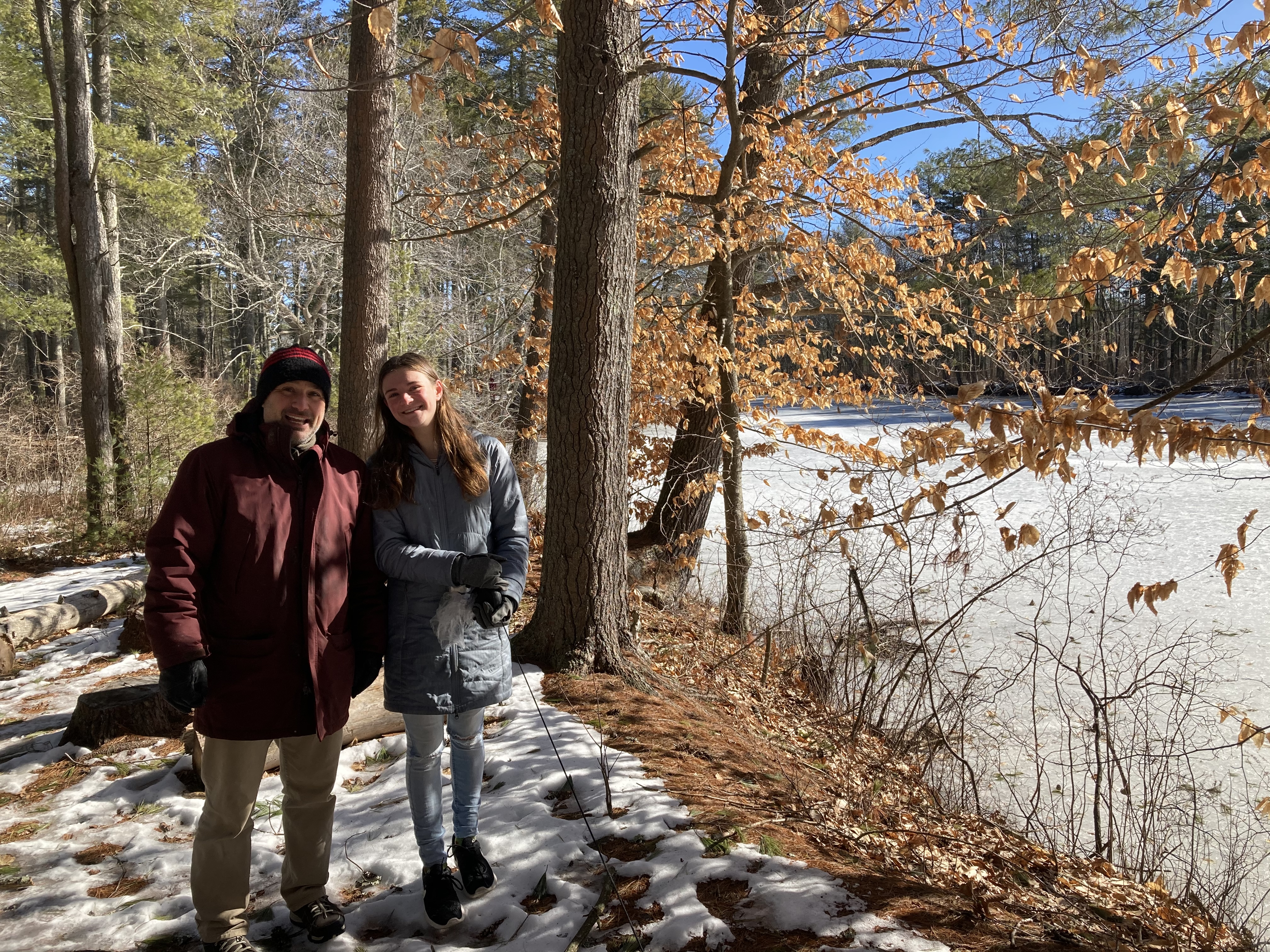
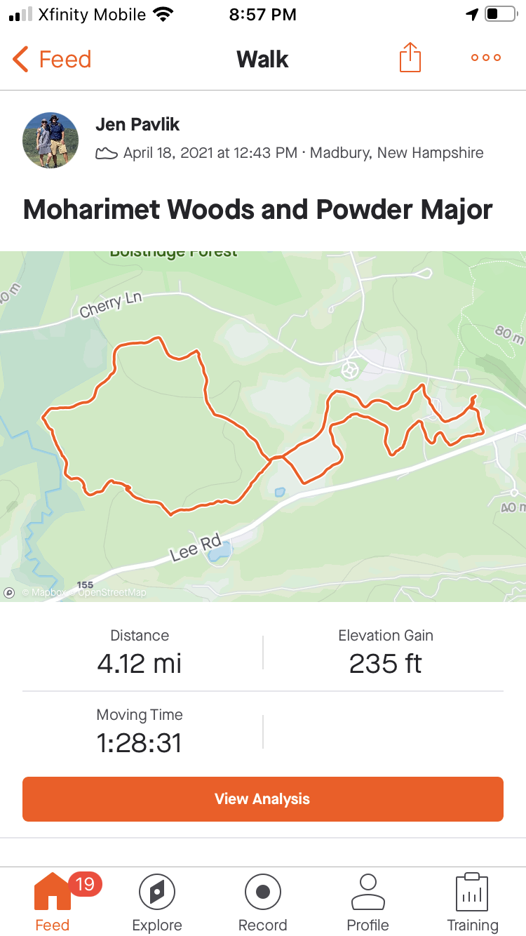
It’s part 2 of our quest to walk every Durham/UNH trail in 2021! You can read part 1 here.
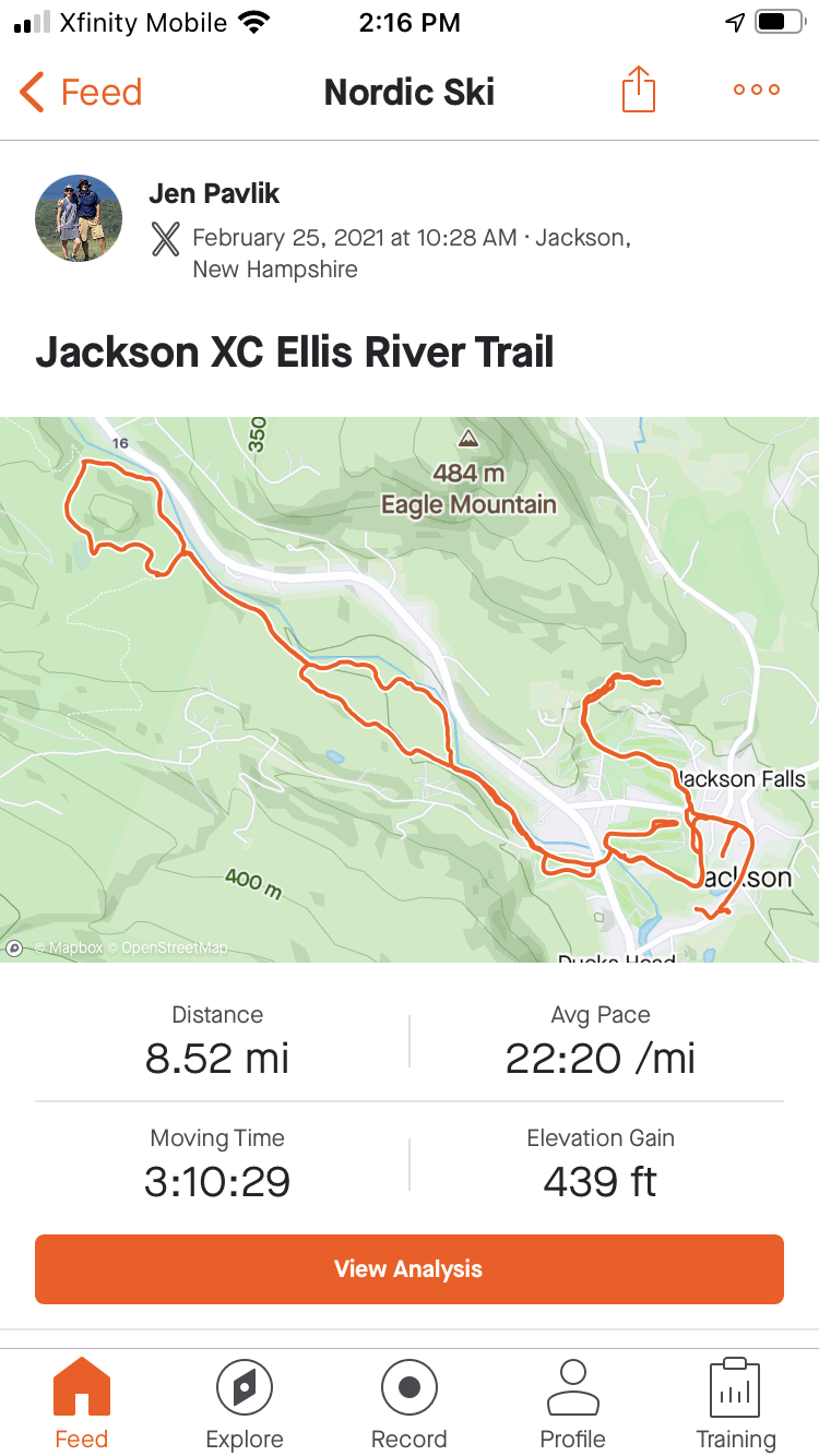
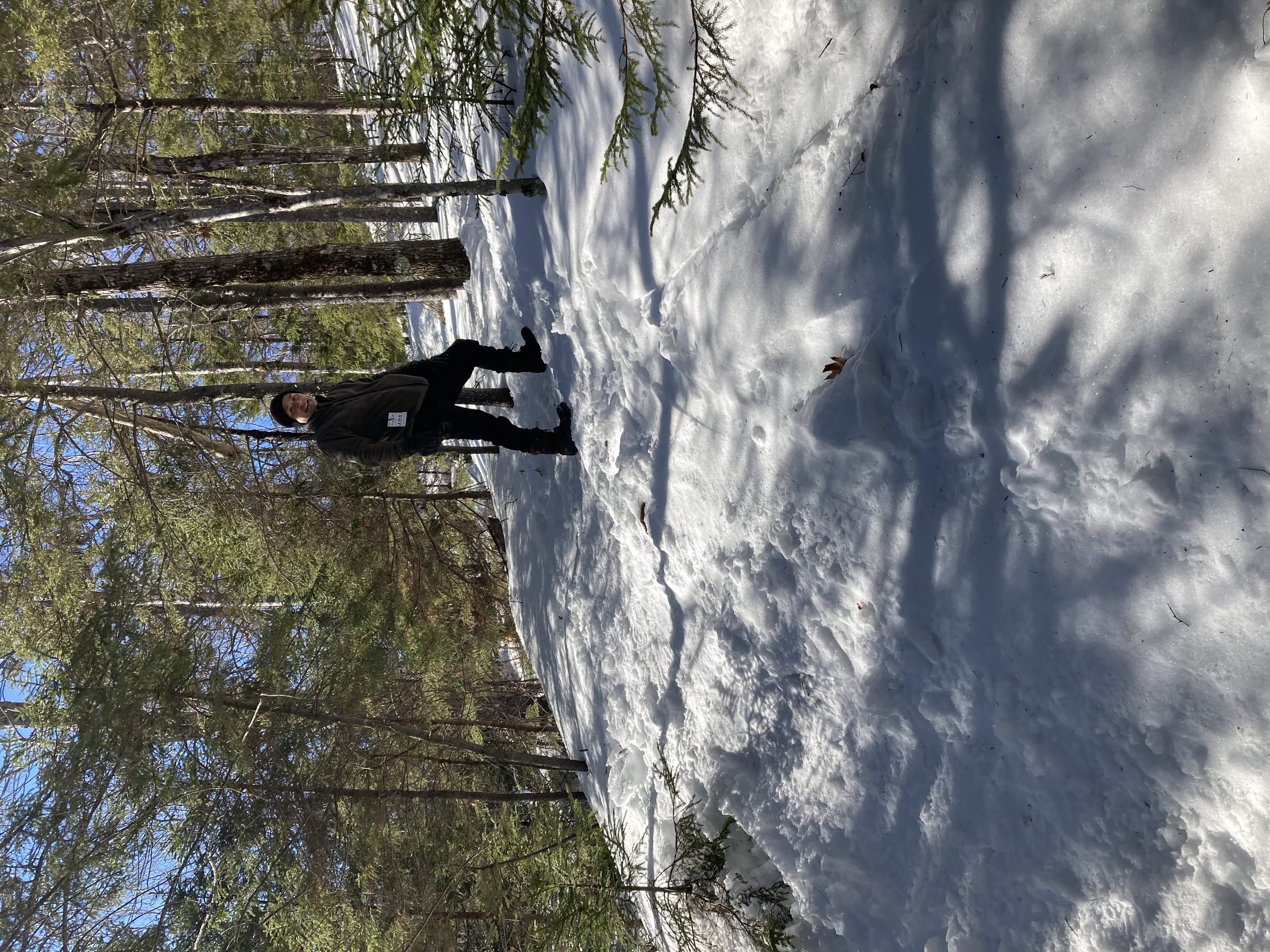
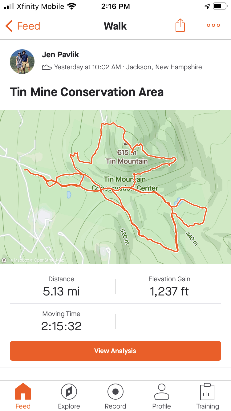
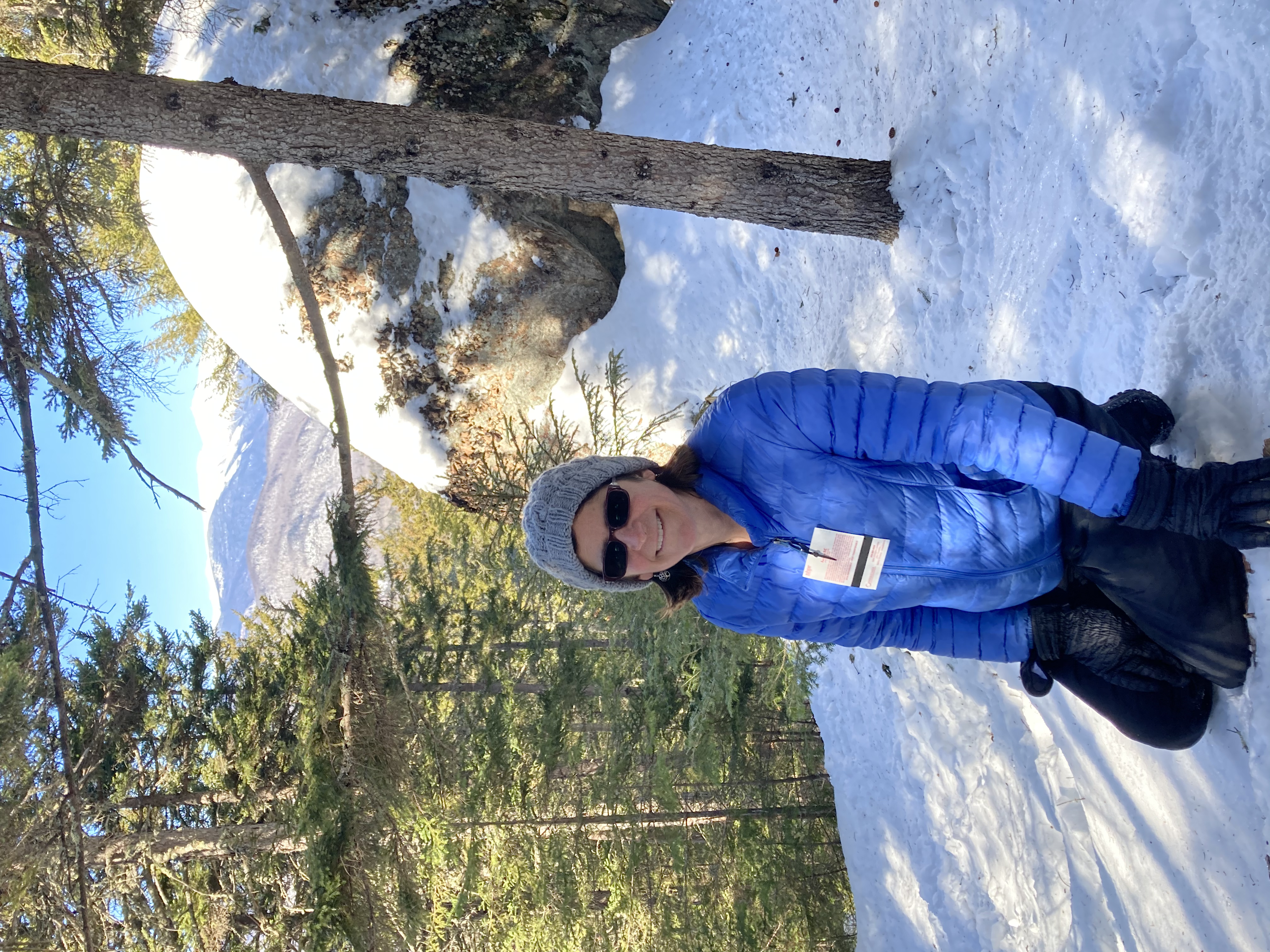
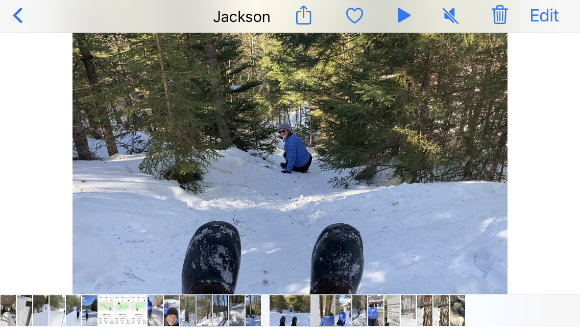
(We also headed a bit further afield this month; if you are interested in hearing about our exploration of the Trails of Jackson, NH, check this out.)
As usual, Jen and Bob collaborated on this post, so figuring out who the narrator is at any given time is an exercise left to the reader.
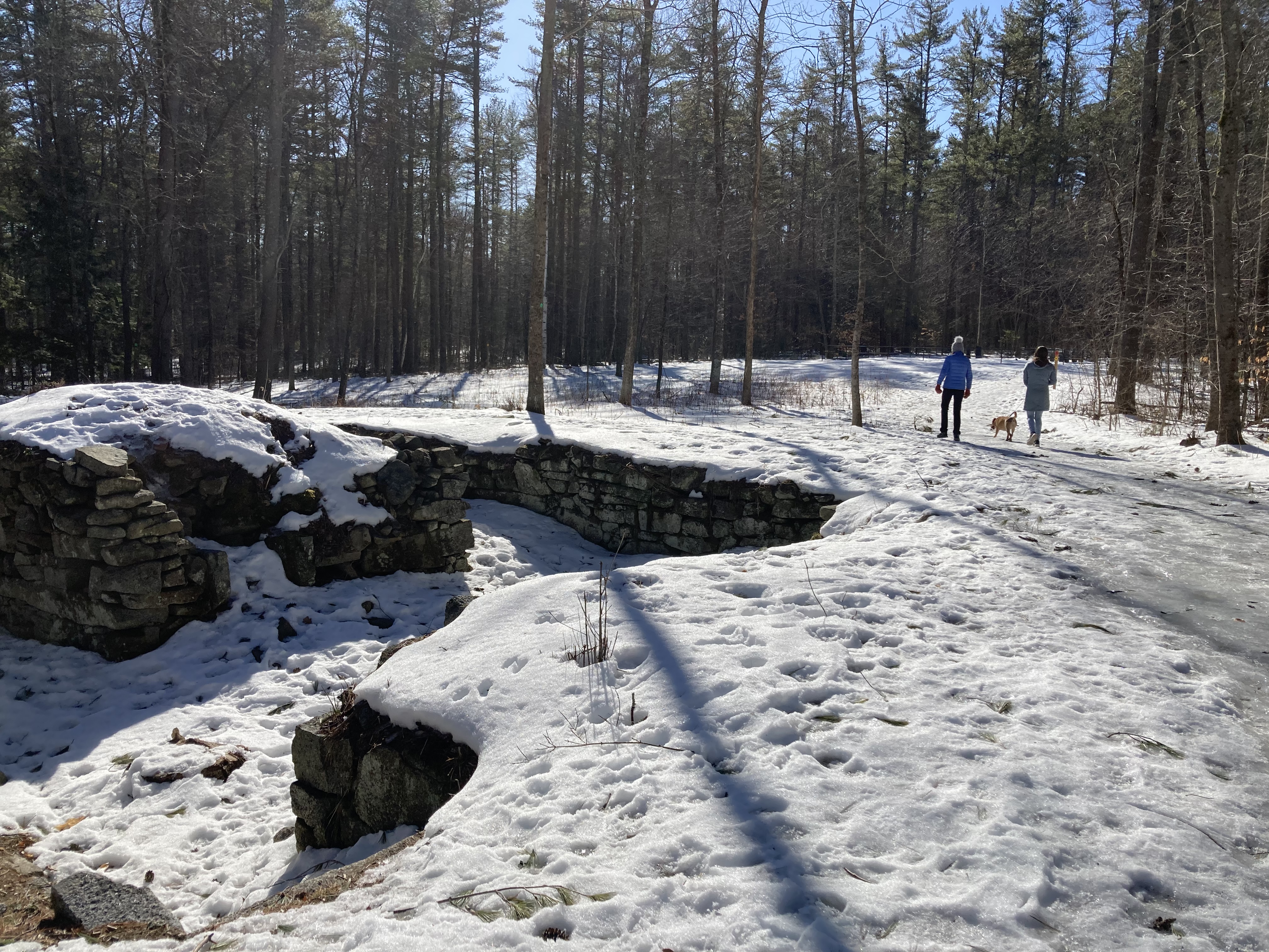
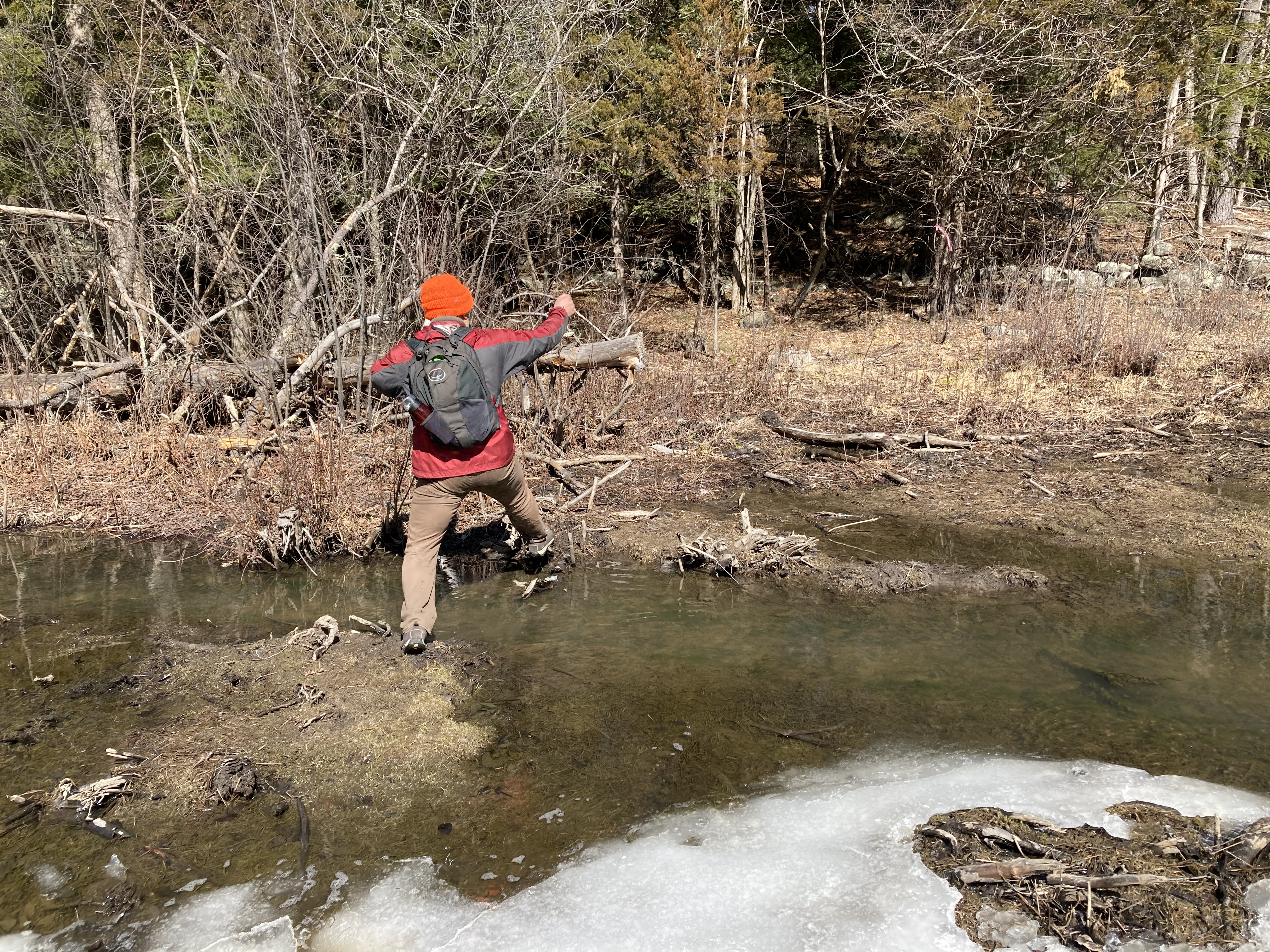
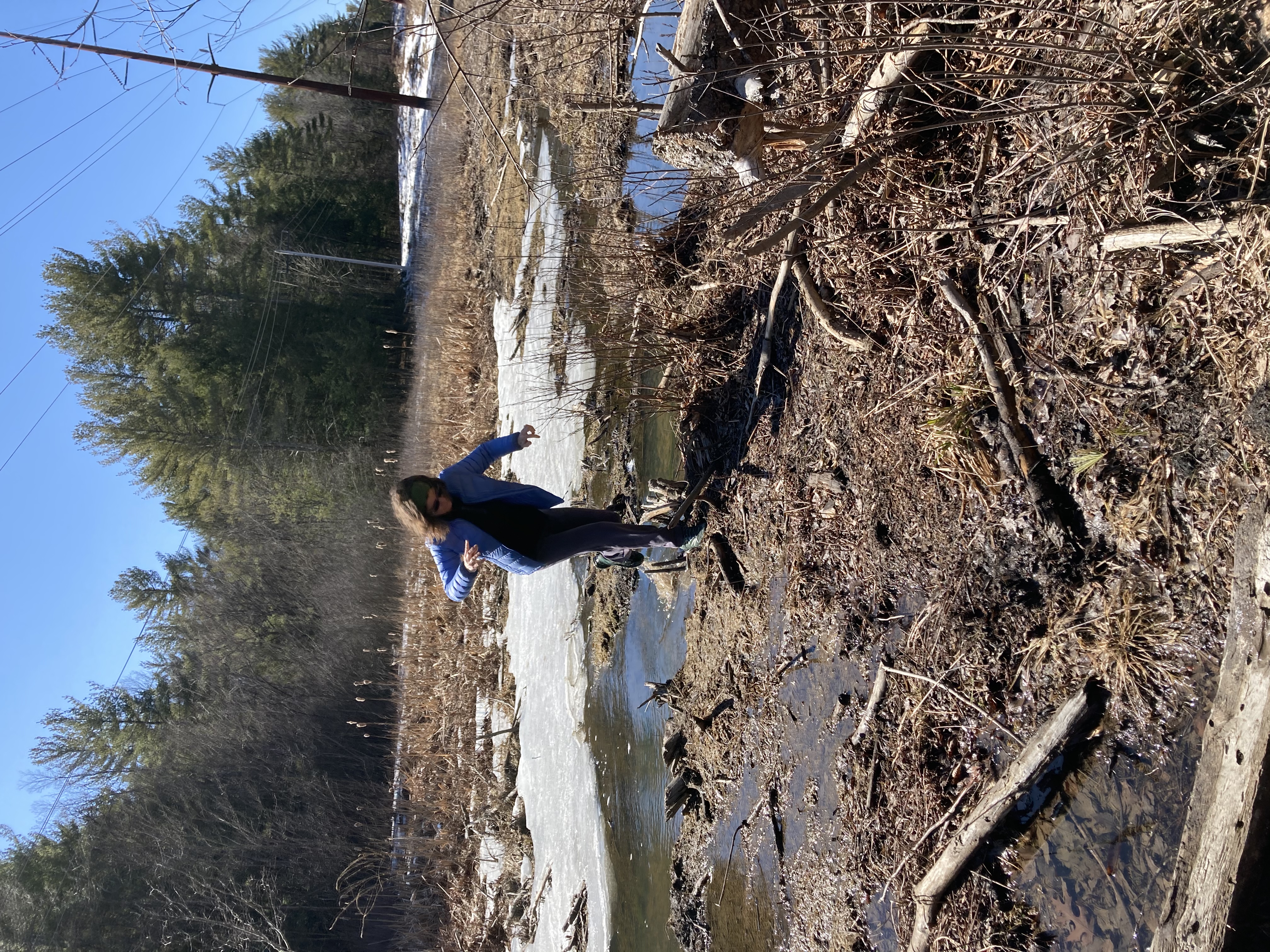
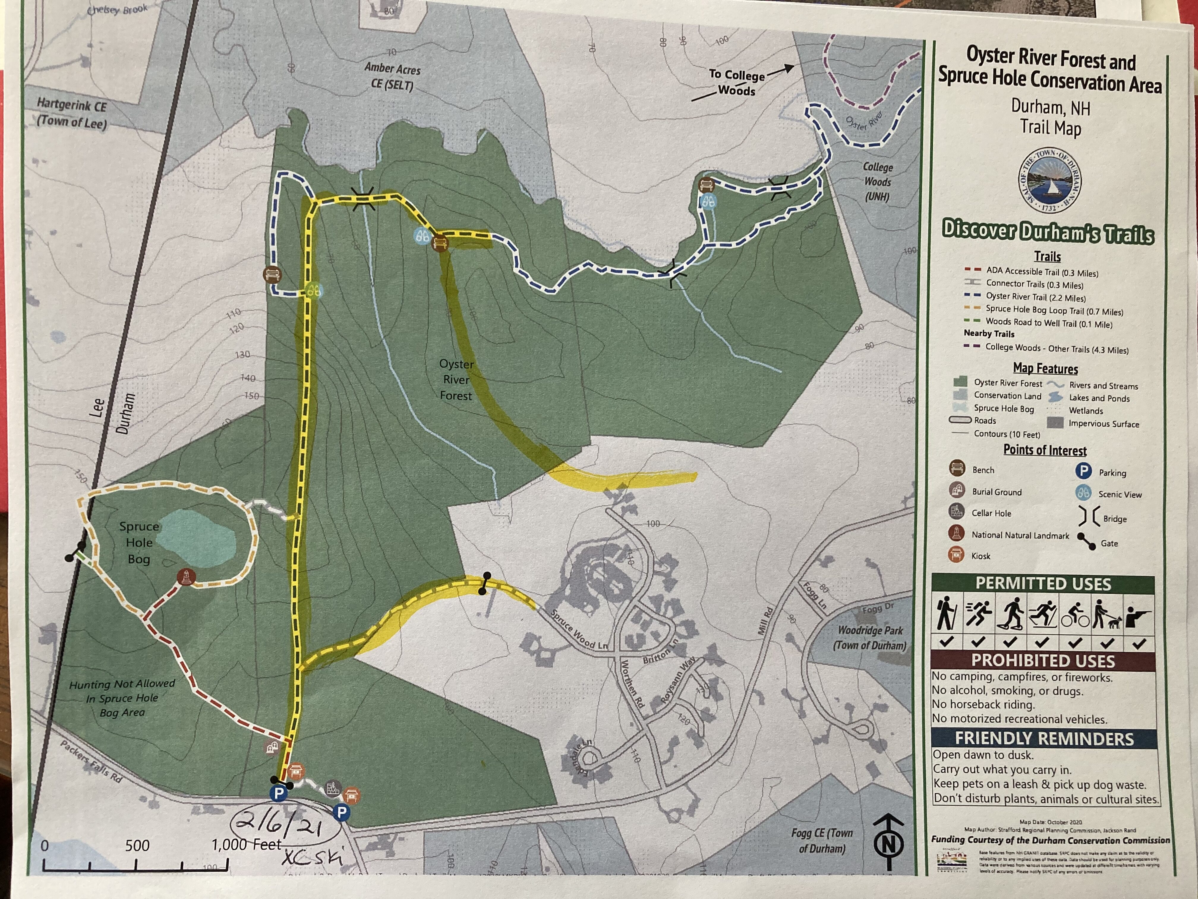
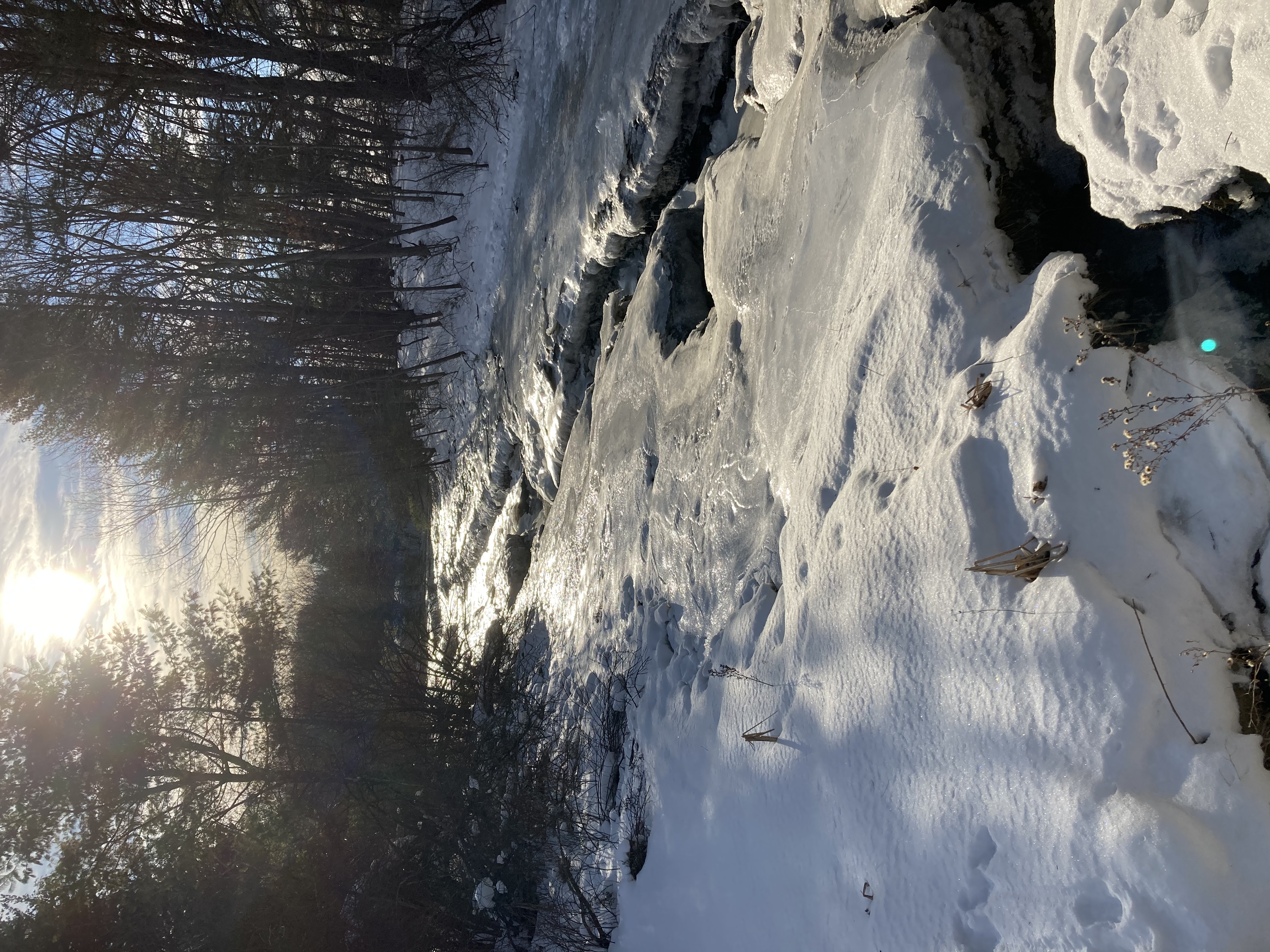
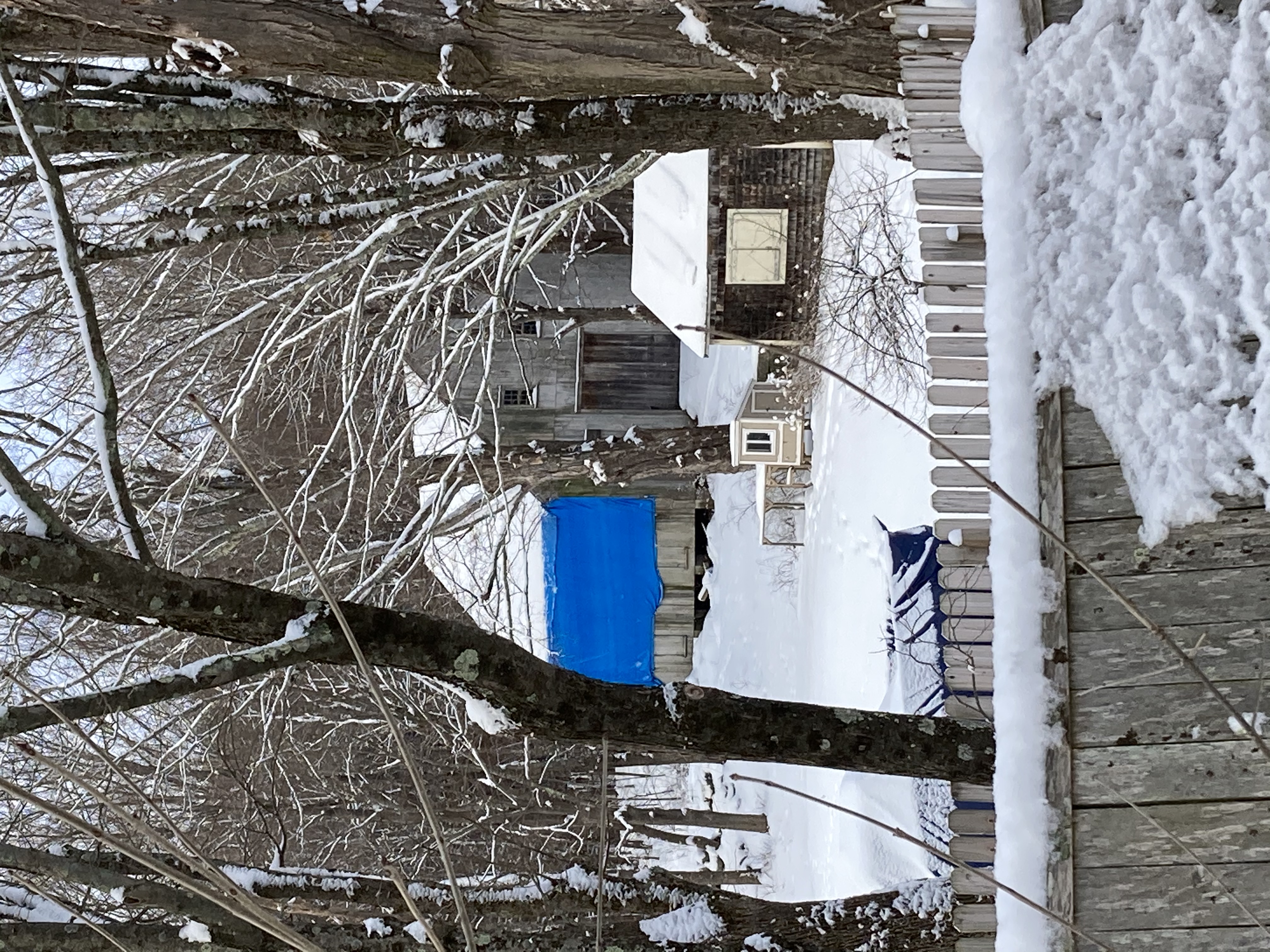
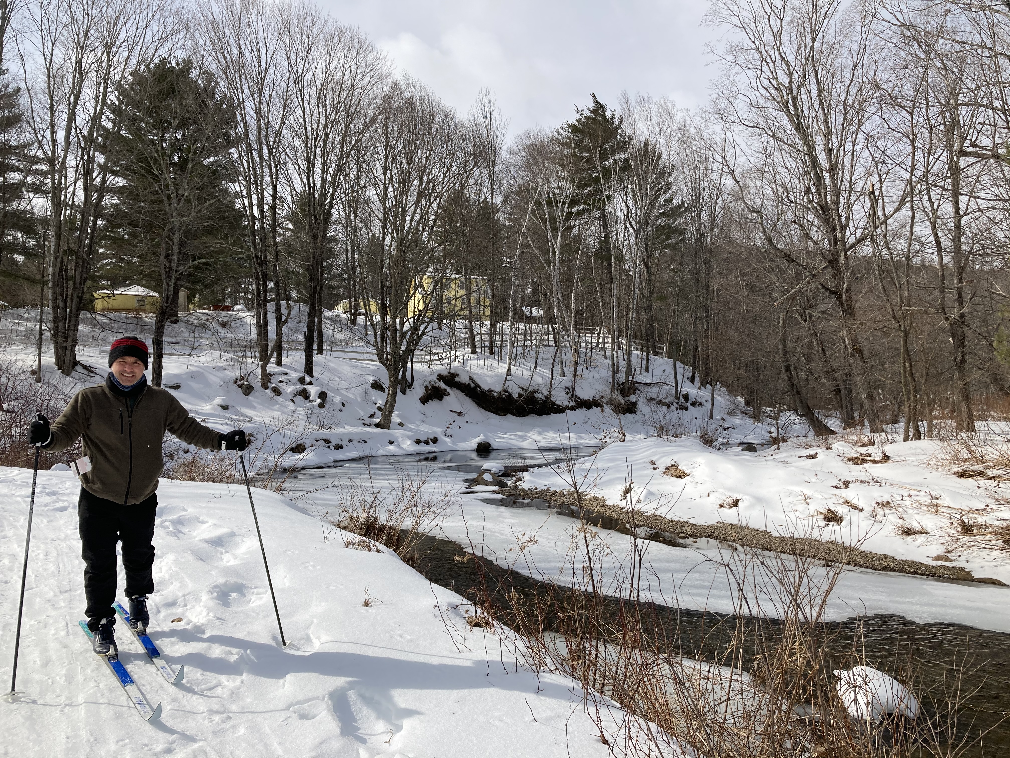
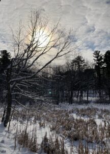
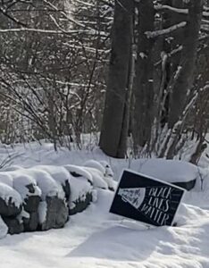
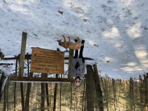
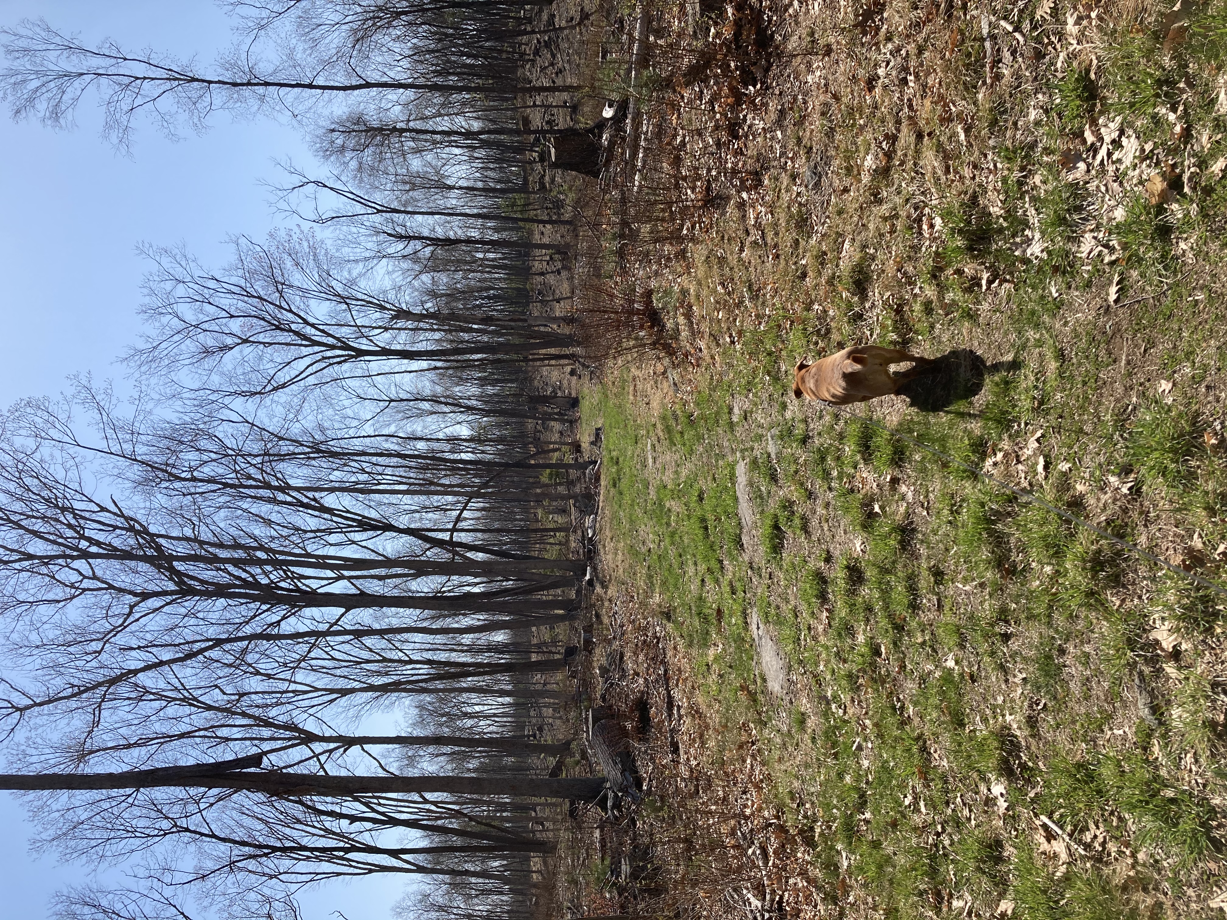
Spruce Hole Bog – 2/6/2021
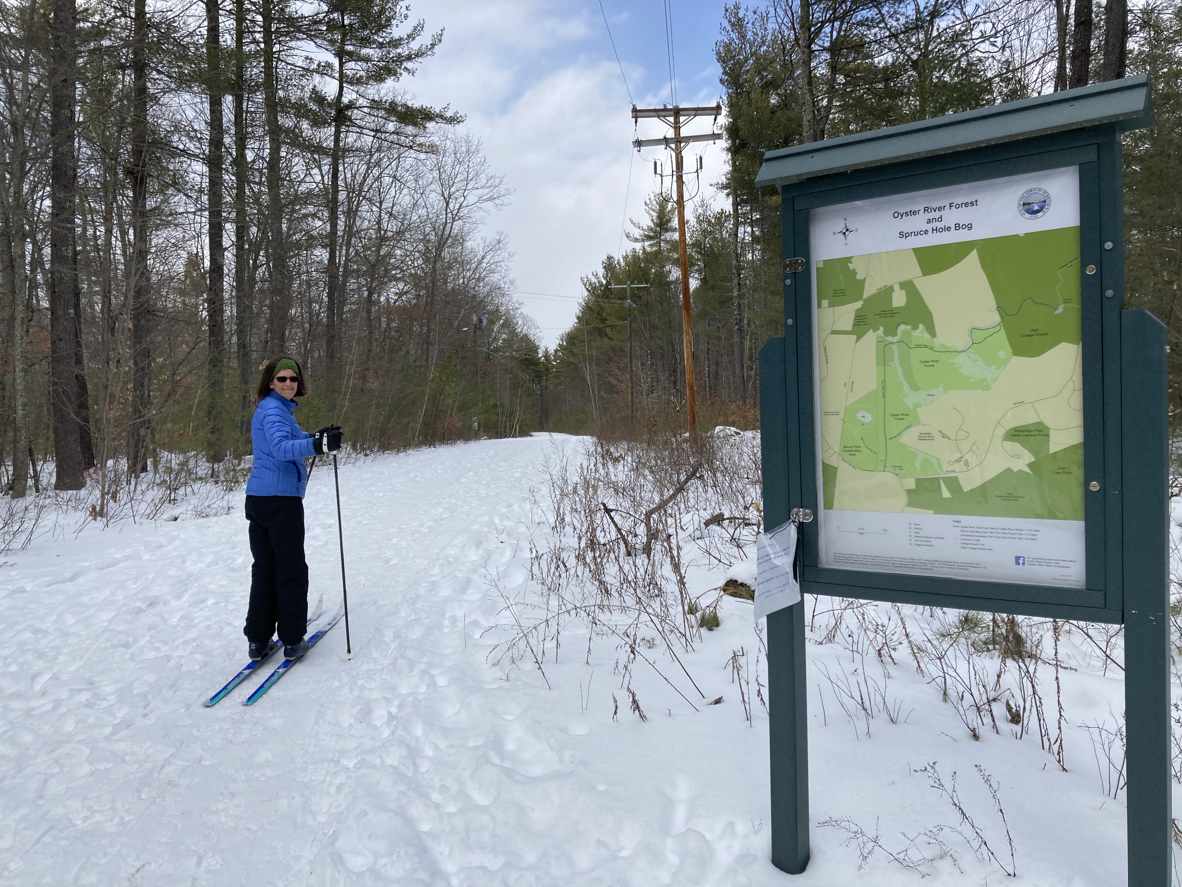
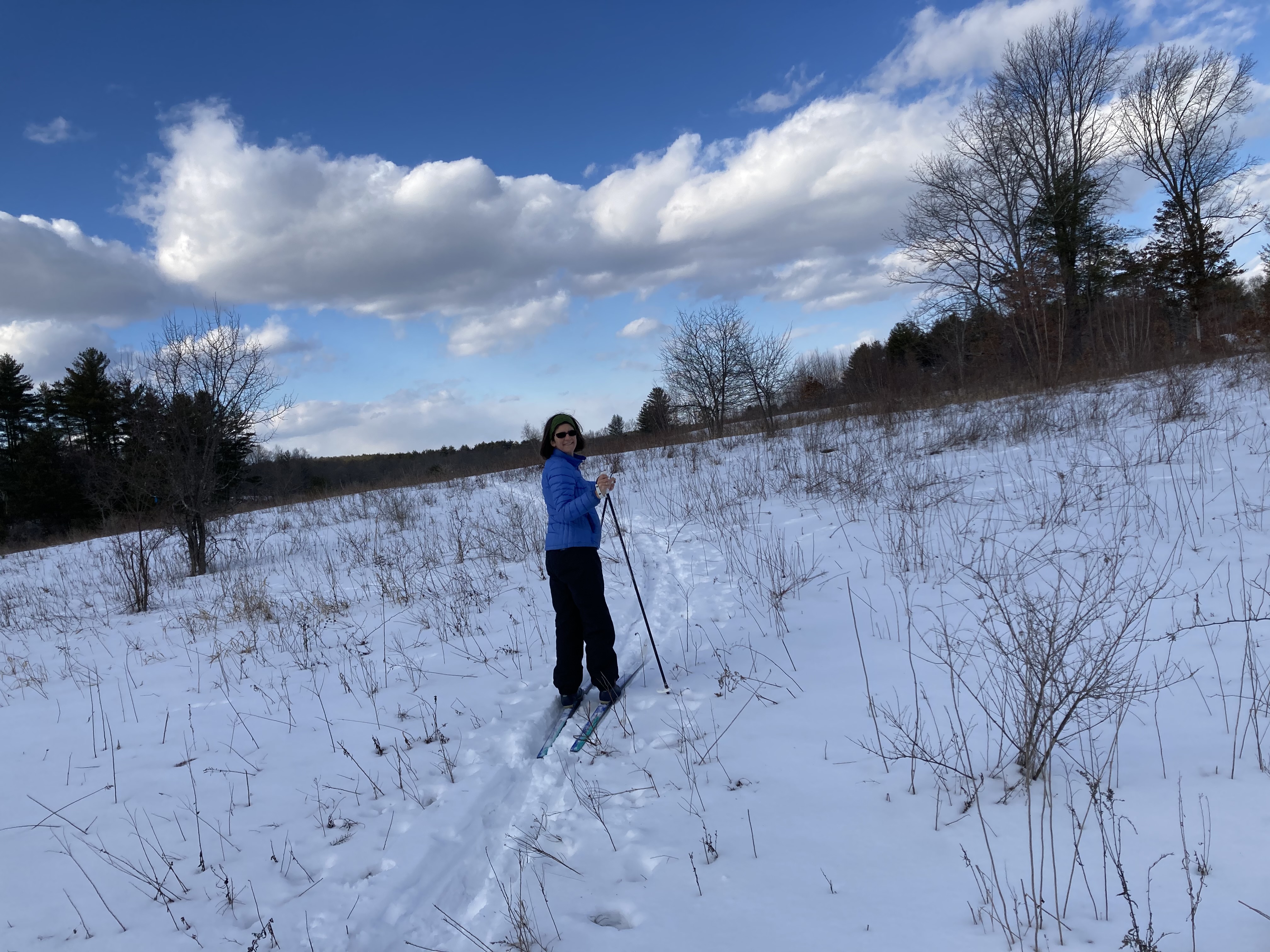
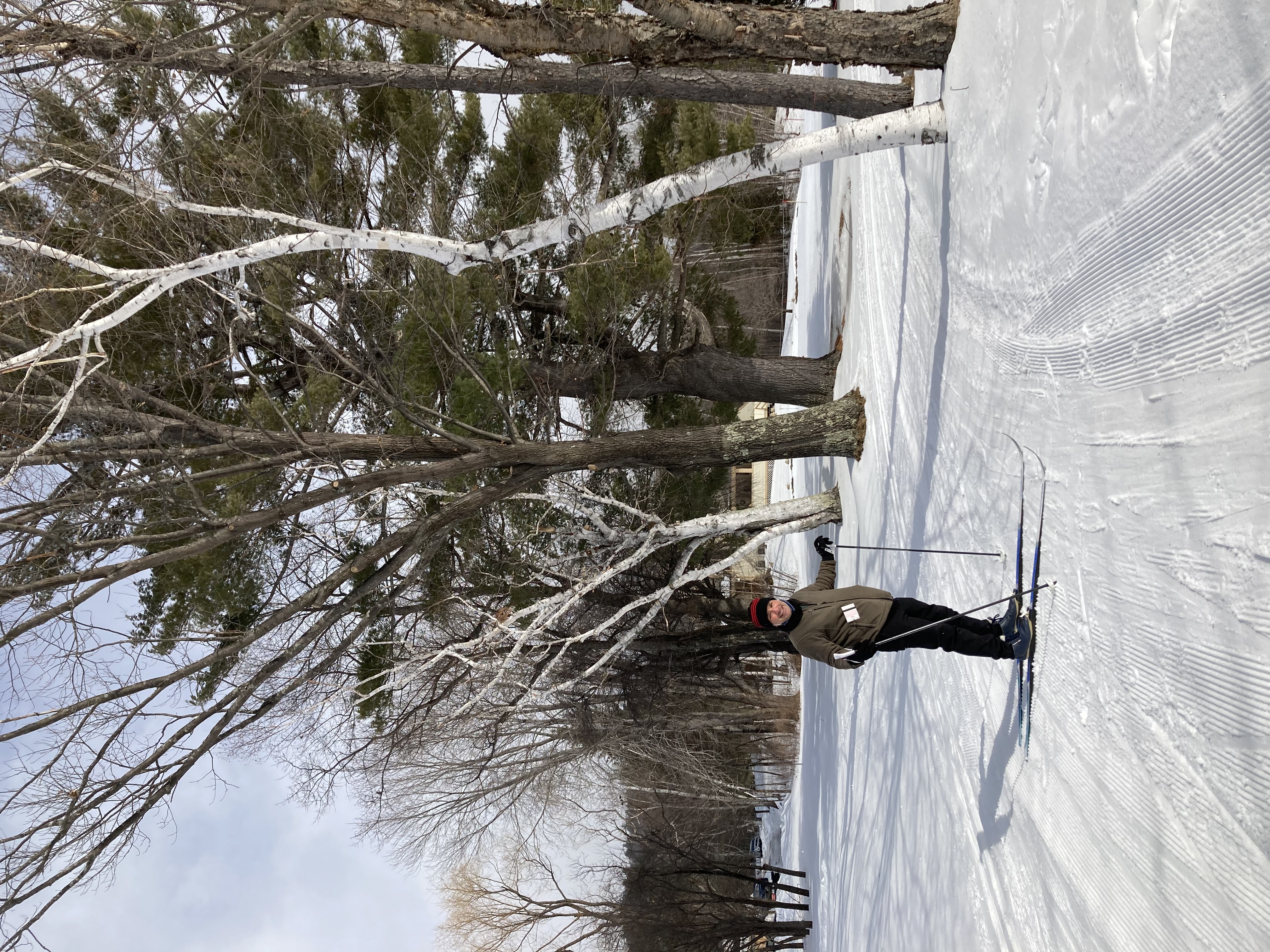
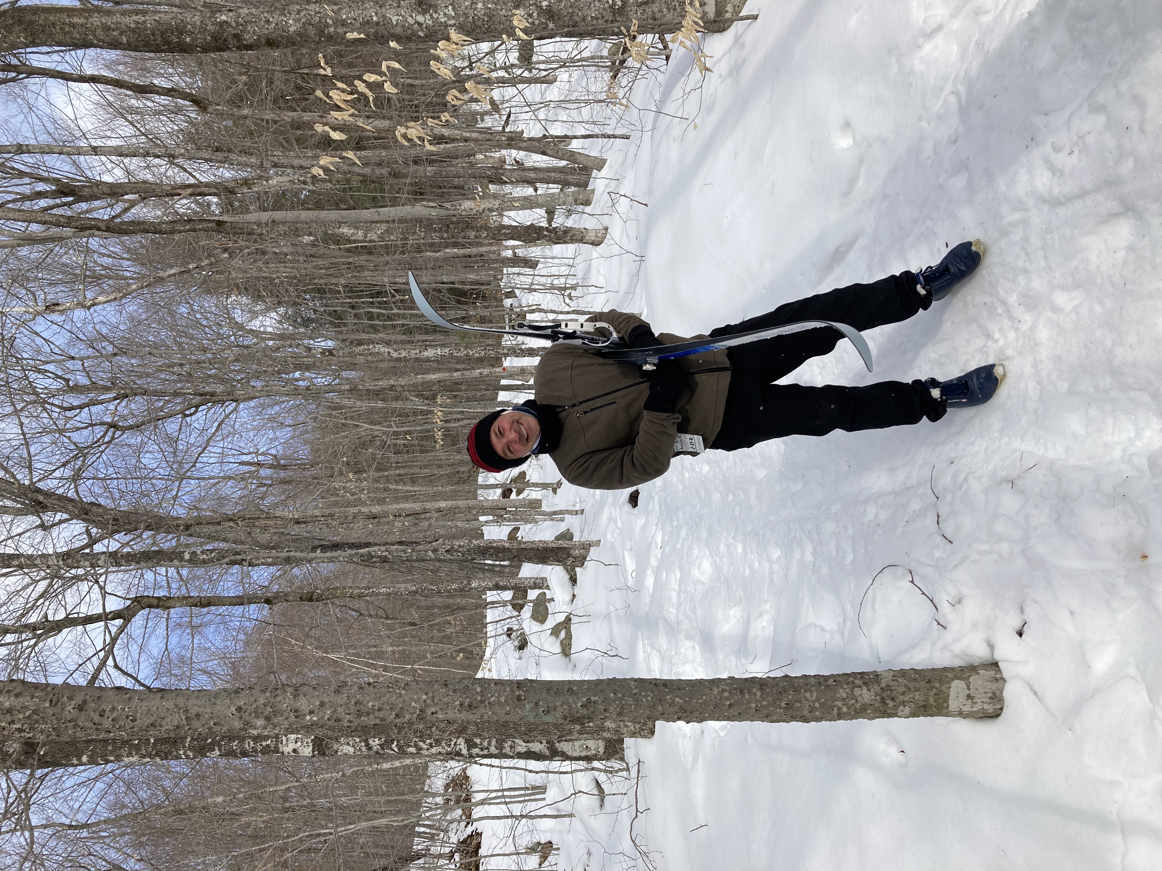
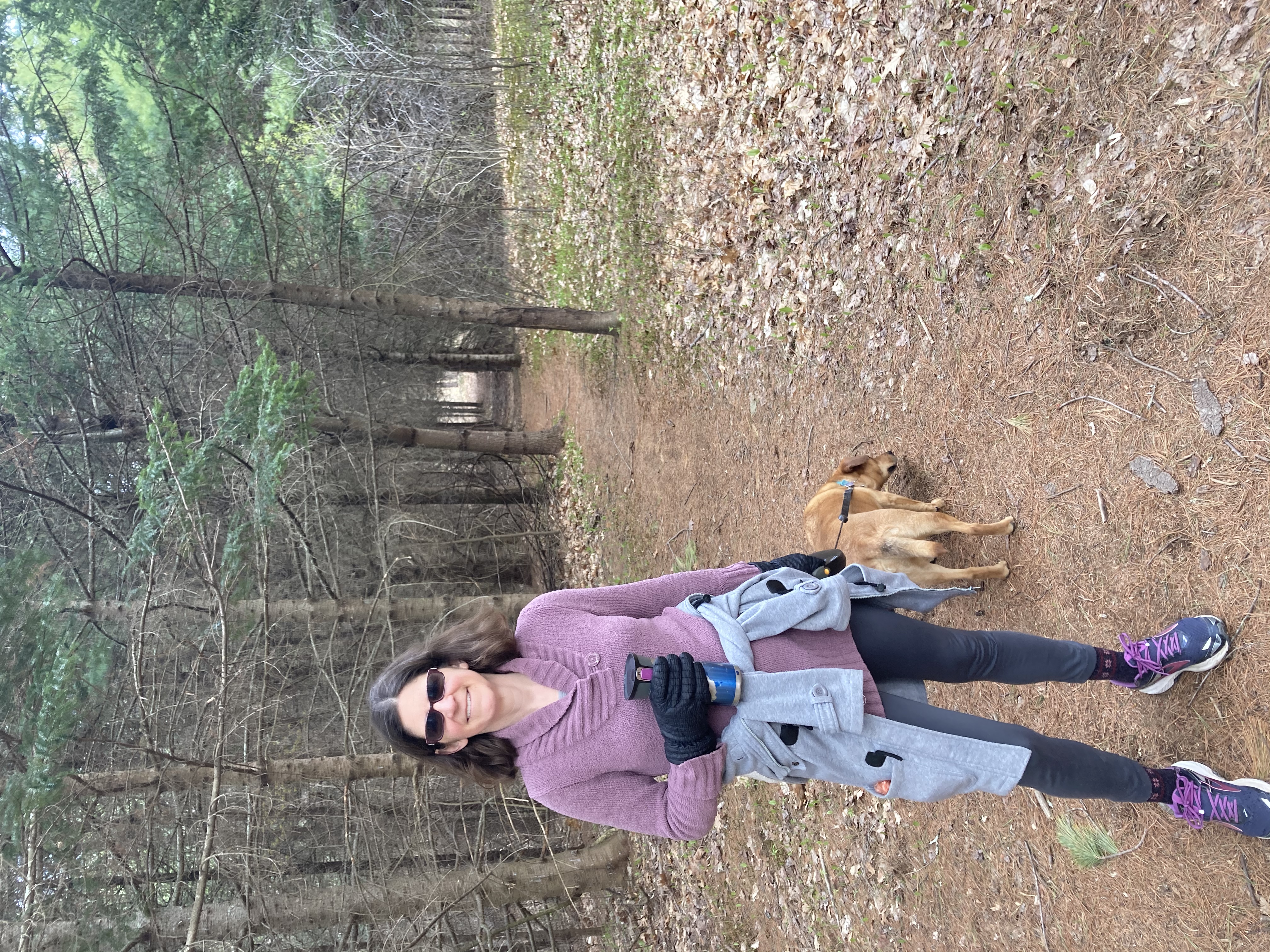
 After some fresh snowfall this week, today we traded in our walking boots for our cross-country skis. Unfortunately this meant Daisy couldn’t accompany us, but she seemed to consider staying home and lying by the fire to be a fair substitute.

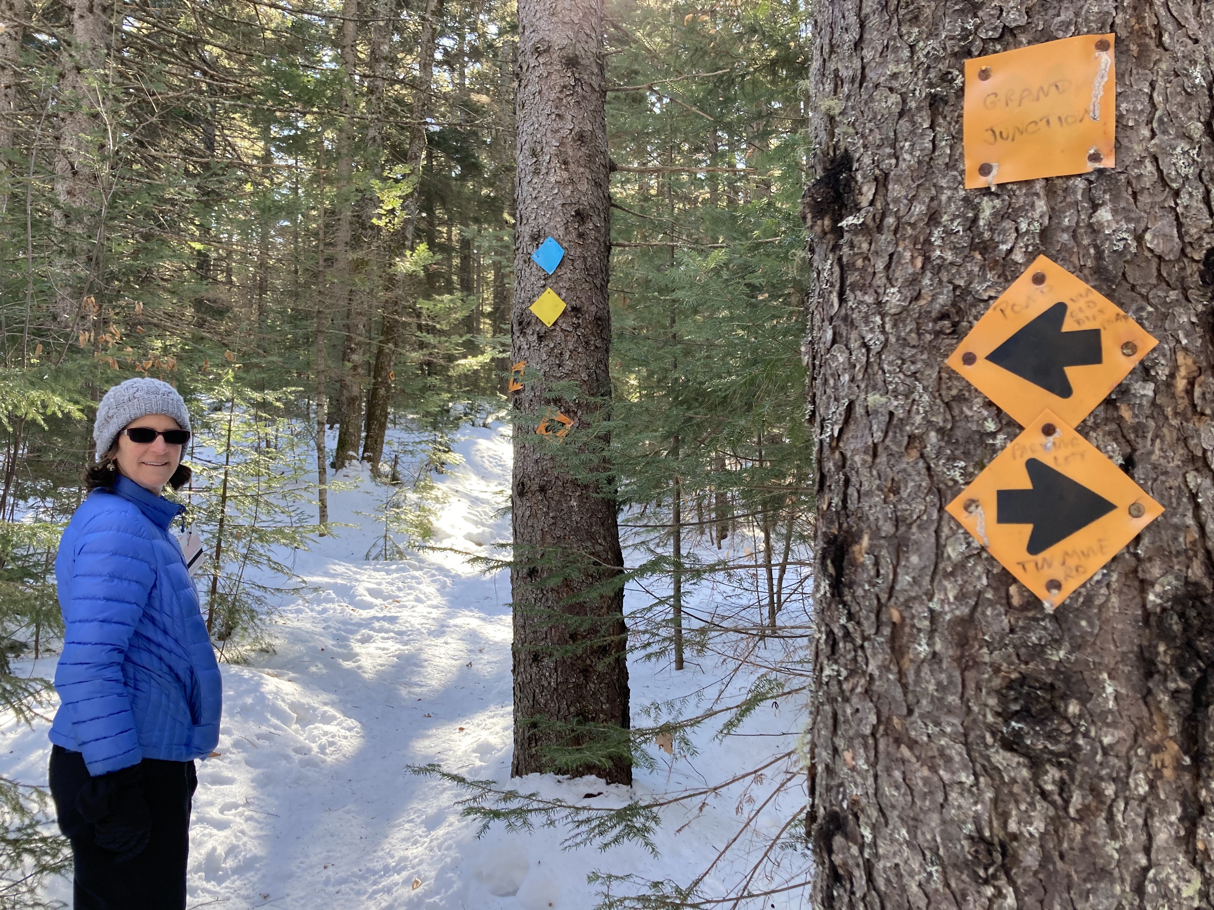
No map, no problem.
Now that we have our Strava app, we’ve gotten a little nonchalant about consulting maps and having a plan as to where we’re going. I neglected to bring a copy of the map, and in fact didn’t even glance at it before heading out. (This later proved to be a bit of a mistake. Unlike our last walk, Strava was sadly unaware of the location of the trails, so while we could see where we were as a dot on the map, there was no way to see how to actually get back to where we wanted to be.)
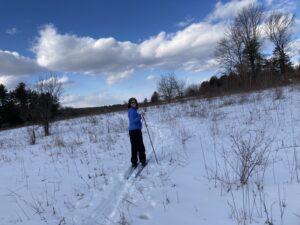
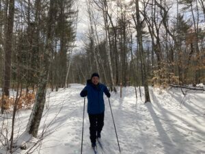 This place is great for skiing, though. We initially found wide trails with actual Nordic grooves along the sides (either actually groomed in or possibly skied repeatedly by skiers more talented than us, who can keep their feet straight and evenly spaced). We passed through woods, fields, and marshland, and even made it down a not-very-steep hill without falling over.
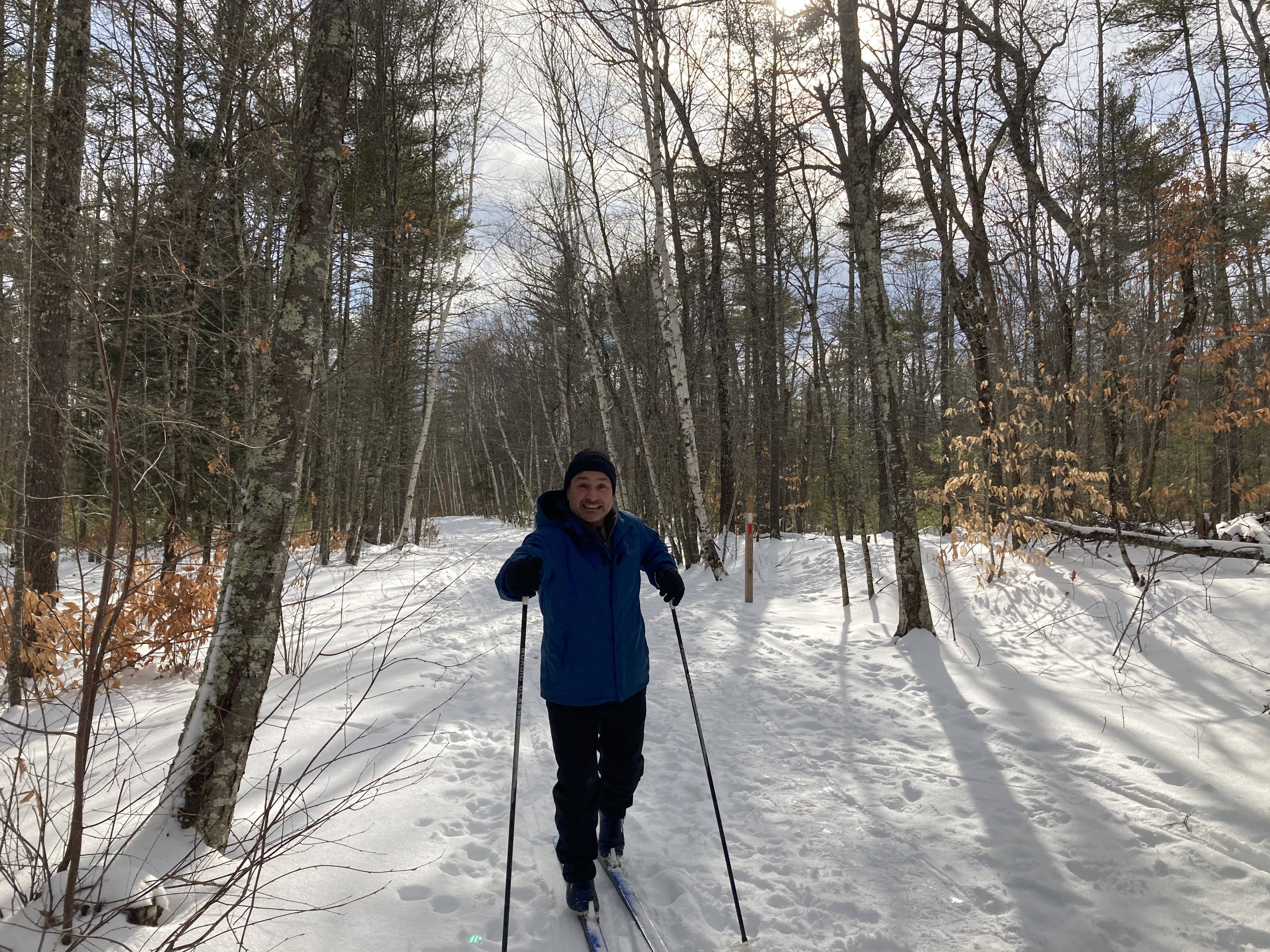
Eventually we had a fork in the road and decided to stay out in the open marshland rather than heading into the dark forest. (The dark forest started with a substantial hill. While many XC skiers may be deterred by a steep uphill climb, Bob and I are usually more terrified thinking about getting back down.) The trail we took proved to be one of those paths that start out looking very much like a trail, and then gradually get narrower and more overgrown, until finally you’re skiing over underbrush and come to the conclusion that something has gone wrong somewhere. Despite the ski tracks continuing on ahead of us, we decided to backtrack and try the woods instead.

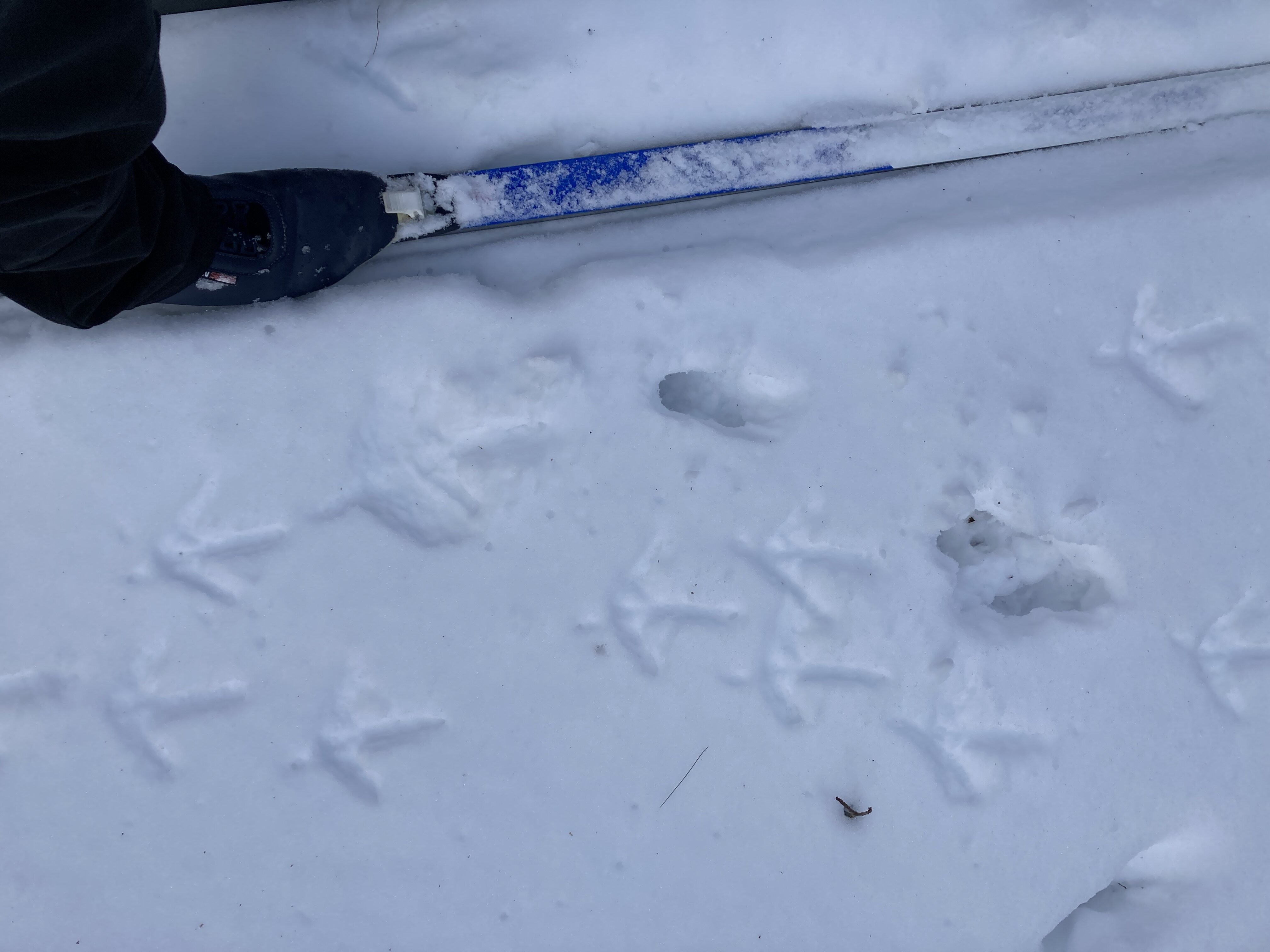
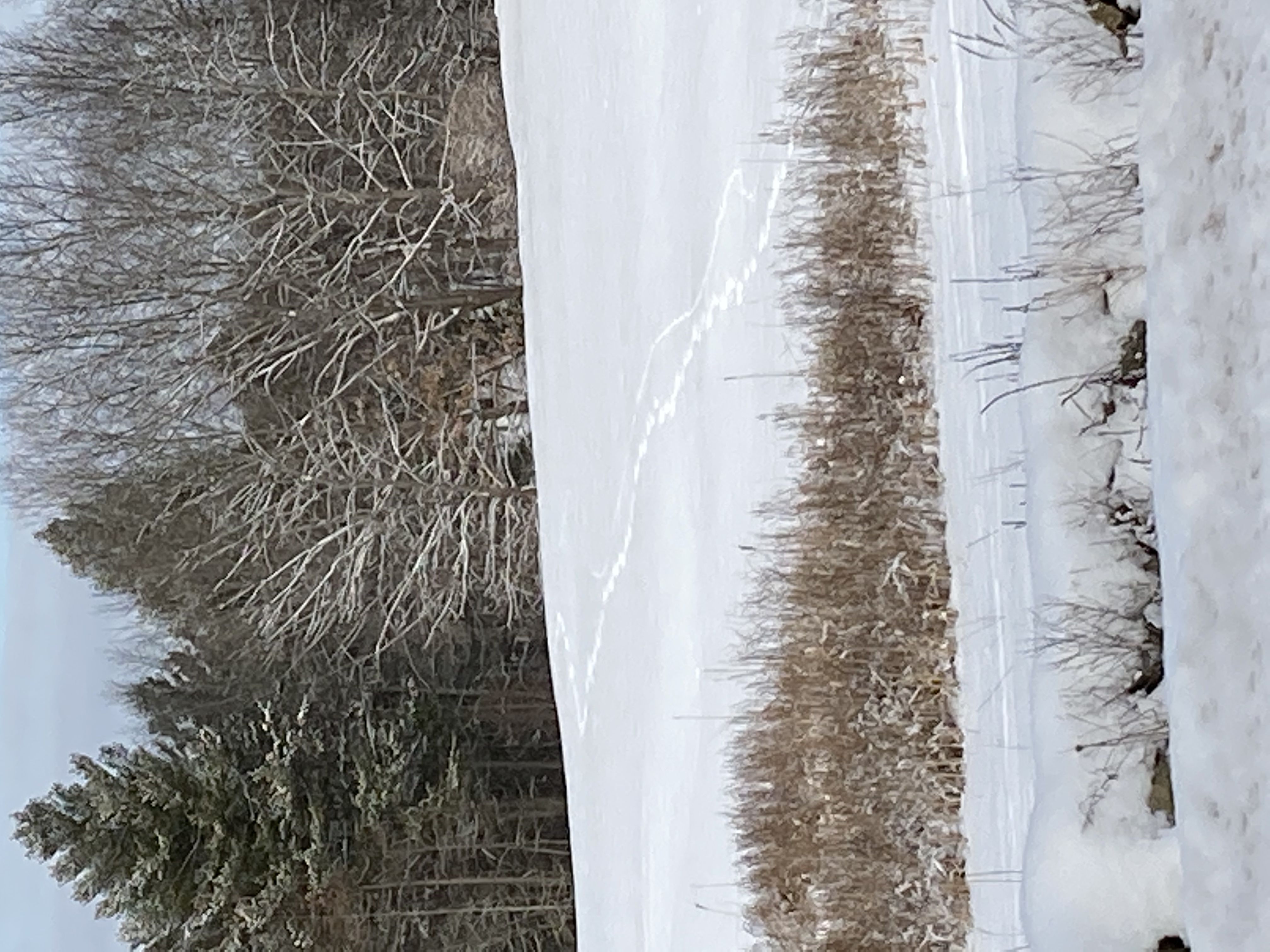
Maybe the turkey tracks will lead us out of the woods and back to civilization.
Alas, this did not last very long either. The hill proved as difficult to surmount as we’d feared, and we’d no hope of getting back down. We finally decided to consult Strava, and found that we were not, as we’d hoped, heading back in the direction of our starting point. Instead, the trail we’d abandoned seemed like it had been the way to go — it seemed that if we’d continued on a little further in that direction, we’d have come back to the main trail. So, off with the skis to walk back down the hill, and then back off on the possibly-not-a-trail again.
Skiing among the stubble — this might not have been a trail but we skied across it twice.
The trail got more overgrown. We met some people walking the other way and assumed they must have come from SOMEWHERE, so we persevered. We discovered that the yellow part on the map that we’d wondered about actually signified a marsh. Eventually we were following a single set of ski tracks on a seemingly random path through trees and underbrush. At one point we could see the roof of the nearby assisted living facility and thought maybe we could make our way to their parking lot, but were foiled by a thin strip of forest and an impregnable-looking yew hedge. In the end, we had to give up and backtrack yet again.
(By the time we got back to the trail junction , our four total trips up and down the possibly-not-a-trail had made it look even more trail-like. We passed some walkers and, looking behind us, saw them veer off in that direction. A few minutes later we could see them across the field, scratching their heads and consulting their maps.)
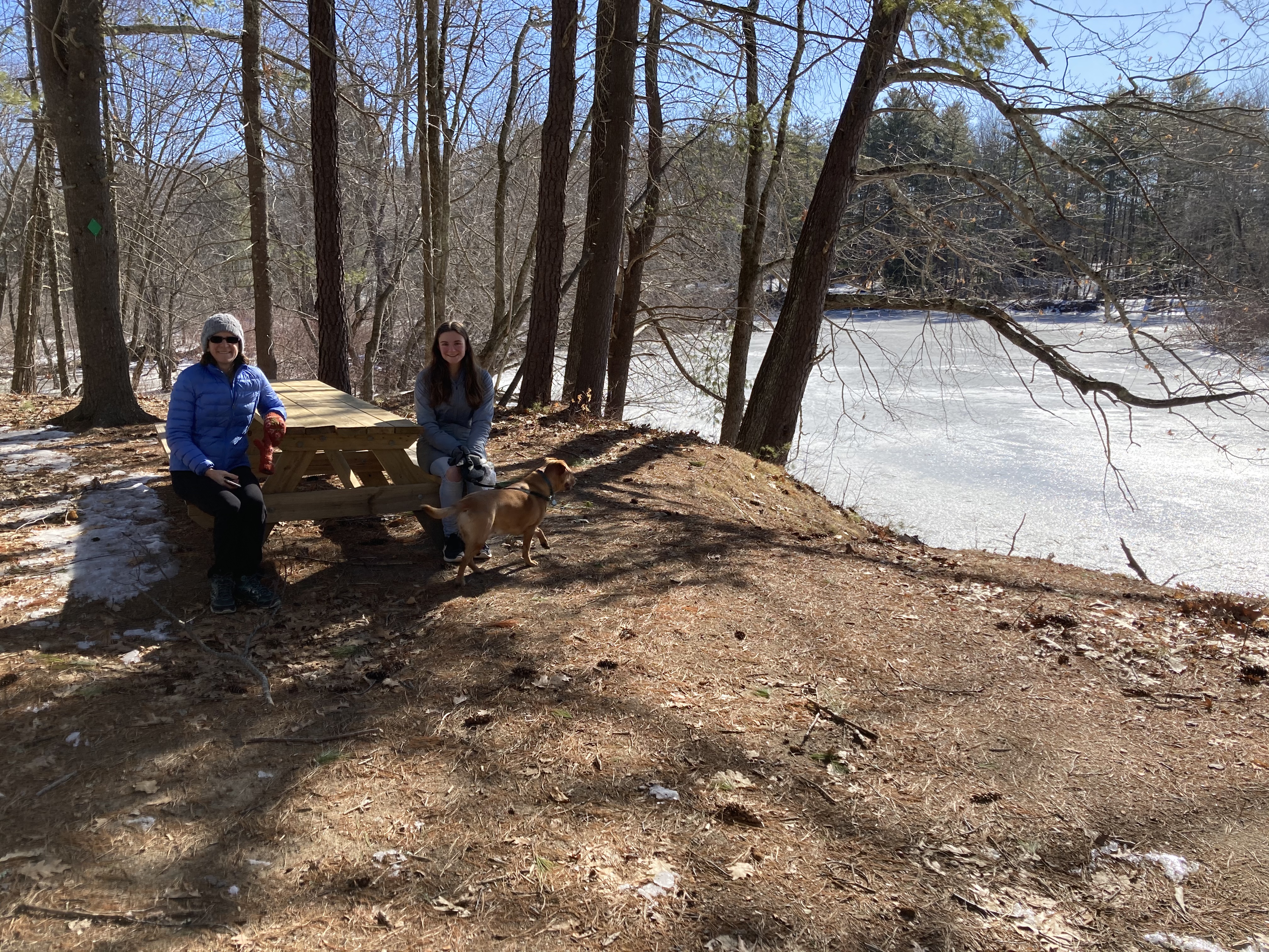
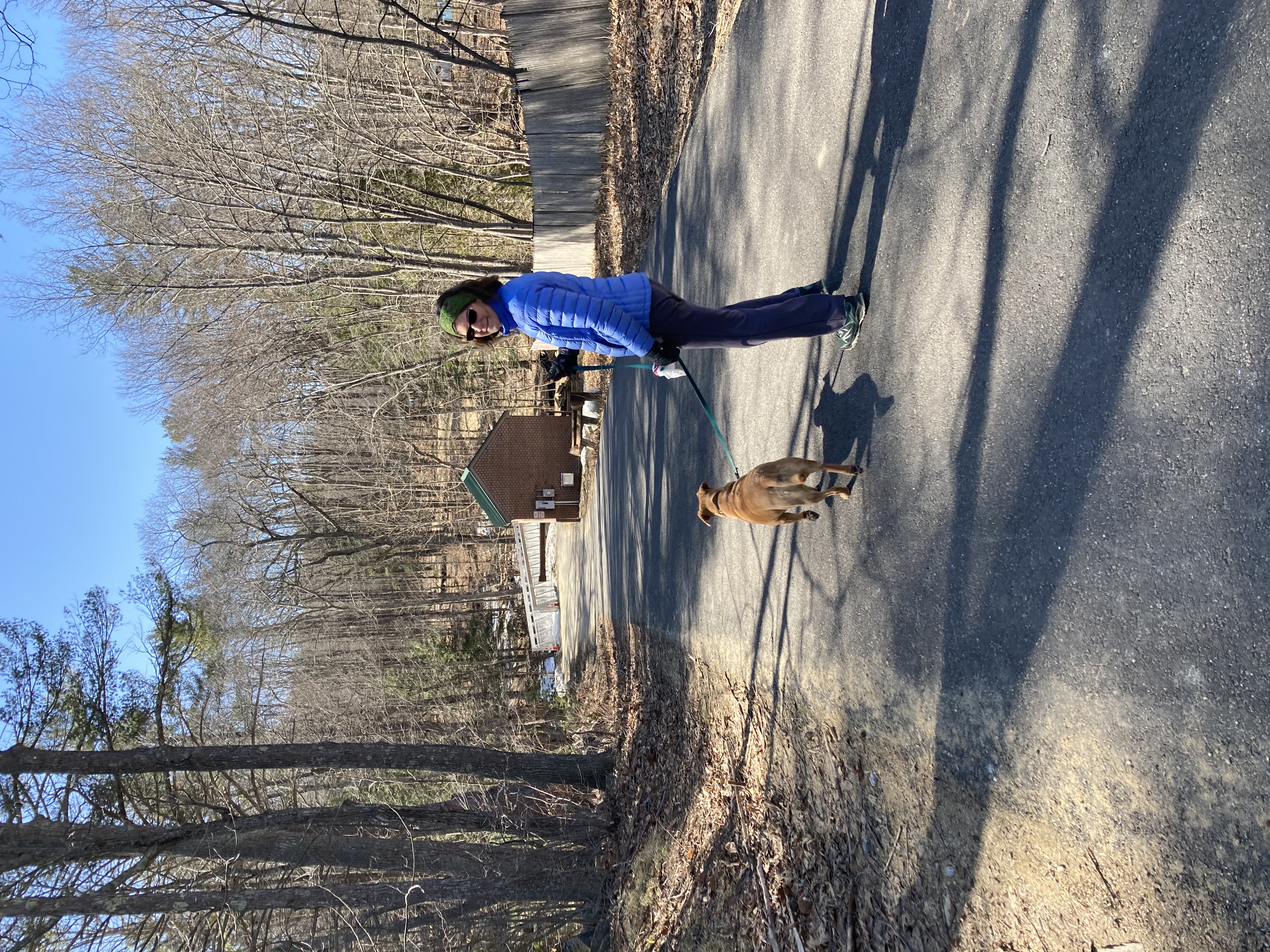
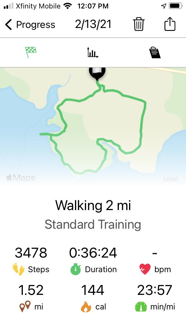
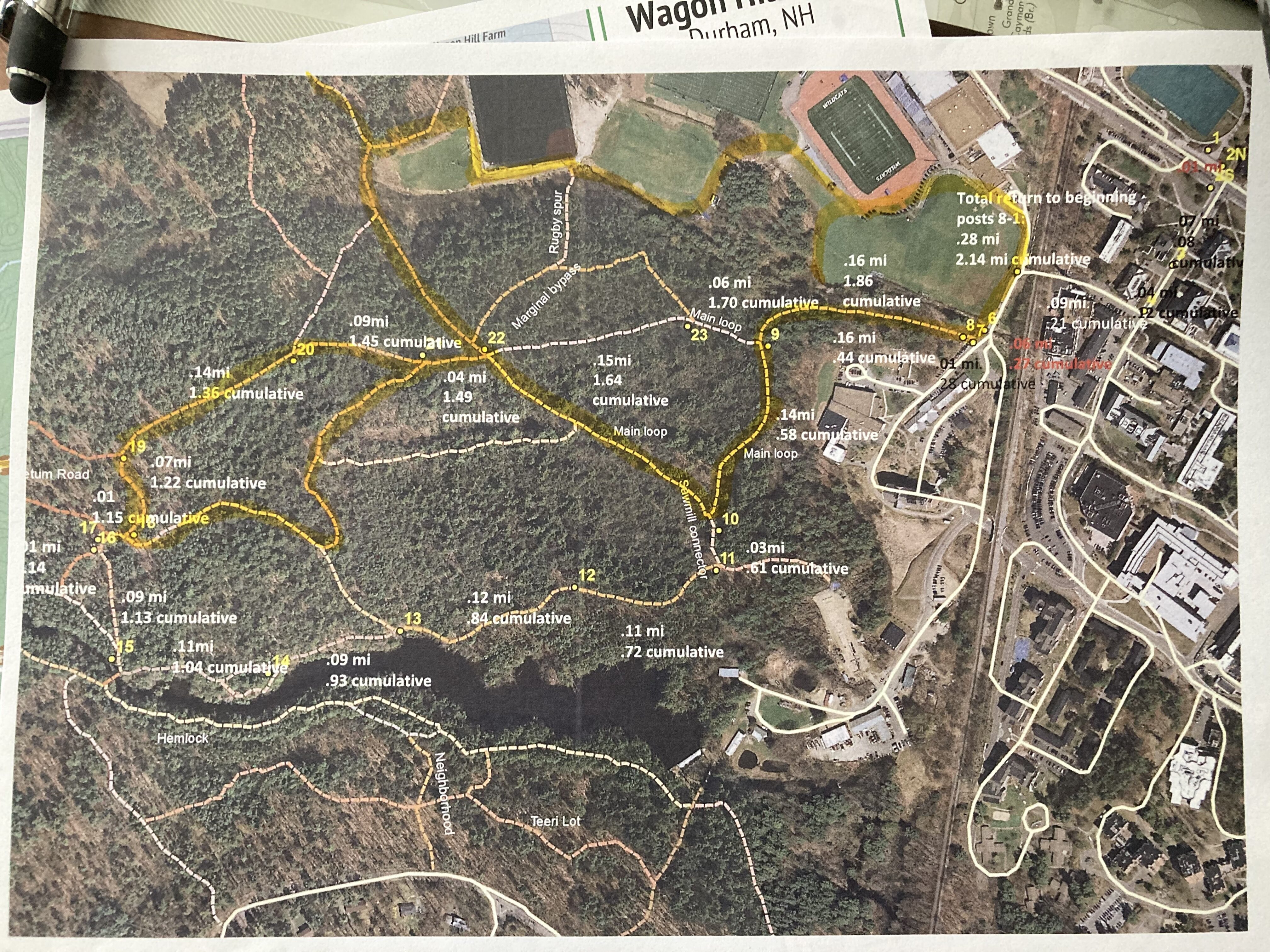
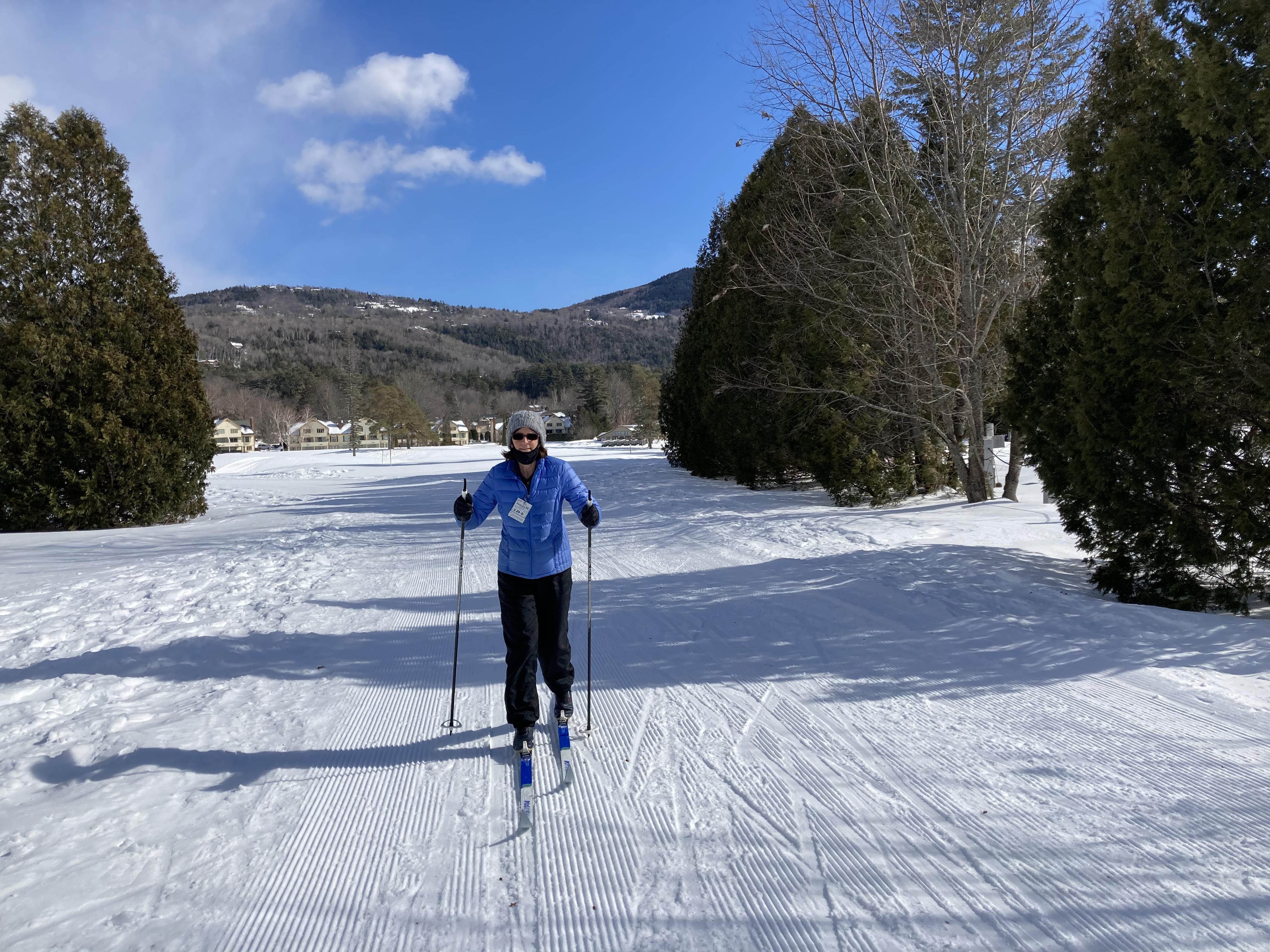
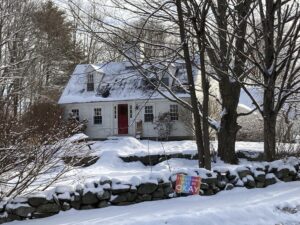
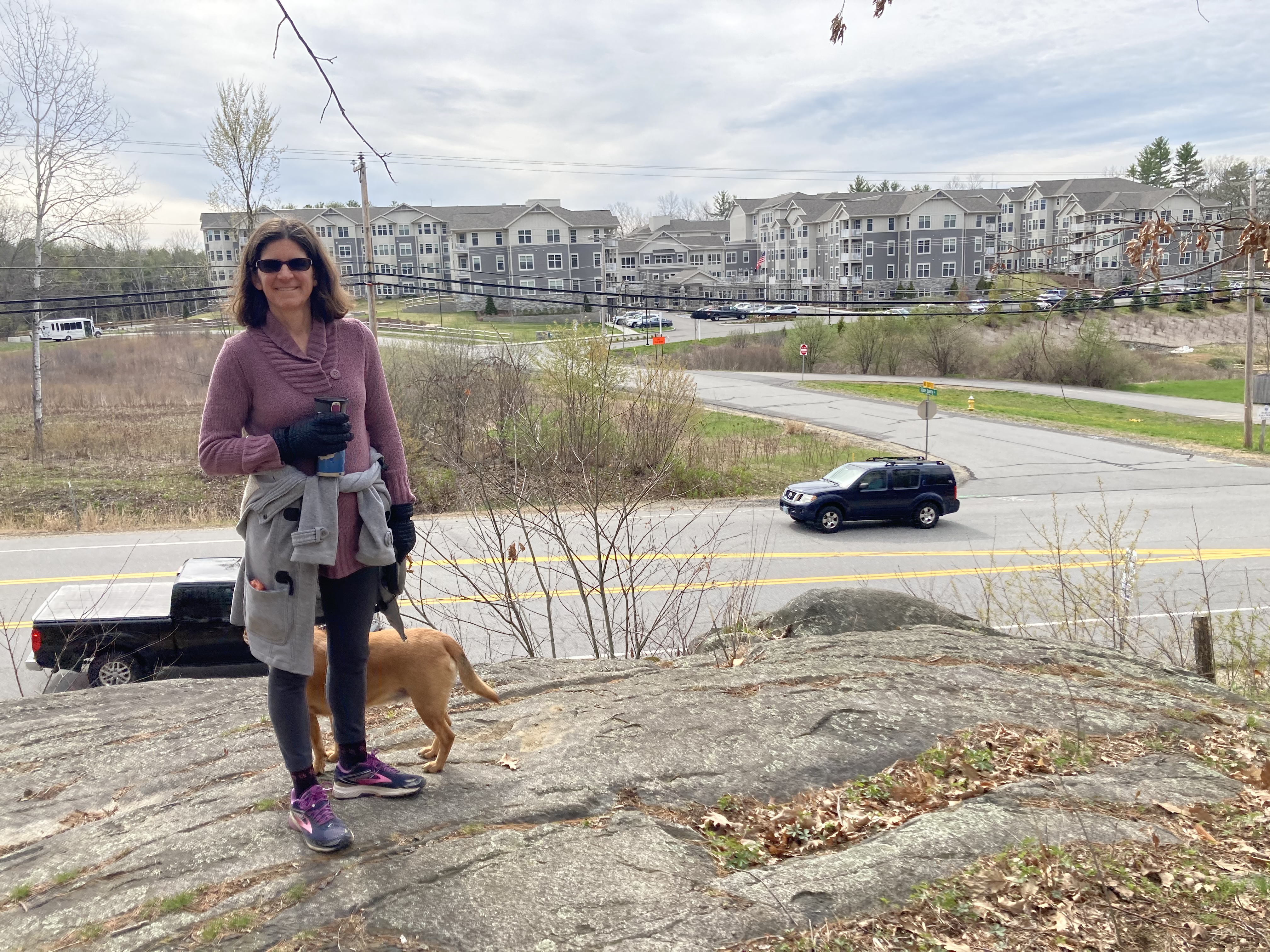
Wagon Hill Farm – 2/13/21

 Here’s a tip from a few locals: You have to choose your time wisely when you’re going to Wagon Hill Farm. Town-approved off-leash hours are extremely popular, we have found since we got a dog. More than once this summer we failed to find parking during Saturday morning free range time. We eventually stopped going , and now we’re making a big deal about hiking all the other trails in town, just to punish Wagon Hill.
 But to really complete our goal, we have to do Wagon Hill; and to do that we either had to get lucky or have a plan. Well, we could go at a time when Daisy would have to be on leash, but then we would be ignoring the unique
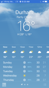 opportunity to let her run free.
So we went with having a plan, and the plan was this: Maybe it’s too cold this morning for people to go to off-leash hours.
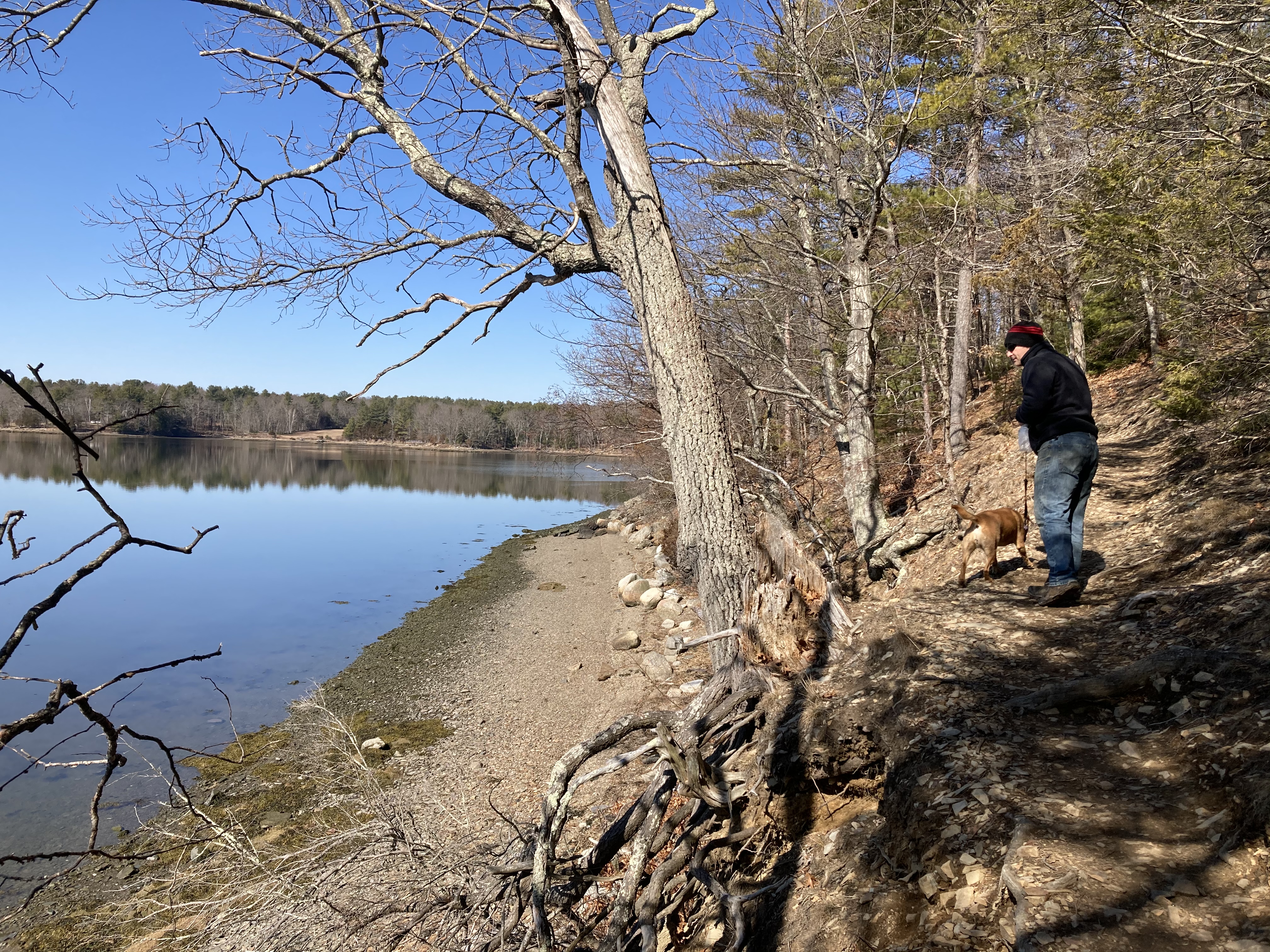
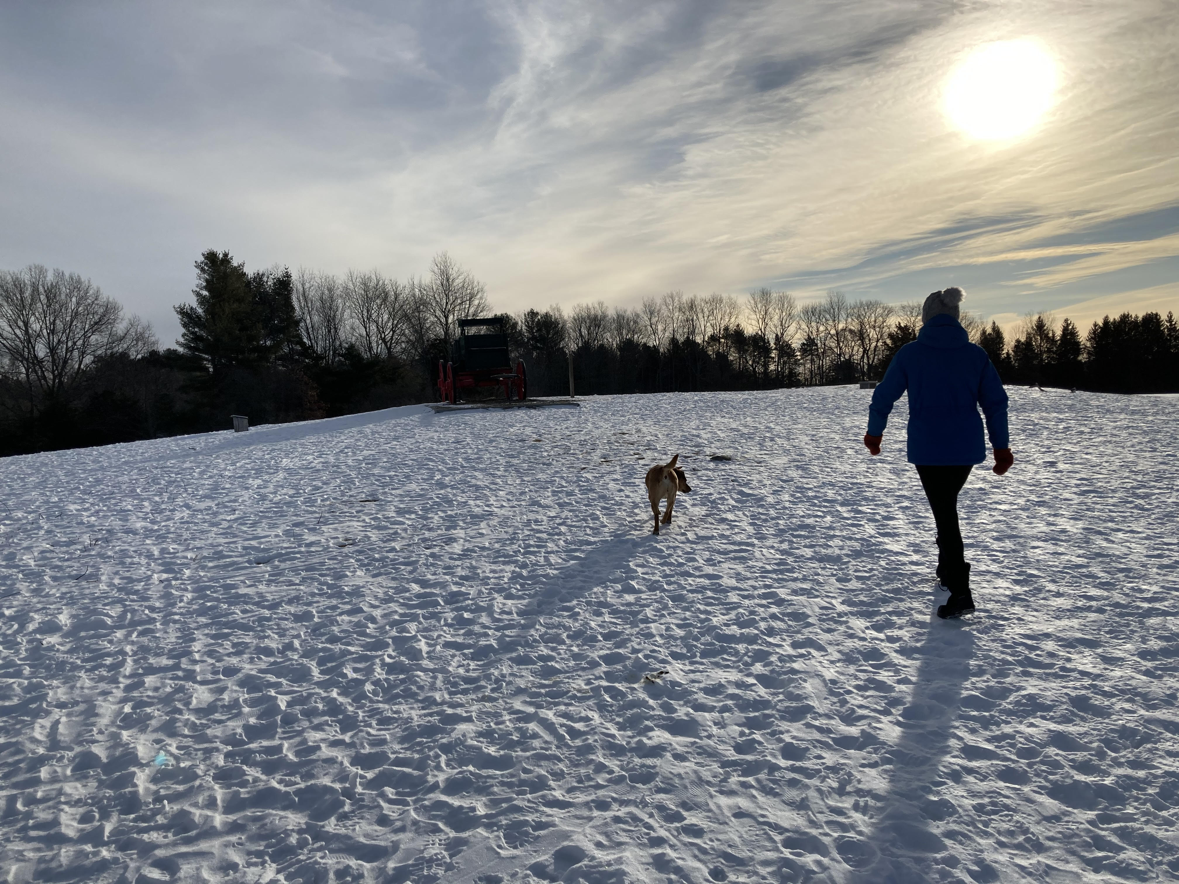
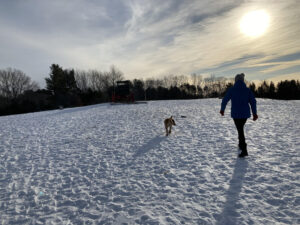
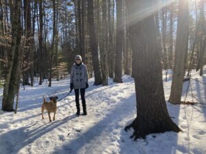
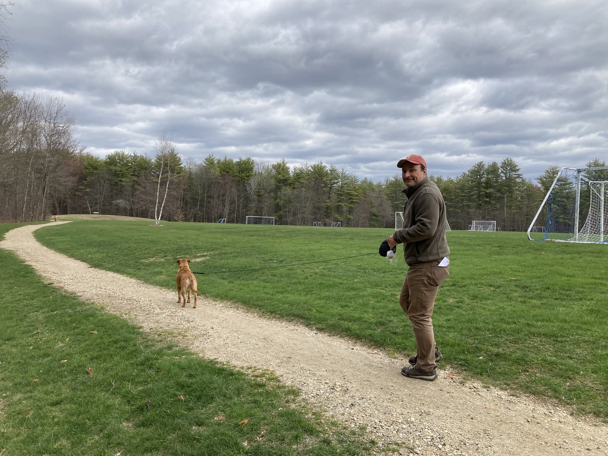
 What do you know — our plan worked. There were plenty of parking spaces and lots of space on the 1.5-mile perimeter loop. There were sunny skies, gleaming fields, and sparkling water. There was the urge to keep moving and not linger on the scenery, because it was 16 degrees. It was ok, though. Daisy has a good coat.
Now, at home by the stove, we can linger on the pictures. Wagon Hill is one of the four Crown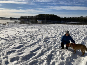 Jewels of Durham hiking (along with the Sweet Trail/Longmarsh Conservation Area, Adams Point, and College Woods). Wide open field views, plenty of space, shoreline hiking, scenes across the bay into the wilderness side of Newington — these all make for a can’t miss hiking experience here, even if the whole round trip is just over a mile and a half. You don’t have to rush through it (when it’s, like, 25 degrees or warmer) and you shouldn’t.
 As for the canine riff-raff on a Saturday morning, the cold might have kept people away, but the Town of Durham was not taking chances. As we returned to our car in the still-mostly-empty parking lot, we passed two occupied police cars.
The police officers were probably justthere to keep an eye on things; but it is interesting to note that in a college town, so much of the public safety resources on a Saturday morning were dedicated here. Sure, they would likely switch to downtown and the UNH campus as the students woke up and began moving around and the townies emerged from their homes, but Wagon Hill is still important enough to our community to keep an eye on it, too.
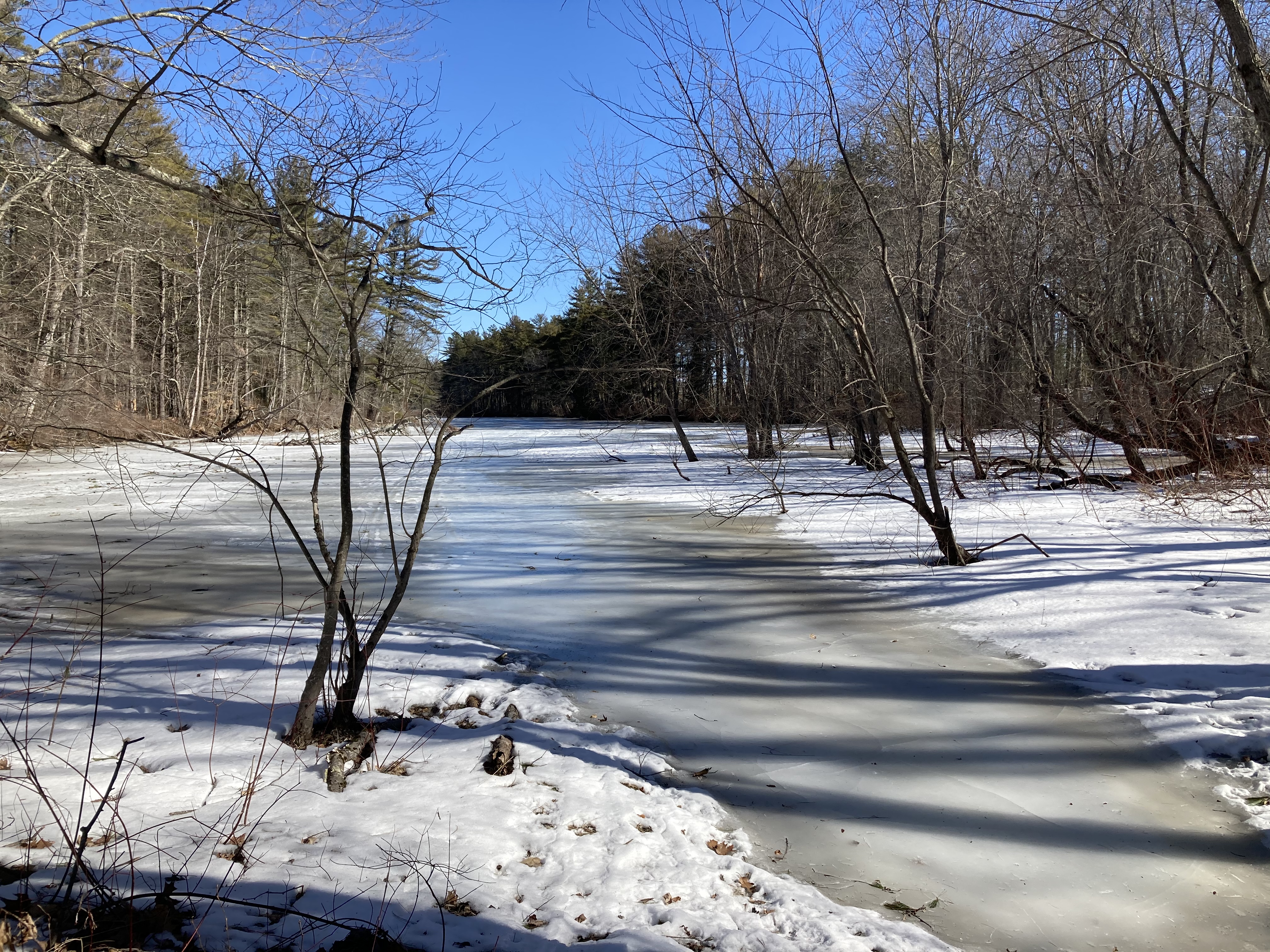
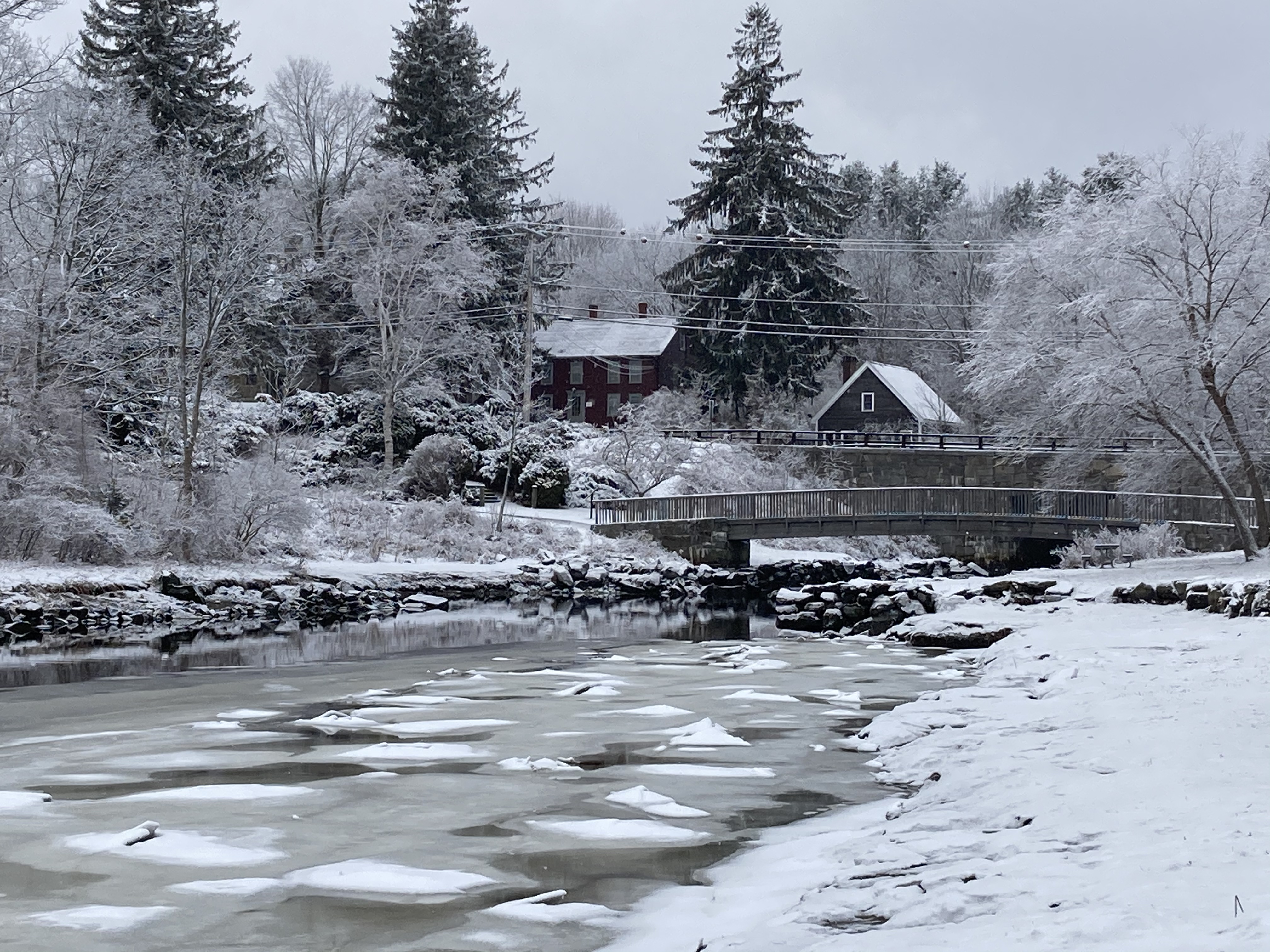
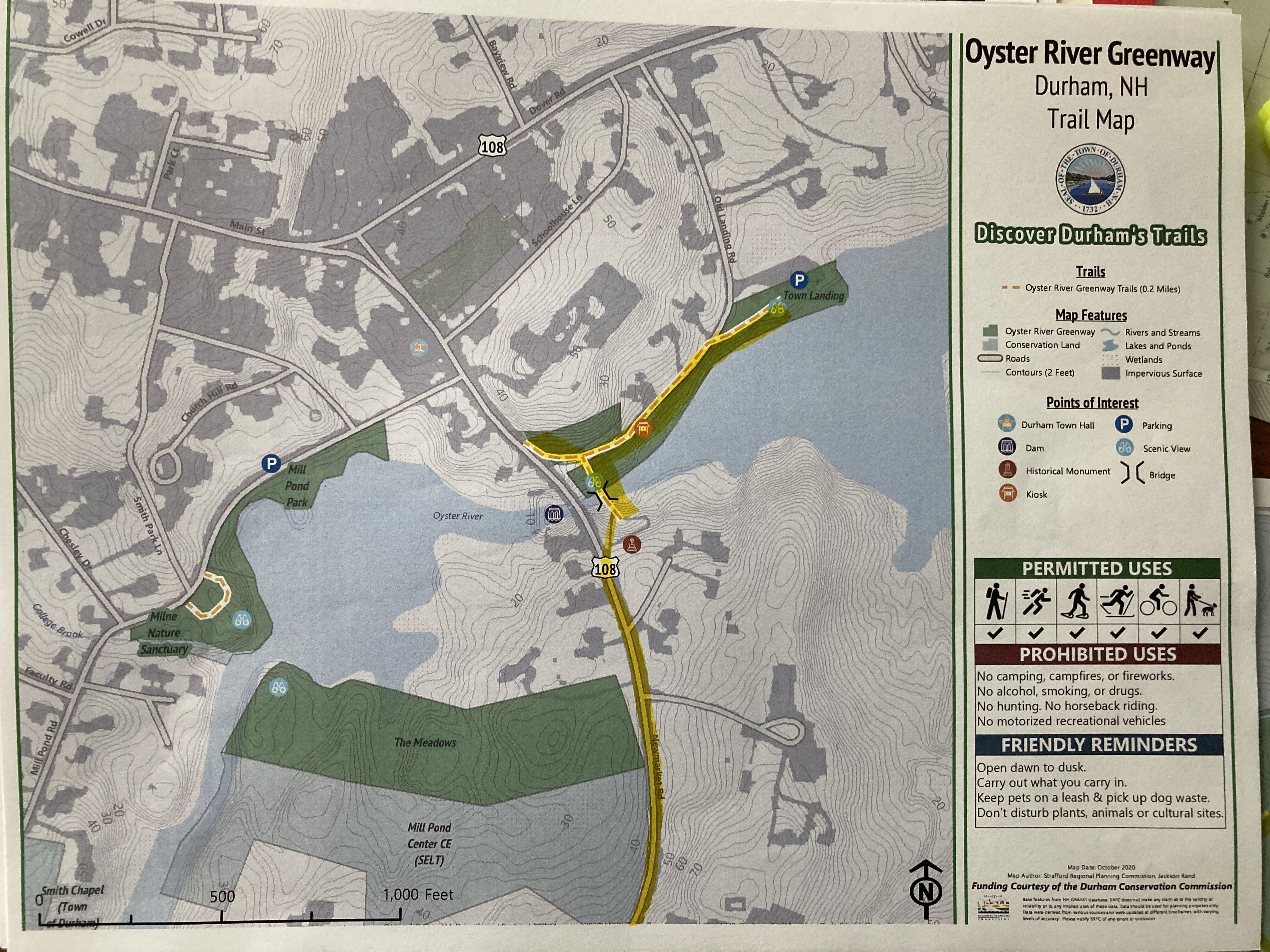
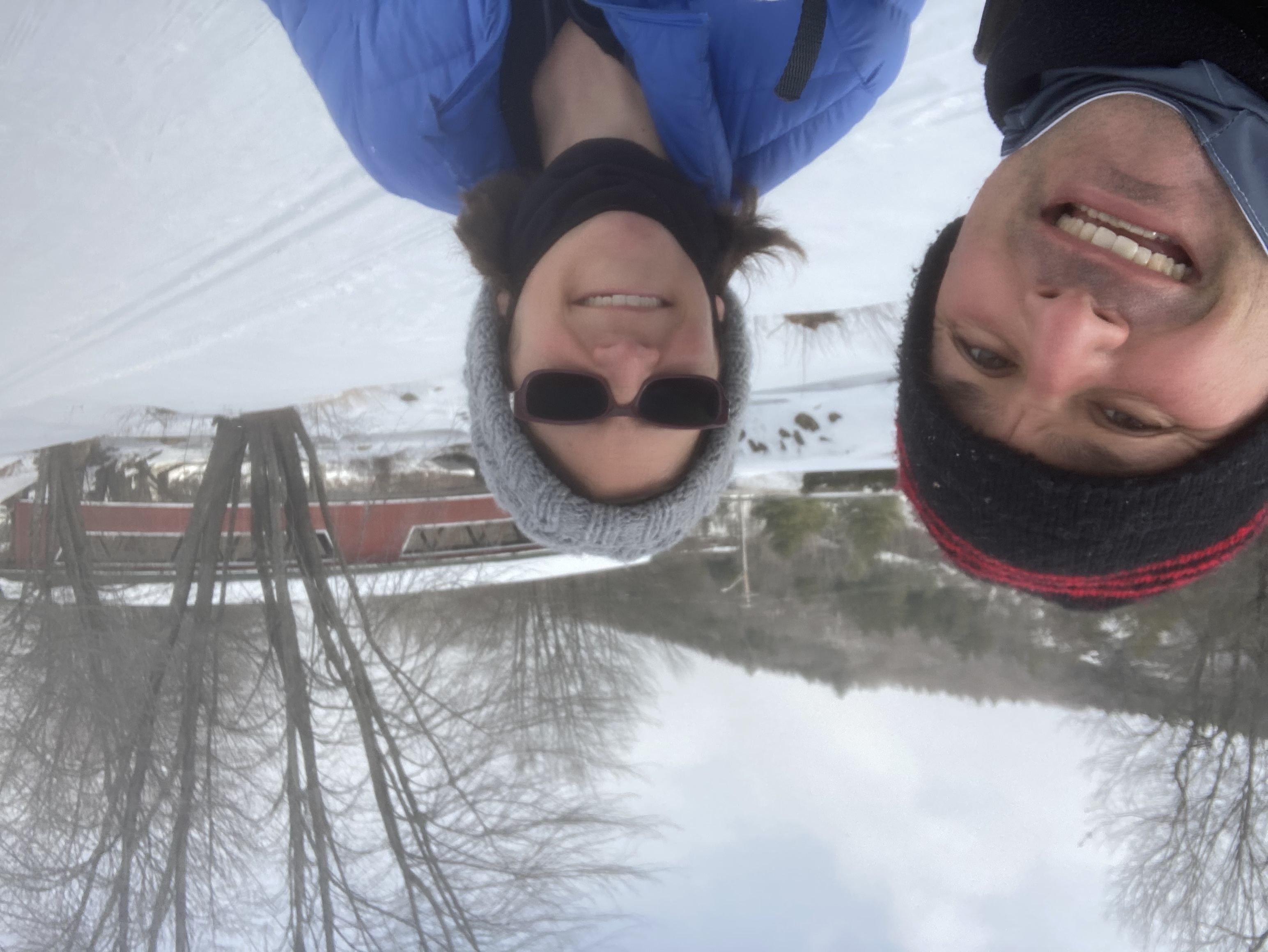
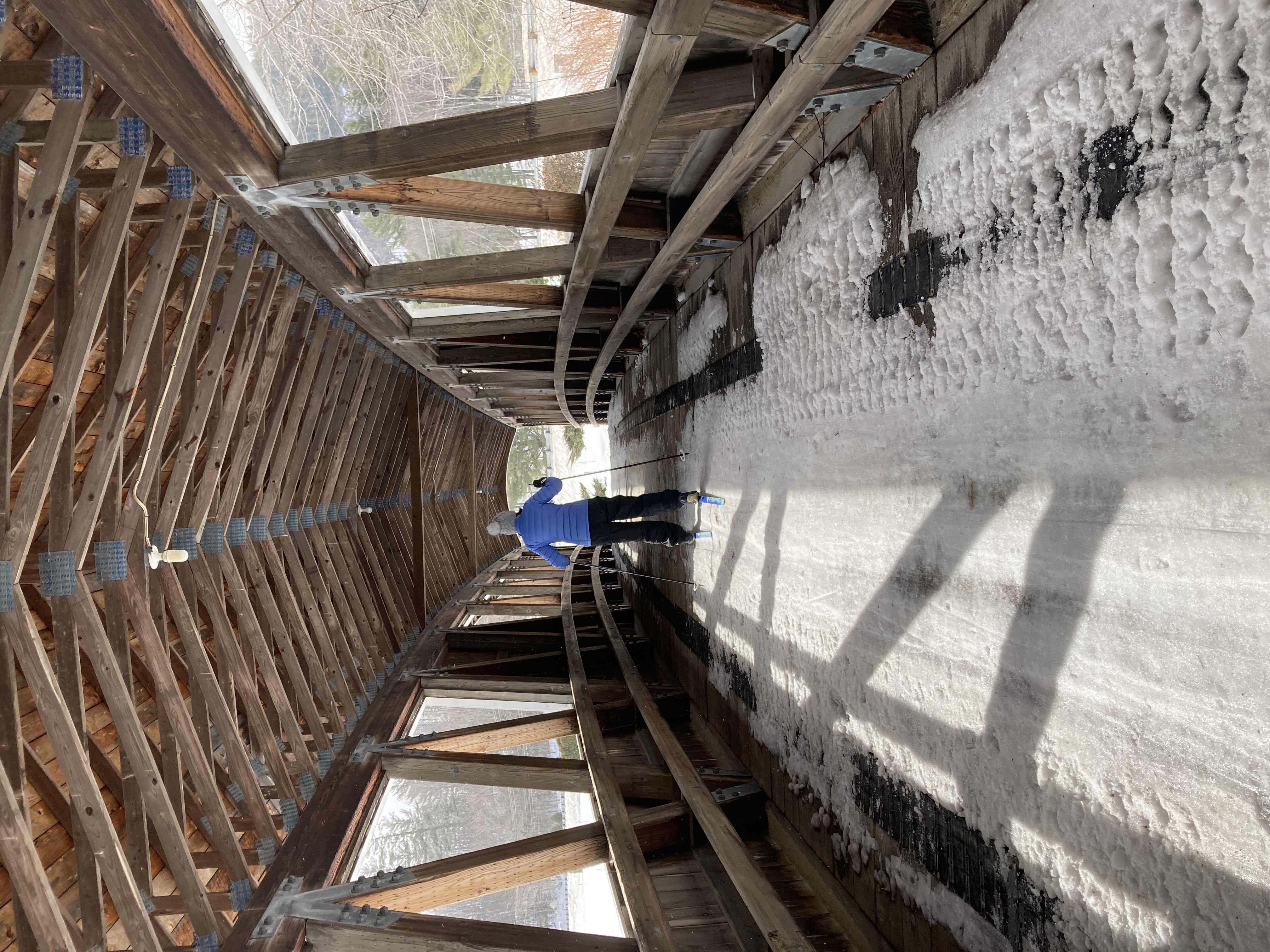
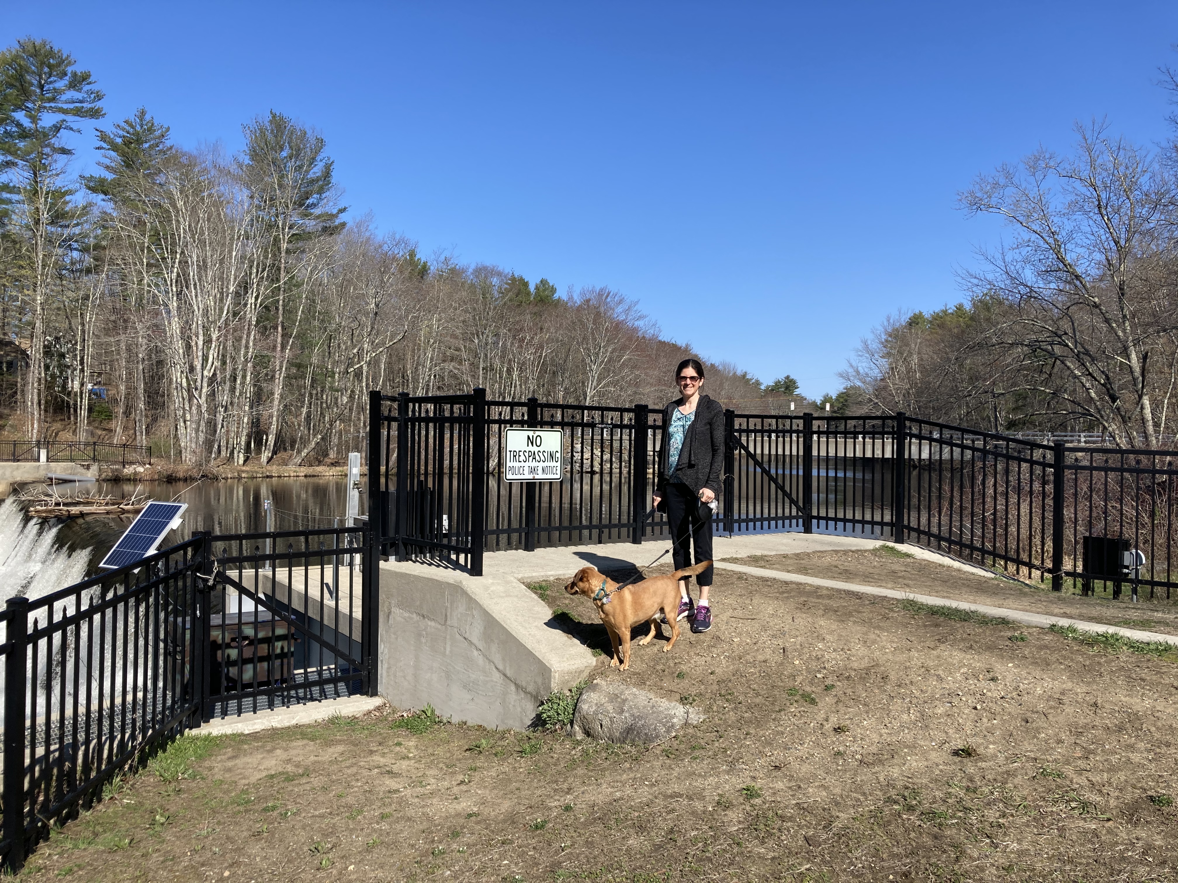
Oyster River Greenway (Town Landing)
Turtle pond
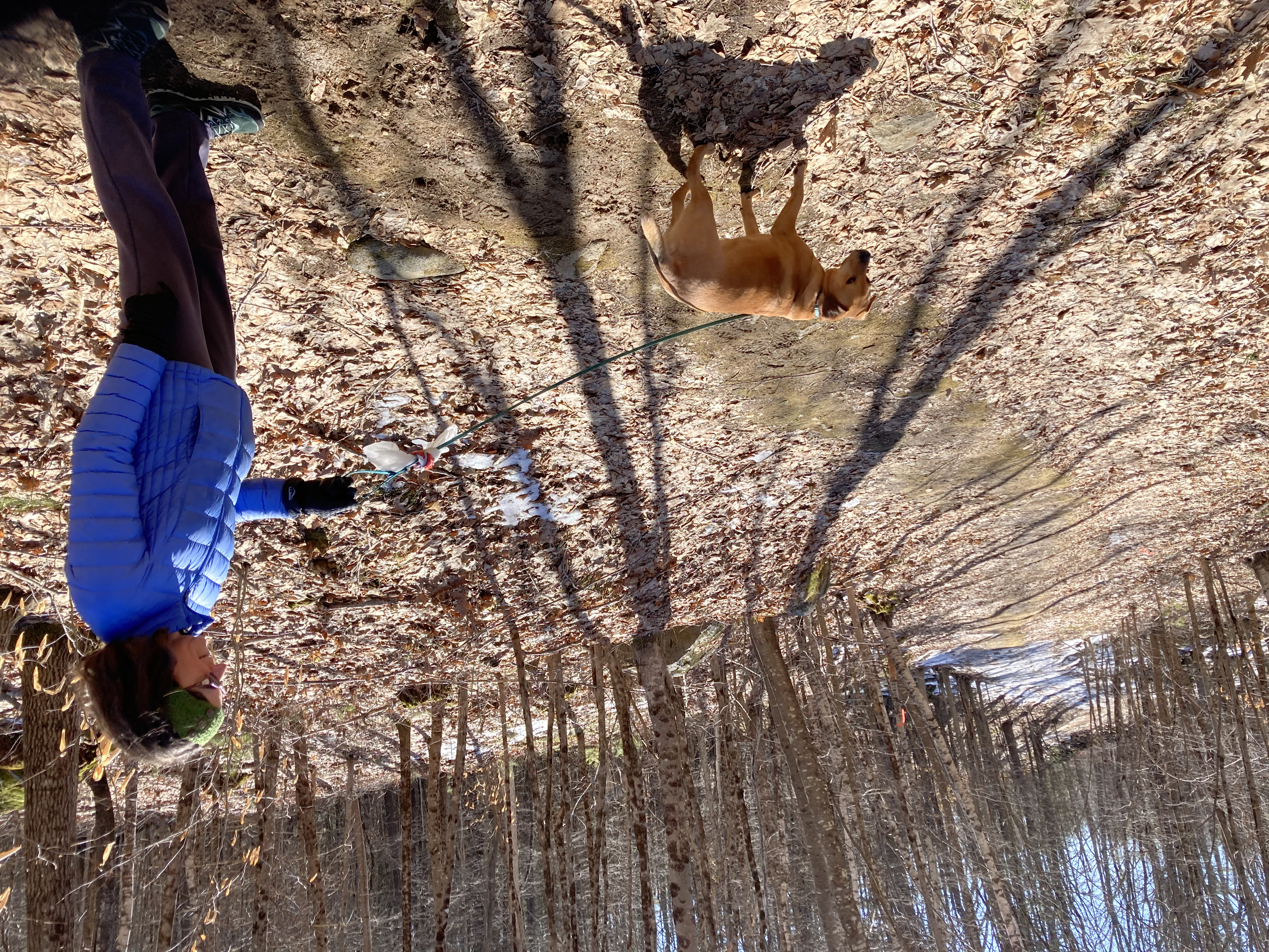
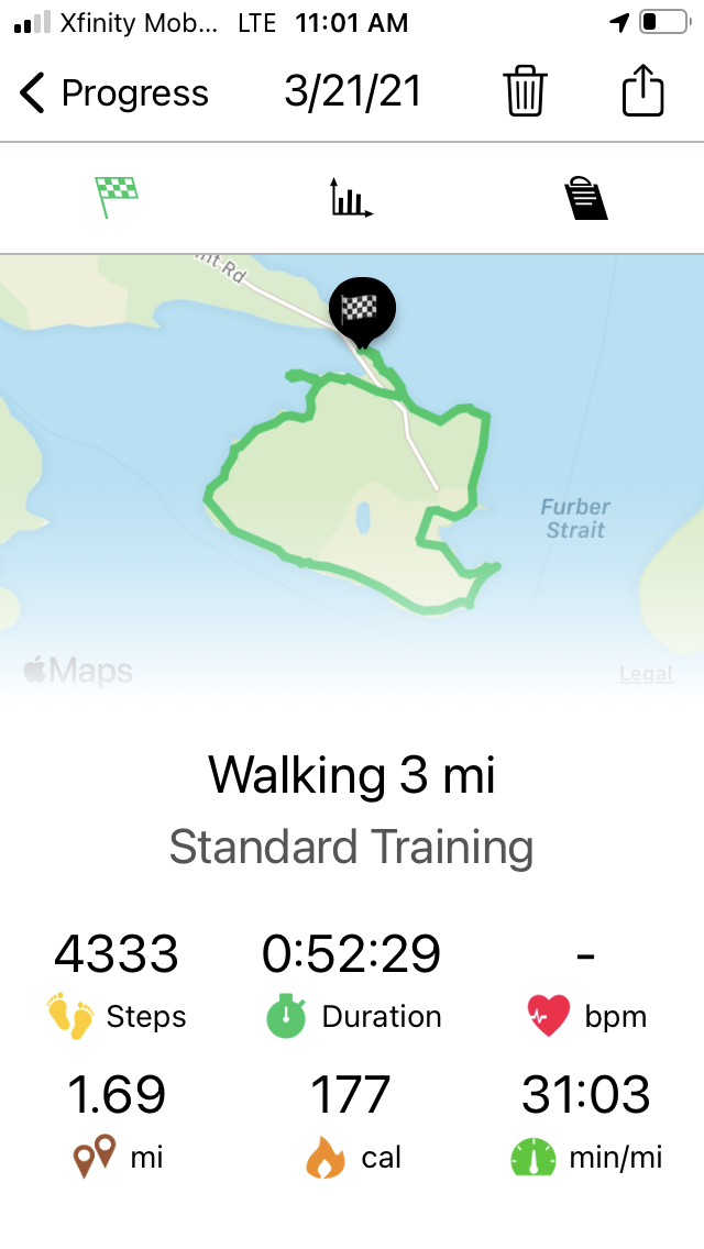
We’re a bit light on hikes this month — the snow finally arrived and we’ve been spending some of our weekend days skiing instead of walking. So I’m going to include this walk for February, which could be documented anytime because we (or at least I) walk it almost every day.
Through all seasons and weathers, first thing in the morning we’re generally taking Daisy for the half-hour round trip walk down to the Town Landing on the Oyster River. The actual “greenway” is kind of comically small and doesn’t include any kind of actual trail — “park” would really be a more appropriate word. But it’s hard to beat for easy-to-access beauty in all seasons. Plus the town actually does include a “trail map” for it on its website, so we’re going to go ahead and count it.
 Even though most of this walk is along the road (and a busy road at that), I really love the whole thing. The first thing we pass is the small, marshy pond at the edge of our neighborhood where turtles sun themselves on rocks in the summer. In spring, when we’re so thankful to feel the temperatures begin to rise, we always slow the car
  and roll down the windows when passing at dusk to hear the spring peepers begin to sing. In winter it is a lovely picture of snow and ice.
We pass by stately Colonial-era houses and barns, fronted by old stone walls dug out of the fields by the farmers who first settled here. Across the street is a rolling field, always lovely in the morning light. (This past year the stone wall fronting it had to be moved back, and the town planted purple lupins all alolng the front of it — an unexpected delight in the spring.)
We pass the General O’Sullivan house and monument, which played a key part in the Revolutionary War (though apparently General O’Sullivan himself was actually not such a great guy).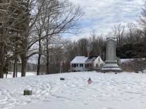
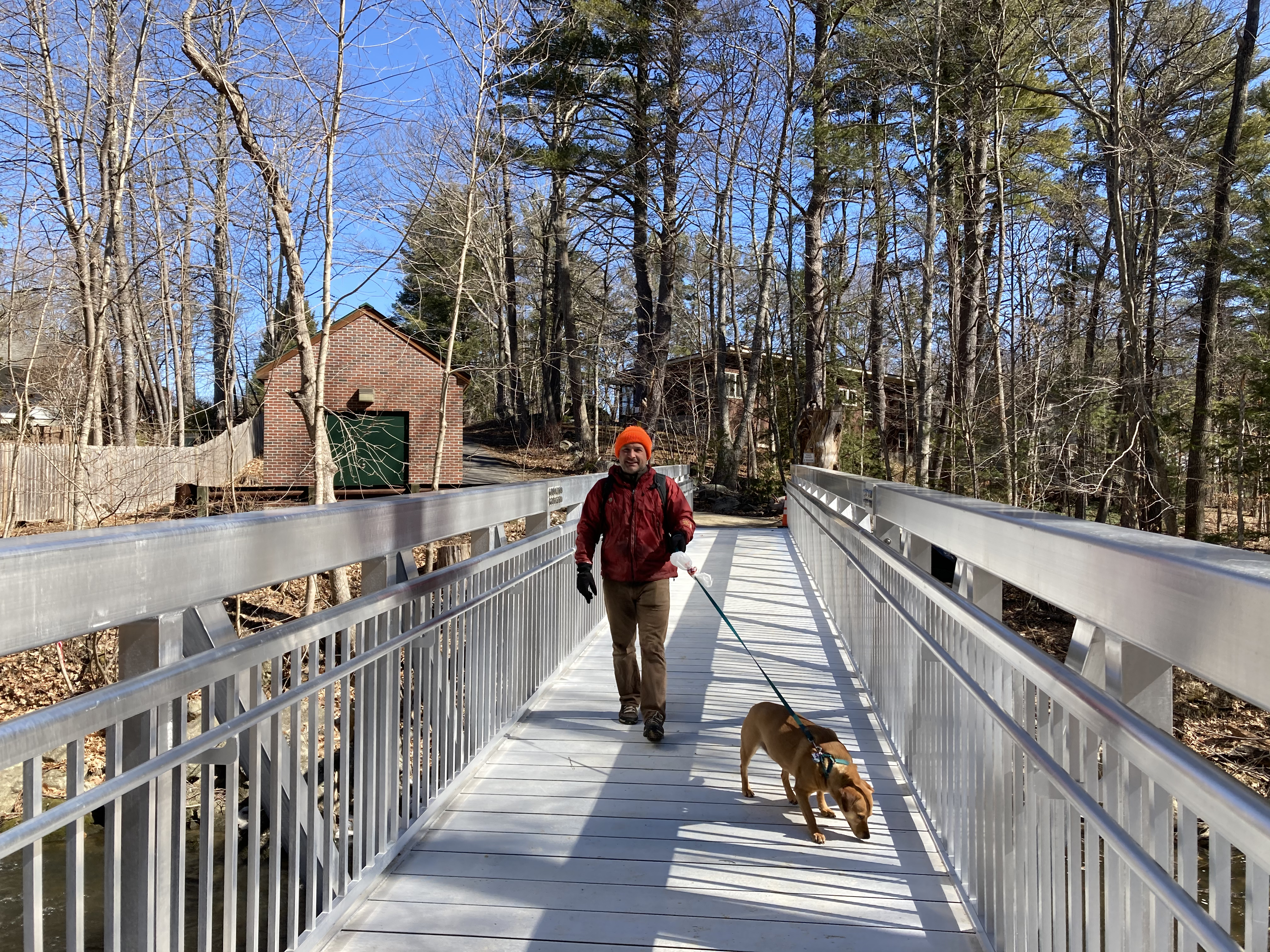
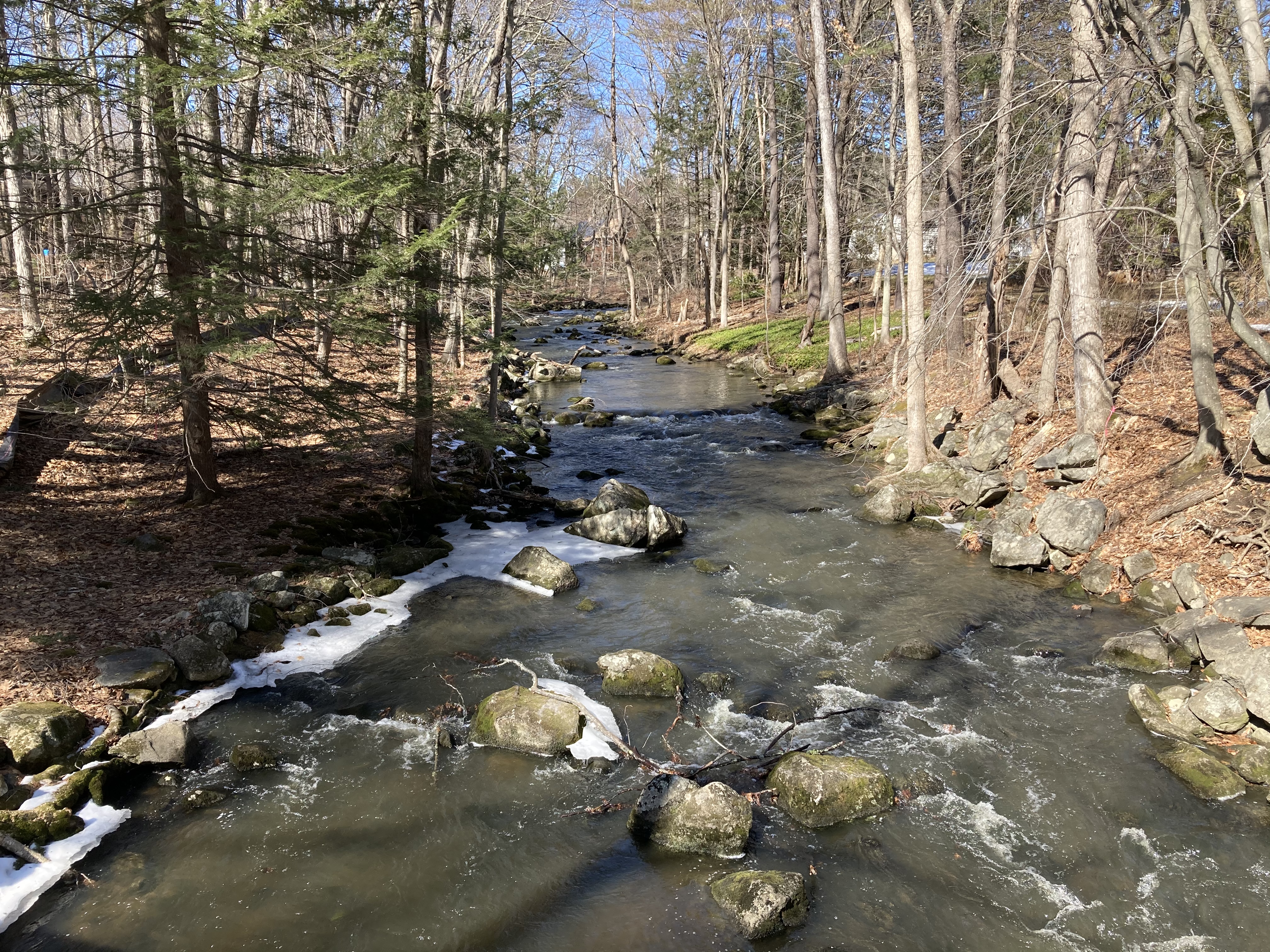
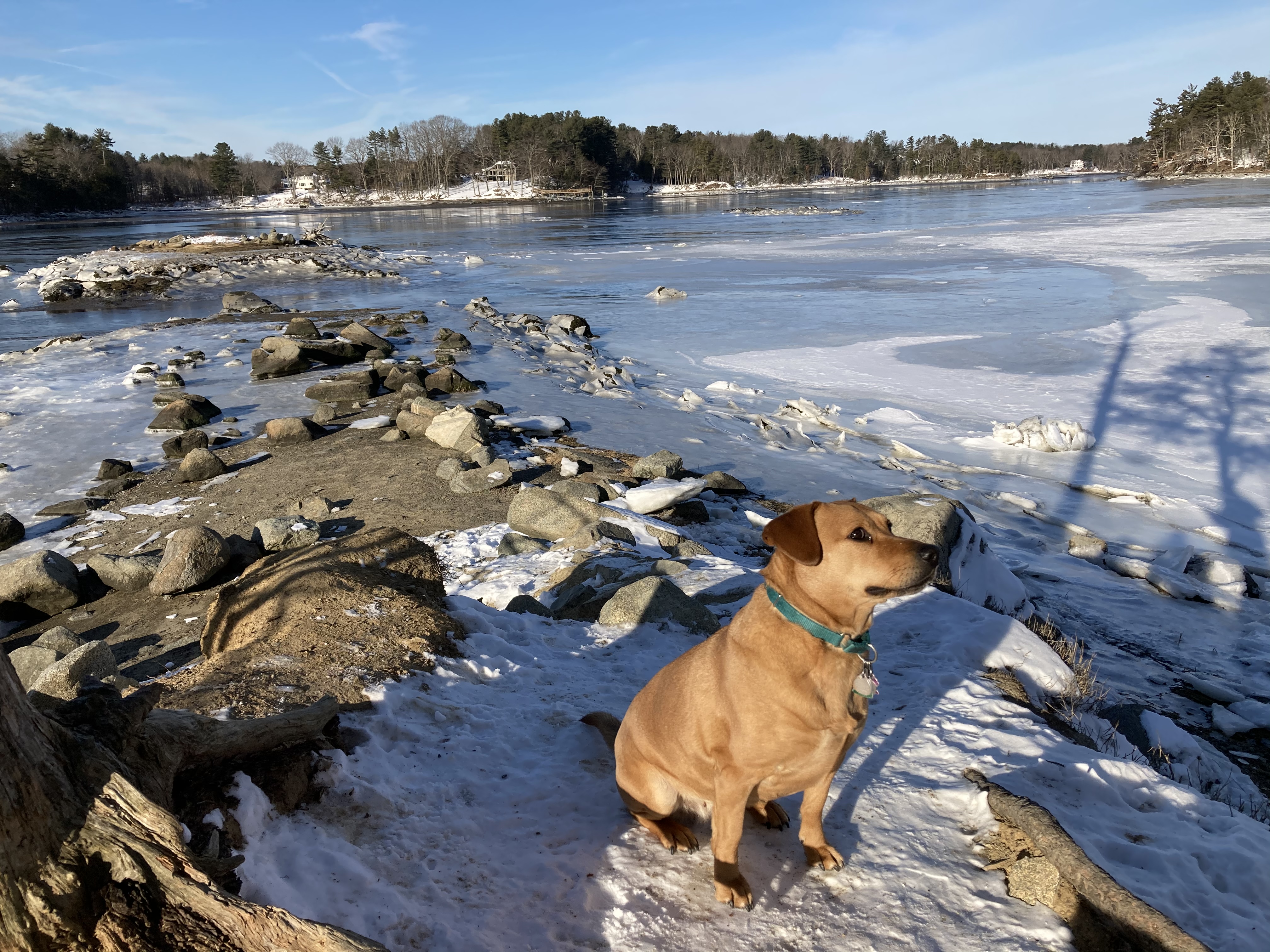
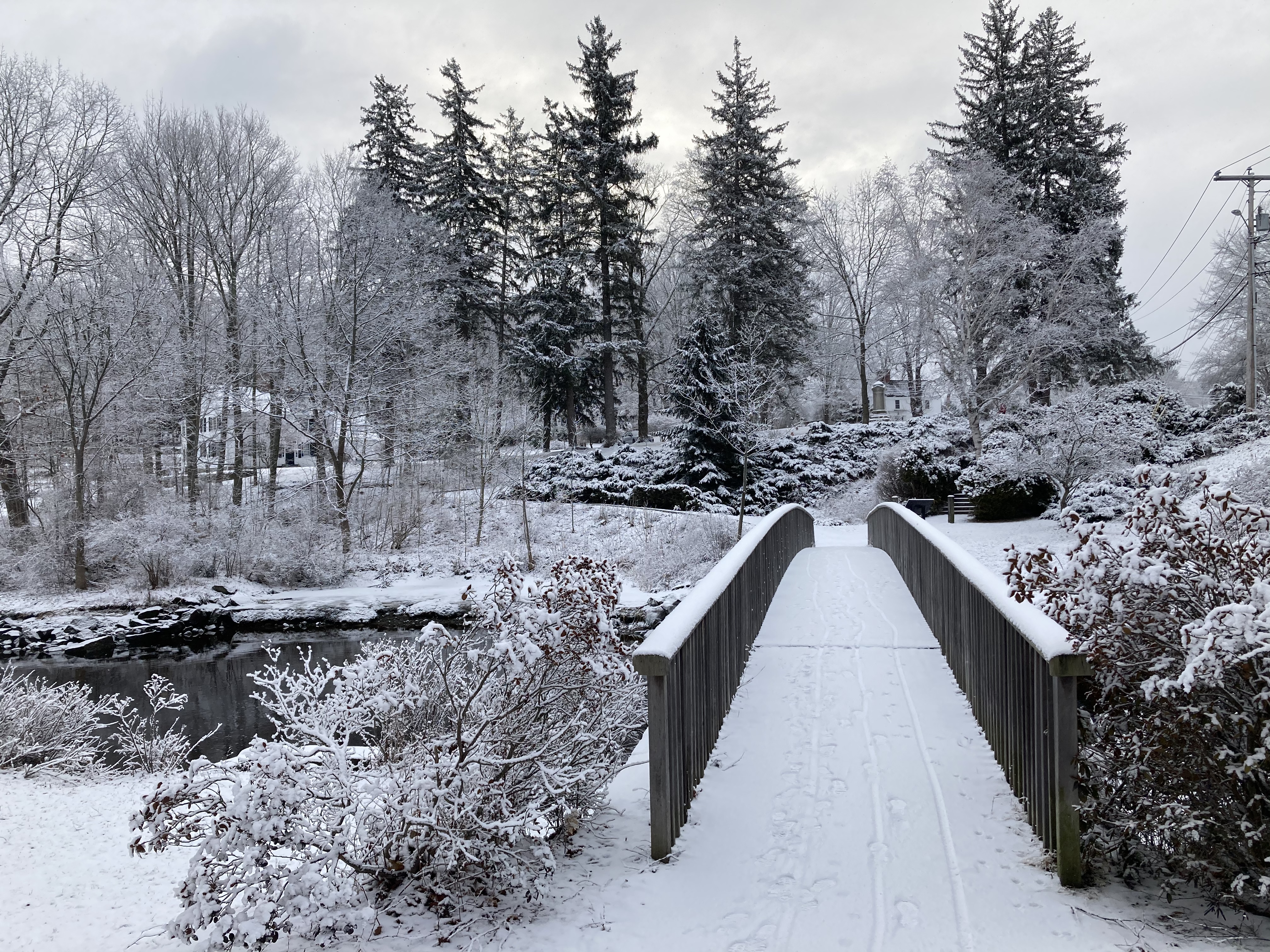
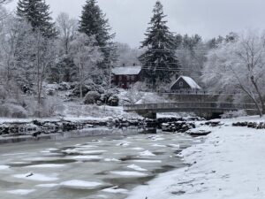
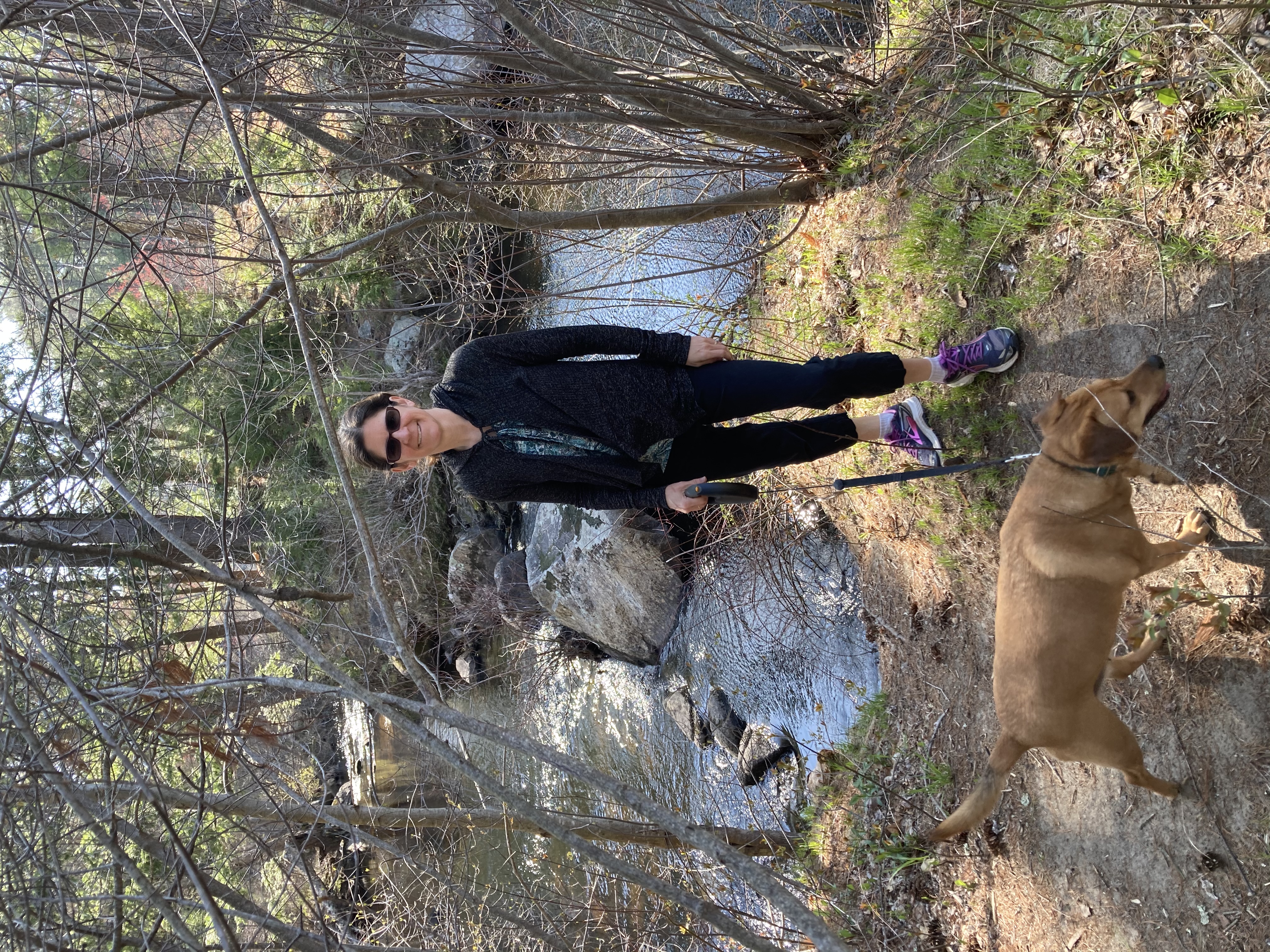
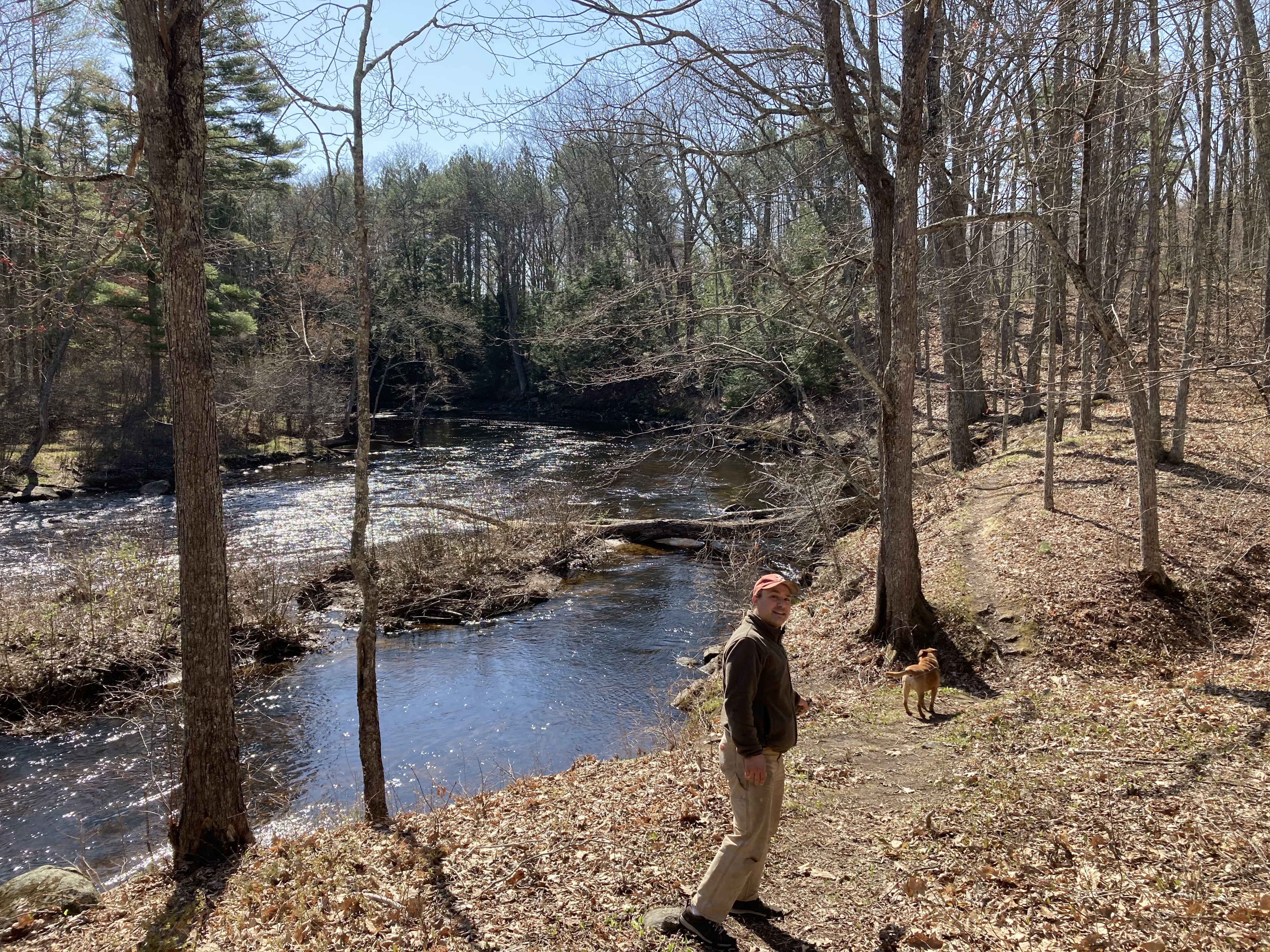
When we eventually reach the landing, a graceful wooden footbridge invites us across the river. Glancing to the left reveals the waterfall coming off the dam that forms the Mill Pond (at least for now; dam removal may be coming to restore the natural river). This is a tidal river, and thus is different every day — sometimes just a trickle with mud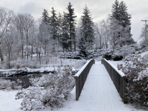 flats stretching on either side, sometimes flooding over its banks and partially submerging the picnic tables along the shore. We walk down the road to the end of the park, then loop back by walking along the stone wall that defines the edge of the river. (One time Daisy somehow managed to fall off the edge; luckily that was a mud flat day so she was able to walk to safety.)
 Bob has fond memories of this walk as well — all our girls went to preschool at the (now sadly defunct) Old Landing Children’s Day school, so this is the path they would walk to be dropped off in the morning or picked up in the afternoon. Now we’re happy we have Daisy to motivate us to revisit it each morning.
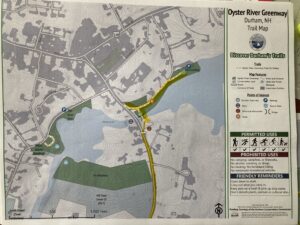
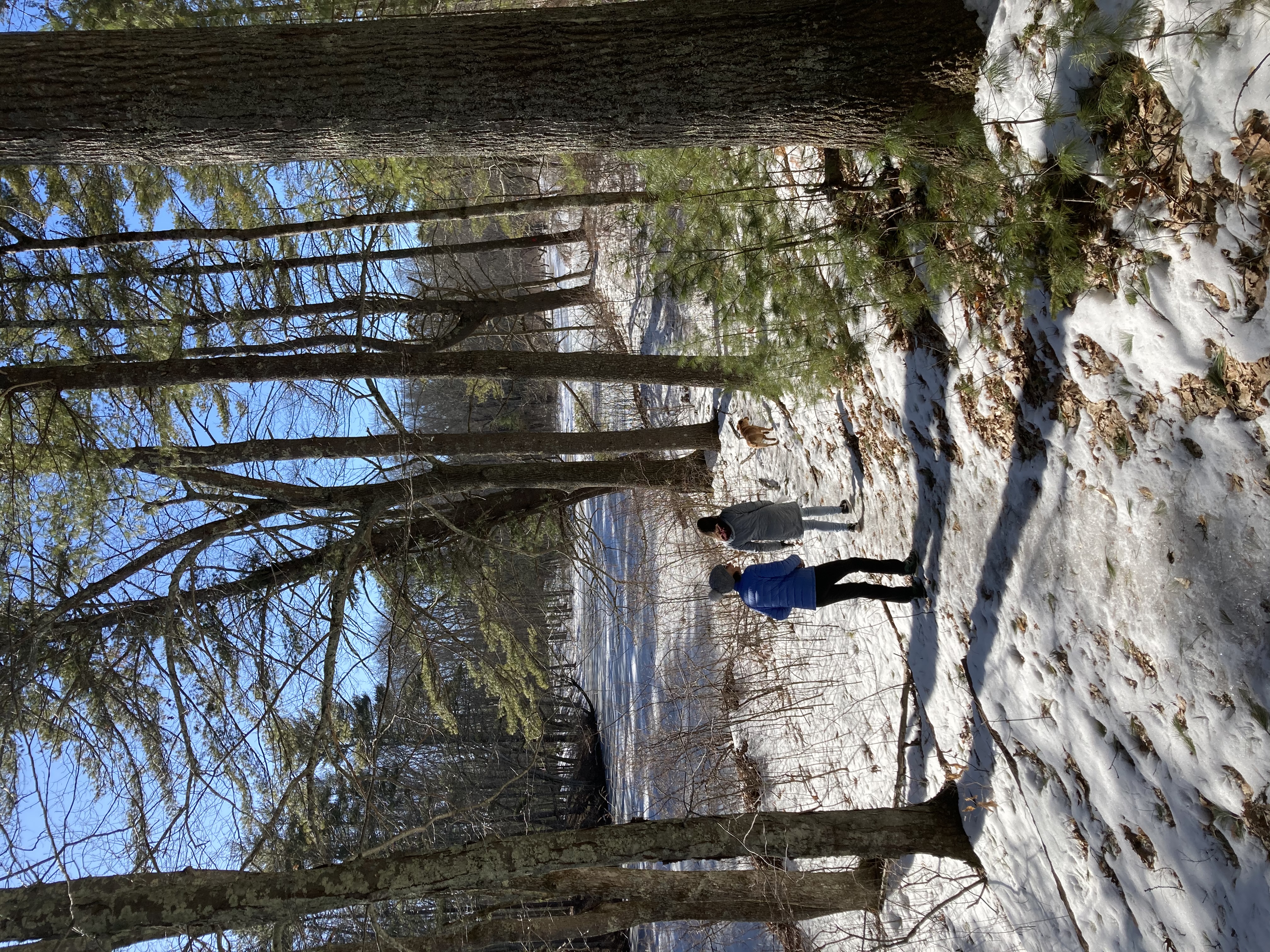
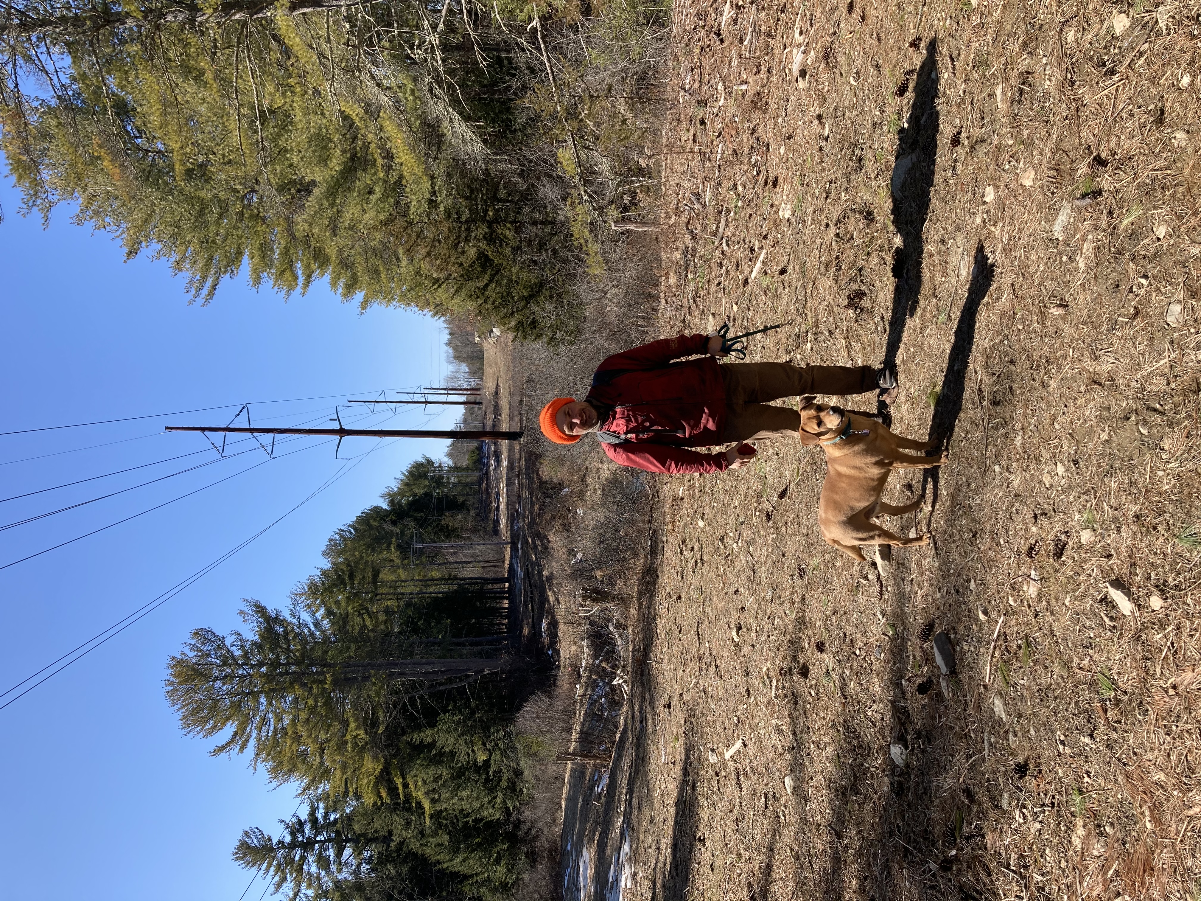
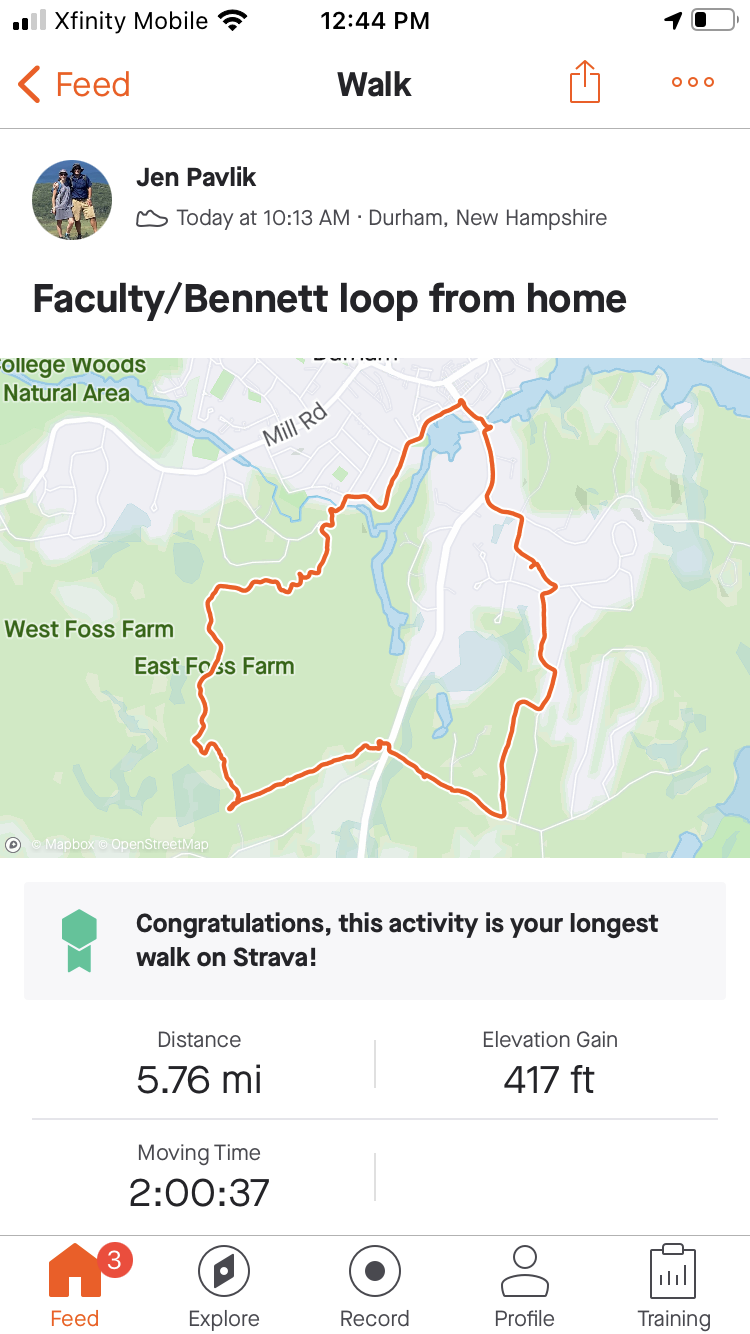
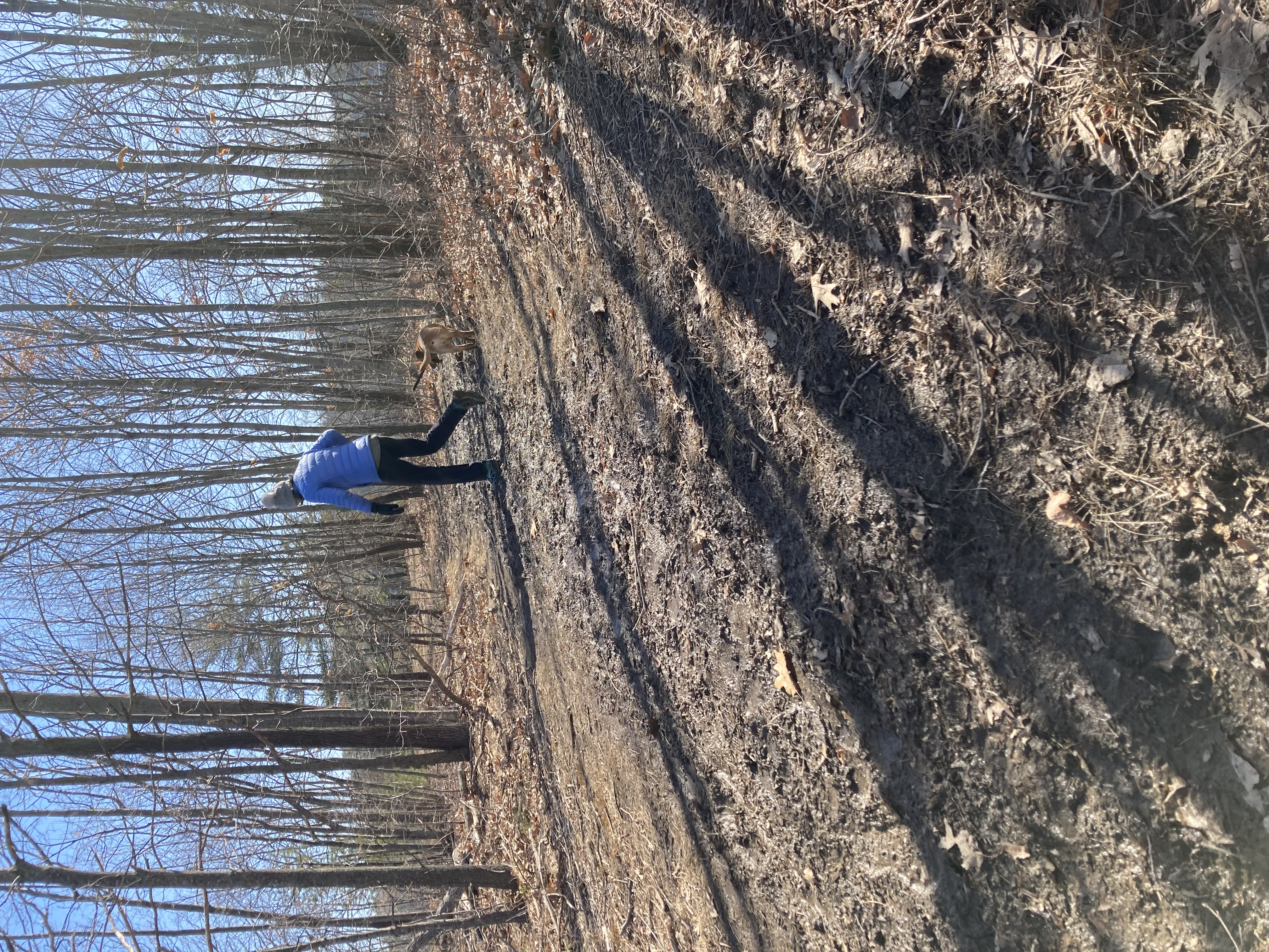
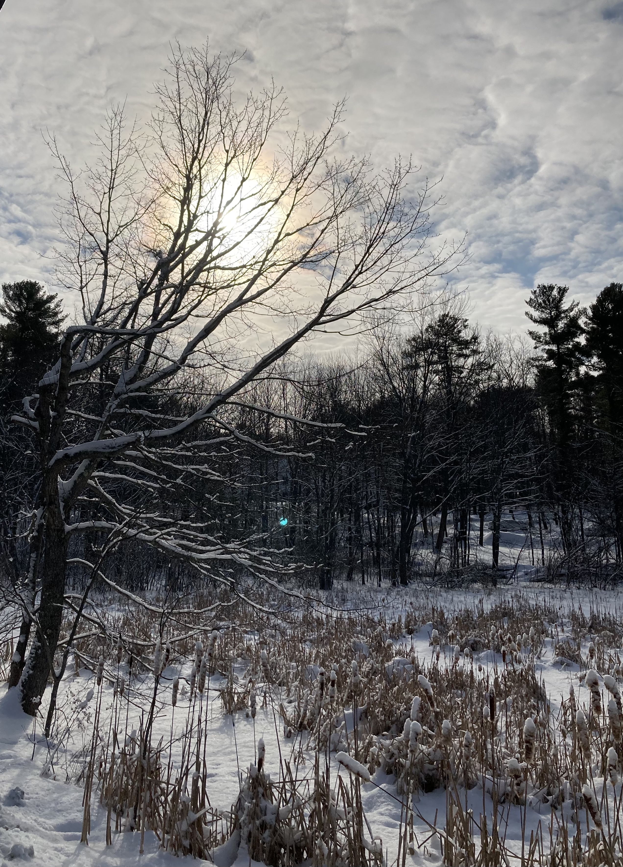
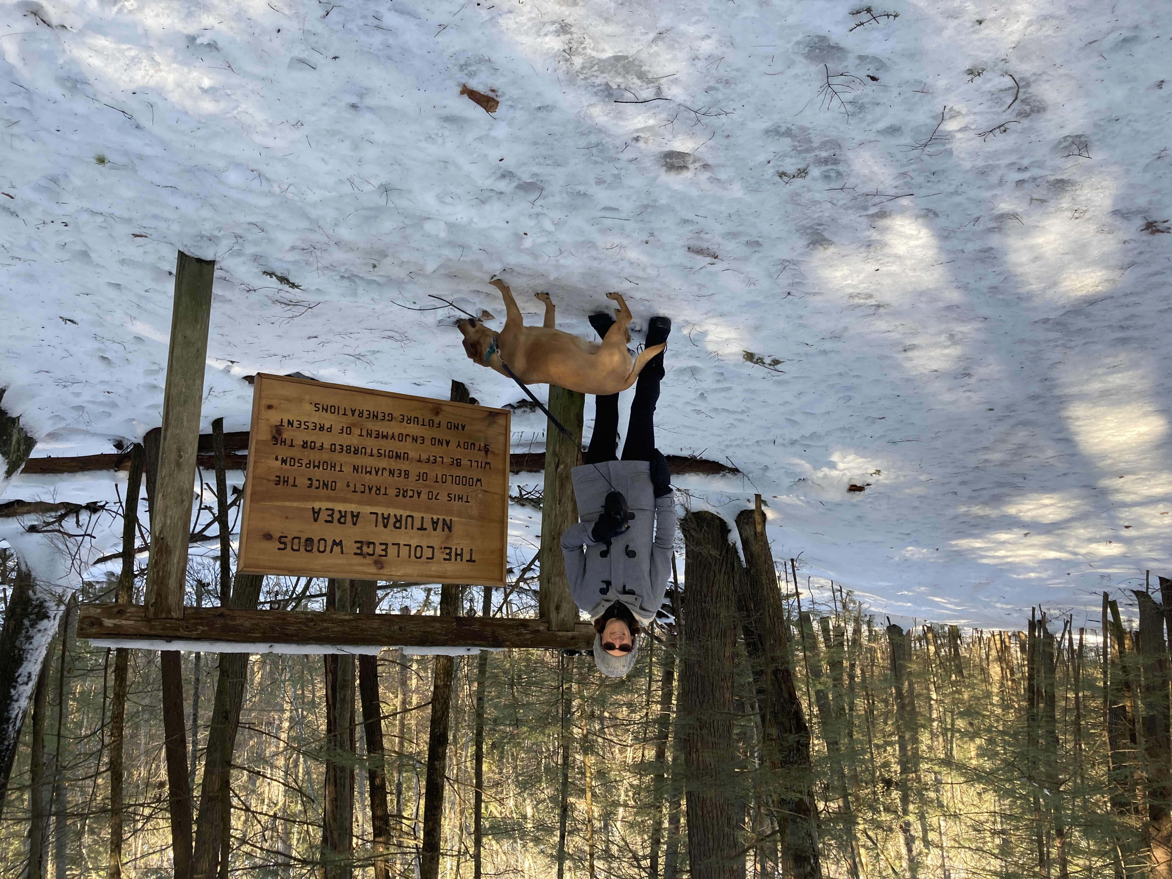
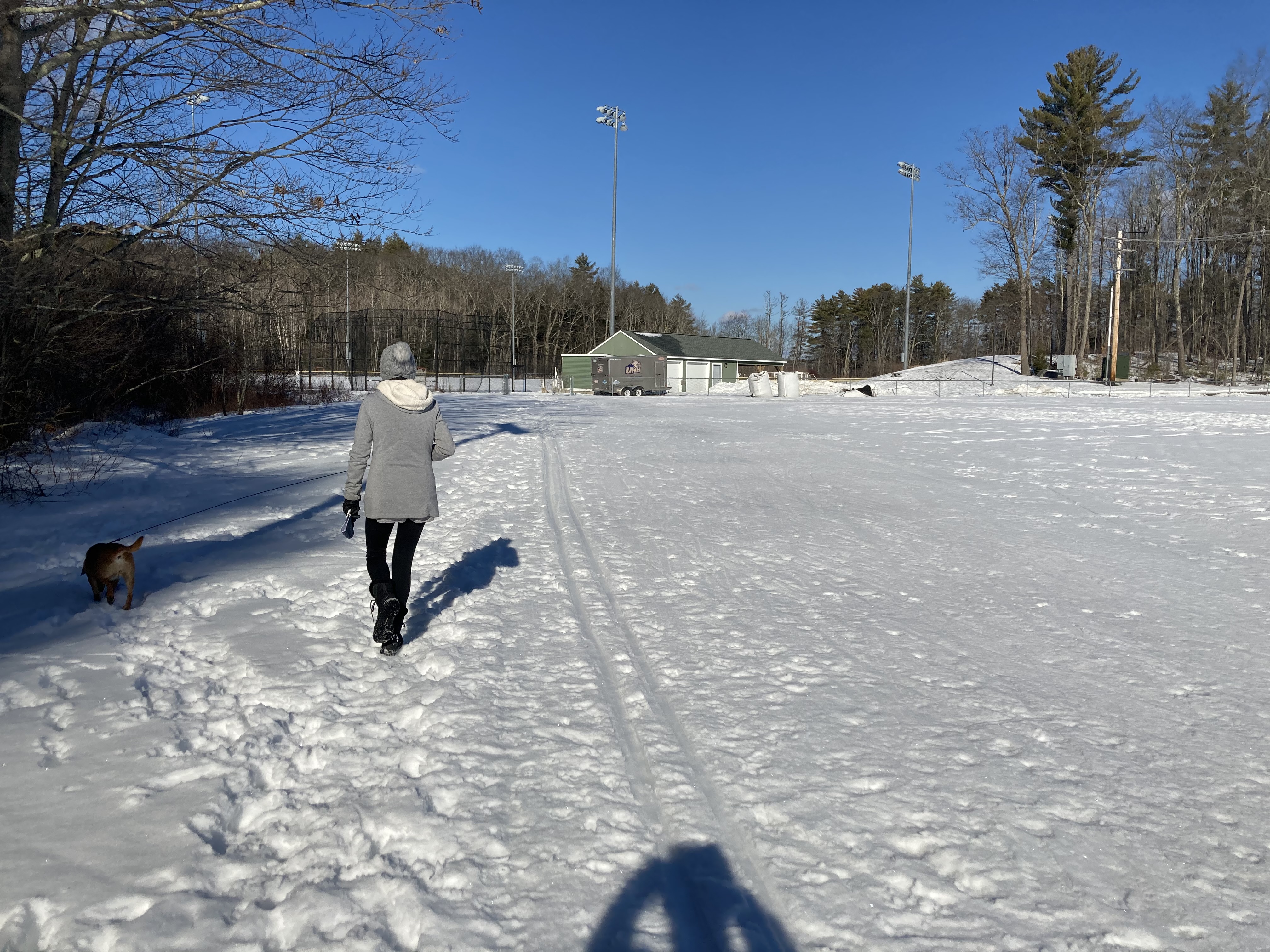
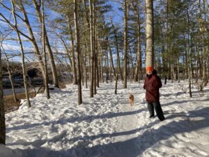
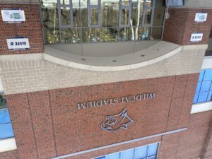
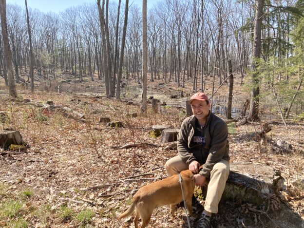
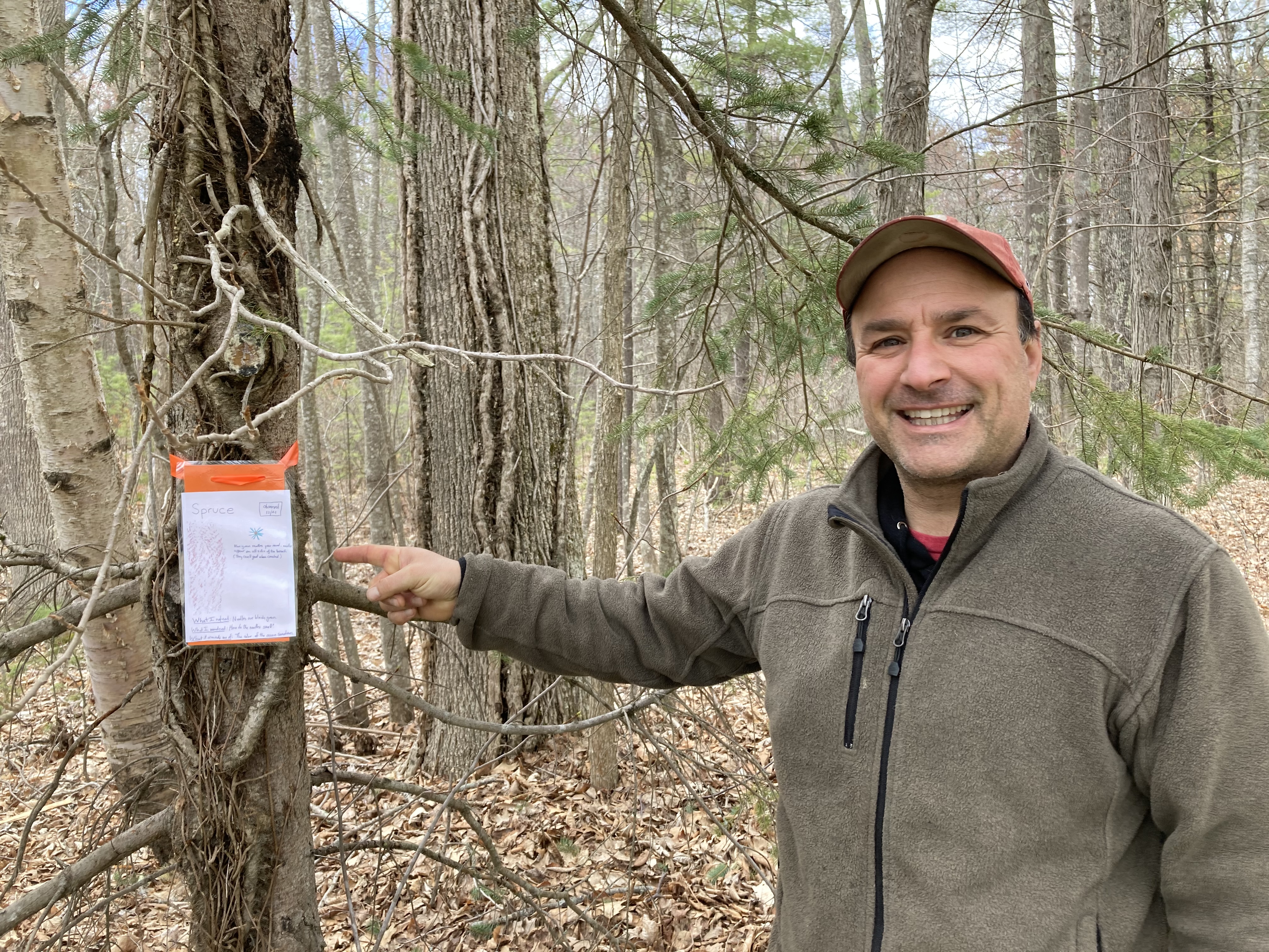
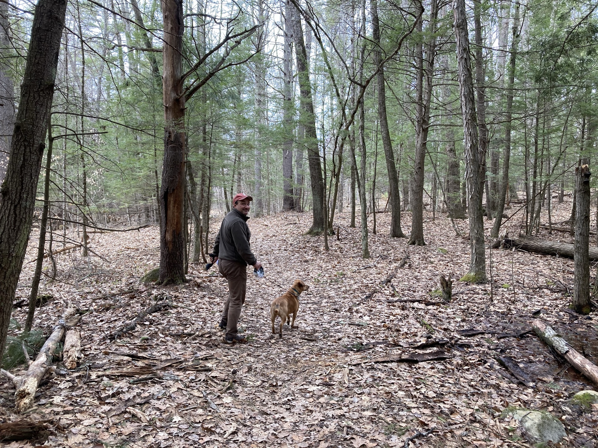
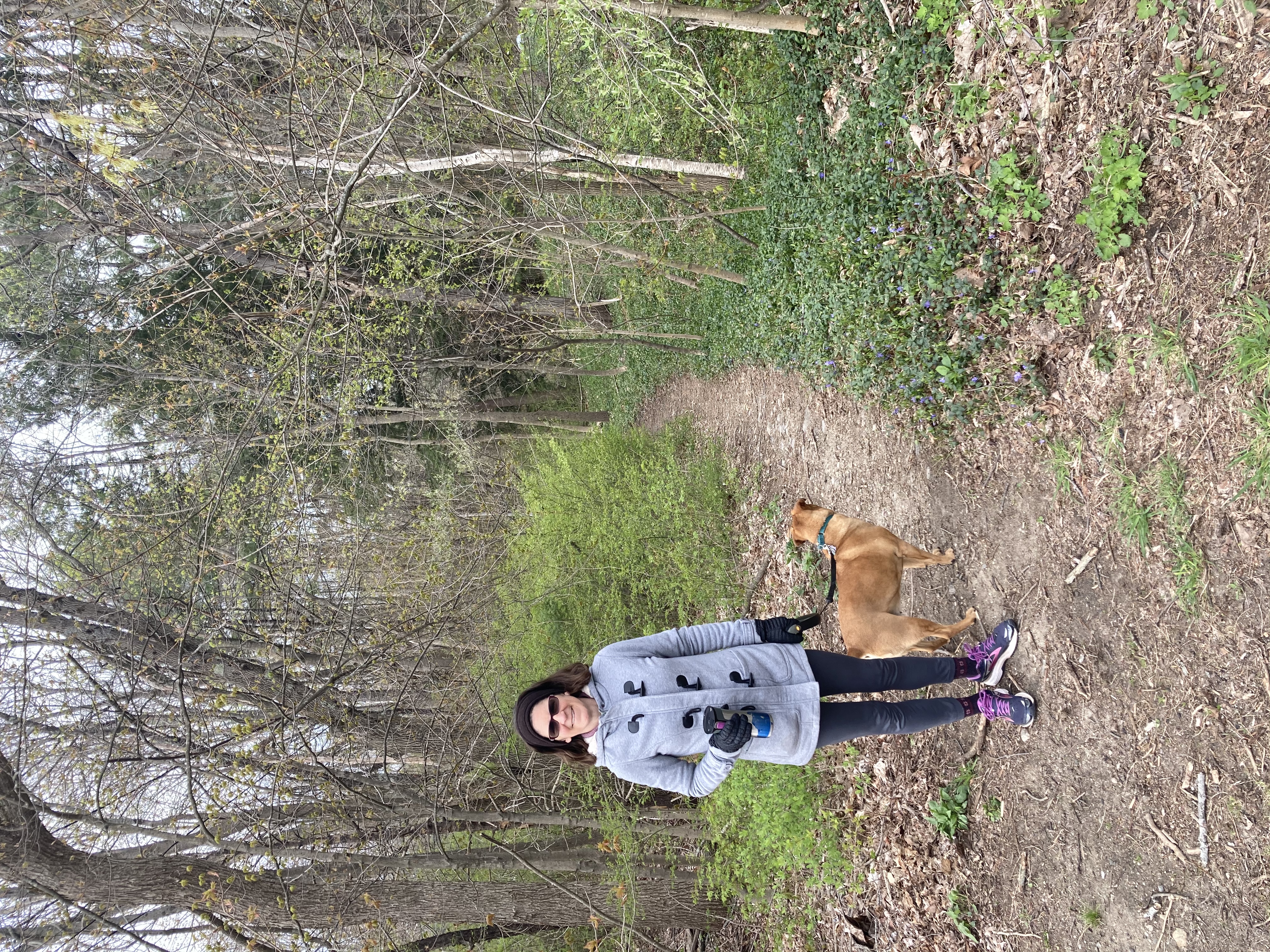
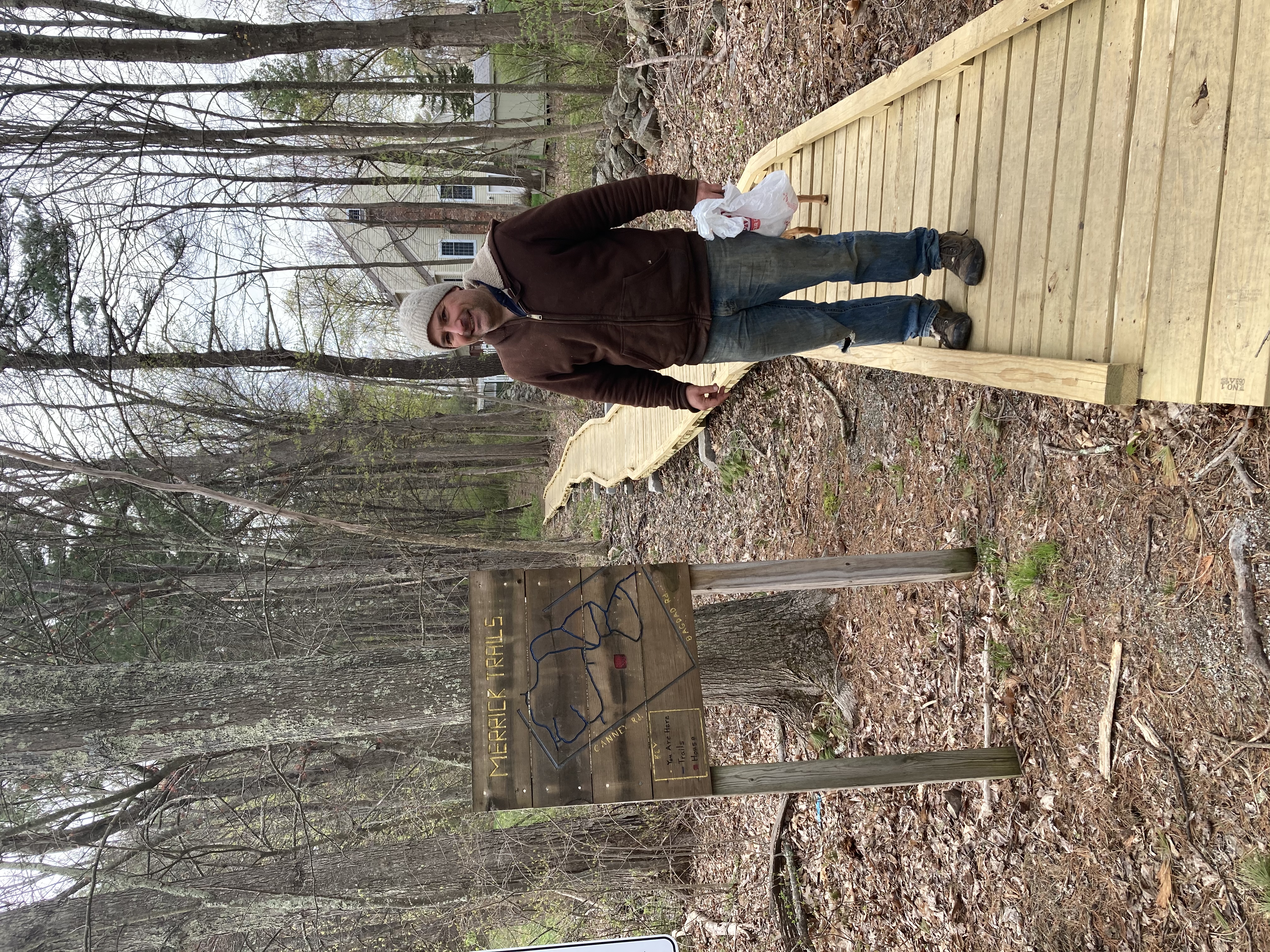
Colege Woods – 2/24/2021
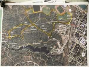
 Right at the center of it all is College Woods, where more people walk their dogs, jog around, cross country ski, and just generally hang out, than any other trails around. Not as scenic as Wagon Hill, it is much larger and more heavily criss-crossed with trails. It is easy to get lost, or at least to feel lost in College Woods.
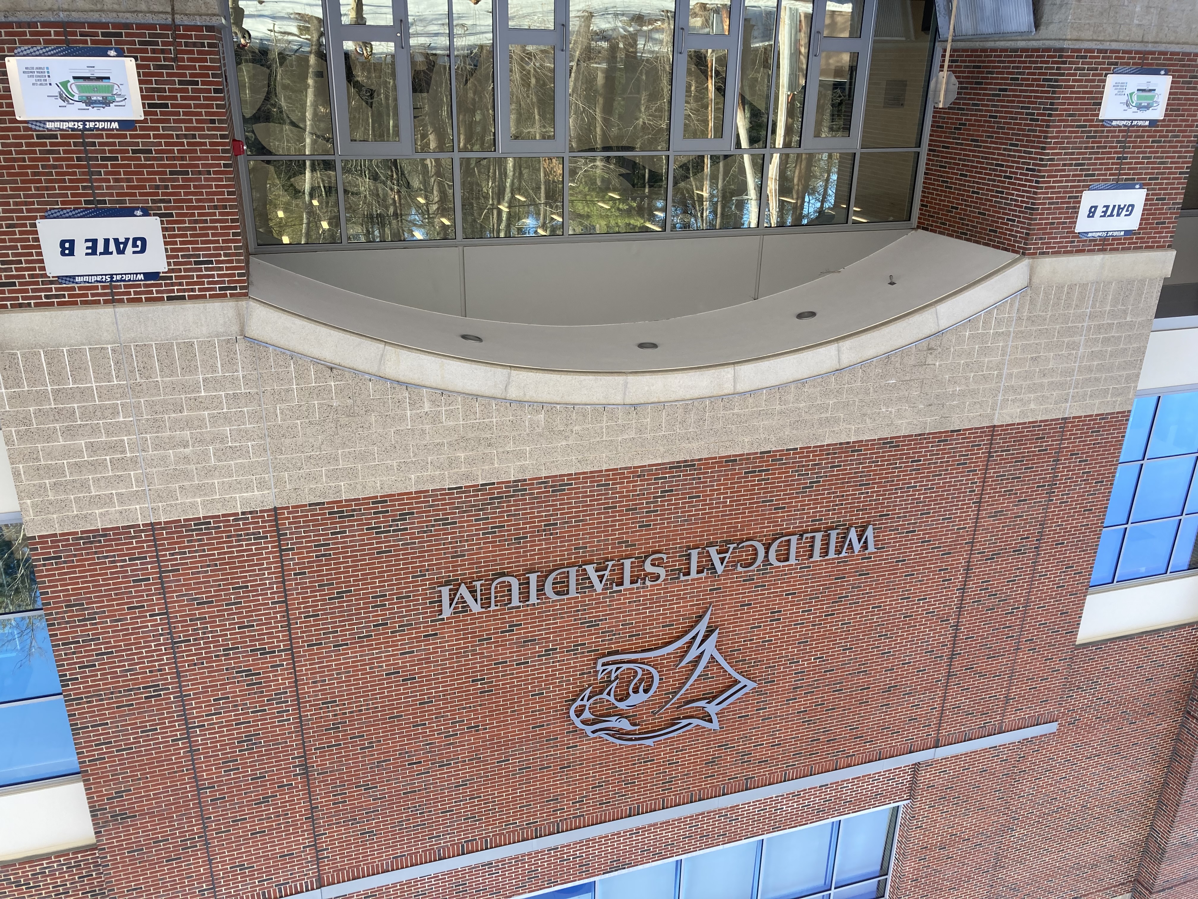
So it will come as a bit of a surprise that we did not get lost on our walk this week. The closest we came was a little anxiety over whether we allowed to walk along the concourse behind the football stadium, and how close to the cross country trails we could get before we caused damage to the skiing. We decided to risk the avenue behind the stadium and to try to keep our from the ski ruts as well as we could.
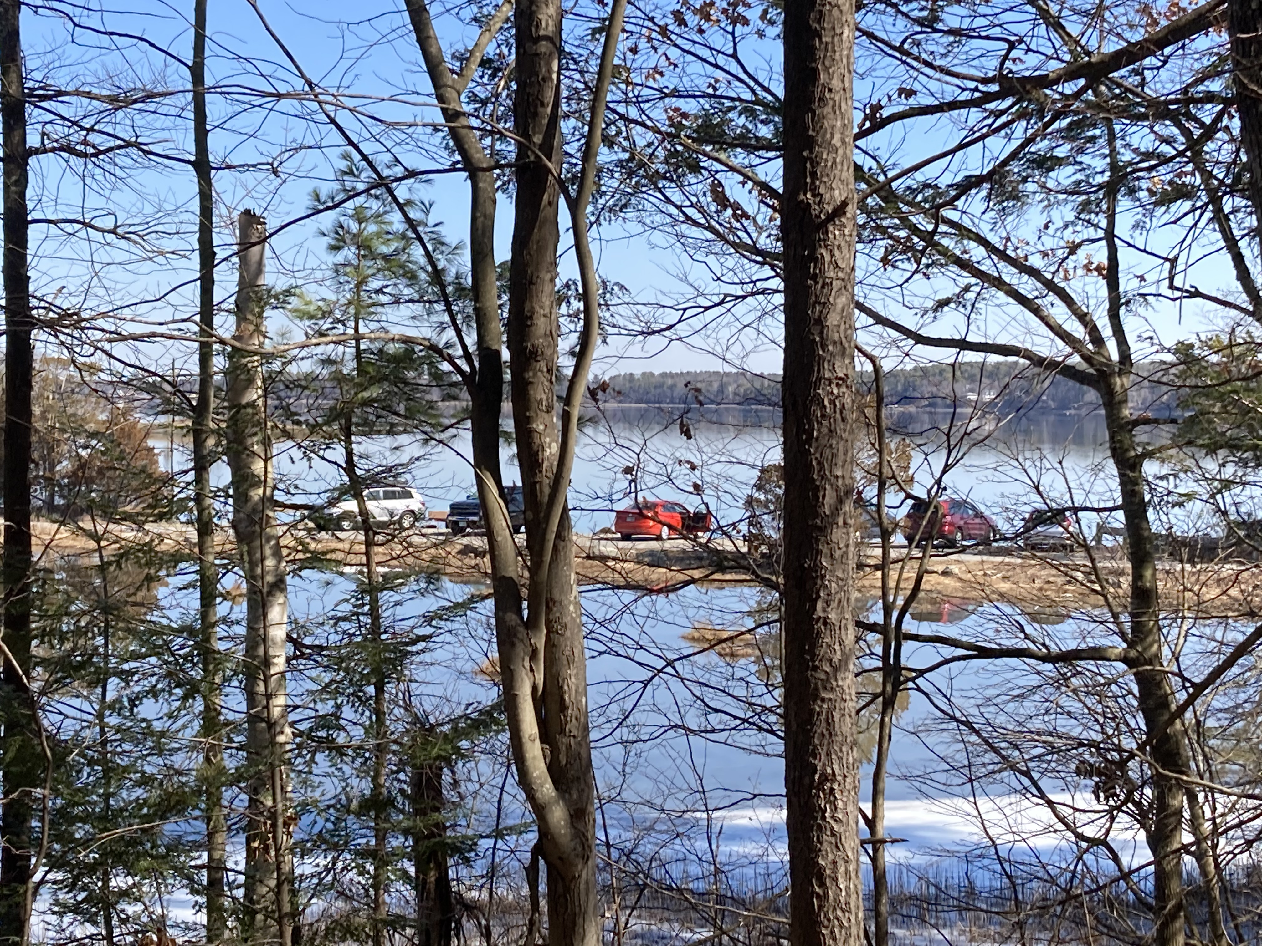
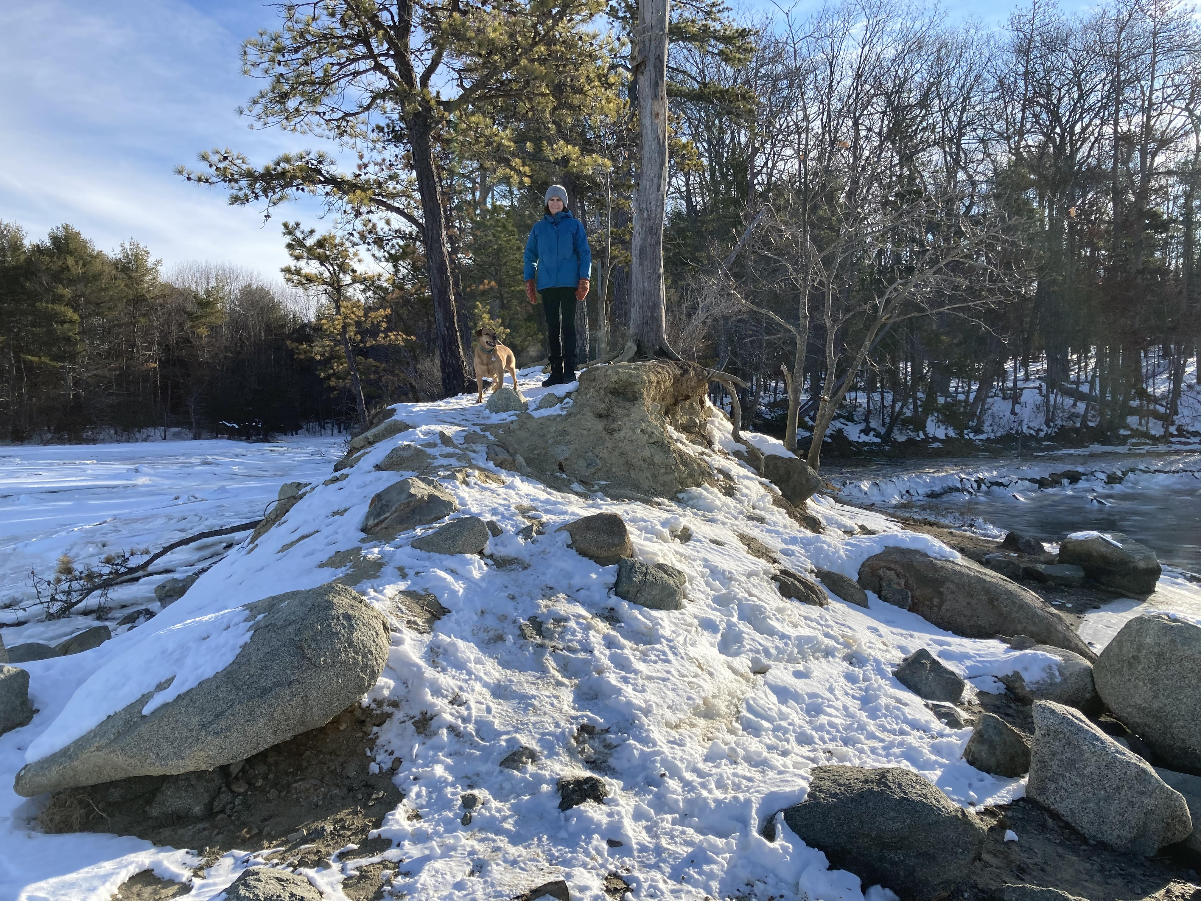
 From past walks, skis, and runs through the woods, we had a pretty good idea of our bearings. Today we started and ended at the NH Public Television station parking lot where we used to drop Zoe off for high school cross country practice. We passed the main crossroads at the center of the woods, in front of the dinner table-sized sign announcing the presence of a natural area. I always considered this the Grand Central Station of College Woods. Lots of people always seem to be coming and going to and from this semi-clearing.
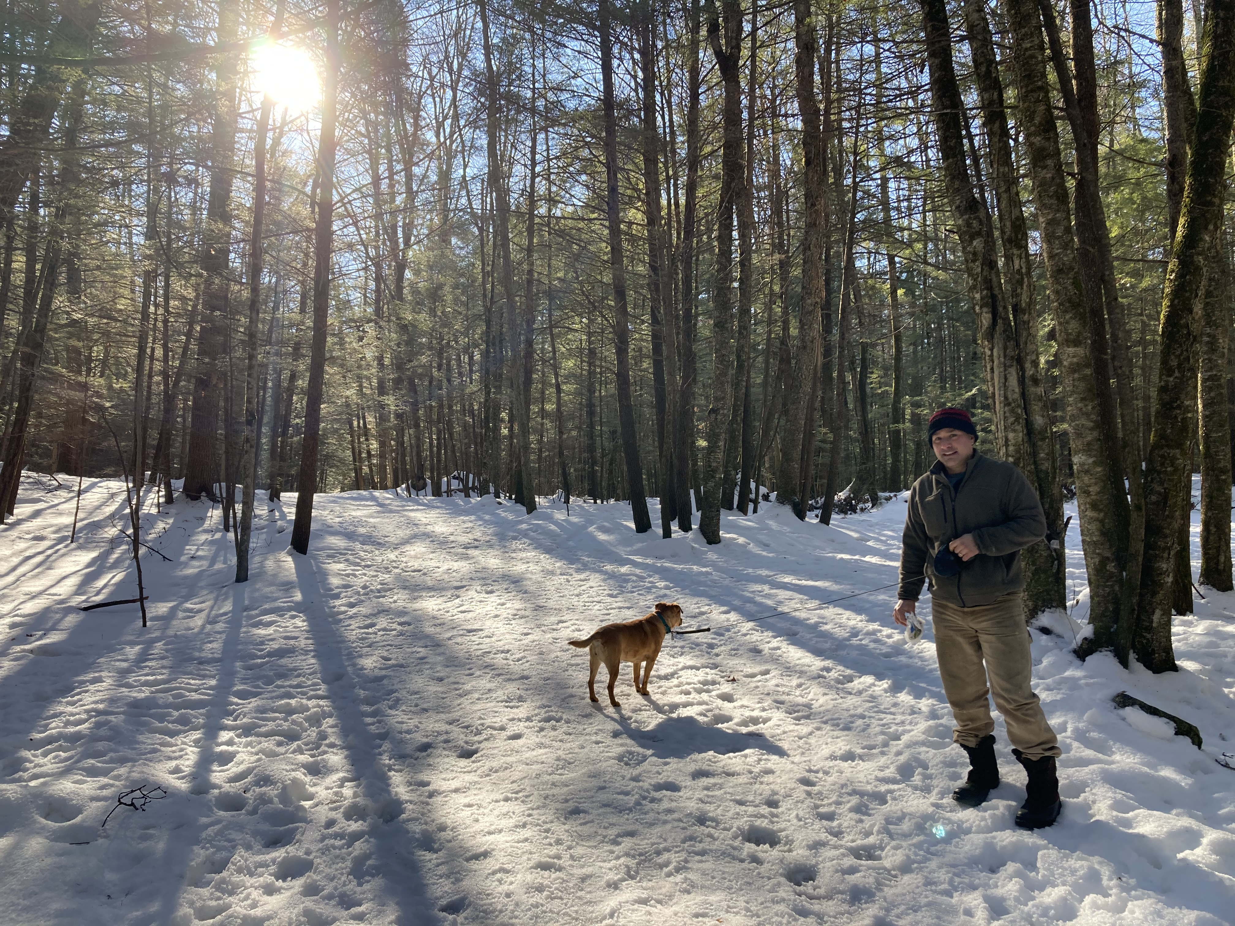
 Not today, though. We passed fellow dog walkers at either end of our walk and one runner who might have been a member of UNH’s womens cross country team, but no one else. Even the football stadium and adjacent athletic fields were empty.
 We made such good time and the trails were so pleasant that we decided to tack on an extra loop before we wrapped it up. Side trails wandered off sporadically. We will have to pay multiple visits to College Woods to cover the majority of its trails. Jen suggested we come back once a month, and that might be enough to keep the college students reading the blog.
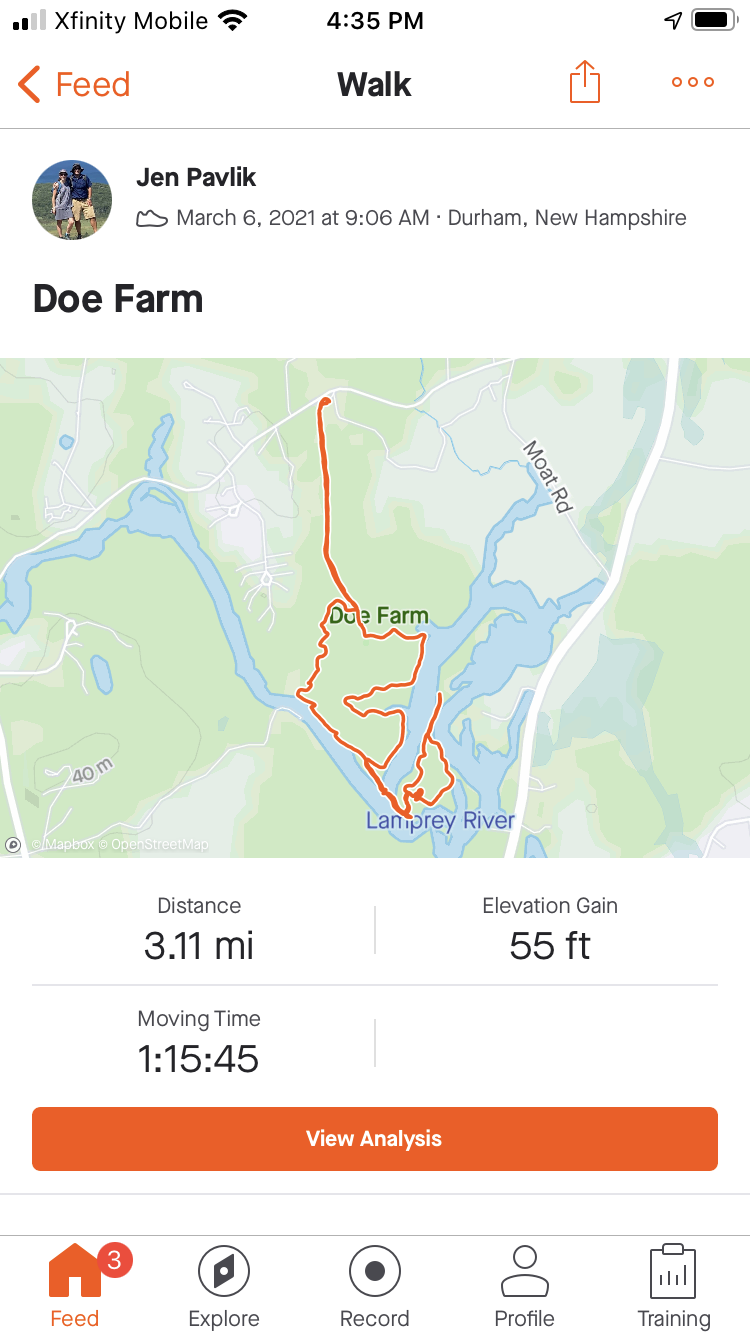
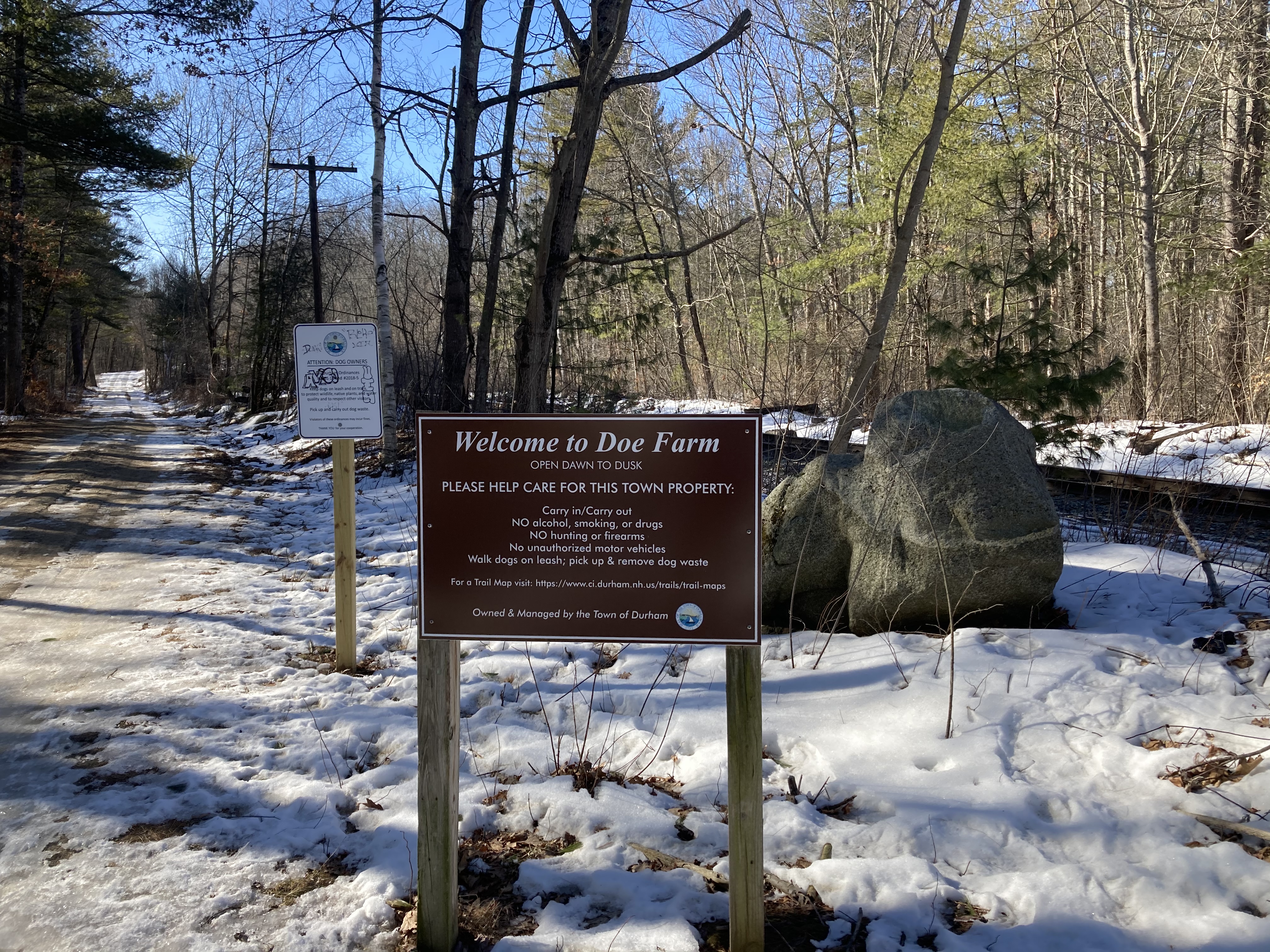
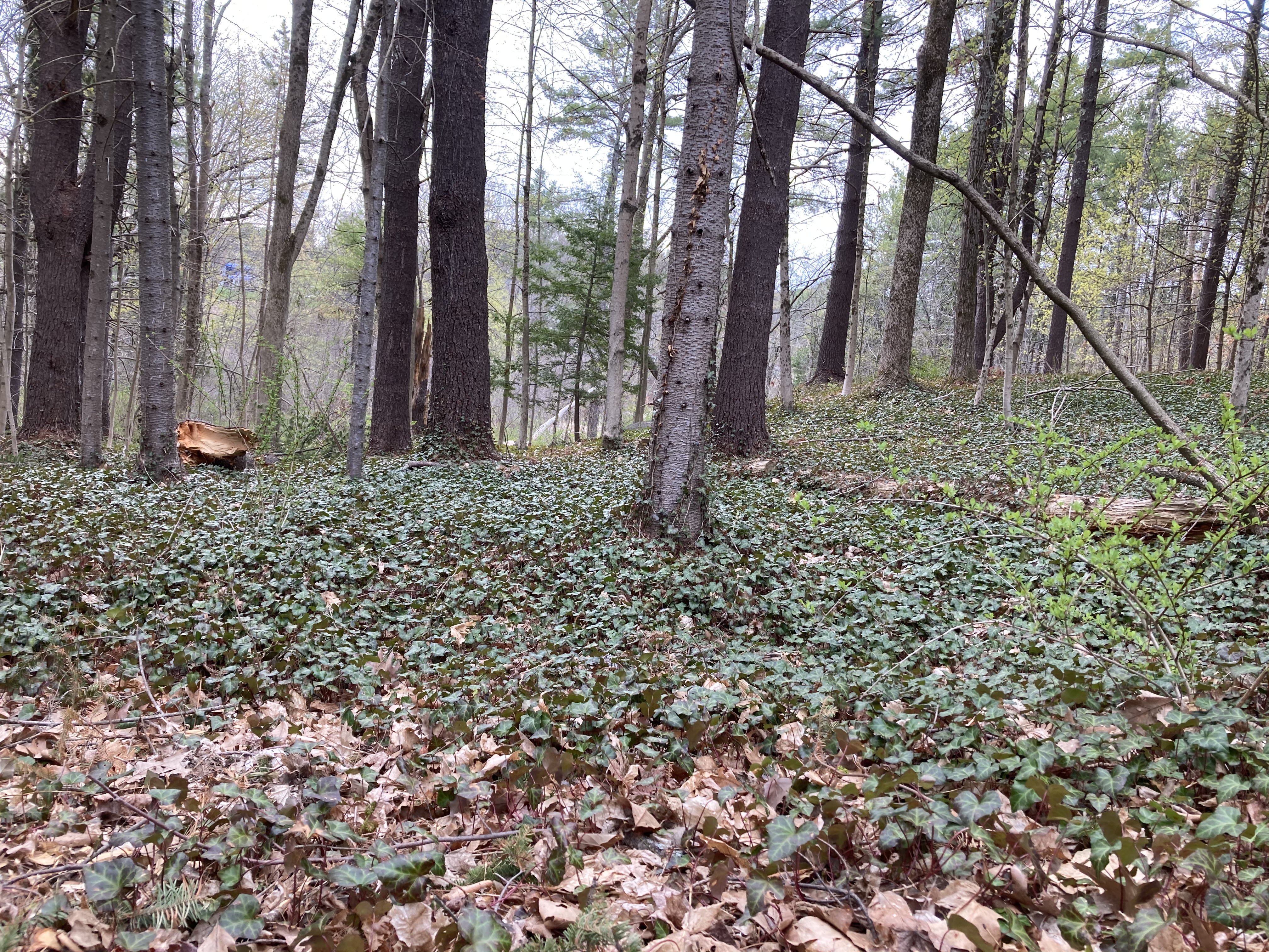
 Right now passage is easy, but mud season is coming. College Woods seems to be one of the less swampy trails, so it will be a good place in the spring and summer. It will very likely factor into our “Longest Continuous Hike in Durham” that we’re planning for sometime later this year. Right now it looks like we can walk from Doe Farm on Bennett across (on the proper trail) to Foss Farm, then cross Mill Road and enter College Woods, which should allow us to connect to the Spruce Bog Hole trails.
That sounds like a nice day of walking doesn’t it? If we can tack anything onto that basic framwork, we shall. Stay tuned to the blog for more details.
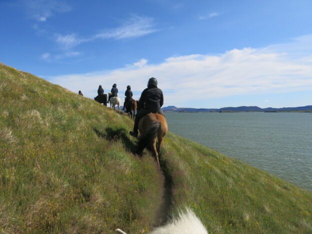
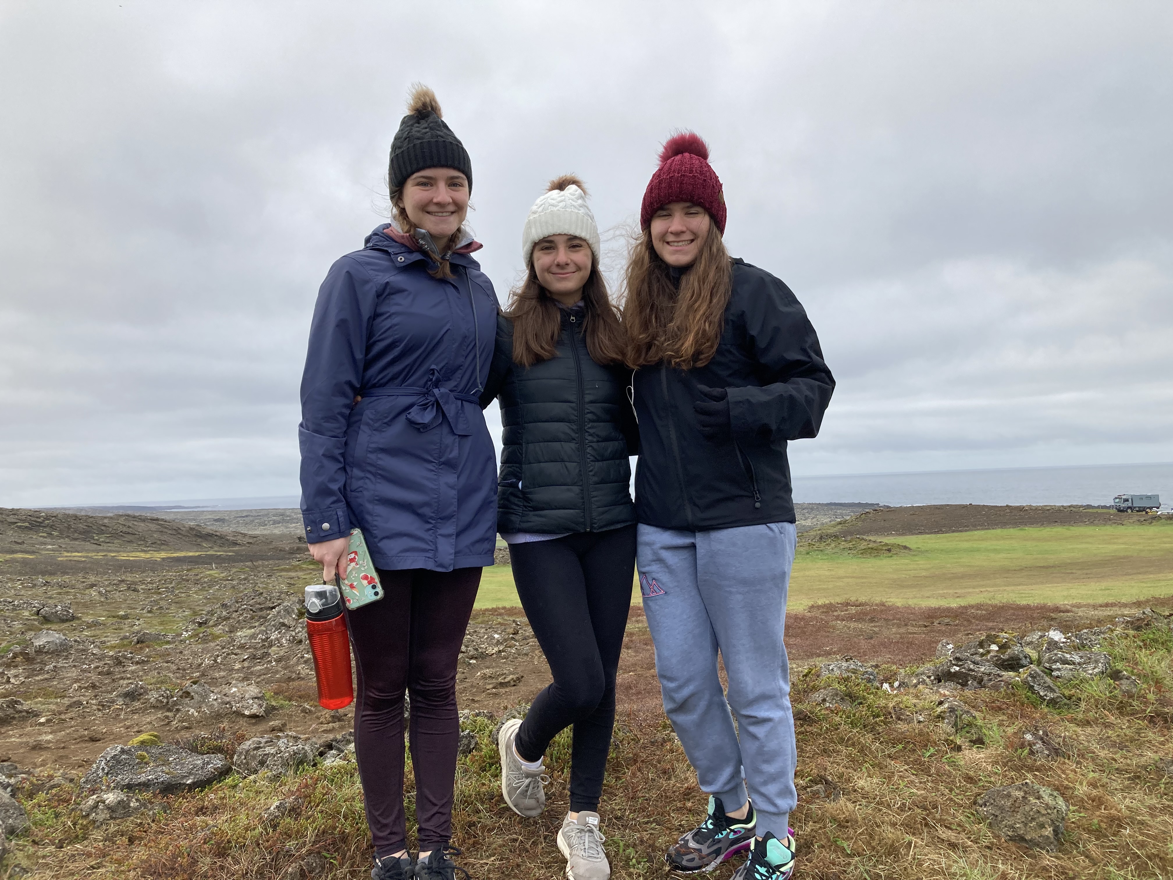
 As Bob mentioned yesterday, we ended up canceling our 4 pm horseback ride due to the rain (which my iPhone told me was going to last for hours, but which actually cleared up about two minutes after I made the phone call). All was not lost, however, because we had a little extra time this morning and were able to squeeze in a 10 am ride before hitting the road.
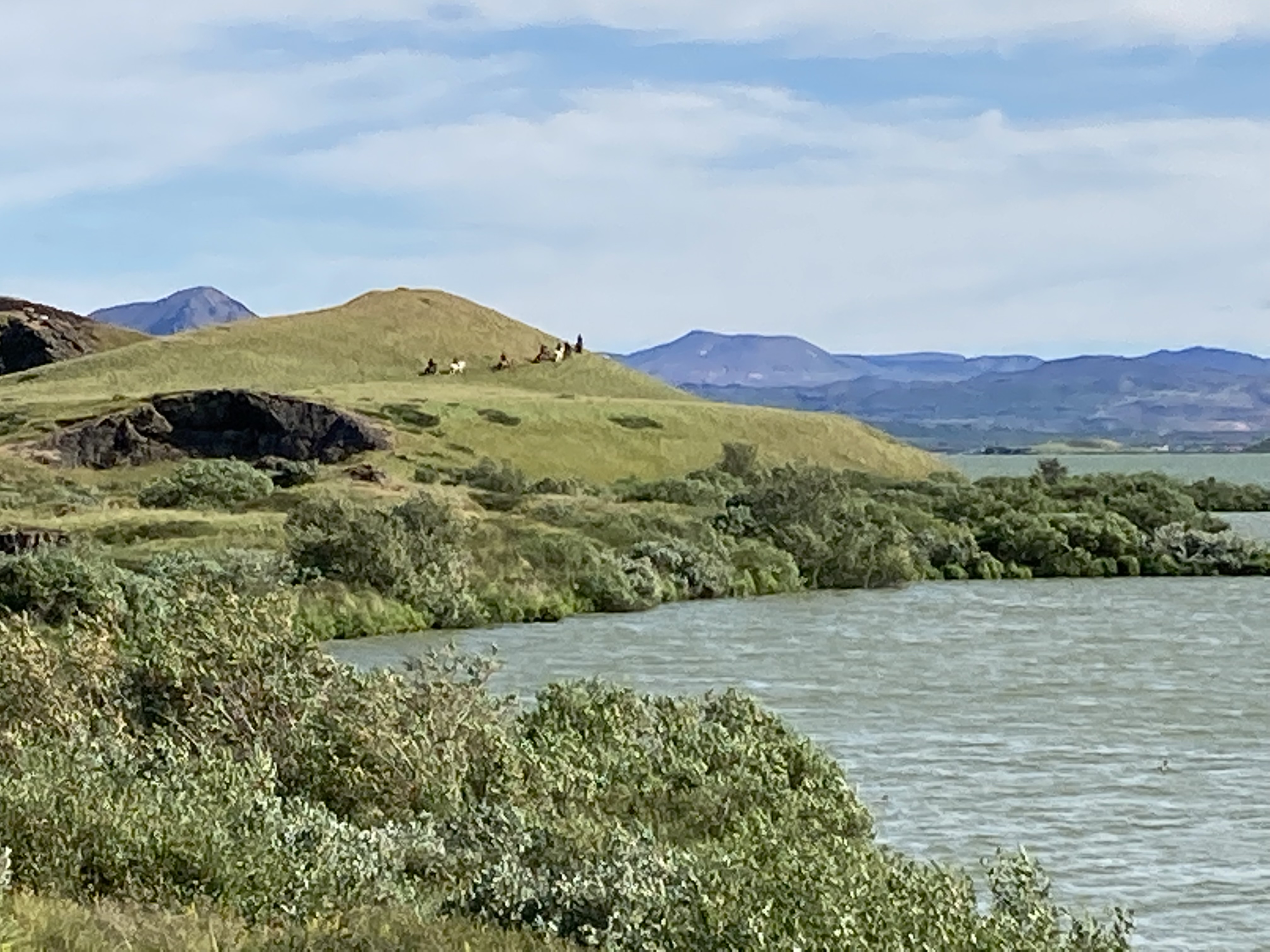
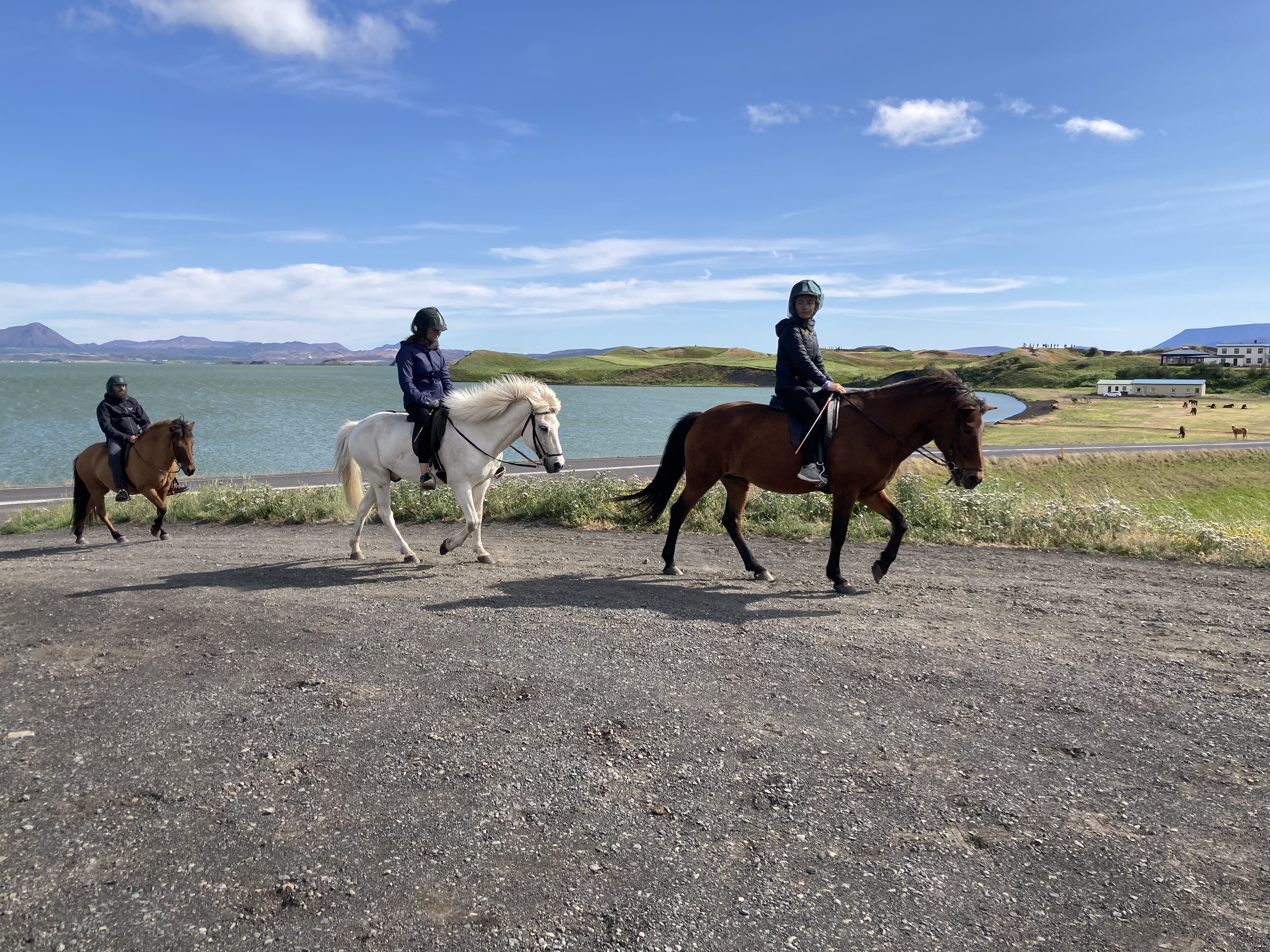
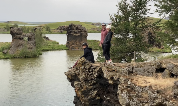
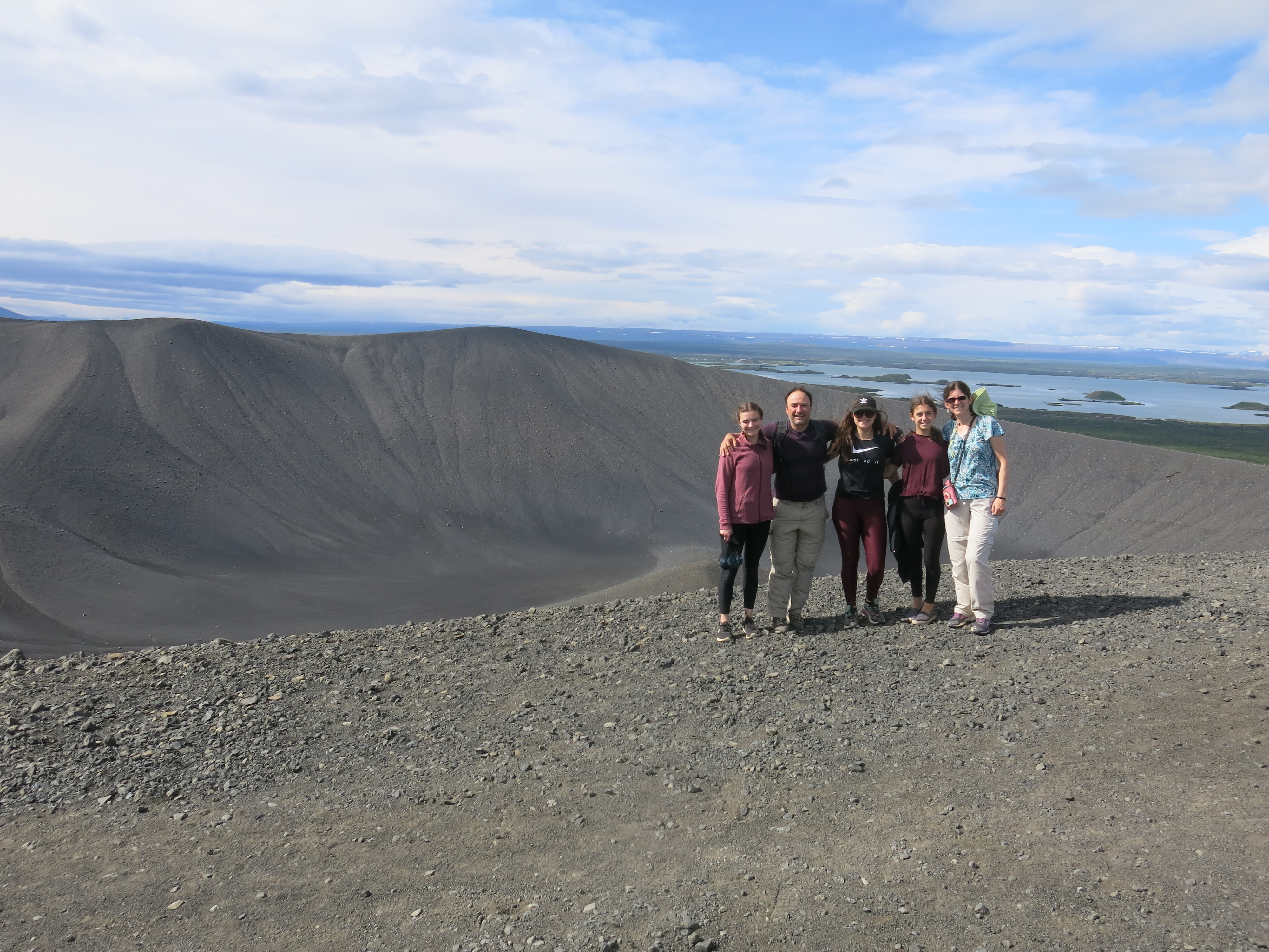
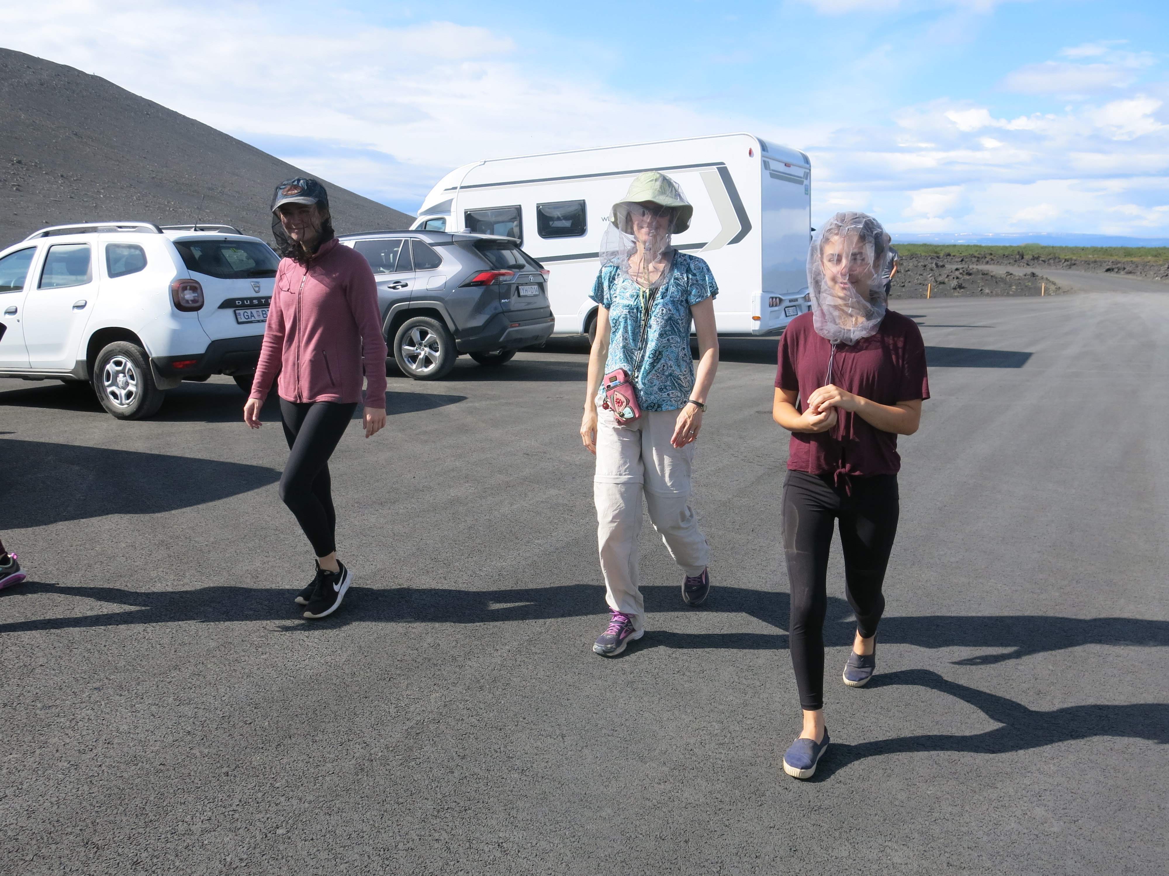
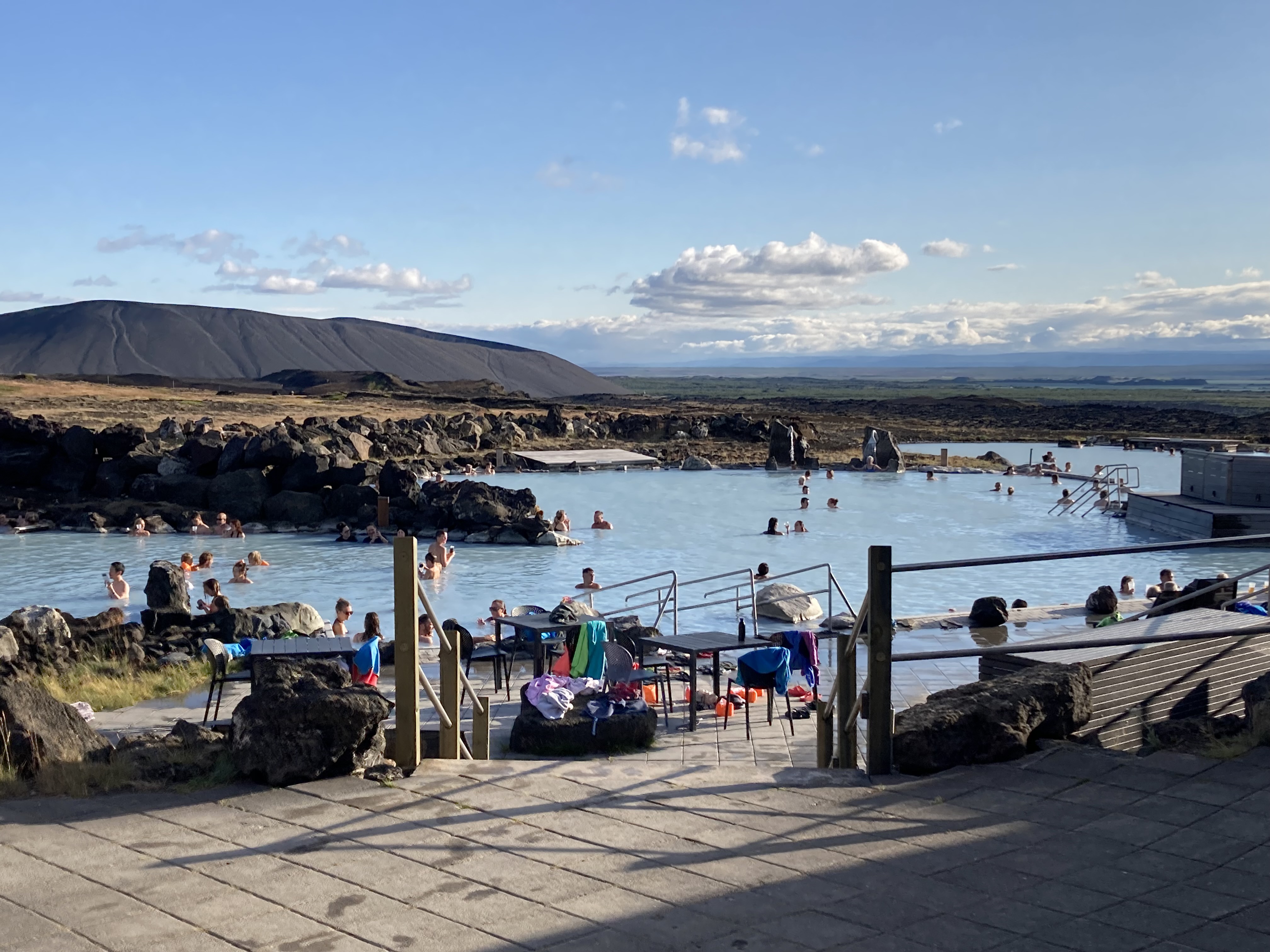
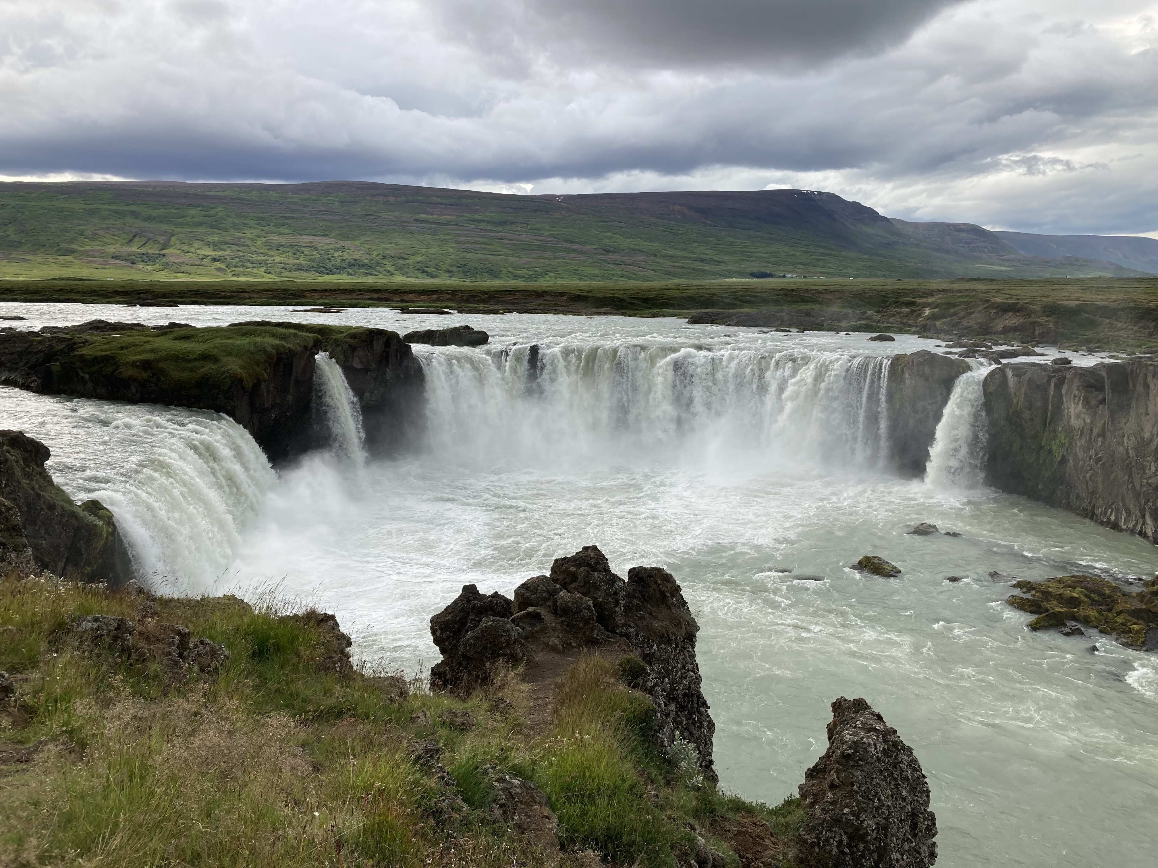
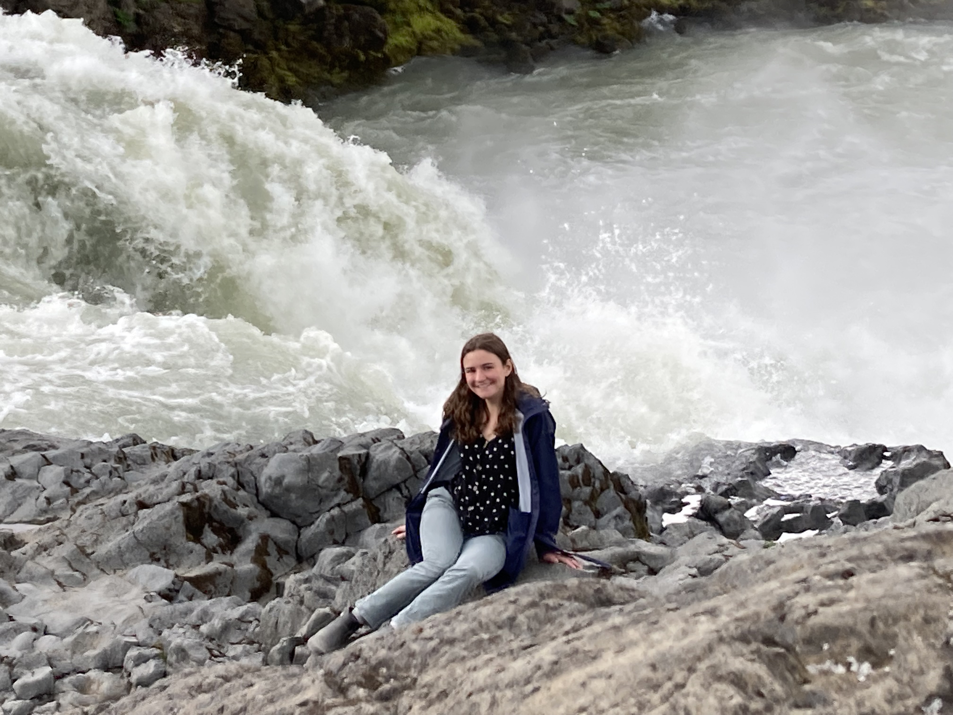
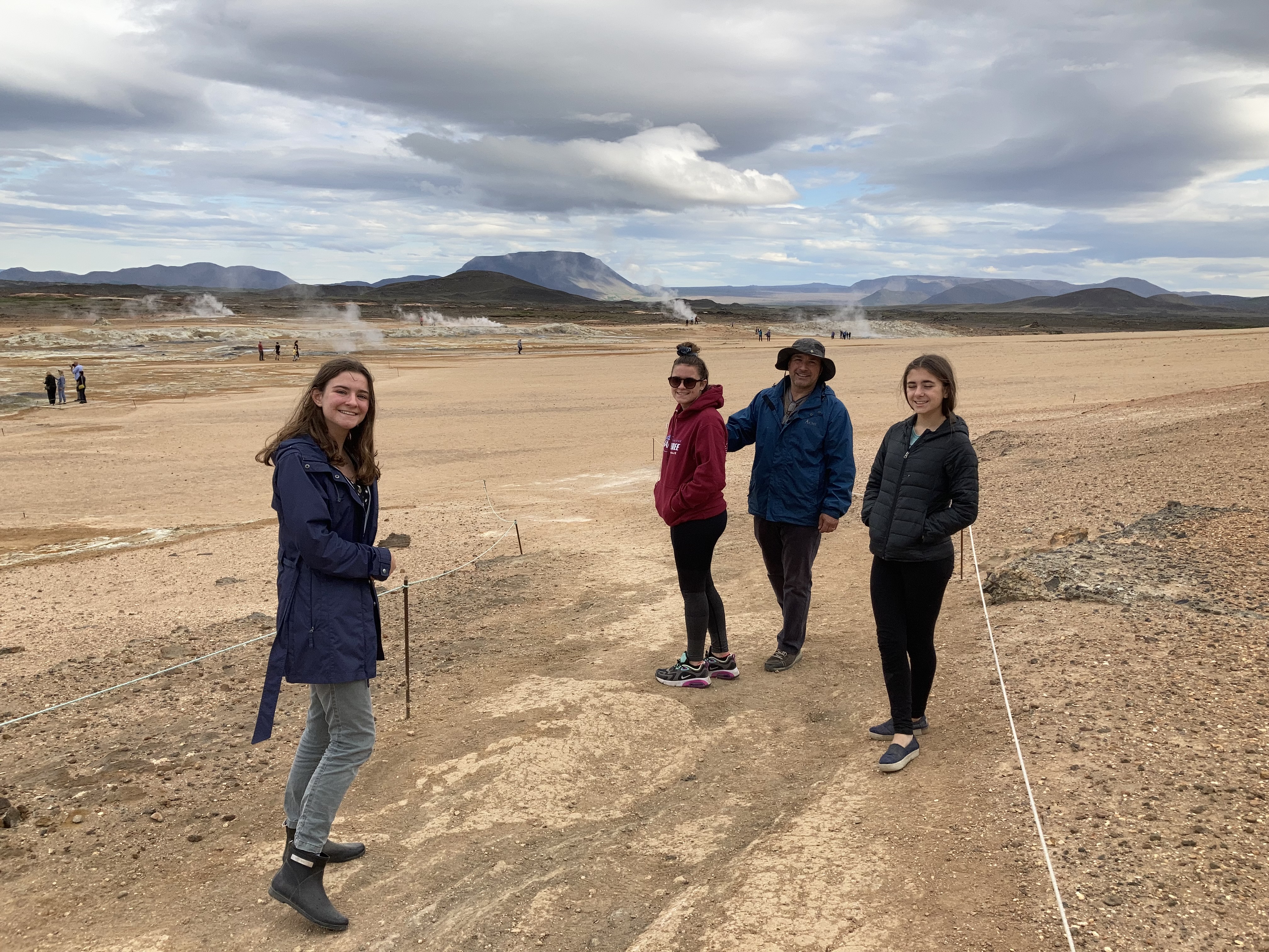
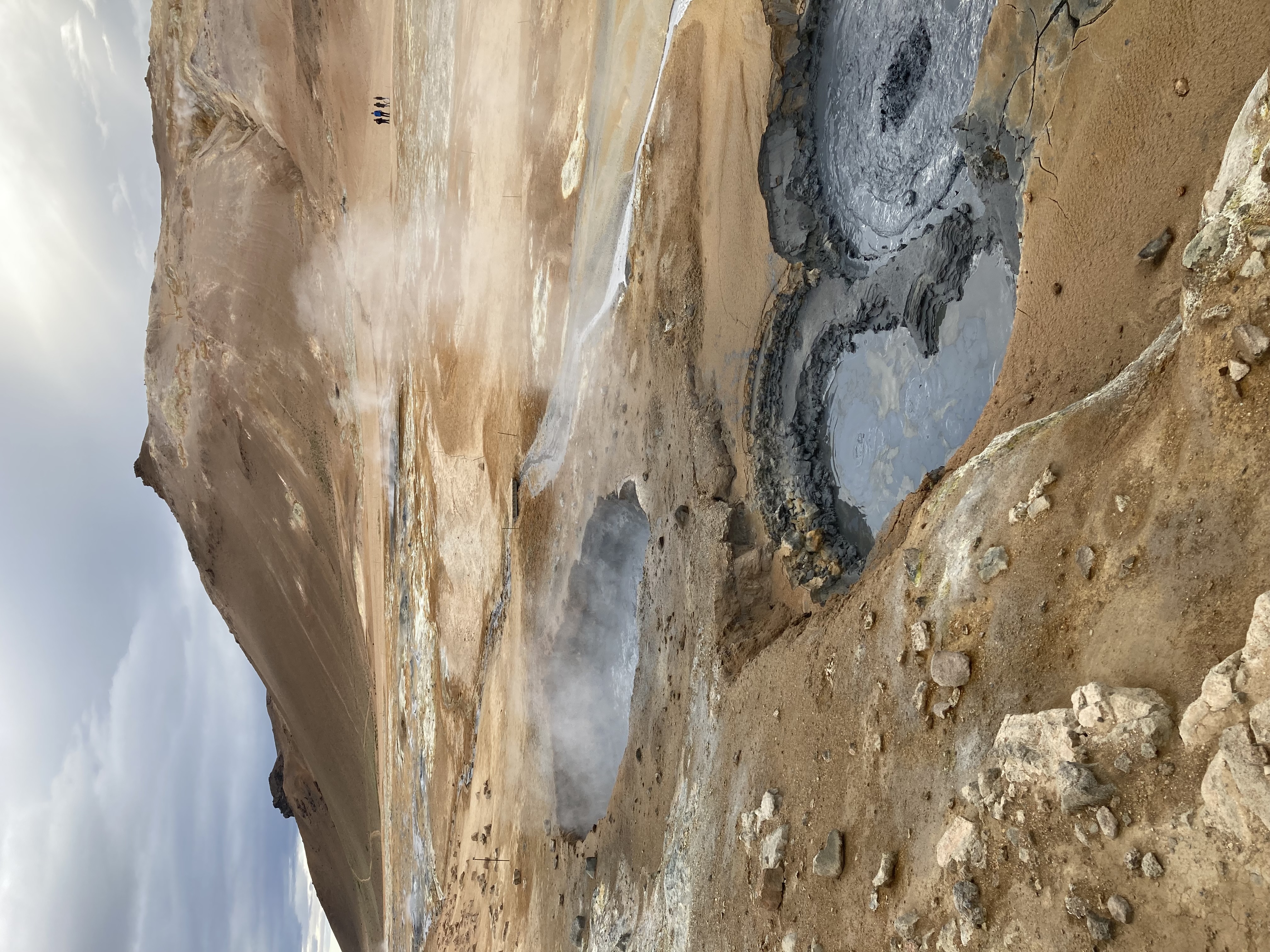
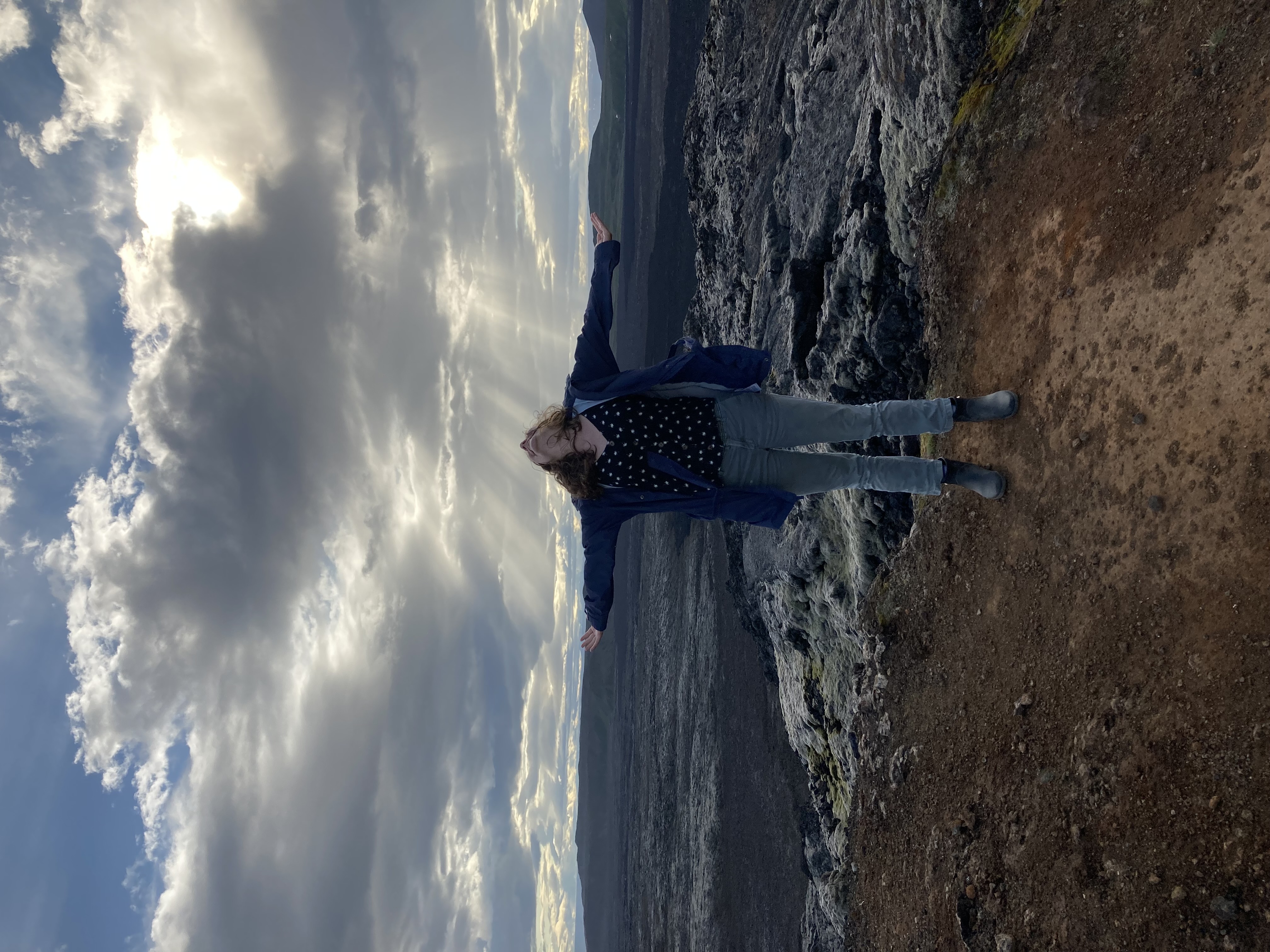
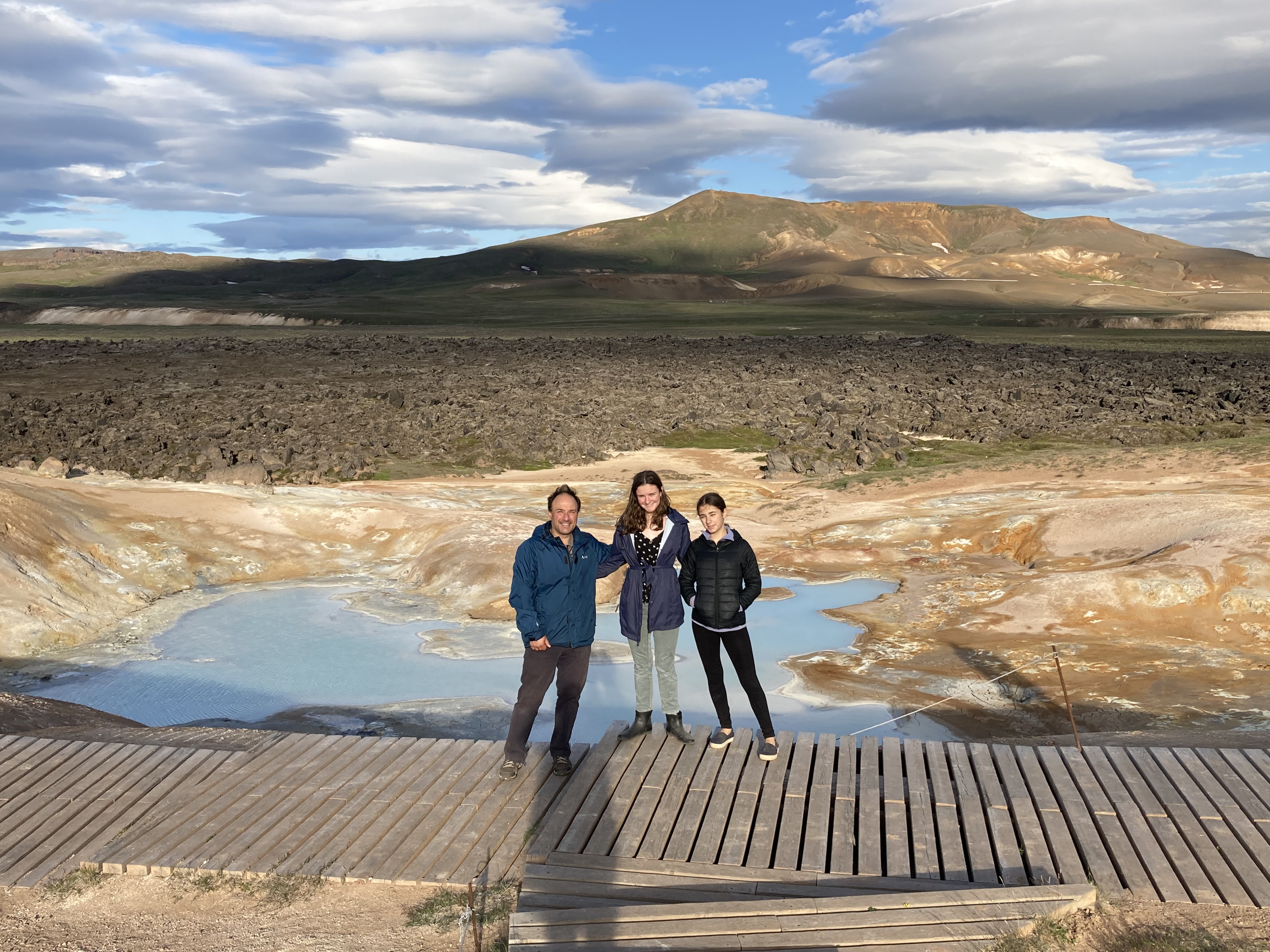
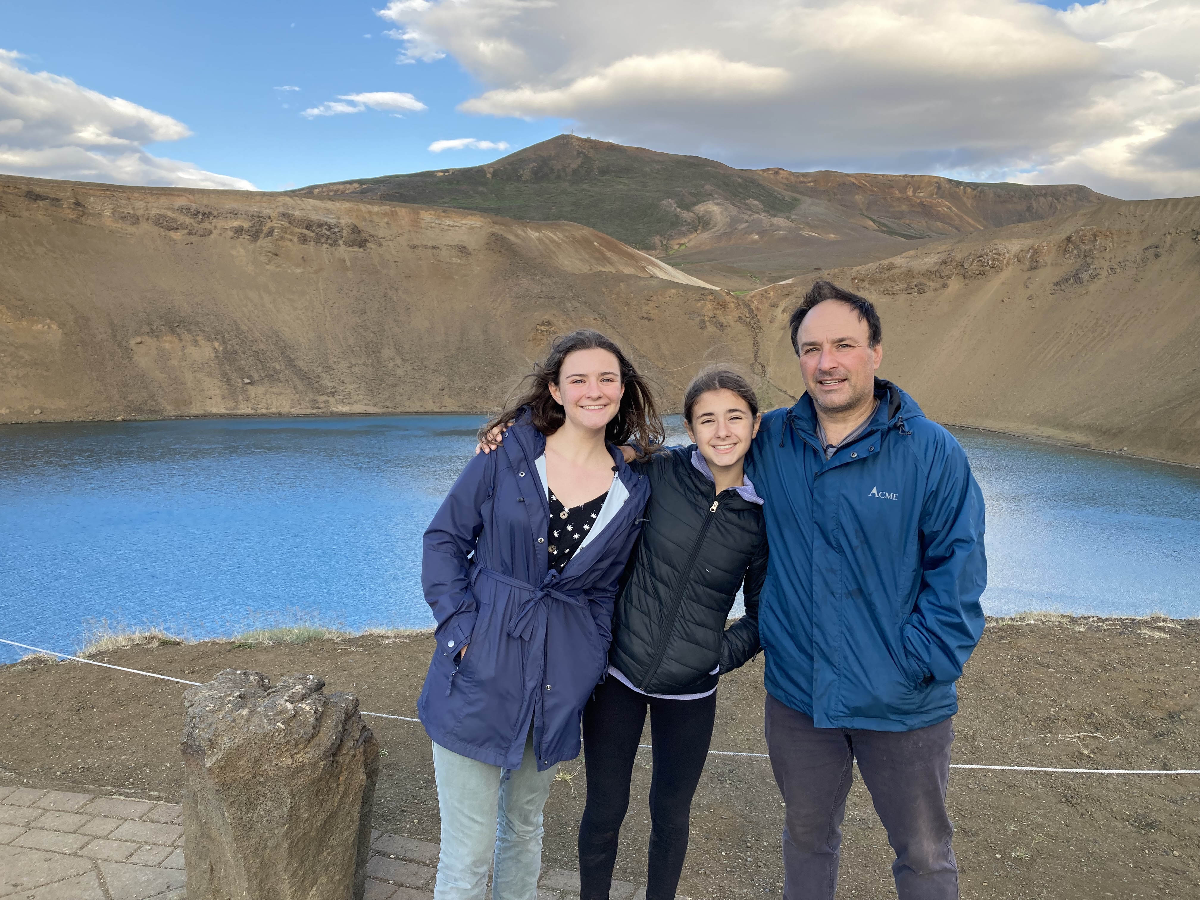
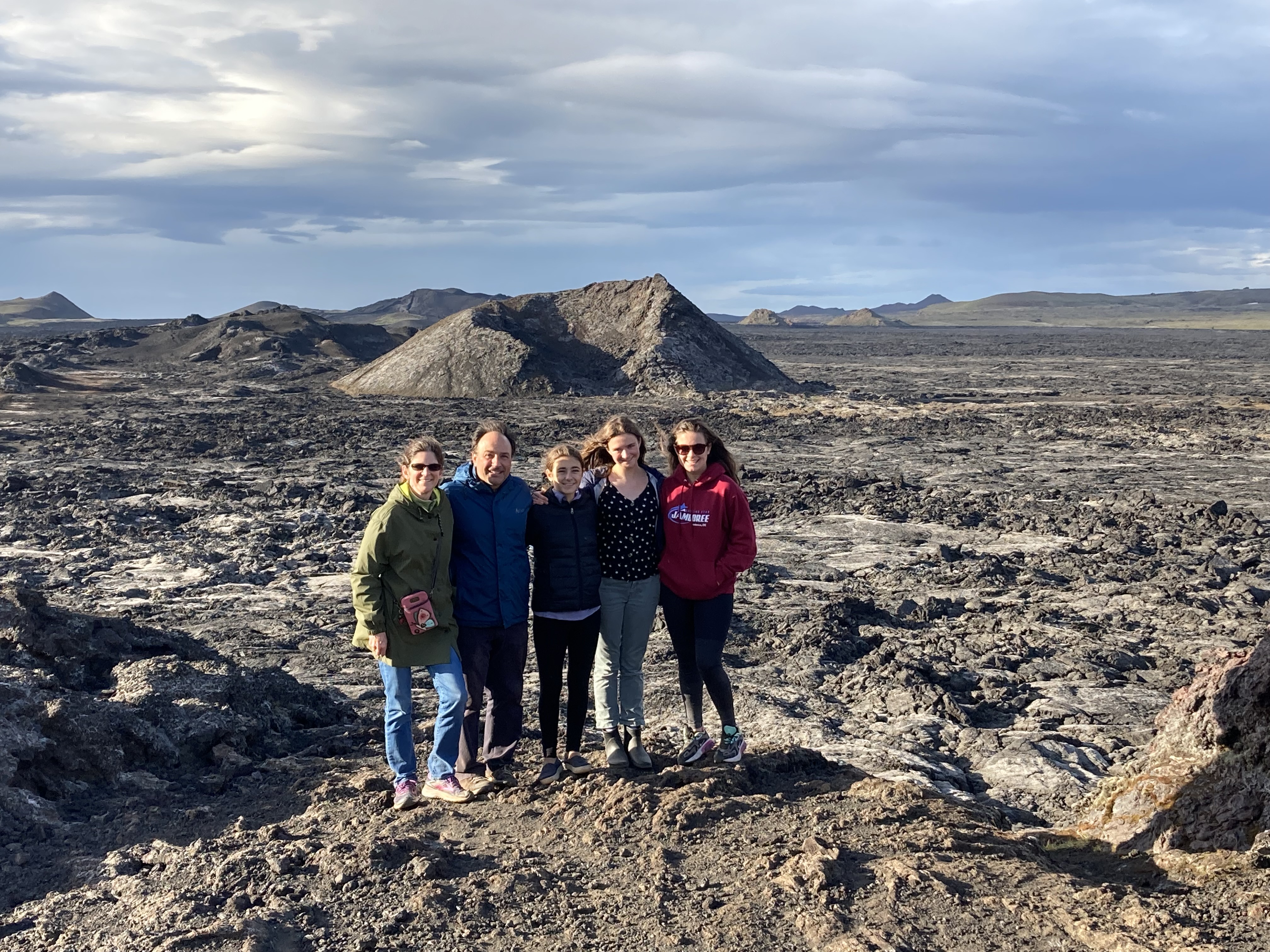
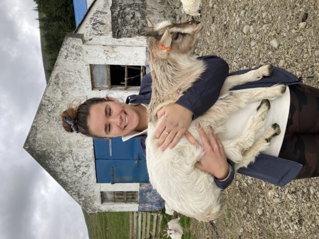
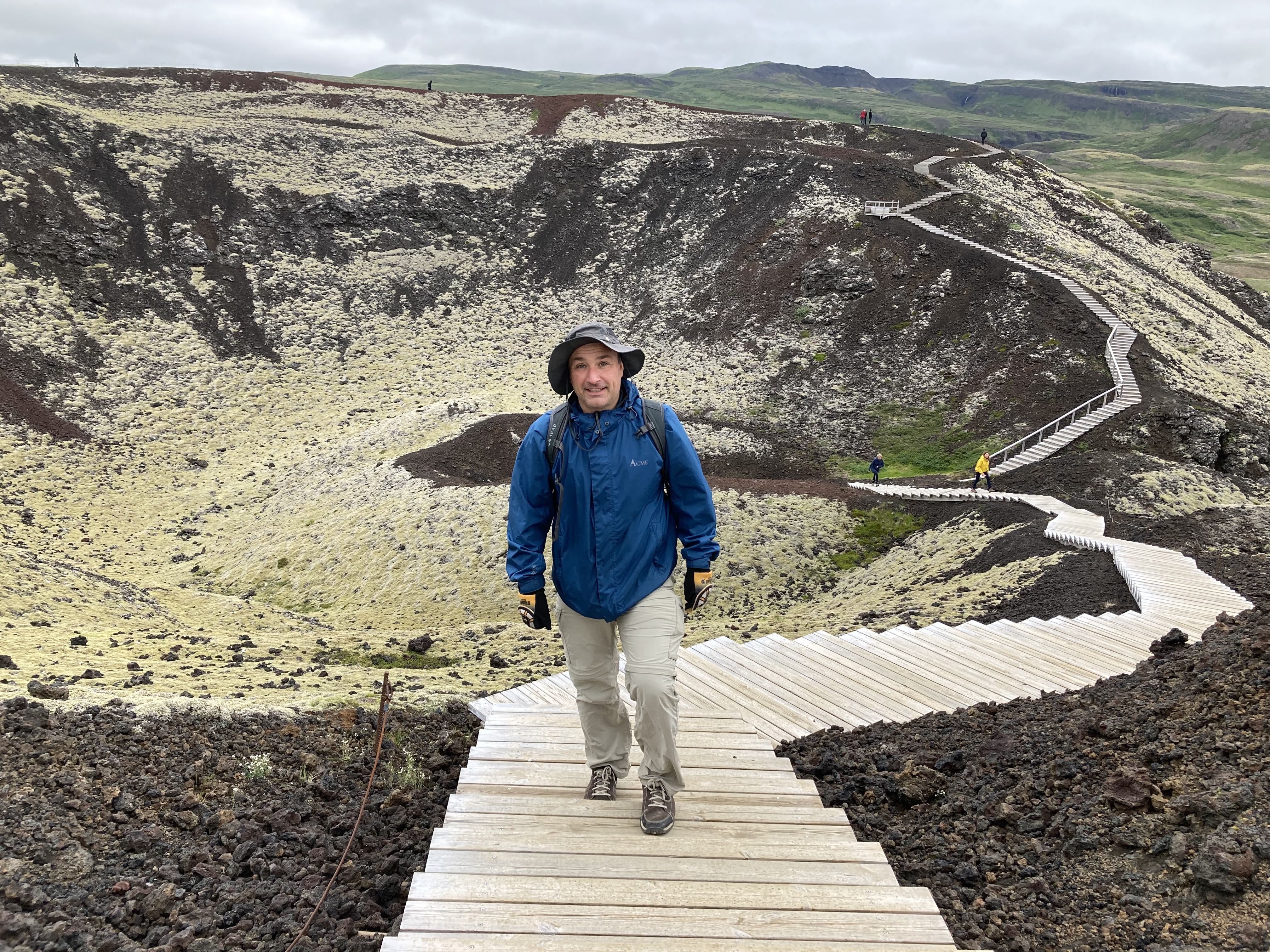
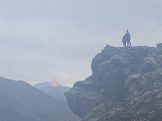
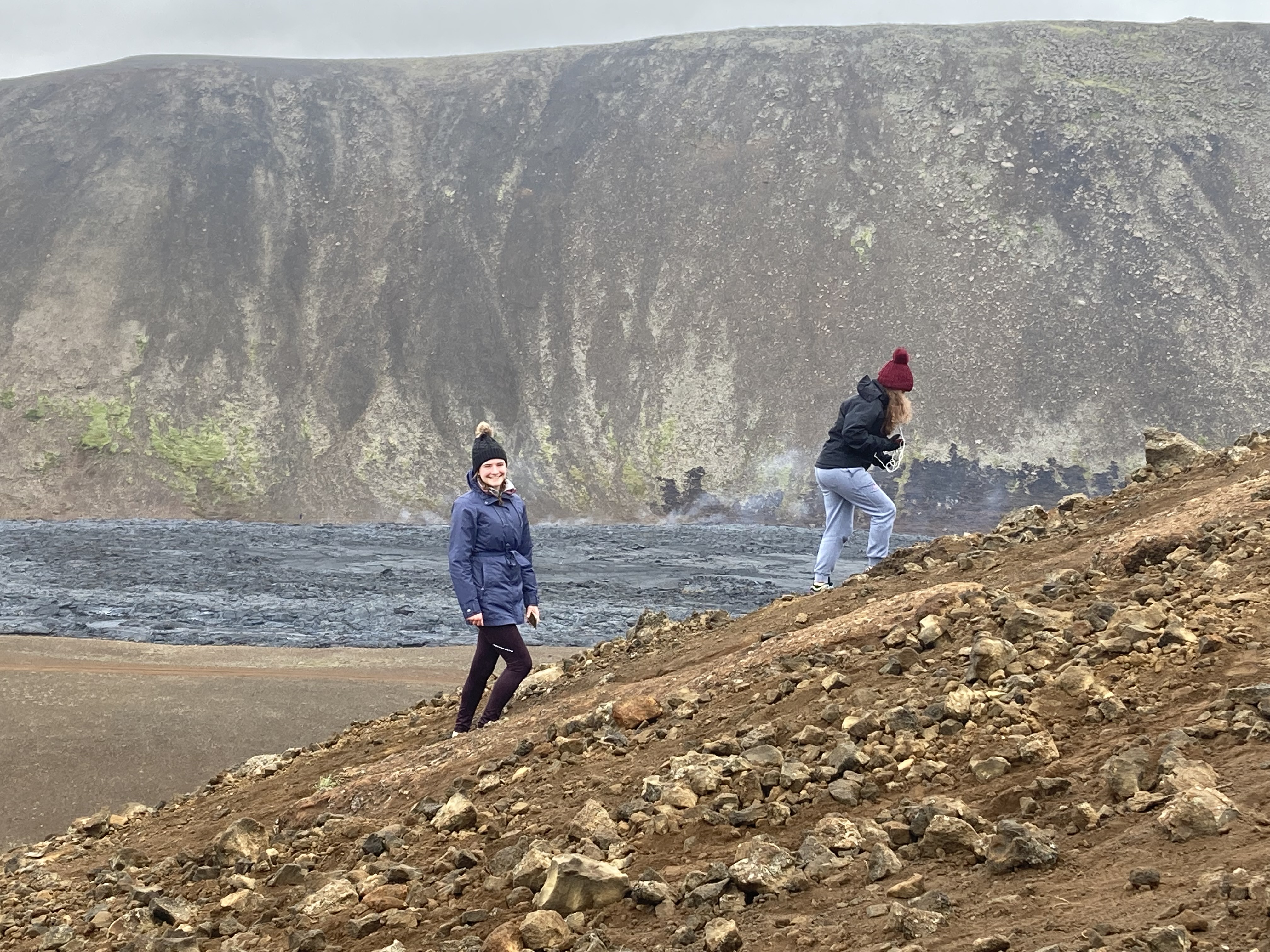
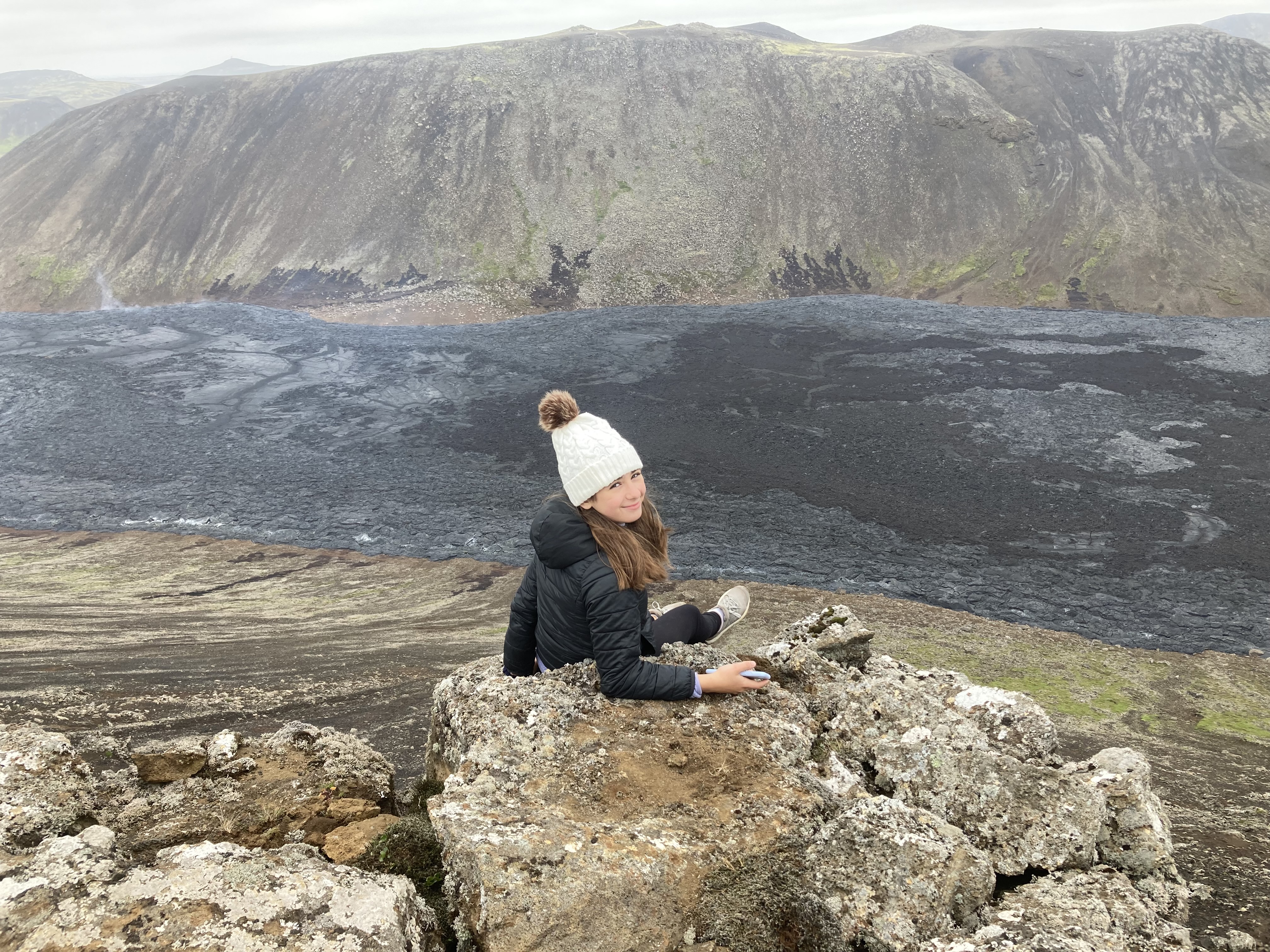
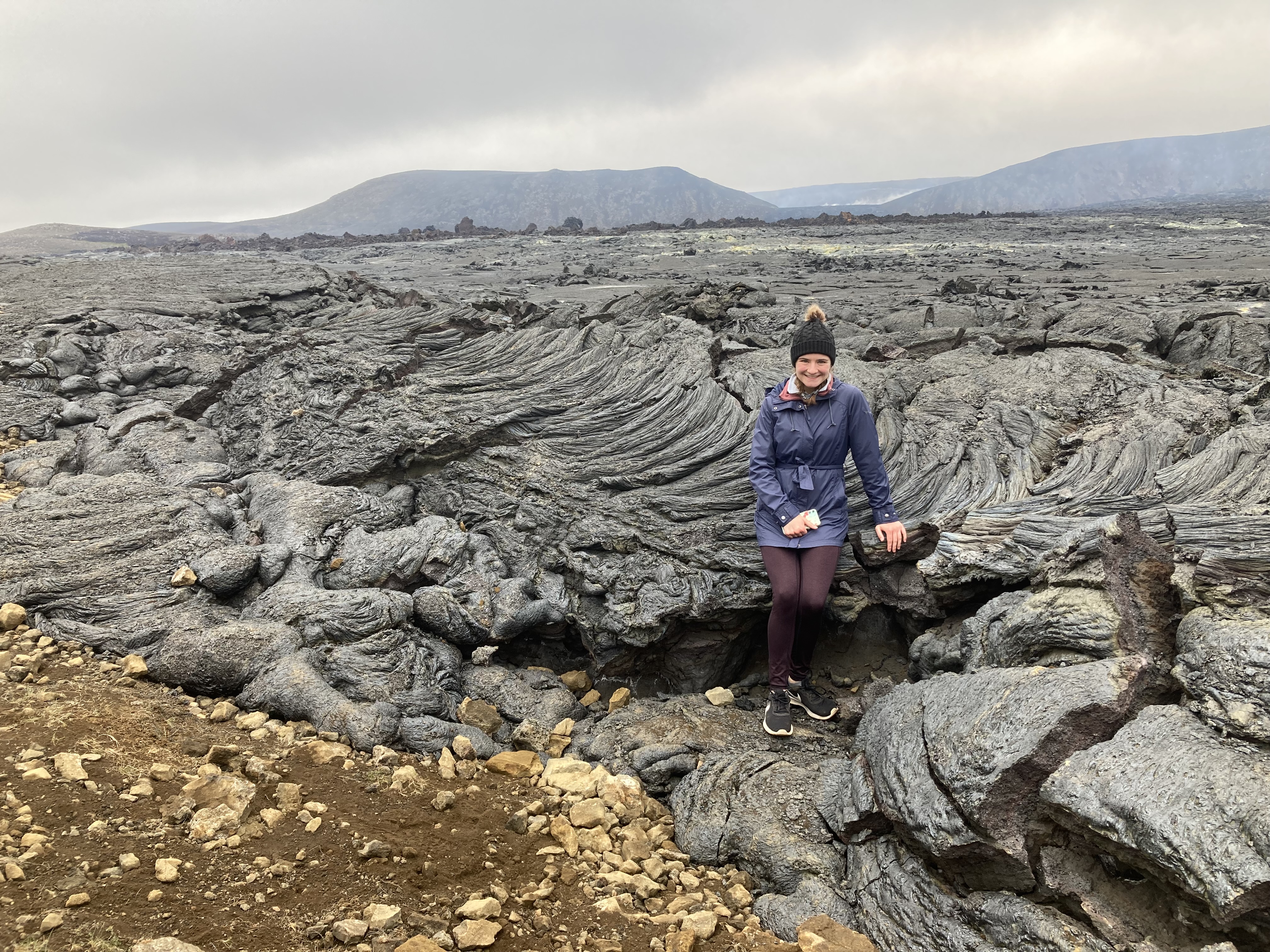
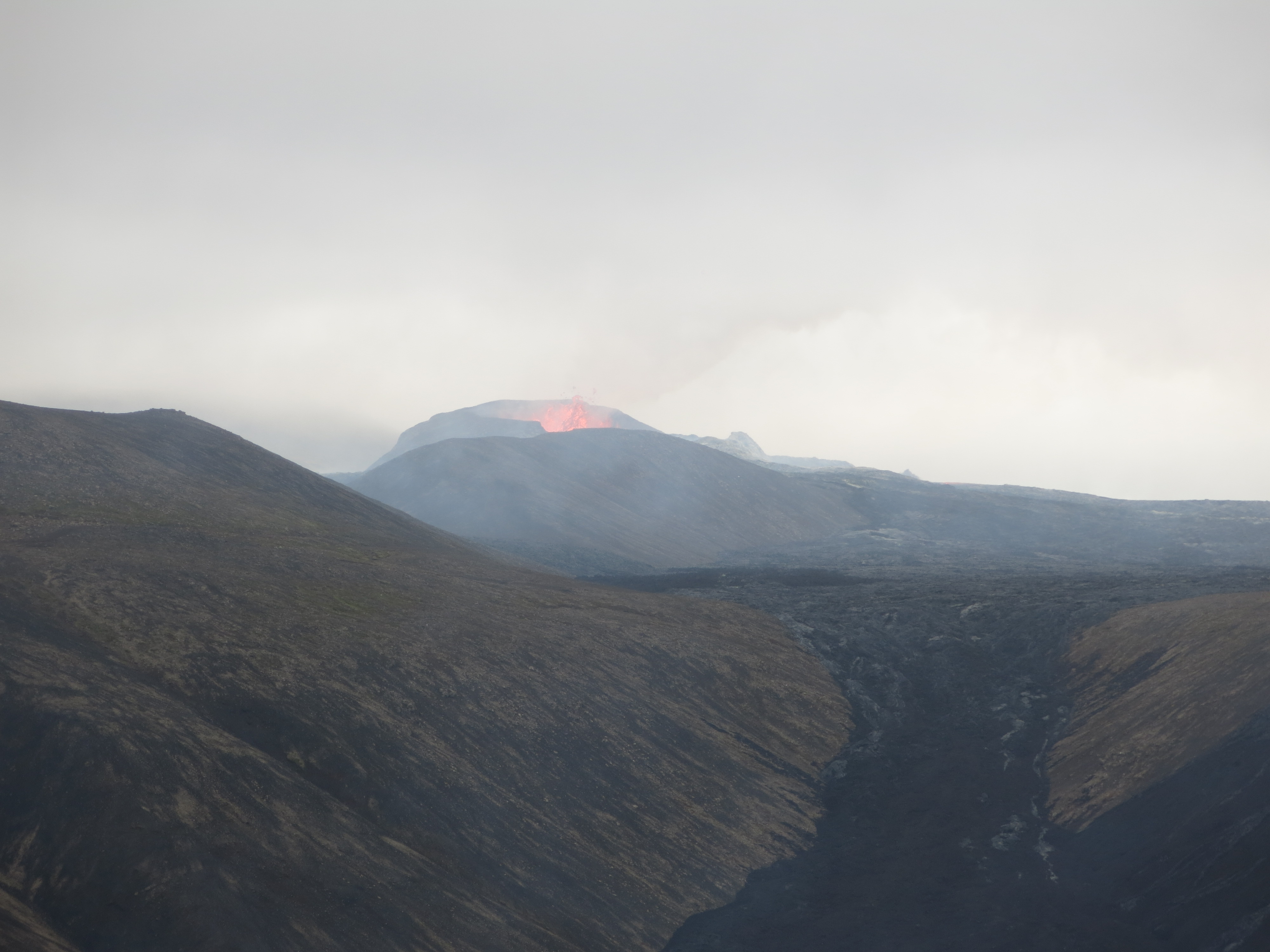
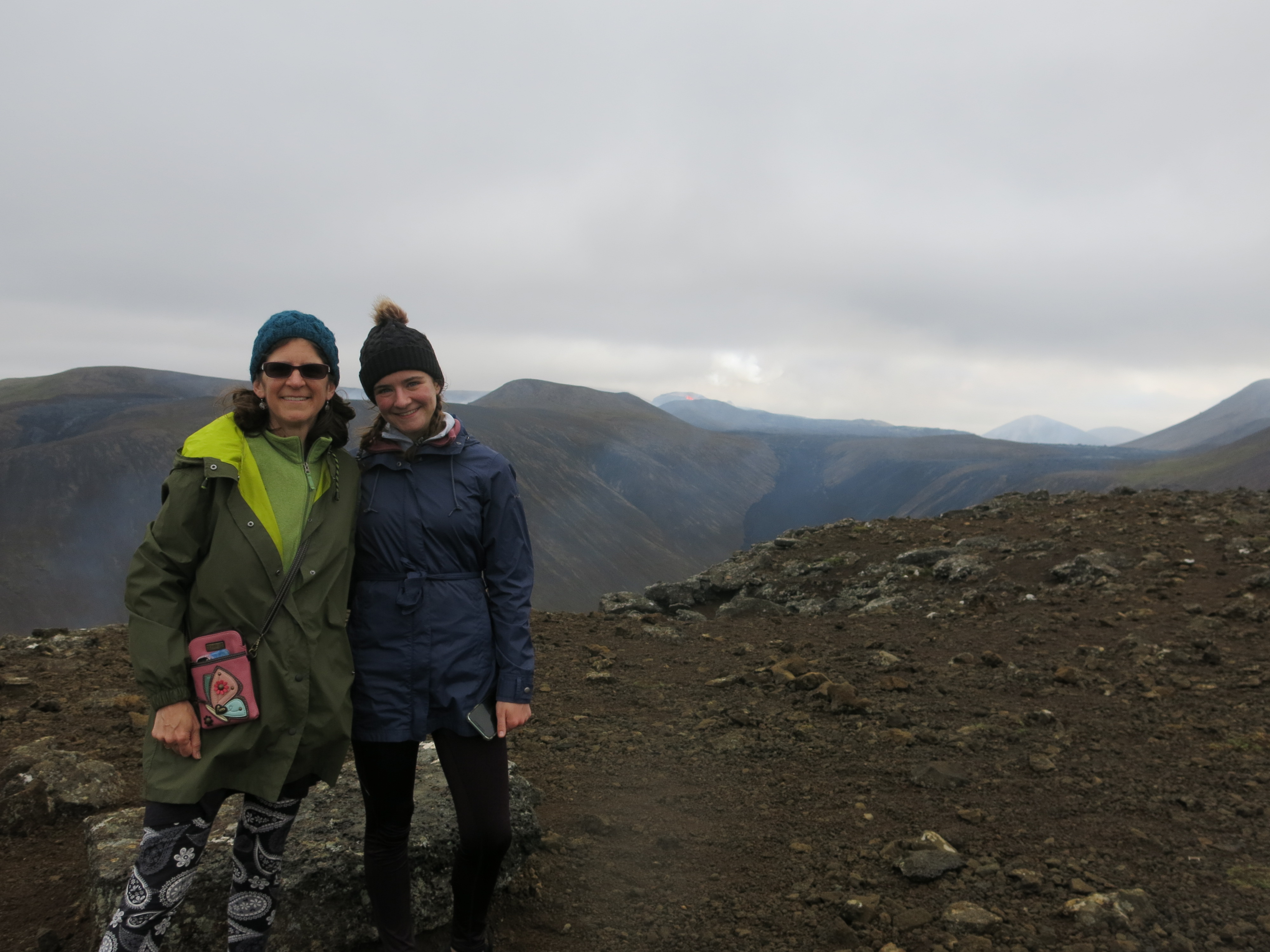
 Bob elected to skip this one, which was probably for the best. We meandered through stunning scenery, until we rounded a bend and found ourselves right on the edge of the lake — or, I should say, quite a long ways above the lake, with a very narrow path and a sheer drop off to our right. Our guide told us we were riding on the edge of a pseudocrater, which is a large, round bump that was formed long ago by bubbles in lava flows. Nadia and I were both very concerned
 We were also supposed to experience the “tolt”, which is a special gait unique to Icelandic horses. It’s kind of like a trot but supposedly much smoother and more comfortable for riding. I was very skeptical about this, because I found it plenty bumpy, but the kids later told me that my horse was rebelliously trotting rather than doing the tolt. Between the cliff ride and the trotting, I spent most of the ride holding onto the saddle with both hands like grim death.
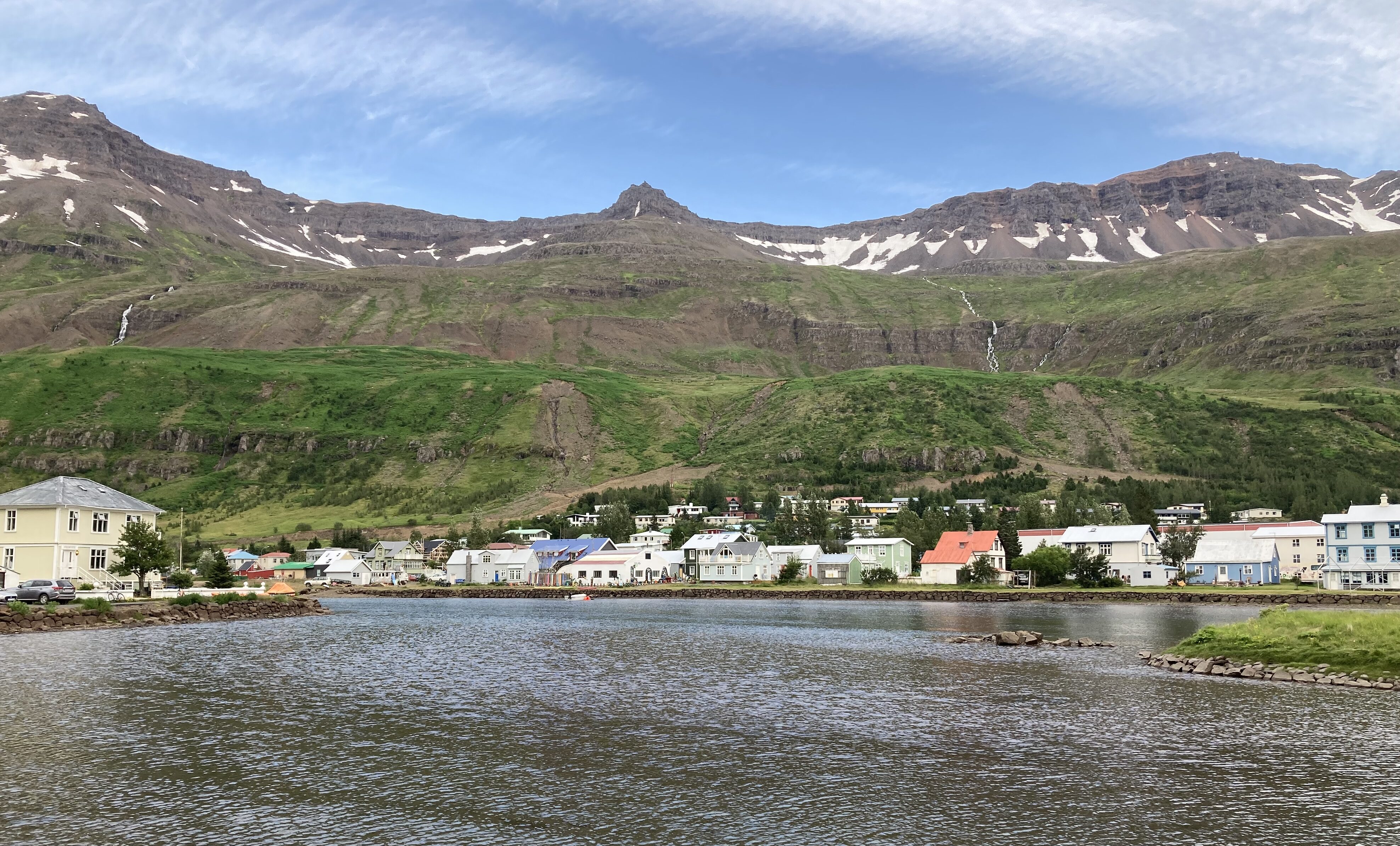
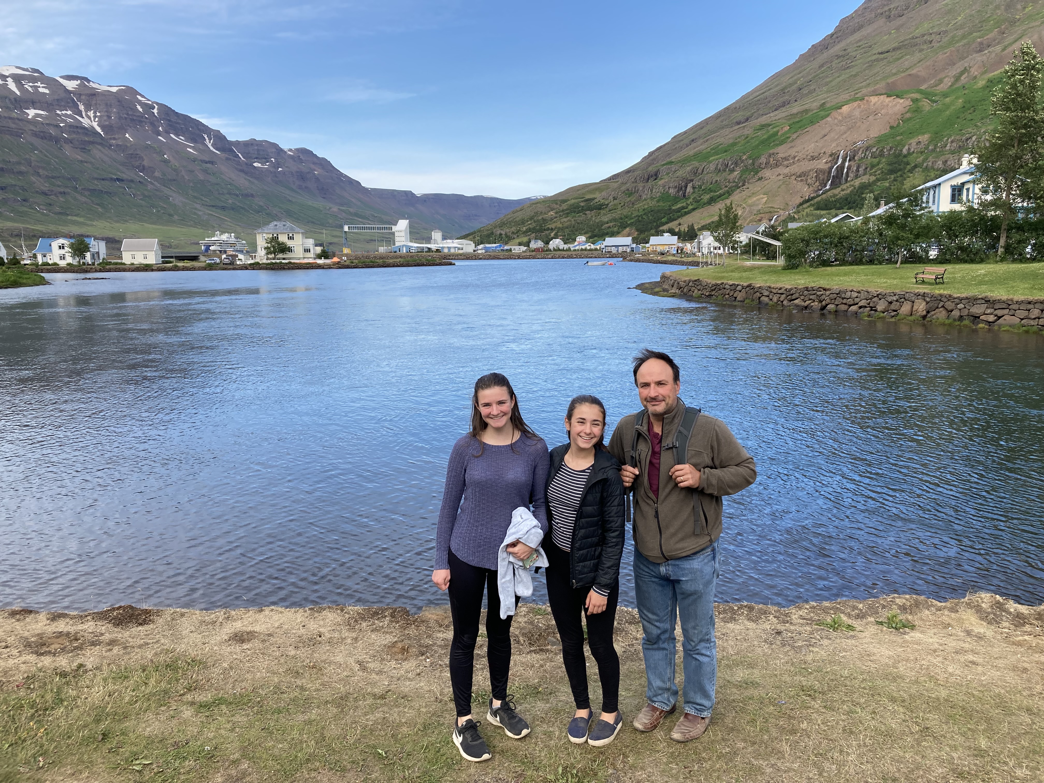
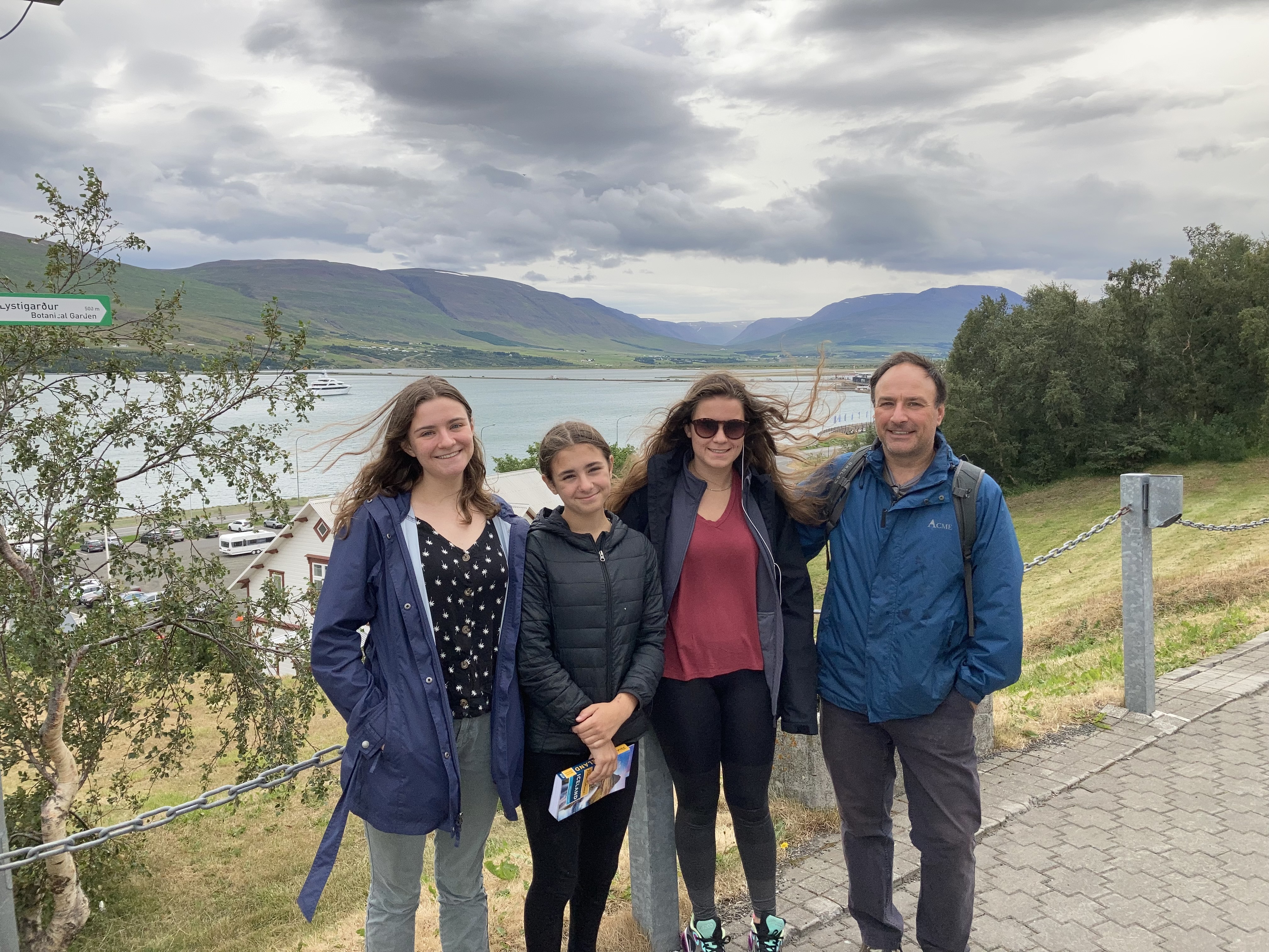
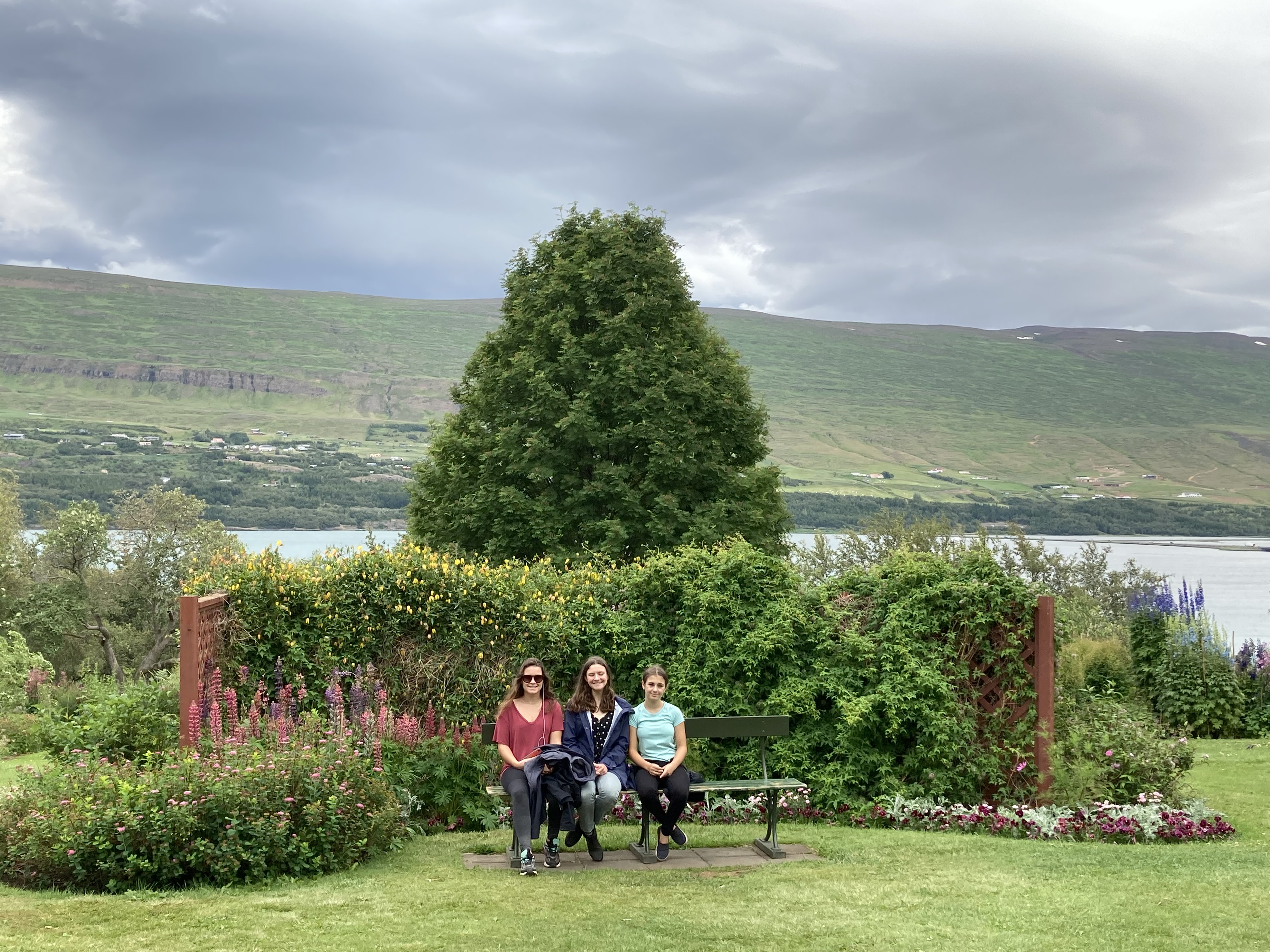
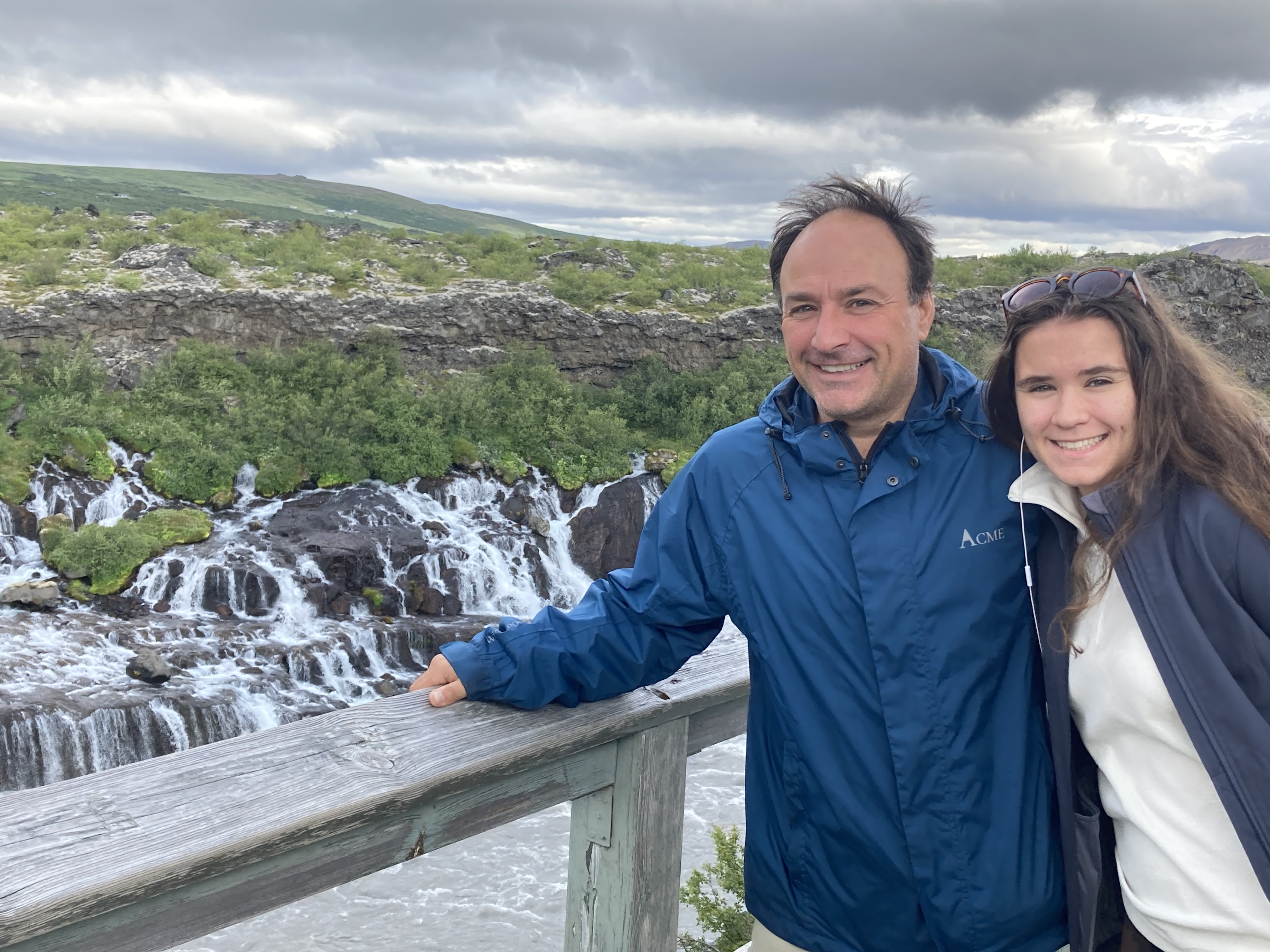
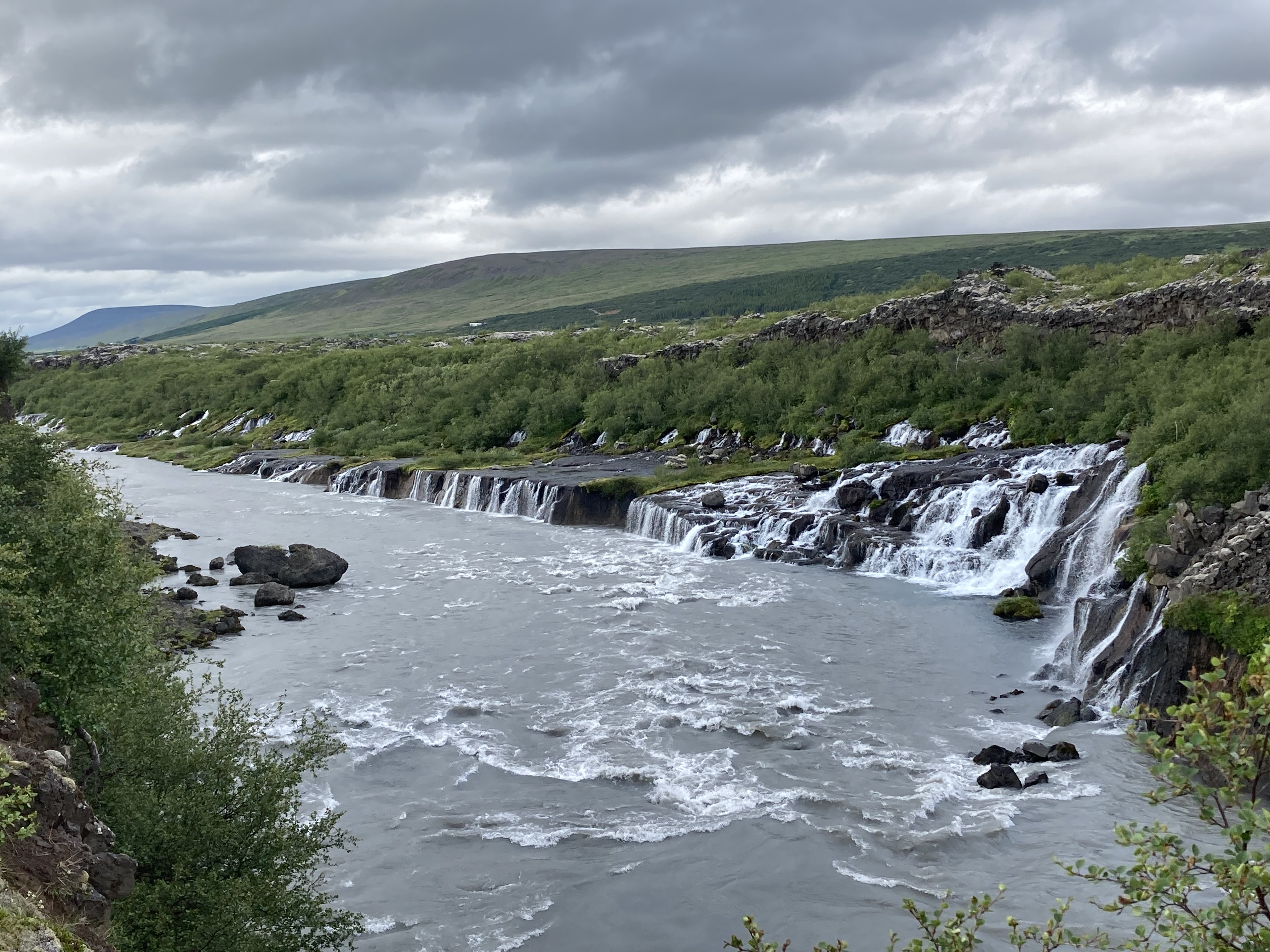
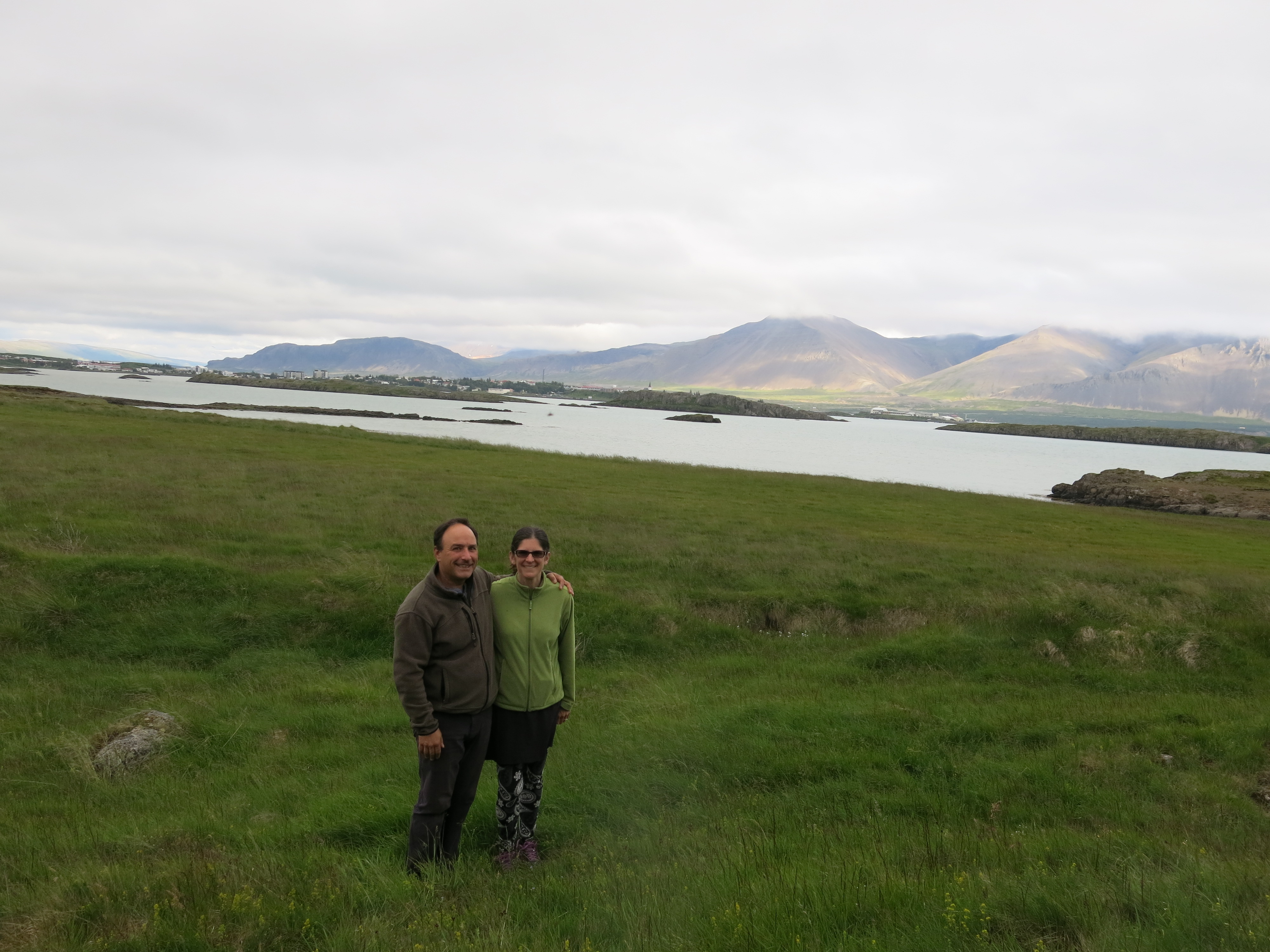
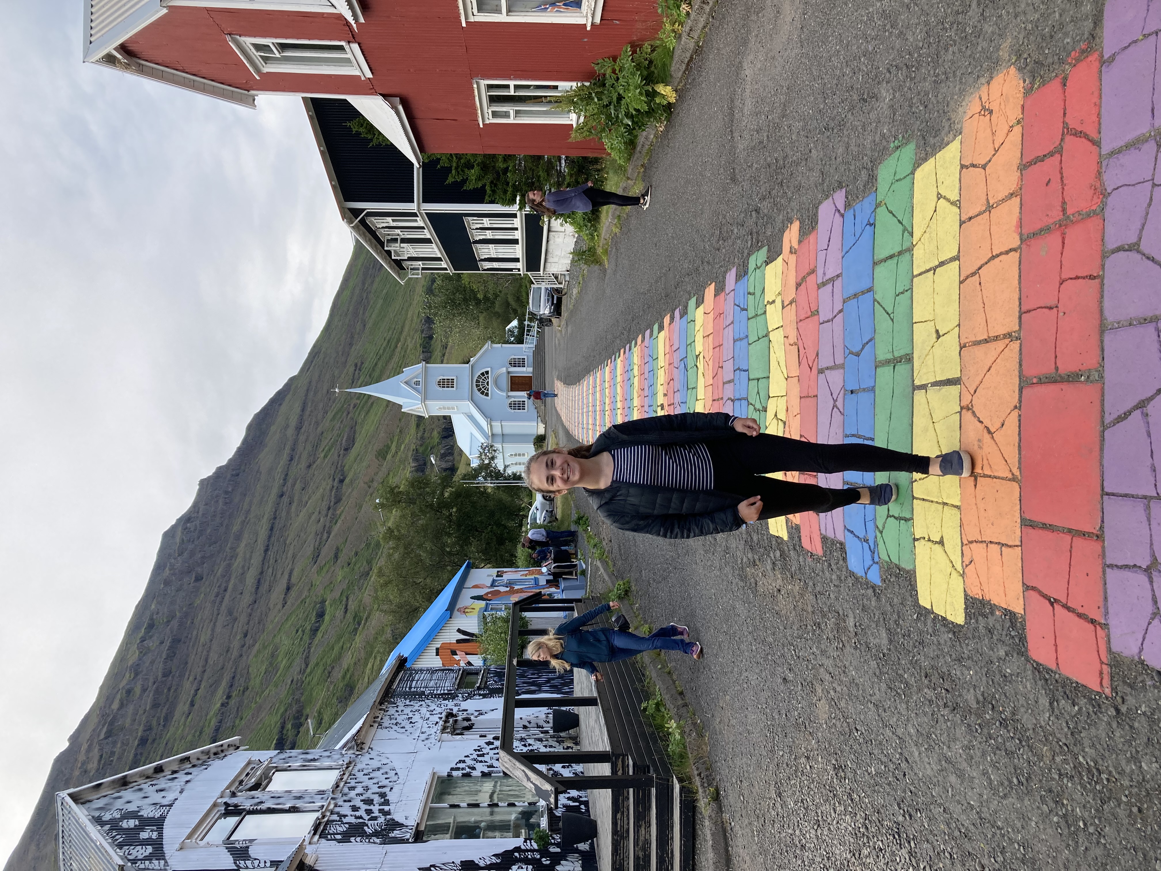 We loved Seydisfjorder — a tiny, colorful village at the innermost point of the fjord, surrounded on three sides by high mountains streaked with waterfalls — from first glance. Our hostel is called the Old Hospital, and is in a beautifully restored historic building. There is a sauna in the basement and white-capped mountains towering outside our windows. We were almost disappointed to not be cooking dinner tonight, when we saw the lovely kitchen and dining areas on the first floor.
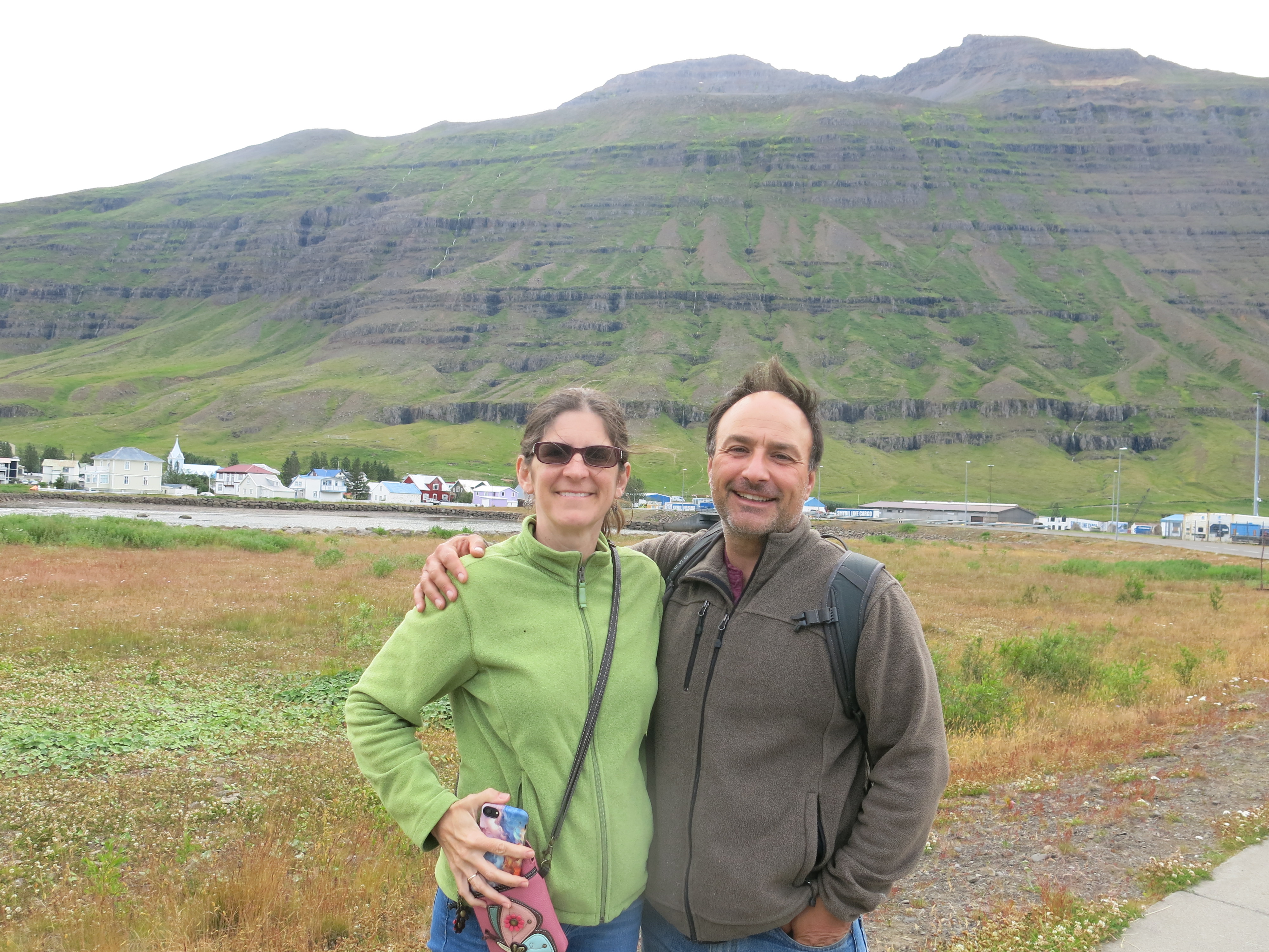
 Luckily (especially since the grocery was closed) we actually managed to eat inside a restaurant for the first time on the whole trip. (Normally this would be because Bob and I are being cheap — the food here is VERY expensive — but really, this time around we’ve tried several times and been foiled for one reason or another.) A short stroll around the town and its lagoon, and we’re ready to call it a night. Onward and southward tomorrow!


 accessible enough to