Through three legs of travel, things were very smooth, save for the omission of one flute from our luggage. This is by no means the fault of Chris Brooks, who handled leg one by quite ably and generously driving us to Logan; but, Chris, if you’re reading this, there’s a flute in the van. You may wish to take it out and warm it up a bit before anyone tries to use it.
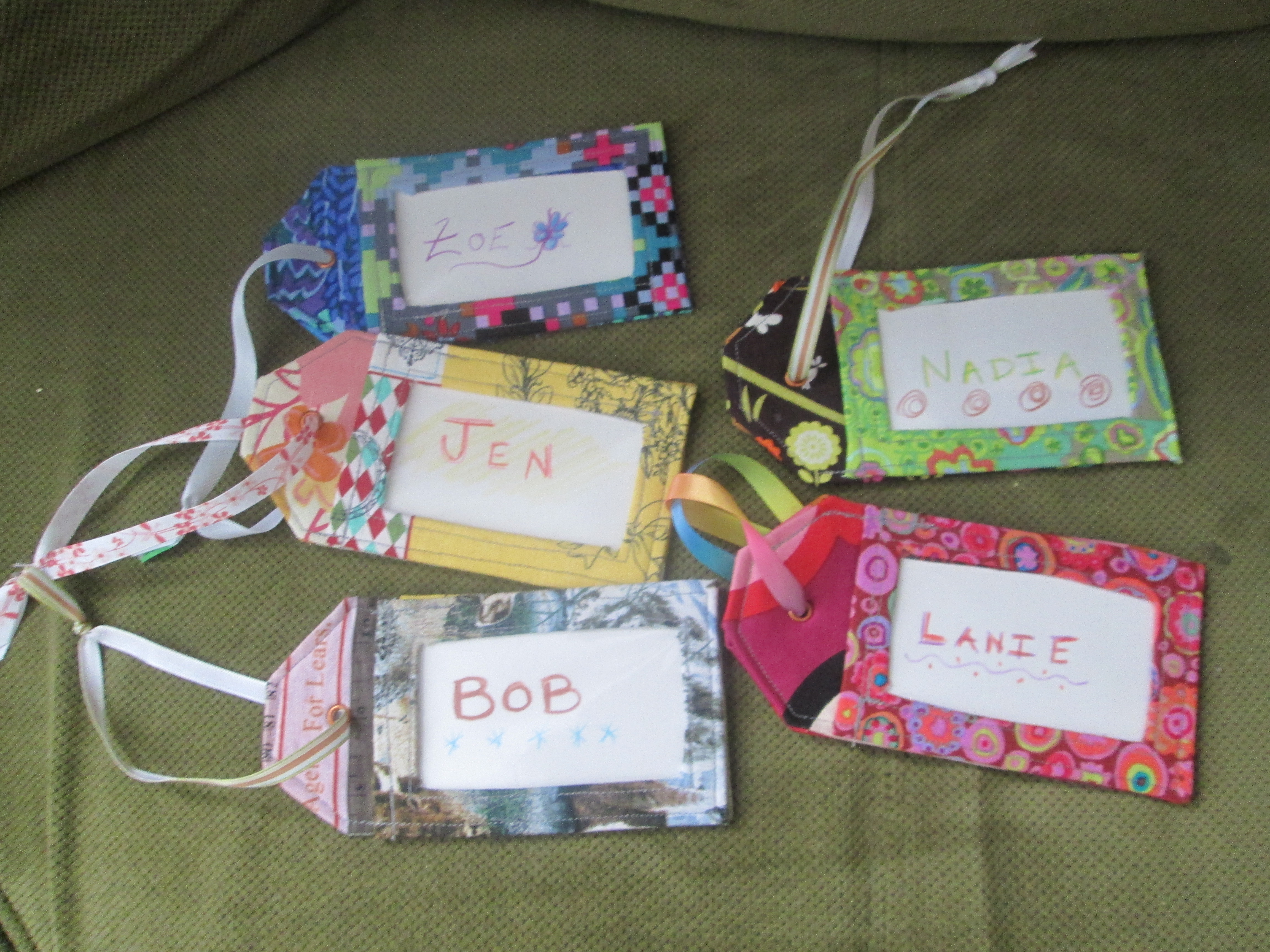
No luggage lost! Thank you, Sarah, for the beautiful tags!
Both flights were smooth, if a little plain. Inter-continental flights get you individual tv screens and multiple meals. A flight from Atlanta to Managua is a more spartan affair. They didn’t even come through on their promise of free wine and beer. What did the Nicaraguans ever do to you, Delta Airlines?
The fourth leg of the trip was more interesting. A van ride through Managua at night was a welcome adventure after the nervous 20 minutes looking for a man called Oscar in the mass of people lurking outside the airport exit. He turned out to be the one carrying a white sign with glittery gold butterflies on it. The van had glittery gold butterflies on it, too! (Our school’s name is Mariposa, which means butterfly in Spanish.)
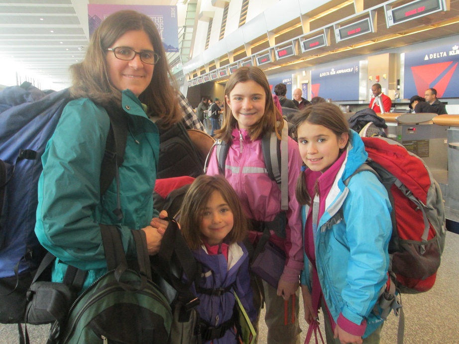
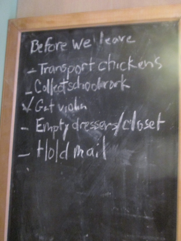
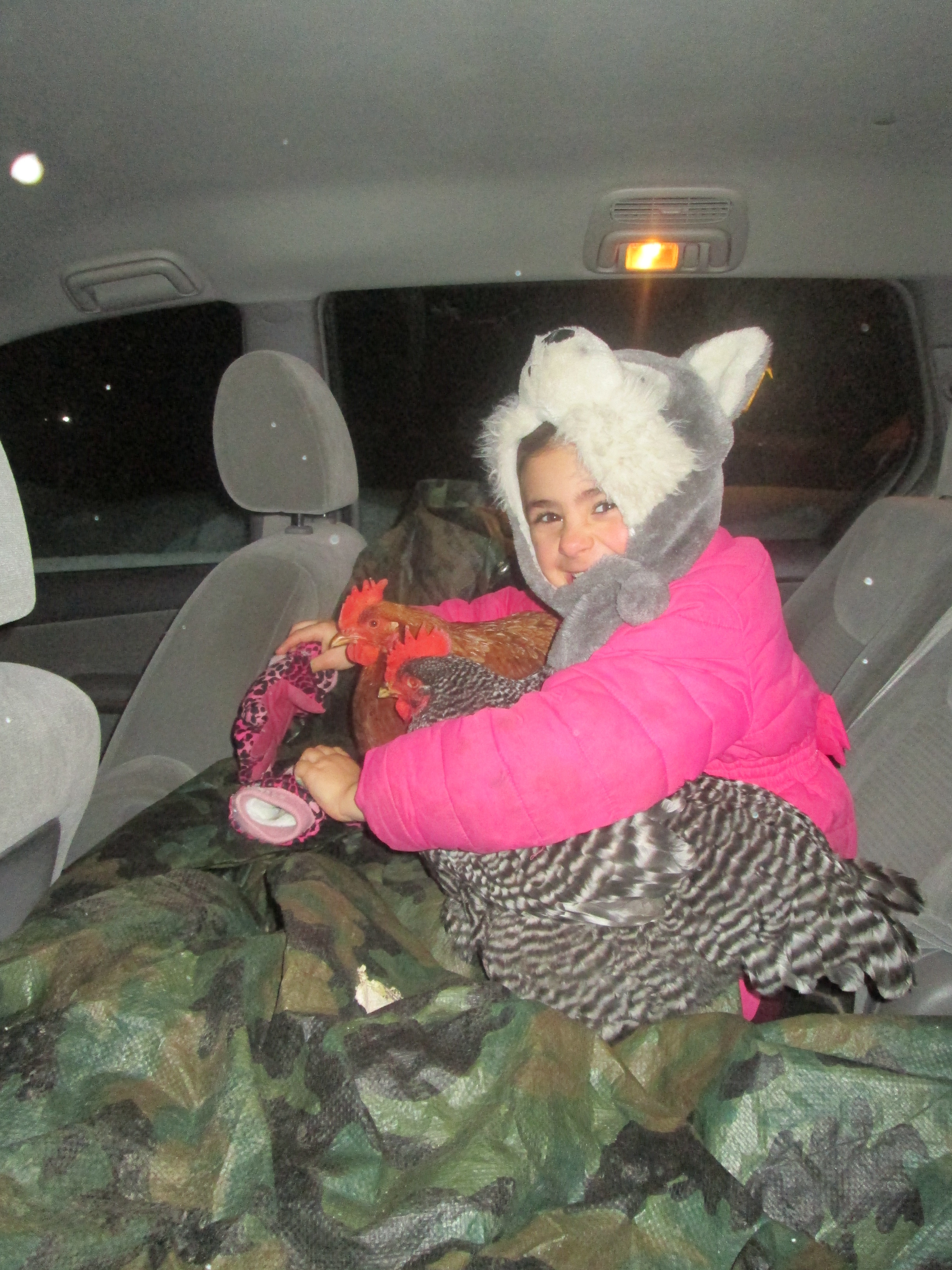
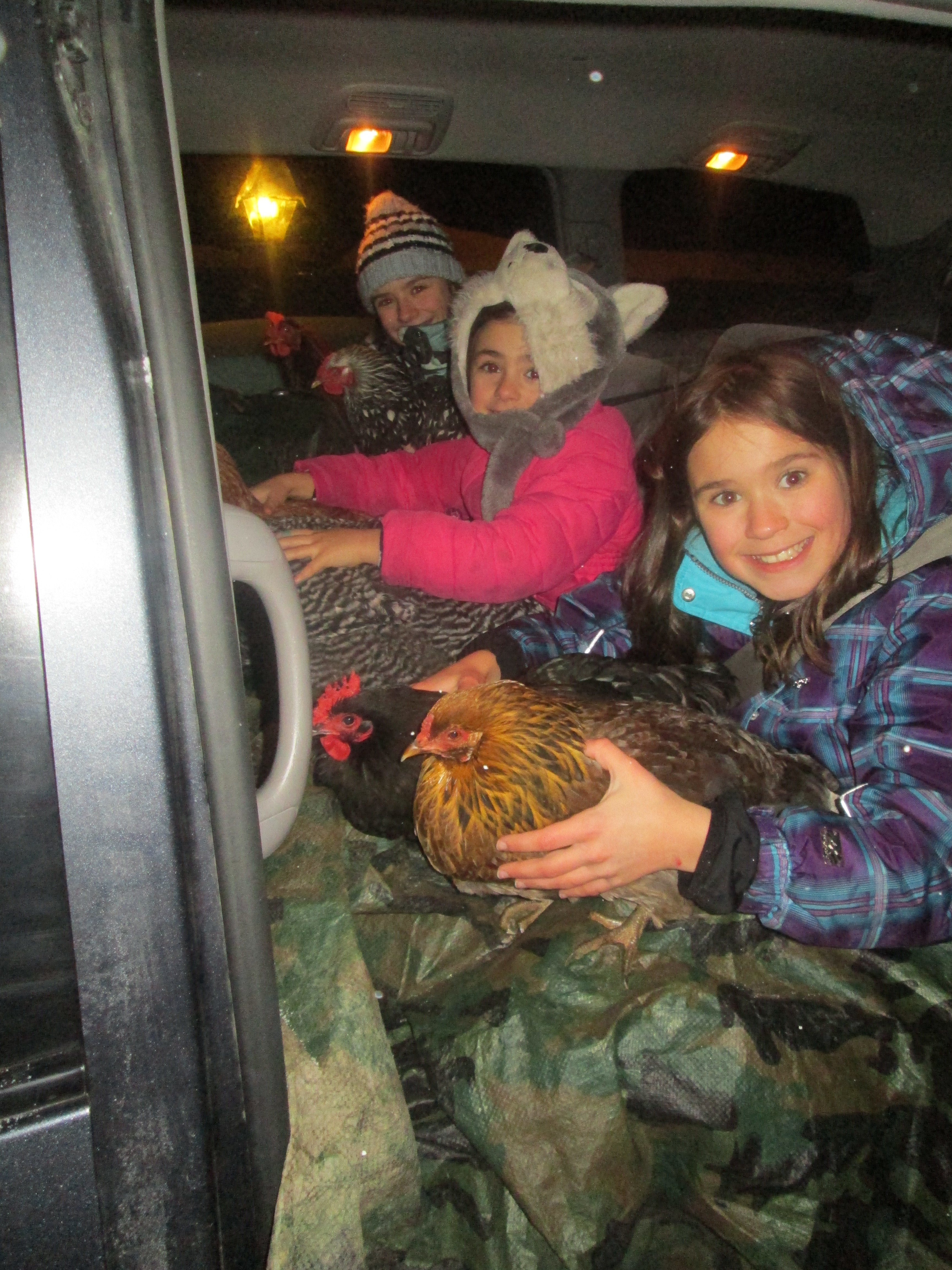
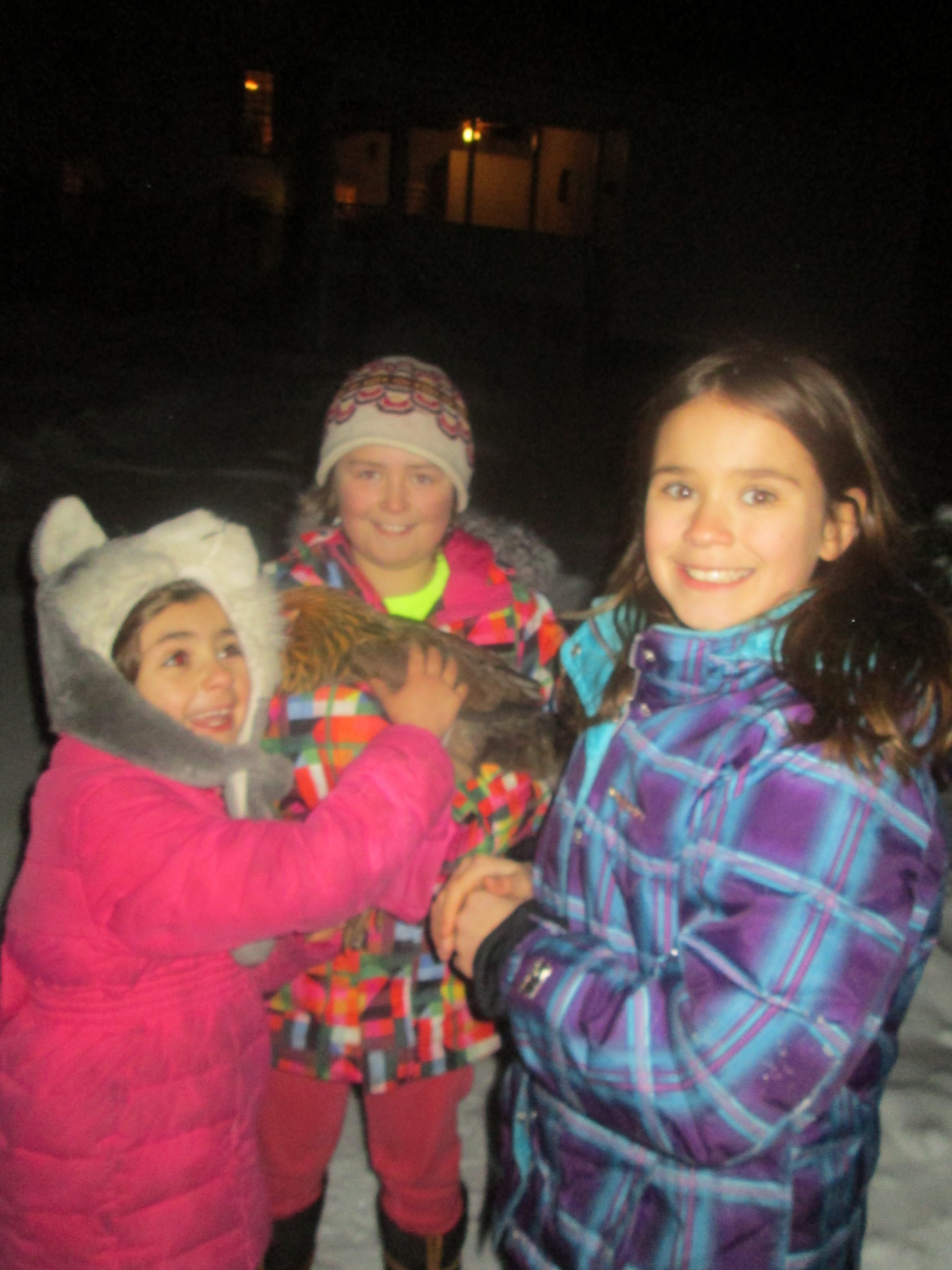
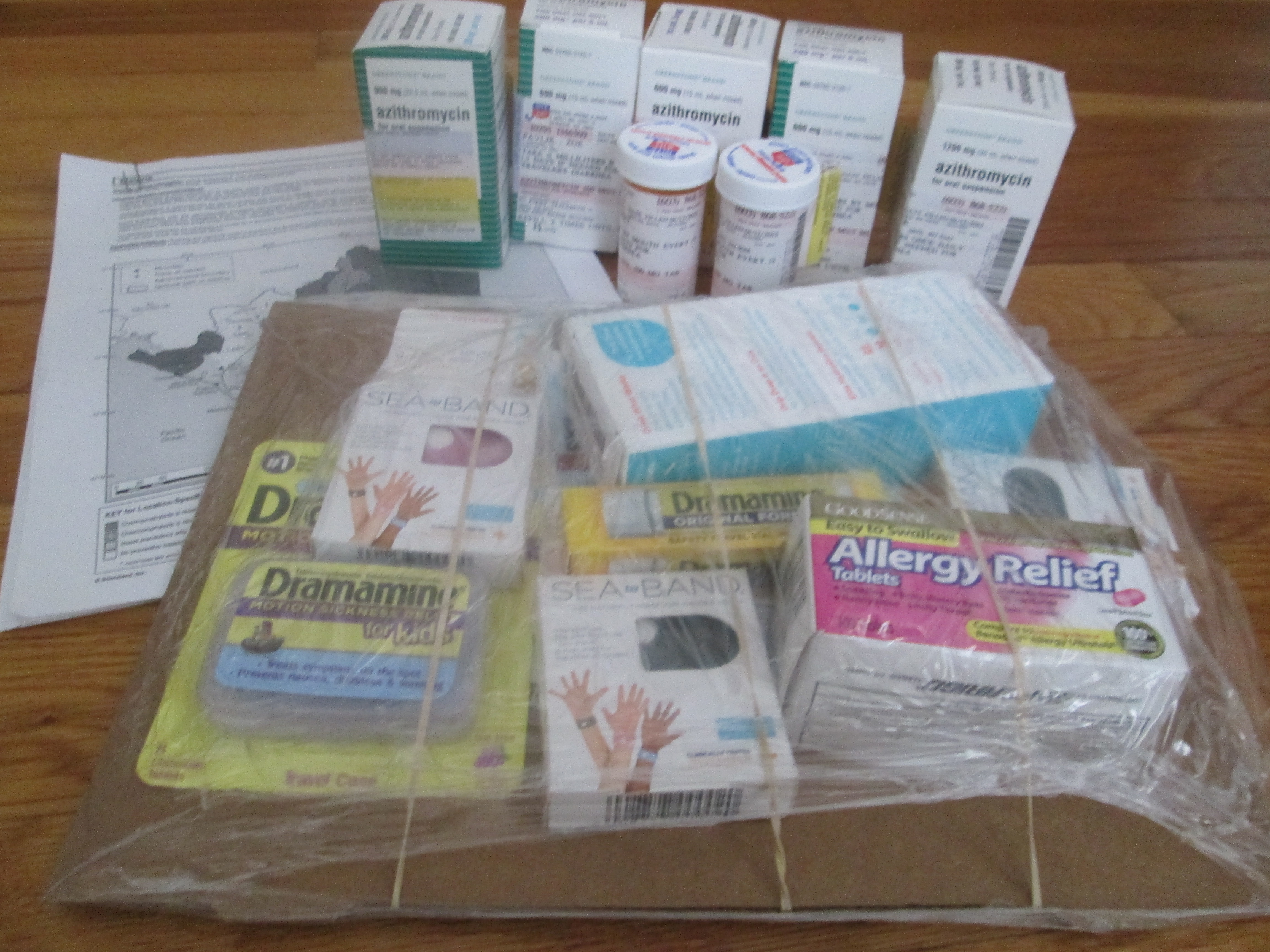
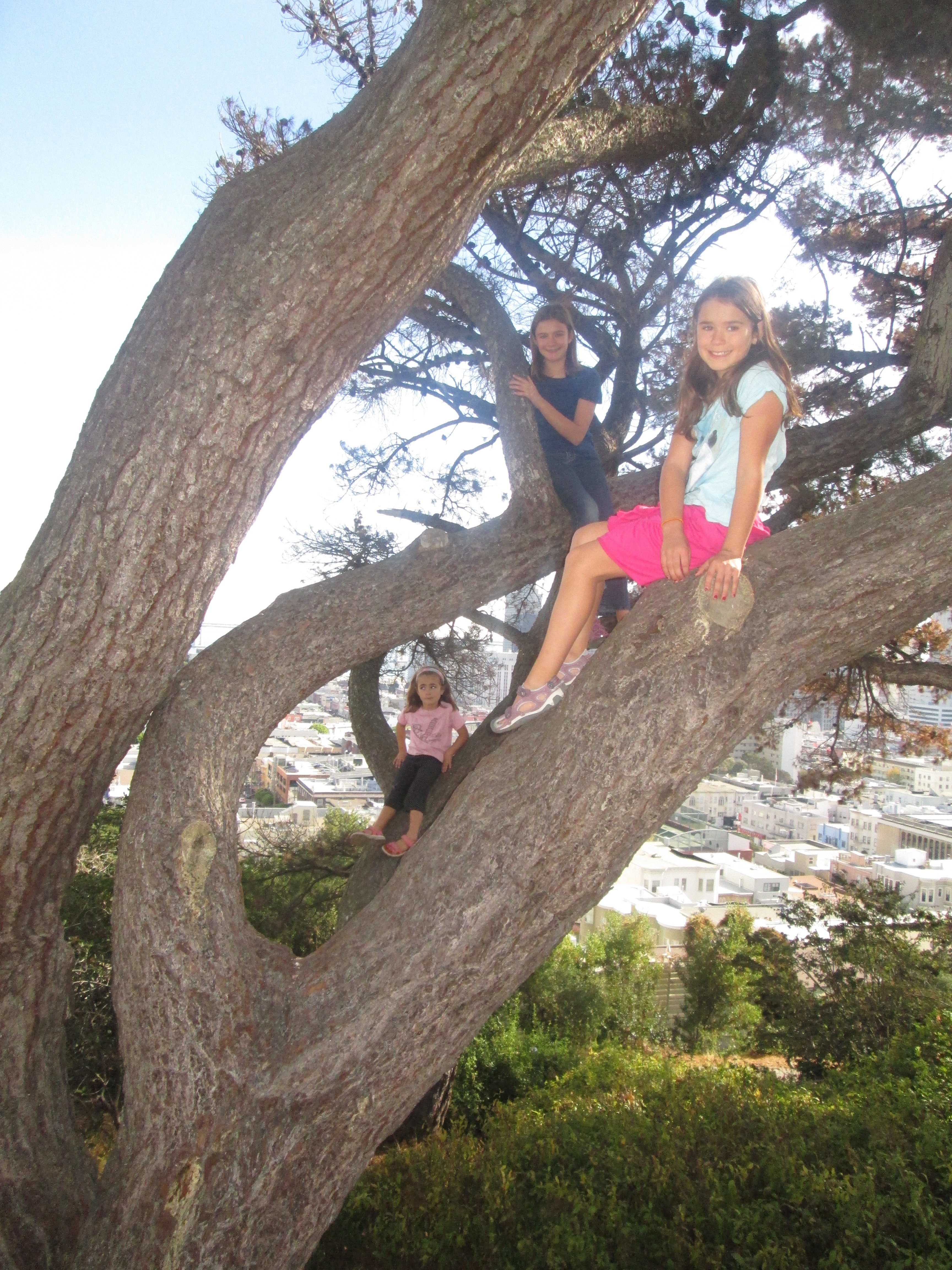
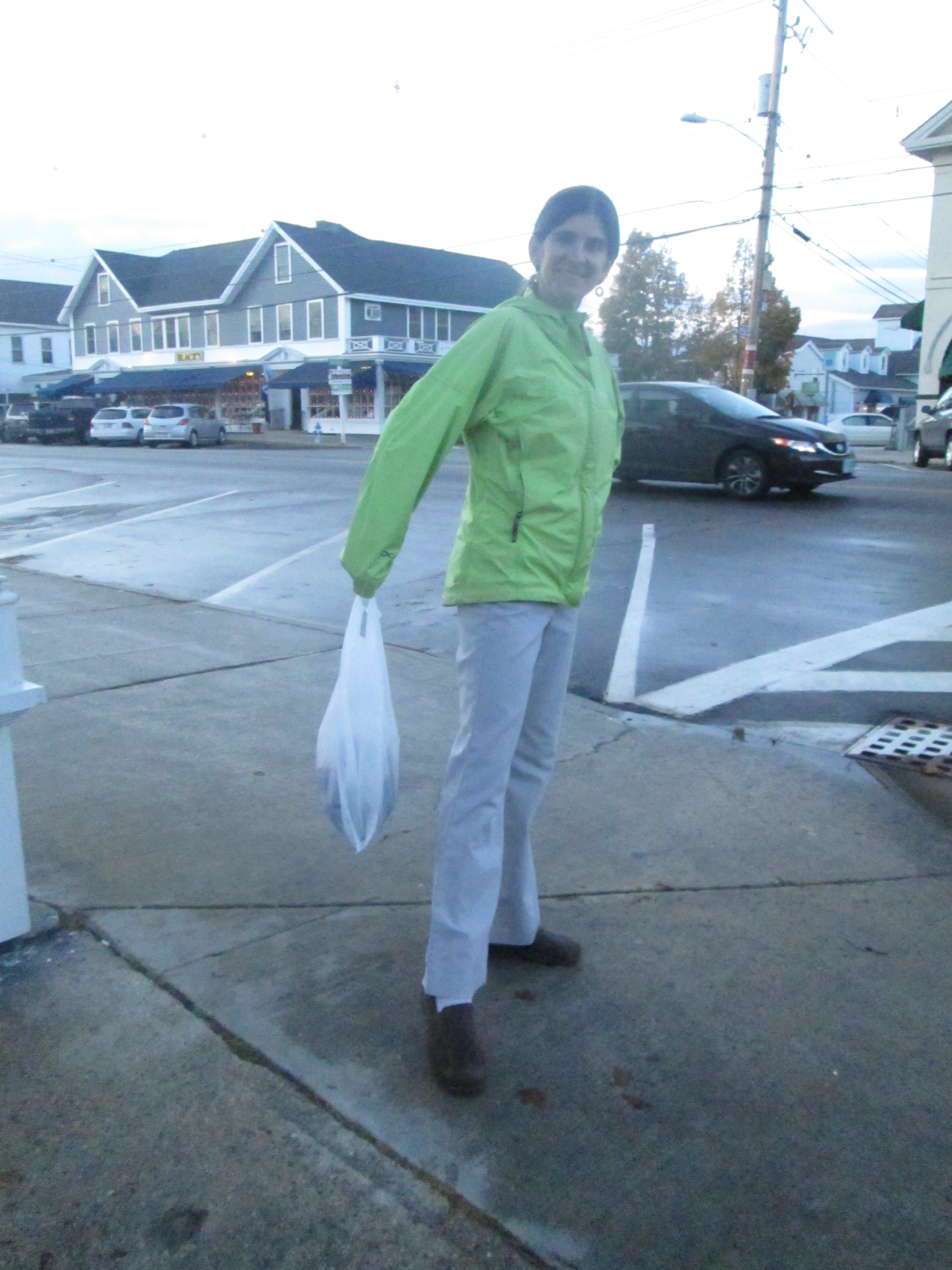
Several layers of clothing to shed before we arrive in Managua
Pity poor Nadia, though. Already a little airsick when we entered the van, she nearly succumbed to nausea under the triple pressures of extreme heat (it was probably only in the 80s, but our bodies haven’t even seen the 40s for a month and a half), erratic driving (Oscar likes high RPMs and using his horn), and the circumnavigation of literally dozens of speed bumps. This city is filled with speed bumps . I’m serious, there must be hundreds of thousands of them, at least, of various sizes and seemingly random locations. Why are they there? I don’t know. Managua is notoriously over-crowded. Maybe this helps keeps the streets safe for the excess people who flow out of their houses for fresh air.
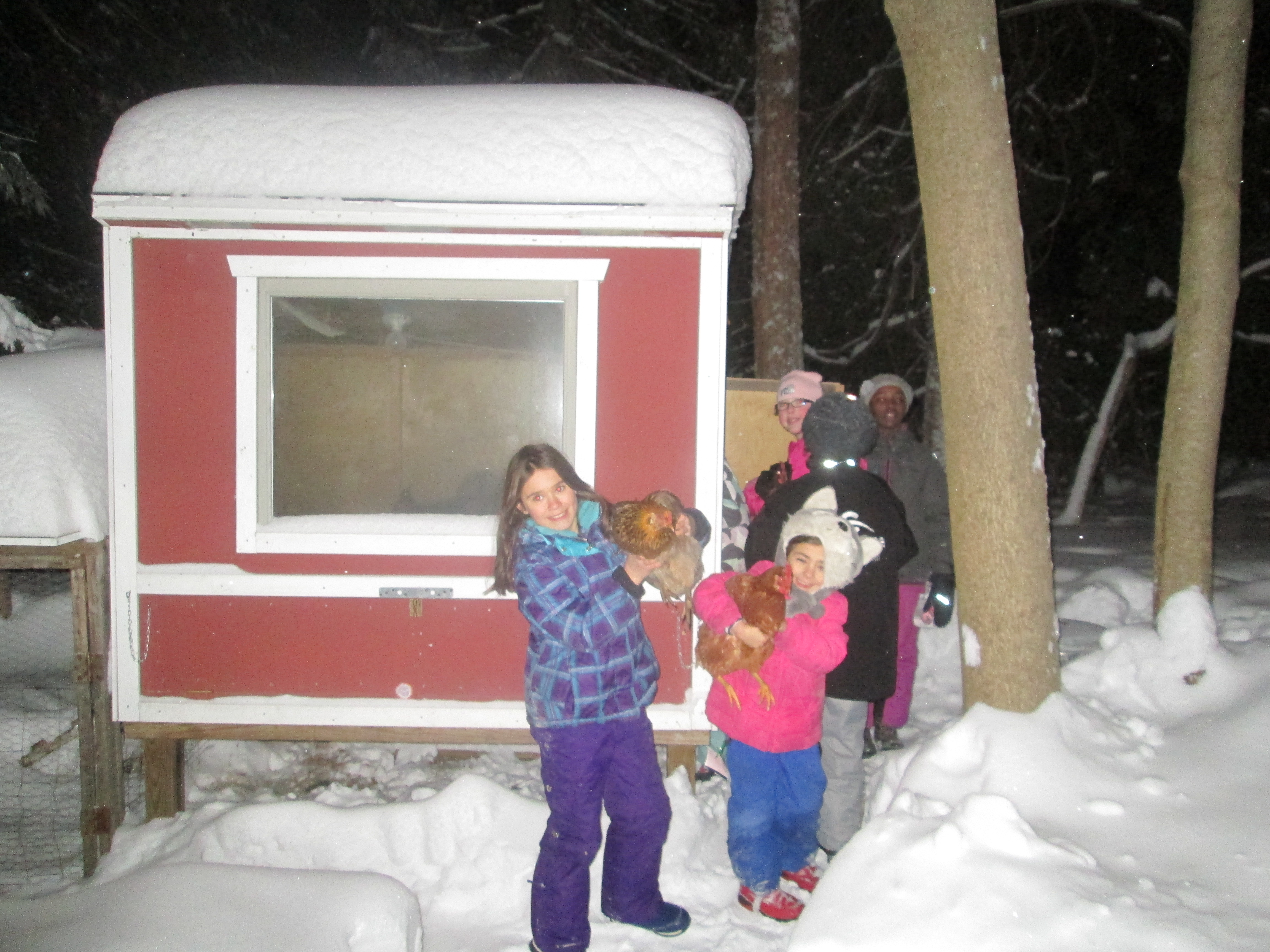
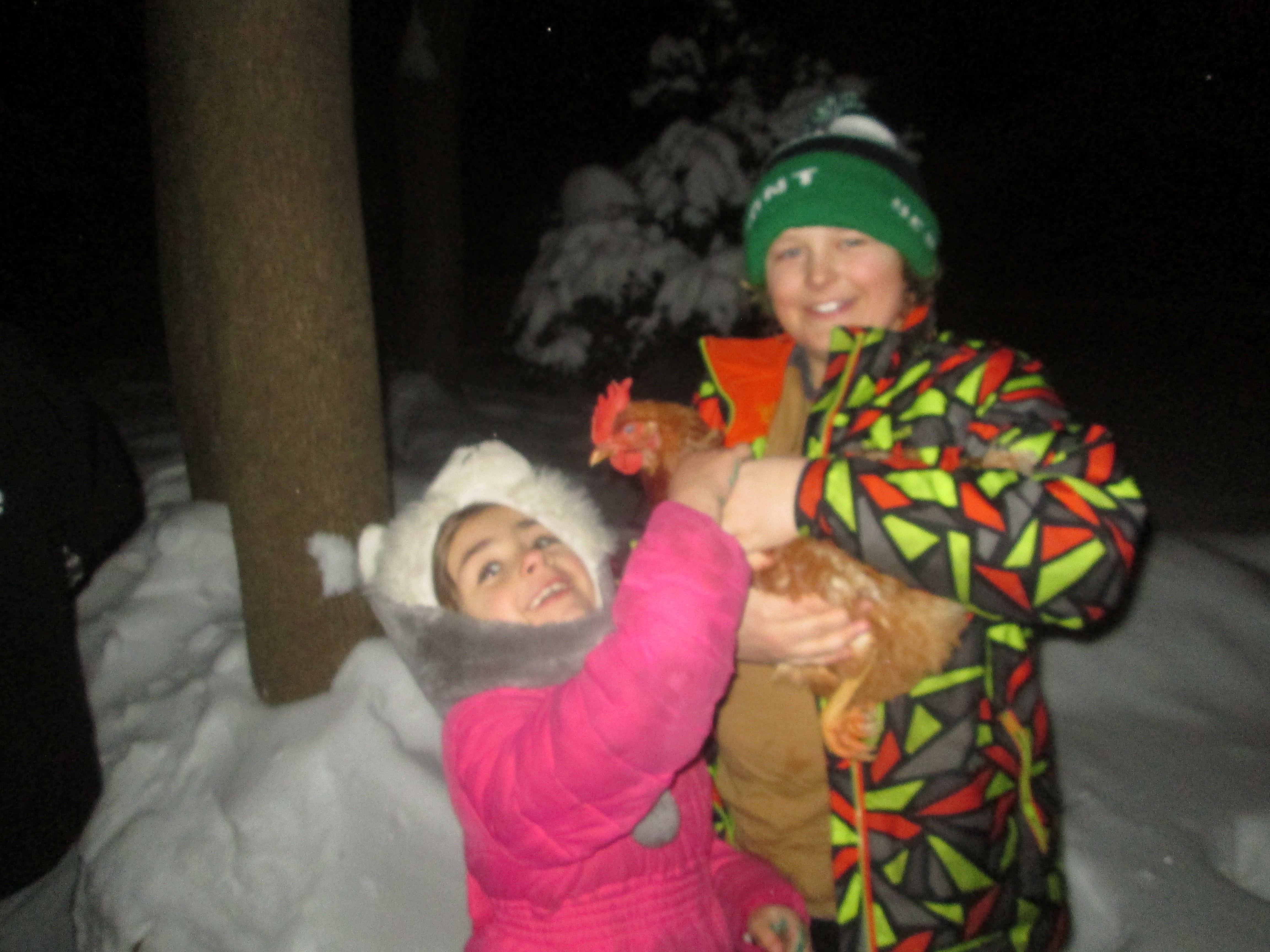
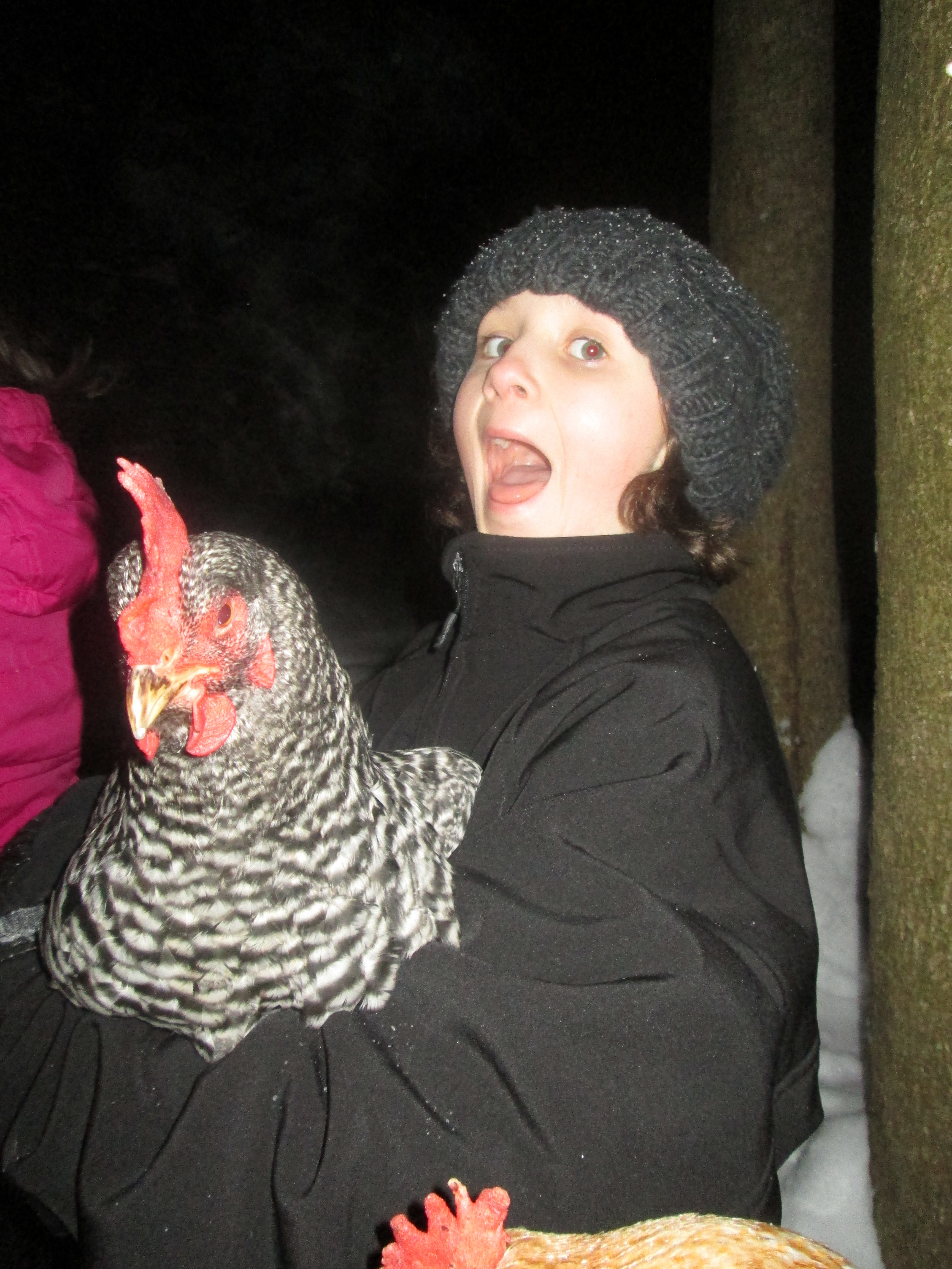
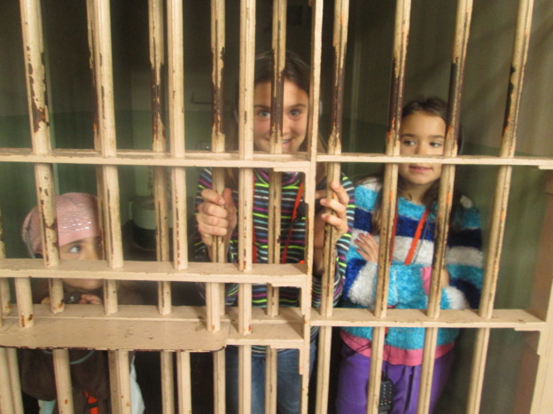
We waited in line a LONG time for this.
Anyway, during one stretch that lasted for about 200 yards, I counted 16 speed bumps, and this was only after I decided to start counting. It took me a while — probably another 20 speed bumps — before I realized, hey, there are a lot of speed bumps on this road. Let’s start keeping track.
Then stop pitying Nadia, because a little bit outside of Managua the roads became paved (as opposed to cobble stones) and the speed bumps became much fewer and far between. By the time we reached the school, she had recovered completely, as if by magic; but among the rest of us, more than one was a little green from car sickness and general fatigue. The non-sick ones had a great time meeting the dogs in the compound and marveling at our nice room.
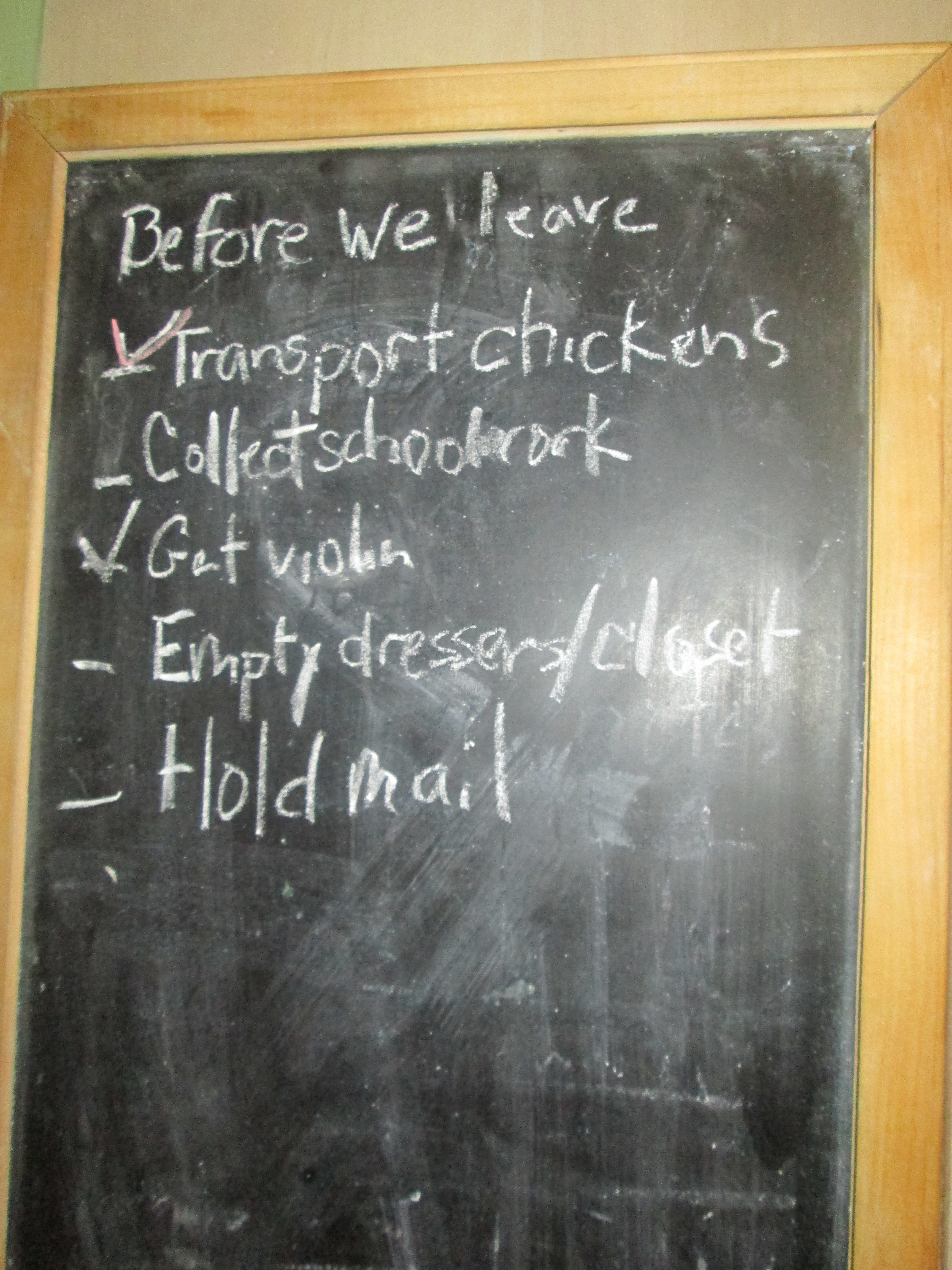
Departure time from our house 9:22 EST; arrival at our school 10:27 CST.
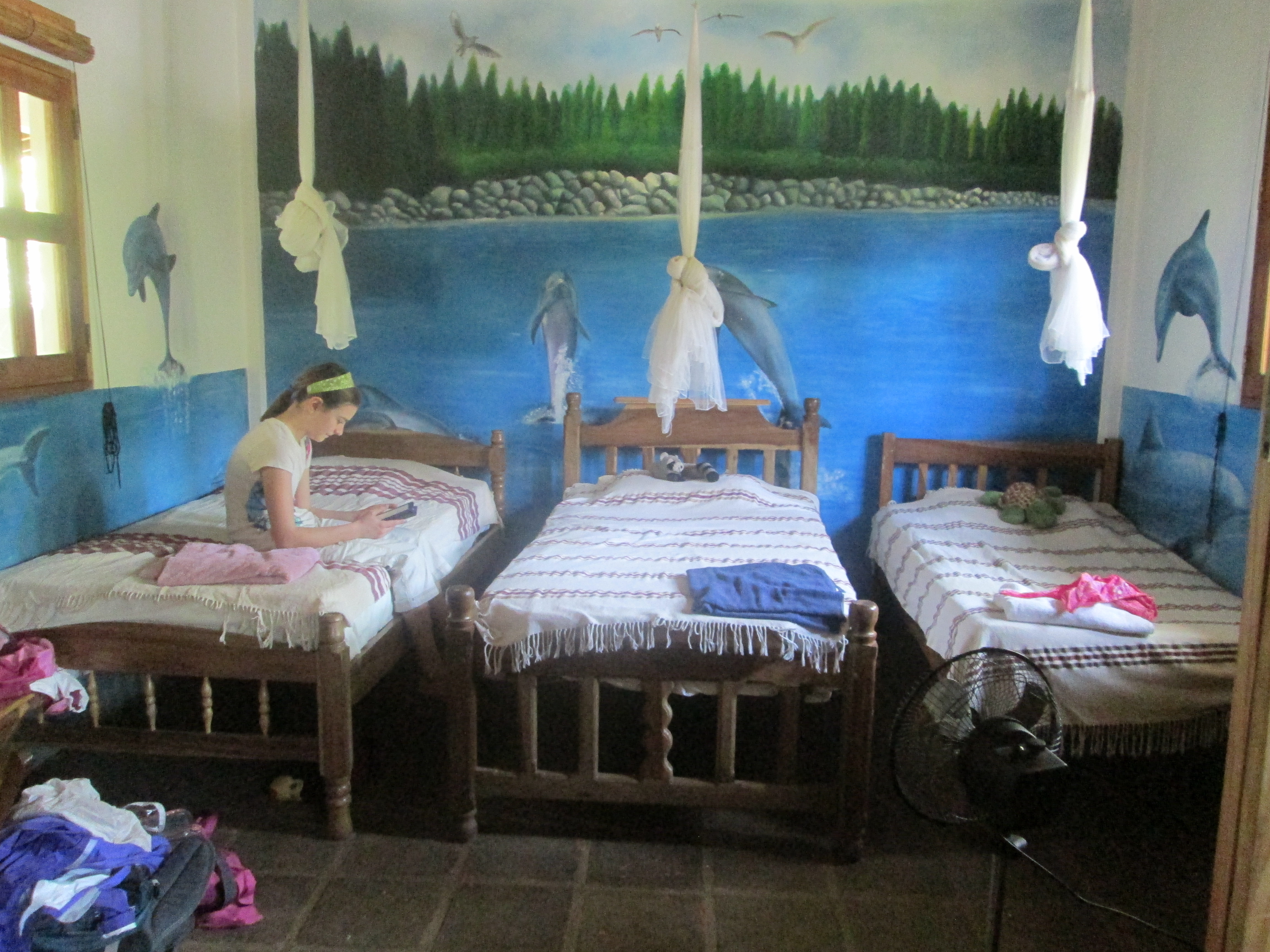
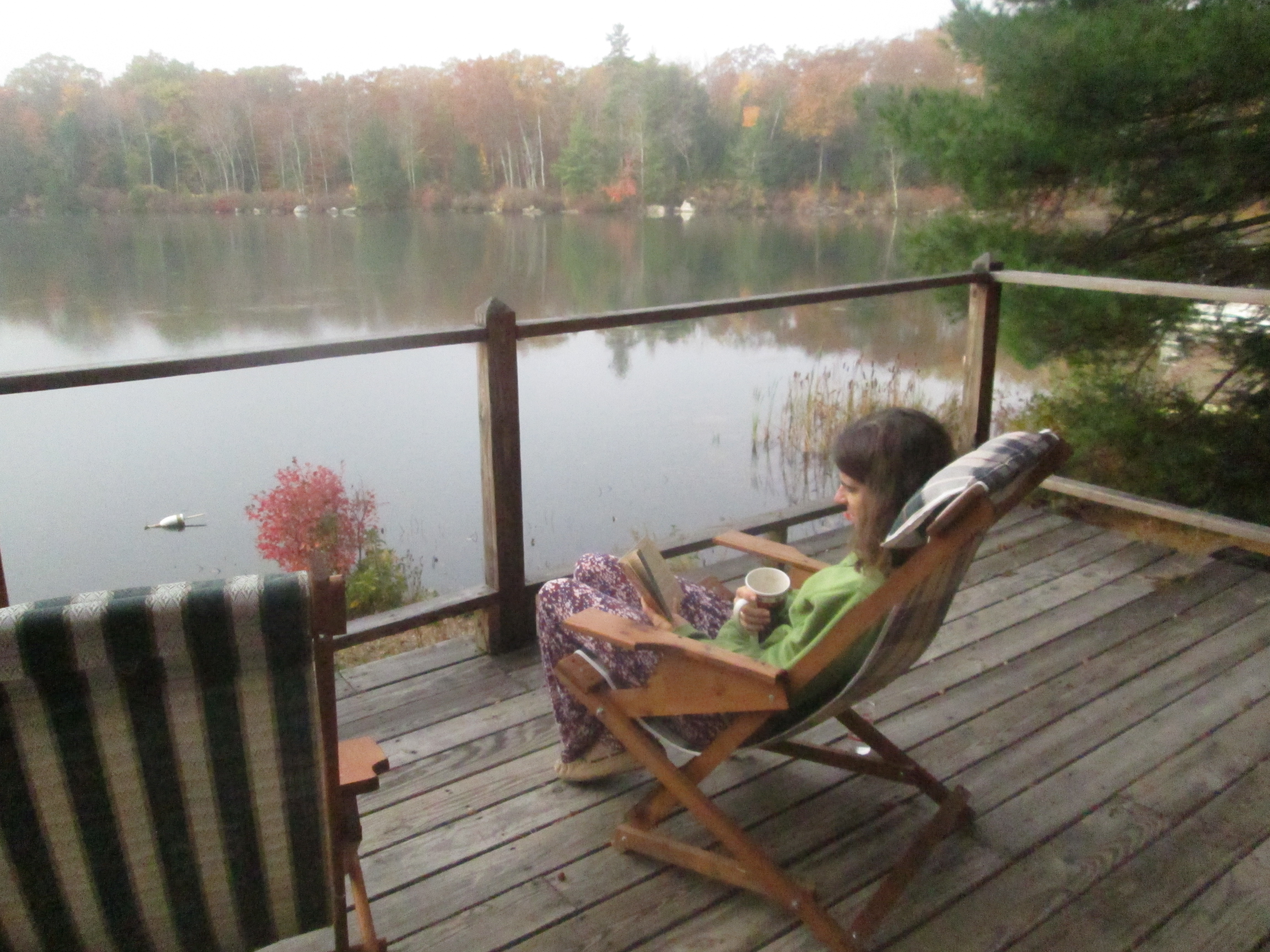
The kids’ side of our family room.