Category Archives: California

Down and up

Zoe trying to fit all our food onto her shelf

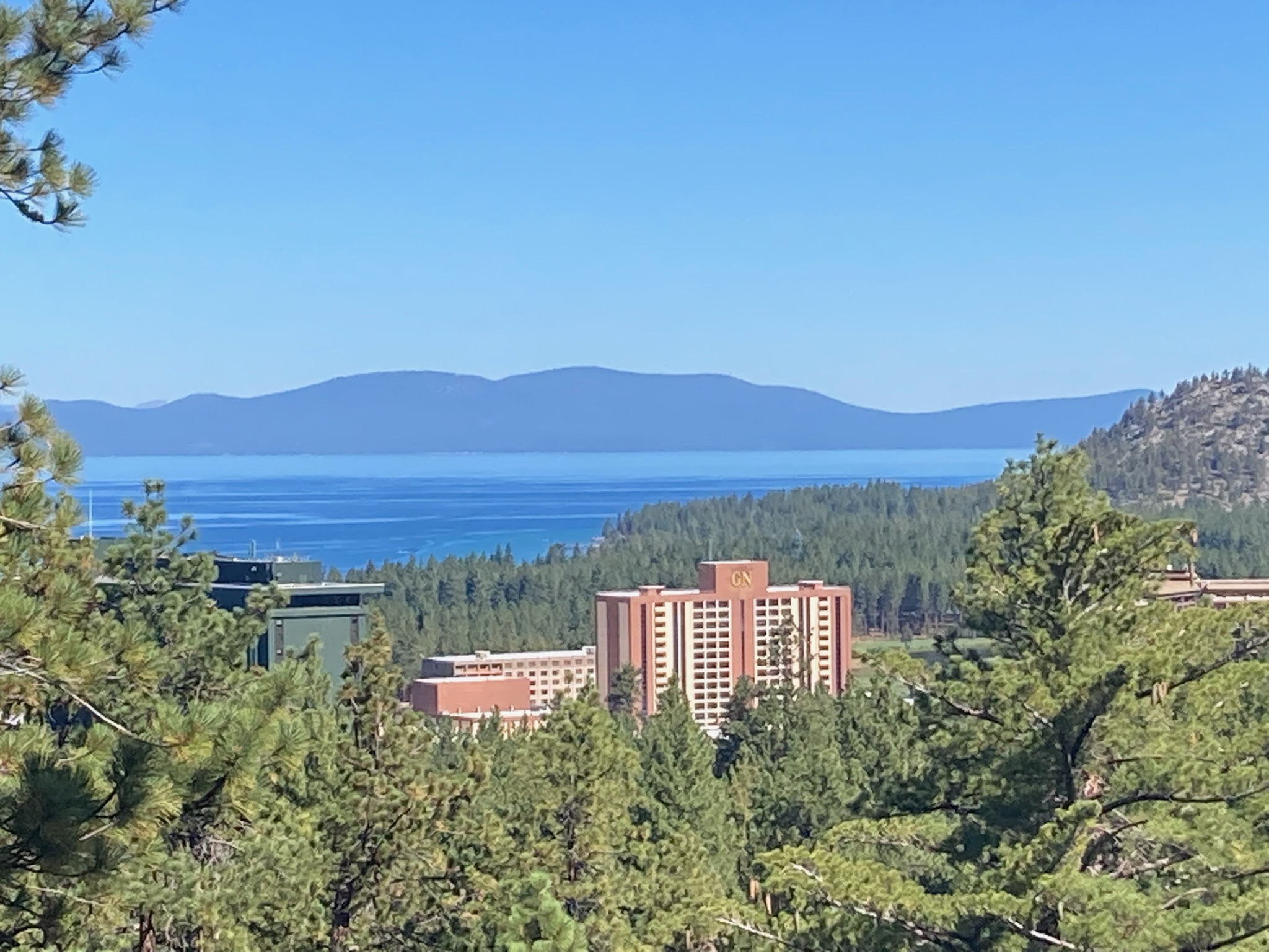
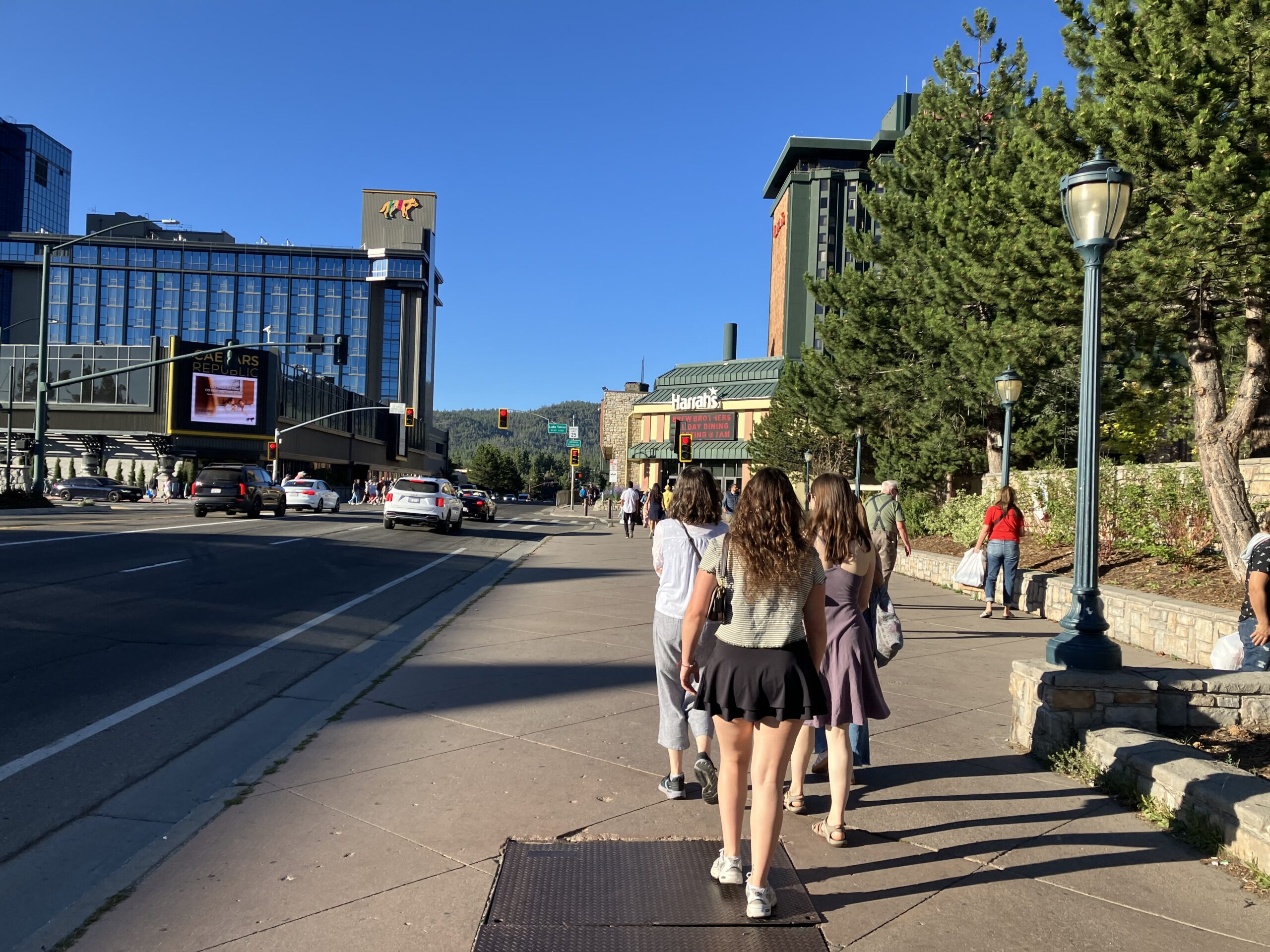
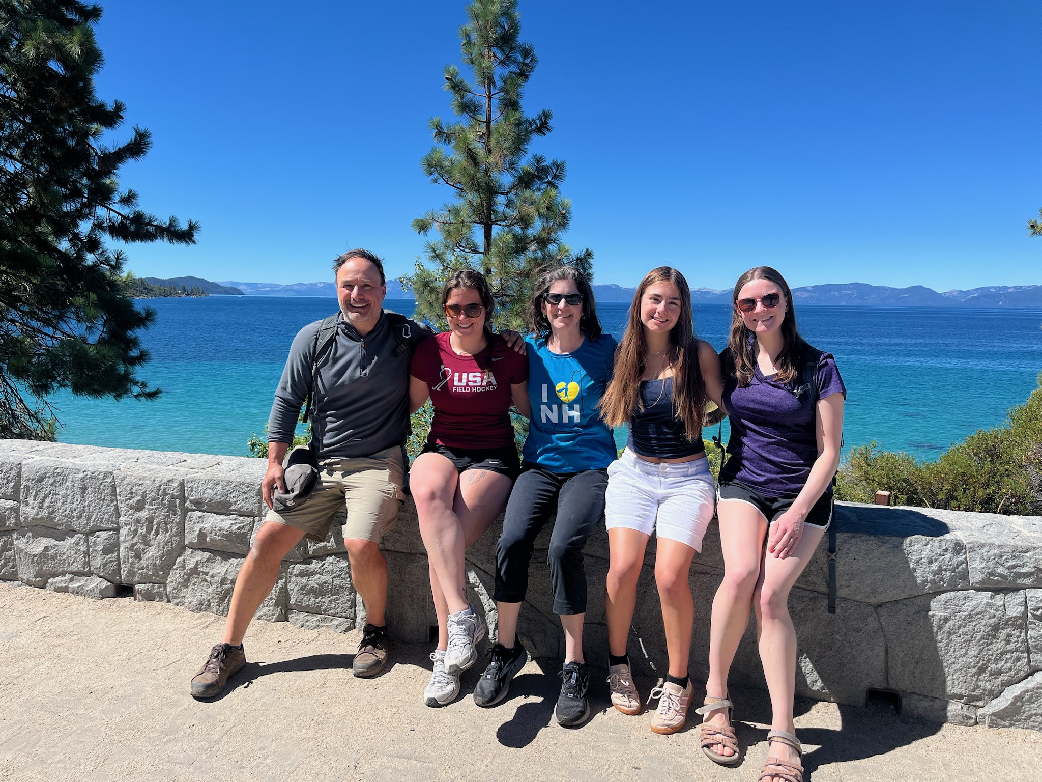
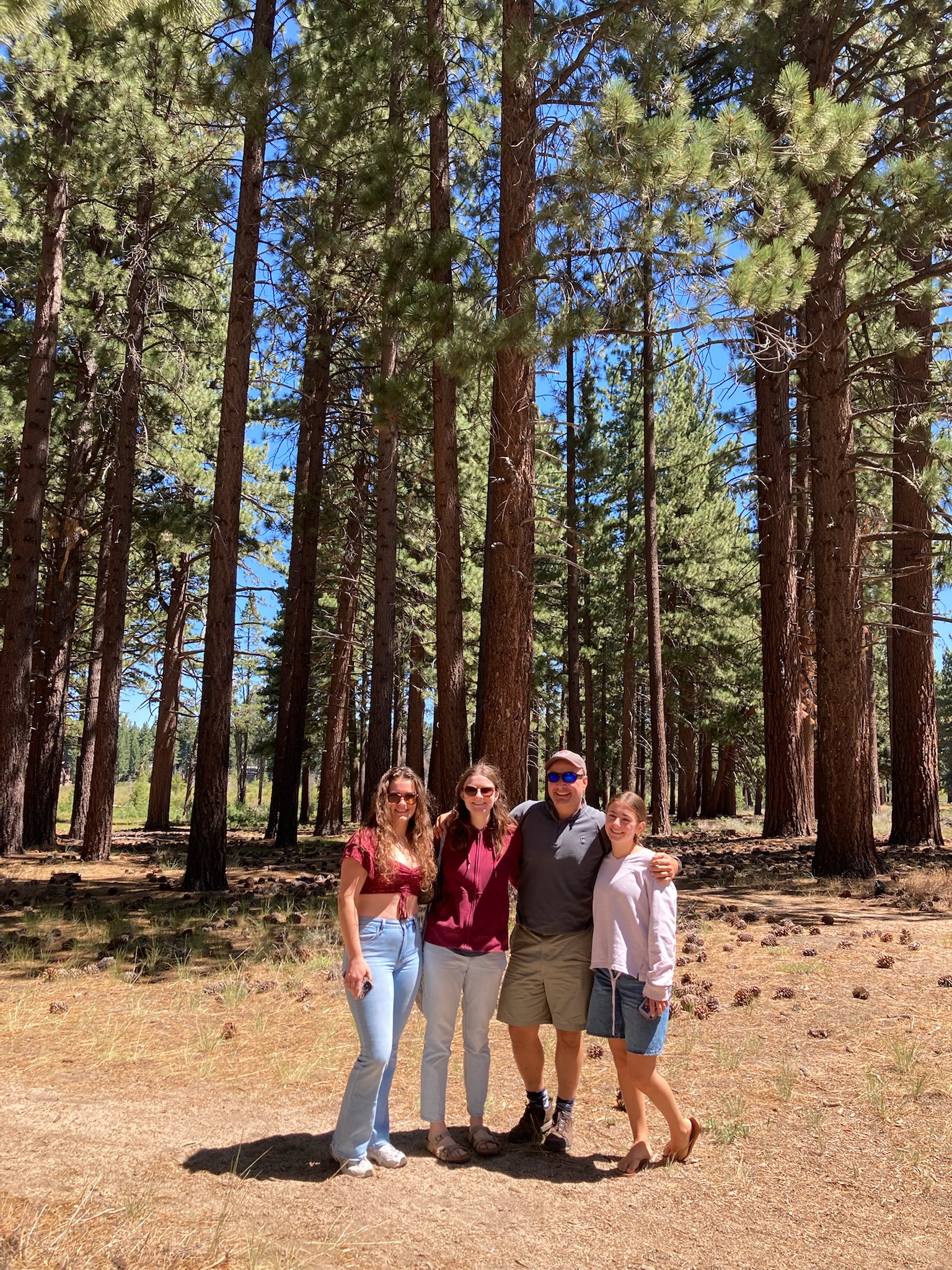
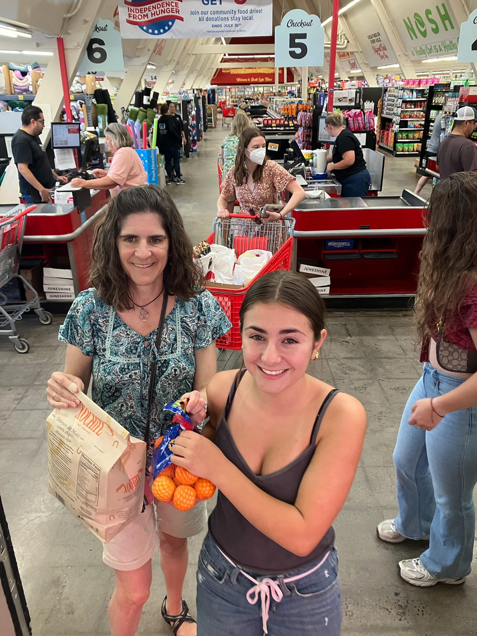
Our flight out of Sacramento was not until 9:30pm, so we still had most of a day left for vacationing. We started by cleaning out our refrigerator and cabinets — it was nice that we could foist our leftovers on Zoe rather than throwing things away. We remembered to return our parking passes, which all of us had been paranoid about all week since they charge you $250 each if you accidentally take them away with you. Then we said goodbye to Lakeland Village #514 and headed to Zoe’s house for the foisting.

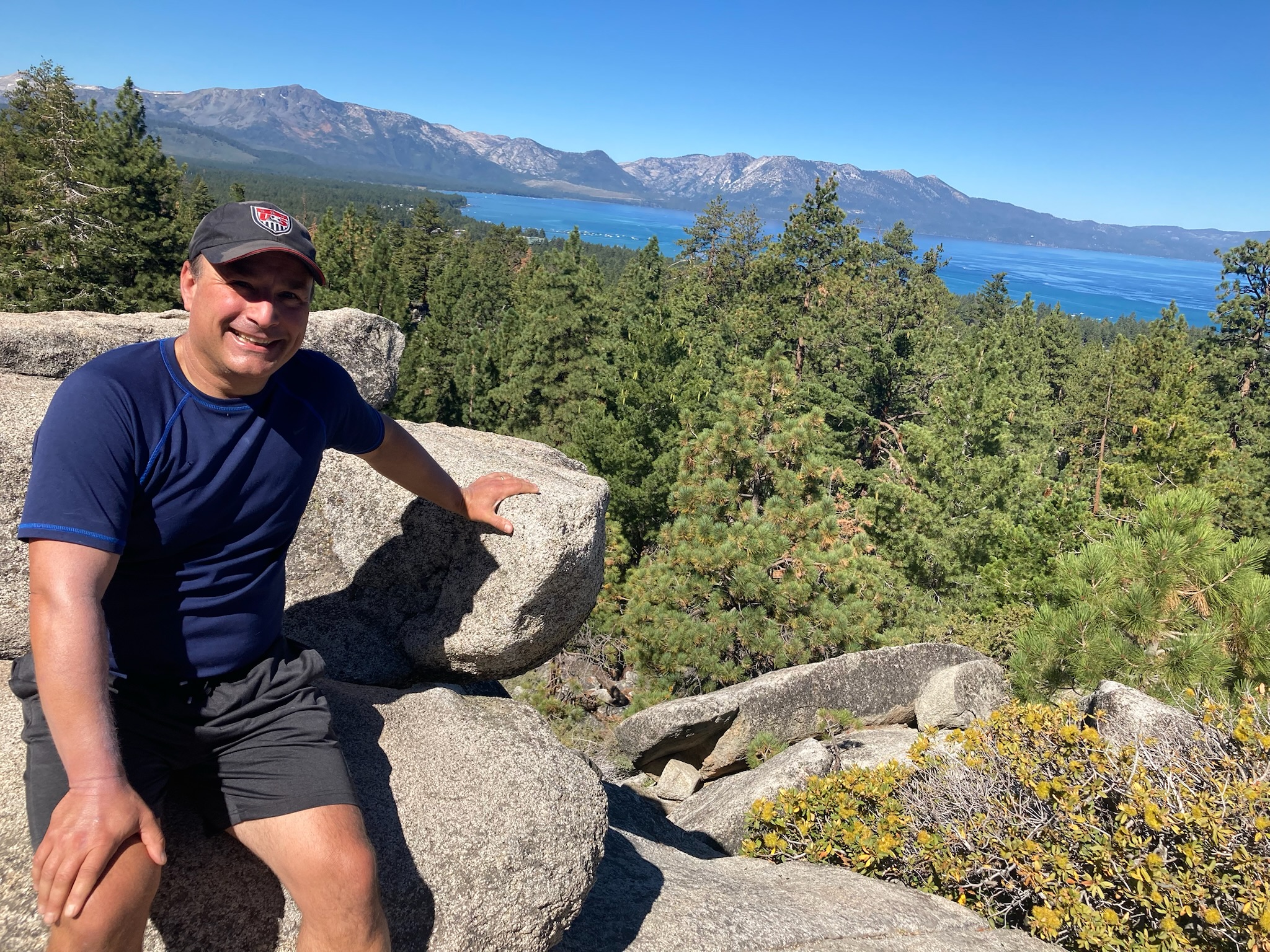
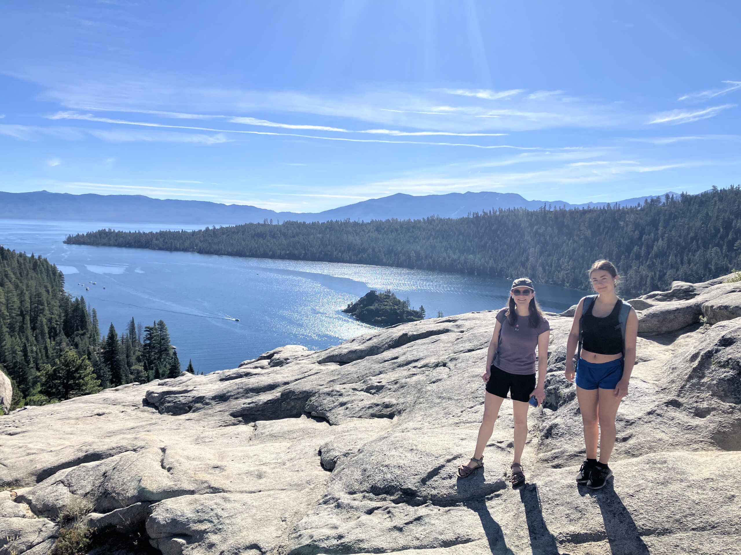
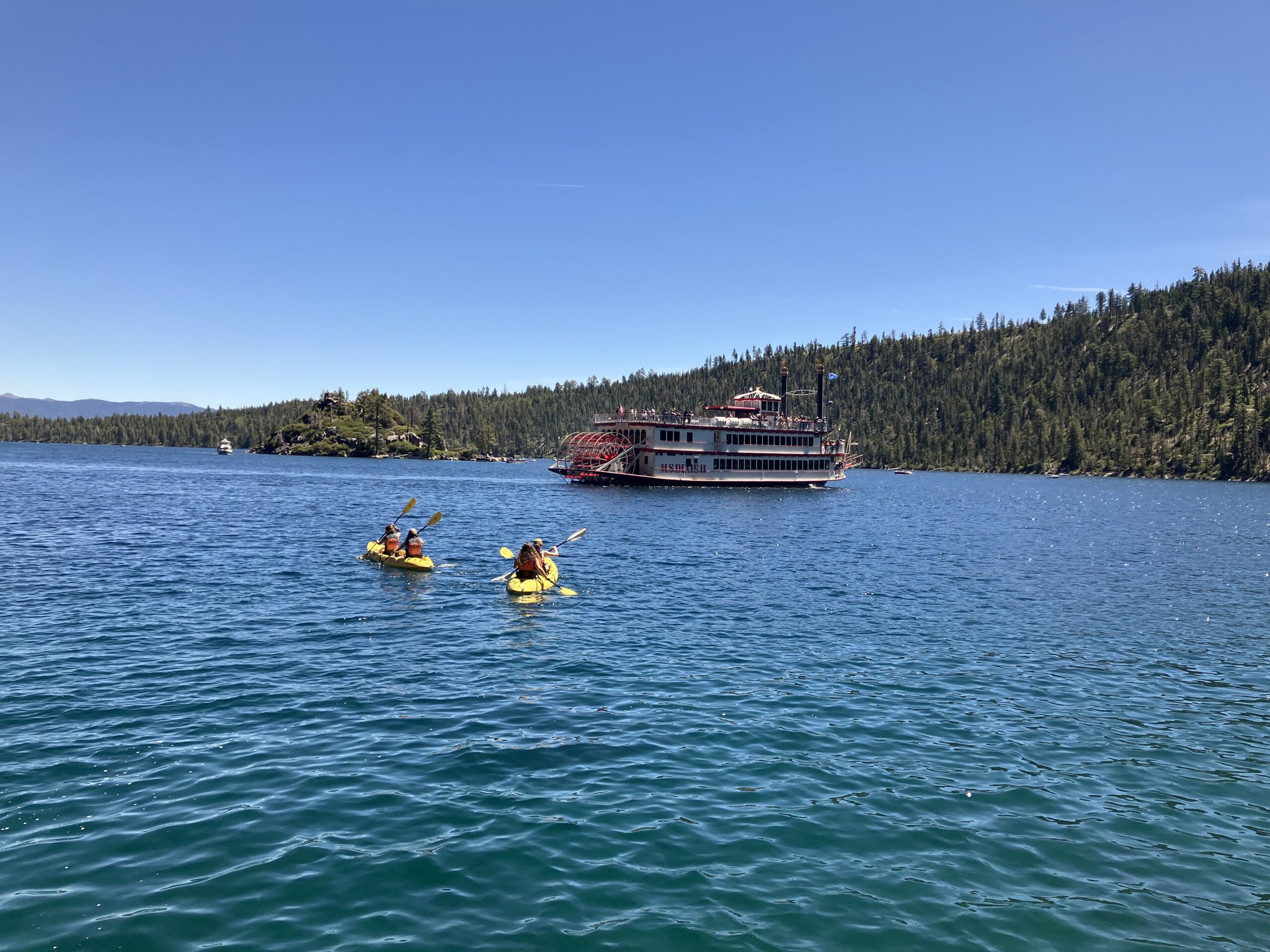
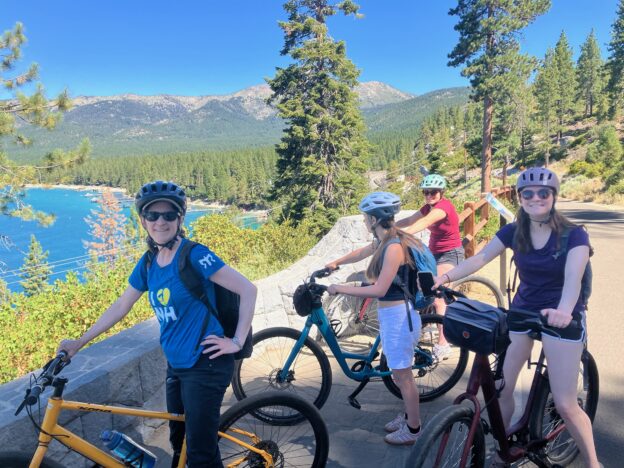
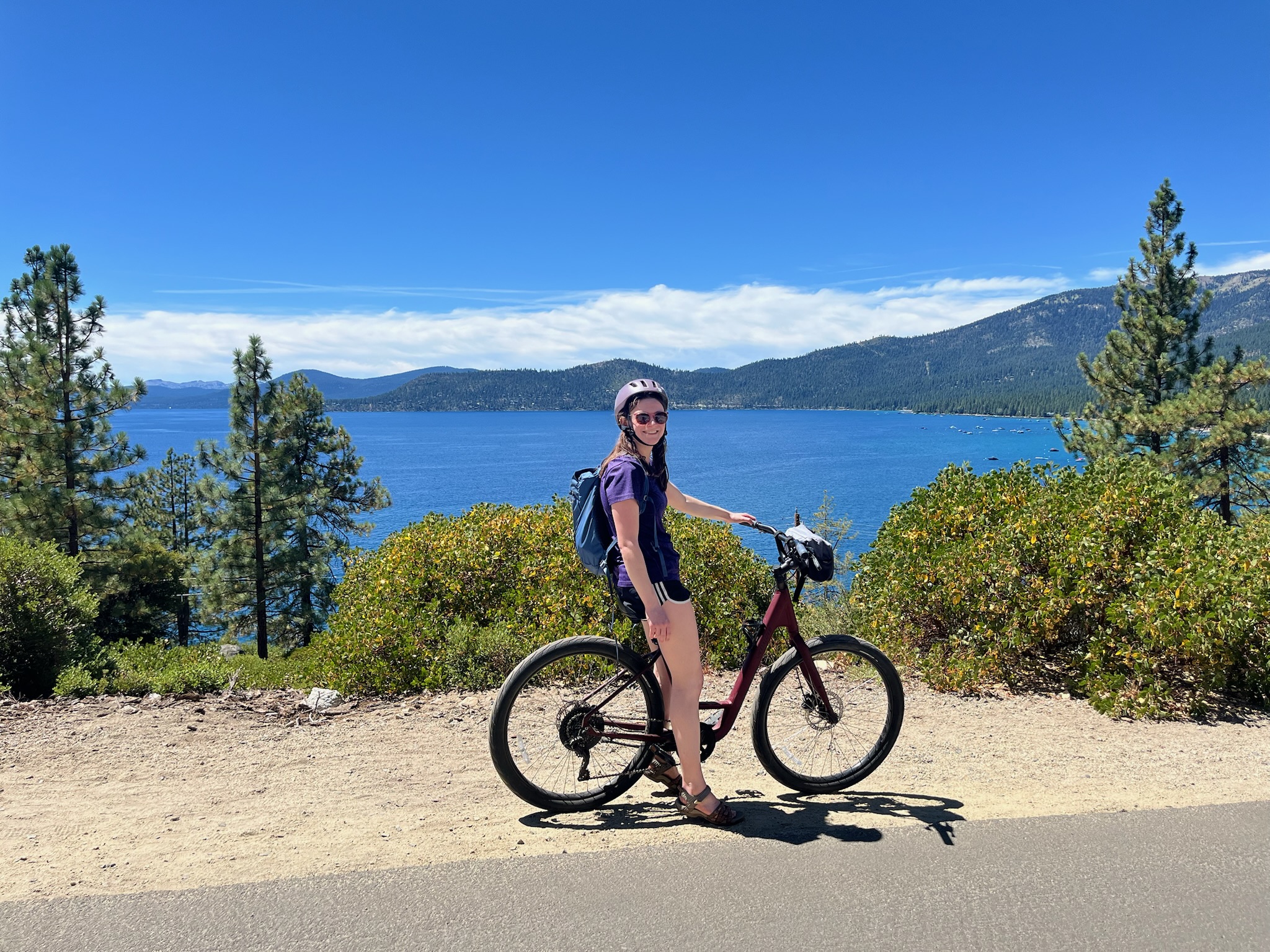
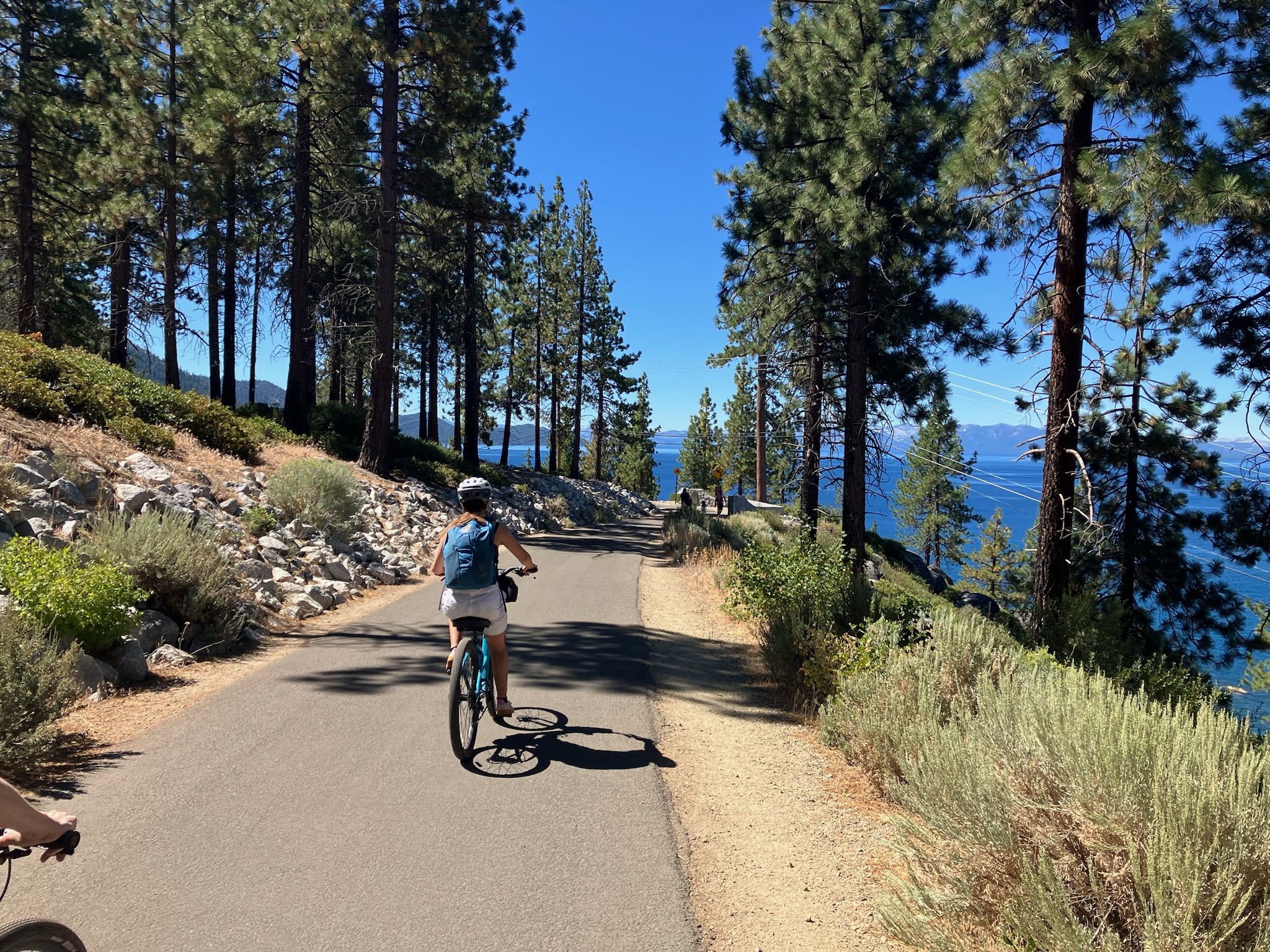
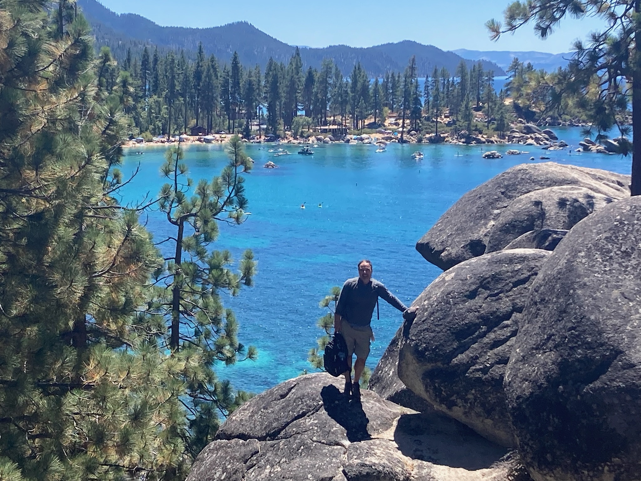
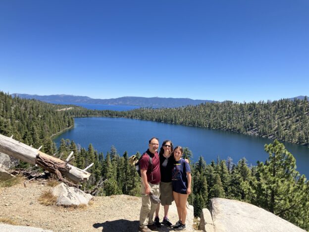
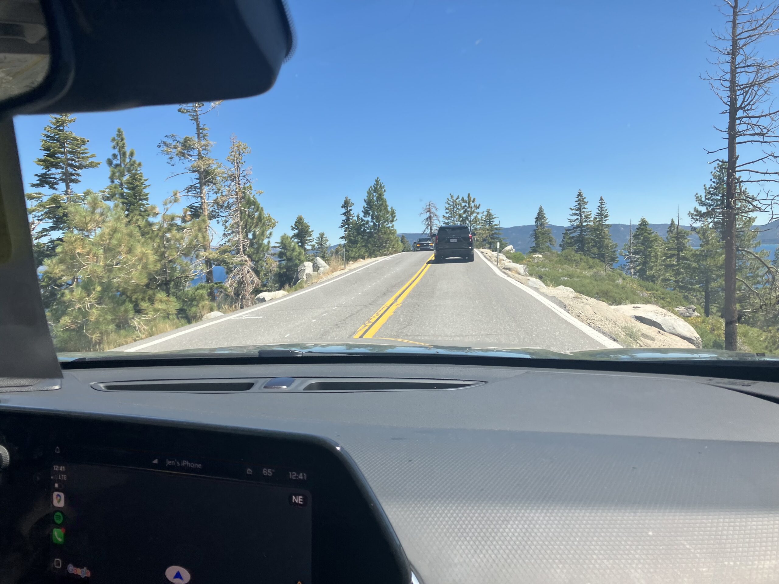
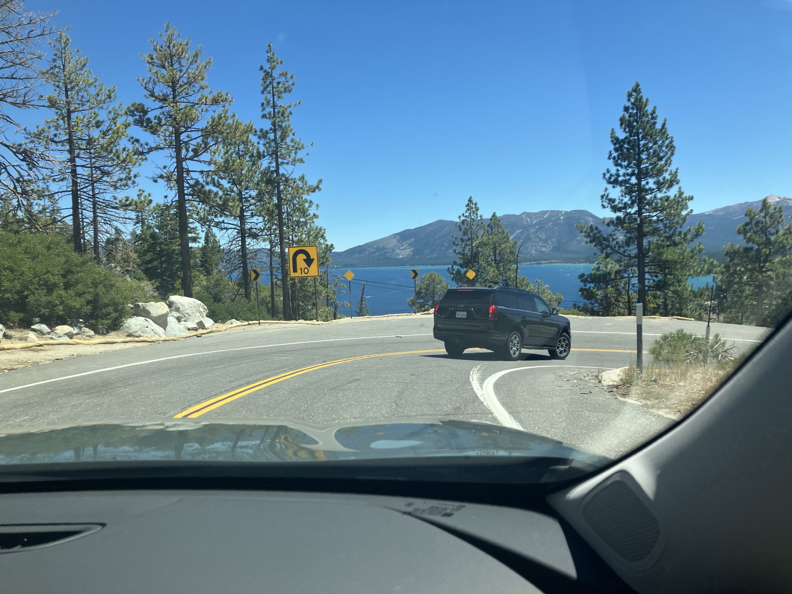
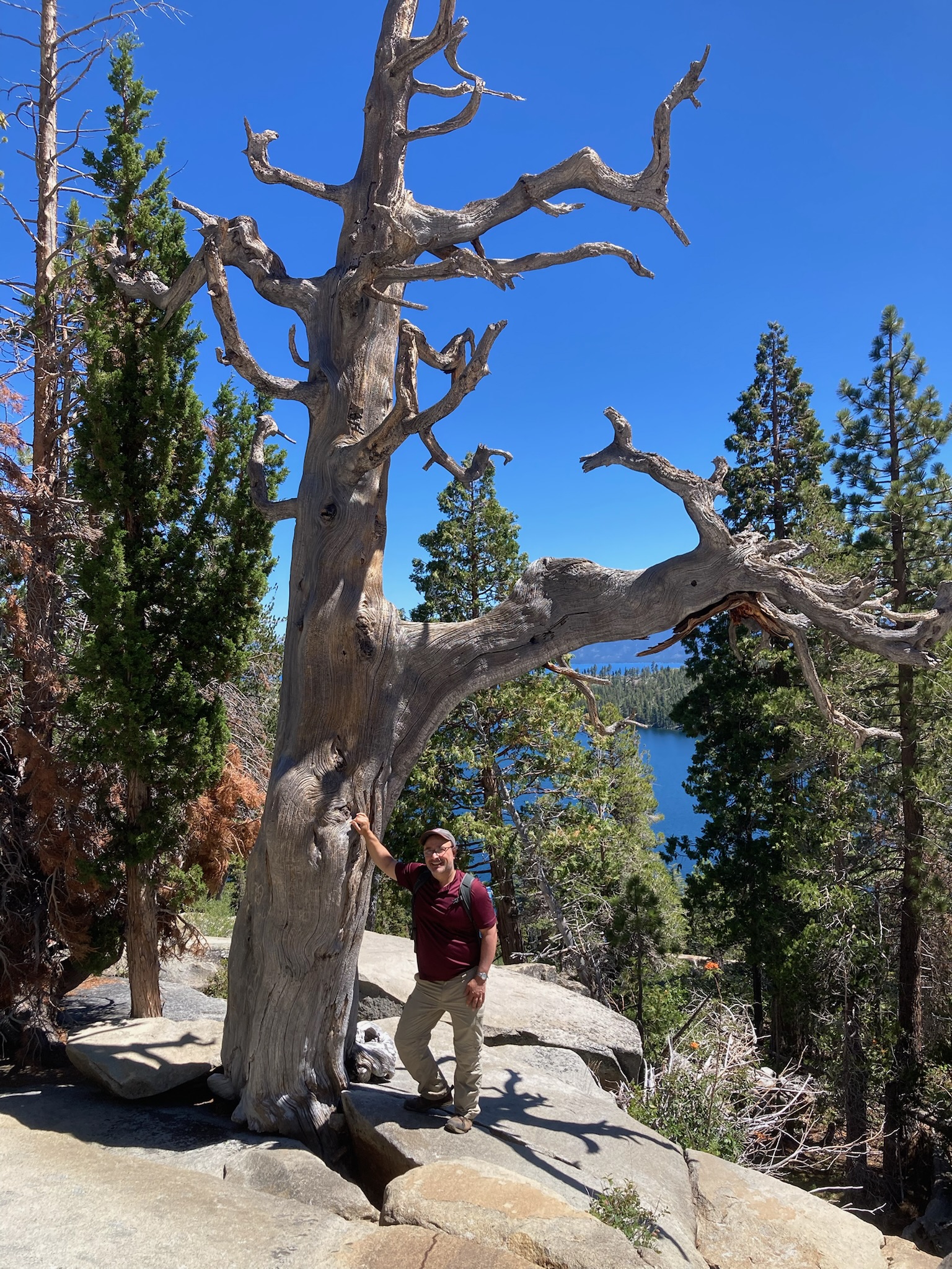
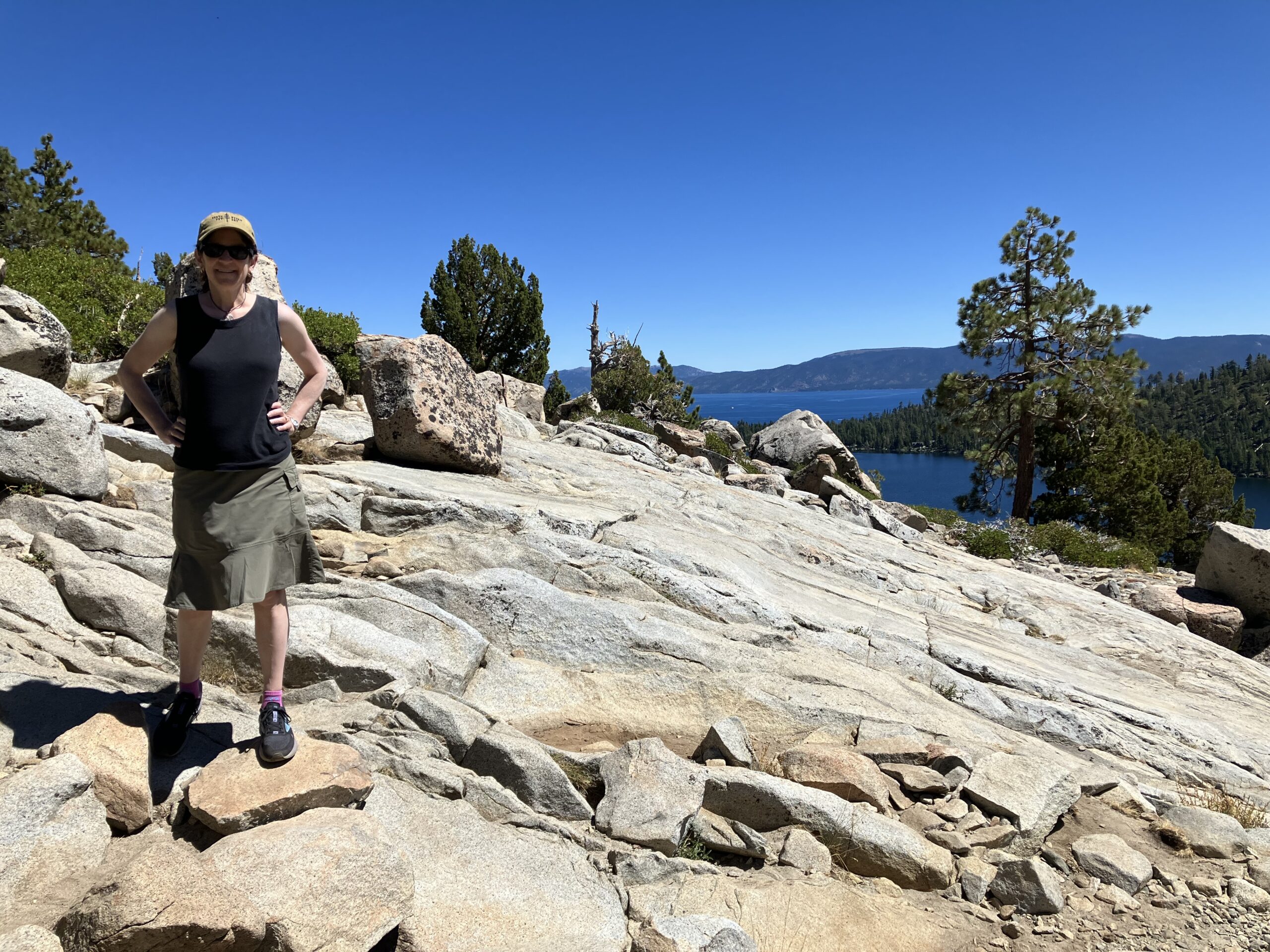
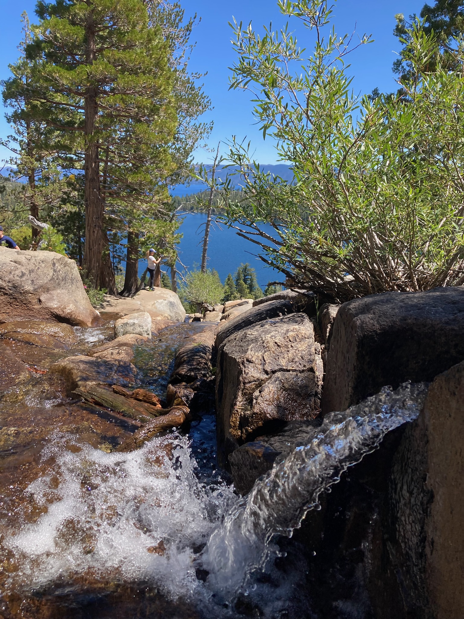
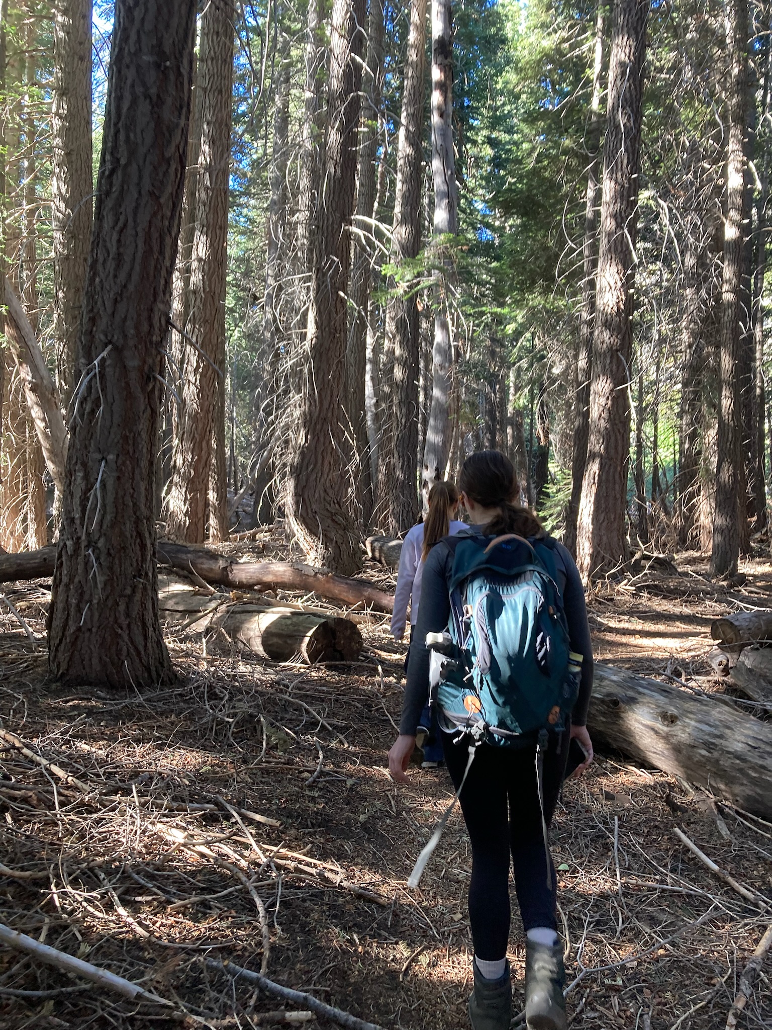
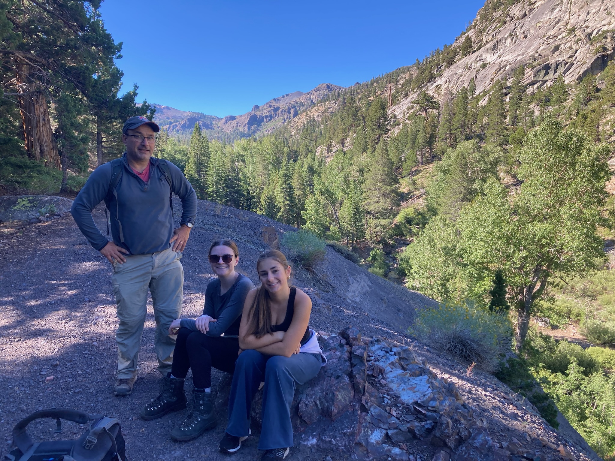
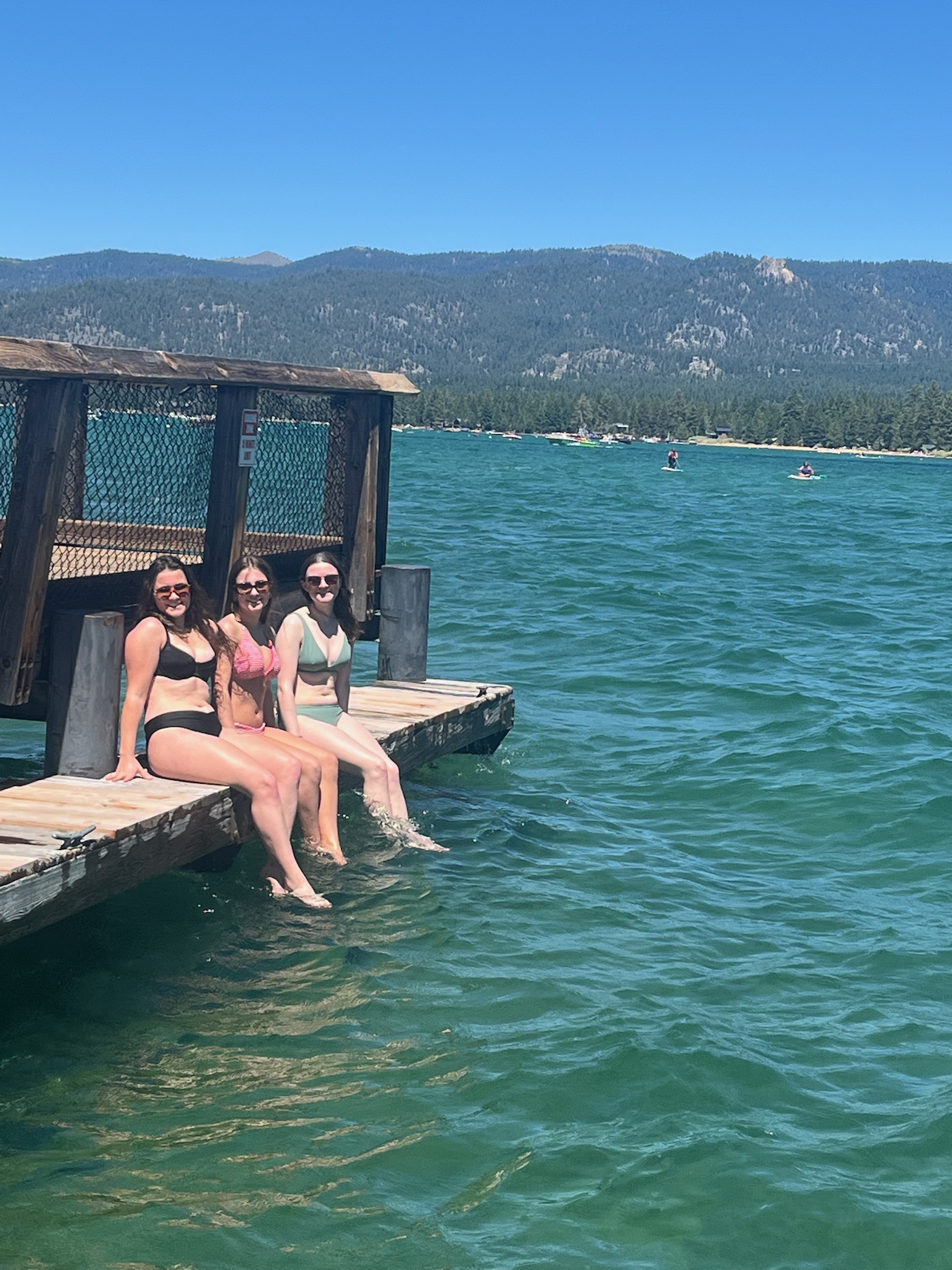
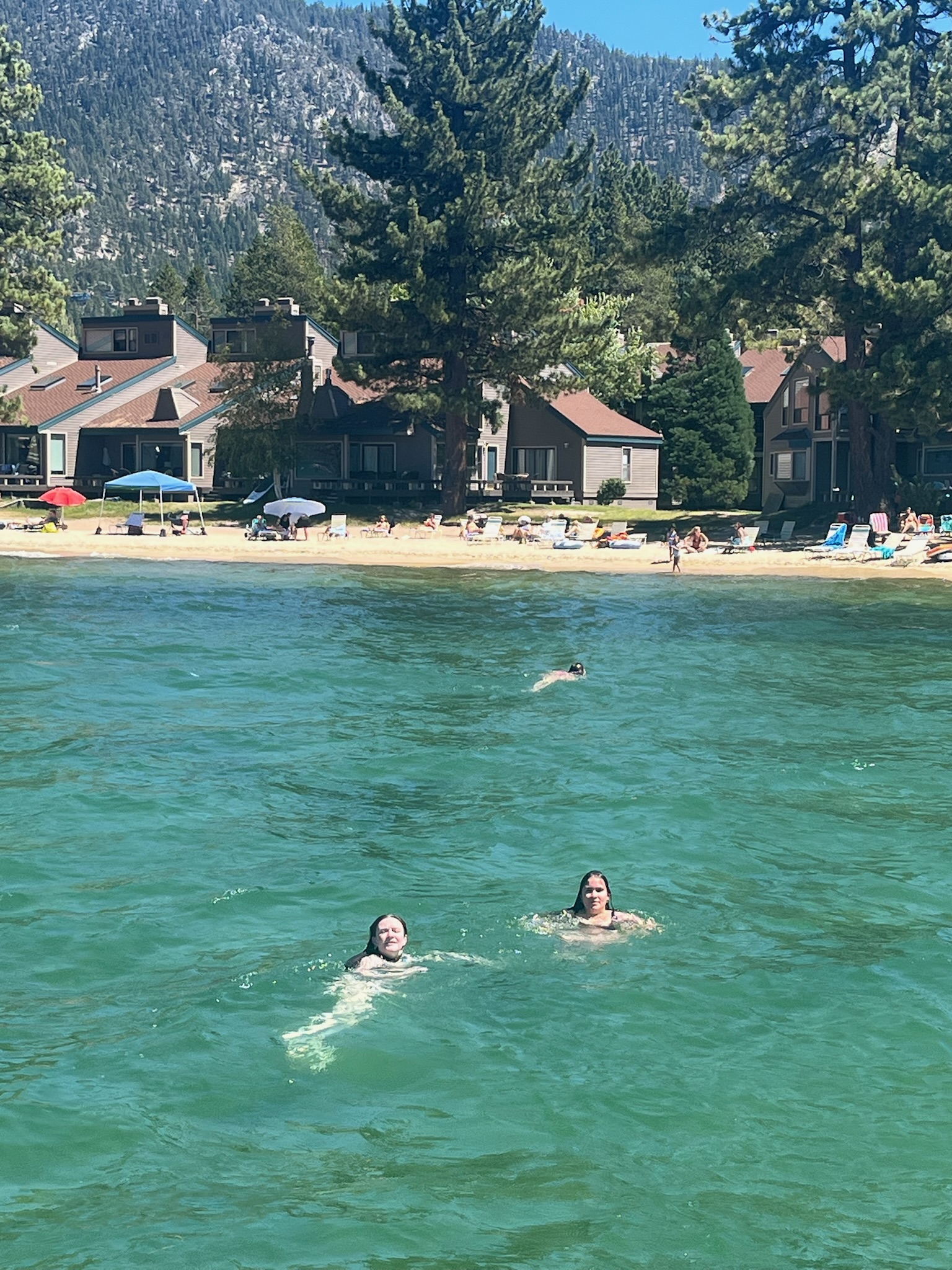
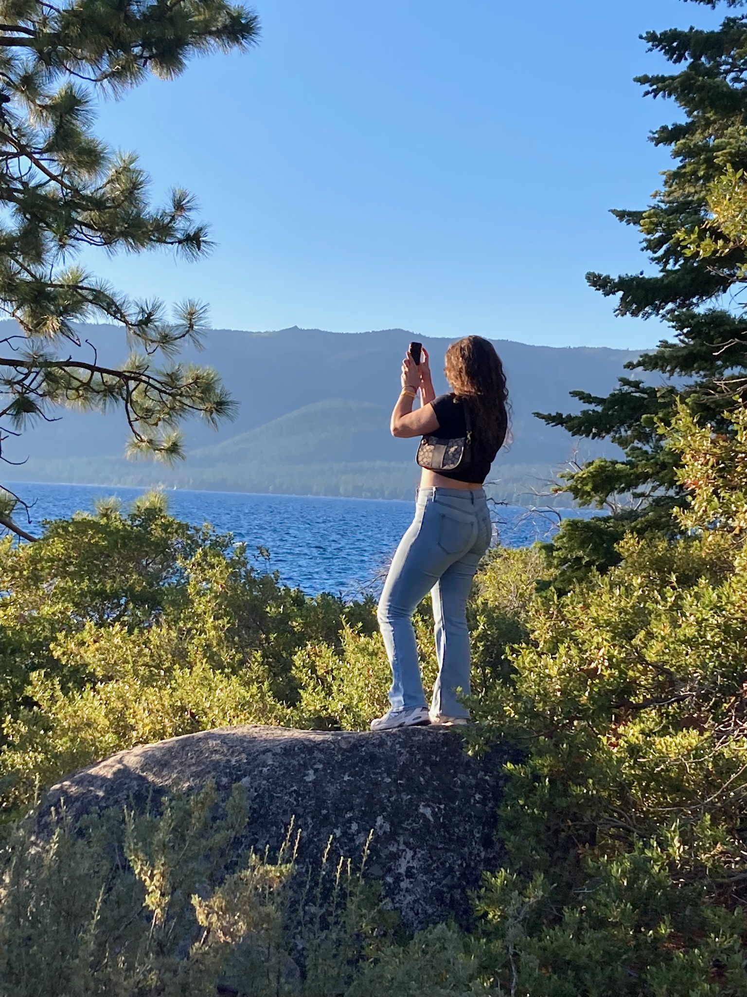
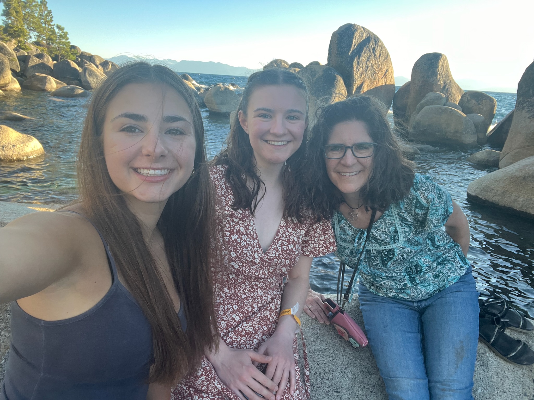
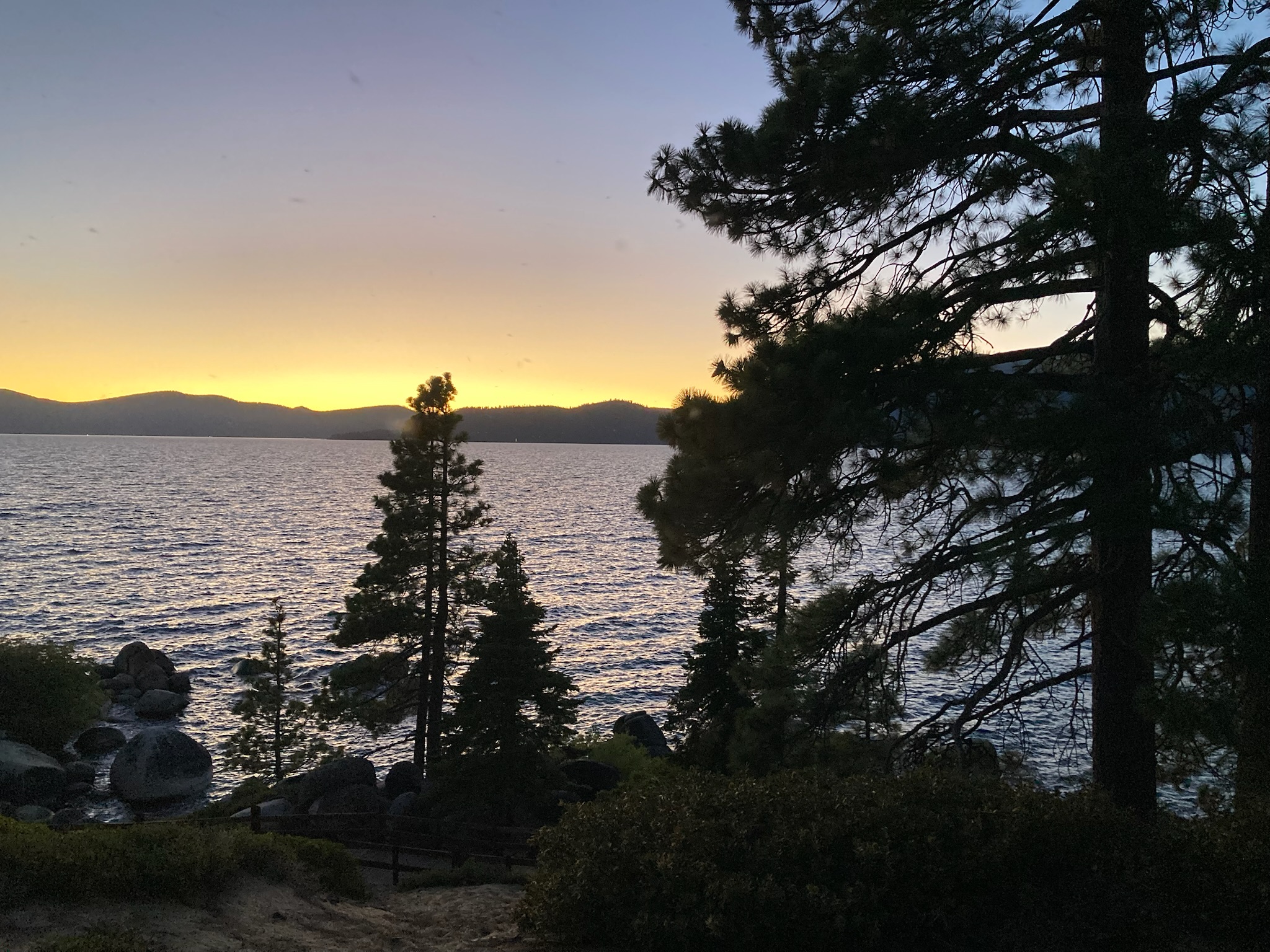
We’d decided to go visit Truckee, CA on our final day, about an hour and a quarter away. It’s not really on the way to Sacramento, but the Truckee to Sacramento route is all on a highway — good news since we were not looking forward to traveling back the way we’d come, especially in daylight. (When we’d driven along the steep, winding mountain roads in the middle of night on our way to Lake Tahoe, we couldn’t see much. But sometimes we’d see a great darkness next to us, with a lot of twinkling lights far, far below. Later, Zoe pointed out to us the road we’d come in on — high up along a seemingly vertical mountain face, with a sheer drop and — of course — no guardrails.) The bad news was that we had to drive up the west side of the lake, past Emerald Bay again. This was the third time we had to do that white-knuckle drive, but fortunately once we passed the bay the drive was pleasant. (Zoe drove separately since she would be returning to Lake Tahoe, and she didn’t mind the drive at all.)

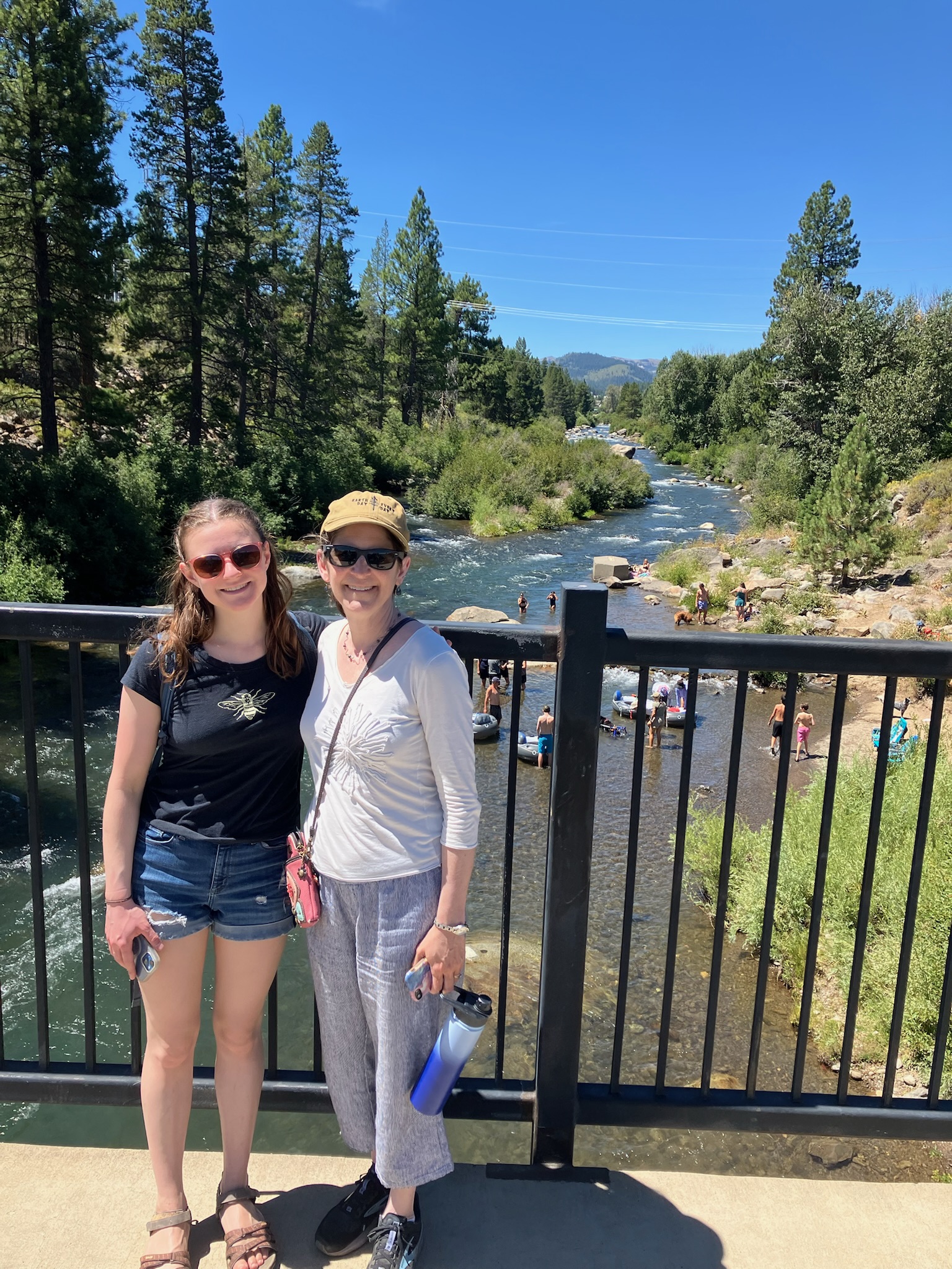
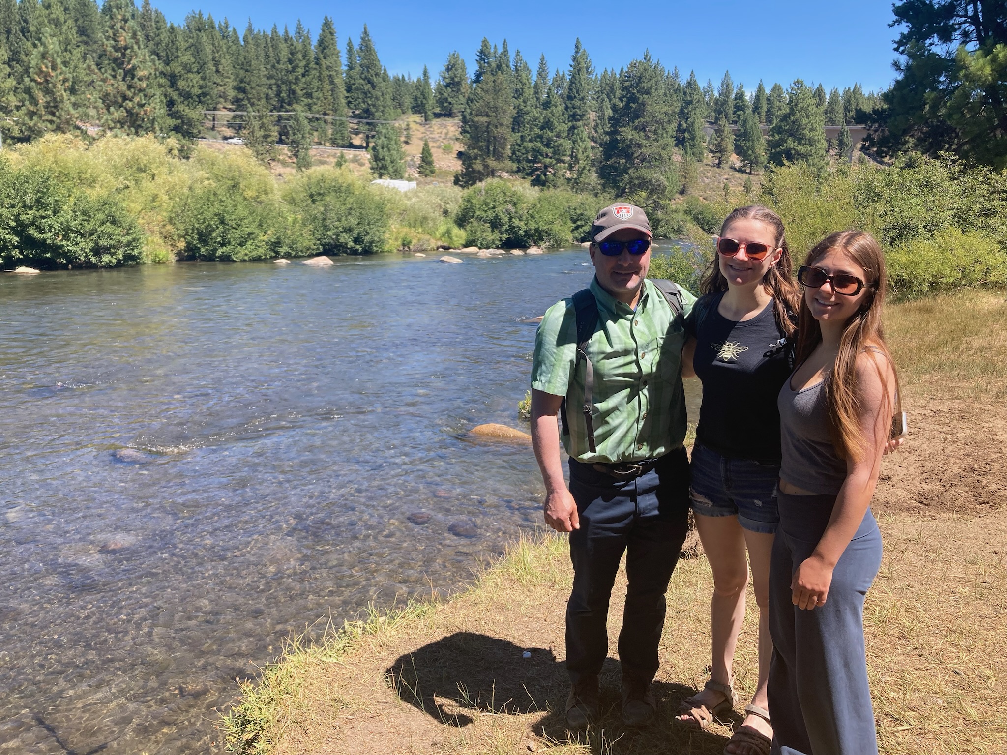
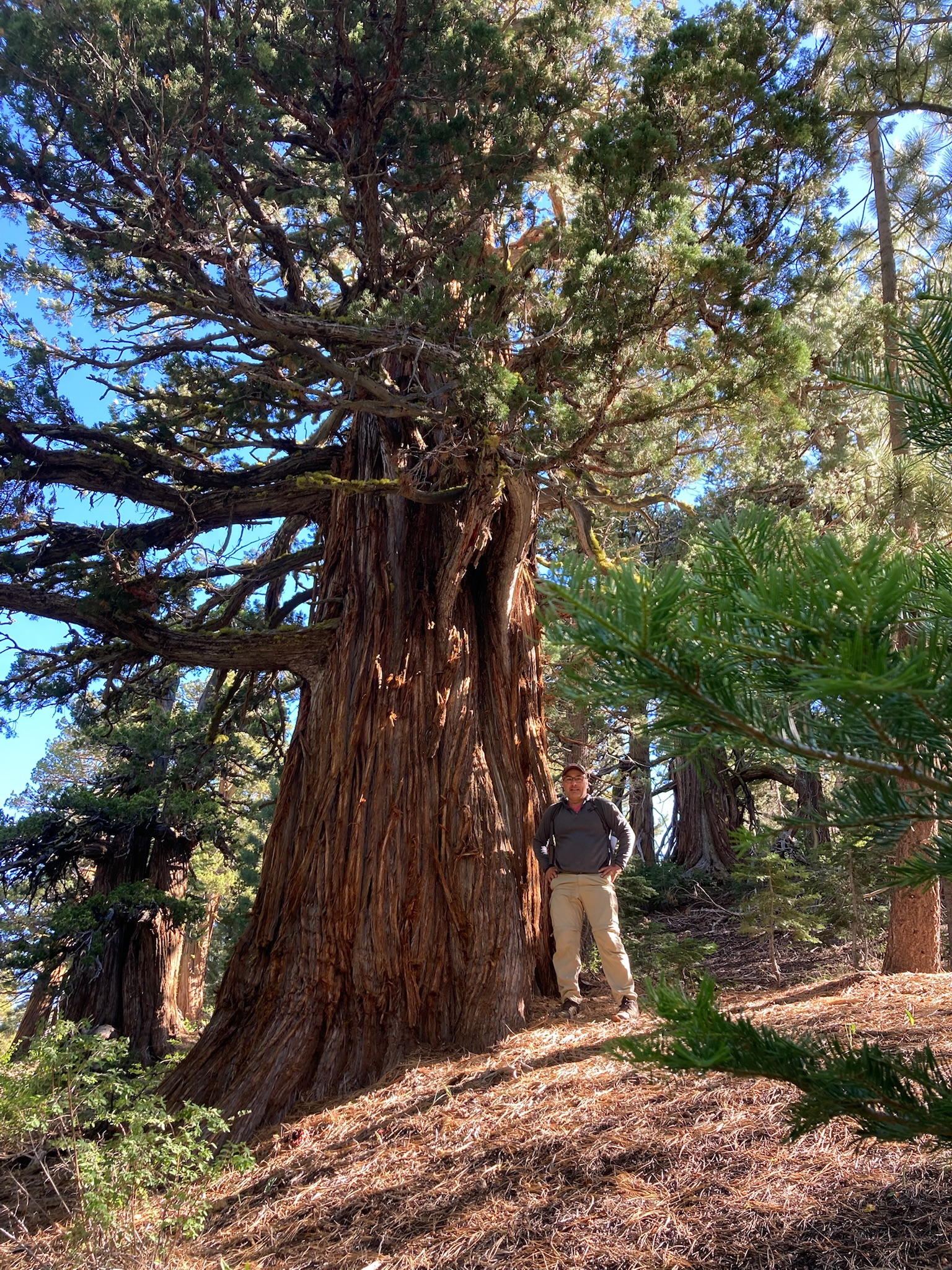
Truckee is a pretty cool little town, up in the mountains with a very Wild West vibe. It’s the site of the Donner Pass, and (a bit surprisingly) they really lean into this association. The main road is “Donner Pass Way” and there’s lots of Donner Pass-themed locations in town. A railroad runs right through the center of the main street in the historic downtown, and has frequent trains — we saw three in the time we were there — which adds to the Western feel. There are lots of cute shops and restaurants, and a nearby river where people were floating and swimming.

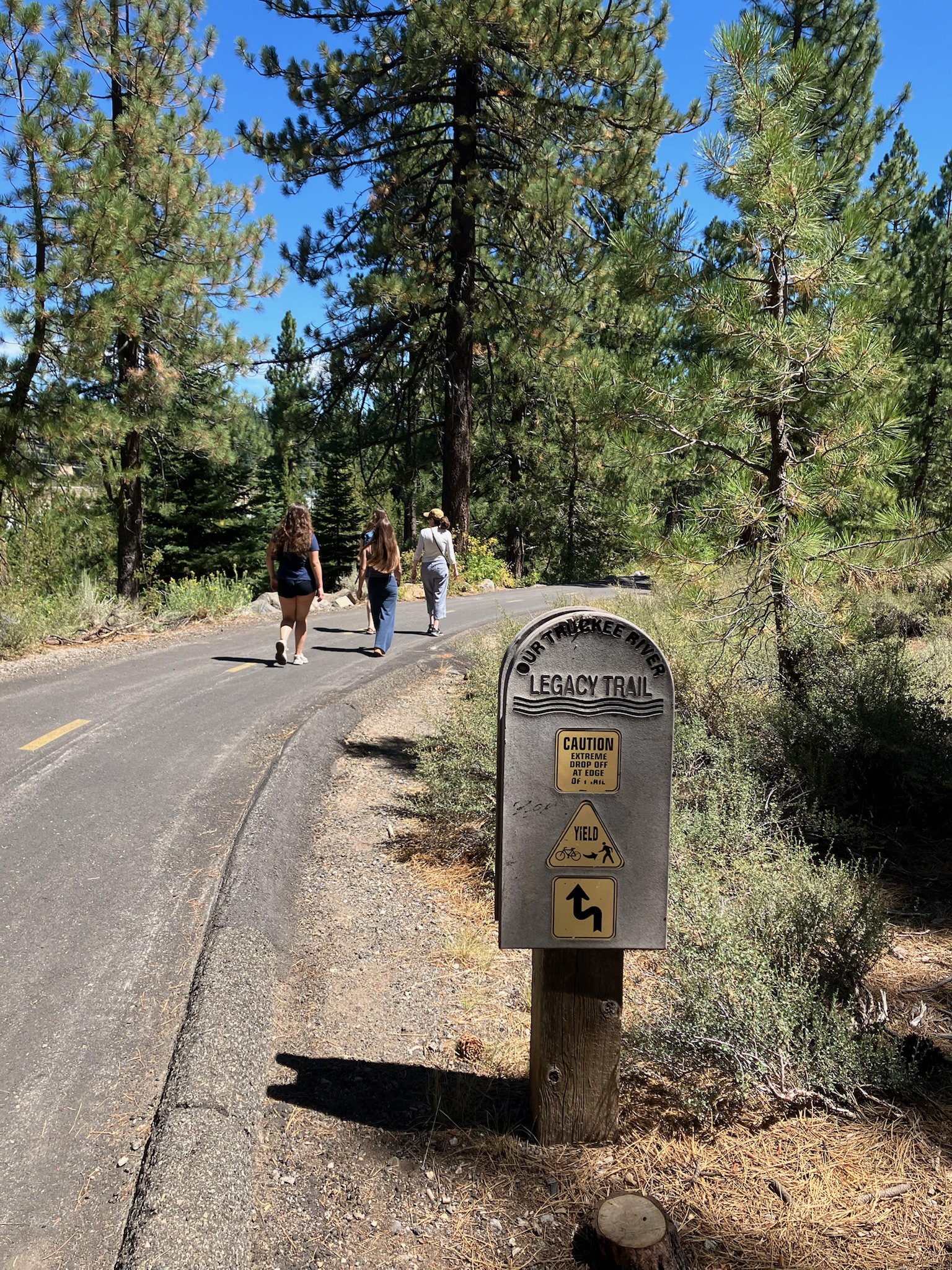
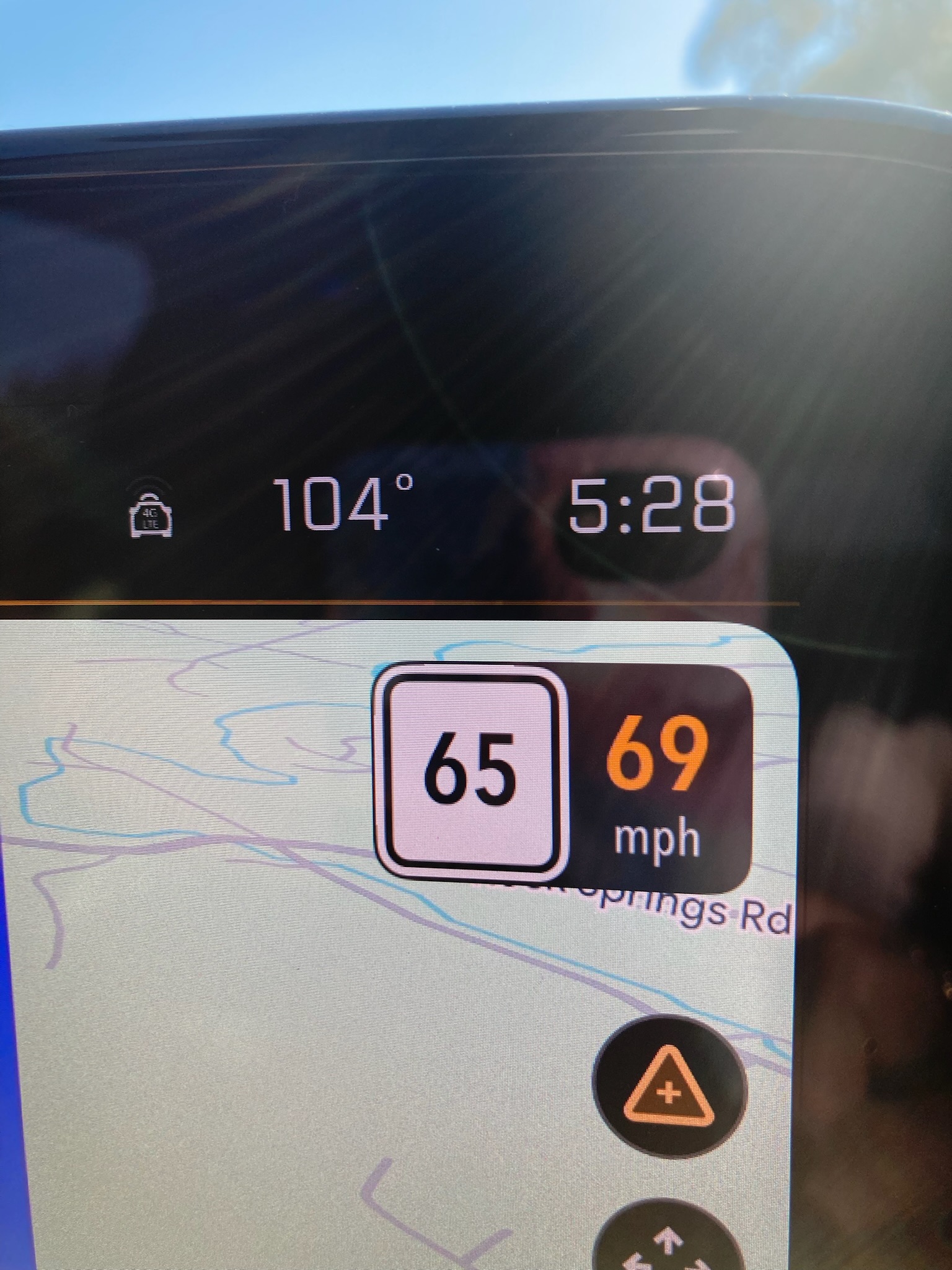
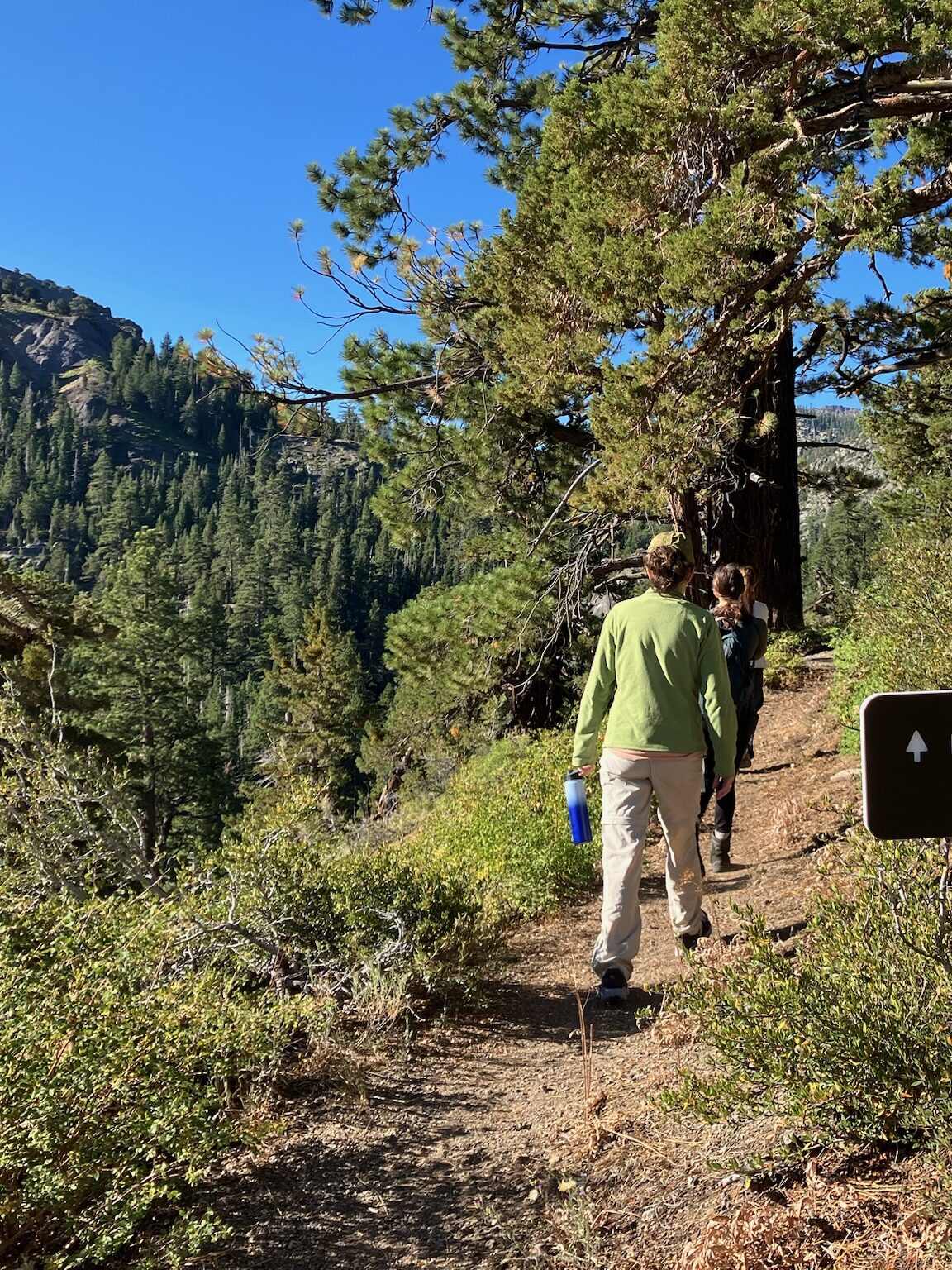
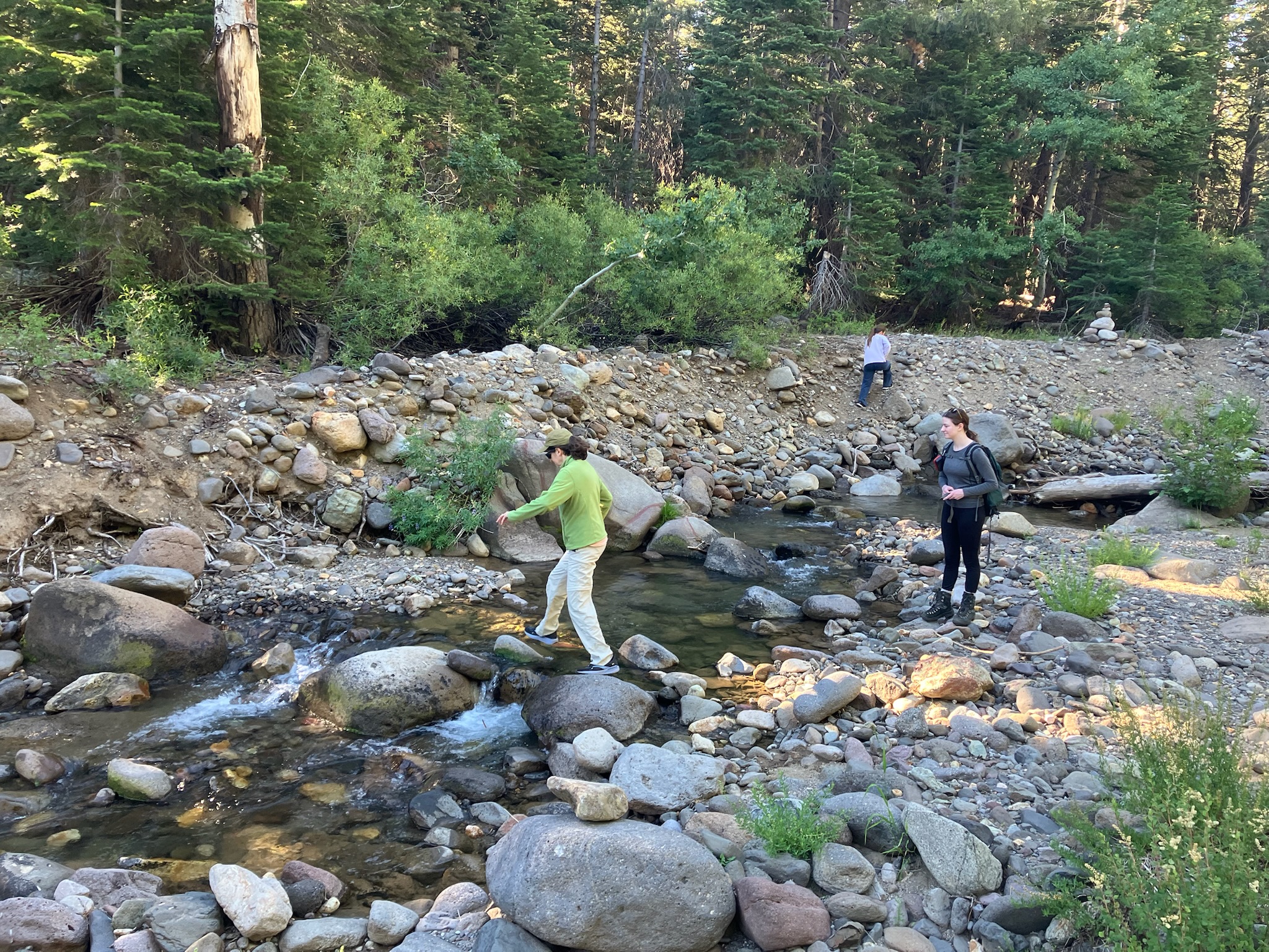
Unfortunately, Truckee had something else we’ve become unaccustomed to — heat. Lake Tahoe has had highs in the seventies every day, and Truckee was reading 88 degrees when we arrived, despite being at a similar elevation (a little over 6000 feet). I went into the visitor center to ask about a short walk or hike that they’d recommend, and the woman there suggested the Truckee River Legacy trail and gave me a map that implied it was pretty close by. It turned out that this was rather misleading, and we had a long, hot, and not particularly scenic walk to get there. By the time we reached the river, half the group was already ready to turn back. But we persevered for a bit and did have a mildly pleasant stroll along a riverside bike path, but the heat sapped much of our energy and enjoyment.

We headed back into town for lunch and were stymied at trying to find a place with air conditioning. I don’t think it’s usually all that hot in Truckee, so most places had outdoor seating and open windows. We eventually settled for an outdoor table under an umbrella, and it was really pretty comfortable once we’d recovered from the sunny walk. We had some free time to explore the nearby shops, and spent most of it in a really cool bookstore where the girls all made purchases for the trip.

Friendly Truckee dog

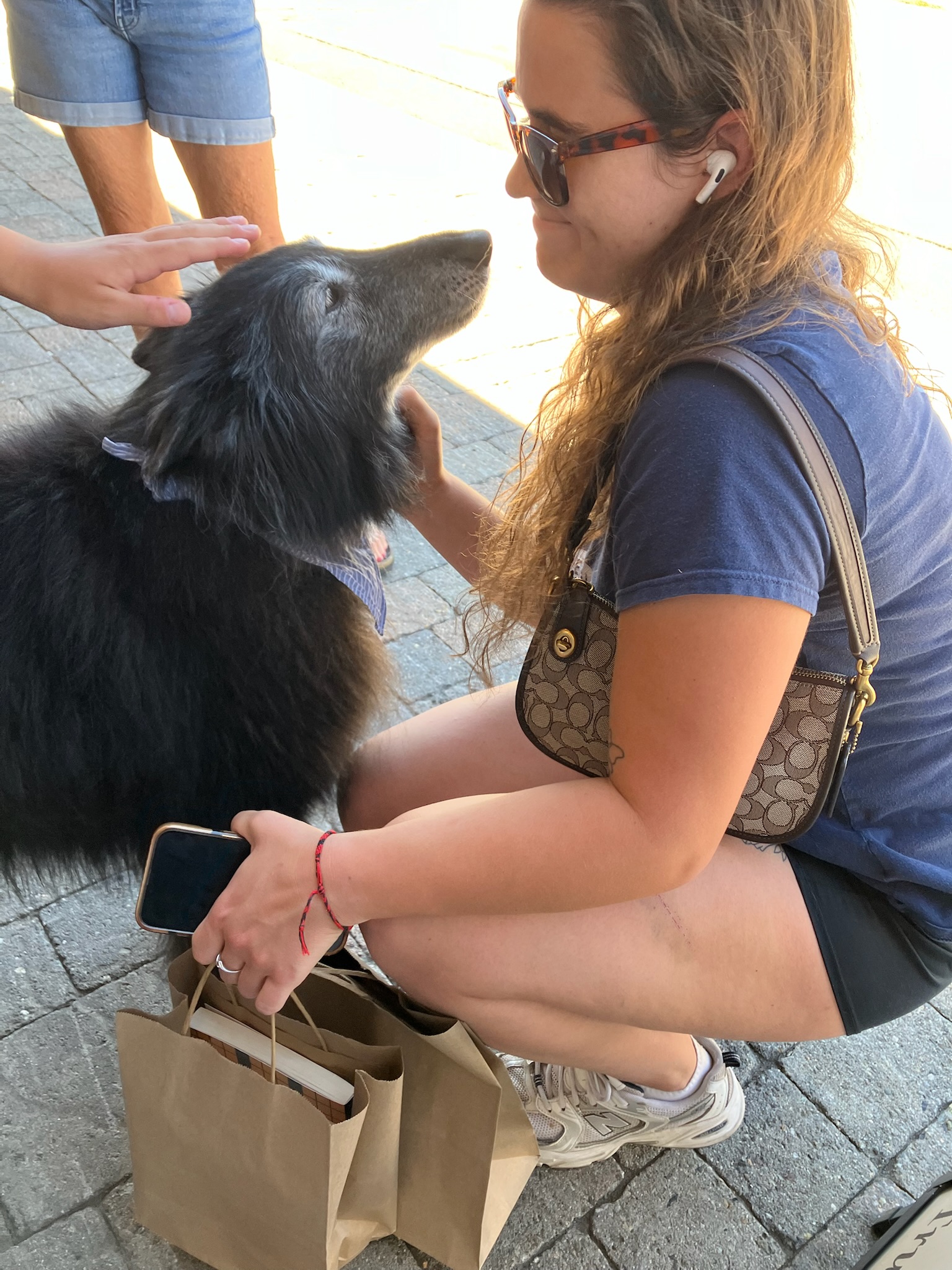
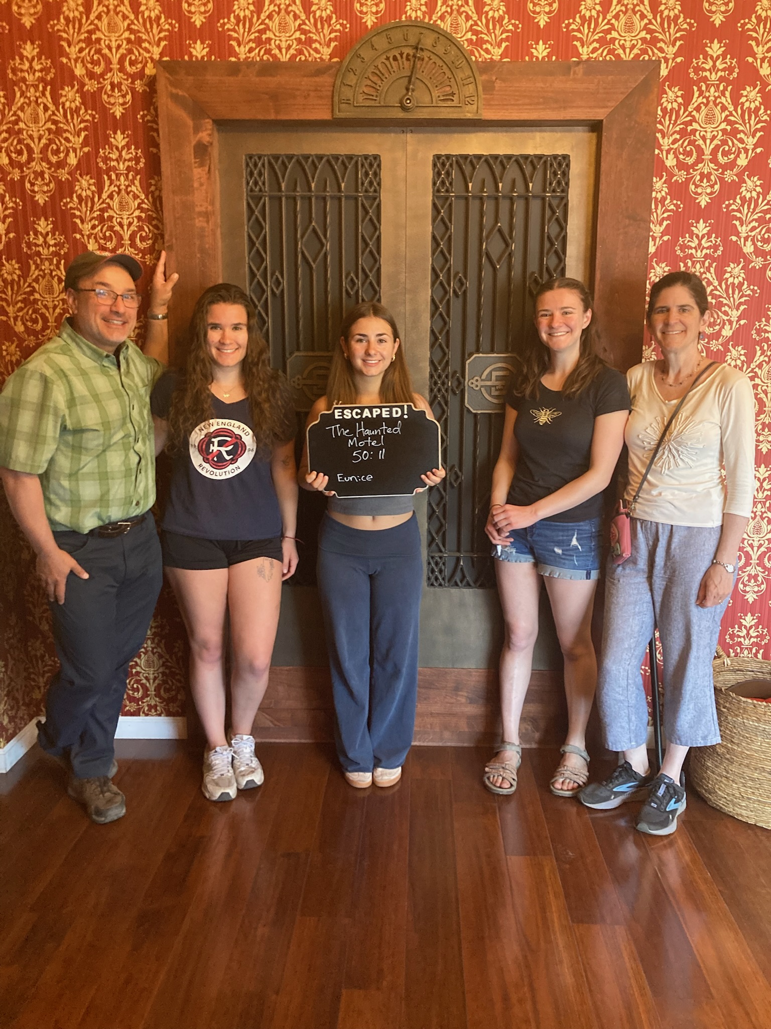
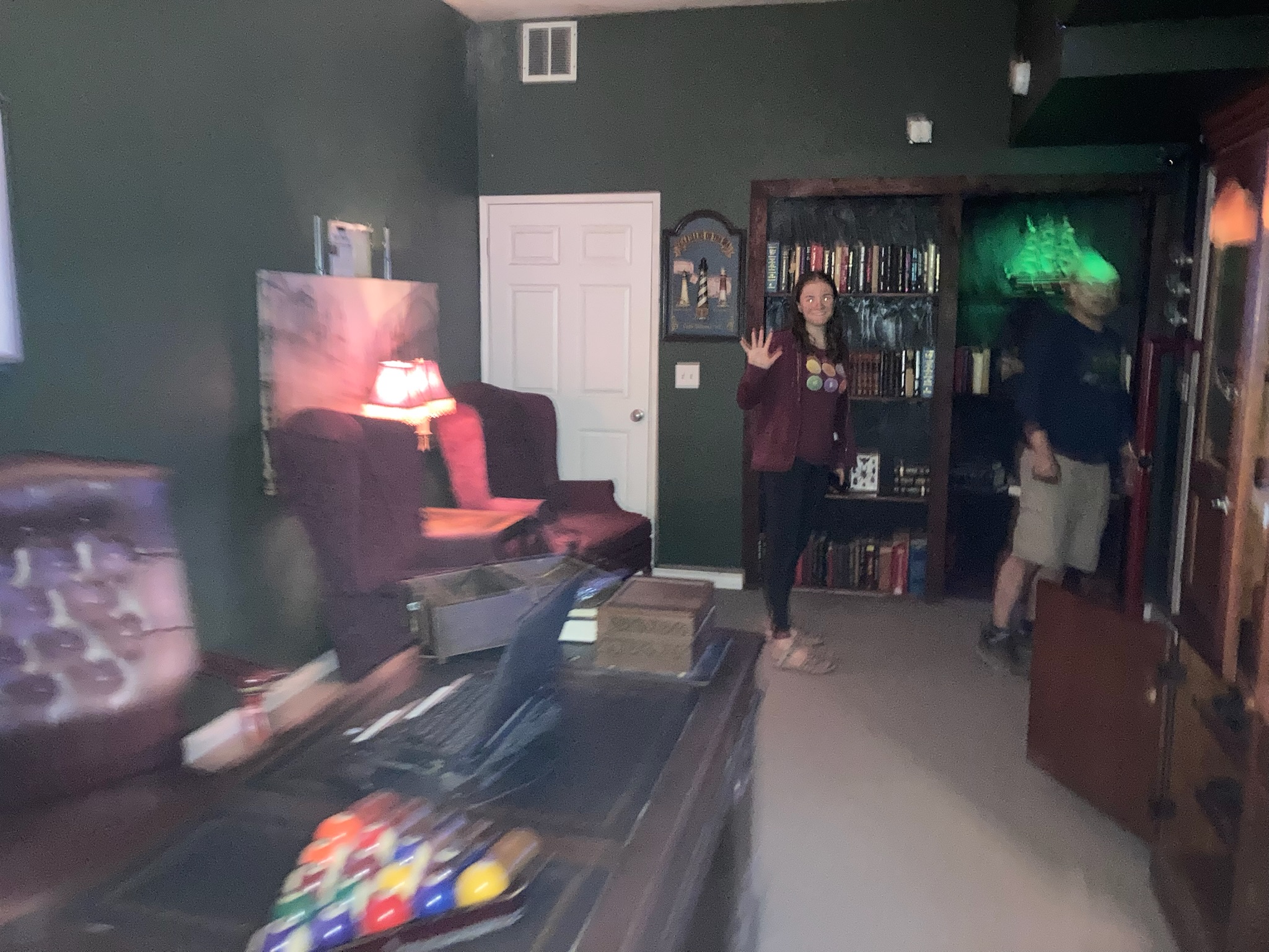
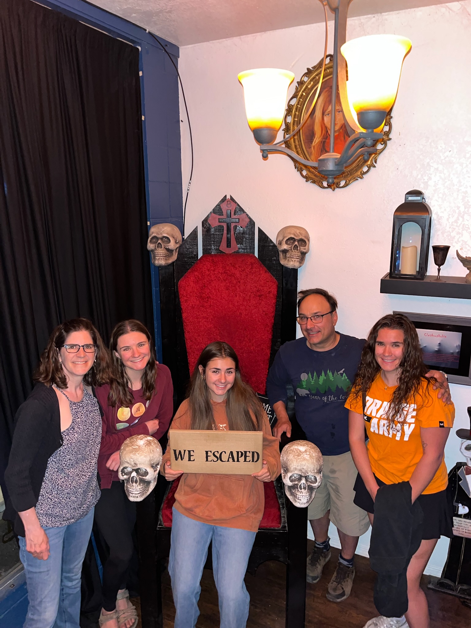
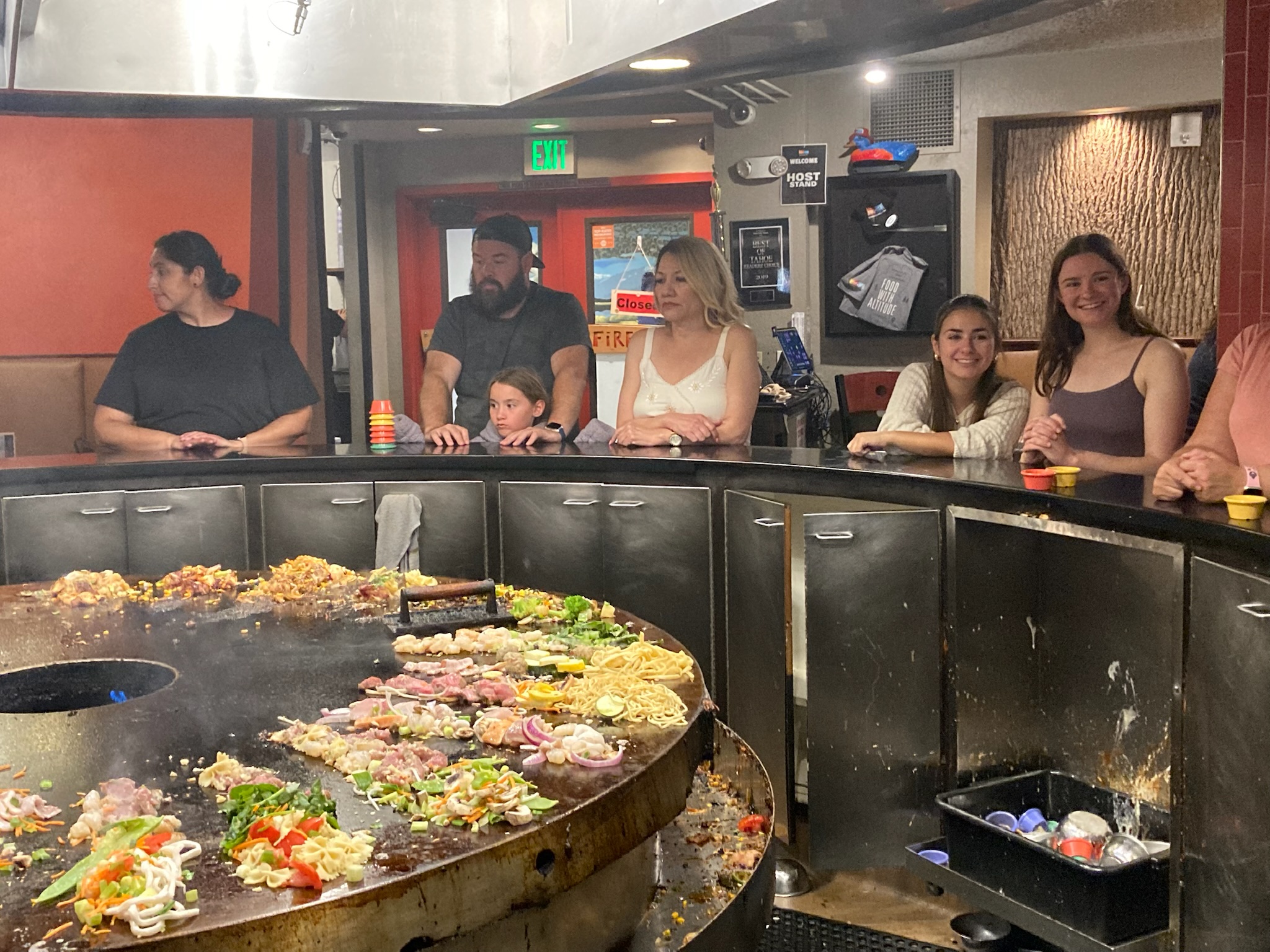
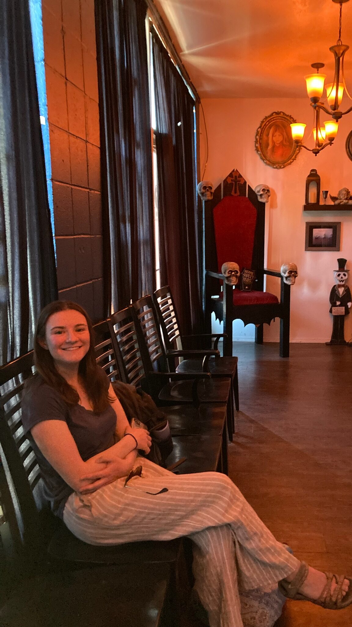
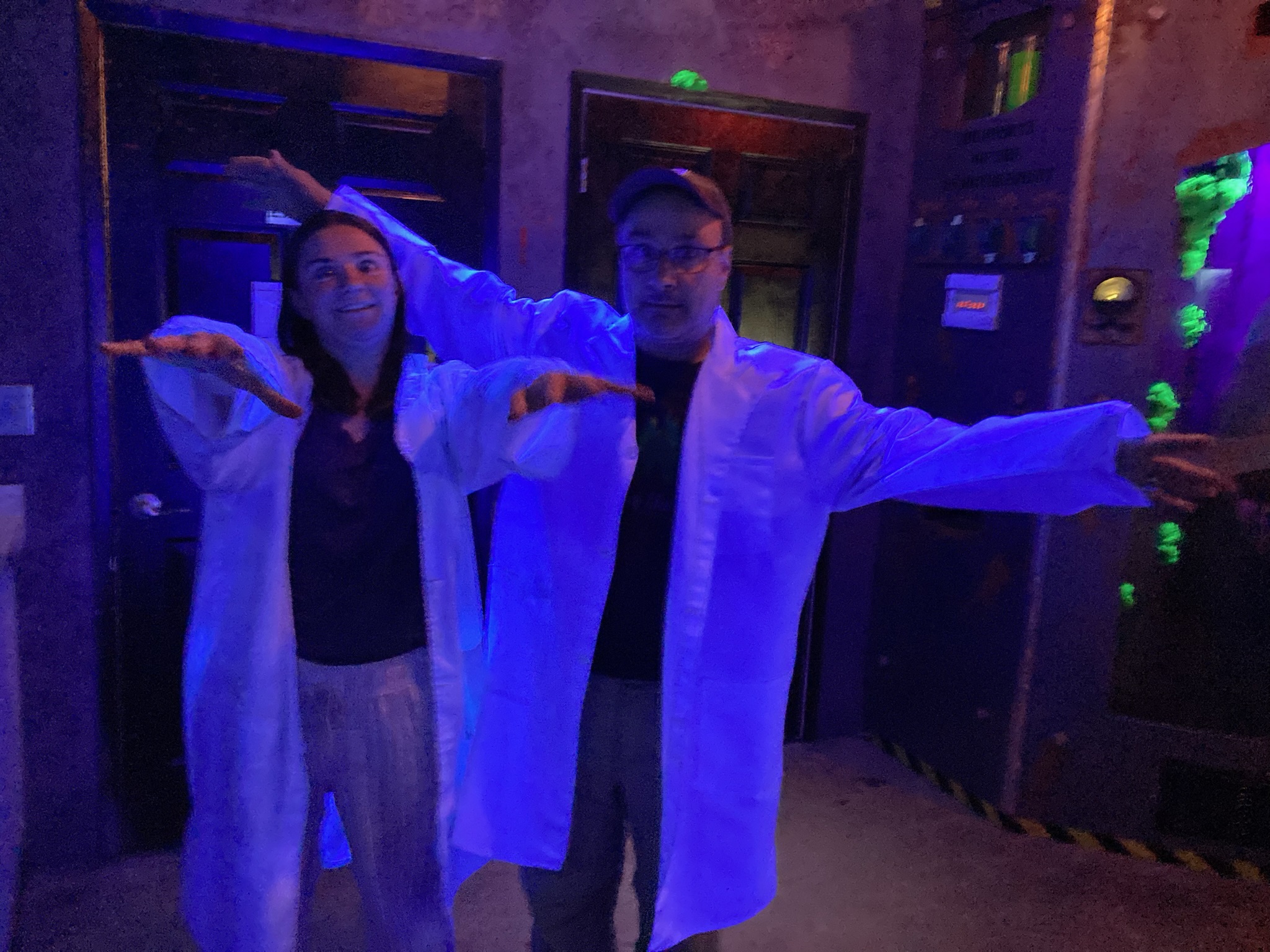
Our last activity in Truckee was yet another escape room, at Elevation Escape on the outskirts of town. It was a very cool room, themed as a haunted motel, with a very talented gamemaster. We did end up getting a few clues this time, but mostly when things in the room weren’t functioning quite right. We managed to escape in about 45 minutes again. With a bit more time to kill, we did some shopping at the next-door thrift store, a sort of Goodwill but where all proceeds benefitted the Humane Society and there were little pictures everywhere of adorable dogs admonishing you not to shoplift.

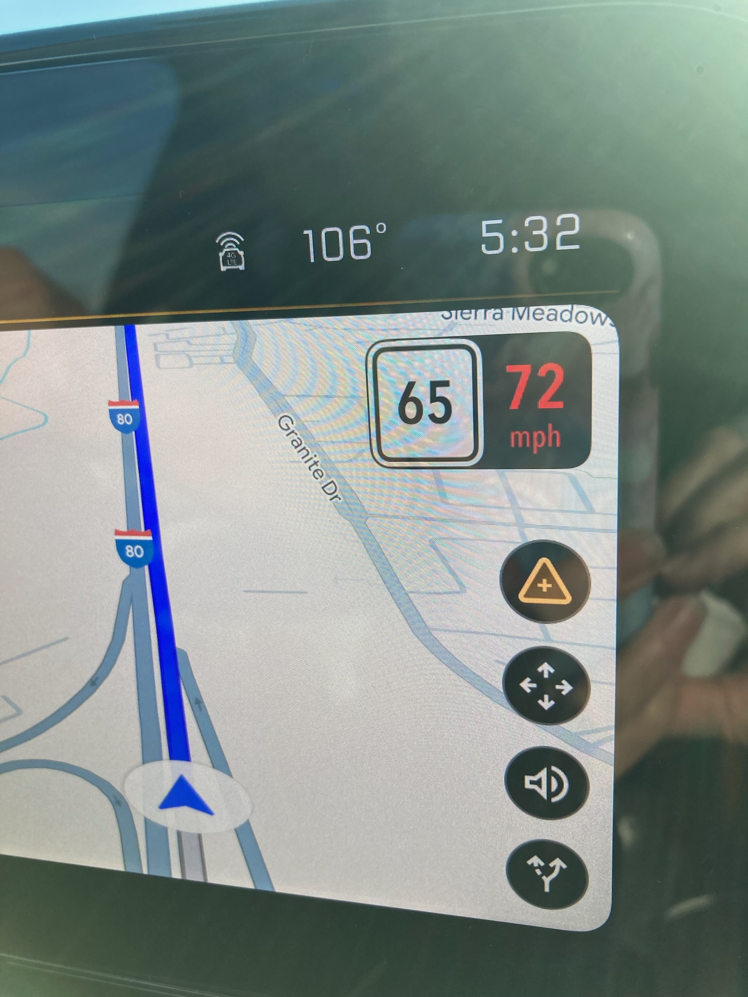
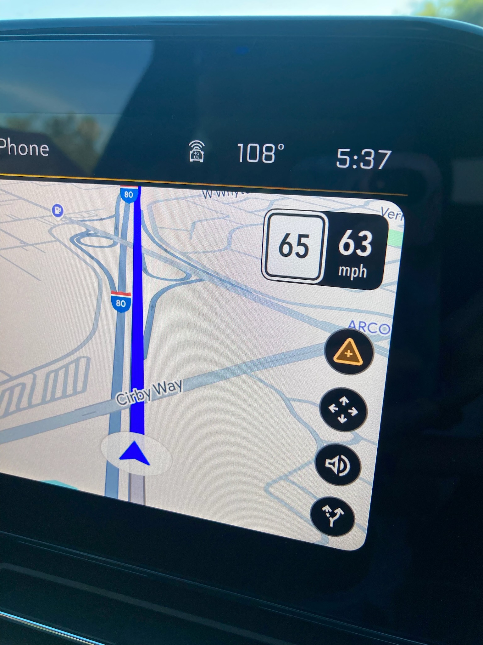
Then it was time to say goodbye to Zoe and head west to Sacramento. We drove over the Donner Pass (elevation 7200 feet) and then began to drop. As the altitude diminished, the temperature rose. By the time we neared Sacramento, about an hour and a half later, the temperature was 108 (at 6 pm!) Unfortunately we had received a notification that our flight was delayed, so we were reluctant to head to the airport several hours early. We decided to check out the Historic Waterfront neighborhood and go in search of ice cream.

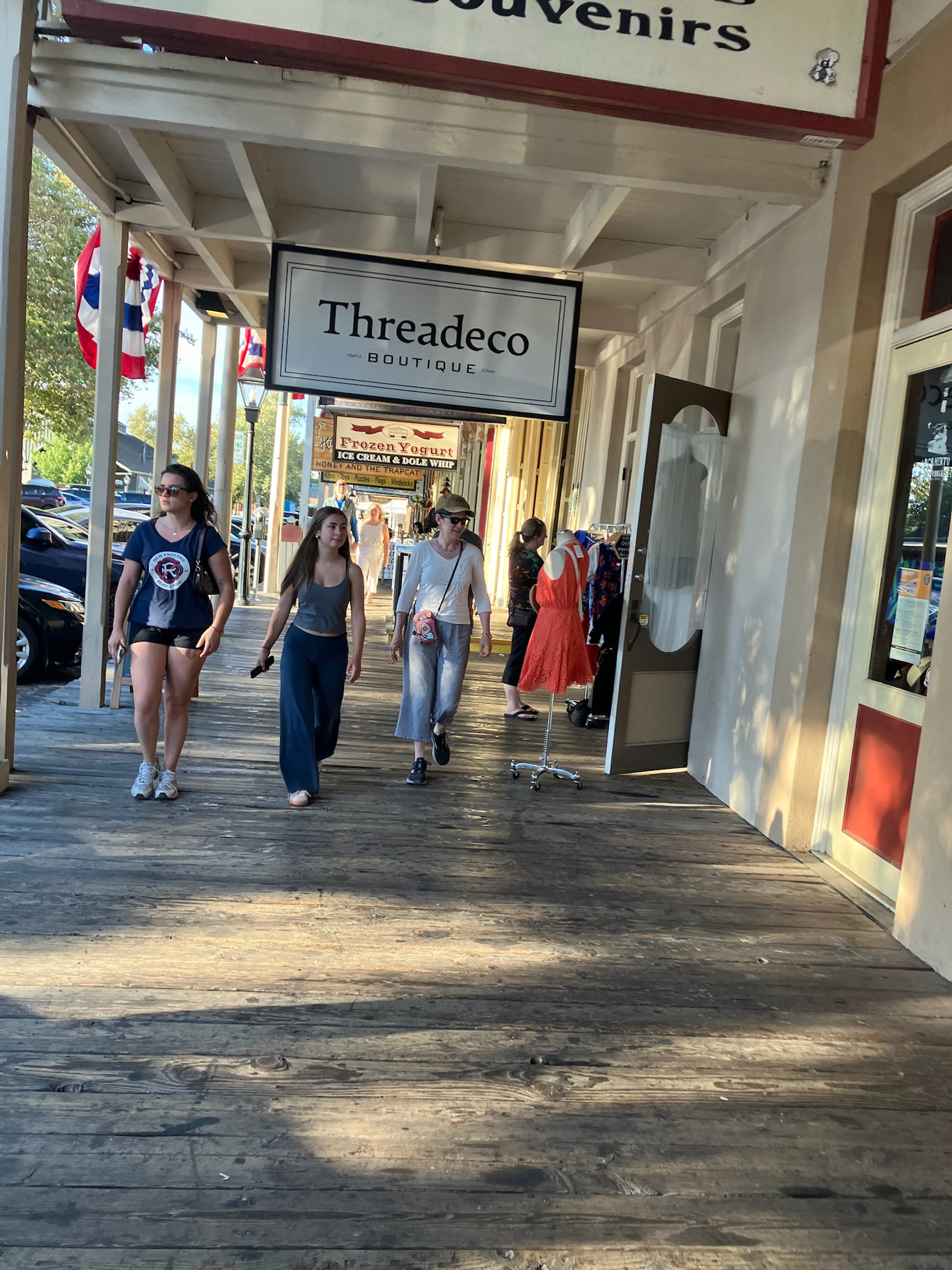
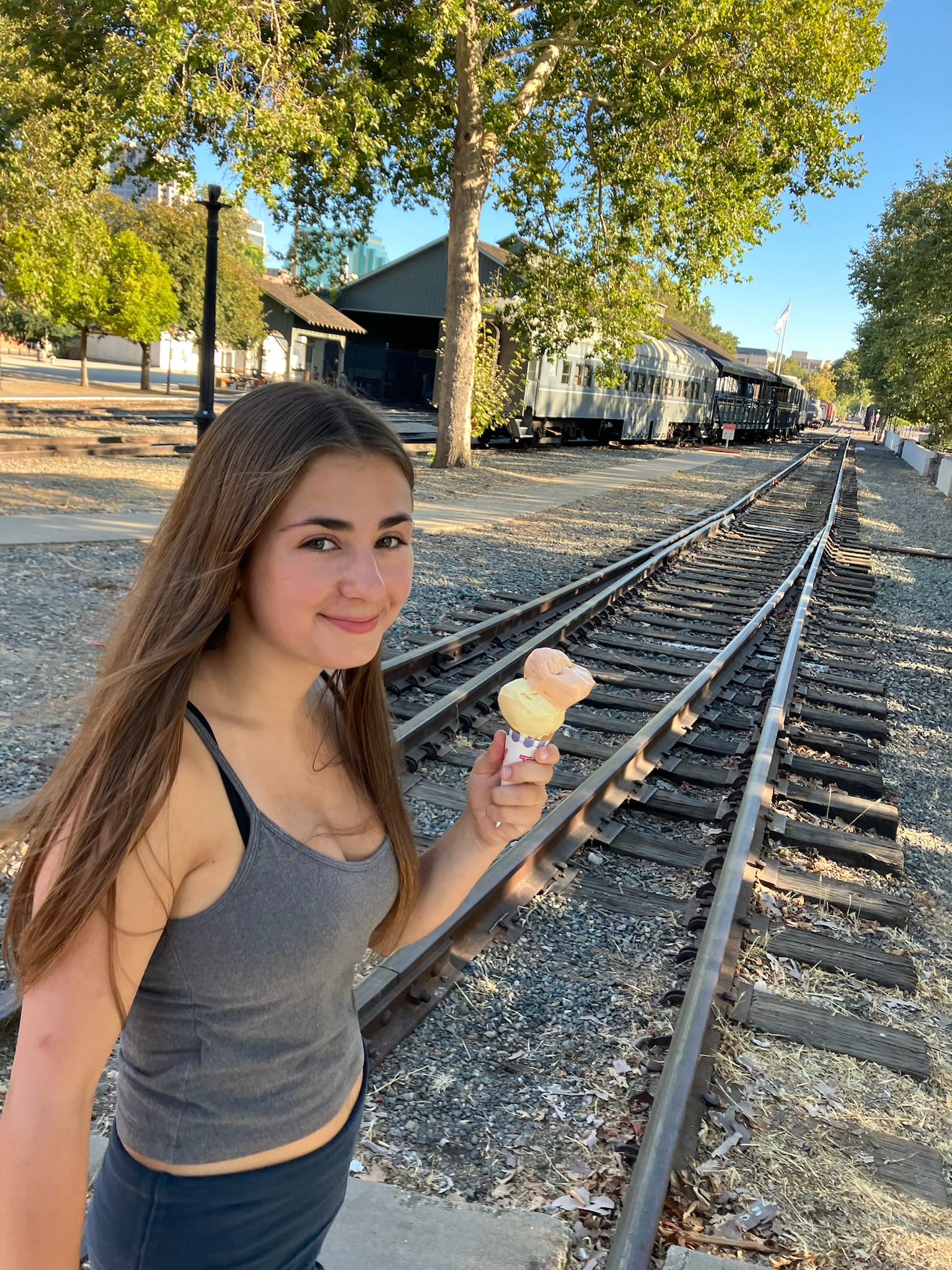
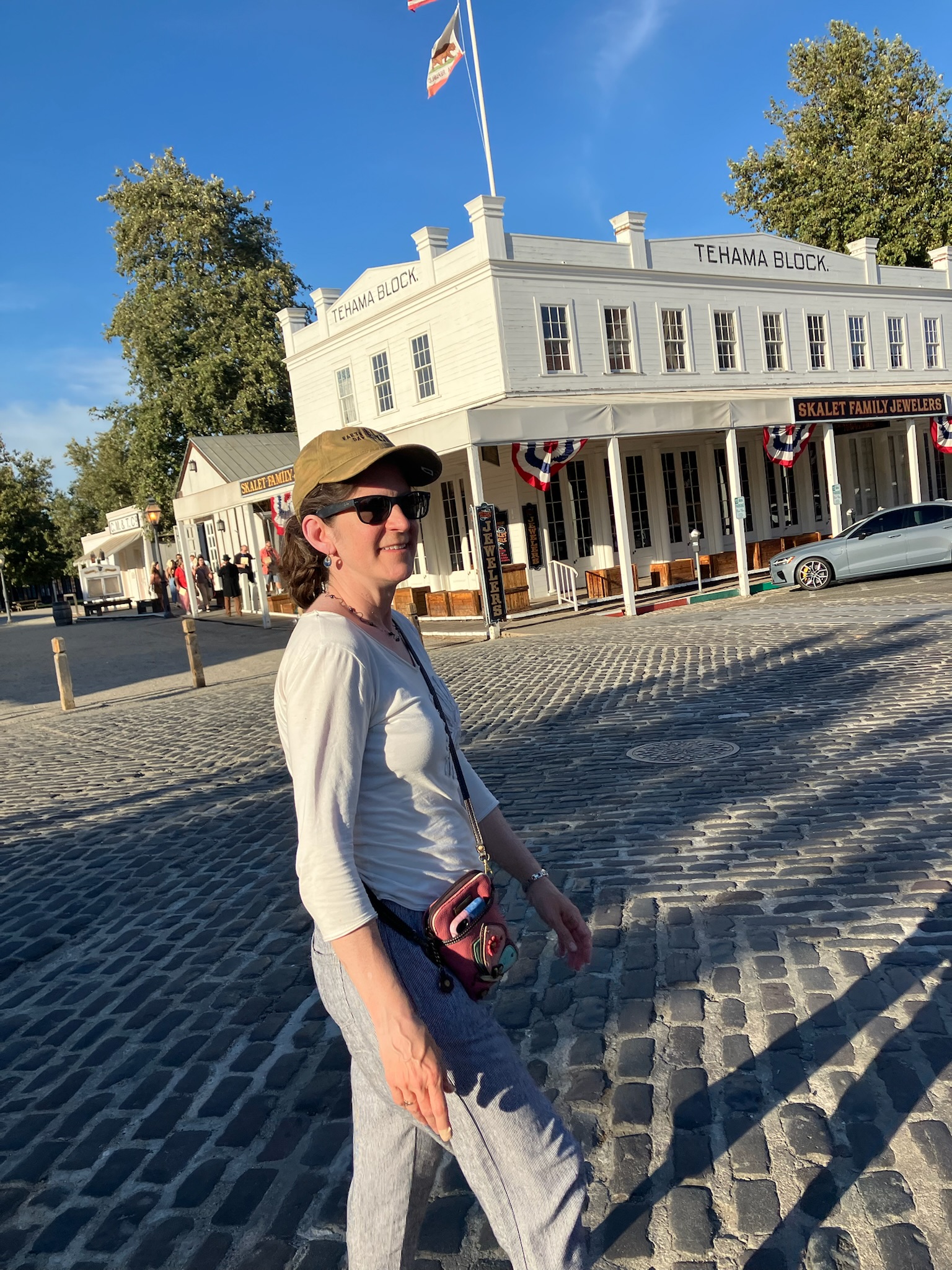
Historic Sacramento was a charming Wild West themed neighborhood with cobblestone streets, shops, bars, and restaurants. What it didn’t have a lot of was parking. Having passed up the $20 parking garage, we did a few loops through the streets before getting lucky and swooping in to a newly-vacated spot. Fortunately Sacramento had far more numerous ice cream options than South Lake Tahoe (perhaps having something to do with temperatures of 108), so that cut down on whatever complaints we might have gotten of walking around in the heat. We found some delicious ice cream and carried it to the riverfront, across another set of historic-looking train tracks. (The Colorado Railroad Museum is nearby.) Unable to figure out anything else that we wanted to do in the heat, we then headed to the airport.

The Sacramento airport is small and easy to navigate, with almost no security line — and our flight time kept getting pushed later and later — so we were in no rush when we arrived. It was lucky we came when we did, though, because we got through security at 7:30 and discovered the airport lounge closed at 8. Fortunately this gave us time for dinner and a drink before going out to sit at the gate for approximately four hours. By the time our flight left after midnight, we were pretty tired, but luckily we somehow got upgraded to fourth row more-legroom seats despite refusing to pay for seat reservation in advance (in contrast to the flight out, when we were in the very back row). We got cookies that Nadia told us the rest of the plane didn’t get, and it was a smooth and easy flight that we actually managed to get a little sleep on, though we were still pretty tired when we arrived in Boston 5 1/2 hours later. All in all, not a bad travel day.

On foot and on the water

On our last full day here, Bob and I decided to go for another run. Our plan is that we’ll get adjusted to running at this altitude, and then when we get back to sea level and full oxygen we’ll be super-athletes. I’m not sure if the less than two miles we managed today will do the trick, but time will tell.

To be fair, we did some hiking as well. Some very STEEP hiking as a matter of fact. We ran the 1.4 miles down to the Stateline district to check out Van Sickle Bi-State Park. (Bi-state! Get it?) As you may recall, Stateline is a very bustling district full of shopping centers and bars and casinos — not a place you’d expect to find a park. But right there behind the Target parking lot, the development abruptly stops and ahead of you is just steeply sloping ground covered with pines and rocks. (On the main trail in, the Heavenly gondola travels above you, heading for the top of the mountain. You can ride the gondola up in the summer for fantastic views, but it costs $80!)

We walked a couple mile loop trail, which took us quite a bit up the hill to a panoramic view of the lake (with the casinos rising in front in one section, in sharp contrast to the untouched shoreline on most of the rest). Even the portions of the trail with no view were very pleasant, with tall pines, wildflowers, and the crisp mountain air that we appreciate so much. (We didn’t come anywhere close to the top. Shortly after the turnoff for our loop trail, the mountainside seemed to become essentially vertical. If you continue in that direction, you can get to the Tahoe Rim Trail, a 165-mile trail that circumnavigates the lake, from up in the mountains that surround it. We did not go that way.)

On the way back we managed to run for part of the way, but eventually accepted defeat and slowed to a stroll. We were able to walk the last section back along the water, through the beach of the next-door marina and onto our own resort. Nadia and Lanie were still in their pajamas, watching Harry Potter. (All eight movies are available on the TV here, and they have made it their goal to get through them all. Last night, they had gotten up through the seventh one. Bob and I had gotten a little hooked and ended up watching the last one while they were at the Hozier concert.)

By the time we’d showered and eaten, it was almost time for Zoe to get off work. We decided to have a relaxing day today, meaning we didn’t want to get in the car. The only wish list item that we hadn’t done yet was paddle-boarding, and we conveniently found that we could rent the boards at the next-door marina. Zoe, Lanie, and I took them out for an hour from the beach next door. The lake here is pretty choppy, so it was a bit of a challenge, but we were proud that all of us managed to avoid falling off. (This was more than could be said for many of the other tourists renting paddle boards.) The water is so clear here that it’s hard to estimate depth — even a long way out, the sandy bottom looked close enough to touch.

After our paddle we went back to our own beach for a swim — we’ve found that counterintuitively, the water here, on the open lake, is considerably warmer than the water at Sand Harbor or Emerald Bay. We figure it must be because the lake is shallow for a long way out here, and maybe the snowmelt streams coming down from the mountains empty into those other areas. But it’s still a bit chilly, so afterwards we spent a little time in the lakeside hot tub. We haven’t taken too much advantage of our resort amentities so far this week, so we’re trying to cram a bit of that in. Bob meanwhile walked down to the used bookstore we’d seen the other day, to stock up on reading material for our flight home.

By the time we got back to the condo, it was time for apertivos — we still had a bottle of wine and a fair amount of snacks from Grocery Outlet Bargain Market. In an effort to use up some of the groceries we’d bought, we decided to make nachos for dinner — and in compensation for not spending any money at restaurants all day, we acceded to Nadia’s ongoing campaign to return to the Trapped in Tahoe escape room (which is also conveniently in walking distance). We found The Estate to be slightly more challenging than Sector 9, but we still managed to emerge victorious without using any hints.

On our walk back home, we began to hear distant rumblings of bass. As we got closer to our condo, we realized we could hear the second night of the Hozier concert. We walked out on the pier at our resort and could pretty clearly hear the music playing and the roar of the crowd, as the sound traveled across the lake from Stateline. Listening to a few songs while watching the stars was the perfect way to end the day.

An emerald gem

We have focused a lot on the natural beauty of this region, and we’ll talk about it more today, but there really is a seemingly endless array of things to do around here, and they aren’t even all nature based. For instance, we haven’t talked a lot about the casino scene just across the border in Nevada because that really wasn’t our scene — until we were driving home from Sand Harbor yesterday, and at the place where we go between all the high-rise buildings, the girls saw a sign for a visiting musical act — Hosier. And the concerts were this week at an outdoor venue associated with one of the casinos right up the road from our condo!

Well, it didn’t take long to ascertain that affordable tickets were available. Zoe’s housemates were brought on board, and, poof, pretty high-profile plans are in place for this evening. No matter how nice things were in nature today, we had to get back in time to see Hosier. (Jen and I are moderate Hosier fans, ourselves, but we decided to let the kids have their fun, and we planned to hang around our resort this evening.)

As for the first part of the day, we headed out early (no bagels this morning) to Emerald Bay, and this time we got there early enough to find a suitable parking space in one of the small lots that were jam-packed a few days ago. This was a major accomplishment, and we rejoiced. Our feelings got boosted even more on the one-mile walk from the lot to the beach along the bay. Very enticing views of the harbor — again, this is the place with the island in the middle, a picture of which is hanging in our condo’s great room. Now we’re seeing it even closer.

We arrived at the beach so early that the kayak rental place wasn’t even open yet. It was a bit of a disappoinment because we were hoping it would be a kayak and paddleboard rental place, but they seem to have axed their paddleboard offering. Today would not be the day we try paddleboarding.

Instead we hiked for a bit along the Rubicon Trail, which goes about five miles to a point on the main lake. We just made it past the entrance of the bay, about three miles, and then headed back.

By then, the rental place was open and we decided on two tandem kayaks to carry us out to the island. Really, only four of us kayaked out (I stayed in the shade and watched). The kayak tour produced a full hour of exploring, though. It started in the wake of a large paddleboat, the Tahoe Queen, whose lap through Emerald Bay coincided with our kayak departures. This was one of many large water craft, large and small, looping through the bay.

On the island, Jen and the girls scrambled up to an abandoned tea house, the only structure on the island. It dates back to the early 1900s when a rich lady bought land on the bay, including the island, and built a Nordic castle to go along with her tea house. She must have been an awfully rich lady. The castle still stands just off the beach, but it is undergoing some renovations, and it was not clear if tours were actually being given.

After the island, they paddled over to the far side of the bay to scope out a bald eagle’s nest, an osprey’s nest, and a sunken forest created by a landslide. The woman who outfitted our group with the kayaks recommended these side trips, but neglected to mention what year the landslide was.

After kayaking, we had our pre-packed lunch and took a short hike to a nearby waterfall, but, really, our outdoor energies were starting to wane. We drove home (remember this is the drive that forced us to crawl along the ridge of a hill and execute mutliple switchbacks with minimal guardrails) successfully and dedicated the late afternoon to cooking an in-house Mexican feast and picking out which clothes to wear to the concert.

A return to Sand Harbor

Zoe had the day off today, so we planned a more ambitious excursion. We’re trying to find some fun activities she hasn’t tried yet, since her time here is nearing an end. Today’s plan was biking, and Zoe knew of the perfect spot.

The day didn’t start quite as early as expected, since Zoe wanted to treat us to bagels at one of her favorite spots, the Tahoe Bagel Company. Unfortunately it is the favorite spot of many, many other people as well, so it took us a lot longer than we expected — but the bagels were delicious.

Next we headed back up the east side of the lake to Incline Village, up the street from Sand Harbor State Park where we saw the play on our first night. It was so beautiful there that we’d resolved to return during the day when we would have more time to look around — but accessing the park is an issue due to limited parking and its extreme popularity. Renting bikes in Incline Village, and following the lakeside bike path back to the park, was the perfect solution.

The path itself was breathtaking. It started by climbing up a steep hill (which was challenging to our low-altitude lungs — we’d expected flat). But from the top we could see the lake stretching out before us, sparkling in vivid shades of blue and aqua, with dark green pines rising sharply from the edges and an impossibly blue sky above. Development around the lake is pretty limited, so it’s mostly just water and trees and sky everywhere you look. We all agreed that this is one of the more beautiful places we’ve ever been — and that’s saying something.

The path had frequent turnoffs to beaches and rocky promontories, inaccessible by cars — so we mostly had them all to ourselves. We made a few stops to climb around on rocks and take endless photos of the scenery on our way to the park. We eventually arrived, and when we saw the extremely long line of cars waiting to turn into the park, we were very happy to be speeding along on our bikes.

Sand Harbor definitely lived up to expectations. It’s a rocky peninsula jutting out into the lake, so there’s coastline everywhere you look. There’s plenty of beach here too — the ground around the lake is very sandy so there are natural beaches everywhere. We strolled around enjoying the scenery and took a quick dip in the lake — it’s a bit chilly, but you get used to it. The water is incredibly clear. We read that early explorers measured the clarity of the lake by lowering a white plate into the water — they made it 100 feet down and could still see the plate! It started to get slightly murkier starting in the seventies, but since then efforts have been underway to reverse the damage.

Perfect spot for a job interview

At 1pm Zoe had to take a quick break to do an job interview over the phone — she’s looking for her next position, since she’ll be done here at the end of August. It was possibly the most scenic job interview ever, sitting on some rocks overlooking the lake. Nadia took the opportunity to get a drink at the snack bar, and the rest of us headed to a quiet cove just outside the park. Since the park was pretty crowded, we’d decided to go for a quieter swim. Lanie and I were the only ones to actually get into the water, and it was lovely. And we made it back to our bike rental place within the allotted time frame, despite Nadia’s doubts and having to surmount a large hill.

In the evening we walked to a locally famous wine bar up the street. Apparently it’s won awards for best place to bring out of town visitors and best place to watch a sunset, since it has a deck that hangs out over the lake. We weren’t able to get outside seating, but the kind staff led us to a fancy couch where we could still see out the window. In addition to a large wine selection, they had a nice fondue snack for us. We enjoyed a relaxing drink (mocktail for Lanie) and snack while watching the sun set over the lake. It was a great way to cap off the day.

New vistas and new friends

Yesterday’s bear proved that we don’t have to go far for interesting things here, so we just stuck around the resort all day.

No, of course we didn’t do that. Jen scrolled through the Internet last night (the resort does have excellent wifi, maybe we should have stuck around here), and told us about good hikes to do in the area. We settled on one that was not too far away and not too long in duration, and which promised a nice waterfall as it destination point.

View unencumbered by guardrails.

We didn’t really get ourselves going particularly early, so when we got to the Emerald Bay area where our hike was, we found it crawling with fellow Tahoe worshippers. They were parking up one side of the highway and down the other. The three or four (smallish) parking lots provided were packed with cars already parked and other cars that had tried to pull themselves out of the way but still be in position to pounce when a spot became available.

There’s a lake to see, if you’re not driving.

Perhaps I should step back. Emerald Bay is a particularly scenic section of the lake. The name should give some description of what it looks like; I’ll add that right in the middle of the bay is a rocky island — the only island in the whole lake. Pictures of Emerald bay are everywhere, even above the fake fireplace of our condo unit.

We were offered excellent views of it as we drove in from the south. This is thanks in part, seemingly, to the state of California’s decision to fund many of its progressive initiatives by saving money on guardrails. I mentioned steep cliffs earlier. We had to traverse a few miles of switchbacks and cliff edges that offered, oh, a few dozen yards of railing on the edges of the road. The two-lane (barely) track had very, very little shoulder for most if its duration and extreme drop offs — sometimes on both sides of the road at the same time. If you want lovely views of Lake Tahoe and the adjacent Cascade Lake — and if you could bring yourself to look — the views were there.

Given the general confused state of parking in Emerald Bay — signs said you weren’t supposed to park in the gully alongside the road, but plenty of people were doing just that — we were faced with the dim prospect of tracing our precarious path back over the ridgeline and down the other side back to South Lake Tahoe empty handed. One last turn-off offered hope. It was a picnic area section of the National Forest, and it turned out to be just what we wanted. We happily paid $12 to park in a shaded, easy-to-navigate lot (I’d pay $12 not to have to parallel part in a gully alongside a busy highway any day), and we found the trailhead to the Cascade Trail only a few feet from our space.

Not a made-up sign

Of course, the bulletin board at the head of the trail did mention that the squirrels in the surrounding forest might be carrying the plague, but we were so happy not to be still finding a parking space that we hardly broke stride to consider this information. We got what we came for: a relatively short, relatively level hike to a series of small waterfalls that eventually gave way to a tall waterfall. (As far as we know, we did not get what we didn’t come for: the plague.)

The waterfalls were fun to hop across, and spanned enough distance that, even though there were a lot of people enjoying the area, it did not seem overcrowded. Plus, whenever you looked up from the stream, there were views of the mountains in one direction and the twin views of Cascade Lake and Lake Tahoe in the other direction. It is starting to dawn on us that this is a top-notch hiking destination, at least on par with — and very similar to — Acadia National Park.

This could be Cadillac Mountain, but it’s not.

We would not have considered this as a vacation spot if Zoe had not drawn us here, but the views of the blue and blue green waters of the lake with the mountains immediately adjacent more than enough to justify the time and expense of getting here. Even if South Lake Tahoe bears very little physical resemblance to Bar Harbor, it is central to a lot of hiking opportunities, many within 45 minutes drive. The fact that we are overlooking a lake here and not the ocean does not seem to be much of an issue.

After finishing our hike and easing our way back around the ridge road (it’s easier on the way back because we were in the inside lane for most of the turns), we eventually met up with Zoe, who had gotten off work right about when we were getting back to our condo. She cleaned up and came over for a visit, and she brought her co-worker Pierre. We have heard a lot about all of her co-workers, and we knew Pierre was usually up for Ark Nova, a boardgame we have not played for months because Zoe brought it west with her. Laregely because we were rusty and also because he seems to be a sharp fellow, Pierre edged out Jen to be Ark Nova champion for the day. We showed no hard feelings by taking him out for pizza afterwards. The rest of Zoe’s team was invited, too, but for various reasons they could not make it.

If you can believe it, we had such a good time with Pierre that we did not take any pictures. We’ll have to see if we bump into him and Zoe’s other teammates tomorrow when we visit the farmer’s market.

Downtime and happy hour

Bob and I started the day on a productive note, by going for a run along the lakeside path. We didn’t run very far, or very fast, but given the altitude we still counted it as a victory. Meanwhile, back at the ranch, the girls were still not out of bed when we got back. But as we reached our condo, we overheard some neighbors talking about a bear nearby. We followed where they were pointing and saw a large bear taking a nap in a tree right in the middle of a walkway! Eventually Lanie came with us to see the bear, but Nadia elected to stay far away.

One unfortunate victim of yesterday’s hike was Lanie’s phone, which ended up with a broken screen when she dropped it while taking a photo. This caused much angst and consternation, especially since most phone repair shops were closed on Sunday. Happily today we found a nearby shop that was able to do the repair, though it took a couple more hours than Lanie would have preferred. All this excitement, combined with the fact that Zoe was working this morning, meant we didn’t do much else for the morning (unless you count the Harry Potter movie marathon that the girls have undertaken). Zoe had a much more productive morning, as her team found another hawk’s nest!

But by midafternoon, when the phone had been successfully repaired and Zoe was done with work (you get off pretty early when your day starts at 4am), we were ready to finally get a start on the day. Not that we had any major adventures planned. Zoe took us to her favorite happy hour place, just a short walk from her house. (Happy hour is 2-5pm every weekday, which works out perfectly when you start work at 4am and go to bed at 8.) We almost got tricked into paying full price for our drinks, by sitting at an outdoor table rather than in the bar, but fortunately a waiter saved us in the nick of time.

Right across the street from happy hour was out next stop, a large and elaborate mini golf spot. We decided to go for the 28-hole option, so we really invested some time here. It was a really good course, with very interesting and sometimes very difficult obstacles. On a few occasions a few of us failed entirely. On the other hand, 4/5 of us got a hole in one, and the last person won the “game of chance” at the last hole and got a free game. So all in all, a successful endeavor.

Finally, we headed over to the Stateline area, which is a hive of activity that (as the name suggests) spans the CA/NV border. On the California side is a quaint upscale shopping village centered around the main ski lift for the Heavenly ski resort. On the Nevada side is a row of high-rise casinos. It’s quite a contrast.

Also on the California side is the Fire + Ice restaurant, which some of you may recognize based on its Boston location. It’s always been a favorite of the girls, and was one of the top items on their wish list. (It’s an all you can eat experience where you make bowls full of various ingredients and sauces then bring them to be cooked on a huge round circular grill manned by a couple of chefs. There are a huge array of starches, meats, veggies, and sauces to mix and match, and you can get as many bowls as you want. Most of us went for an Asian bowl, an Italian bowl, and a Mexican bowl. Zoe won the award for getting the most for our money by going for a fourth plate.)

Mountains and more

Zoe was offering us an experience that was too good to refuse (for three of us, at least): She would guide us on a hike in a remote canyon that she has visited for her work. It would be away from the crowds that are coursing through the streets of South Lake Tahoe seemingly around the clock this high summer weekend, in a place that a lot of visitors to the area don’t get to see.

Actual jagged line on Googlemaps depicting the actual road Zoe drove us on

There were a few catches, though. Because the site was more than an hour away from our current home base, we would have to leave pretty early in the morning and take a rather curvy mountain route to get to the trailhead.

We did have a very nice morning outdoors. Zoe picked this particular hike because it is relatively level and wouldn’t be too taxing on lungs that are not yet acclimated to our current altitude. The trailhead is actually even higher up than the 6,000-ish feet of South Lake Tahoe, but that altitude gain would be achieved by Zoe driving us up into the hills.

And she’s quite a good driver these days. She did not whip around the blind corners with reckless abandon, but she also was not nearly as freaked out by narrow roads and hairpin turns as I would have been. Along the way, she pointed out several other sites where she and her team have been working.

Once on the trail, we wound our way through a dense pine forest with lots of examples of large, old-growth trees. Like every other moment we have been here so far, the temperature was perfect and the skies were deep blue, completely unblemished by clouds.

We got to ford a stream a few times and we eventually came to an overlook of canyon about 50 feet above the stream, just above the canopy of trees along its banks. Surrounding mountains, several of them still dotted with patches of snow, loomed over the tress. Zoe said when she first visited this site a few months ago all the mountain tops were covered with snow.

It was very quiet. We saw two other hikers (a person accompanied by a dog) during the trip. Zoe was able to tell us about her job. They are trying to locate nests to help inform the US Forest Service how to manage the area’s state and national forests. Knowing where certain birds nest will help the Forest Service plan its management operations.

Meanwhile, we experienced the greatest hike since the one we took through Grocery Outlet Bargain Market.

We got to see Zoe’s field pack, which includes her binoculars, a first aid kit, and bear spray. We did not see any bears on this hike, but Zoe has seen seven so far while she has been working. They were all black bears that she could easily scare off if she found them too close to her. There are no longer any grizzly bears in this part of California.

With that adventure done, we ziggzagged back down the mountain and back to South Lake Tahoe, where Nadia had been expecting us for a few hours. She failed to grasp the magnitude of our hike. We quickly laid plans for the rest of the day:

Swimming at our resort’s beach

Escape Room

We finished the evening at an out-of-the-way microbrewery that seemed to be a place that locals would want to haunt. There are at least a half dozen more accessible microbreweries that we have seen on the main drag. So, if you’re keeping score, we have talked today about mountains, lake life, snow, consistent beautiful weather, inexpensive groceries, wildlife, and plentiful beer. This really is a self-sufficient enclave where all one’s needs can be met without having to travel to Carson City, Reno, or Sacremento. Not a bad place to wind up in for vacation.

Where the skies are not cloudy all day

Usually we agonize a bit over where to go for summer vacation, but this year was easy — with Zoe spending the summer working in South Lake Tahoe, a trip here was an easy choice. Looking at the forecast (sunny skies every day, highs in the high seventies to low eighties, no humidity) — along with the gorgeous photos that Zoe sends us — cemented our decision.

To get a direct flight at a reasonable cost, we flew into Sacramento and didn’t arrive until around 8:30pm PT. Nadia and Lanie have been talking about In-N-Out Burger for months, so we had to stop there on our way to Lake Tahoe, even though by the time we made it there it was close to 11pm (that’s 2am ET). The drive started out pretty easy, but close to Lake Tahoe we had to go over a mountain pass, with steep, winding roads. (Luckily it was too dark to see the sheer dropoffs on the side of the road, but later on we saw the road and were retroactively terrified.) By the time we made it to our complex and navigated the confusing parking situation and labyrinth-like pathways to our condo, it was after midnight.

Zoe’s house

Despite this, Bob and I were up fairly early the next morning (given the time zone situation). We were excited to stroll around and see our surroundings, having arrived in the middle of the night. We’re staying at the Lakeland Village resort, which is a grouping of townhouses along the lake. Zoe told us that the public beaches tend to be crowded, and the parking expensive and hard to come by, so we splurged for a community with its own private beach. It was well worth it. The beach is long and lovely, with a pier stretching out over the blue-green water. The resort’s parking is around the outskirts, so our condo looks out over a pine-filled courtyard rather than a sea of asphalt. It’s a five-minute stroll to the community beach, where the water is warm enough for swimming. And soon Zoe arrived! She’s on an early schedule with her hawk-monitoring job, and lives only about 5 minutes away, so she arrived before 8am.

Grocery Outlet Bargain Market!

By the time the other two girls were up, we were hungry for breakfast (oddly, since we’d had a second dinner at 11pm the night before). Zoe took us to a nearby spot and we had a little time to check out the adjacent Goodwill while waiting for our table. The girls had high hopes of good deals on rich people clothes, but alas found that the rich people clothes were quite expensive, even at the Goodwill.

After a large breakfast feast, Zoe brought us to see her house (an airbnb that she shares with her three teammates). It’s in a lovely little neighborhood just off the main drag, but quiet and calm. At the end of her street was the Upper Truckee Marsh, a breathtakingly beautiful area of hiking trails that we couldn’t believe she could access just with a quick stroll down the street. Everything is very beautiful here, though. Around every corner is a new view of the lake, stretching out toward the distant mountains in colorful bands of aquamarine, deep green, and deep blue.

Less beautiful but more practical was Zoe’s favorite haunt, Grocery Outlet Bargain Market. (Yes, it’s really called that.) Somehow this grocery store has almost everything you need, mostly at bizarrely low prices. Zoe has been raving about it for months, as an oasis of economy amidst a sea of high-end prices. We still managed to drop a fair bit here, but got pretty well stocked up for the week for some meals, snacks, and evening apertivos.

Apertivos on the deck

Since we’re staying in one place for the whole week, and it’s a pretty laid-back place, our pace has been very different from our recent sightseeing vacations. Certain parties felt in need of a nap before our evening excursion, so we spent a little time in the condo playing games and reading. We had 7:30 pm tickets to a show at Sand Harbor State Park, about 40 minutes up the road in Nevada. (The state line is only about 5 minutes away, and from the resort on our beach we can see the high rises of the casinos that are literally like one inch past the border.)

We decided to have dinner in Incline Village, near the park, and found a cool brewpub with excellent pizzas. Then we headed back to the park, which seems to have a nonstop line of cars waiting to get in. (Apparently if you want to arrive during the morning, you actually have to make a reservation.) Its popularity is not surprising — situated on a rocky penisula jutting out into the lake, you can climb to the highest elevation and get amazing views in all directions. We had a little time to look around, exploring the beach and the rocky coastline. Nadia and I did a little wine tasting at the little food court set up near the stage area. We wished we had more time here, and are hoping to return later in the week.The stage itself was amazing, right at the waterfront with a natural amphiteater rising up all around. The

play was “Peter and the Starcatcher” — a beloved family read-aloud book from years ago — so when we happened to see a brochure for it we bought tickets right away. I wasn’t super impressed by the play itself, but the cast was extremely talented and the setting couldn’t be beat. We were sitting pretty high up and could see the sunset over the lake and the emergence of the moon and stars. It was another late-ish night for us East Coasters, but well worth it.

Future engineers on the beach

Big Sur is all about beaches.  This area of coastline is so beautiful and remote that most of it is IMG_5293
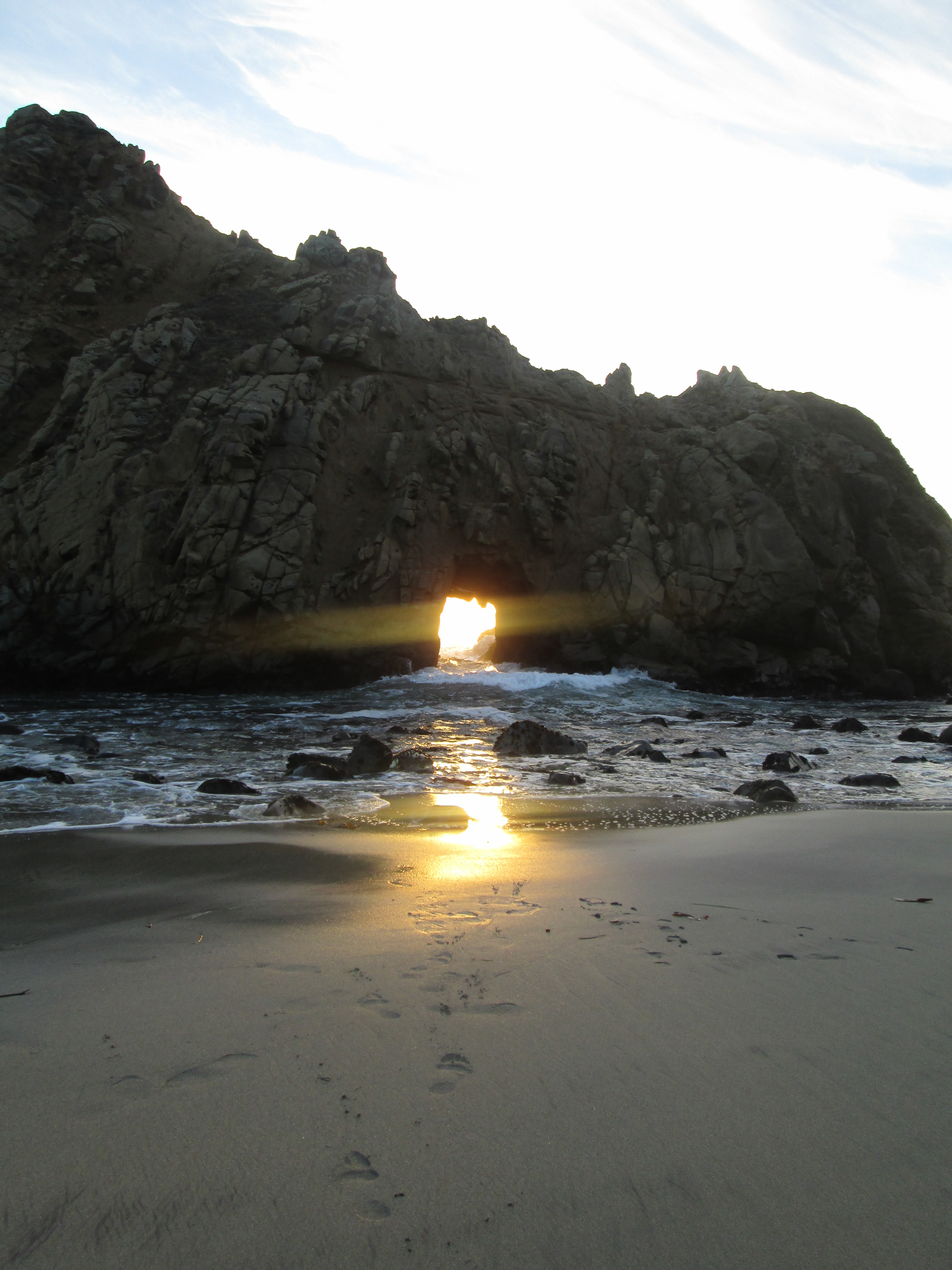
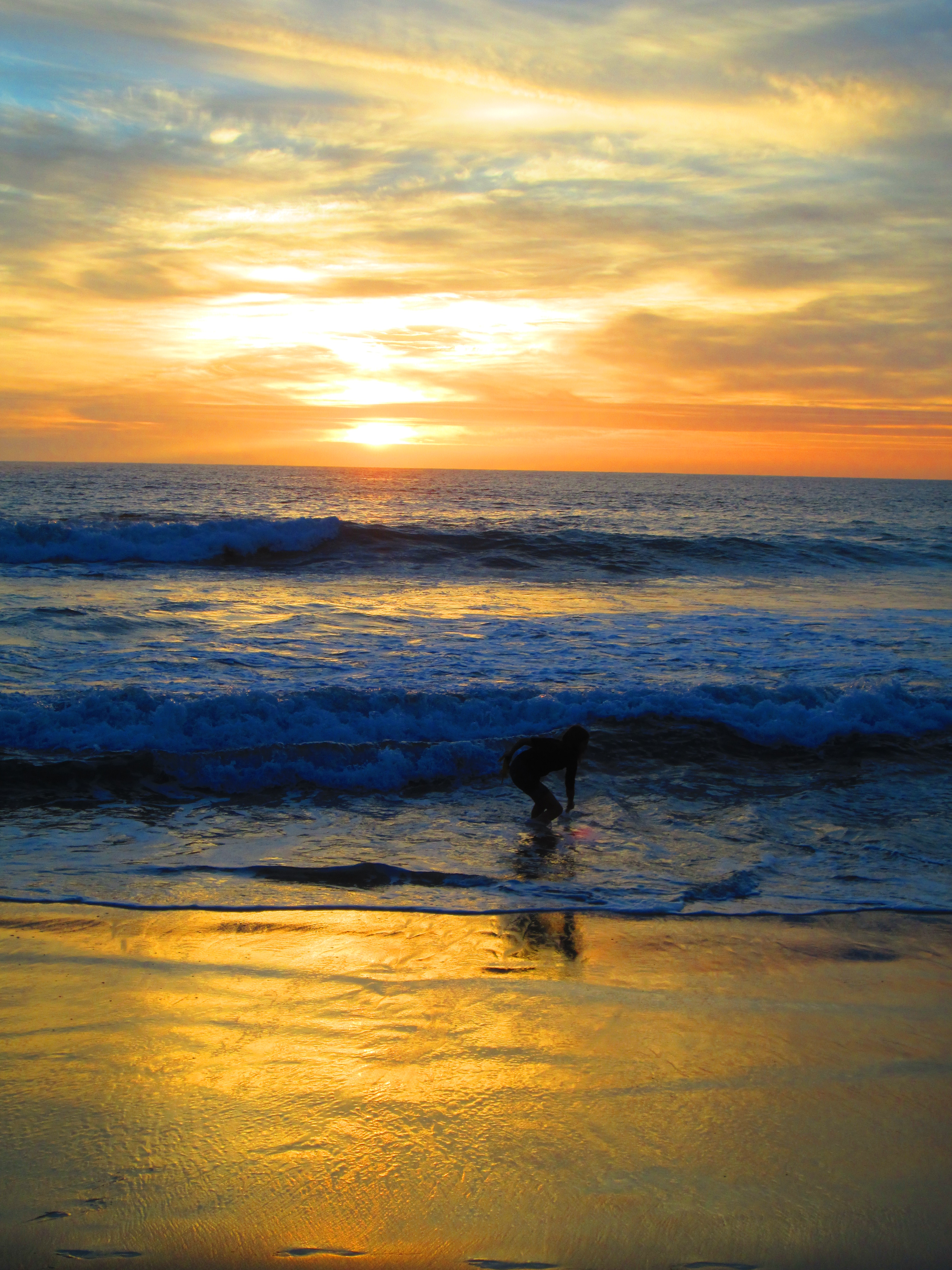
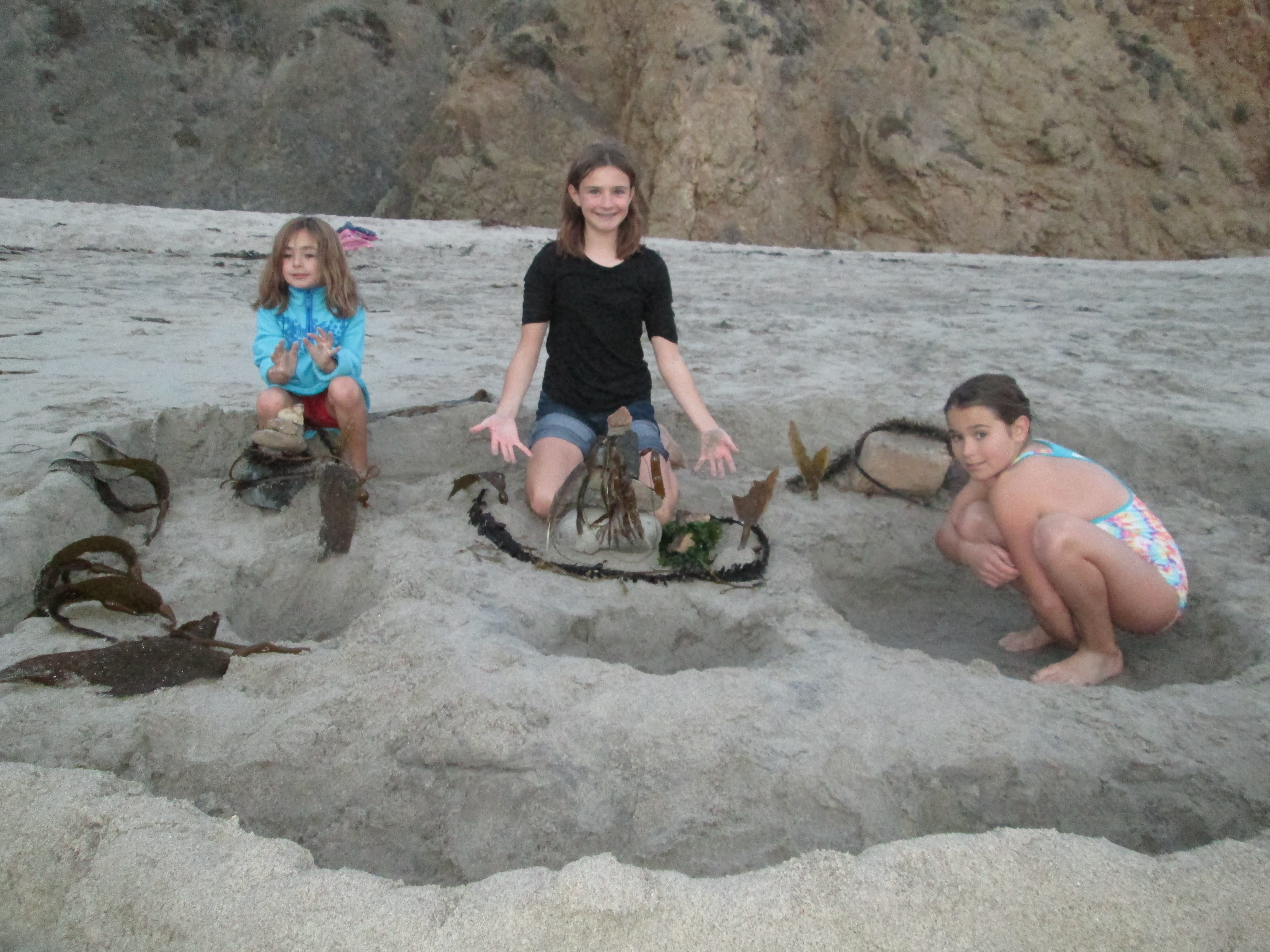
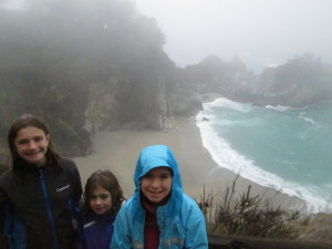
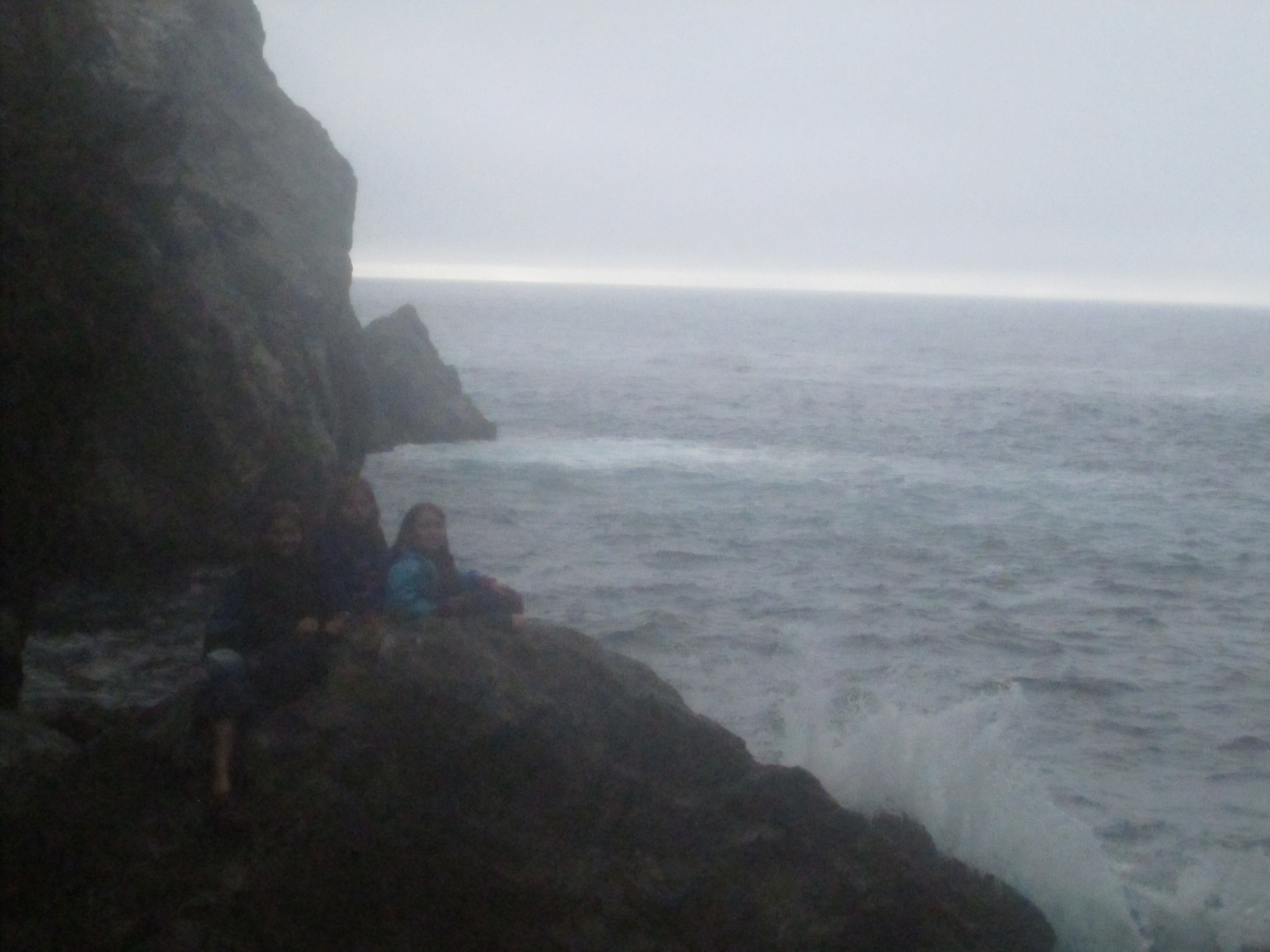
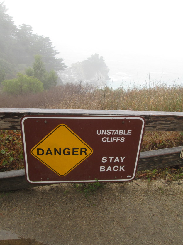
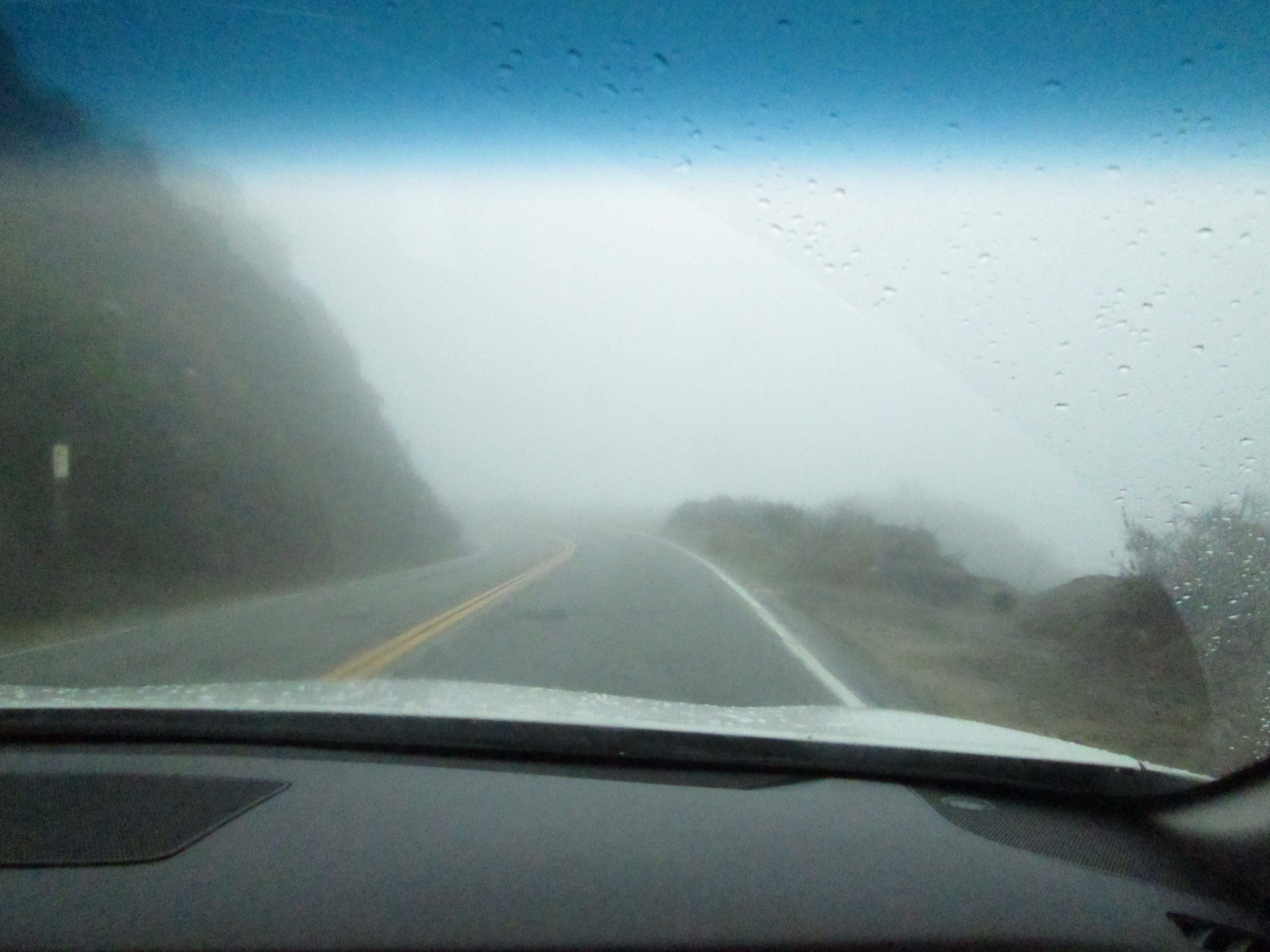
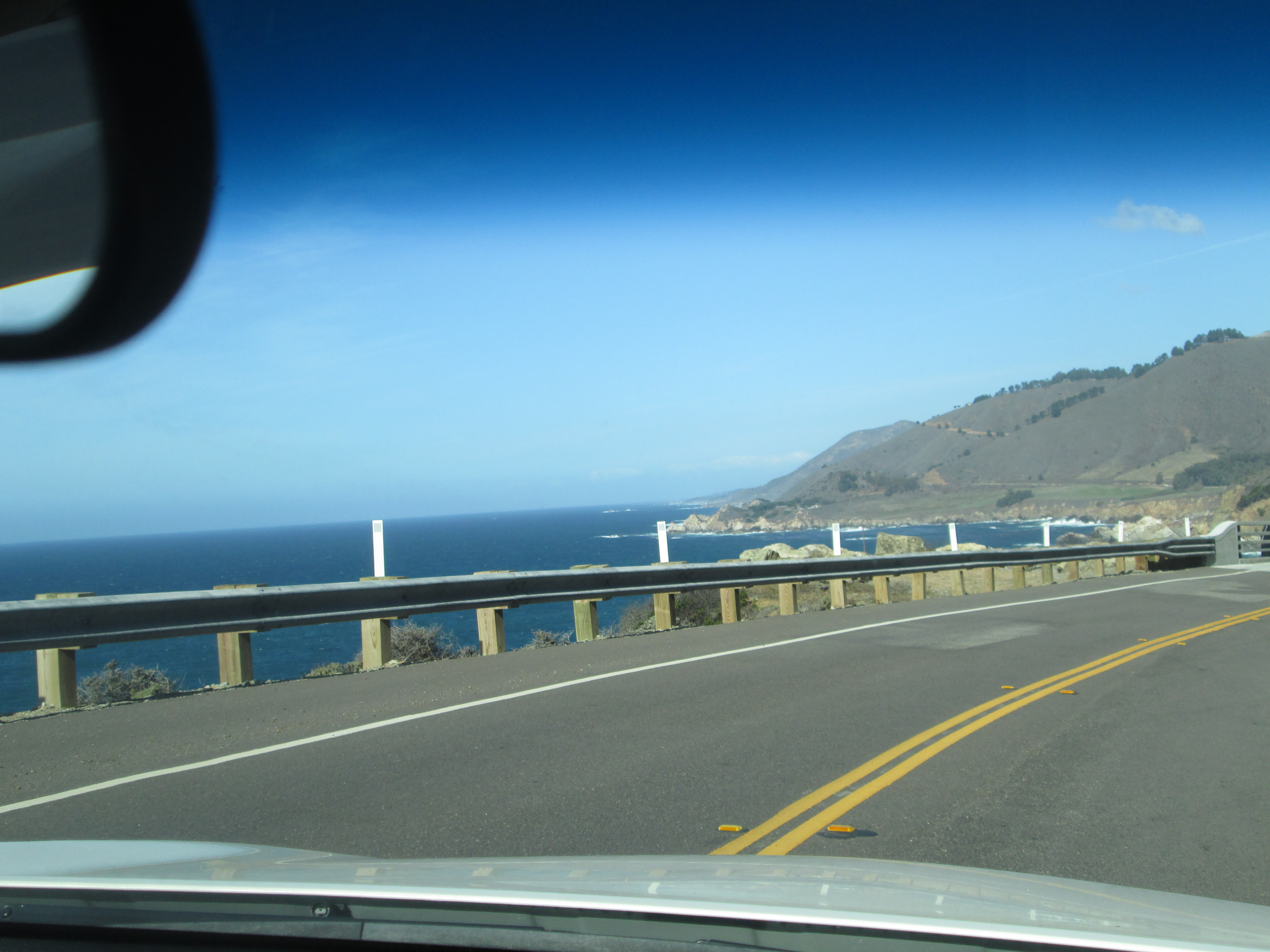
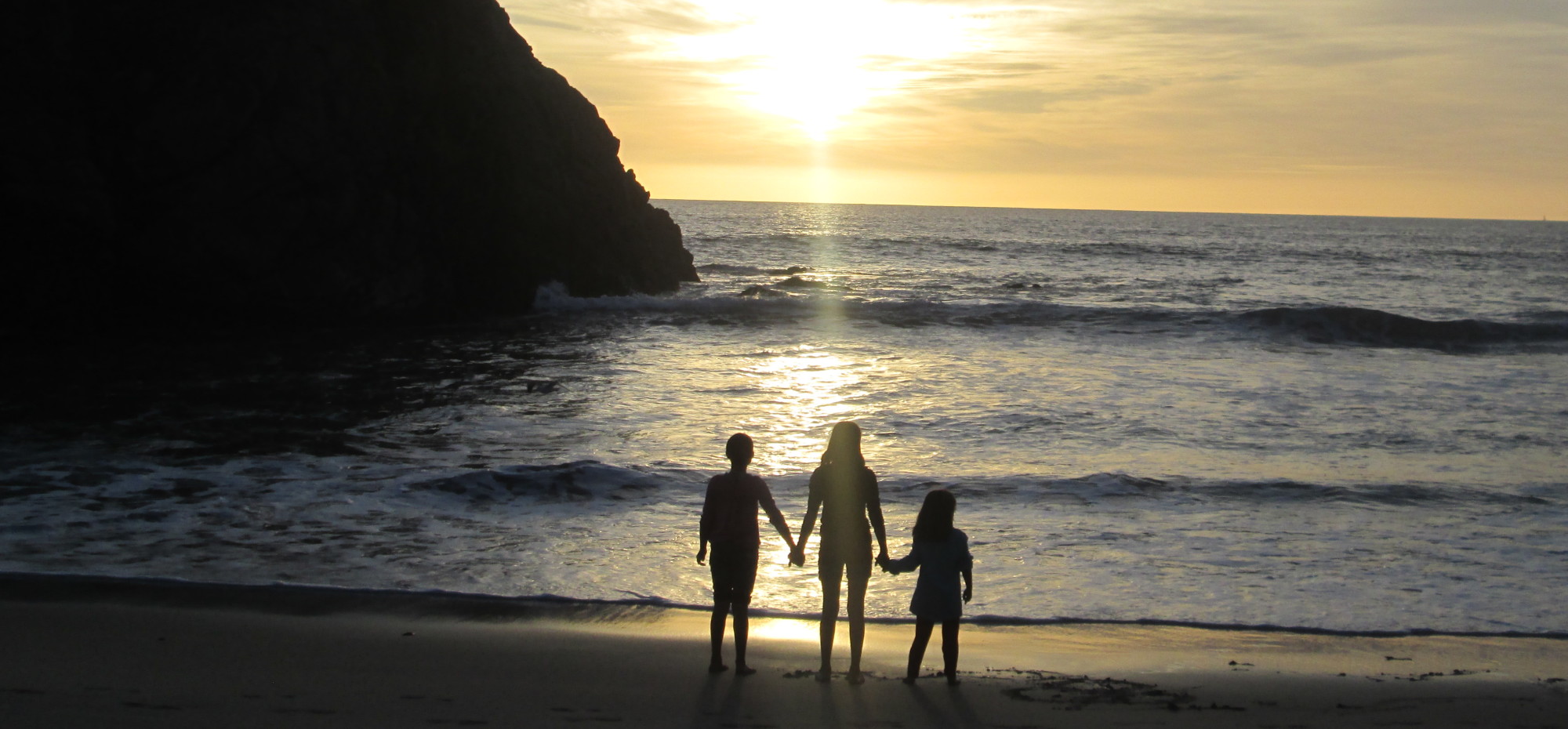
state parks — one after another, running down the Pacific Coast Highway.
It’s not the kind of beaches that you might picture, though.  You will not find bikini-clad sunbathers, or beach umbrellas, or the scent of sunscreen in the air.  Instead, there are towering rock formations, seal skeletons, wheeling bird of prey, crashing waves, a chilly wind, and long stretches land that are totally deserted apart from the occasional lunatic surfer.
We spent a fair amount of time on the beaches during our few days in Big Sur.  We’ve already written about the seal-covered beaches of Ano Nuevo, but there was another beach in the park that could be visited as well.  I think it must be overshadowed by the seals, because we were the only ones there, despite its beauty.  Shadowed on three sides by towering cliffs, all sign of the world outside the beach was hidden.  We also found the most interested and beautiful rocks that we’d ever seen.  Sadly for us, the park forbids removing anything, or we would have emerged with full pockets. As it was, we still spent substantial time hunting down rocks for the sheer pleasure of showing them to each other, and it was hard to drag the kids away.

IMG_5279

I found this one.

Zoe's fossil rock

Zoe’s fossil rock

How cool is that?

How cool is that?

(Zoe found an especially cool rock that was covered with fossil imprints.  We brought it to show a ranger with some vague vision that it would produce great excitement and lead to us being given a plaque in the visitor center, but the ranger was rather blasé about it, so I guess it was not that unusual.  But if we’d found this at home it would have been a certified treasure.)
IMG_5406On our first evening in Big Sur, we visited the famous Pfeiffer Beach for the sunset.  We discovered this was a very popular activity, as there were legions of photographers with fancy cameras lined up, apparently awaiting the moment when the setting sun would shine through a window in a large rock formation just offshore.
This was an absolutely beautiful place, the kind of place where you just sit down and fall into a trance staring at the amazing surroundings and listening to the crashing of the sea.  Unless, of course, you are one of our non-meditative-minded children.  They instead spent their time wading into the water (which was freezing, but no more so than New Hampshire in mid-summer) and building elaborate sand structures to be washed away by the tides.  We again had to drag them away, wet and sandy, as dusk began to fall.IMG_5425
IMG_5433

The finished product

The finished product

IMG_5492

Everyone looks so cheerful, don’t they?

The next day (in a steady drizzle), we visited the famous beach at Julia Pfeiffer Burns State Park (not to be confused with Pfeiffer Beach mentioned above — apparently these Pfeiffers were major bigwigs around here).  This one we only got to view from far above, but it was still spectacular — a waterfall emerging from the cliffs and falling into the bright Carribean-turquoise waters below.  The girls wanted to get their feet sandy, though, so we asked at the booth if there was anywhere nearby that provided access to the water.  They directed us to a very different beach (which a subsequent Google search identified as Partington Point).  We walked down a lonely trail that eventually led us into a tunnel through a cliff.  Emerging on the other side, with the crashing surf on one side of us and steep cliffs rising on all other sides, it was like we were alone in the universe.  This was not exactly what you would call a “beach”, as the ground was covered with various sized rocks rather than sand (perhaps a beach in progress?)  Past visitors had built cairns from the beautiful and diverse rock collection, and the girls enthusiastically seized onto this activity.  By the time we left, I think there were at least twice as many cairns as when we’d arrived.

IMG_5532 IMG_5542
IMG_5572On our way out of Big Sur, we made one more beach stop, at Andrew Molera State Park.  We walked about a mile down a beautiful path that wound through various types of vegetation, and emerged at yet another lovely deserted beach.  At this point we began to feel as though this trip was arranged especially for us by some Matrix-like overlord, because there was yet another diverting challenge for the girls: driftwood!  The beach was covered with driftwood in all shapes and sizes, and some one had even constructed a shelter out of it.  Zoe immediately began directing a new construction project.  So with any luck, few reminders of us remain in California to this day.

No rest for the wicked

No rest for the wicked

Along the shore, in the inside lane

I have spent a non-negligible amount of time in this forum — and possibly a few others –bellyaching about having to drive a rental car through Italy and a heavily laden van through much of the rest of the civilized world.  Someone listened.  It was Jen.

For this trip, she informed me, she would be the one signing for the car.  She’d be the one taking the wheel when we left San Francisco and headed for the Coastal Redwood wilds of central coastal California.  And so it was; and I ate my crow pie.  Because when one whines enough about driving rental cars, one puts one’s self in the position of being in the passenger seat in the southbound lane of the Pacific Coast Highway only a hair’s breadth from being thrown into free-fall, and then into the Pacific.

This is what happens when one fails to keep one’s mouth shut.

I was, therefore, prepared to take my medicine and suffer through the vertiginous twists of the PCH.  It was me, after all, who did the driving during our last trip to these parts.  The fact that we were going northward last time and were thus in the inside lane, a full car’s length – plus the shoulder – from the precipice, does not need to be mentioned here because I am too noble to do so.

Anyway, since spouses are able to share driving duties under Hertz policy, and since Jen didn’t seem to care either way, I wound up driving the last leg south from Tacos Moreno in Santa Cruz, through Monterey and into white knuckle territory.  I could do this with a good conscience because it was full dark by the time we reached Carmel.  Nobody could see the dizzying heights we encountered not far south from there.  It was just a twisty road, like many we have at home in New Hampshire.  The major diifficulty was that I still knew what was out there and I wanted to go slow, and most people in California have a lower regard for their own lives and/or a higher regard for their own driving abilities.  So whenever I saw lights in my rearview, I sought shelter in one of the many pull-off spots provided for just such a purpose.  We eventually made it where we needed to go.

And when we got there, aside from the pleasant experience of seeing huge mountains spring up around us that we had been totally unaware of the night before, I also felt it was my duty to return to the passenger seat for our sorties off the Big Sur Lodge grounds.  I had blogged myself into this, I could suffer though the shotgun seat from hell for a few days.

Outside lane + puffy fog = comfort

Outside lane + puffy fog = comfort

How was I to remember that the much of the road between Julia Pfeiffer State Park and the Big Sur lighthouse is inland and relatively close to sea level?  Was it my fault that on the day we travelled farther south it was extremely foggy, and thus the cliff faces seemed to blend into cottony clouds that I could imagine cushioning our fall should we jump the guardrails?  It was hardly medicine at all.  I mean, there were even guardrails this time.  I don’t think there were any last time.  It was terrifying in 1999.  We all must’ve thought the Y2K thing was going to do us in anyway back then and not worried about our mortality.  Jen is remarkably unscathed by the experience.

IMG_5582

Someone’s probably holding the wheel.

It was not until our last day in Big Sur – our last day in California – that we got to experience the PCH in all its breathtaking glory.  Travelling north, with me at the wheel, we had wonderfully clear vistas of the coastline to our left  —  often to our left and very far down —  and the brown and olive mountains to our right.  Once more in the safety of the inside lane, we could enjoy the ride in a manner that would in no way suggest that there is anything I’d rather do than drive my family around in a rental car or any other form of vehicle.

Operator and navigator, and vice-versa.

Operator and navigator, and vice-versa.

Until we reached Monterrey and I had to find a place to park the damn thing and why are the signs so vague, and they should give you a gps with rental cars, and what’s with there not being any key anyway, and that guy in the white Hyundai with New Mexico plates, I finally figured out what I should have shouted at you as passed me back in no man’s land: you’re a horrible driver who tailgates and then waves his arms when someone goes onto a  pull-off to let you pass and that makes you a real jerk in my book, pal. Go back to New Mexico and wave your arms around there.

In Central America, we take the bus.