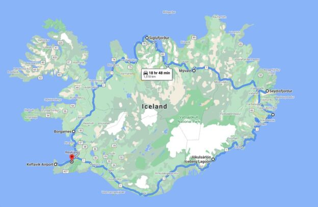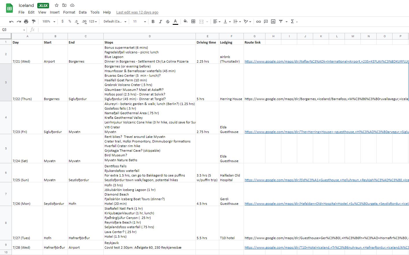
It is famously difficult to adequately describe the experience of viewing a solar eclipse, but we can pretty accurately describe how we managed to view this Great North American Eclipse of 2024. Maybe this will help someone get ready to view the next one when it comes along.
An important first step: Get a good breakfast in. Roaming around all day requires fuel, and in the excitement it’s not a sure thing that you will remember to eat, or even that you will always have access to food.
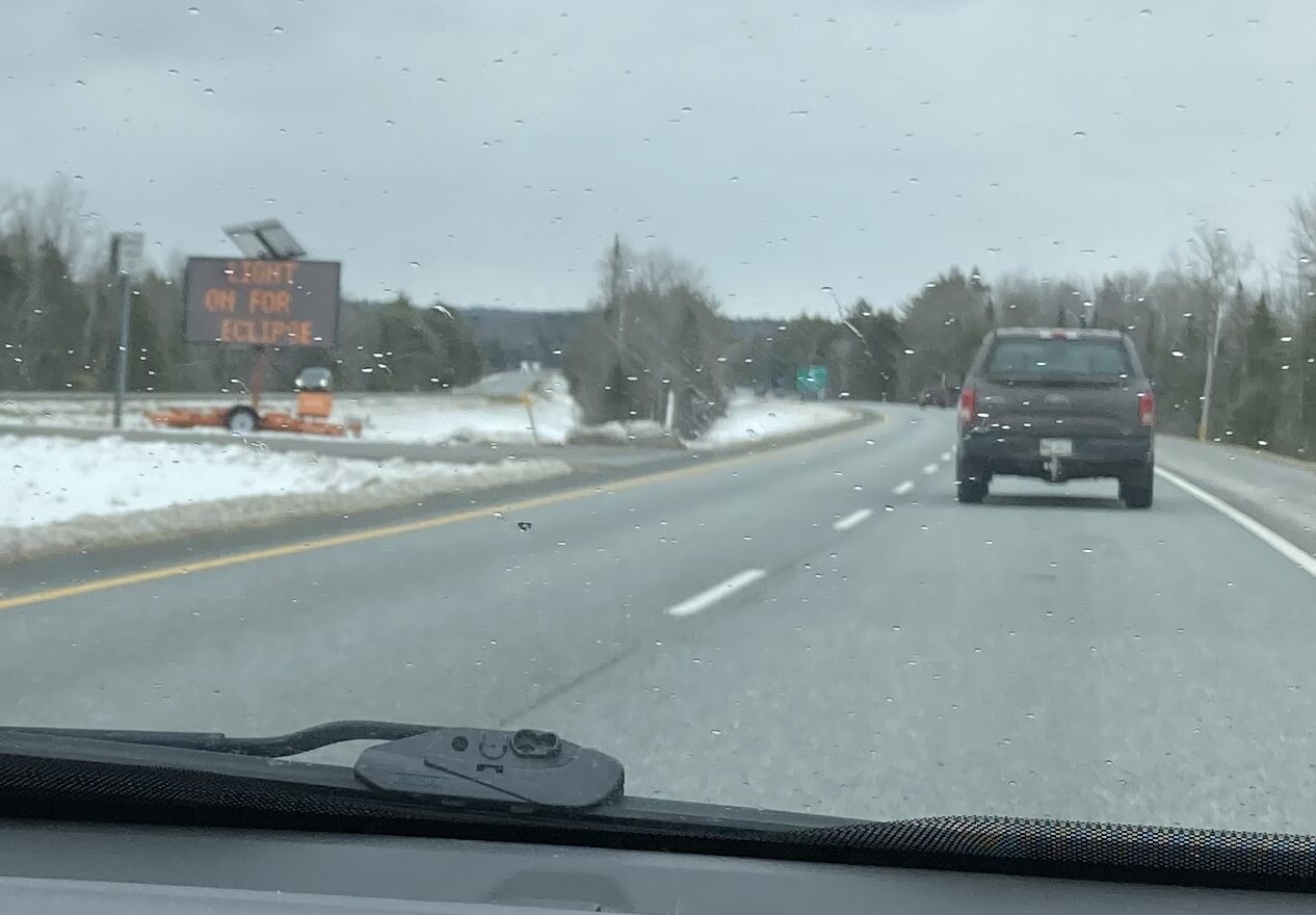
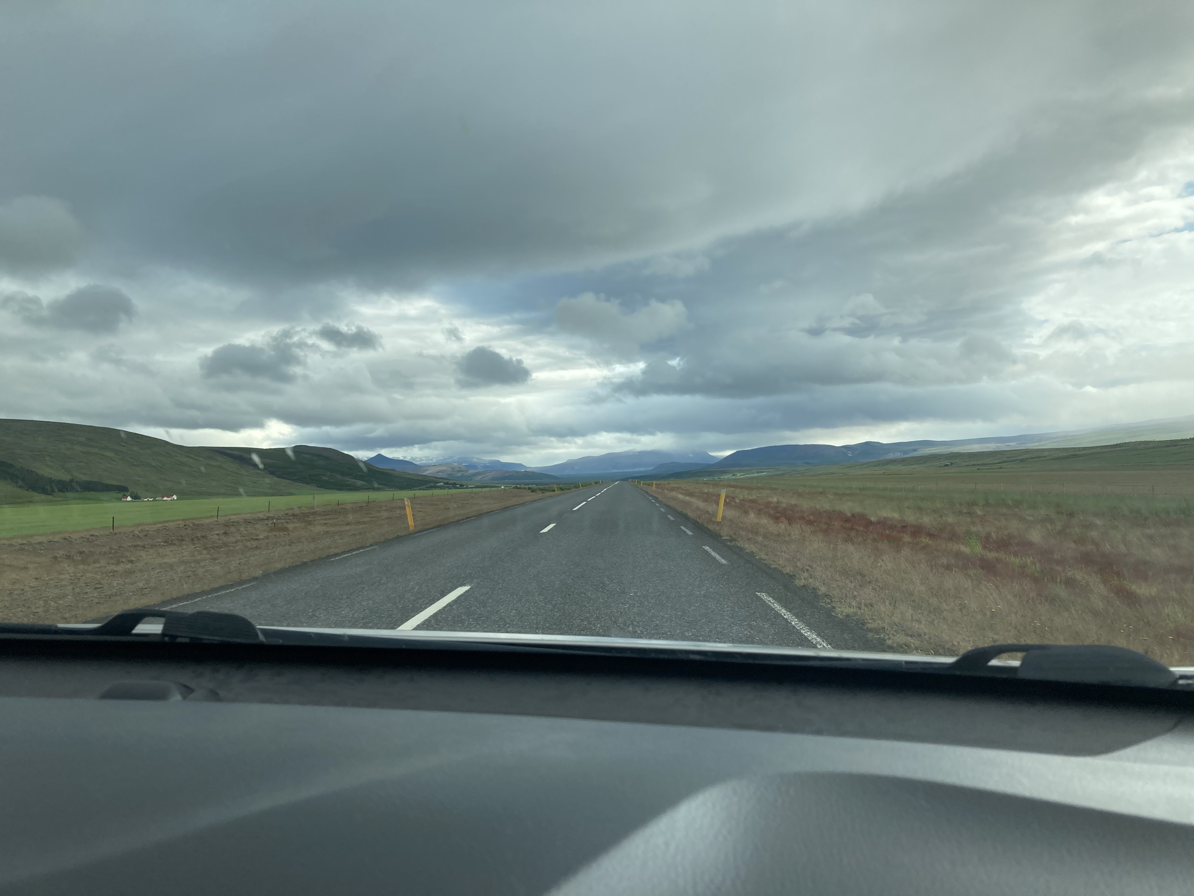
Breezing past Millinocket
The Bangor Inn and Suites offers a good spread, and it opens at 6 am. This worked well for us. We had decided to visit Houlton – it was a little farther away, but it offered the chance to experience the eclipse in the presence of experts from NASA and lots of other people who were excited about it all. It was 140 miles to Houlton. We needed to be set up somewhere with Wifi by 9 am. Finishing breakfast by 7 was pretty important.
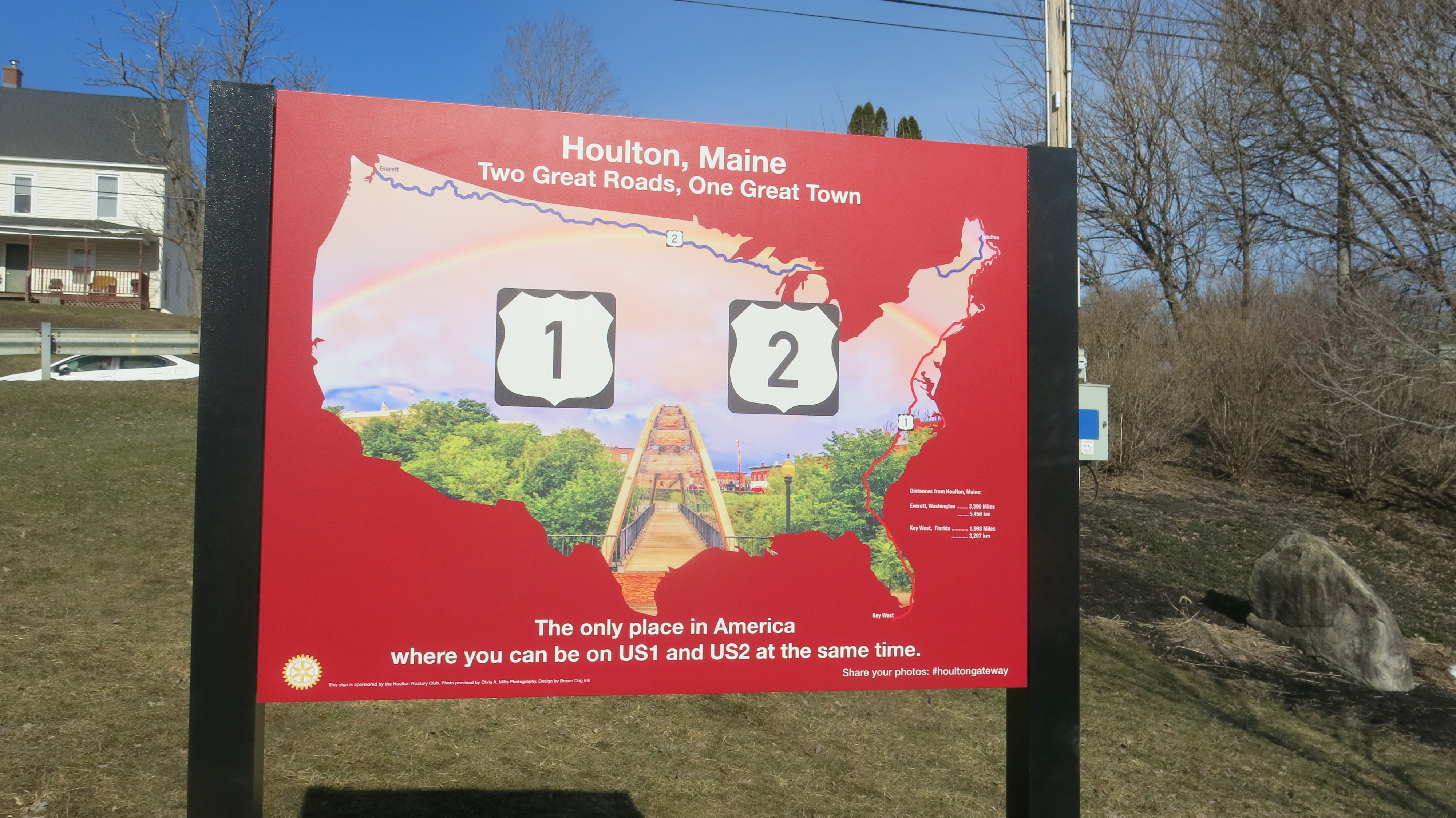
Houlton’s claim to fame prior to the eclipse? It’s the only place you can be on Route 1 and Route 2 at the same time.
Clear roads to Houlton were also important. We breezed past Millinocket, Island Falls, and, really, only a handful of other towns. We had great views of snow-topped Katahdin. And in almost no time, we were pulling off 95 and heading toward the heart of Houlton. We stopped in a bank parking lot that seemed well-located. It cost $20, and we later learned that the funds would go to the local Humane Society. The lot was mostly empty at 8:30.

The Riverside Star Park was pretty empty at first.
Getting a good parking space turned out to be important. Our spot was right across the street from the Riverside Star Park, one of four such parks the town had set up for visitors. We were able to visit the van several times during the day. Upon arrival, we carried our bags and chairs across the street, and staked out some space, including a picnic table. A man was there to let us know which direction to point our chairs to see the eclipse.
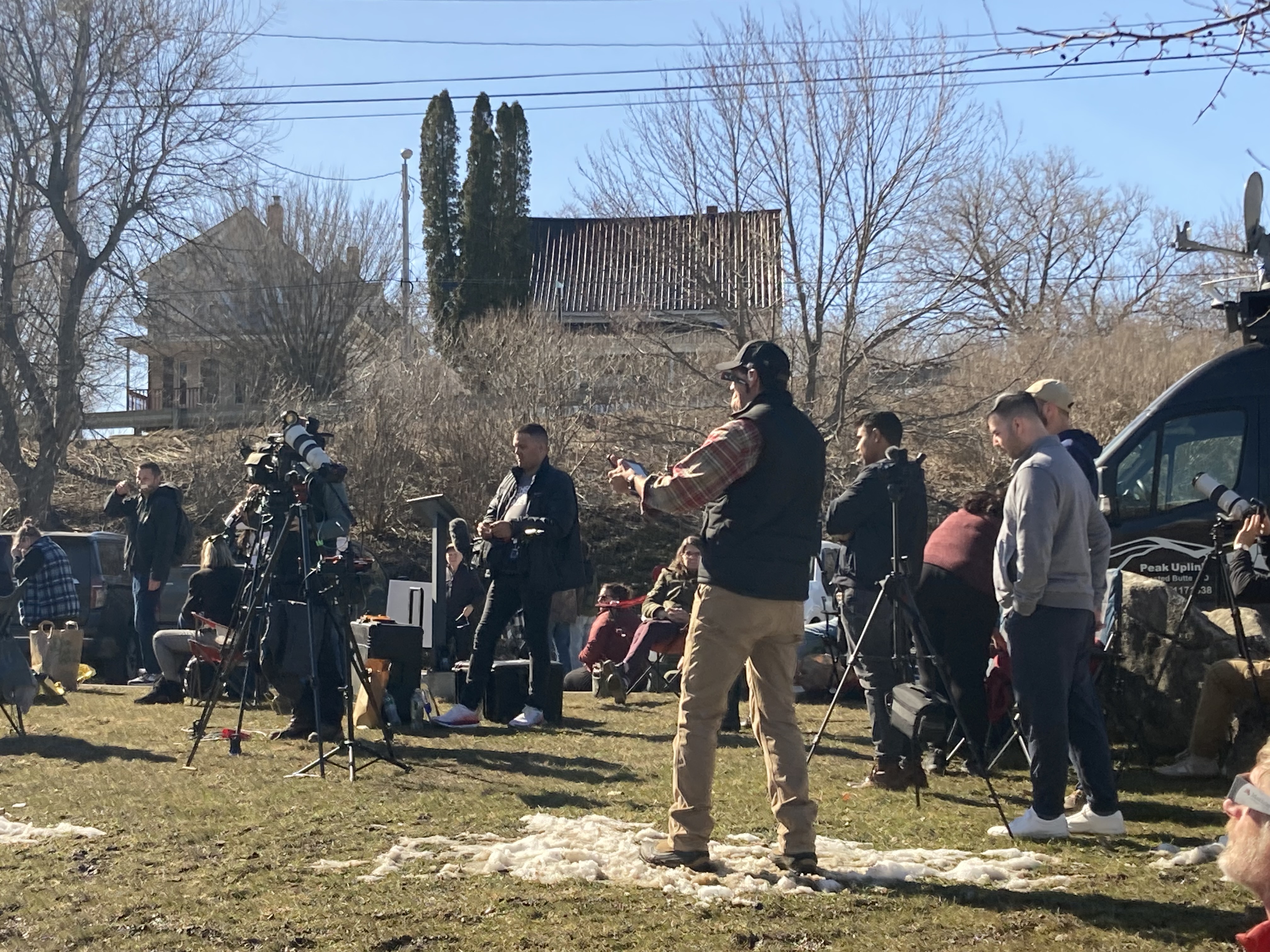
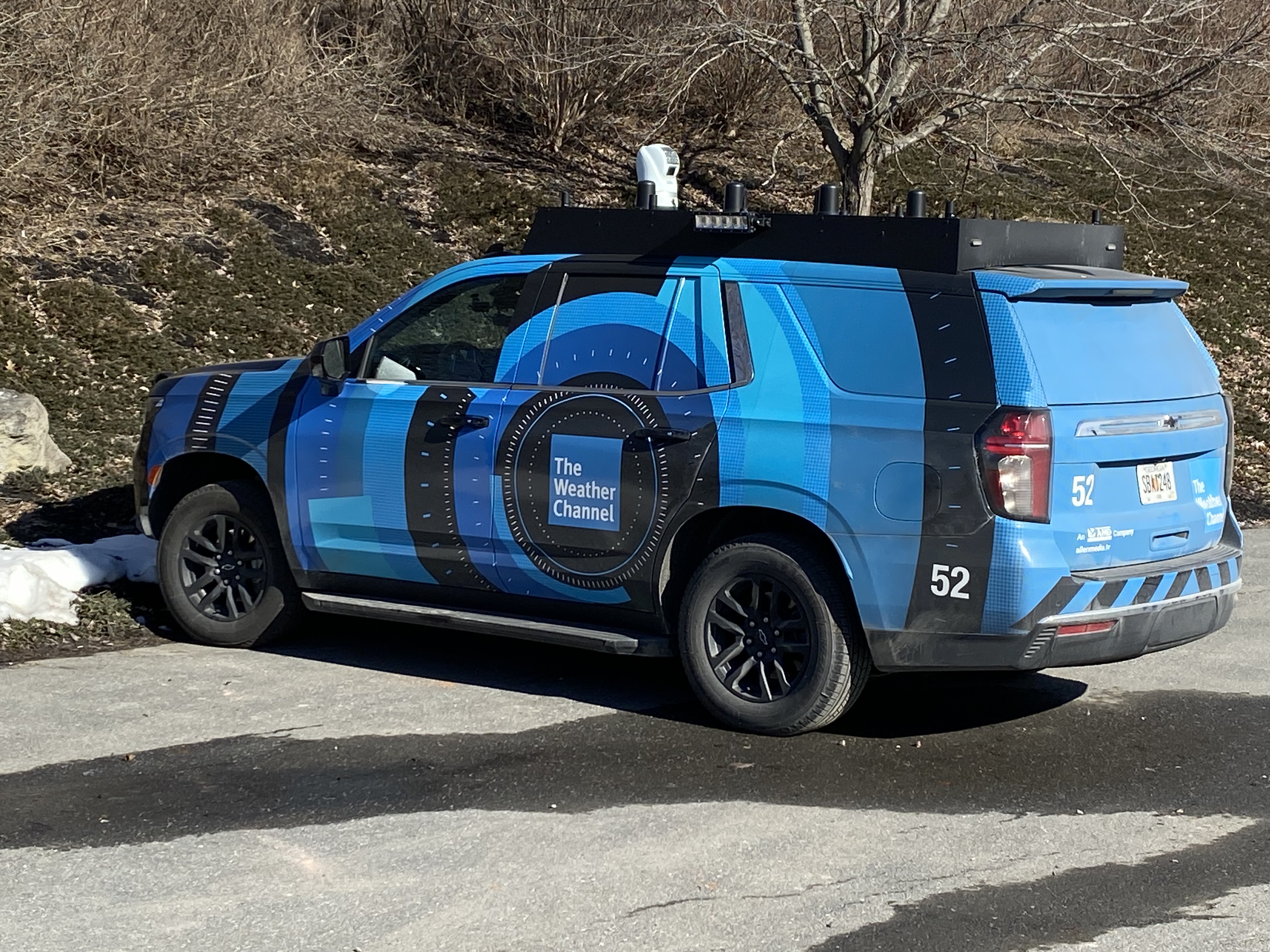 There was a van in the park’s parking lot with a satellite disk providing Wifi. Another van there was from The Weather Channel. There was even a bank of porta potties in the back corner of the park. By 8:45, we were ready to view the eclipse. We only had five hours or so until first contact – when the moon starts to cover the sun. It was time to check out the Maine Eclipse Festival.
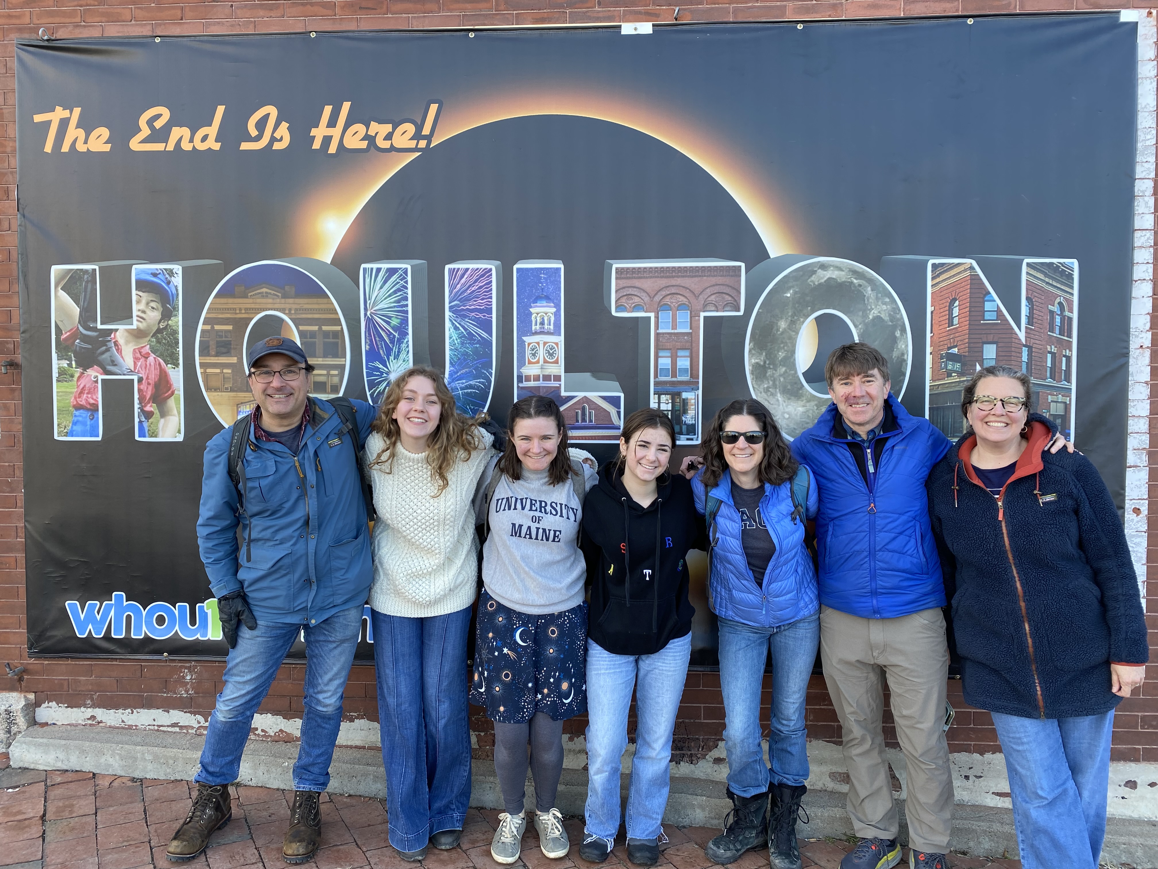 Across a pedestrian bridge and up a small sidewalk, we found Houlton’s wide Market Square. There was a huge set of eclipse glasses, and a bust of George Washington wearing eclipse glasses. There were open storefronts, food trucks, and tables with displays. Large speakers on a stage pumped out eclipse-theme music. We found posters with the Festival’s catch line: The End Is Here.
There were not a lot of people in the Market Square. But it was still early.
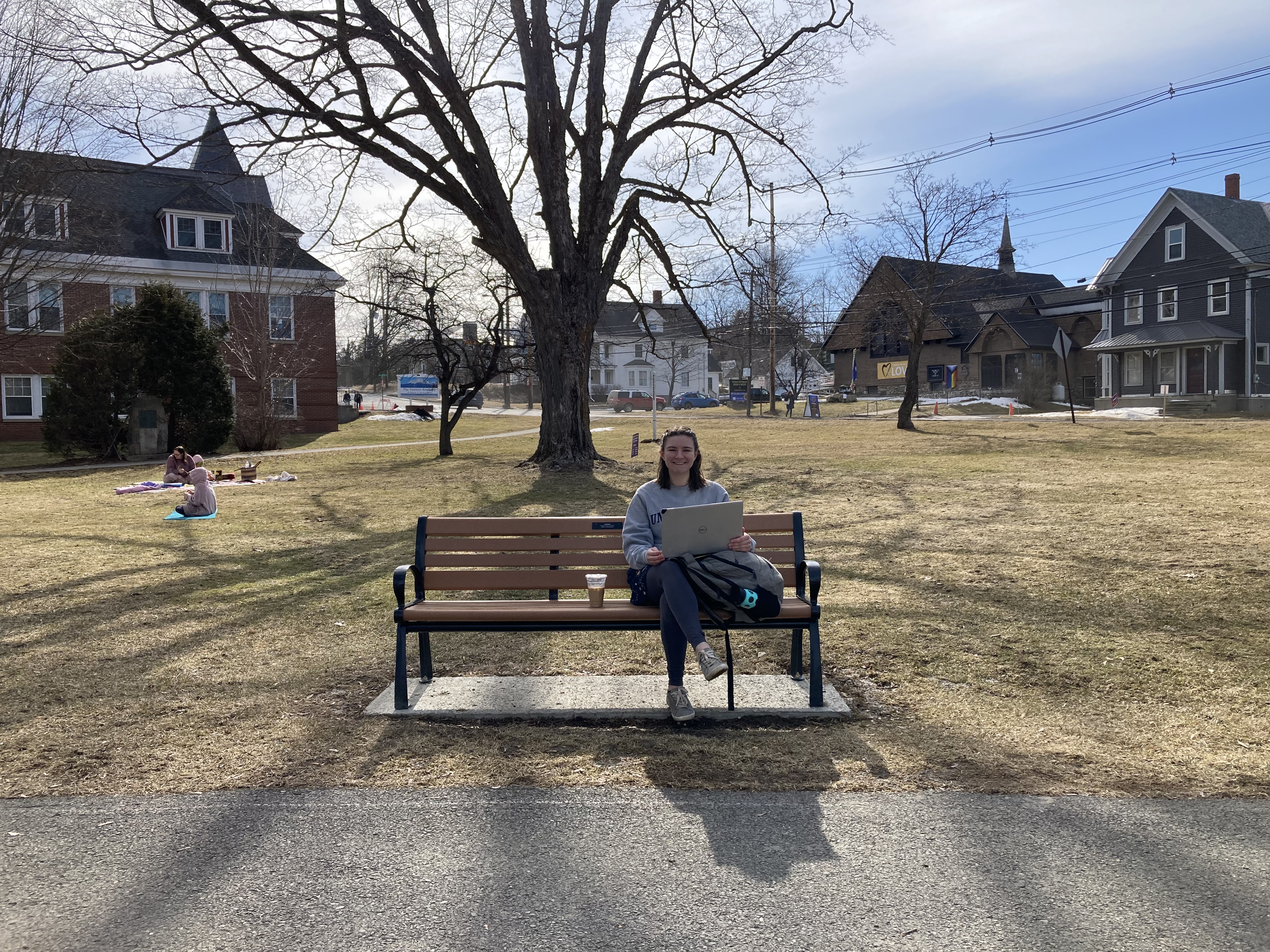
Zoe takes and Extreme Weather exam.
Zoe was set up for her exam on a park bench near the library – in another one of the Star Parks the town had set up. The rest of us poked in the shops and booths, picking up eclipse donuts and commemorative posters. We mailed special post-marked cards to ourselves. We watched the square slowly begin to fill up with people. In not too long, the exam was done – Zoe got a 92!
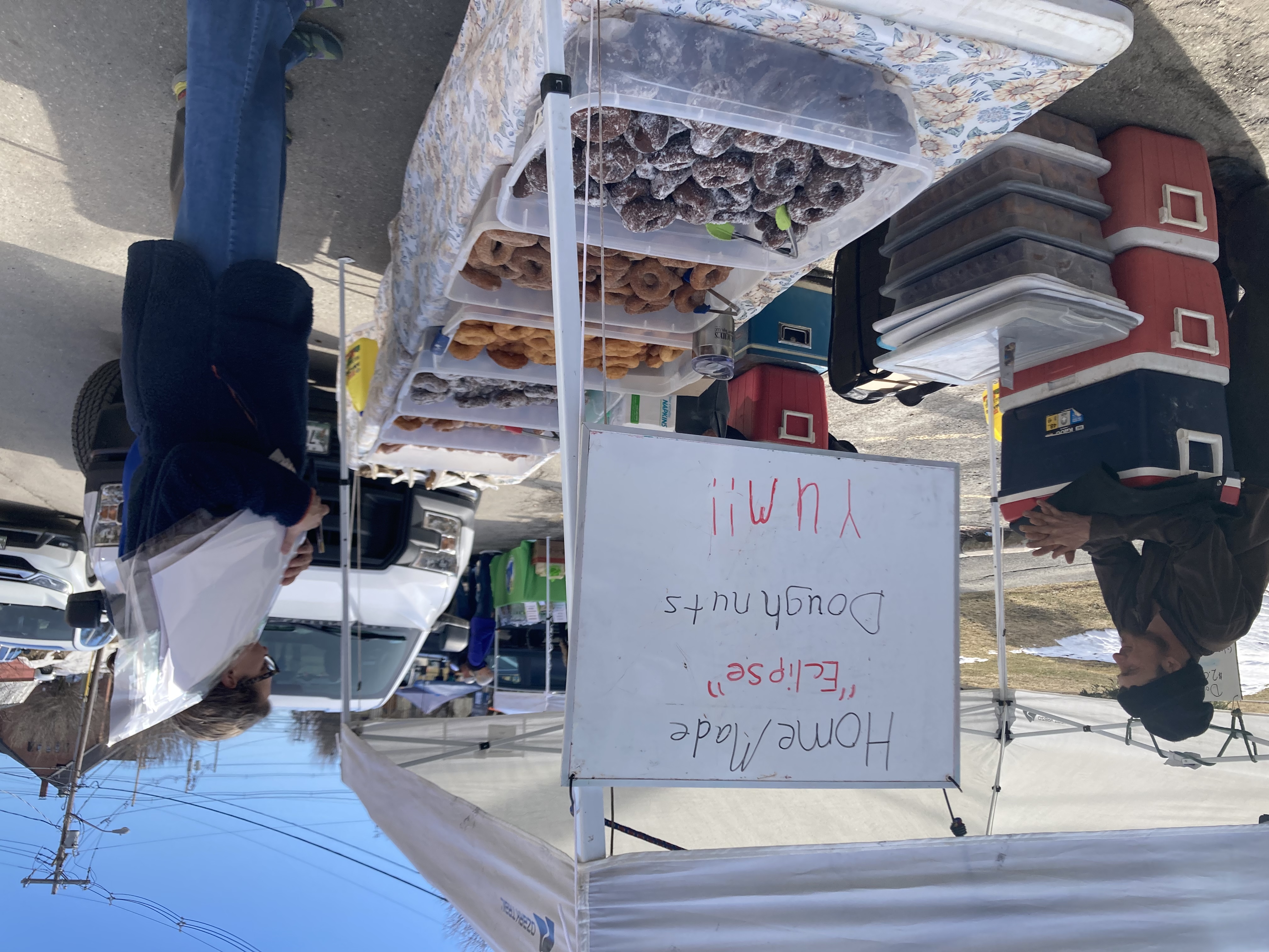
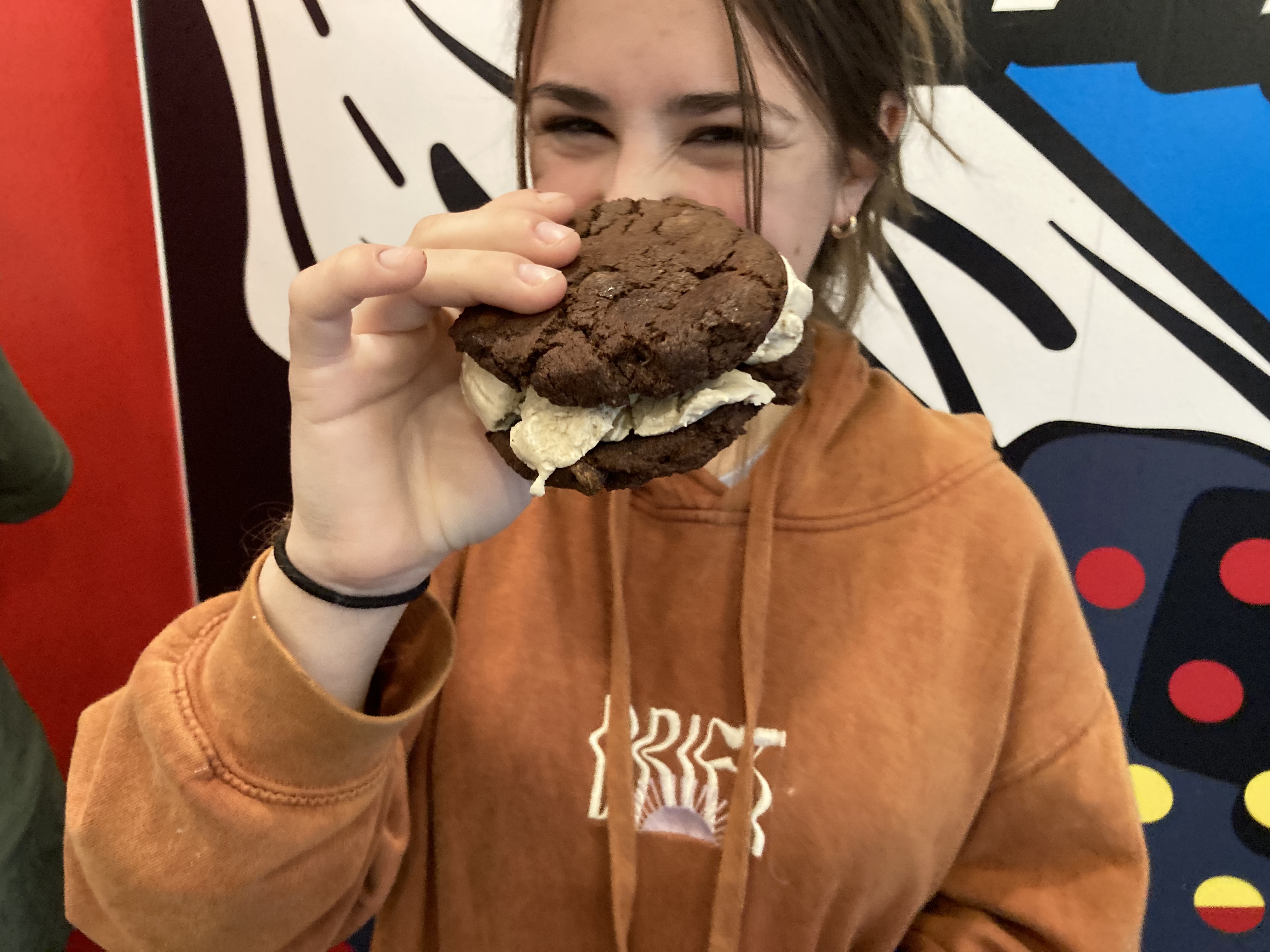
Yeah, we got some of those eclipse doughnuts.
Houlton had grand plans for the Festival, and the town worked really hard to make it happen. Booths and displays around the square included bake sales and tie-die crafts. There were Native American drumming displays, and a some noodling on an eclipse-themed electric guitar by a local rock legend.
Lanie could not turn down the offer to hold a snake, even though she and Jen had to wait in line about an hour for her chance. Meanwhile, the crowd in the square got larger and larger.
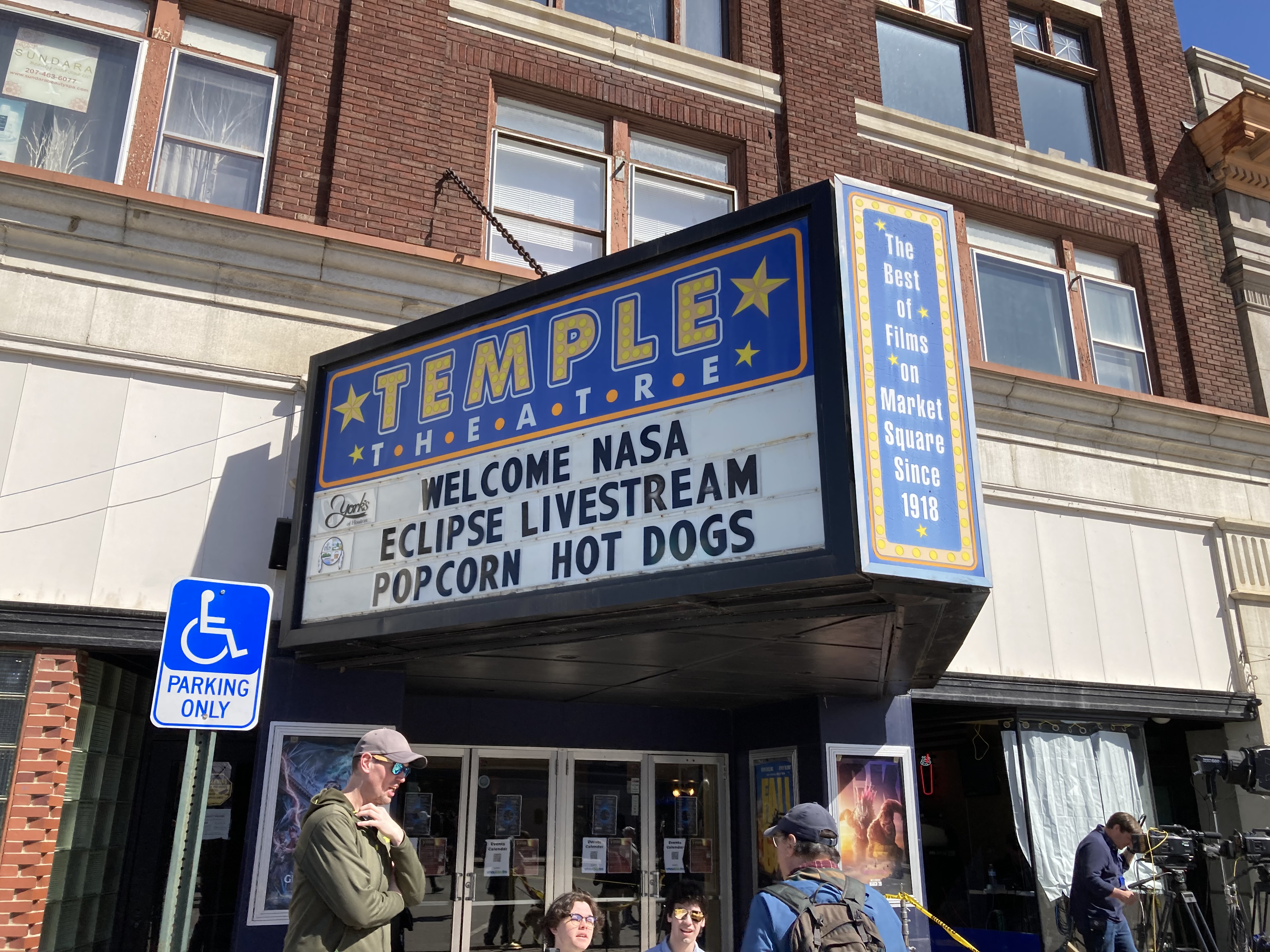 At a booth in front of the movie theater – the movie theater where they would have simulcast the eclipse from a weather ballon if there had been clouds – we talked with NASA folks who asked us to download an app that would help them figure out the shape of the Sun. Trisha and I decided to become citizen scientists.
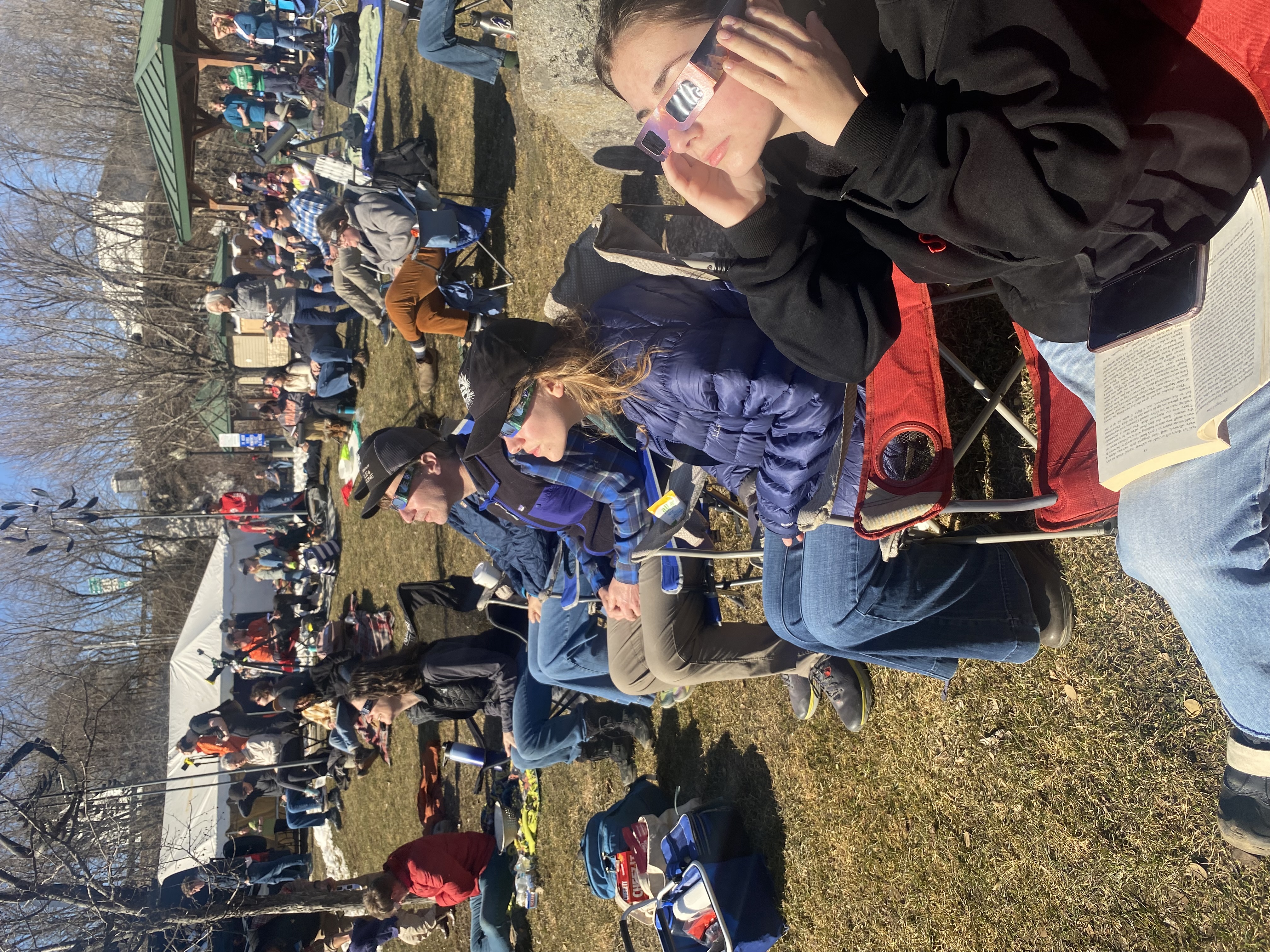
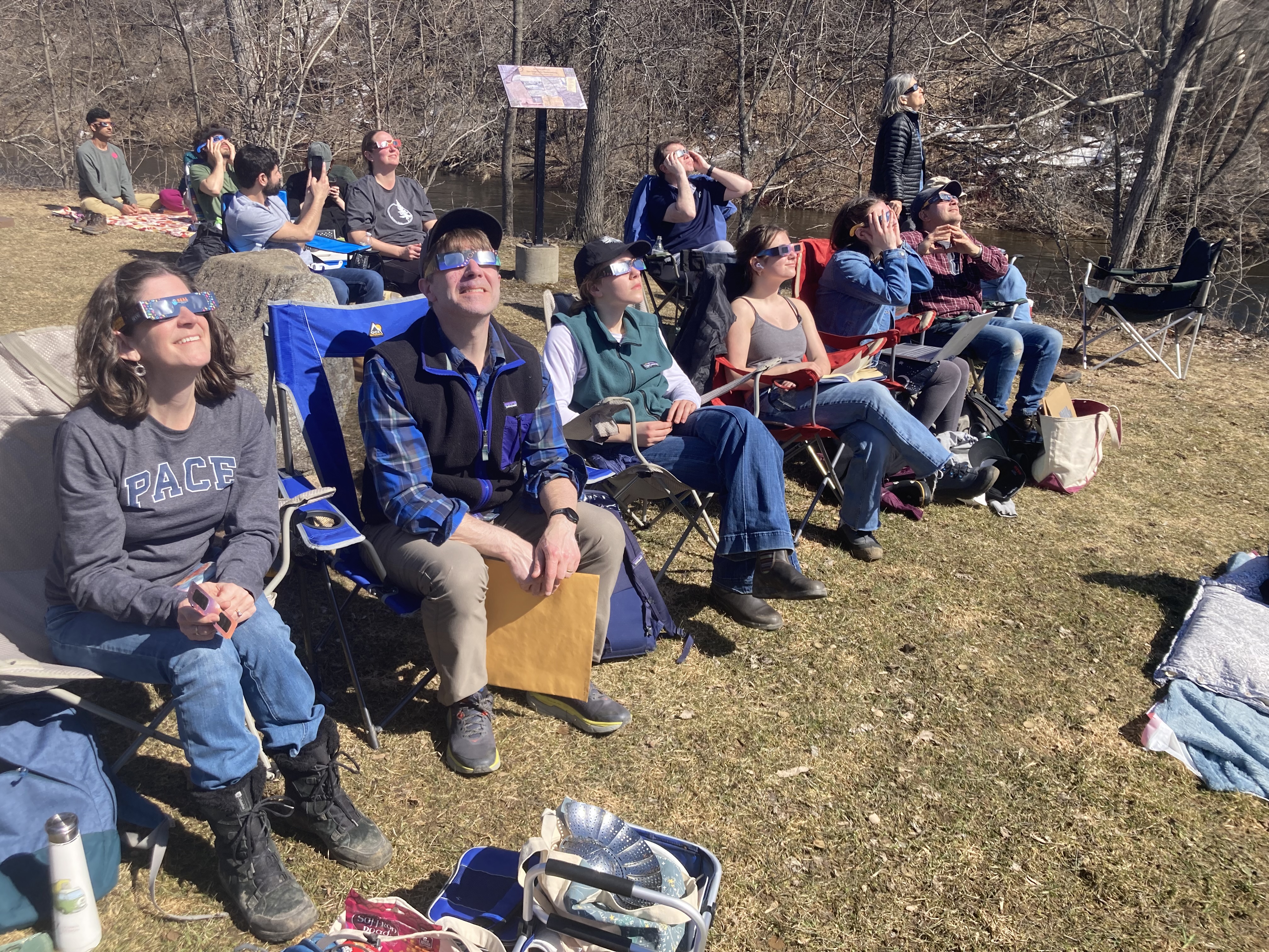
We got closer to first contact. The crowds in Market Square were not oppressive, but the mass of people was noticeable. Some of us got lunch at a food truck. We spent time in the riverside park, which had filled up with eclipse watchers. We played Ransom Notes on the picnic table. There were snacks and people in the park to talk to. We could see the Weather Channel crew working a few dozen feet from our chairs.
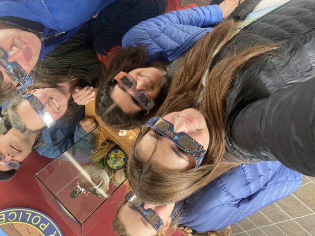
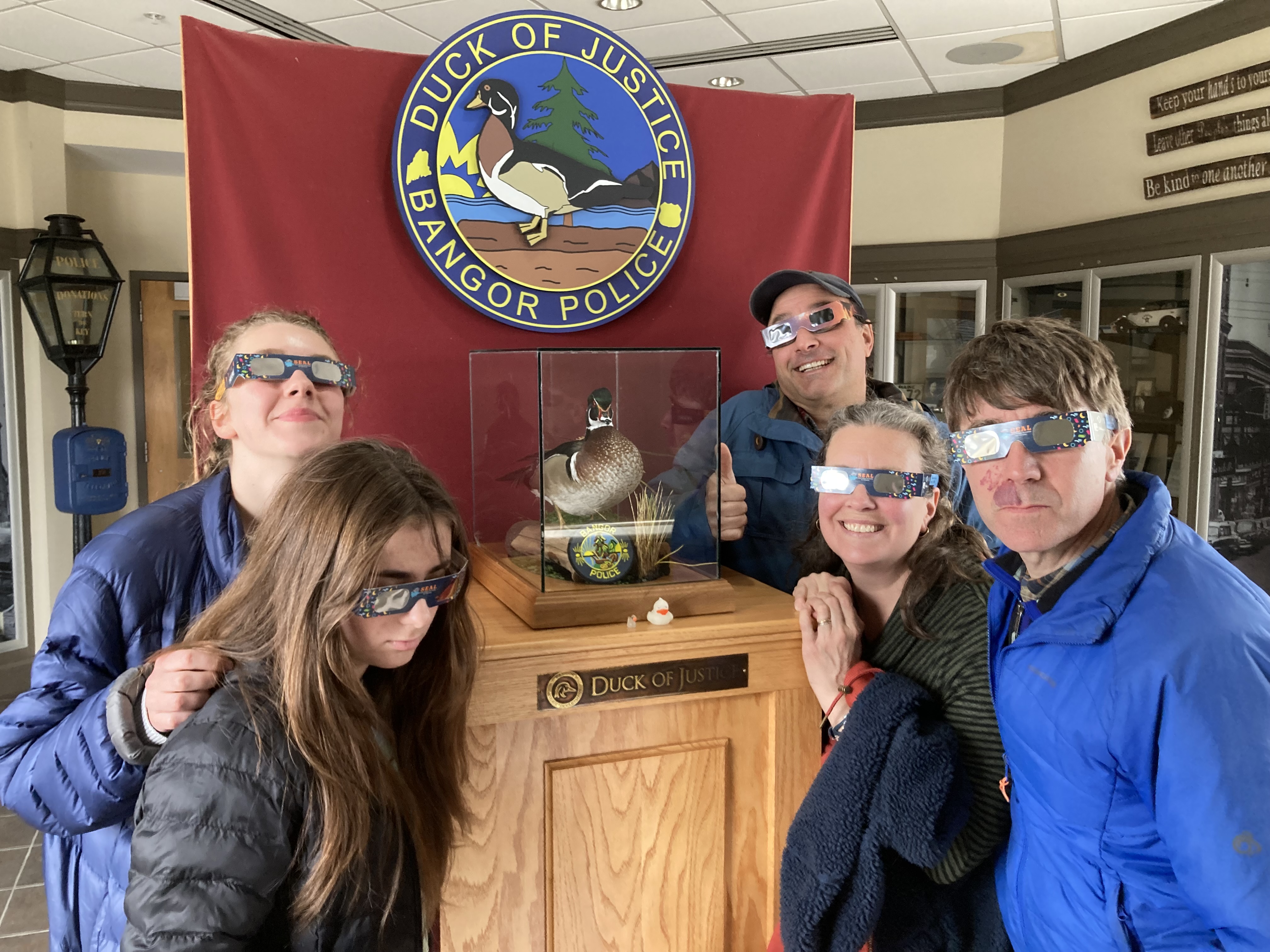
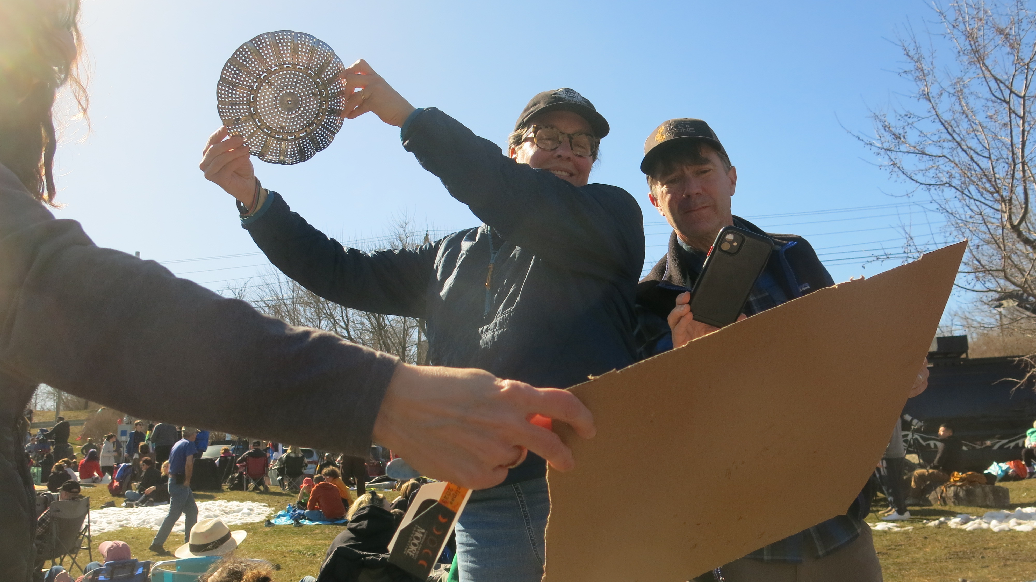
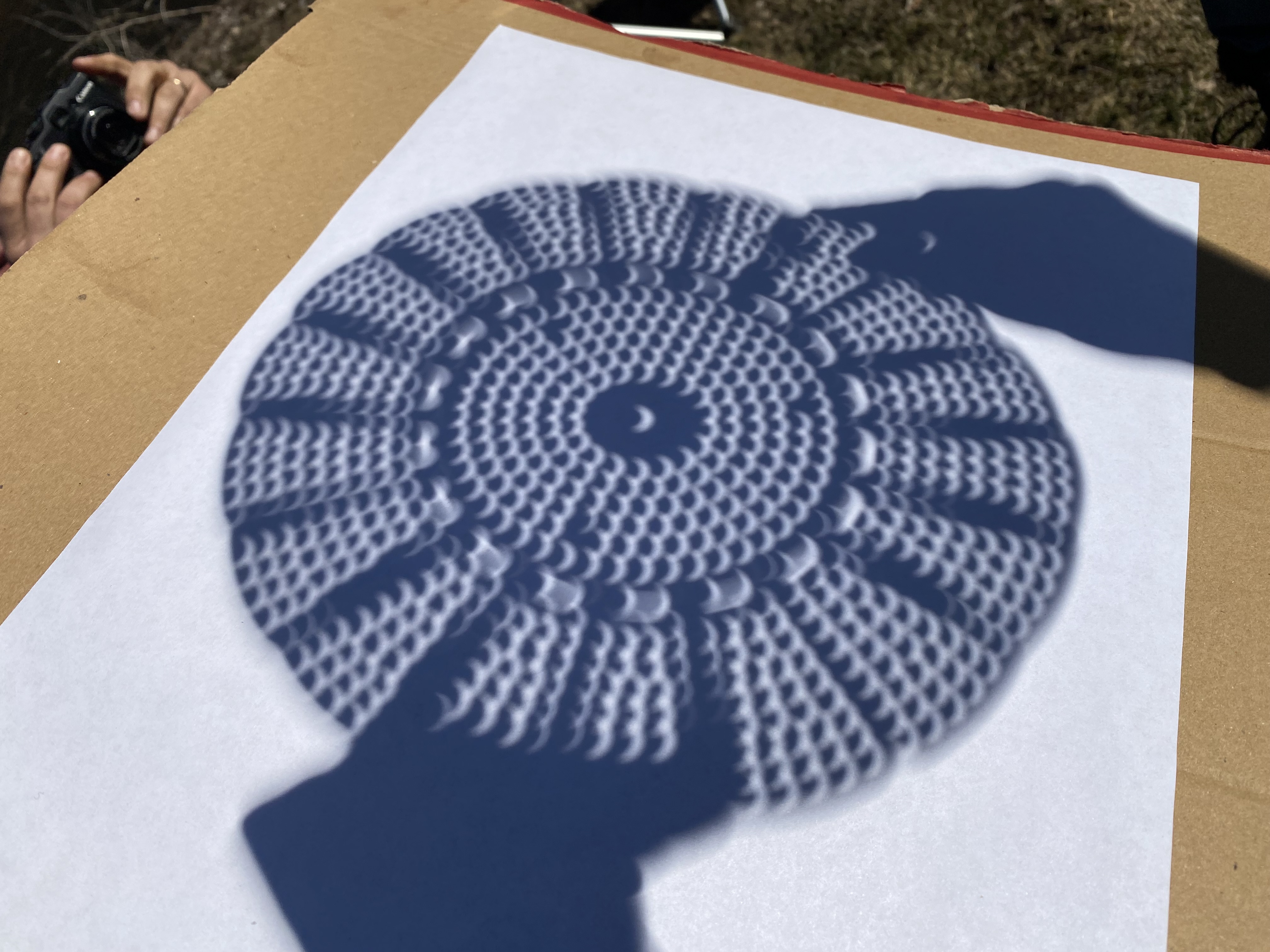
 As first contact approached, we tested our eclipse glasses and got our colanders. The Sun shone on us. It was around 60 degrees.
It’s important to know what kind of environment you want to watch the eclipse in. At least, it was important for us, because we were fortunate enough to have a choice. We sought out communion with fellow enthusiasts. Early in our eclipse day, we heard reports of our friends the Ervins closing in on Houlton, a few hours behind us. I kept a lookout for them all day long. There were a lot of people in Houlton and the down had dedicated an impressive amount of space to the Festival; but it wasn’t so big and crowded that I thought it likely that the Ervins would escape me.
We later found out that they never made it to Houlton. They stopped for gas in, Smyrna, the town right before us. Talking to a few locals they were told something like: “I wouldn’t go to Houlton. It will be crazy there with so many people.”
I mingle with Taylor and her street team.
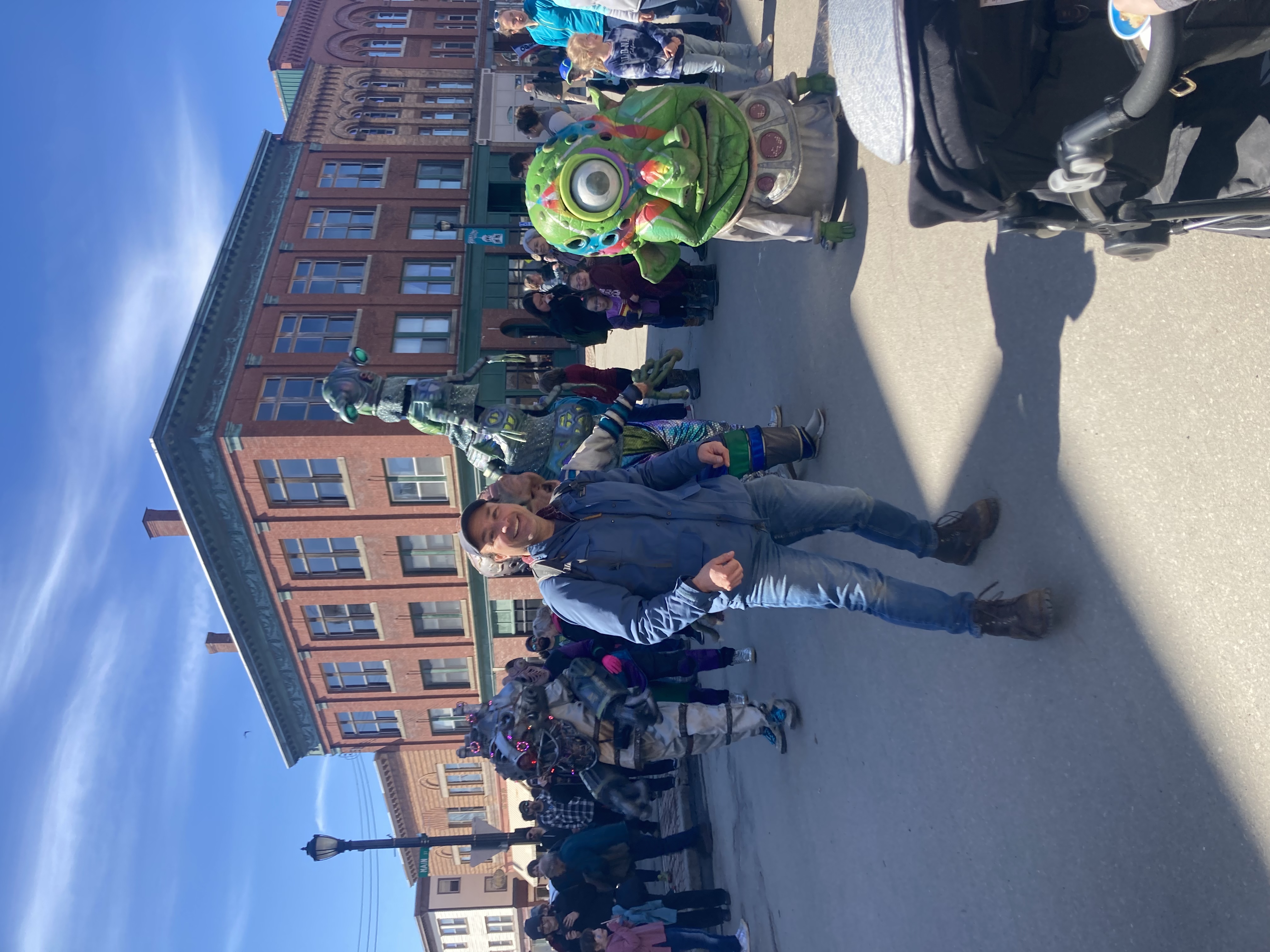
It’s true that Houlton swelled with more than 20,000 visotrs on eclipse day, and it’s also true that personal jet traffic into Houlton International Airport was very brisk that day. Rumors swirled that Taylor Swift herself was in town for the day. We did not see her — or did we? The band of roving martian creatures was very well choreographed and definitely had a diva-esque vibe. What better way for her to let down her tentacles and migle with the commoners.
Besides that buzz of excitement, though, things never really got oppressively crowded or overly intense. We enjoyed mingling with the commoners as much as Taylor did.
Meanwhile, the Ervins ended up finding a hillside in Smyrna where a handful of other people were set up to observe the eclipse. They sat on the hill and watched nature all day, up to and including the eclipse, with a view of Katahdin. It was just the experience they were looking for.
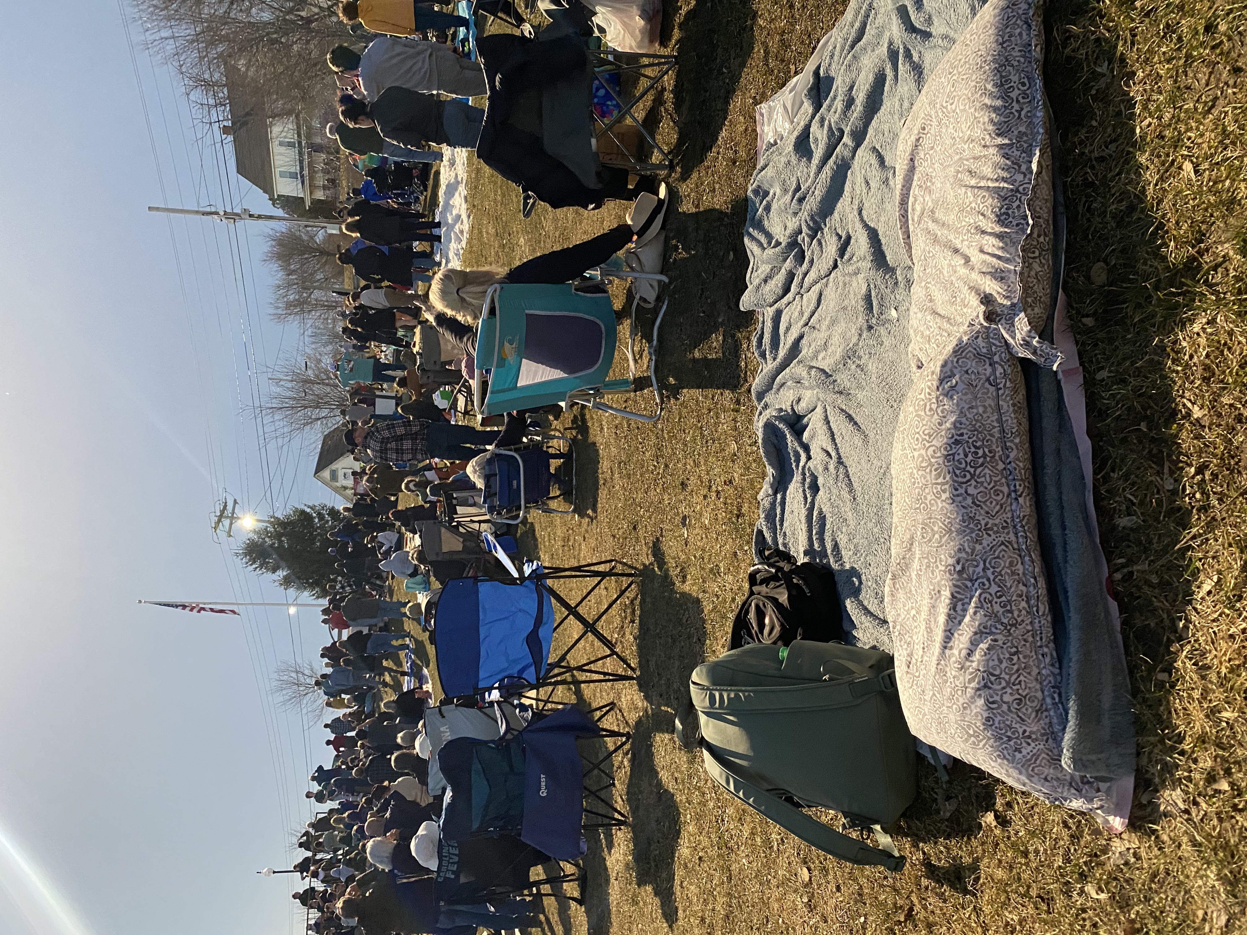
The park filled up as the eclipse approached.
In “crazy” Houlton we experienced the surreal experience of totality. From the first second of contact, which I learned about because the people behind me had an app that announced eclipse milestones, through the various percentages of moon coverage, we shared the experience with several hundred people in the park.
We found ourselves in the background of the Weather Channel broadcast, and kept abreast of the milestones thanks to our neighbors’ app. To my immediate left was a man named Chris who talked about how he had viewed his first eclipse at a child in Bucksport, ME. He watched his second eclipse with his son in the Midwest. Today was his third eclipse.
 We talked with a photographer from the New York Times who was interested in our colander trick. We took pictures of each other peering through eclipse glasses or manipulating the pinhole camera that we made. We heard snippets of conversations in 360 degrees all around us.
 The light certainly changed gradually, but we noticed the change suddenly. It wasn’t noticeably darker; Zoe described it as “more saturated.” Darks looked more profound. Red and green looked more vivid. Other colors were washed out. We spent time remarking on this, and how we were at about 98 percent coverage, which is about as much of an eclipse as the people who stayed back home would get to see.
Then it got progressively and noticeable weirder. Definitely darker, definitely colder. Most people had put their coats on. It was a strange twilight where the whole periphery was sill pretty light, but right above was dark. It felt like it should be raining – storming.
The Weather Channel man carries on, despite less-than-stellar lighting.
The crowd chattered. The man from the Weather Channel called out to the crowd and asked if we were ready. People started cheering.
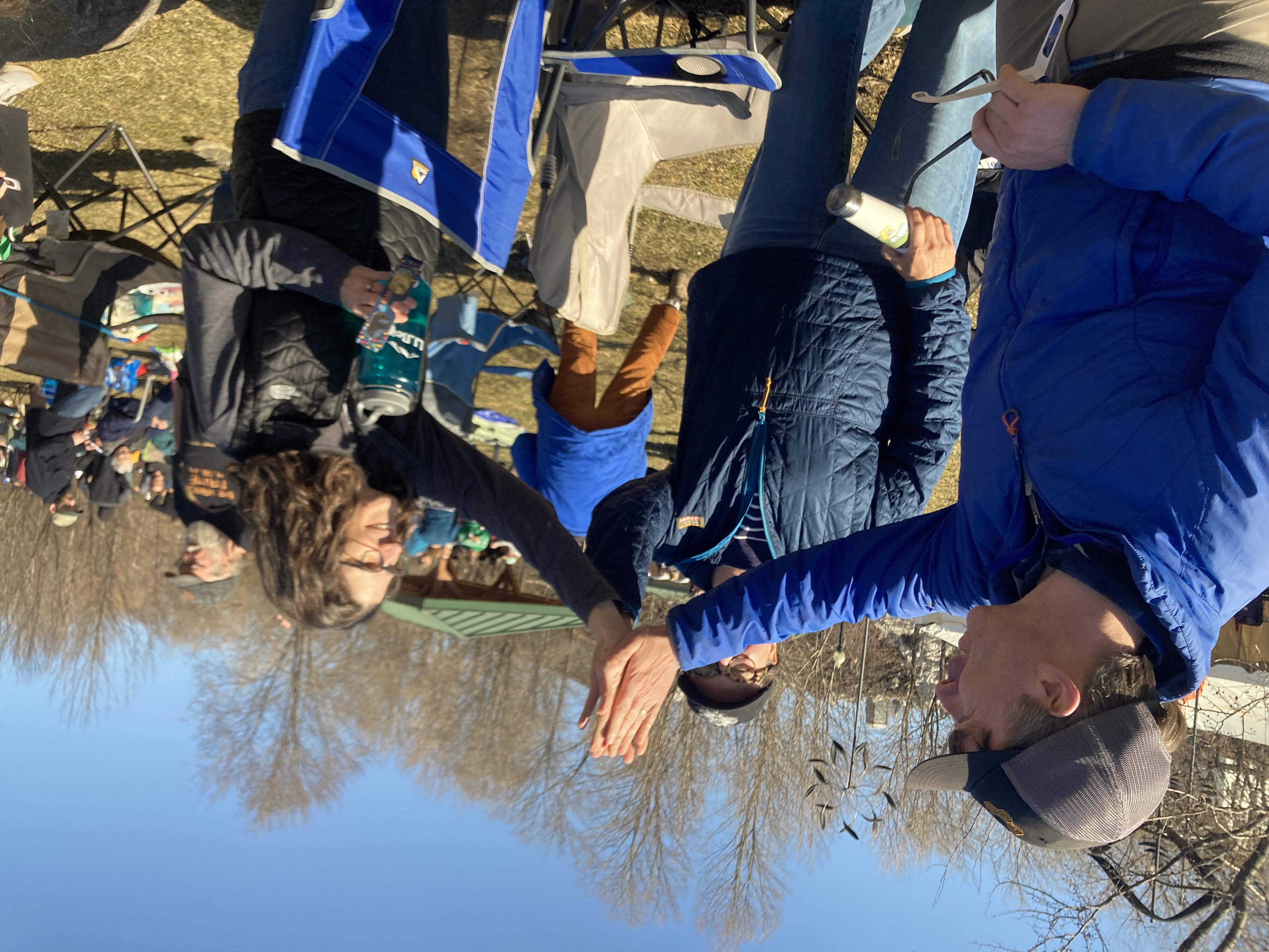
 And then, totality. The darkness went most of the way down the sky. The streetlight next to the flagpole at the top of the park came on. Someone said we could take off our eclipse glasses and look. There were all forms of non-standard verbal communication – gasps and aaahhs. I remember Trisha yelling “Oh, my God!” multiple times, but I missed getting a video of it. I went to hug Jen and possibly ruined the picture she was trying to take.
 The lights on the footbridge went on. The Oohs and Aaahs continued, and the crowd whispered reverently. There was stirring at the same time as silence, somehow.
Eventually, I thought to look up myself. It took some effort to look up, actually. My brain and body are conditioned to not look up at the Sun.
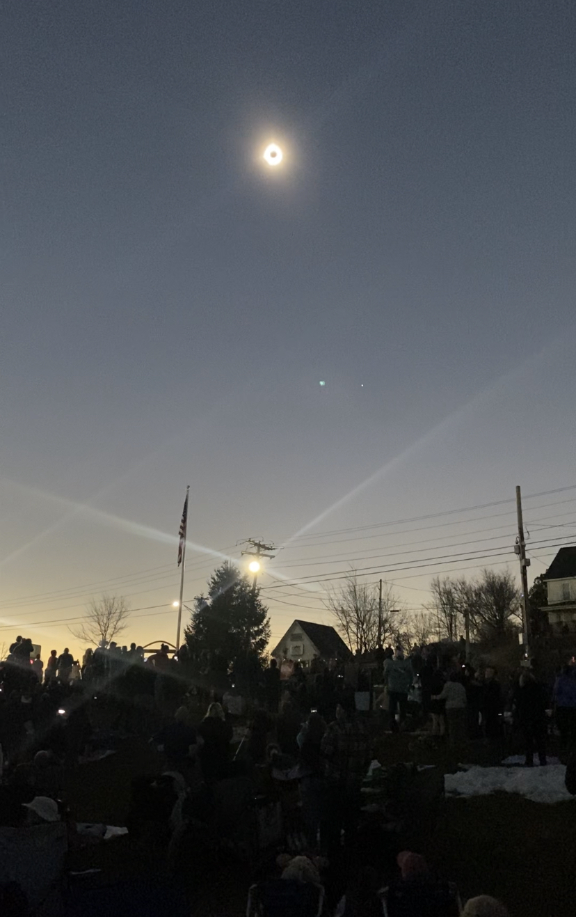
Note the streetlights — and Venus — shining at 3:35 pm.
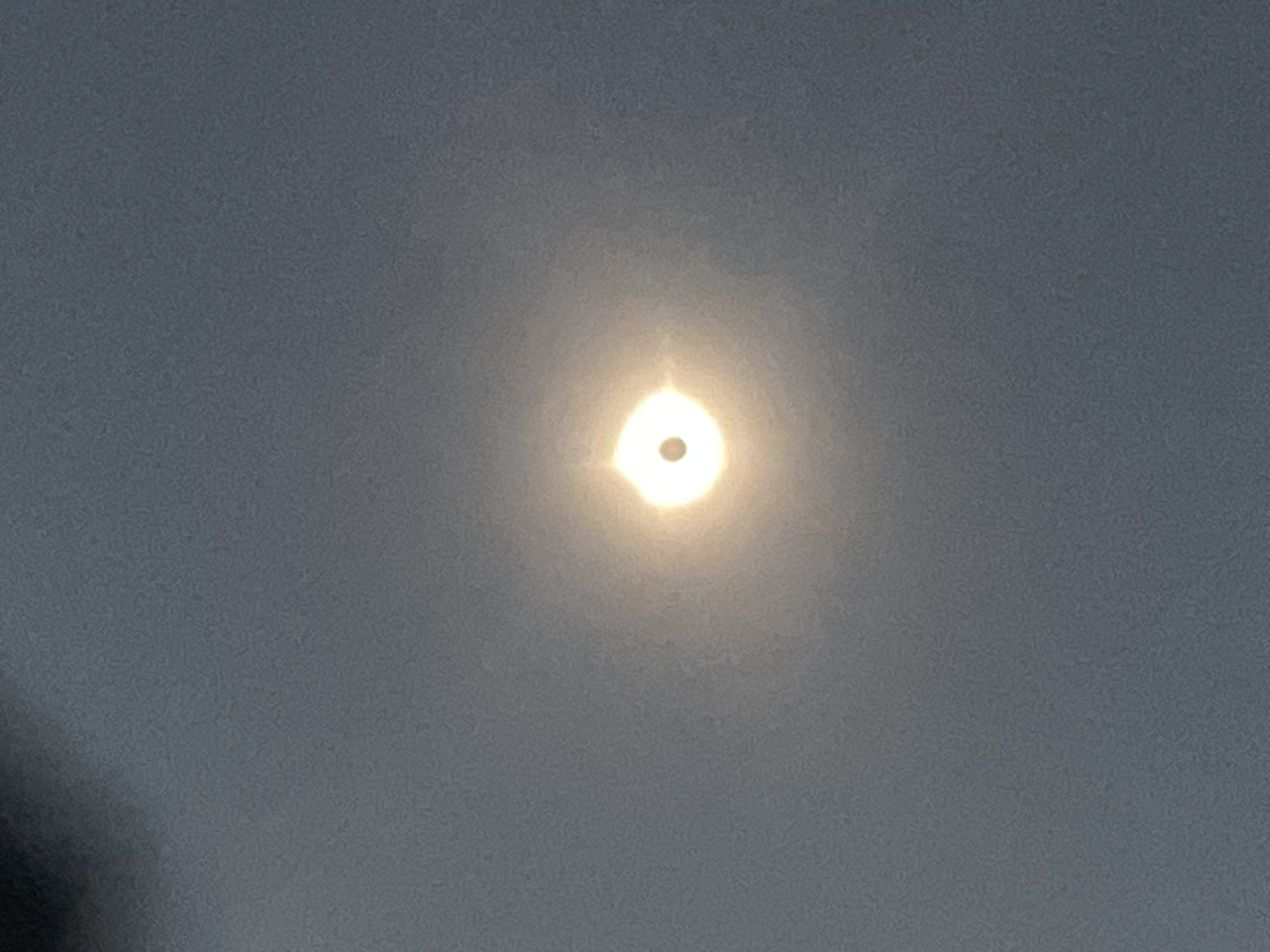
What I saw was pretty much like the pictures we’ve studied over the past several weeks: dark disk surrounded by pale streaks in all directions. It was larger than I expected it to be, or maybe it appeared larger the way the moon does when it’s near the horizon. My attempts to photograph it were mostly a failure, but in one of my pictures you can clearly see the pinprick in the sky that we later learned was Venus. Just off screen was another pinprick that was Jupiter.
My phone and Trisha’s were propped up taking automatic pictures for the Citizen Science project.
We took all of this in, the stillness and the murmurs. And then, even though it seemed like much less than 3 minutes and 30 seconds had passed, someone told us to get ready for the “Diamon Ring effect”.
 There was a quick burst of light on the bottom right of the circle and we were quickly warned to put our eclipse glasses back on.
Totality was over.
The Weather Channel man asked what we thought, and the crowd cheered.
Our little clan recovered. We regrouped. We revisited the portapotties (still not an unbearable line). And then we started to break camp.
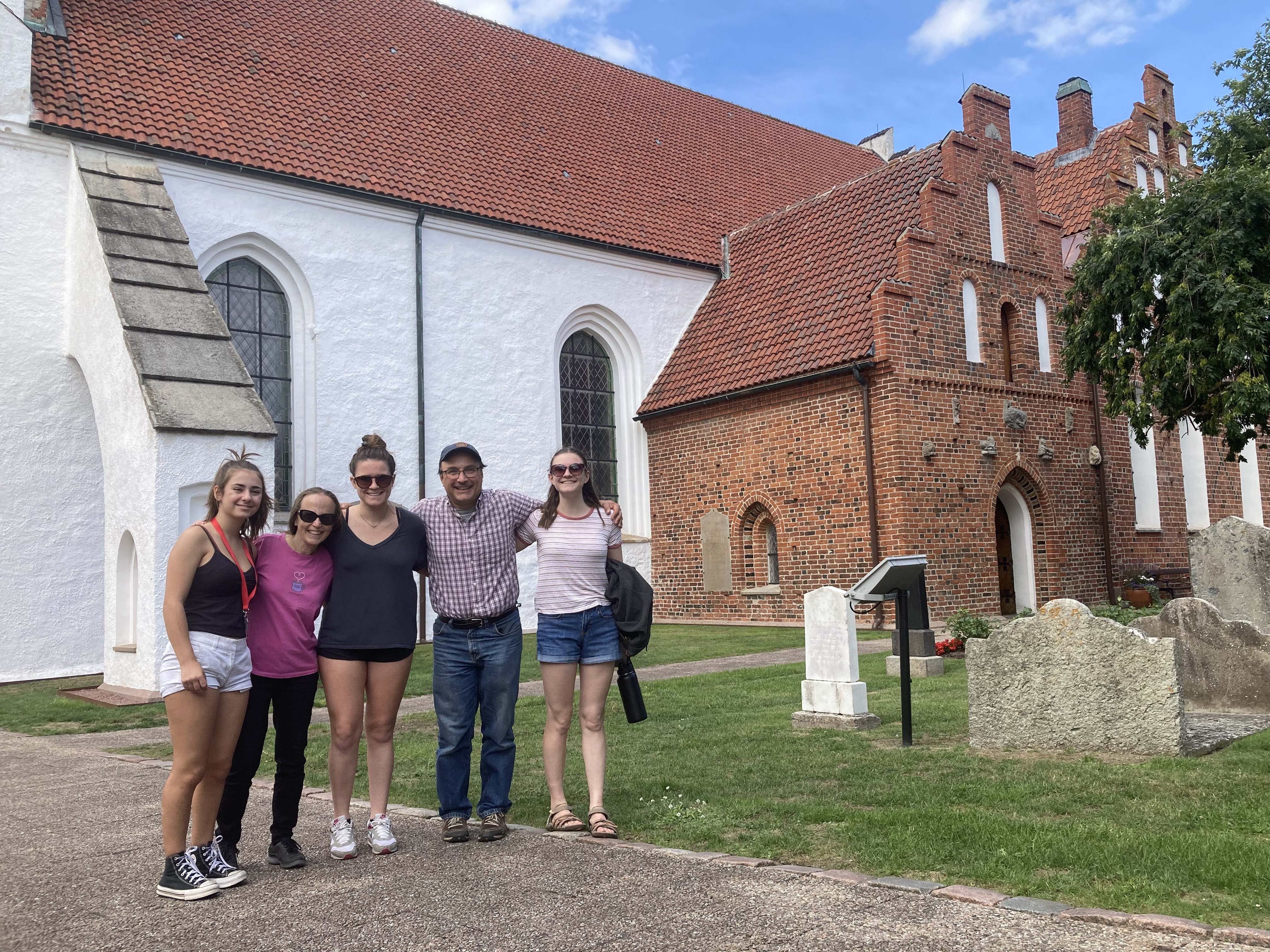
They’re already planning the next eclipse trip.
On our way up the path to the parking lot Chris asked a photographer how their shots came out. The man said he got great pictures of the partial eclipse, and then forgot to take his filer off for totality. Another photographer next to him did the same thing.
Traffic, which had been a concern for us, turned out to be a non-issue. It would have been less of an issue of we’d listened to the (seemingly drunk) man on his front porch urging us to take a left off of Route 1 and bypass the already accumulated backup. We eventually got the message and turned off after another block of gridlock.
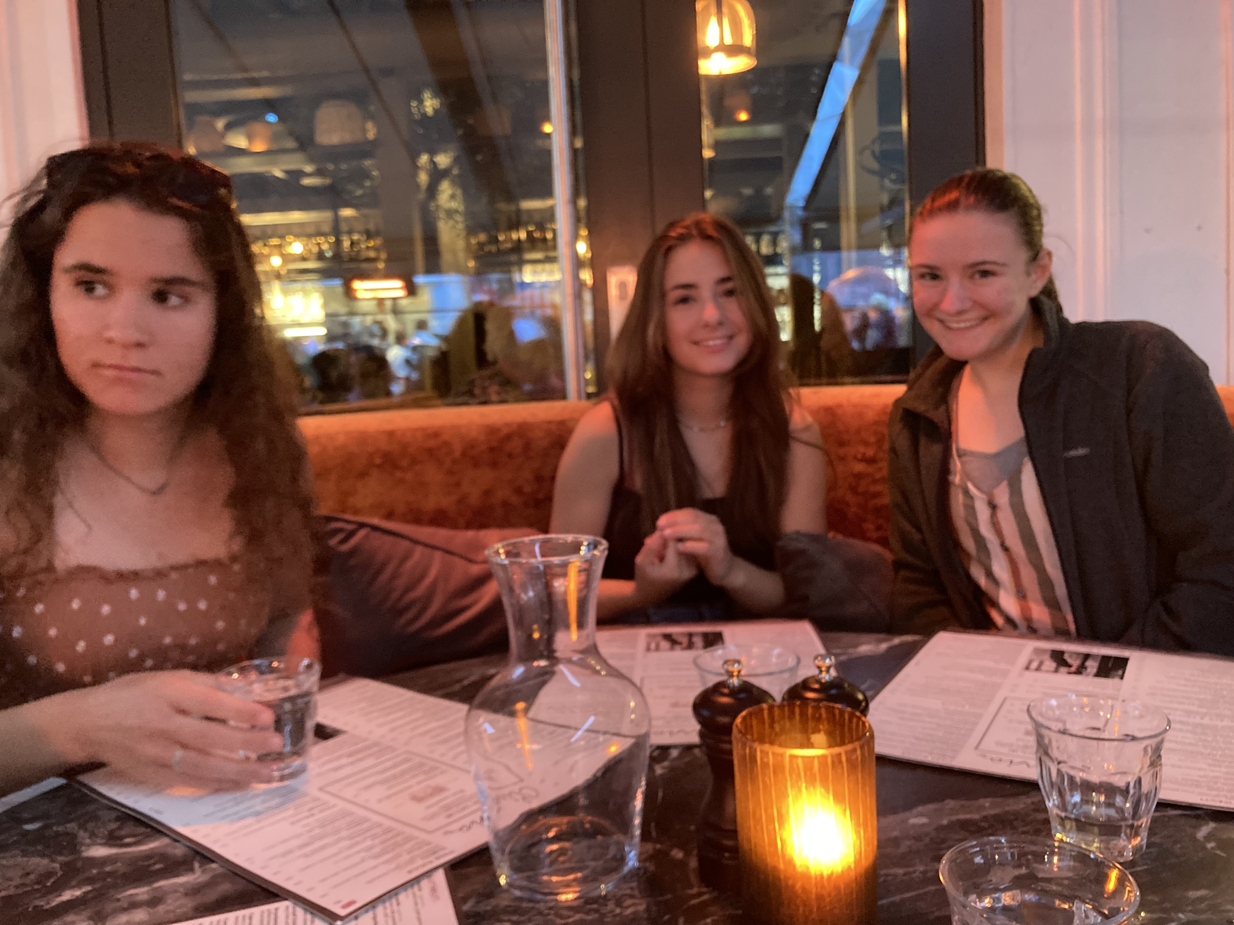
 The trip to Bangor took only about an hour longer than we would have expected. We rearranged bags between cars back at the hotel and made the fateful decision to dine at the adjacent Olive Garden (the Orono Brewing Company was unfortunately closed). It was a drawn-out affair, and we didn’t get headed back home until almost 9. Those of us headed to Durham made it into town around midnight. It was a pretty smooth drive, unlike the stories we heard from other parts.
We will be talking about this trip for years — any and all traffic encountered will soon be forgotten.
Meanwhile, there’s already talk of traveling to the next accessible eclipse. Anyone else up for a trip to Spain?